Navigacija po spletni strani
Pridobite to turo v svoj mobilni telefon
Zemljevid
Mosel cycle path (entire route): From Perl to Koblenz
težko
Kolesarjenje na dolge razdalje
247.91 km
Skenirajte kodo QR in začnite navigacijo v aplikaciji bergfex.
QR Code
Pohodništvo in sledenje
Prenos za iOS
Prenos za Android

Mosel cycle path (entire route): From Perl to Koblenz

težko
Kolesarjenje na dolge razdalje 4,0
Zemljevid
Razdalja
247.91 km
Trajanje
17:00 h
Ascent
418 hm
Morska gladina
63 - 188 m

Stopnja težavnosti: 2
Prenos skladbe
Zemljevid
Mosel cycle path (entire route): From Perl to Koblenz
težko
Kolesarjenje na dolge razdalje
247.91 km

The Mosel cycle path is one of the most popular river cycle routes in Germany and follows the Mosel over 248 kilometers from the tri-border point in Perl to its mouth into the Rhine in Koblenz. The 4-star...

Opis

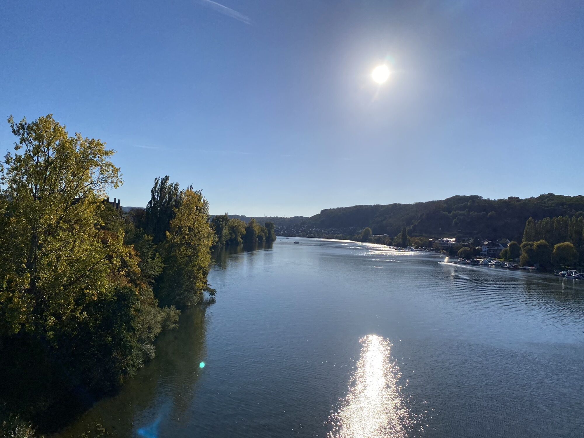
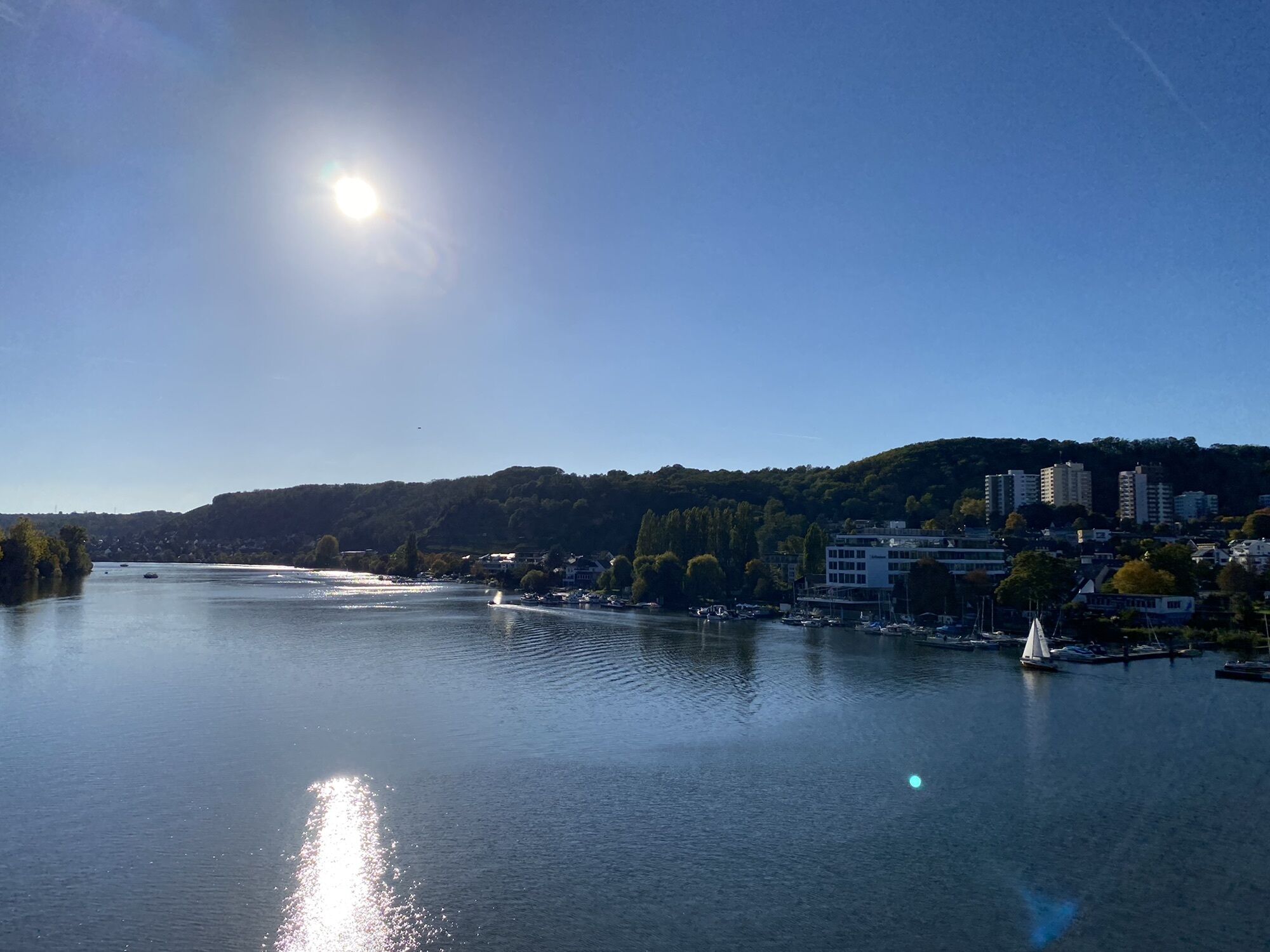
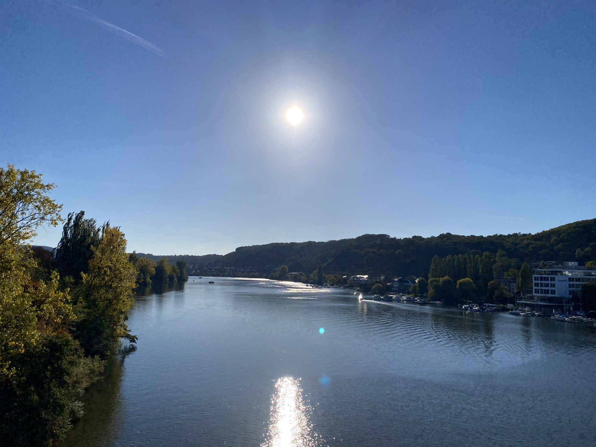
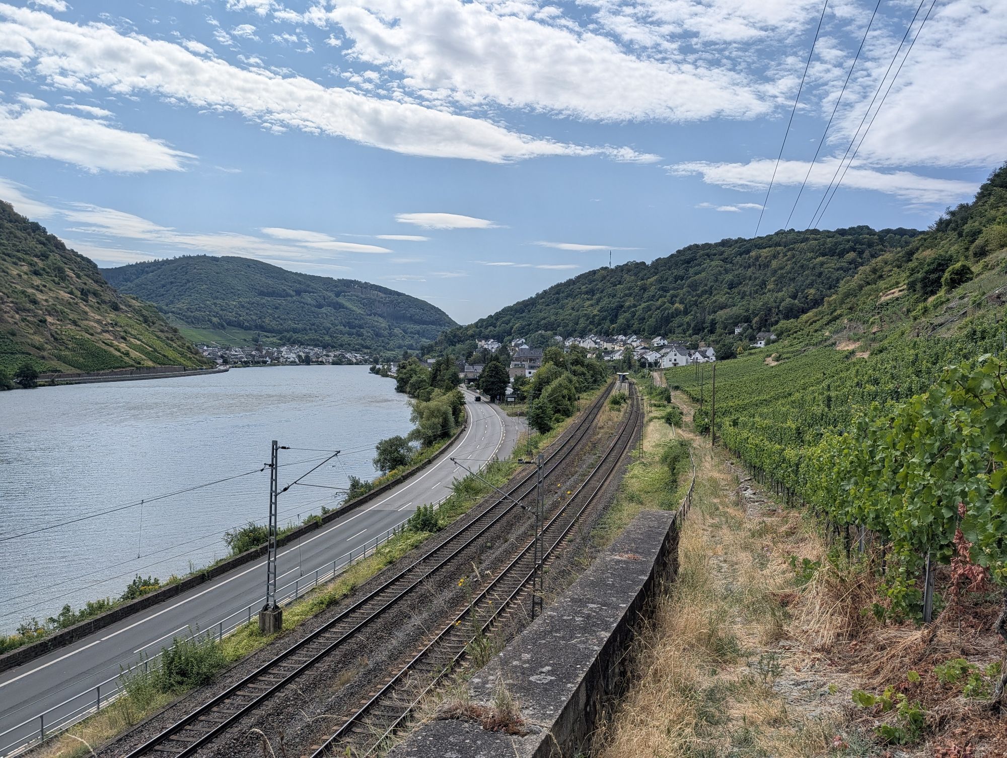
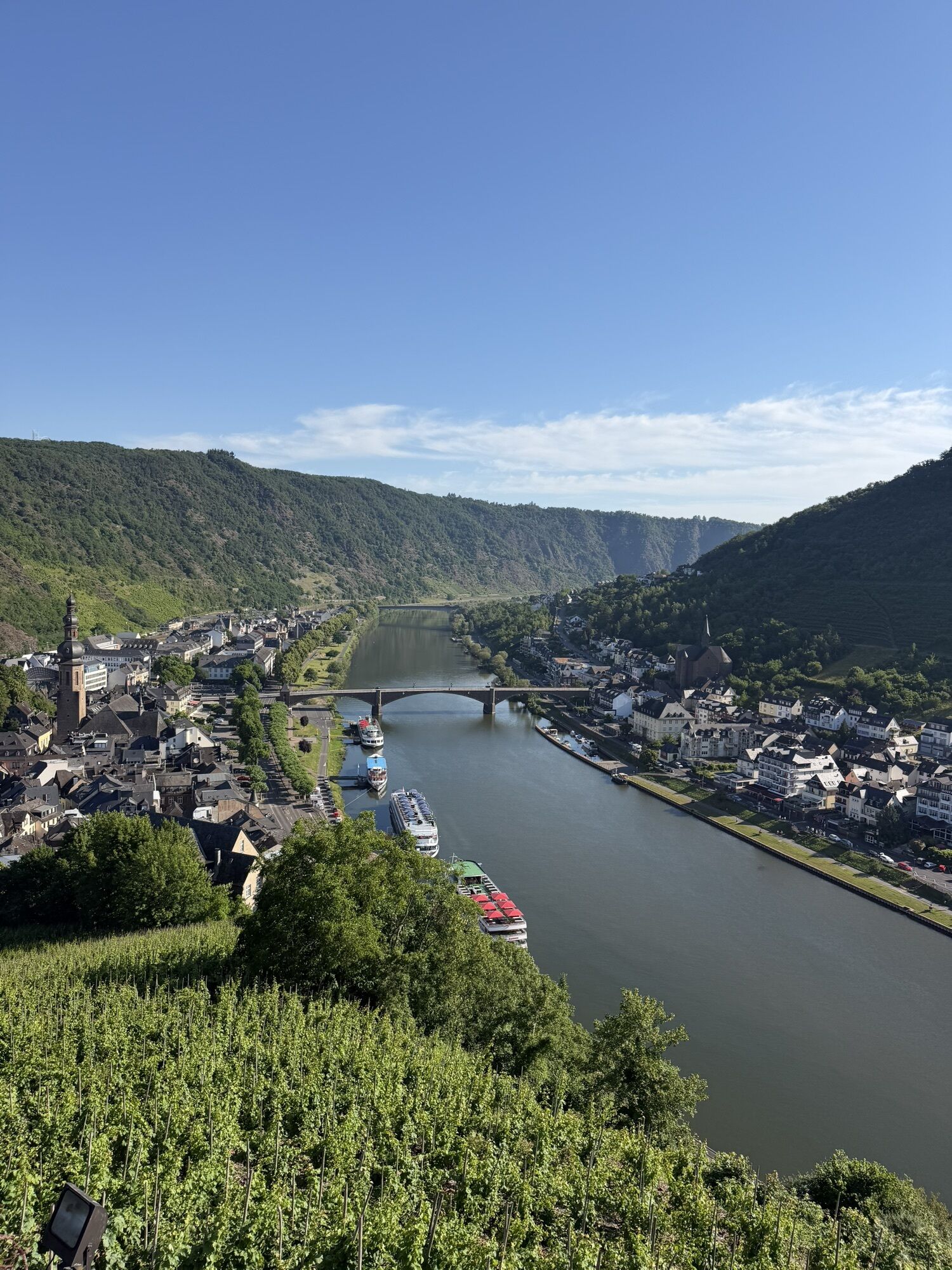
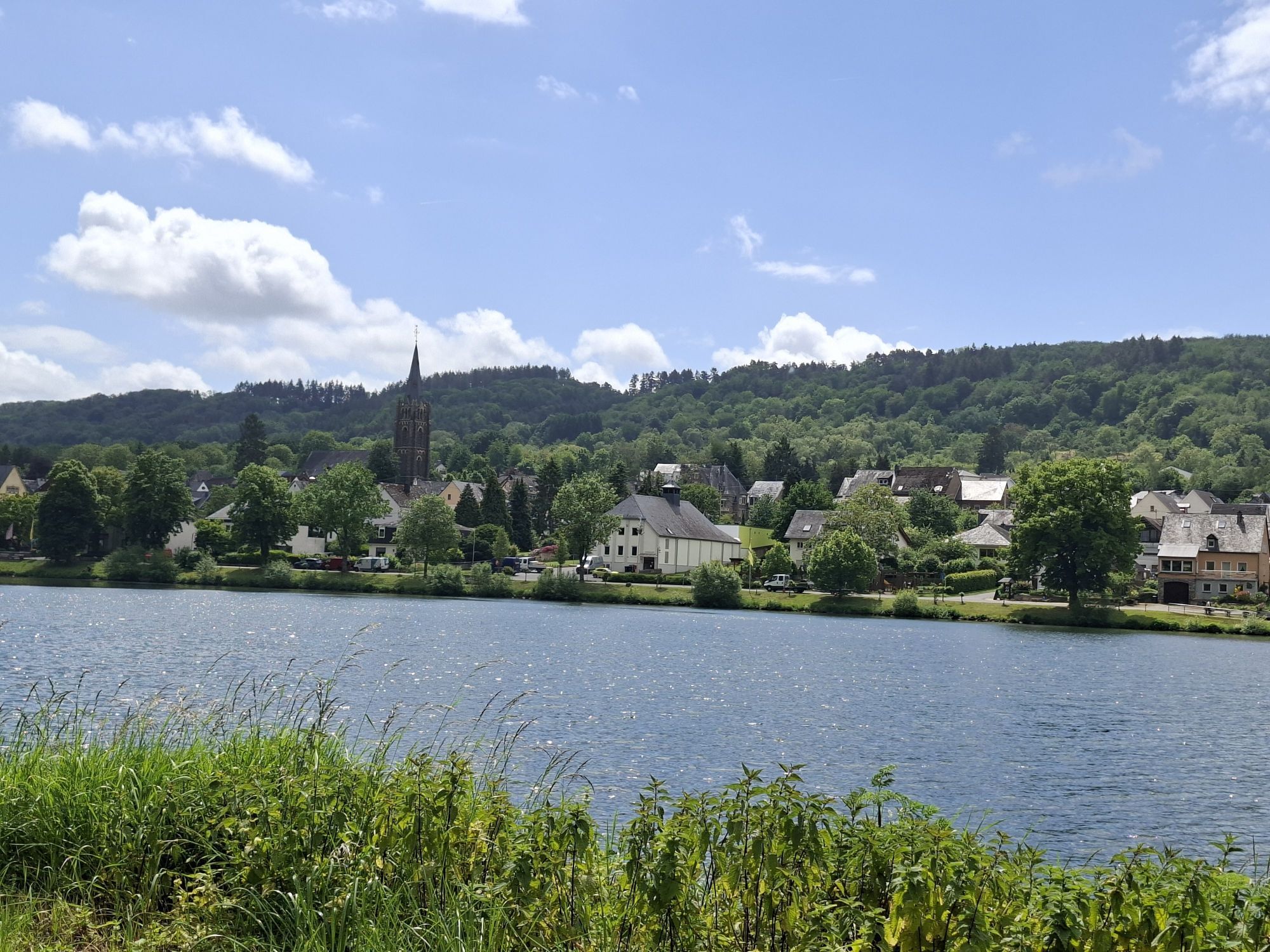
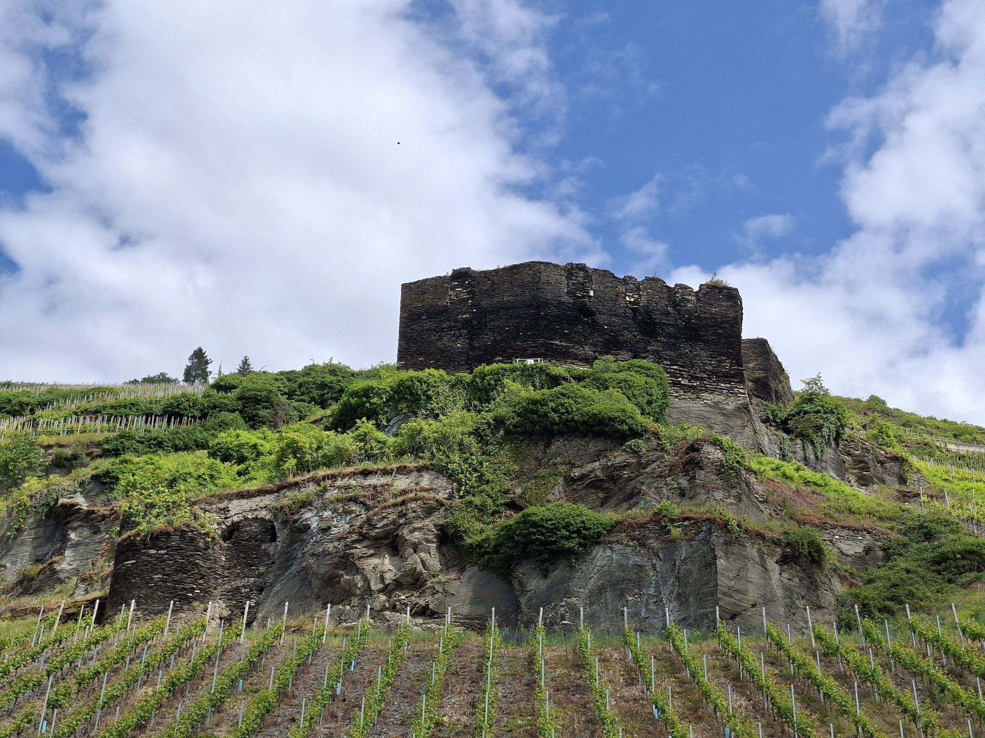
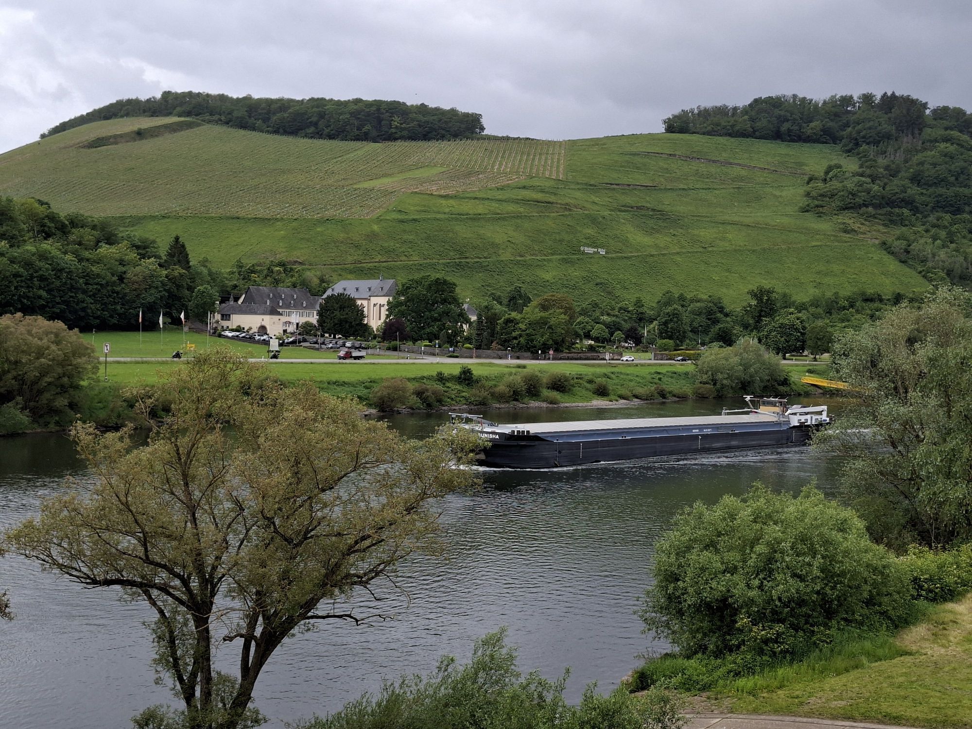
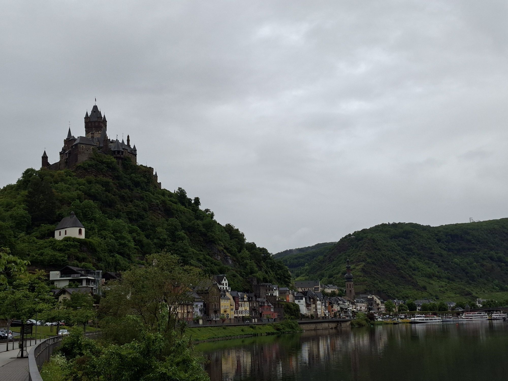
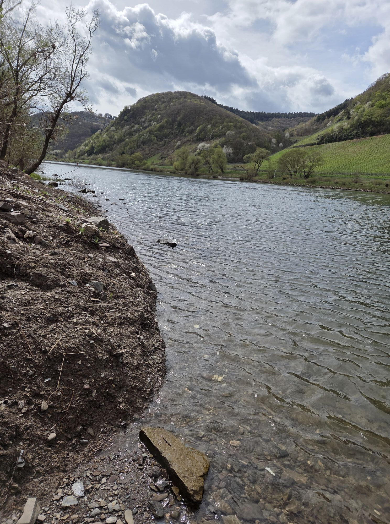
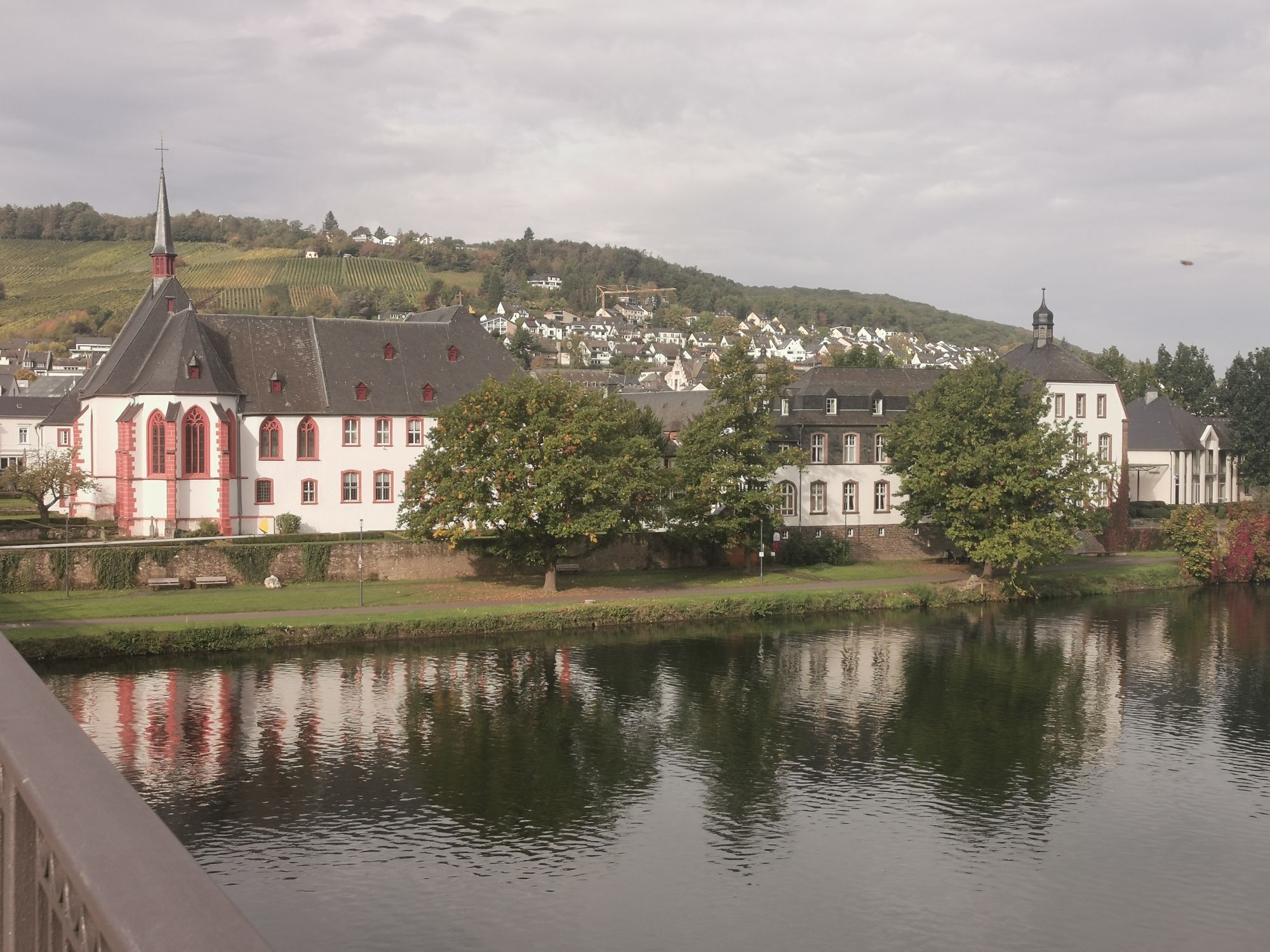
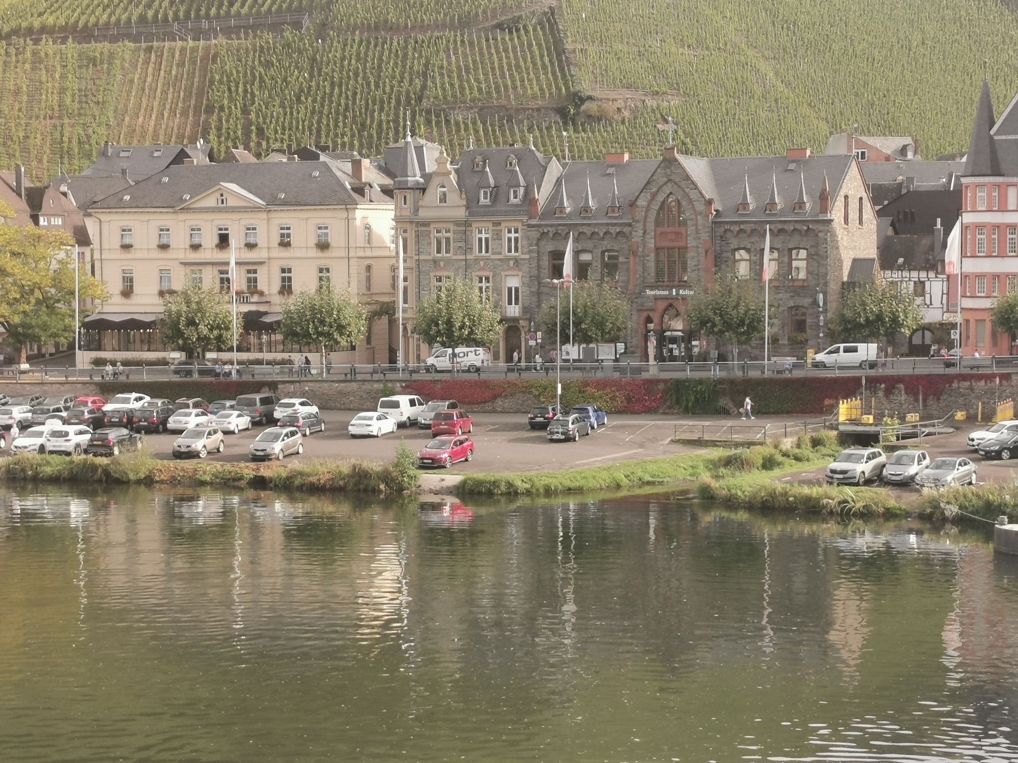
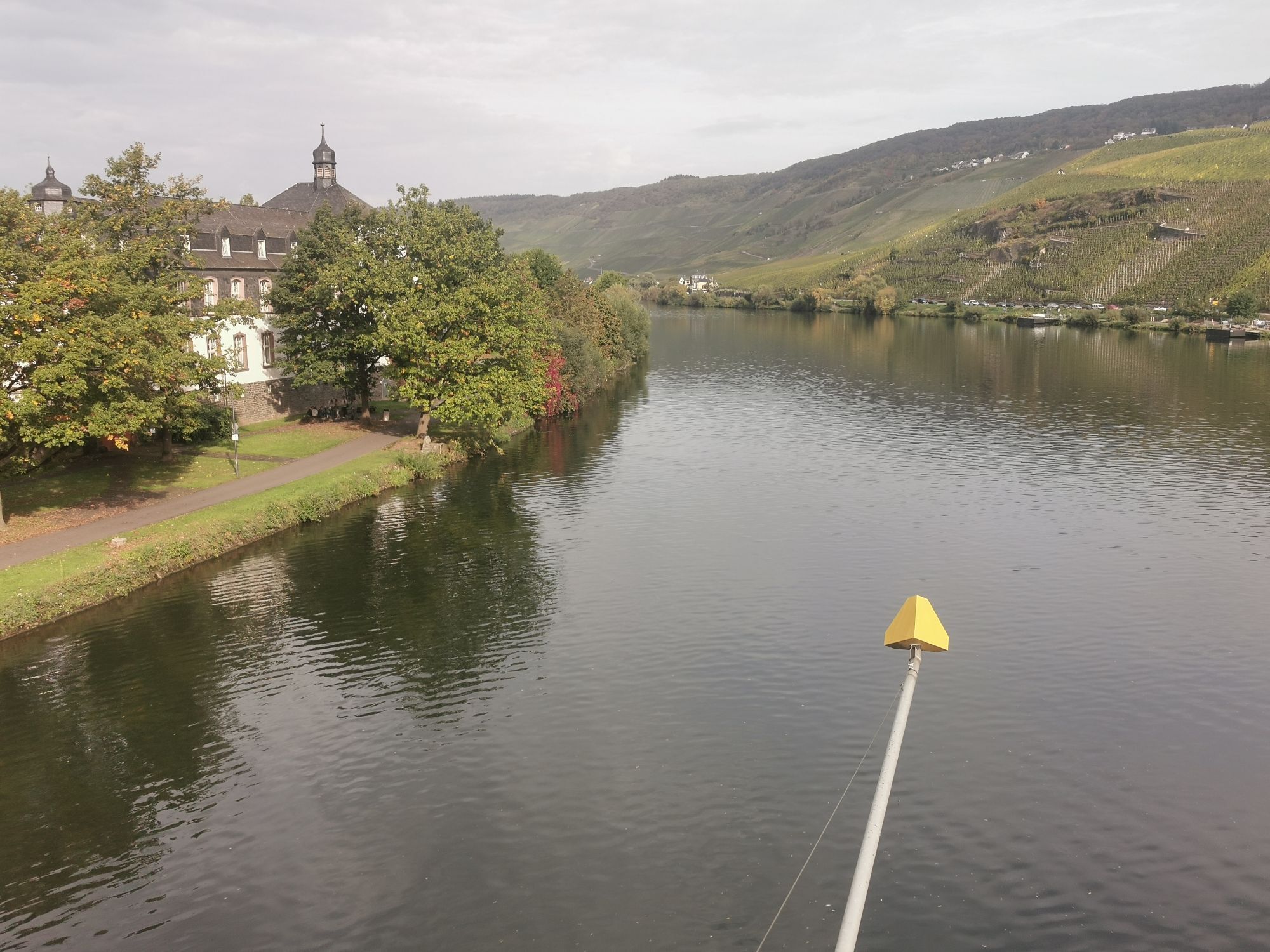
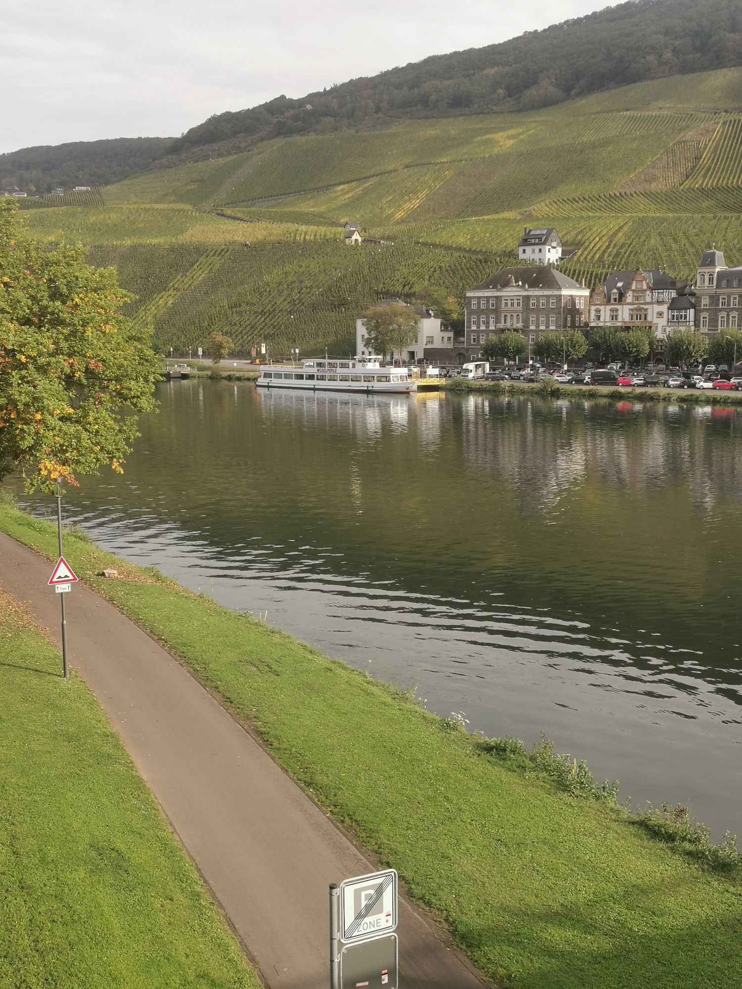
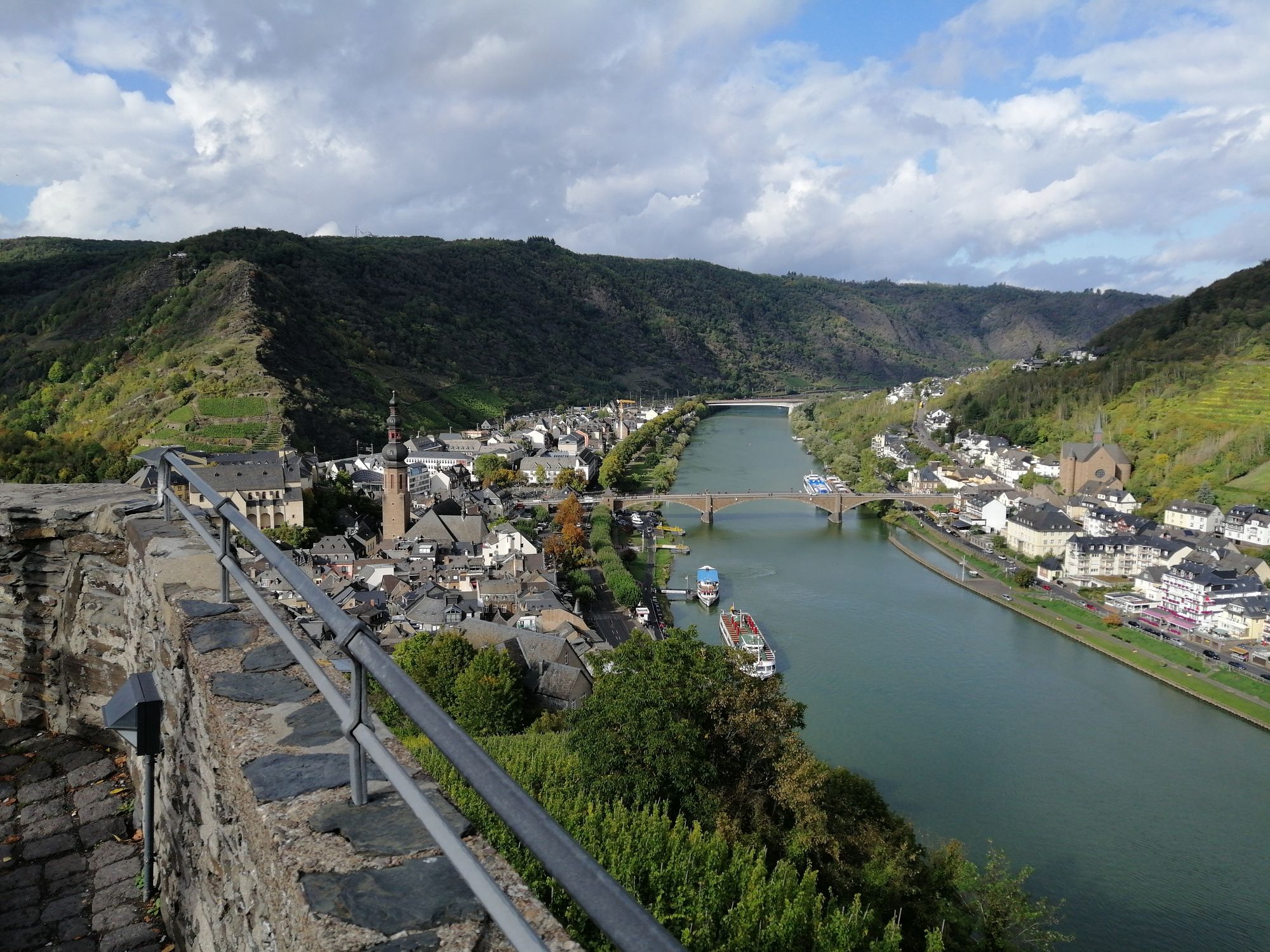
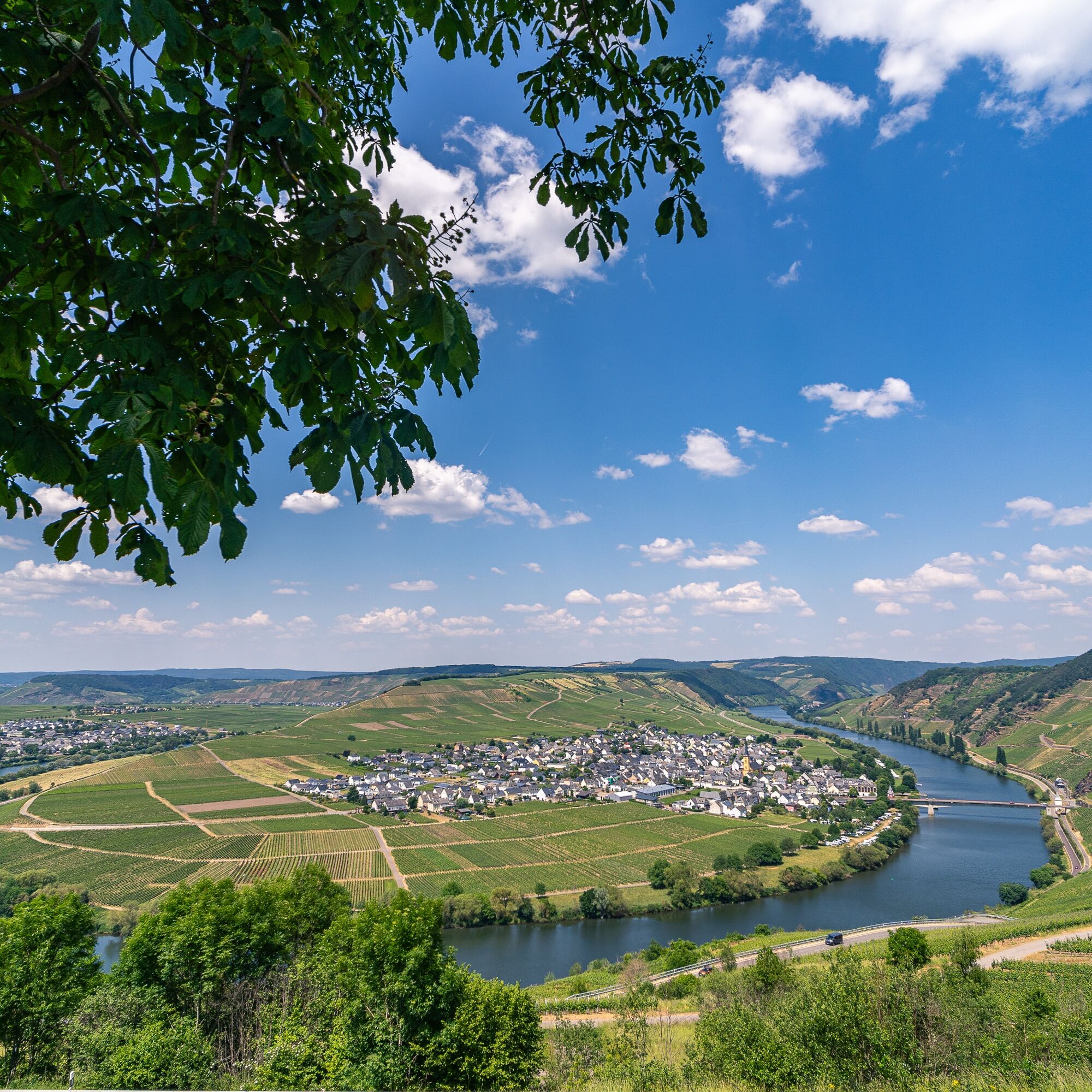
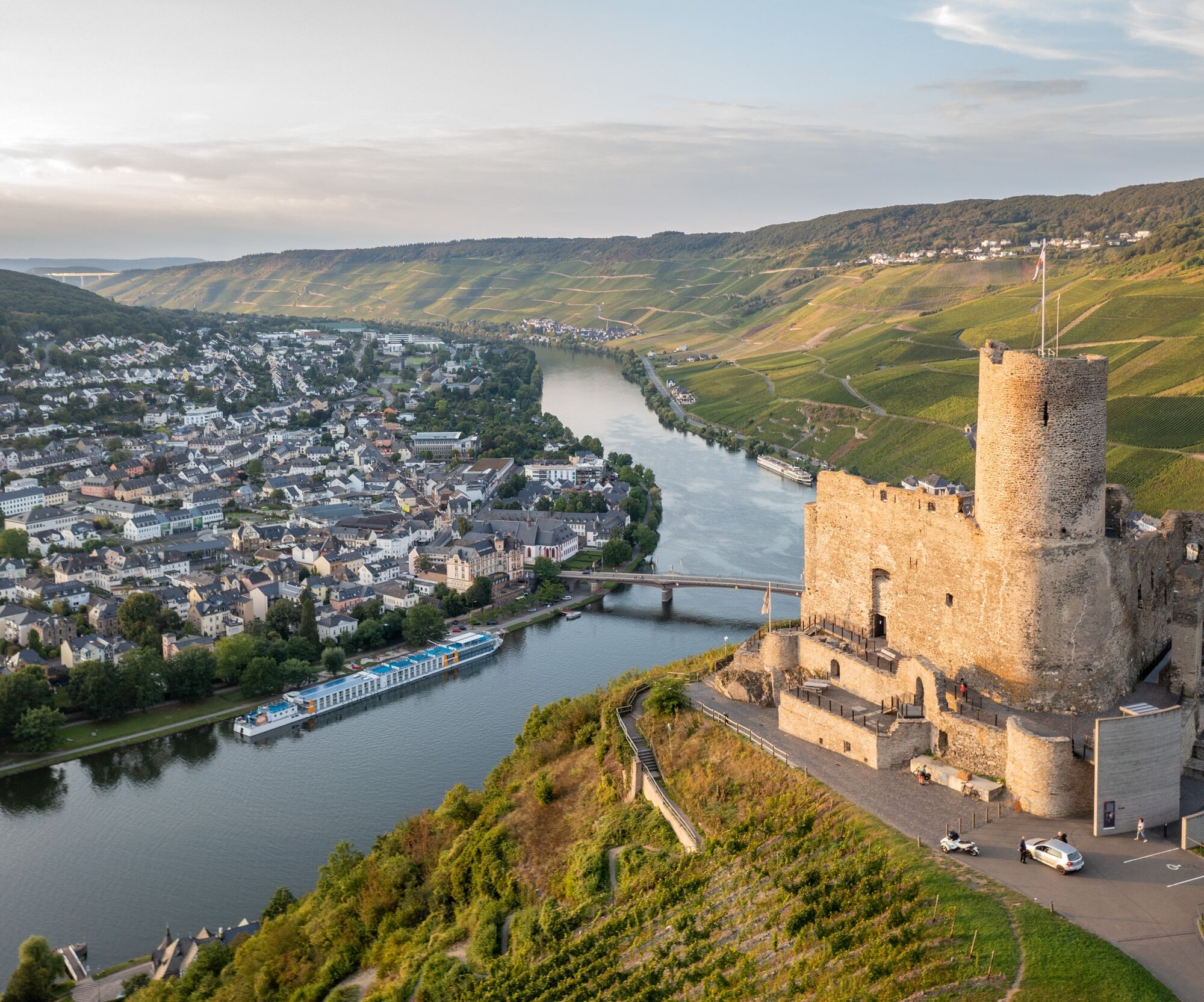
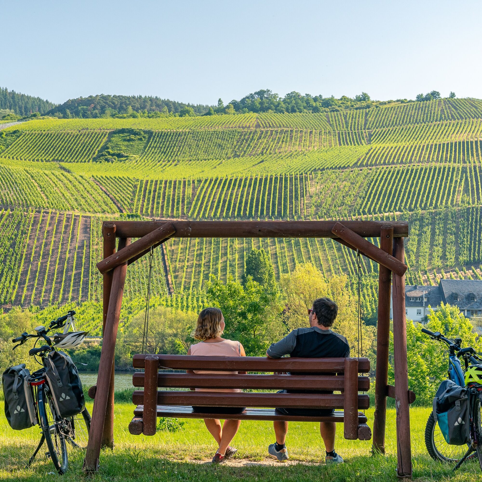
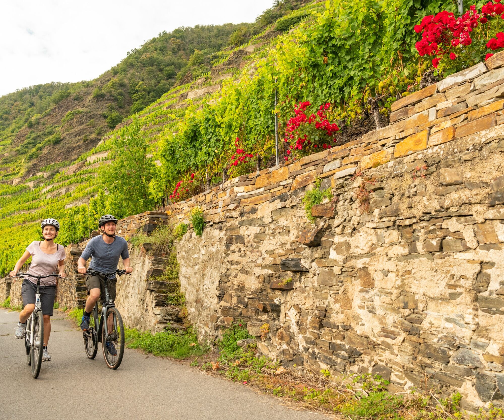
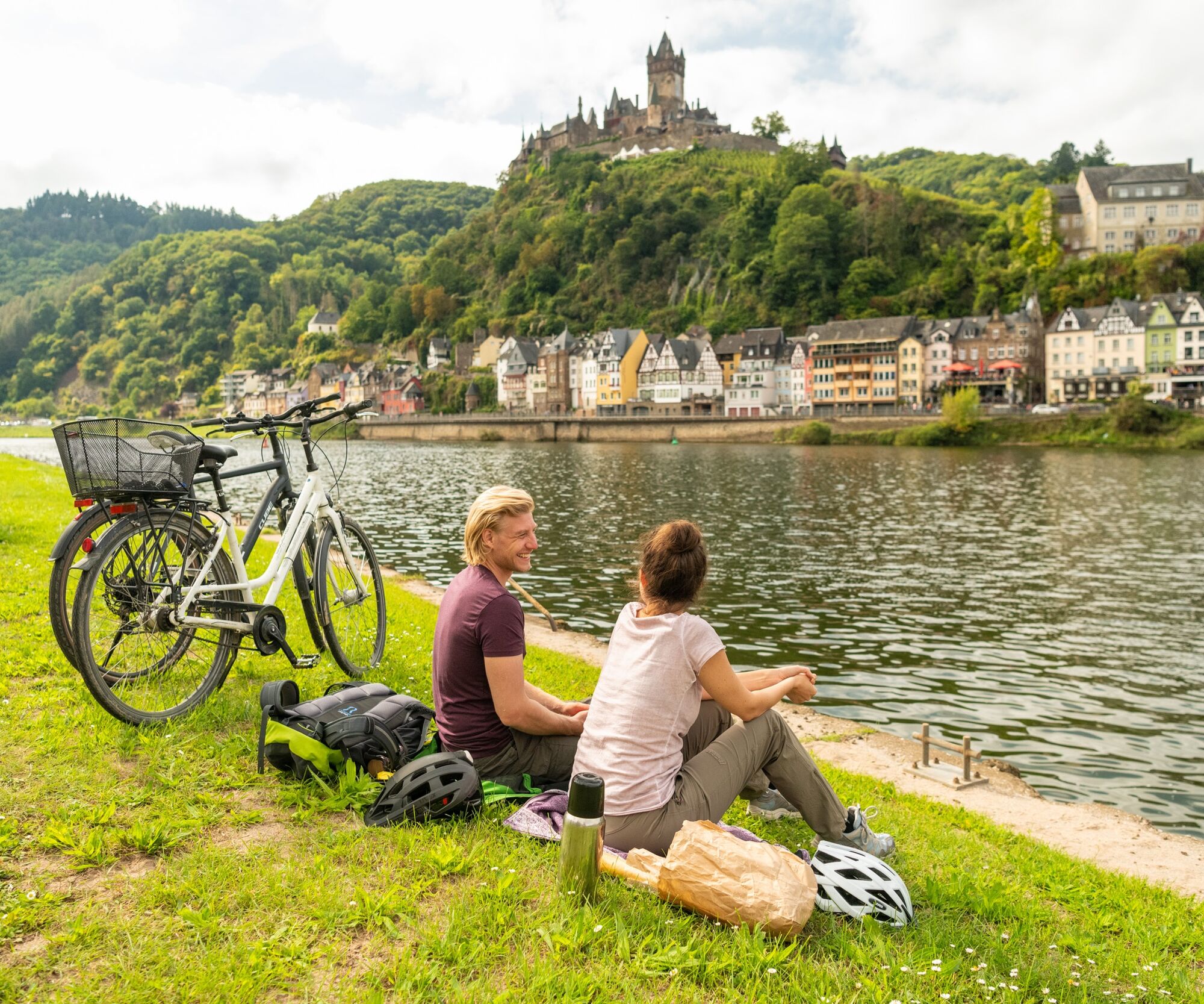
The Mosel cycle path is one of the most popular river cycle routes in Germany and follows the Mosel over 248 kilometers from the tri-border point in Perl to its mouth into the Rhine in Koblenz. The 4-star ADFC quality cycle route leads past countless wineries and world-famous vineyards, imposing rock formations, medieval wine villages, ancient sites, and impressive castles. No other German wine region offers such natural contrasts between breathtaking steep slopes and gentle river valleys while simultaneously providing a wealth of historical cultural monuments.

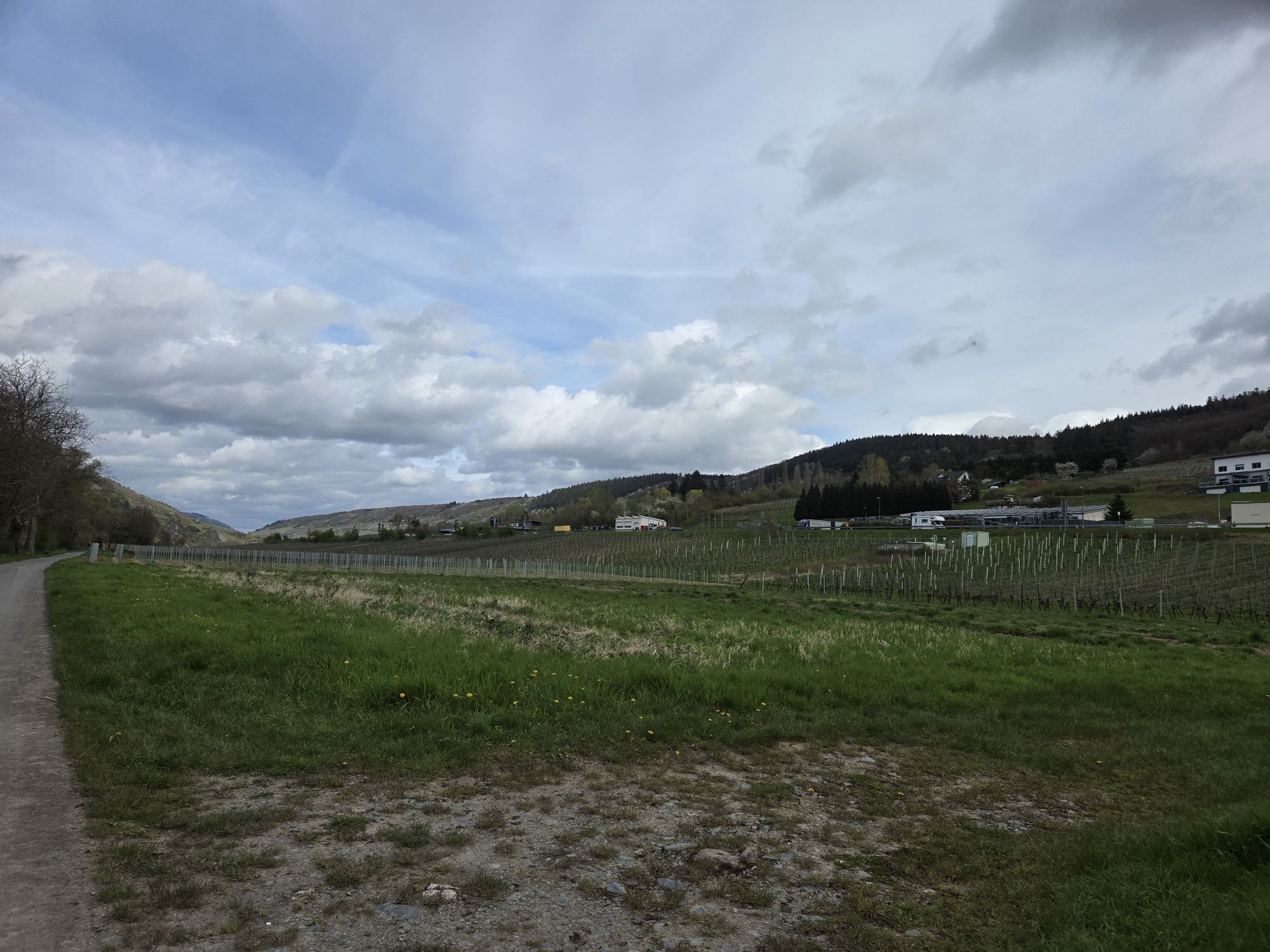
It's not athletic ambition that counts here, but enjoyment. On the Mosel cycle path, you encounter the steepest vineyards in Europe. However, those cycling on the Mosel cycle path do not have to conquer these slopes. The route primarily runs on paved and traffic-separated sections, mostly flat and without gradients, so that even leisure cyclists can easily tackle the route.

And what could be better than complementing active nature enjoyment with culinary delights? For hungry and thirsty cyclists, there are plenty of excellent opportunities right on the way to stop, indulge, and taste fine wines. Because a journey on the Mosel cycle path is always also a journey to the top wines of the region.

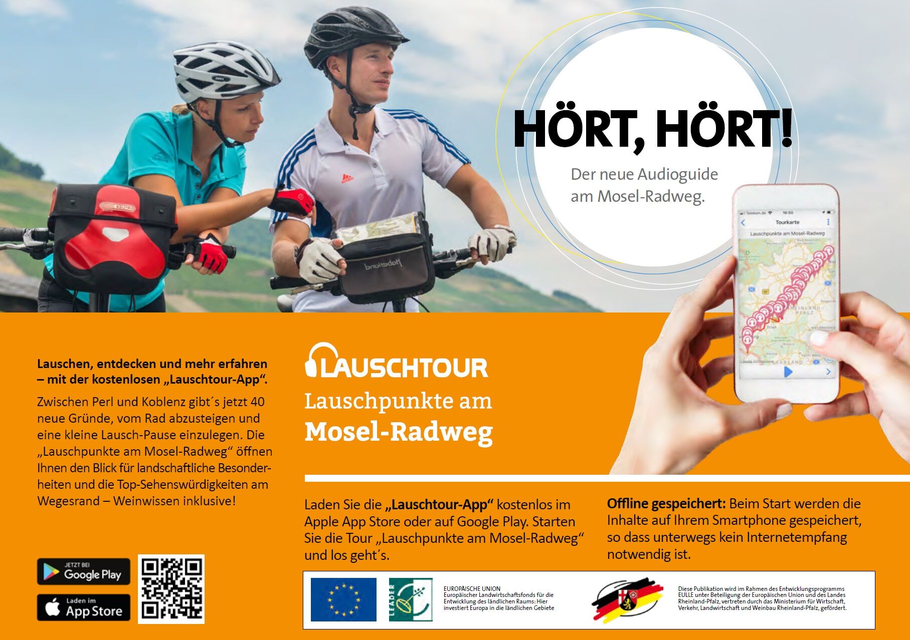
Tip: The new audio tour "Listening points on the Mosel cycle path" 

Get to know the Mosel during a listening pause. 40 listening stations between Perl and Koblenz encourage a closer look and repeatedly draw attention to surprising discoveries along the route. The listening tour app can be downloaded free of charge from the Apple App Store or Google Play.

Pot
St. Kunibert
(143 m)
Kraj čaščenja
27.4 km
Sankt Georg
(128 m)
Kraj čaščenja
65.1 km
Simultankirche St. Remigius
(116 m)
Kraj čaščenja
109.8 km
Bernkastel-Kues
(117 m)
Mesto
117.3 km
1886
(126 m)
Kraj čaščenja
160.4 km
Maximinus-Heiligenhäuschen
(83 m)
Kraj čaščenja
199.3 km
Alt-St. Servatius
(81 m)
Kraj čaščenja
240.7 km
Pot
Zemljevid
Mosel cycle path (entire route): From Perl to Koblenz
težko
Kolesarjenje na dolge razdalje
247.91 km
Schengen
(147 m)
Vas
0.0 km
Besch
(160 m)
Vas
3.2 km
Bech-Kleinmacher
(144 m)
Vas
6.5 km
Remich
(146 m)
Mesto
8.2 km
Palzem
(167 m)
Vas
11.5 km
Stadtbredimus
(148 m)
Vas
11.8 km
Hëttermillen
(158 m)
Vas
15.4 km
Wehr (Mosel)
(172 m)
Vas
15.5 km
Ehnen
(144 m)
Vas
16.9 km
Wormeldange-Haut
(215 m)
Vas
18.7 km
Wincheringen
(143 m)
Železniška postaja
19.0 km
Wormeldange
(149 m)
Vas
19.1 km
Rehlingen
(188 m)
Vas
21.1 km
Ahn
(147 m)
Vas
21.4 km
Nittel
(149 m)
Vas
24.7 km
Machtum
(143 m)
Vas
25.3 km
Wellen
(143 m)
Vas
27.3 km
St. Kunibert
(143 m)
Kraj čaščenja
27.4 km
pehna's Restaurant
(143 m)
Restavracija
27.5 km
Wellen (Mosel)
(140 m)
Železniška postaja
27.9 km
Grevenmacher
(141 m)
Mesto
28.7 km
Temmels
(143 m)
Vas
30.6 km
St. Peter
(139 m)
Kraj čaščenja
30.7 km
Mertert
(139 m)
Vas
32.5 km
Wasserbillig
(139 m)
Vas
34.4 km
Oberbillig
(146 m)
Vas
34.5 km
Oberbillig
(131 m)
Pristanišče za trajekte
34.7 km
Wasserbilligerbrück
(139 m)
Soseska
35.0 km
Wasserliesch
(138 m)
Vas
37.4 km
Reinig
(136 m)
Soseska
37.9 km
Konz
(138 m)
Mesto
39.6 km
Karthaus
(135 m)
Soseska
42.0 km
Löllberg
(181 m)
Soseska
44.1 km
Zurlauben
(134 m)
Soseska
49.3 km
Trier
(137 m)
Mesto
49.5 km
Pallien
(151 m)
Soseska
50.0 km
In der Langwies unter Pallien
(127 m)
Koridor/teren
50.6 km
Die Langwies
(127 m)
Koridor/teren
51.7 km
Gaststätte zum Anker
(130 m)
Restavracija
54.9 km
Pfalzel
(132 m)
Soseska
55.3 km
Klosterschenke
(133 m)
Restavracija
55.5 km
Ehrang
(130 m)
Soseska
60.8 km
Issel
(132 m)
Soseska
64.9 km
Sankt Georg
(128 m)
Kraj čaščenja
65.1 km
Schweich
(137 m)
Mesto
66.7 km
Kirsch
(136 m)
Vas
67.7 km
Longuich
(130 m)
Vas
68.9 km
Longen
(135 m)
Vas
70.2 km
Lörsch
(129 m)
Vas
71.1 km
Mehring
(137 m)
Vas
73.6 km
Landgasthaus Mehringer Schweiz
(127 m)
Restavracija
74.7 km
Detzem
(129 m)
Vas
79.3 km
St. Agritius
(125 m)
Kraj čaščenja
79.6 km
Zum Anker
(124 m)
Restavracija
79.7 km
Ensch
(126 m)
Vas
80.6 km
Thörnich
(123 m)
Vas
81.3 km
Zur Alten Fähre
(123 m)
Restavracija
81.4 km
Straußwirtschaft K J Thul
(124 m)
Restavracija
81.7 km
Wein- & Sektmanufaktur Nikolaus Thul
(125 m)
Restavracija
81.8 km
Restaurant "Alter Bahnhof"
(126 m)
Restavracija
83.6 km
Moselhotel Ludwigs
(125 m)
Restavracija
84.4 km
St. Kunibert
(124 m)
Kraj čaščenja
84.6 km
Köwerich
(125 m)
Vas
84.6 km
Leiwen
(128 m)
Vas
86.9 km
Café und Wirtshaus Panorama
(127 m)
Restavracija
87.7 km
Trittenheim
(130 m)
Vas
89.6 km
Sankt Maria Himmelfahrt
(126 m)
Kraj čaščenja
93.0 km
Peterskapelle
(129 m)
Kraj čaščenja
93.2 km
Neumagen
(130 m)
Soseska
93.3 km
Neumagen-Dhron
(140 m)
Vas
94.5 km
Piesporter Siedlung
(132 m)
Soseska
98.0 km
Piesport
(133 m)
Vas
98.4 km
Katholische Allerheiligenkapelle
(119 m)
Kraj čaščenja
99.1 km
Müstert
(122 m)
Soseska
99.2 km
Minheim
(131 m)
Vas
102.5 km
Geierslay
(127 m)
Poravnava
104.2 km
Restaurant St. Michael
(123 m)
Restavracija
104.9 km
Sankt Stephanus
(124 m)
Kraj čaščenja
105.2 km
Wintrich
(127 m)
Vas
105.2 km
Kesten
(113 m)
Vas
107.4 km
Filzen
(142 m)
Soseska
108.8 km
Weinlaube/Weinstube Weingut Schiffmann-Junk
(116 m)
Restavracija
109.7 km
Brauneberg
(122 m)
Vas
109.7 km
Straußwirtschaft Weingut Harald Konrad Fehres
(114 m)
Restavracija
109.8 km
Simultankirche St. Remigius
(116 m)
Kraj čaščenja
109.8 km
Weingut Christian Steinmetz "Juffer Flair"
(117 m)
Restavracija
109.8 km
Mülheim an der Mosel
(116 m)
Vas
111.8 km
Andel
(116 m)
Vas
114.5 km
Kues
(116 m)
Soseska
116.1 km
Bernkastel-Kues
(117 m)
Mesto
117.3 km
Bernkastel
(119 m)
Soseska
117.3 km
Graach an der Mosel
(113 m)
Vas
119.7 km
Wehlen
(124 m)
Vas
121.4 km
Zeltingen
(113 m)
Soseska
123.5 km
Zeltingen-Rachtig
(117 m)
Vas
124.4 km
Rachtig
(112 m)
Soseska
125.3 km
Deutschherrenhof
(113 m)
Restavracija
125.3 km
Saengerheim
(111 m)
Restavracija
125.5 km
Kalimera
(111 m)
Restavracija
125.8 km
Ürziger Mühle
(109 m)
Poravnava
127.1 km
Ürzig
(123 m)
Vas
127.2 km
Gasthaus Hanio "zum Moseltal"
(111 m)
Restavracija
128.4 km
Erden
(112 m)
Vas
128.4 km
Lösnich
(115 m)
Vas
130.1 km
Kindel
(113 m)
Poravnava
130.7 km
Kinheim
(115 m)
Vas
130.8 km
Kröv
(116 m)
Vas
134.1 km
Landhaus am Ufer
(109 m)
Restavracija
135.9 km
Wolf
(115 m)
Vas
135.9 km
Hotel Weinhaus Gonzlay
(115 m)
Restavracija
138.4 km
Trarbach
(113 m)
Soseska
139.1 km
Traben
(114 m)
Soseska
139.2 km
Traben-Trarbach
(120 m)
Mesto
140.4 km
Enkirch
(127 m)
Vas
144.5 km
Kövenig
(118 m)
Vas
144.7 km
Burg
(116 m)
Vas
147.8 km
Reil
(117 m)
Vas
149.5 km
Pünderich
(116 m)
Vas
152.6 km
Spielplatz Briedel
(102 m)
Igrišče
154.6 km
Briedel
(118 m)
Vas
154.8 km
Briedel
(93 m)
Pristanišče za trajekte
155.1 km
Kaimt
(106 m)
Soseska
159.4 km
St. Jakobus der Ältere
(121 m)
Kraj čaščenja
159.5 km
Zell (Mosel)
(101 m)
Mesto
159.8 km
1886
(126 m)
Kraj čaščenja
160.4 km
Merl
(99 m)
Vas
160.9 km
Anlegestelle Alf
(92 m)
Pristanišče za trajekte
164.8 km
Bullay
(106 m)
Vas
164.8 km
Fähranleger Alf
(93 m)
Pristanišče za trajekte
164.9 km
Alf
(96 m)
Vas
164.9 km
Anlegestelle Sankt Aldegund
(92 m)
Pristanišče za trajekte
167.2 km
Sankt Aldegund
(102 m)
Vas
167.6 km
Neef
(105 m)
Vas
168.8 km
Bremm
(102 m)
Vas
170.5 km
Bremmer Calmont
(121 m)
Koridor/teren
171.2 km
Eller
(97 m)
Soseska
173.2 km
Ediger-Eller
(94 m)
Vas
173.8 km
Ediger
(97 m)
Soseska
174.4 km
Meinradskapelle
(93 m)
Kraj čaščenja
174.7 km
Nehren
(94 m)
Vas
176.7 km
Senhals
(104 m)
Soseska
178.4 km
Mesenich
(105 m)
Vas
179.8 km
Briedern
(96 m)
Vas
183.2 km
Poltersdorf
(93 m)
Soseska
184.4 km
Ellenz-Poltersdorf
(112 m)
Vas
184.8 km
Beilstein
(106 m)
Vas
185.2 km
Fähre Beilstein
(86 m)
Pristanišče za trajekte
185.3 km
Ellenz
(97 m)
Soseska
186.0 km
St. Sebastianus Kapelle
(91 m)
Kraj čaščenja
186.2 km
Bruttig-Fankel
(95 m)
Vas
187.5 km
Sankt Salvator
(90 m)
Kraj čaščenja
190.1 km
Ernst
(93 m)
Vas
190.4 km
Valwig
(92 m)
Vas
191.5 km
Ebernach
(89 m)
Poravnava
192.9 km
Sehl
(97 m)
Soseska
193.7 km
Sankt Antonius-Kapelle
(87 m)
Kraj čaščenja
193.8 km
Pestkapelle St. Rochus
(111 m)
Kraj čaščenja
194.5 km
Cond
(92 m)
Soseska
195.4 km
Cochem
(90 m)
Mesto
195.5 km
Klotten
(96 m)
Vas
199.0 km
Maximinus-Heiligenhäuschen
(83 m)
Kraj čaščenja
199.3 km
Pommern
(86 m)
Vas
204.3 km
Olligs - Heiligenhäuschen
(79 m)
Kraj čaščenja
204.9 km
Treis-Karden
(83 m)
Vas
206.8 km
Müden (Mosel)
(92 m)
Vas
210.4 km
Moselkern
(83 m)
Vas
212.9 km
Moselkerner Fähre
(88 m)
Poravnava
212.9 km
Kinderpielplatz Moselpiraten
(84 m)
Igrišče
214.1 km
Burgen
(78 m)
Vas
215.3 km
Hatzenport
(81 m)
Vas
217.9 km
Brodenbach
(78 m)
Vas
219.3 km
Löf
(84 m)
Vas
221.2 km
Traube
(77 m)
Restavracija
222.2 km
Alken
(87 m)
Vas
222.8 km
Kattenes
(79 m)
Vas
223.5 km
Oberfell
(87 m)
Vas
225.0 km
Weingut Würzlayhof
(80 m)
Restavracija
227.0 km
Lehmen
(84 m)
Vas
227.6 km
Gondorf
(77 m)
Soseska
228.7 km
Niederfell
(79 m)
Vas
228.9 km
Kobern-Gondorf
(75 m)
Železniška postaja
229.7 km
Kobern-Gondorf
(84 m)
Vas
230.5 km
Dieblich
(88 m)
Vas
232.0 km
Belltal
(82 m)
Poravnava
232.9 km
Im Breiten Weg
(79 m)
Koridor/teren
234.9 km
Am Breiten Weg
(83 m)
Koridor/teren
235.2 km
Im Leichen
(86 m)
Koridor/teren
235.3 km
Aufm Acker
(77 m)
Koridor/teren
235.4 km
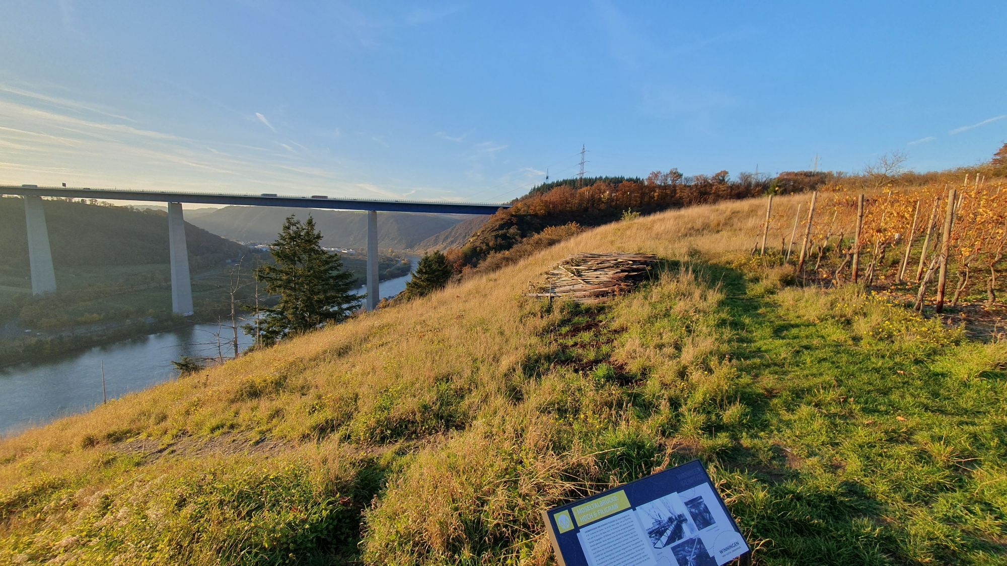
Winningen
(79 m)
Vas
236.2 km
In den Kachenmau
(75 m)
Koridor/teren
236.7 km
Katholische Kirche Winningen
(73 m)
Kraj čaščenja
236.7 km
Winningen (Mosel)
(71 m)
Železniška postaja
236.9 km
Lay
(79 m)
Vas
238.4 km
Grossheiligenhäuschen
(81 m)
Kraj čaščenja
240.2 km
Alt-St. Servatius
(81 m)
Kraj čaščenja
240.7 km
Güls
(78 m)
Soseska
240.8 km
Koblenz
(73 m)
Mesto
246.7 km
Altstadt
(72 m)
Soseska
247.4 km
Informacije o turneji

248 kilometers full of surprises, close to the water, sometimes amidst nature, sometimes urban and sometimes quite spectacular.

Tehnologija
2 / 6
Stanje
6 / 6
Pokrajina
5 / 6
Izkušnje
5 / 6
Najboljši letni čas
Jan
Feb
Mar
Apr
Maj
Jun
Jul
Avg
Sep
Okt
Nov
Dec
Skupna turneja
Zemljevid
Mosel cycle path (entire route): From Perl to Koblenz
težko
Kolesarjenje na dolge razdalje
247.91 km
Napaka
Zgodila se je napaka. Prosimo, poskusite znova.
Informacije o poti
Pot

Route character: Mostly on dedicated paths or bike lanes. Without bike lanes, partly on quiet streets as well as urban streets with a sometimes high traffic volume. Mostly asphalt surfaces, short sections of concrete paving stones or concrete slabs. 

Rail trail sections: Between Trier and Bullay, sections of the former "Mosel Railway" are used for several kilometers, but almost always in a hardly noticeable way, as the route is mostly dismantled or built over and did not require engineering structures. Sections:

approx. 6 km between Leiwen and Neumagen-Dhron approx. 2 km between Pünderich and Zell approx. 2 km between Andel and Bernkastel-Kues

The route in the bike network: The Mosel cycle path is one of 7 long-distance cycle routes in Rhineland-Palatinate and is part of route no. 5 "Saar-Mosel-Main" in the D network.

In the bike network, the Mosel cycle path is an important east-west connection, directly linked to many other regions:

Wasserbillig: Sauertal cycle path via Steinheim to Luxembourg/Echternach Konz: Saar cycle path to Saarbrücken Trier-Ehrang: Kylltal cycle path to Dahlem Trier-Ruwer: Ruwer-Hochwald cycle path to Hermeskeil Schweich: Wittlicher Senke cycle path to Wittlich Klüsserath: Salm cycle path to Dreis Neumagen-Dhron: Nahe-Hunsrück-Mosel cycle path via Morbach to Idar-Oberstein Bullay: Vulkan cycle route Eifel to Nürburgring Treis-Karden: Hunsrück-Mosel cycle path to Kastellaun Burgen: Schinderhannes-Untermosel cycle path to Kastellaun and Hahn airport Hatzenport: Maifeld cycle touring path to Mayen Koblenz: Rhine cycle path to Mainz/Basel and Cologne/Rotterdam

Source and further information: www.radwanderland.de

Primerno za družine

Da

Oprema

A smartphone to use the audio tour "Listening points on the Mosel cycle path": Get to know the Mosel during a listening pause. 40 listening stations between Perl and Koblenz encourage a closer look and repeatedly draw attention to surprising discoveries along the way. The listening tour app can be downloaded free of charge from the Apple App Store or Google Play.
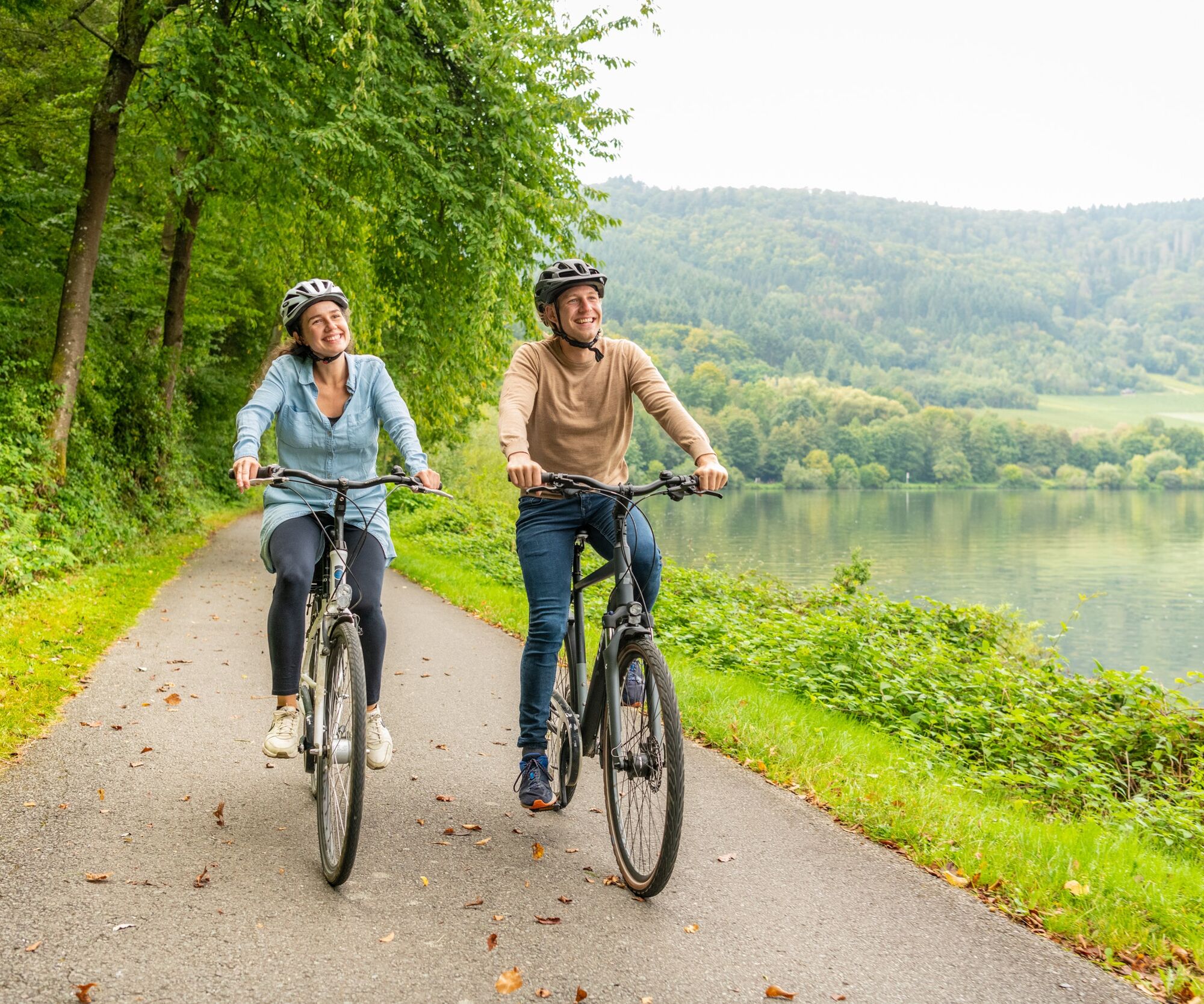
Don't forget the cycling tour book and a camera for snapshots.

Varnostna navodila

A list of currently closed route sections and detours, e.g., due to construction sites, can be found at www.radwanderland.de

Informacije o prihodu
Prihod

By train to Perl (start of the Mosel cycle path in the immediate vicinity of the station).

Departure by train from Koblenz (station about 2.5 km from the Mosel cycle path, but well signposted and easy to cycle).

Javni prevoz

Bike & train

Regular connection with Inter-City and regional trains on the route Koblenz - Cochem - Bullay (connection to Traben-Trarbach via the Mosel wine railway) - Wittlich - Trier. Via Trier main station, the connection leads to the places of the upper Mosel up to Perl or to Luxembourg as well as to the places on the right side of the Saar up to Saarbrücken.

Bicycle transport is possible free of charge on local trains in Rhineland-Palatinate and Saarland within the existing seat capacity from Monday to Friday from 9 am and all day on weekends and public holidays. On long-distance trains, you can take your bike for an extra charge, with a seat reservation required. Further information: www.bahn.de

Bike & bus 

From April to the end of October, so-called bike buses run, special bus lines with bicycle transport.

More information, timetables, and seat reservations at www.radbusse.de

Bike & ship

From mid-April to October, numerous passenger ships operate daily on the Mosel, which you can use for a round trip or continuation with the bike. Almost every place has a ship landing stage. The exact departure times are posted on notice boards of the shipping companies on site. In addition, a total of seven ferries are available to cross to the other side of the river by bike.

Parkirišče

To cycle the entire Mosel cycle path, parking lots in Trier or Koblenz are recommended. Then travel by train to the starting point. Those who park in Trier return by train from Koblenz at the end of the tour.

Further information and advice on suitable parking: Mosellandtouristik GmbH, phone: 06531/97330; info@mosellandtouristik.de

Dodatne informacije in nasveti
Stopnja težavnosti

2

Dodatne informacije

Mosellandtouristik GmbH
Kordelweg 1
54470 Bernkastel-Kues
Phone: 06531/97330
info@mosellandtouristik.de
www.visitmosel.de

We are happy to receive your rating of the route on Outdooractive. This gives us valuable feedback and helps other guests plan their trips. Thank you! 

Suggestions, peculiarities, or defects? Please feel free to report them by mail to: radwege@lbm.rlp.de

Nasveti

Stop by one of the many rustic seasonal wine taverns and come into conversation with our winegrowers.

Vrednotenja
4.0
5
(0)
4
(1)
3
(0)
2
(0)
1
(0)
1 Komentar:
Avatar iz Paul Bricteux
Paul Bricteux
29. දෙසැ. 2025
Entre Perl et Bernkastel : 3 jours super soleil et paysages malgré le froid. 4eme jour temps glacial et gris : beaucoup de voies cyclistes le long des grands routes jusqu’à Cochem. .
Koristno (0) |
Poročilo
Napaka
Zgodila se je napaka. Prosimo, poskusite znova.
Napišite pregled

Mnenja pomagajo drugim uporabnikom pri izbiri naslednje pustolovščine. Ocenite samo izlet, ne pa tudi vremena ali prigrizka.

Izberite eno od zvezdic, da ocenite ogled
Slaba turneja
Šibka turneja
Povprečna turneja
Dobra tura
Odlična tura
bergfex logoPridobite vpogled Vedno v živo na mestu z več kot 9.500 spletnimi kamerami. bergfex Kot uporabnik Pro si lahko zdaj ogledate ustrezne spletne kamere za številne izlete v aplikaciji izleti iz. Tako si lahko neposredno ogledate trenutne razmere.
Pohodništvo in sledenje

Pohodništvo in sledenje

prenos za iOSprenos za Android
Pohodništvo in sledenje
Zaradi več kot 550.000 predlogov izletov, podrobnih zemljevidov in intuitivnega načrtovanja poti je aplikacija obvezna oprema za vse ljubitelje narave.
bergfex