







Wolfstein - Königsbach Trail
The Königsbachweg is a moderately challenging hiking trail over forest roads, paths, and forest tracks, partly running on the Pfälzer Höhenweg.
Varied, it leads from the pretty town of Wolfstein into the...
The Königsbachweg is a moderately challenging hiking trail over forest roads, paths, and forest tracks, partly running on the Pfälzer Höhenweg.
Varied, it leads from the pretty town of Wolfstein into the Königsberg, opening wonderful views of the Pfälzer Bergland again and again.
The two castles, many narrow paths, bizarre scree fields, small caves beside the path, a small lake, open meadows as well as deciduous and coniferous forests offer the hiker and especially children a varied hiking experience.
With a bit of luck, one might see the introduced mouflon sheep, possibly eagle owls, wildcats, and the black woodpecker. Refreshments are possible at the Reckweilerhof (after about 7 km) or in Wolfstein. From the Reckweilerhof, the return journey to Wolfstein can also be made by train.
UFFBASSE! - Campaign for respectful coexistence in nature
- Always behave considerately, friendly, and responsibly towards everyone you meet on the way.
- Respect nature, do not destroy plants, and always stay on the paths.
- Remember a garbage bag for the way and take your rubbish back home.
- Please always keep your dog on a leash. Other visitors and animals will thank you.
- Observe all path closures for your own safety. Even on weekends.
- Park only in designated parking areas. Leave space for rescue routes and agricultural machinery.
- Please give priority to agricultural and forestry traffic.

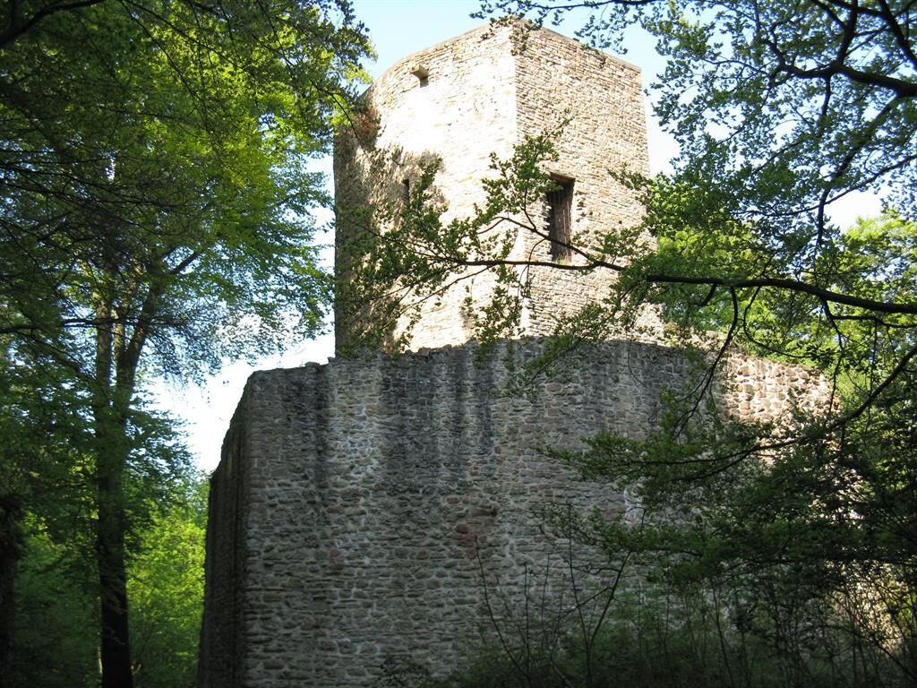
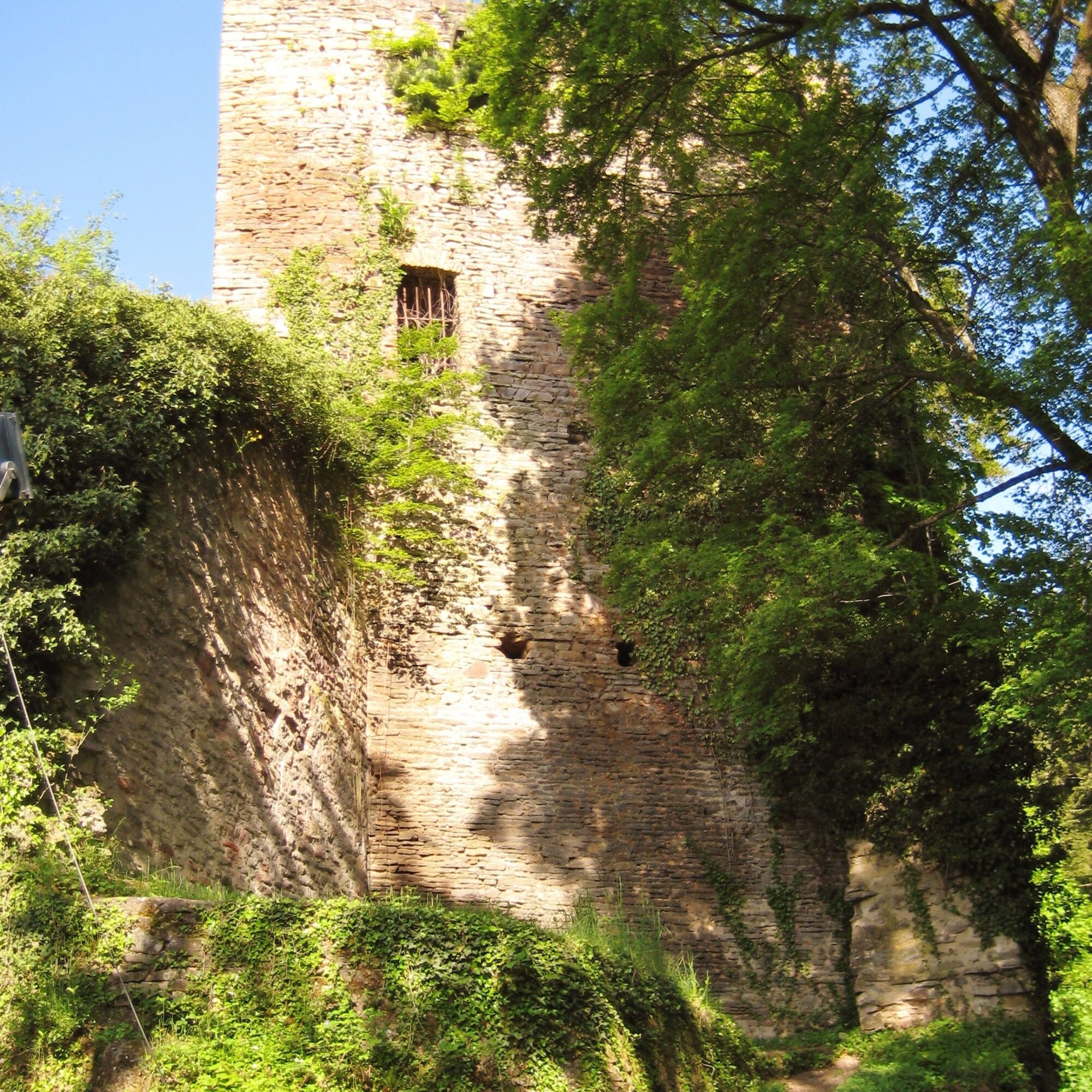
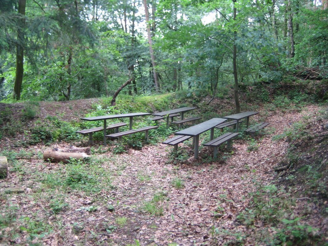
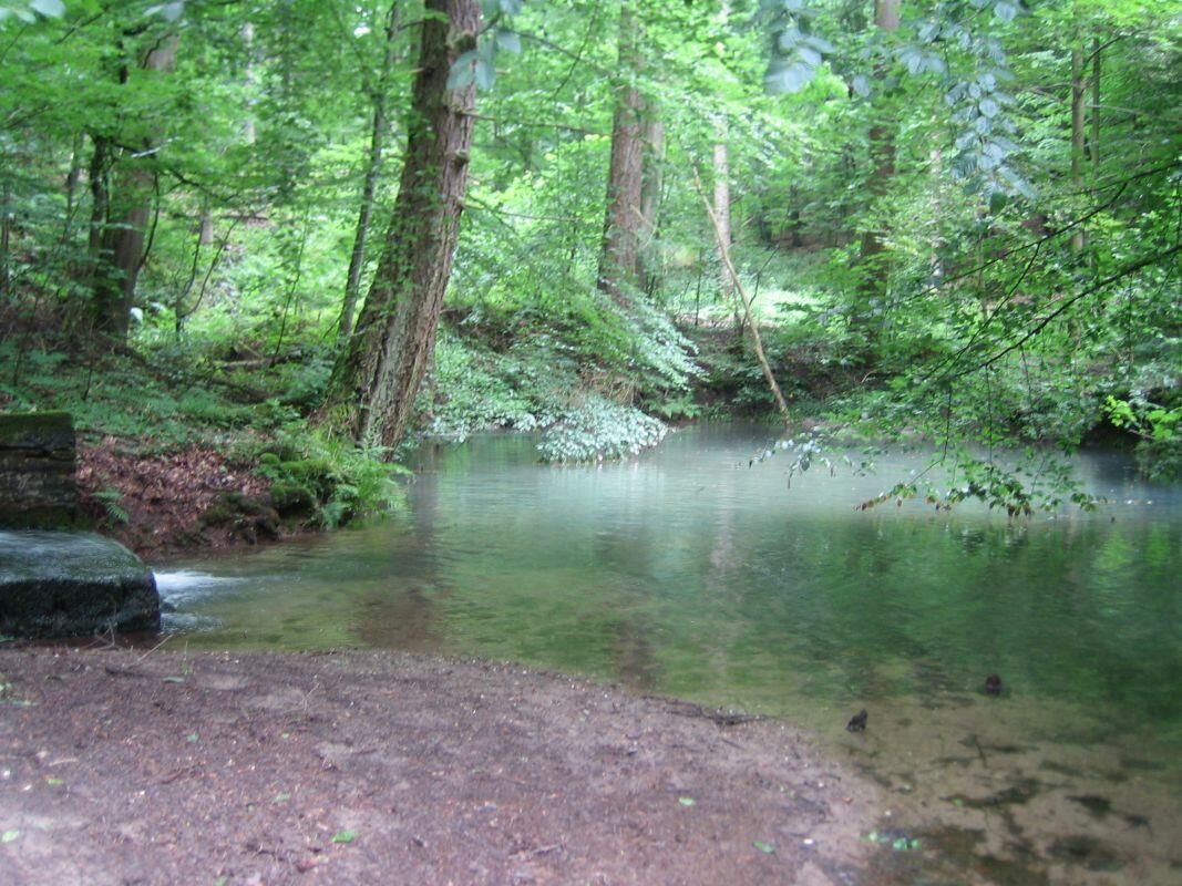

Wolfstein (Rathausplatz) - to the north, follow the marking "Pfälzer Höhenweg" - street "Am Ring" - turn left into Schloßgasse - turn right to Neu-Wolfstein Castle - continue on the Pfälzer Höhenweg - Alt-Wolfstein Castle - continue on the marking "3 red diamonds on yellow background" (also Pfälzer Höhenweg) - Dümmler Hut - forest pond "Blaue Halde" - continue on the marking "3 red diamonds on yellow background" to L368 - turn right to the crossroads at Reckweilerhof - turn left to the Hotel Restaurant "Reckweilerhof" at B270 - cross B270 westward again - go up about 30 m on L368 (towards Aschbach) - after about 100 m keep left - field path - forest edge - keep left into Oberwald - Pfingstweide - Alt-Wolfstein Castle - from here parallel again to the "Pfälzer Höhenweg" - Neu-Wolfstein Castle - Wolfstein (Schloßgasse) - street "Am Ring" - Wolfstein (Rathausplatz)
Detailed route description
We follow the marking "Pfälzer Höhenweg" from the Rathausplatz in Wolfstein, past the Neu-Wolfstein castle ruins to the Alt-Wolfstein castle ruins. Here begins the marked route "3 red diamonds on yellow background".
We follow the marking (parallel to the "Pfälzer Höhenweg") via the Dümmler Hut to the small forest pond "Blaue Halde", a romantic place inviting to linger at the rest areas.
We now leave the marking "Pfälzer Höhenweg", turn right (to the north), downhill through the forest and open spaces until we reach the Reckweilerhof.
Here there is the possibility to stop for refreshments at the "Hotel Reckweilerhof" (please observe opening hours!).
After our refreshment, we walk back a little piece and turn left uphill past a farm, again through beautiful meadows and forest passages up to the Alt-Wolfstein castle ruins.
The last section of the hike takes us downhill again, along the "Pfälzer Höhenweg" past the Neu-Wolfstein castle ruins back to the Rathausplatz in Wolfstein.
Da
Da
For our hiking tours, we recommend the following equipment as standard:
- Sturdy footwear
- Weather-appropriate clothing
- Sun and rain protection
- Sufficient supply of food and drinks, as there are not always places to stop for food or shops open.
- Even though the paths are very well marked throughout, it is recommended for safety reasons to always carry a suitable
hiking map, so that you can quickly find a safe area, e.g., in the event of a thunderstorm or emergency.
- Hiking poles recommended.
General information:
Especially in autumn, be aware that fallen leaves on the ground can conceal unevenness, roots, stones, or holes in the path. After thunderstorms or heavy rain, trees can still fall or branches can drop afterward. On natural paths, muddy and slippery sections can occur under adverse weather conditions. Not all rocks or cliffs are secured with ropes or railings. Surefootedness is required in some places. You must expect such path impairments when hiking. If you think certain path sections are not walkable for you, you should avoid them.
NOTE:
We strive to announce all closures due to forestry work or hunting societies on this platform. Still, there are situations where hiking trails are closed and we may not have been informed. Should you unexpectedly encounter a path closure or detour, please observe the instructions for your own safety.
Surefootedness, partial fear of heights required
From Kaiserslautern via B270 towards Lauterecken
(Note: Due to construction work, the B270 is closed near Otterbach and Hirschhorn until summer 2020) Large-scale detours are signposted
From the north via B420 to Lauterecken and then via B270 to Wolfstein.
Wolfstein is also easily accessible by bicycle via the Lautertal cycle path.
With the Lautertalbahn from Kaiserslautern hourly to Wolfstein or Reckweilerhof
Information about timetable:
The town hall square is about a 5-minute walk from Wolfstein station
There are free parking spaces in the town center
Hiking map 12 circular hiking routes around the town of Wolfstein
Wolfstein Town Hall:
Phone: 06304/214
Internet: http://wolfstein.de/
E-mail: rathaus@wolfstein.de
or:
Wolfstein Campsite: https://www.campingwolfstein.de/de/index.php
Tobacco/Lotto Götz: Am Ring 16, 67752 Wolfstein
or:
Tourist Information Verbandsgemeinde Lauterecken-Wolfstein
Schulstraße 6a, 67742 Lauterecken
Phone: 06382/7910
Internet: www.vg-lw.de
E-mail: info@vg-lw.de
Hiking map available at VG Lauterecken-Wolfstein
Hiking region on Facebook: www.facebook.com/groups/wanderregion.wolfstein
Tourist Information Pfälzer Bergland
"Hiking in the Pfälzer Bergland" - touristinformation@kv-kus.de
Wolfstein with its winding alleys and museums www.wolfstein.de
as well as the visitor limestone mine http://www.kalkbergwerk.com/
Priljubljeni izleti v okolici
-
Teufelstour - Olsbrücken
težkoPohodništvo 15.1 km -
5.0
Glan-Blies cycle path | Waldmohr - Staudernheim
srednjaKolesarjenje na dolge razdalje 74.9 km -
Pfälzer Höhenweg complete route
težkoPohodništvo v daljavo 115.8 km -
Katzweiler - mill circular hiking trail
svetlobaPohodništvo 13.1 km -
Katzweiler - Humberg route (circular)
težkoPohodništvo 13.0 km -
Otterbach - Waldforscher path in Himmelreich
svetlobaTematska pot 2.59 km -
Wolfstein - summit trail to Königsberg
težkoTematska pot 8.11 km -
Lauter Valley cycle path
svetlobaKolesarjenje 36.1 km -
5.0
Potzberg Hiking Trail
srednjaPohodništvo 14.7 km -
Veldenz Hiking Trail - Entire route (Burg Lichtenberg - Veldenz Castle in Lauterecken) - Leading Quality Trail - Best of Europe
težkoPohodništvo 62.0 km
Pohodništvo in sledenje


Ne zamudite ponudb in navdiha za naslednje počitnice
Vaš e-poštni naslov je bil dodan na poštni seznam.





