


Wolfstein - summit trail to Königsberg
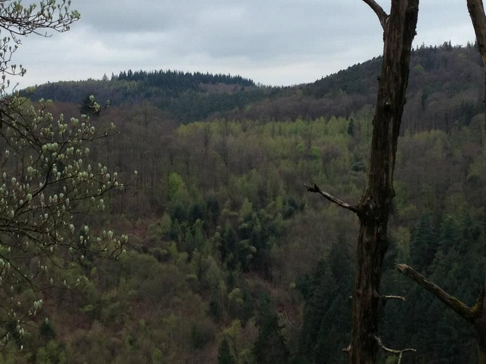
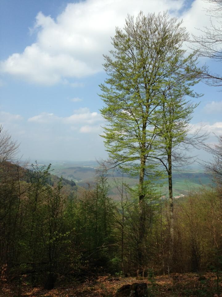
The hike shows the Königsberg from its most beautiful side.
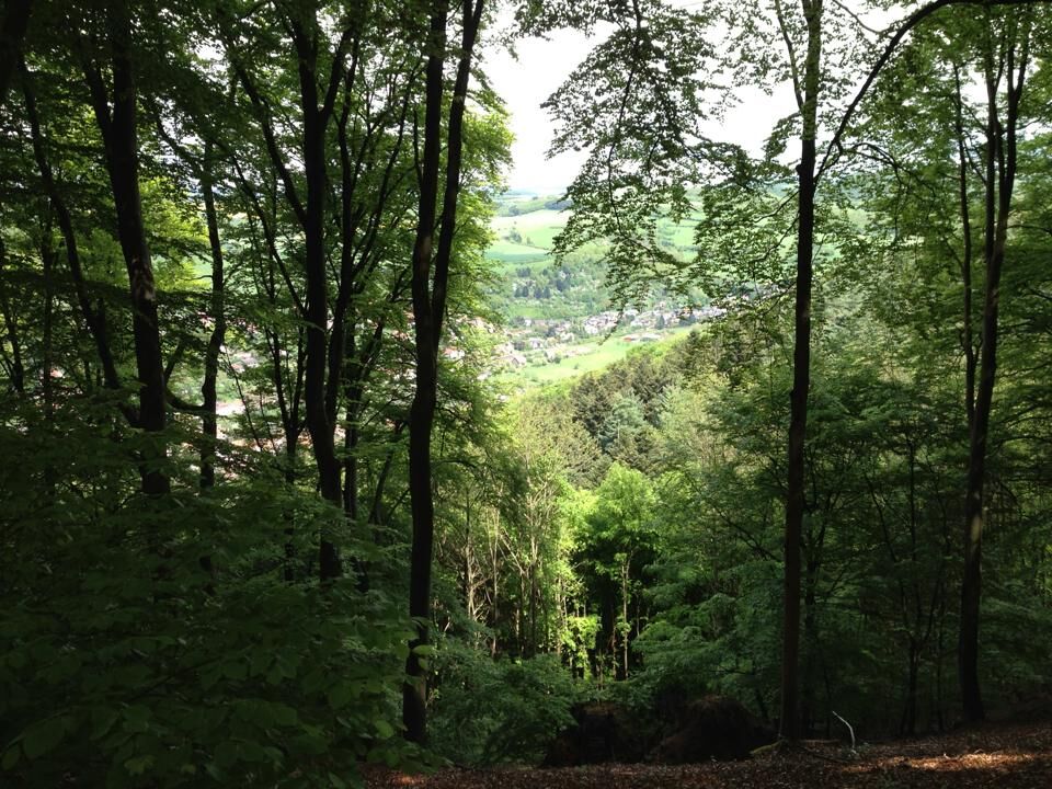
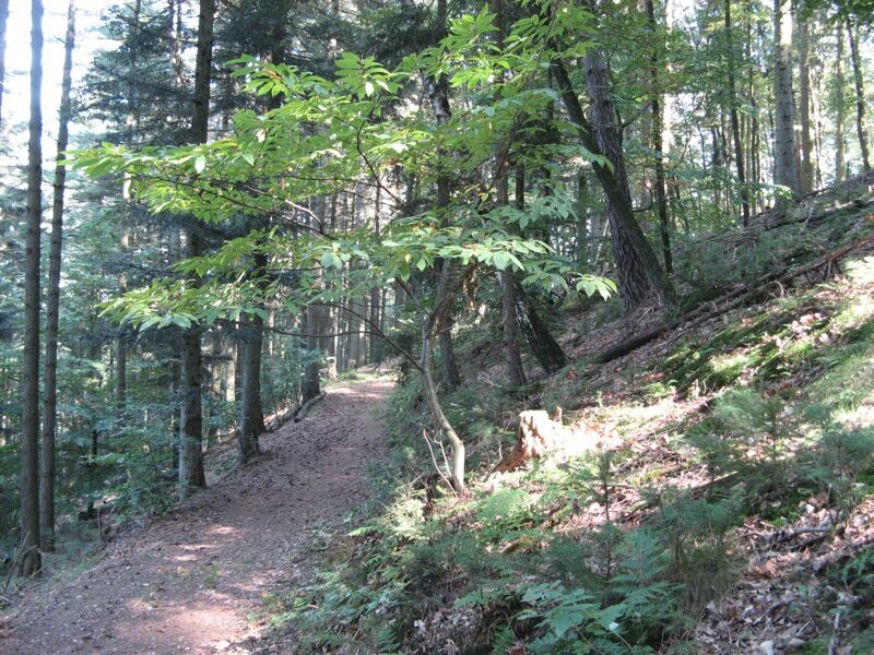
Mainly over paths along the steep slope above the gorge.
Encounters with red deer in this protected forest are not uncommon.
The ascent is quite...
The hike shows the Königsberg from its most beautiful side.
Mainly over paths along the steep slope above the gorge.
Encounters with red deer in this protected forest are not uncommon.
The ascent is quite demanding and requires some stamina.
On the way back there is the Wolfstein Echo down to the gorge at a projecting rock.
Be careful! - Campaign for respectful coexistence in nature
- Always behave considerately, friendly and respectfully towards everyone you meet on the way.
- Pay attention to nature, do not destroy plants and always stay on the paths.
- Take a rubbish bag with you and take your waste back home.
- Always keep your dog on a leash. Other visitors and animals will thank you.
- For your own safety, observe all path closures, even on weekends.
- Park only in designated parking lots. Leave space for emergency routes and agricultural machines.
- Give priority to agricultural and forestry traffic.

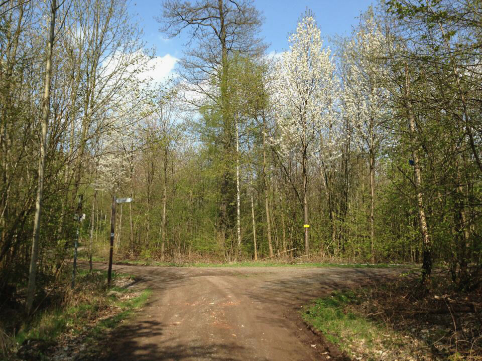
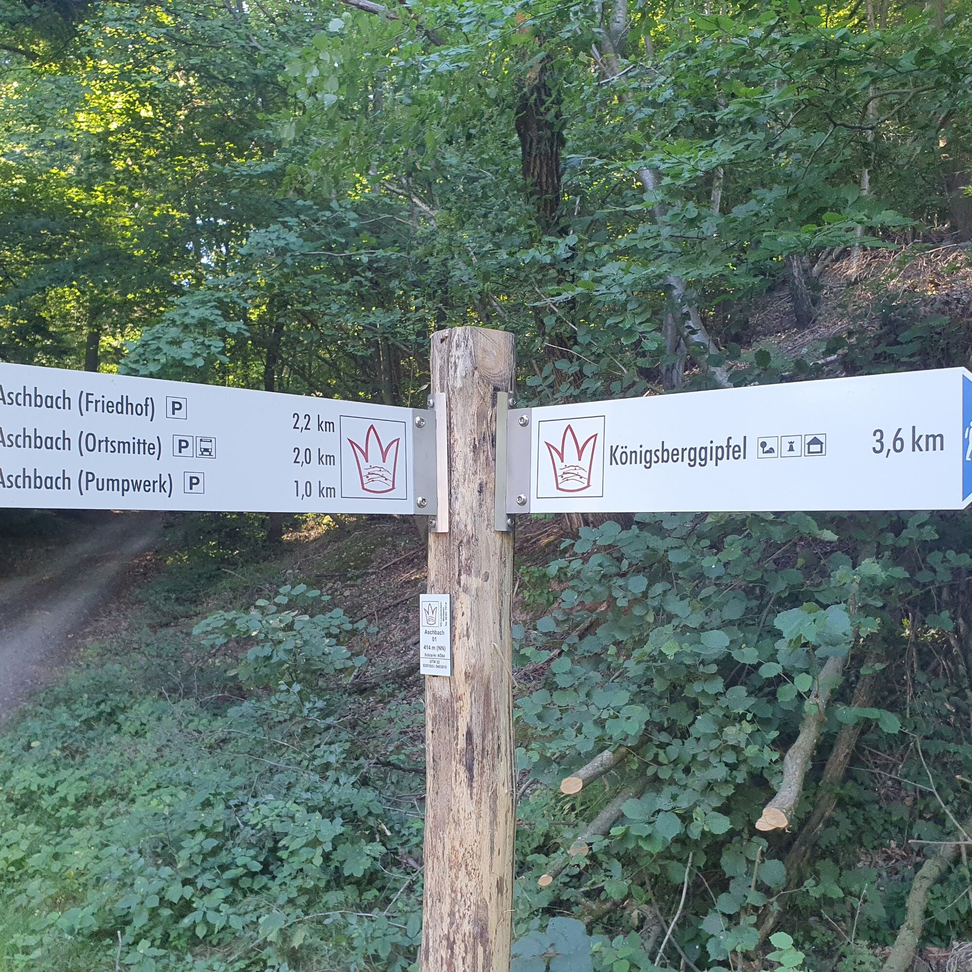
Wolfstein (town hall square) or parking lot on the street "Im Tauchental" - go southwest up the street "Im Tauchental" - after a hut (right) turn left to the Shooting House - after the Shooting House turn left into the path in a right curve (parallel to "Maikurweg" - "3 red diamonds on blue background") - about 300 m - at the next intersection turn right (the "Maikurweg" now leaves us!) - Totenkopf - we now meet the "Maikurweg" again but turn sharply right - Dreimärker - former Roman road further up - Königsberg (shelter (summit) hut) - always keep right towards Kreuzfeld (slightly ascending) - briefly right uphill (approx. 80 m) - left down into the path - Shooting House - turn right Wolfstein (street "Im Tauchental") - parking lot or Wolfstein (town hall square)
Detailed route description
From the town hall in Wolfstein, or the school parking lot in Tauchental, go uphill past the Shooting House.
In a right curve, a path turns sharply left (part of the Maikurweg).
Follow this until another path branches right, leading to Totenkopf.
At Totenkopf, continue hiking right on a forest path.
After about 100 m before a left curve, an idyllic steeply ascending path leads left up to Dreimärker.
Here, a wide forest path (former Roman road) is crossed.
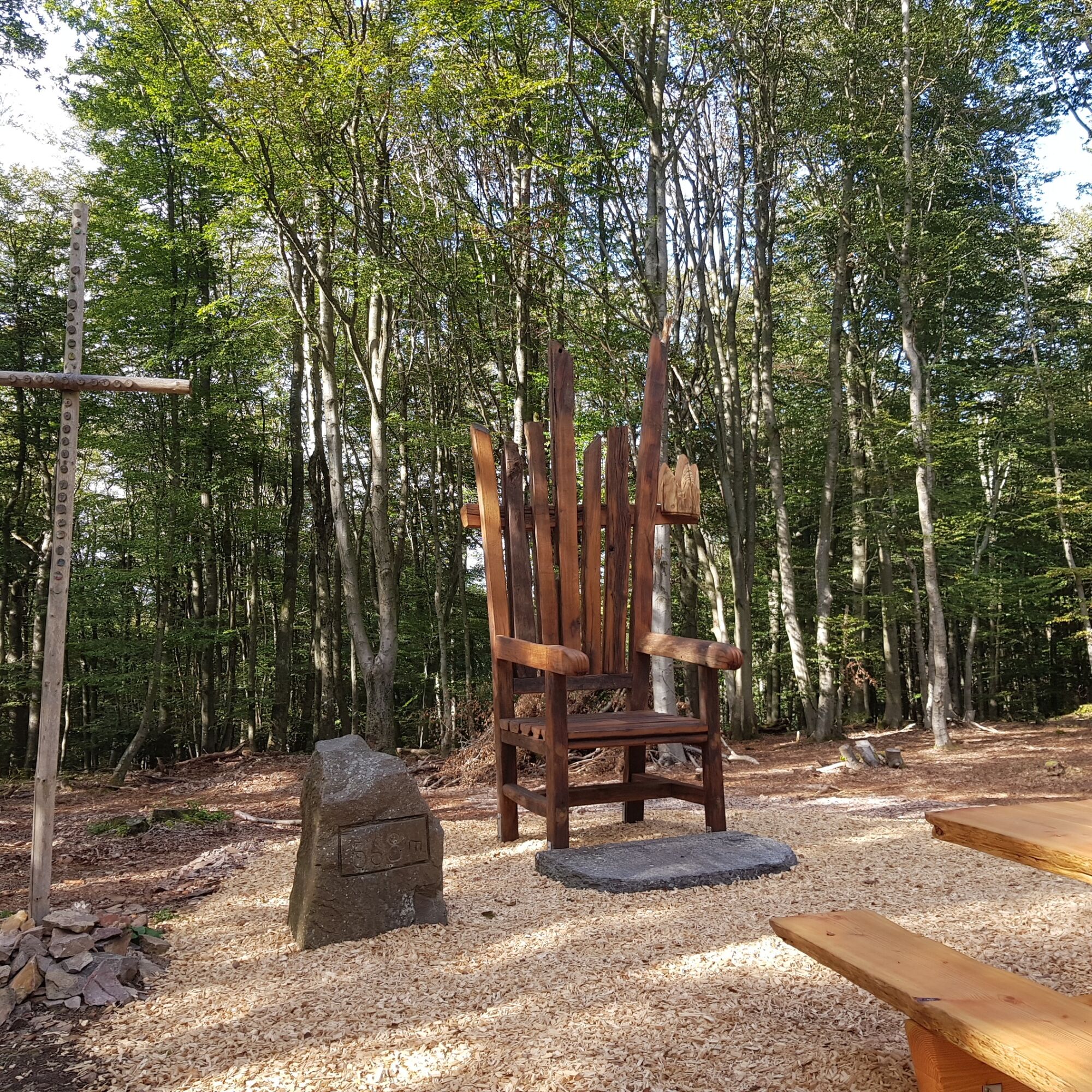
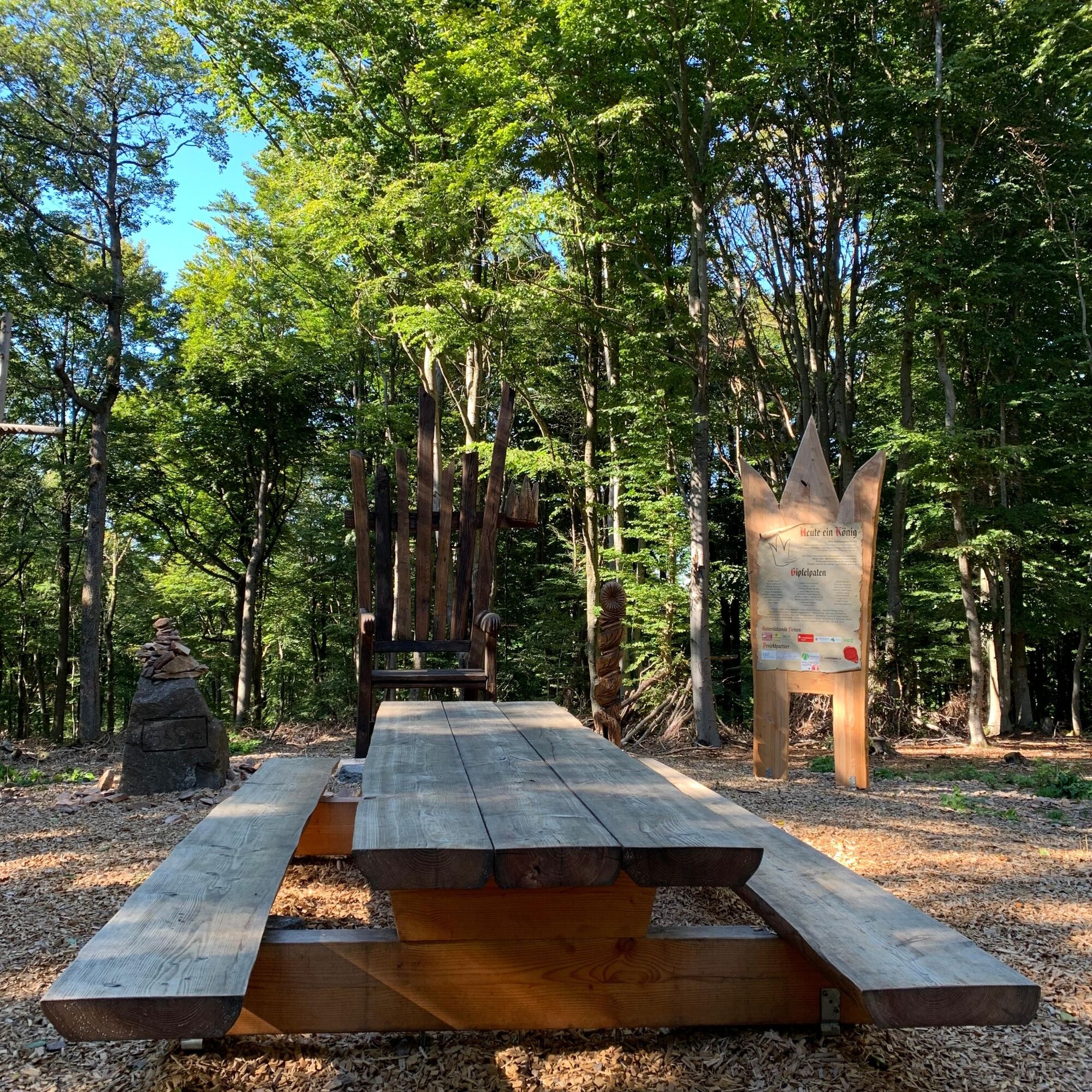
The next station is the summit hut on the Königsberg. Halfway done.
Initially downhill on the left, past the hut, keep always right until you reach Kreuzfeld after a slightly ascending section.
We go briefly uphill to the right. A path turns left downhill through the slope.
Arriving on an almost level forest path (this leads back to Totenkopf), continue right.
After about 200 m, a similar path leads downhill. Follow this.
It becomes wider in a left curve and flows into a forest path leading a bit steeper downhill to the Shooting House and back to the starting point at the parking lot in Tauchental or the town hall square in Waldmohr.
Da
Da
For our hiking routes, we recommend the following equipment as standard:
- Sturdy footwear
- Weather-appropriate clothing
- Sun and rain protection
- Sufficient supply of food and drinks, as there are not always places to eat or shop and they may not be open.
- Although paths are very well marked throughout, it is advisable for safety reasons to always carry a suitable
hiking map, so that you can quickly reach a safe area, for example in case of a thunderstorm or emergency.
- Hiking poles recommended.
Generally applies:
Especially in autumn, pay attention to fallen leaves covering unevenness, roots, stones, or holes in the path. After thunderstorms or storms, trees may still fall or branches drop. Under adverse weather conditions, natural paths can become muddy and slippery. Not all rocks or cliffs are secured with ropes or railings. Surefootedness is sometimes required. Expect such impairments when hiking. If you think certain sections are not passable for you, you should avoid them.
NOTE:
We strive to announce all closures caused by forestry or hunting on this platform. Nevertheless, there might be situations where trails are closed and we were not informed. If you unexpectedly encounter a closure or detour, please follow the safety instructions.
The alternative paths between Waldturnplatz and Shooting House are slippery.
B 270 - towards Lauterecken, to Wolfstein
Bus and train
Coordinates: Longitude 7° 36' 20'' / Latitude 49° 35' 00''
Hiking map 12 circular hiking routes around the town of Wolfstein
Town hall Wolfstein:
Tel.: 06304/214
Internet: http://wolfstein.de/
E-Mail: rathaus@wolfstein.de
or:
Camping site Wolfstein: https://www.campingwolfstein.de/de/index.php
Tobacco/Lotto Götz: Am Ring 16, 67752 Wolfstein
or:
Tourist Information Verbandsgemeinde Lauterecken-Wolfstein
Schulstraße 6a, 67742 Lauterecken
Tel.: 06382/7910
Internet: www.vg-lw.de
E-Mail: info@vg-lw.de
Hiking map at VG Lauterecken-Wolfstein
Hiking region on Facebook: www.facebook.com/groups/wanderregion.wolfstein
Tourist Information Palatinate Highlands
"Hiking in the Palatinate Highlands" - touristinformation@kv-kus.de
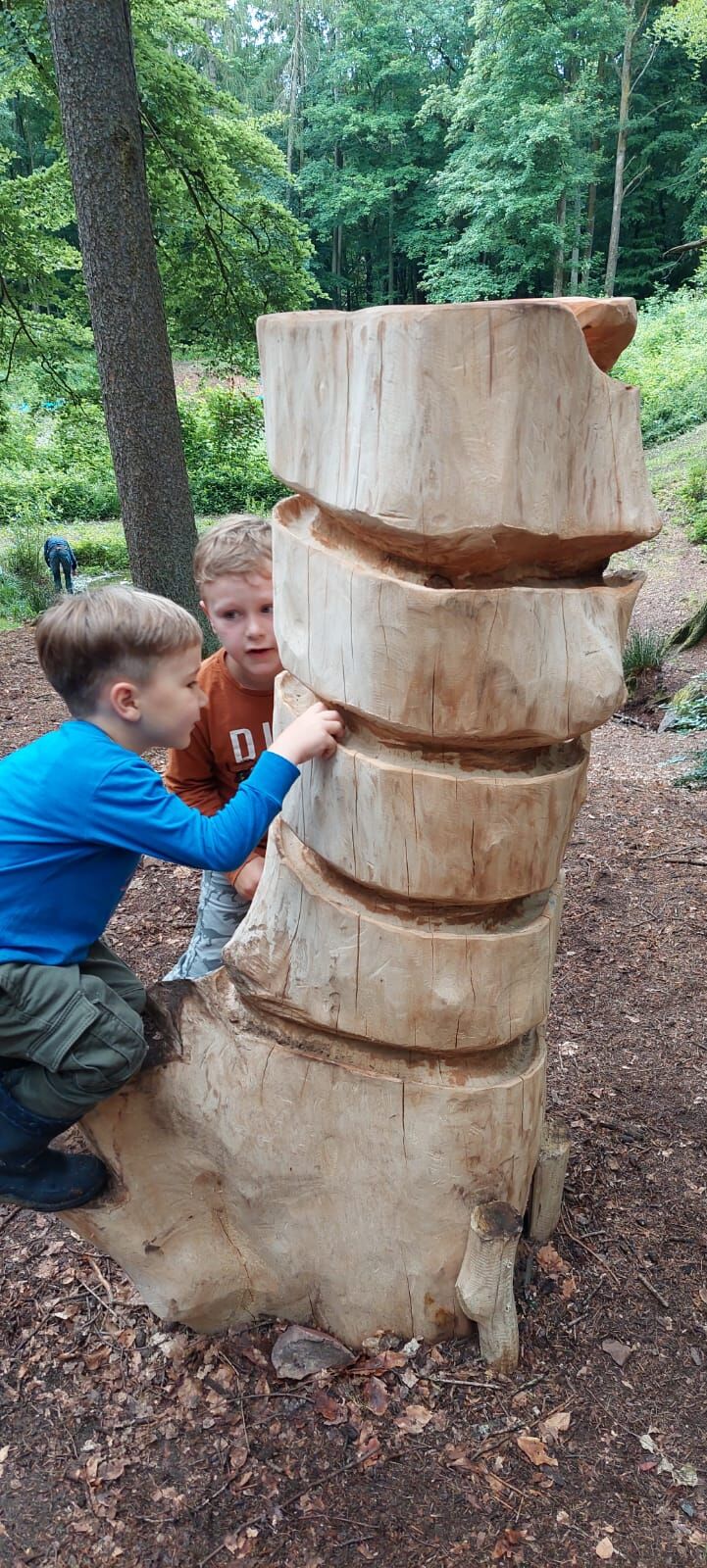
Entry in the summit book. Snack on the summit.
Visit the limestone mine from March to November
Marble track
Priljubljeni izleti v okolici
-
Teufelstour - Olsbrücken
težkoPohodništvo 15.1 km -
5.0
Glan-Blies cycle path | Waldmohr - Staudernheim
srednjaKolesarjenje na dolge razdalje 74.9 km -
Pfälzer Höhenweg complete route
težkoPohodništvo v daljavo 115.8 km -
Katzweiler - mill circular hiking trail
svetlobaPohodništvo 13.1 km -
Katzweiler - Humberg-Tour (Rundweg)
težkoPohodništvo 13.0 km -
Otterbach - Waldforscher path in Himmelreich
svetlobaTematska pot 2.59 km -
5.0
Potzberg Hiking Trail
srednjaPohodništvo 14.7 km -
Lauter Valley cycle path
svetlobaKolesarjenje 36.1 km -
Glan-Blies-Radweg | Familientour »Störche,Kirchen & Draisinen«
svetlobaKolesarjenje 32.4 km -
Veldenz Hiking Trail - Entire route (Burg Lichtenberg - Veldenz Castle in Lauterecken) - Leading Quality Trail - Best of Europe
težkoPohodništvo 62.0 km

Pohodništvo in sledenje


Ne zamudite ponudb in navdiha za naslednje počitnice
Vaš e-poštni naslov je bil dodan na poštni seznam.