






Remigius hiking route - Stage 3 (Bosenbach - Selberg or Wolfstein)
The 3rd stage of 17.6 km length on the 46 km long quality hiking trail in the heart of the Palatinate Highlands.
(Additional 7.5 km via the "Palatinate Heights Trail" or 4.5 km via the "White Dot" marking...
The 3rd stage of 17.6 km length on the 46 km long quality hiking trail in the heart of the Palatinate Highlands.
(Additional 7.5 km via the "Palatinate Heights Trail" or 4.5 km via the "White Dot" marking to Wolfstein)
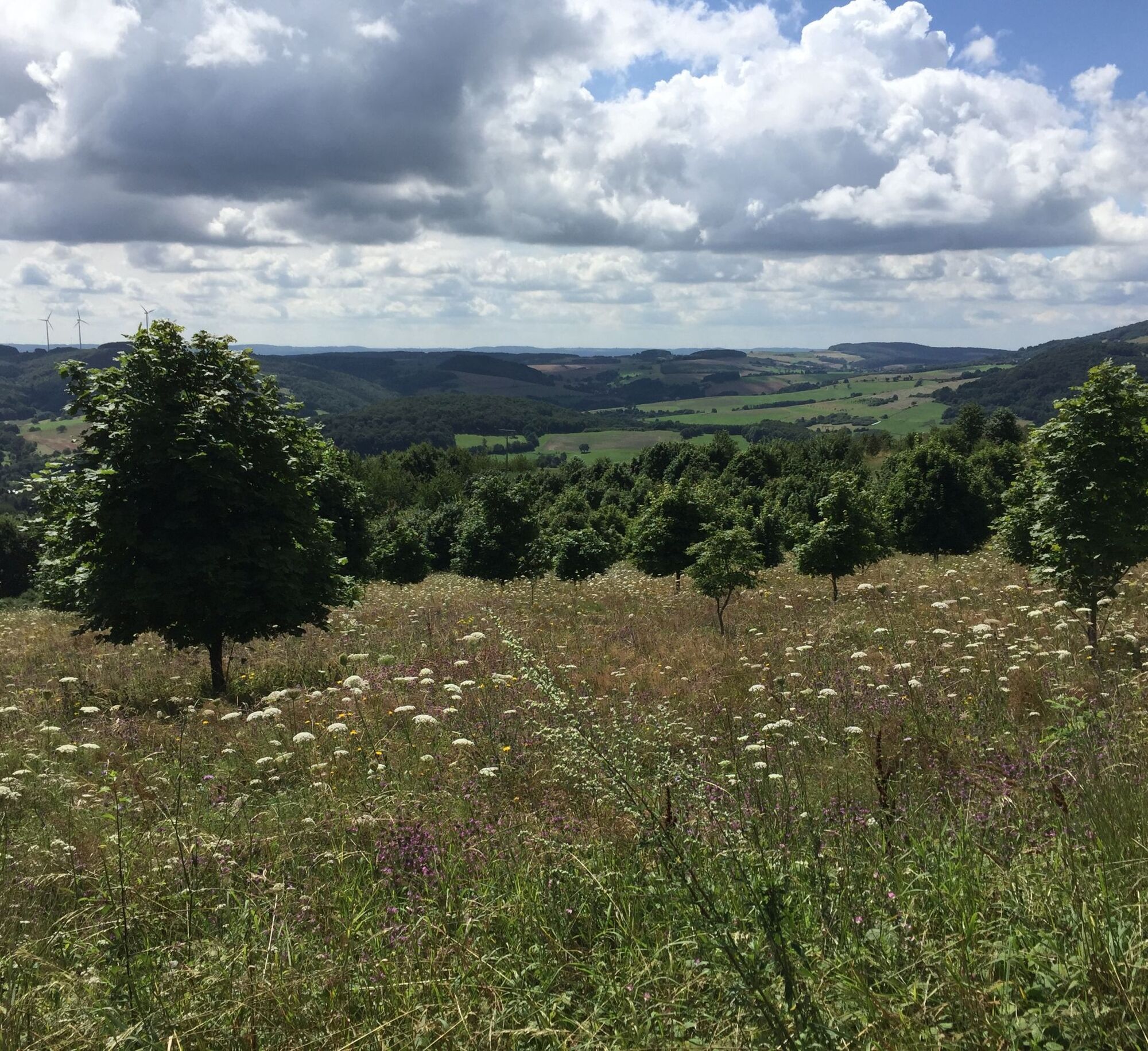
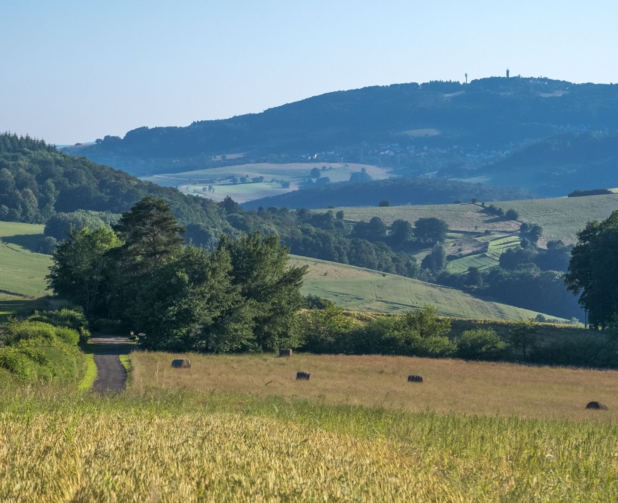
The Remigius hiking route leads through the hilly landscape of the Palatinate Highlands, lined with magnificent panoramic views into the Hunsrück and the Palatinate.
Romantically situated benches along the way invite to linger and marvel.
There is the possibility to take refreshment breaks along the route.
UFFBASSE! - Campaign for respectful coexistence in nature
- Always behave thoughtfully, friendly, and considerately towards all people you meet along the way.
- Respect nature, do not destroy plants, and always stay on the paths.
- Remember to bring a rubbish bag for the way and take your waste back home.
- Please always keep your dog on a leash. Other visitors and animals will thank you.
- For your own safety, observe all trail closures. Even on weekends.
- Park only in designated parking areas. Leave space for emergency routes and agricultural vehicles.
- Give priority to agricultural and forestry traffic.

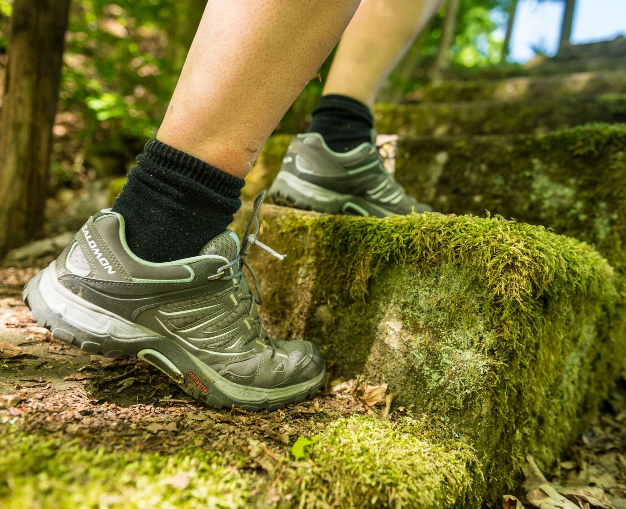
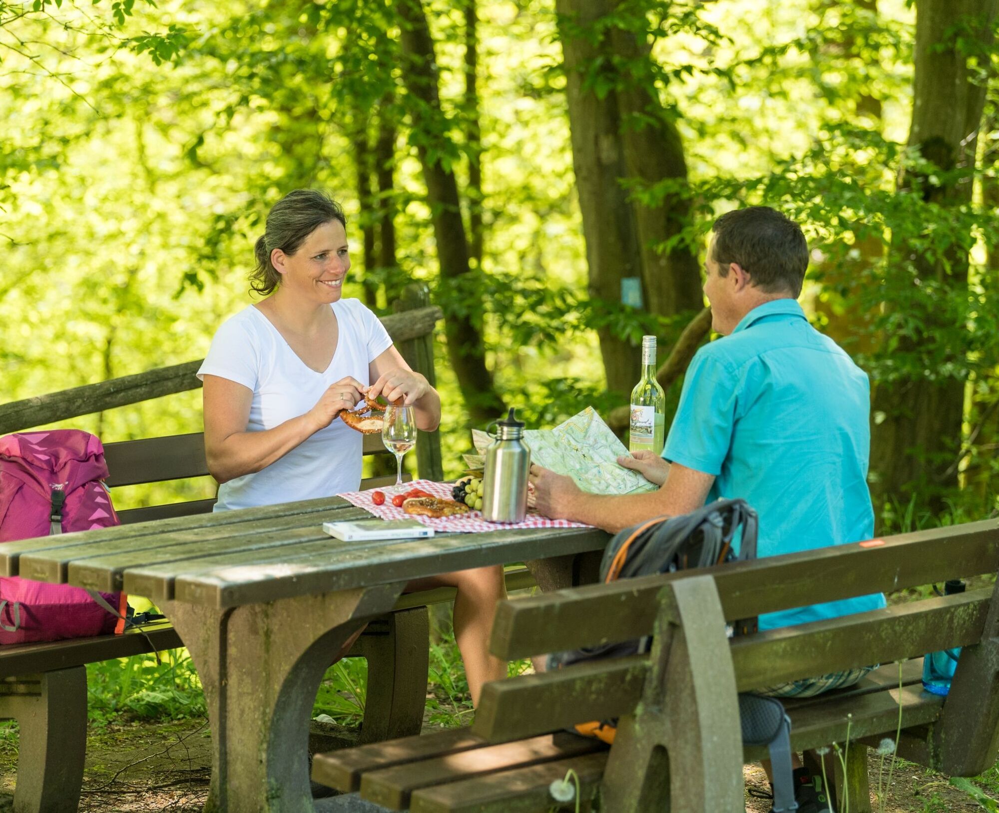

At the Bosenbach sports ground, we follow the yellow access signposting and after a few hundred meters reach the Remigius hiking route.
On the slope of Trautmannsberg, the path goes repeatedly uphill and downhill towards Eßweiler and Schneeweiderhof.
Those who follow the first access path to Eßweiler come after a few meters to the motorhome parking area with the Kneipp basin. A relief for tired feet and a good opportunity to take a break.
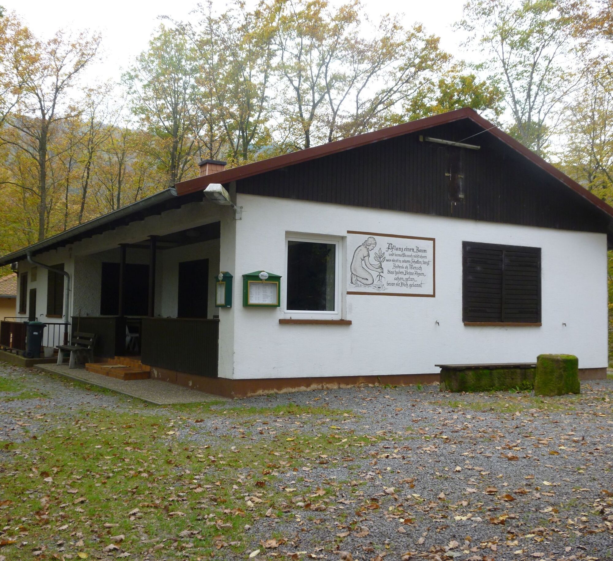
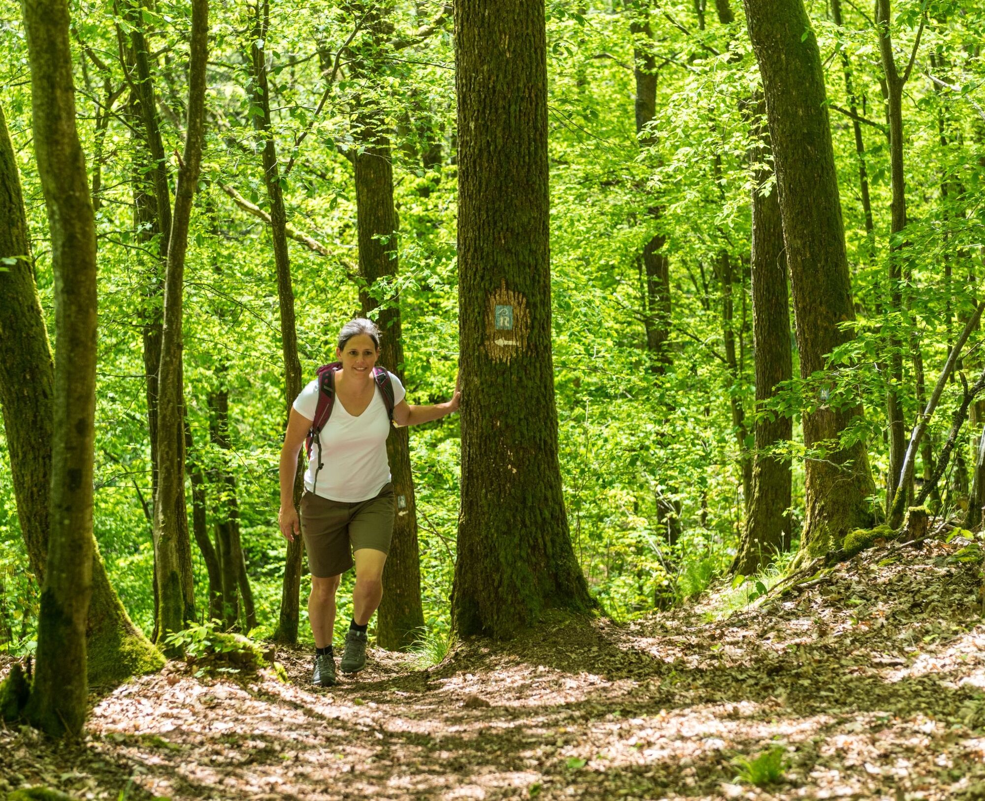
Through narrow paths it goes through the forest – here you can really hear your own footsteps, the wind, and the birds, but nothing else. We descend into the Talbachtal and soon reach the Landscheid Hut (open daily except Tuesdays), which invites you to a well-deserved pause.
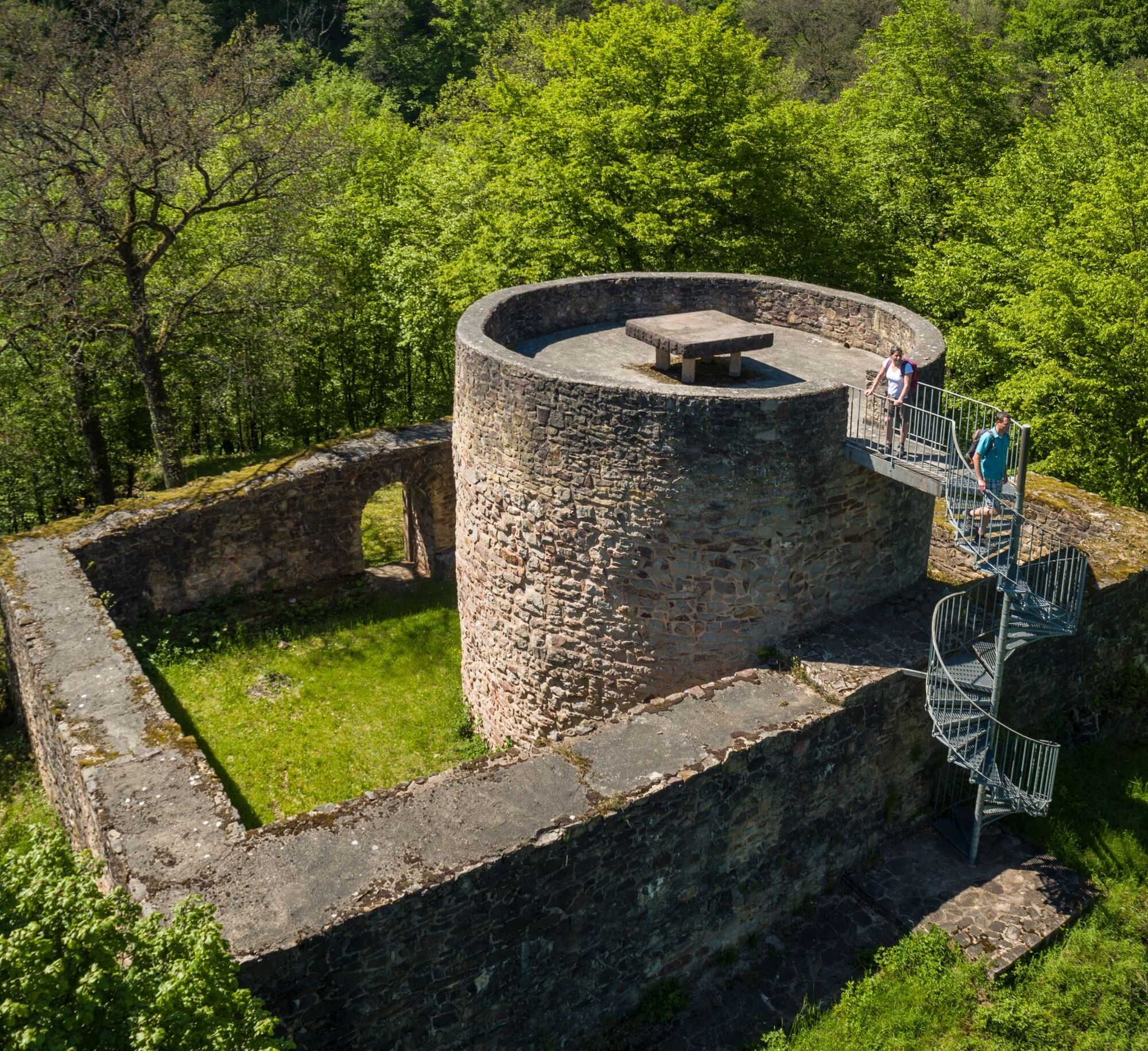
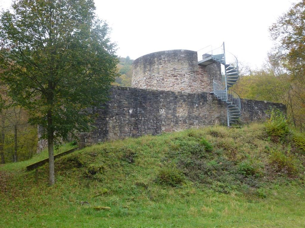
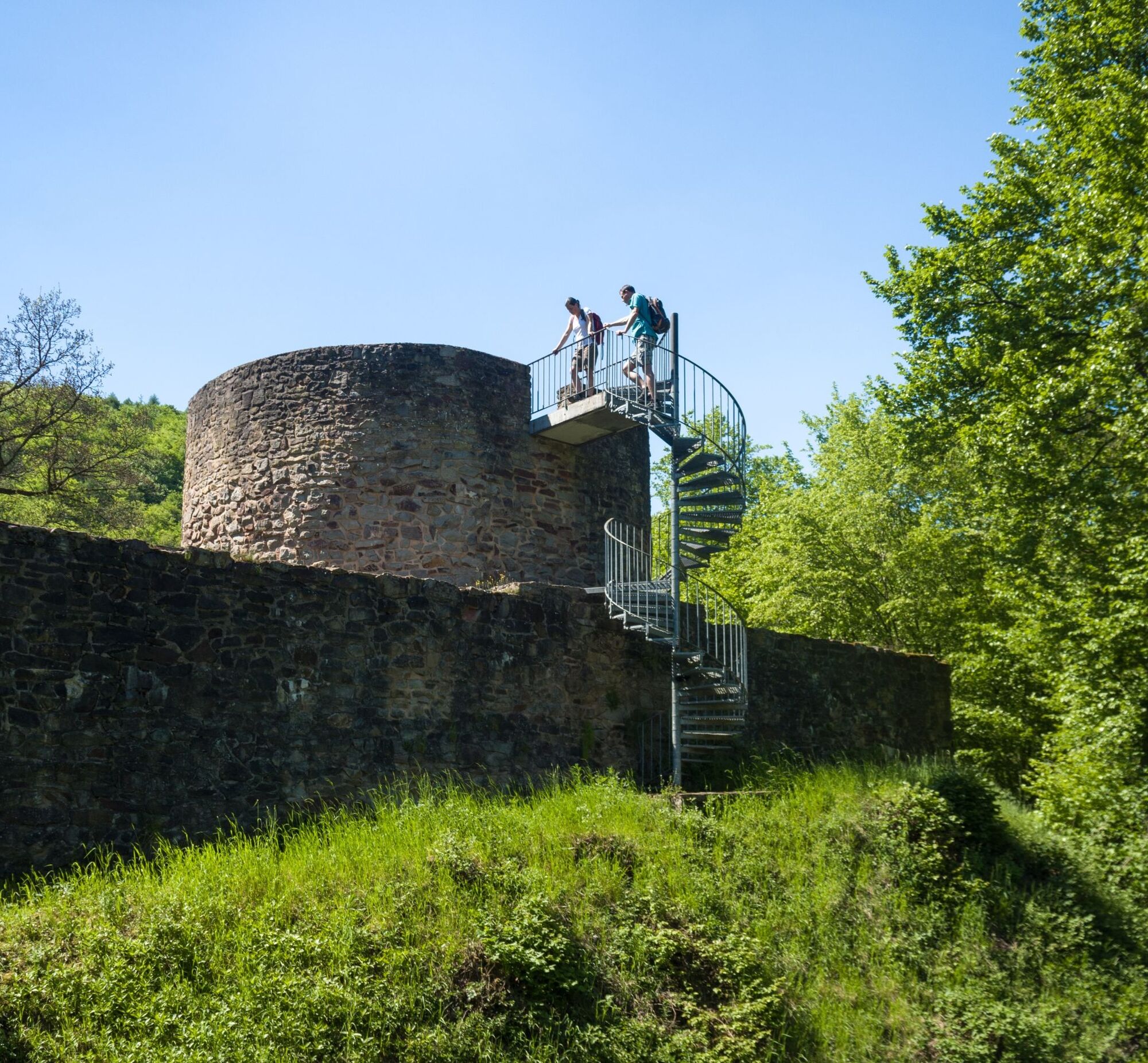
From the Landscheid Hut, it is not far to the ruin of the Sprengelburg. Originally built in the 13th century at the narrowest point of the valley, the walls and the round bergfried (main tower) were rebuilt in the 20th century from stones found during excavations. Striking are the giant sequoia trees at the forest edge of Eßweiler. Planted many years ago by the local community, they have now grown into stately and beautiful solitary trees.
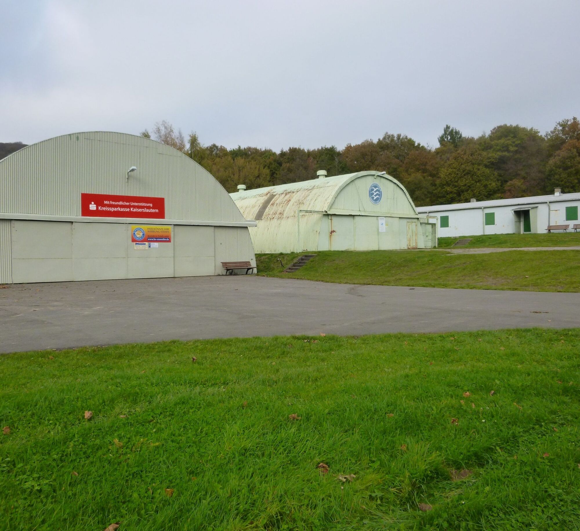
The Remigius hiking route continues very idyllically along narrow paths. After a few hundred meters, we cross the country road and can admire another special tree there, an old oak tree. From there, we hike steadily uphill again through the forest and along the forest edge into the Königsberg, which now offers views back to Potzberg. The Remigius hiking route passes the glider airfield in Eßweiler, where, in good weather and with a bit of luck, gliders can also be observed.
Those who want to return by bus take the access path back to Eßweiler here.
The Remigius hiking route continues uphill and soon reaches the Palatinate Heights Trail, where it ends.
Here the Remigius hiking route ends.
1st variant: Along the "Palatinate Heights Trail", we walk another approx. 1 km to the observation tower on the Selberg or approx. 6.5 km via the Wolfstein hiking trails to the historic town of Wolfstein. The 546 m high Selberg with its steel observation tower is another highlight of the hike. Since 1914, the observation tower has offered a fantastic view over the Königsland.
On Sundays and public holidays, there is the possibility of refreshments in the excursion hut.
2nd variant: With the "White Dot" marking (approx. 4.5 km - eastwards), always downhill, past the youth hostel, to Wolfstein in the Lauter valley.
Wolfstein also offers much hospitality and some sights. The small town on the Königsberg is about 6.5 km away from the Selberg, and the path is signposted via the Palatinate Heights Trail.
For our hikes, we recommend the following standard equipment:
- Sturdy footwear
- Weather-appropriate clothing
- Sun and rain protection
- Sufficient supply of food and drinks, as there are not always places to eat or shop, or they may be closed.
- Even though the paths are consistently very well marked, it is advisable for safety reasons to always carry a suitable
hiking map, so that you can quickly find a safe area in case of, for example, a thunderstorm or emergency.
- Hiking poles recommended.
Generally applies:
Especially in autumn, pay attention that fallen leaves on the ground can conceal unevenness, roots, stones or holes on the path. After thunderstorms or rainstorms, trees may still fall or branches may fall afterward. Particularly in adverse weather conditions, muddy and slippery sections can occur on natural paths. Not all rocks or cliffs are secured with ropes or railings. Surefootedness is required in some places. You must expect trail impairments of this kind when undertaking a hike. If you think that certain trail sections are not passable for you, you should avoid them.
NOTE:
We strive to announce all closures caused by forest work or hunting societies on this platform. Nevertheless, there are situations where hiking trails are closed and we may not have been informed. If you unexpectedly encounter trail closures or detours, please follow the instructions for your own safety.
Coming from Kaiserslautern towards Weilerbach via L367 to Bosenbach.
To Wolfstein/Eßweiler via the B270 towards Lauterecken.
Bosenbach (village center) weekdays Saarpfalzbus 275 to Altenglan station;
On weekends call taxi (0621) 10 77 077, order by phone 1 hour before trip);
From Bosenbach (village center) weekdays Saarpfalzbus 275 to/from Altenglan station;
On weekends call taxi to Altenglan (0621) 10 77 077, please pre-order by phone 1 hour before trip);
Hiking parking spaces available to start along the route.
Sports ground Bosenbach: Coordinates: Longitude 7° 31' 26" / Latitude 49° 32' 53"
Kneipp basin Eßweiler: Coordinates: Longitude 7° 33' 22" / Latitude 49° 33' 18" (also motorhome parking spaces)
Parking lot village center Eßweiler: Coordinates: Longitude 7° 33' 53" / Latitude 49° 33' 32"
Landscheid Hut: Coordinates: Longitude 7° 33' 36" / Latitude 49° 33' 51"
Municipal Association Lauterecken-Wolfstein (Tourism)
Schulstraße 6a, 67742 Lauterecken
Phone: 06382 / 7910
https://www.vg-lw.de/freizeit-tourismus/
Email: info@vg-lw.de
Variant: With the "Palatinate Heights Trail" marking over the Selberg, with fantastic views over the Palatinate Highlands, always downhill (approx. 7.5 km) to Wolfstein into the Lauter valley.
The legend of the Sprengelburg
A legend from old times circulates around the Sprengelburg: Hikers traveling in the evening or night from Oberweiler im Tal to Eßweiler reported suddenly feeling a load on their backs on the ascending road that could not possibly come from their backpacks. Sometimes this load is said to have even forced strong men to their knees. However, as soon as they reached the height of the former Sprengelburg, there was no longer any sensation of weight on their backs. The explanation for this is: The hunchbacked little man who lived on the Sprengelburg loved to have hikers carry him up the strenuous mountain. (Source: www.essweiler.de).
The glider airfield Eßweiler lies idyllically at the foot of the Königsberg mountain and is said to be one of the most beautiful places in Germany. It offers a 4 km long slope on the north side, which guarantees long flights late into autumn under westerly conditions. Visitors can also participate in round flights during the annual airfield festival on the second weekend in September. Information: www.lsv-landstuhl.de
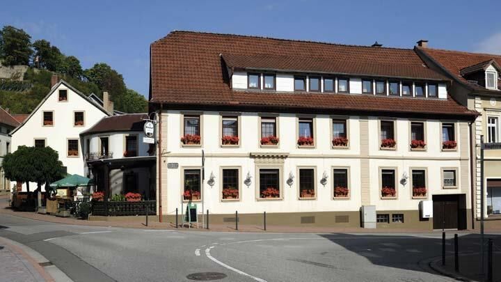
Three hiking-friendly accommodation and catering establishments, as well as many holiday apartments, welcome guests in Wolfstein.
By prior arrangement, a visit “underground” at the Wolfstein Lime Mine should not be missed. This is preserved as a technical monument worked with traditional methods – a living testimony of human enterprise. Information: www.kalkbergwerk.de
Our hiking-friendly hosts will gladly take you to the start and end point of your day stage.
The legend of the Sprengelburg - see under "More Info"
Pridobite vpogled
Vedno v živo na mestu z več kot 9.500 spletnimi kamerami. bergfex Kot uporabnik Pro si lahko zdaj ogledate ustrezne spletne kamere za številne izlete v aplikaciji izleti iz. Tako si lahko neposredno ogledate trenutne razmere.
Priljubljeni izleti v okolici
-
Teufelstour - Olsbrücken
težkoPohodništvo 15.1 km -
5.0
Glan-Blies cycle path | Waldmohr - Staudernheim
srednjaKolesarjenje na dolge razdalje 74.9 km -
Katzweiler - mill circular hiking trail
svetlobaPohodništvo 13.1 km -
Katzweiler - Humberg route (circular)
težkoPohodništvo 13.0 km -
Otterbach - Waldforscher path in Himmelreich
svetlobaTematska pot 2.59 km -
Wolfstein - summit trail to Königsberg
težkoTematska pot 8.11 km -
5.0
Potzberg Hiking Trail
srednjaPohodništvo 14.7 km -
Lauter Valley cycle path
svetlobaKolesarjenje 36.1 km -
Veldenz Hiking Trail - Entire route (Burg Lichtenberg - Veldenz Castle in Lauterecken) - Leading Quality Trail - Best of Europe
težkoPohodništvo 62.0 km -
Glan-Blies Cycle Route | Family route »Storks, churches & rail cycles«
svetlobaKolesarjenje 32.4 km
Pohodništvo in sledenje


Ne zamudite ponudb in navdiha za naslednje počitnice
Vaš e-poštni naslov je bil dodan na poštni seznam.





