


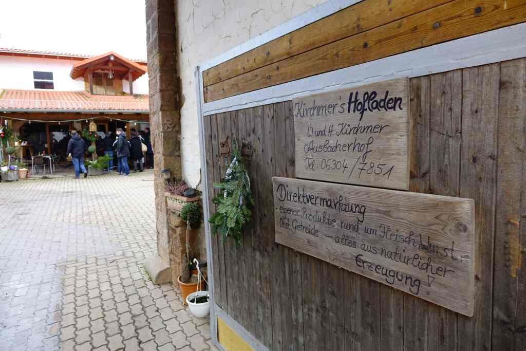
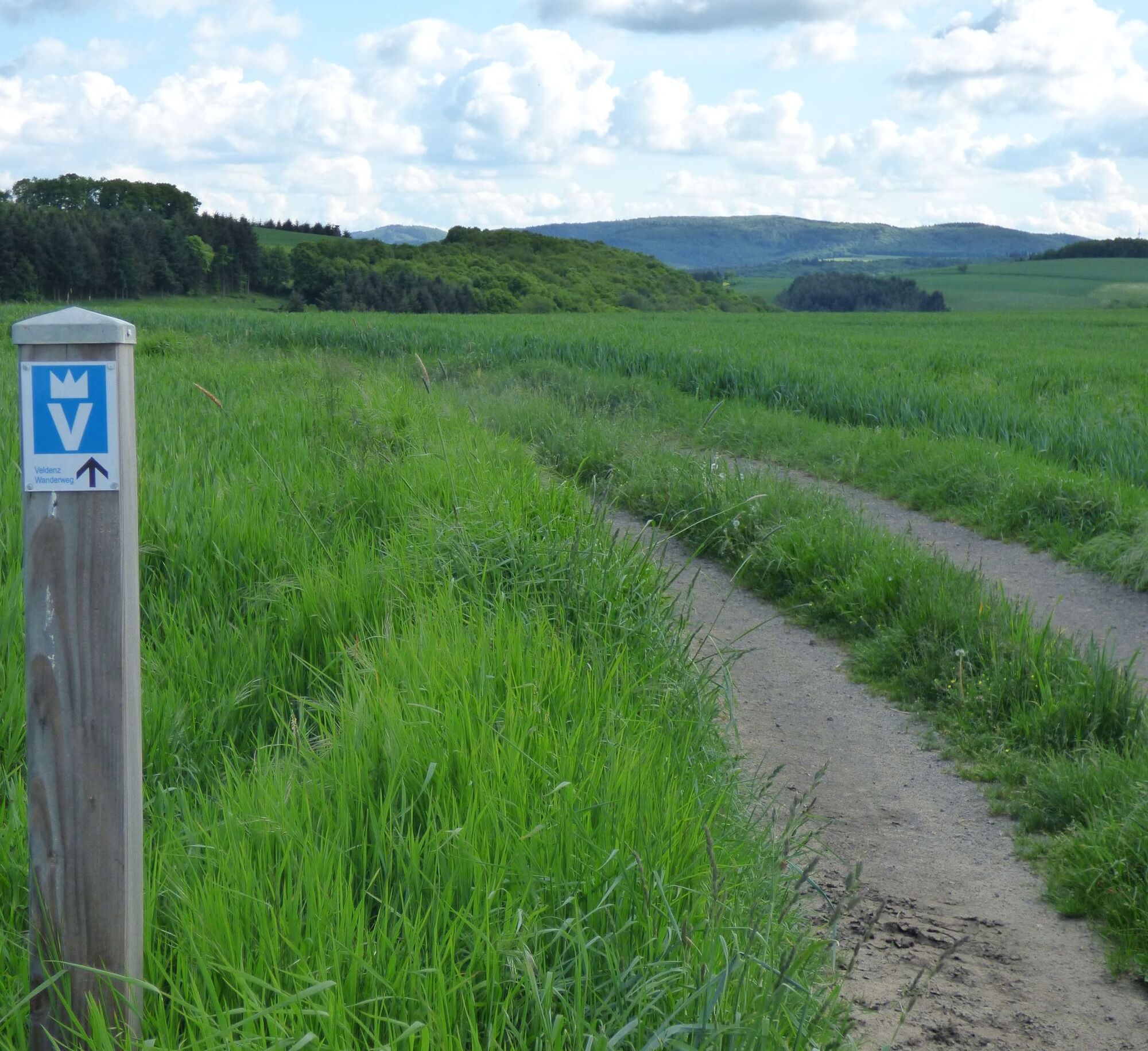
Veldenz Hiking Trail - Stage 5 (Ausbacherhof - Veldenz Castle in Lauterecken) - Leading Quality Trail - Best of Europe
The hike continues from Ausbacherhof to Reipoltskirchen, with the former water castle, which has become a genuine gem after its renovation by the district of Kusel. The flooded moat and the geometric planting...
The hike continues from Ausbacherhof to Reipoltskirchen, with the former water castle, which has become a genuine gem after its renovation by the district of Kusel. The flooded moat and the geometric planting areas create a beautiful sight.
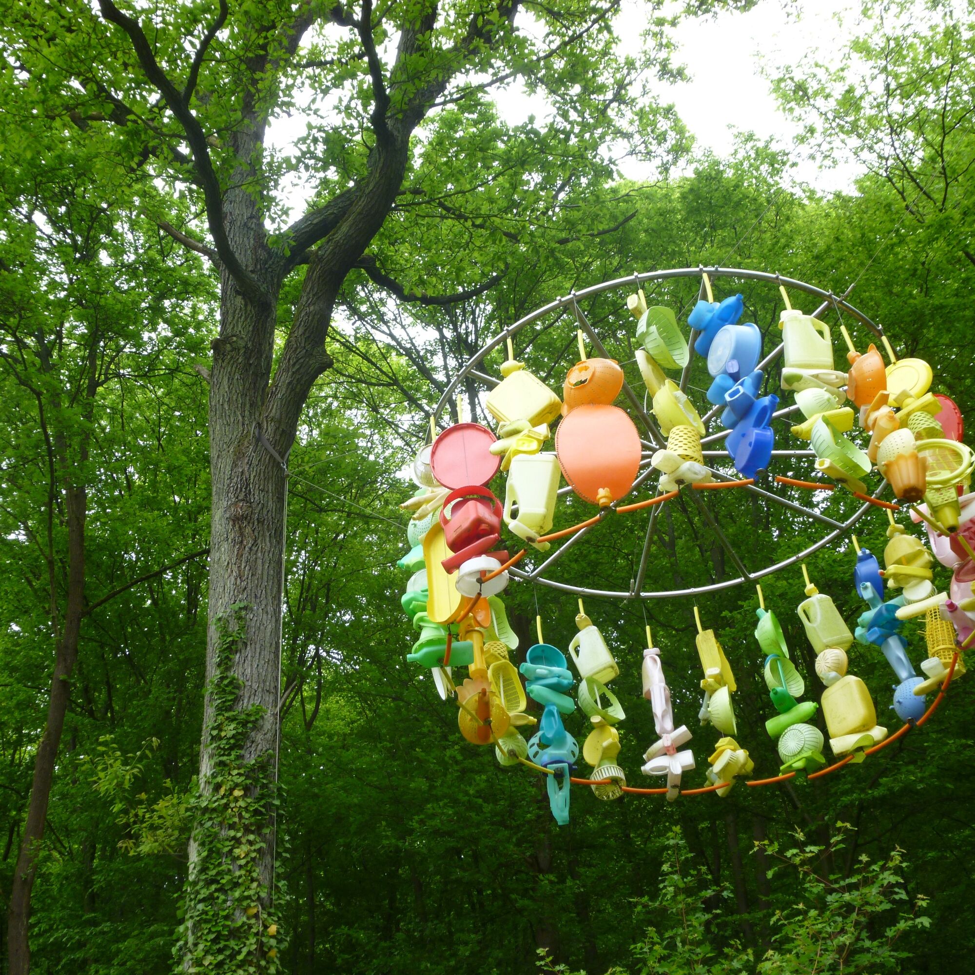
The hiking trail leads around the water castle via a sculpture path, newly established in recent years.
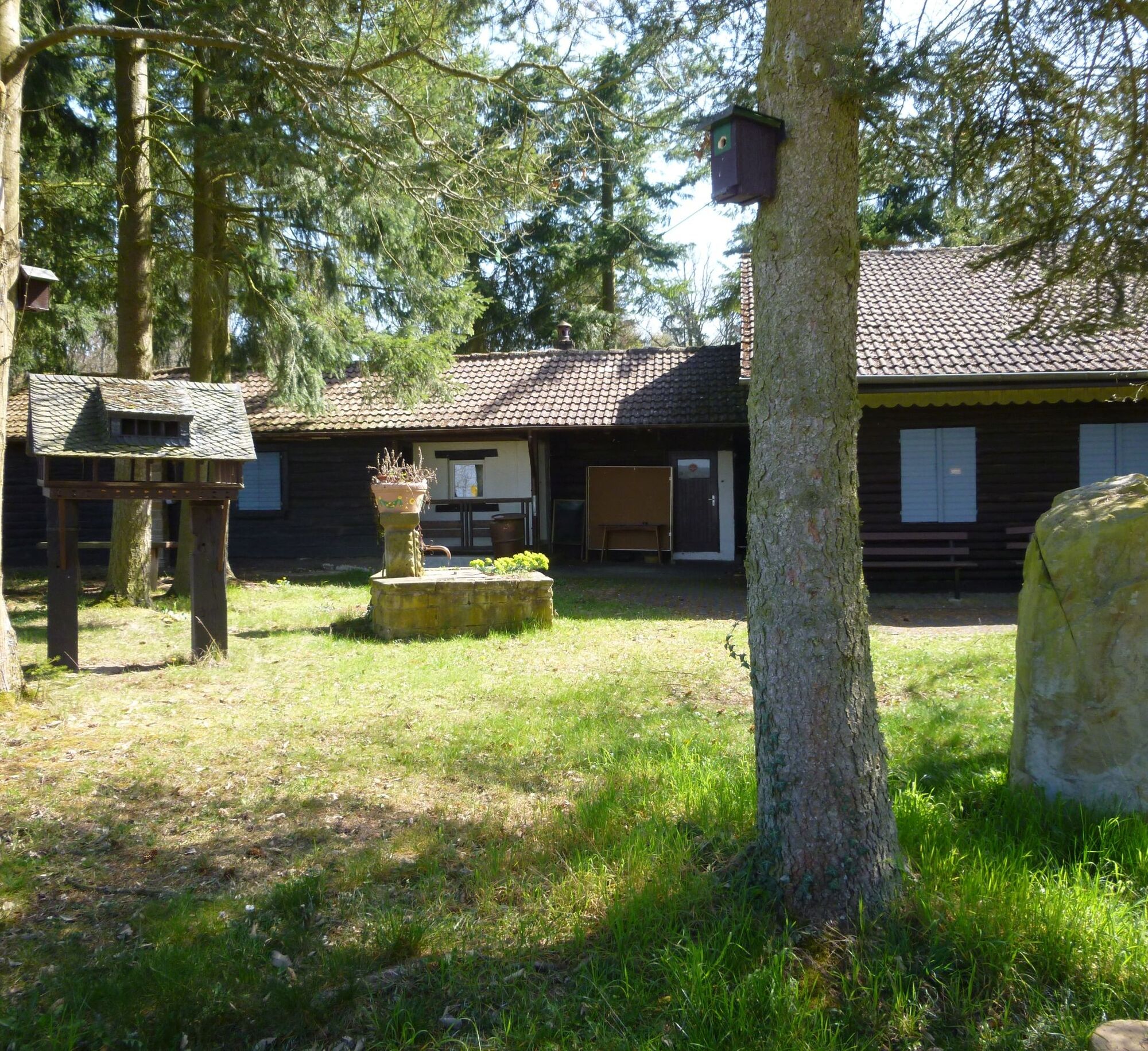
After many fantastic views, we reach the Veldenz village Cronenberg and continue hiking through the Sulzbach valley up to the "Am Weiher" hut (Palatinate Forest Club Lauterecken). The hut is open from Good Friday to October on Sundays and public holidays from 9 am to 6 pm and by appointment.
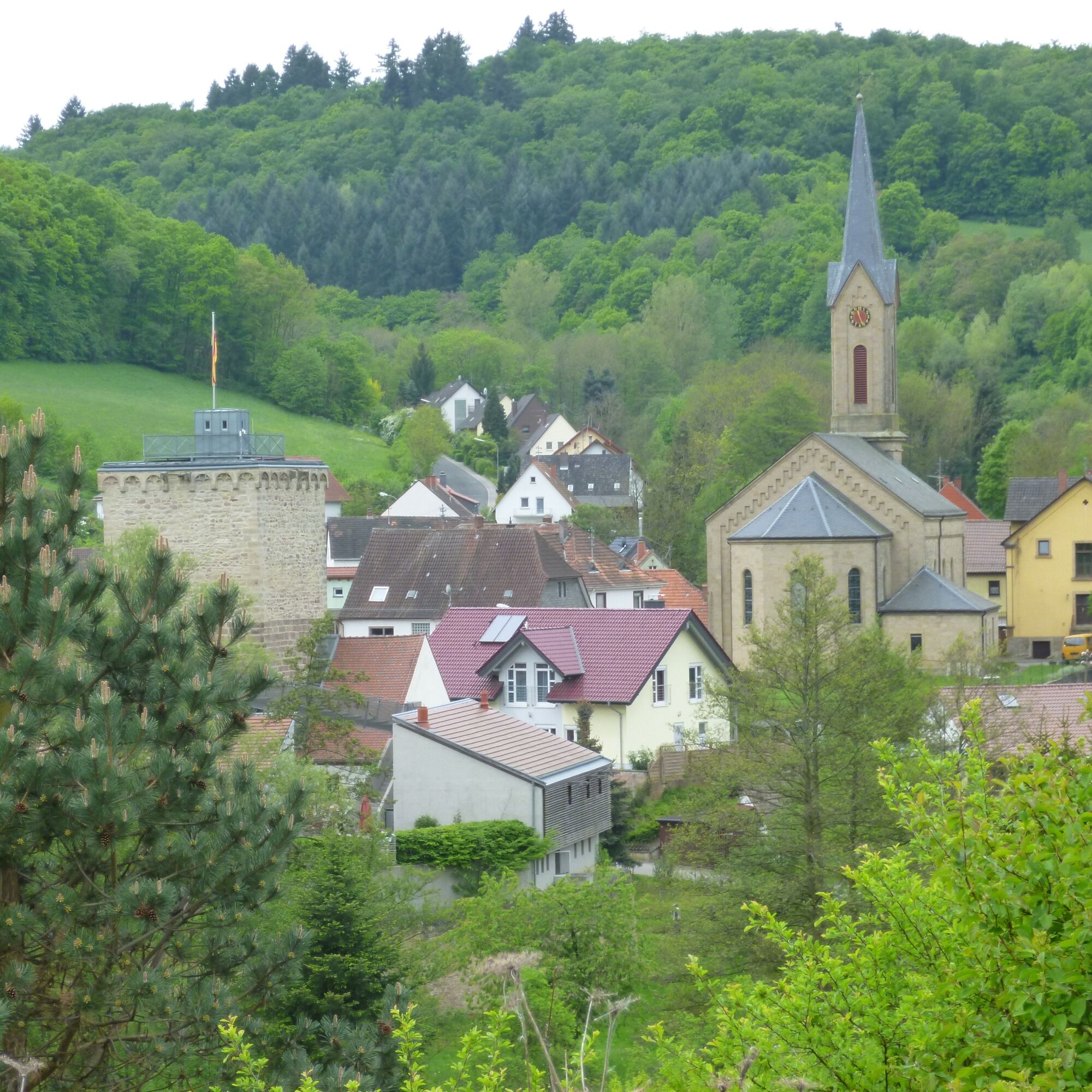
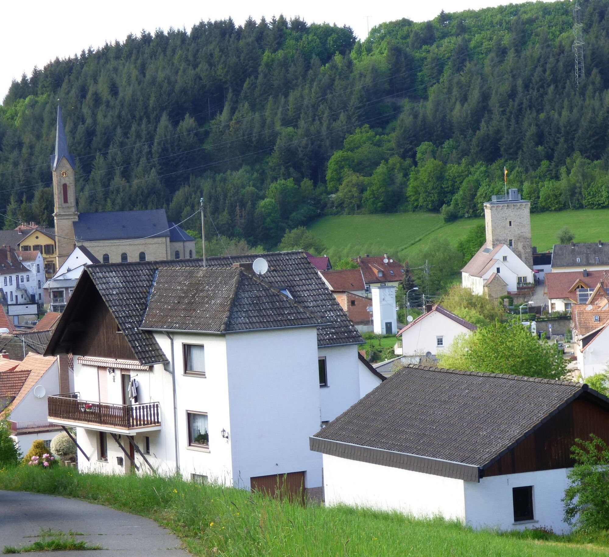
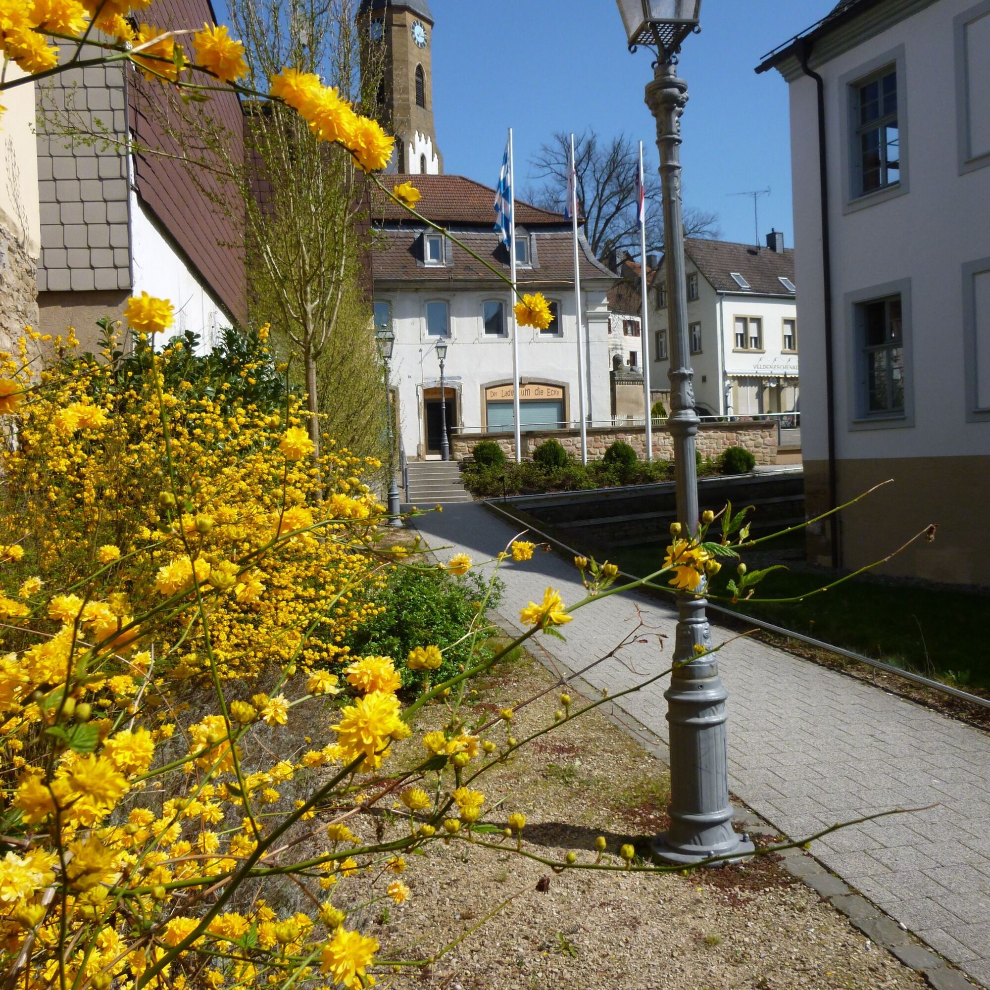
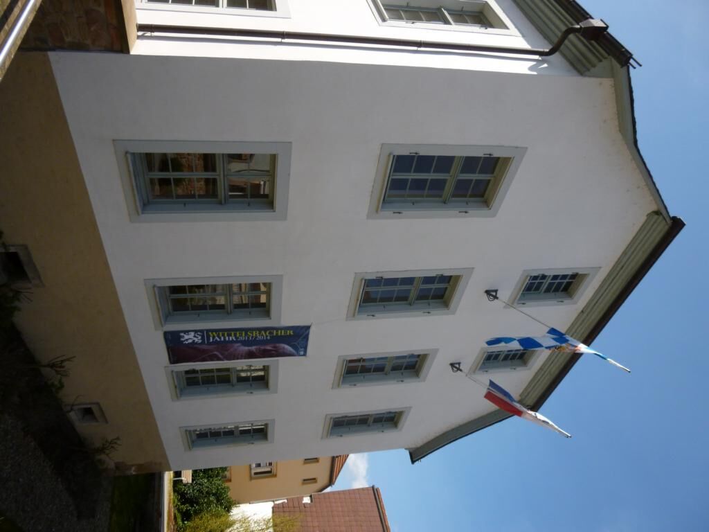
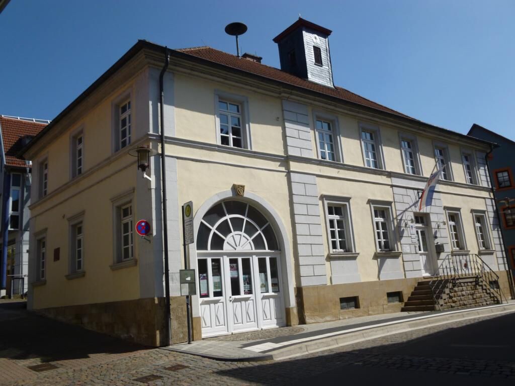
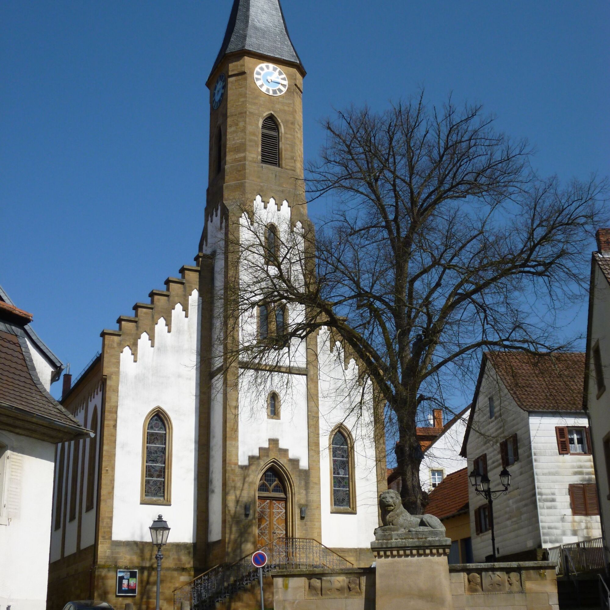
The Veldenz hiking trail ends at the Veldenz castle in Veldenz town Lauterecken. Old houses have been lovingly renovated here to enliven the townscape.
PLEASE NOTE! - Campaign for considerate coexistence in nature
- Always behave considerately, friendly, and respectfully towards everyone you meet on the way.
- Respect nature, do not damage plants, and always stay on the paths.
- Remember to take a rubbish bag with you and carry your litter home.
- Please always keep your dog on a leash. Other visitors and animals will thank you.
- For your own safety, observe all path closures, even on weekends.
- Park only in designated parking areas. Leave room for emergency routes and agricultural machinery.
- Please give priority to agricultural and forestry traffic.

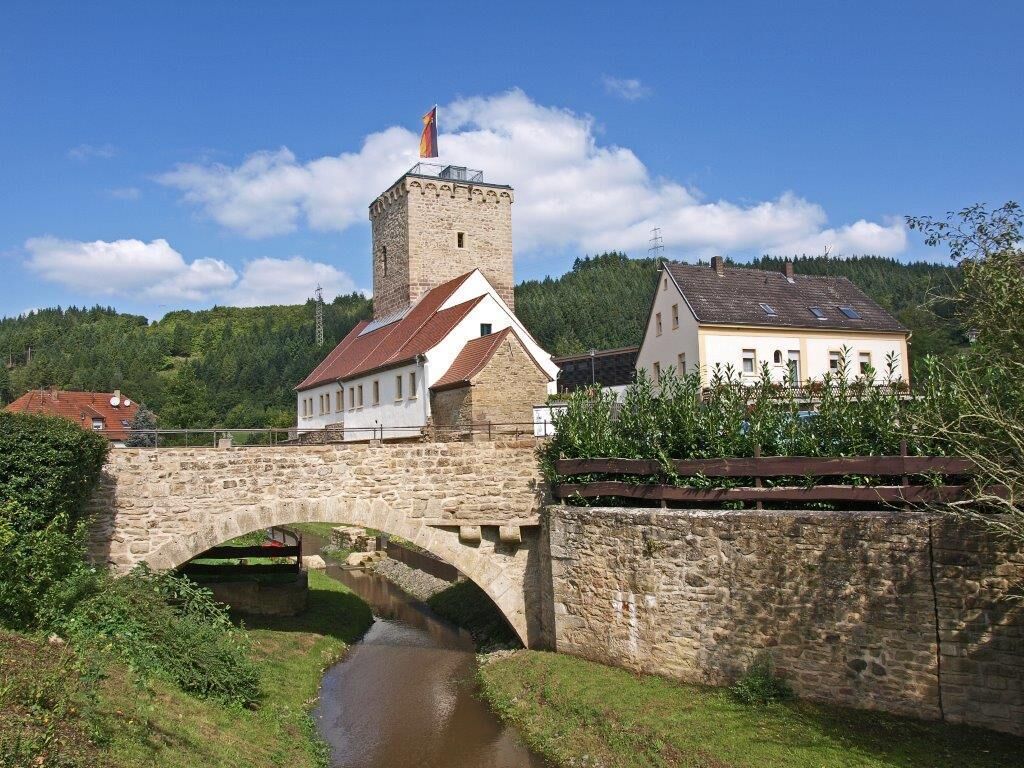

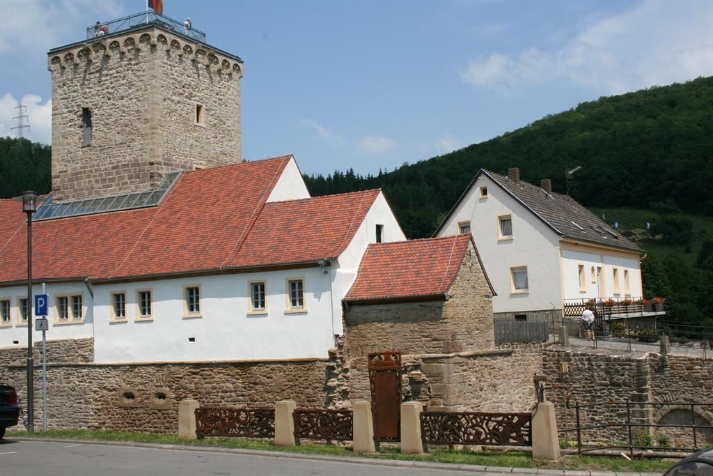

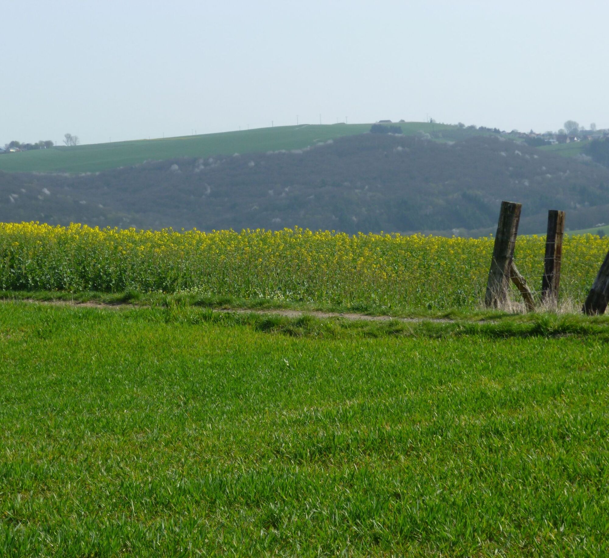
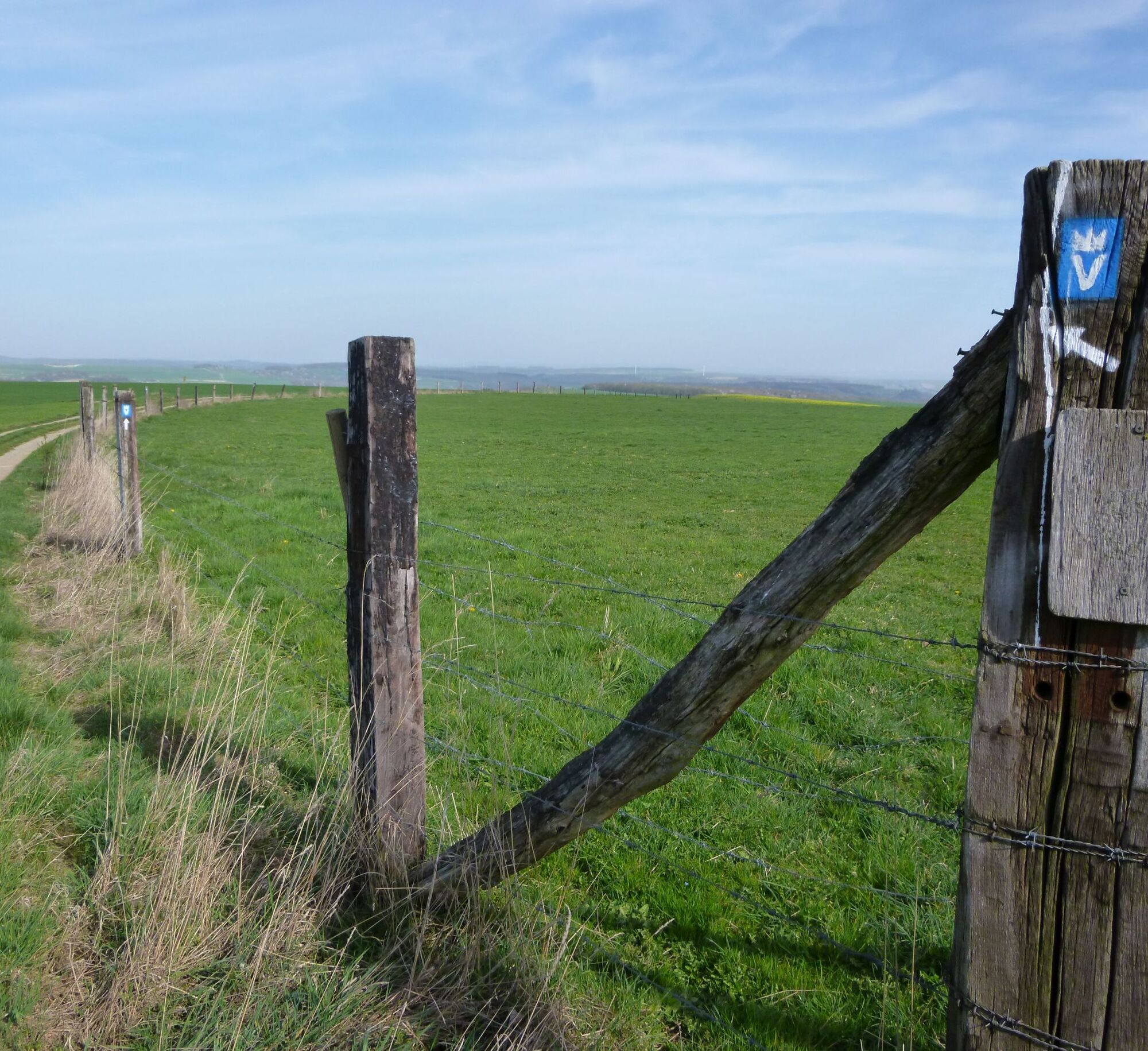
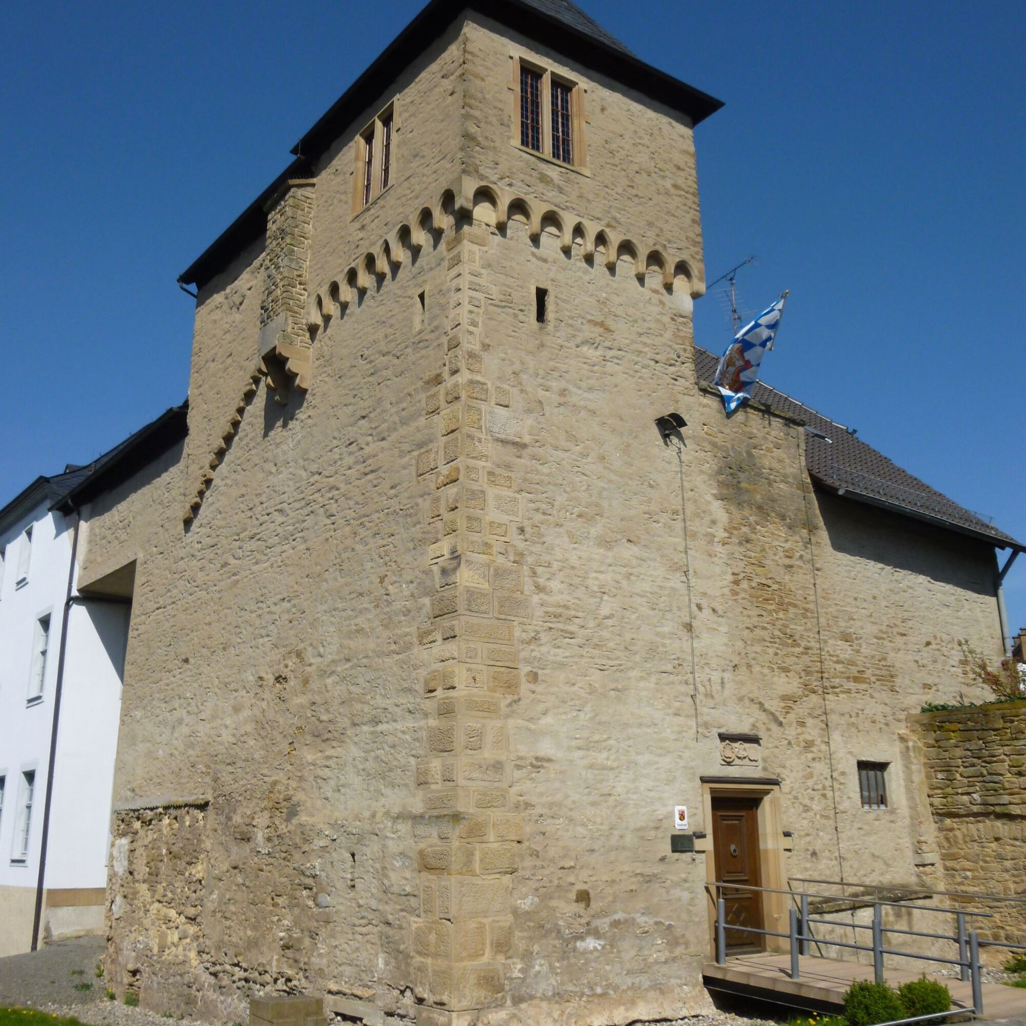
The 5th stage of the Veldenz Hiking Trail offers some very special highlights. From Ausbacherhof, we descend into the valley of the Odenbach - the path leads around the Steinkopf and along beautiful narrow paths through the forest. At the edge of the forest, the view opens up to the Odenbach valley and soon the community of Reipoltskirchen with the imposing water castle comes into sight.
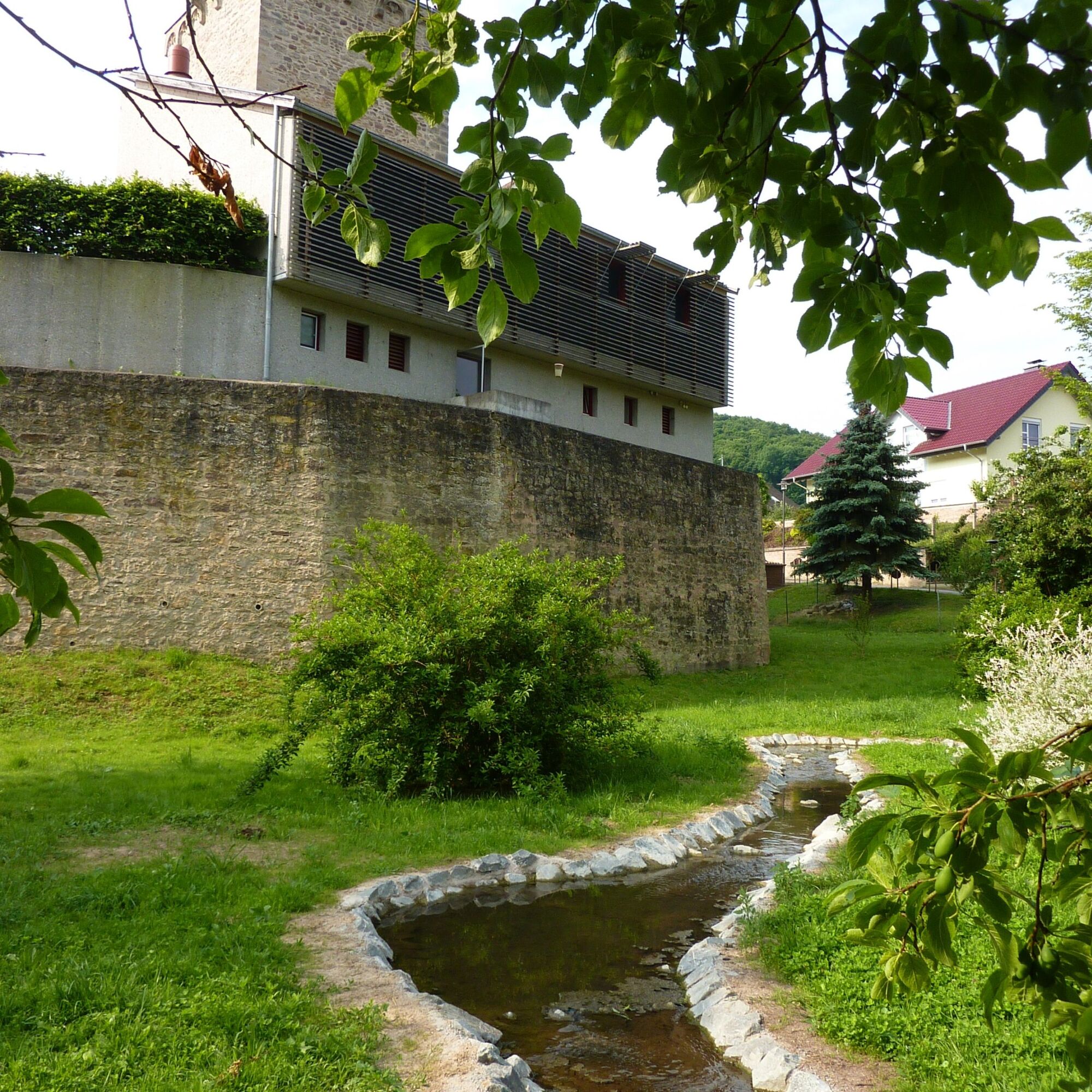
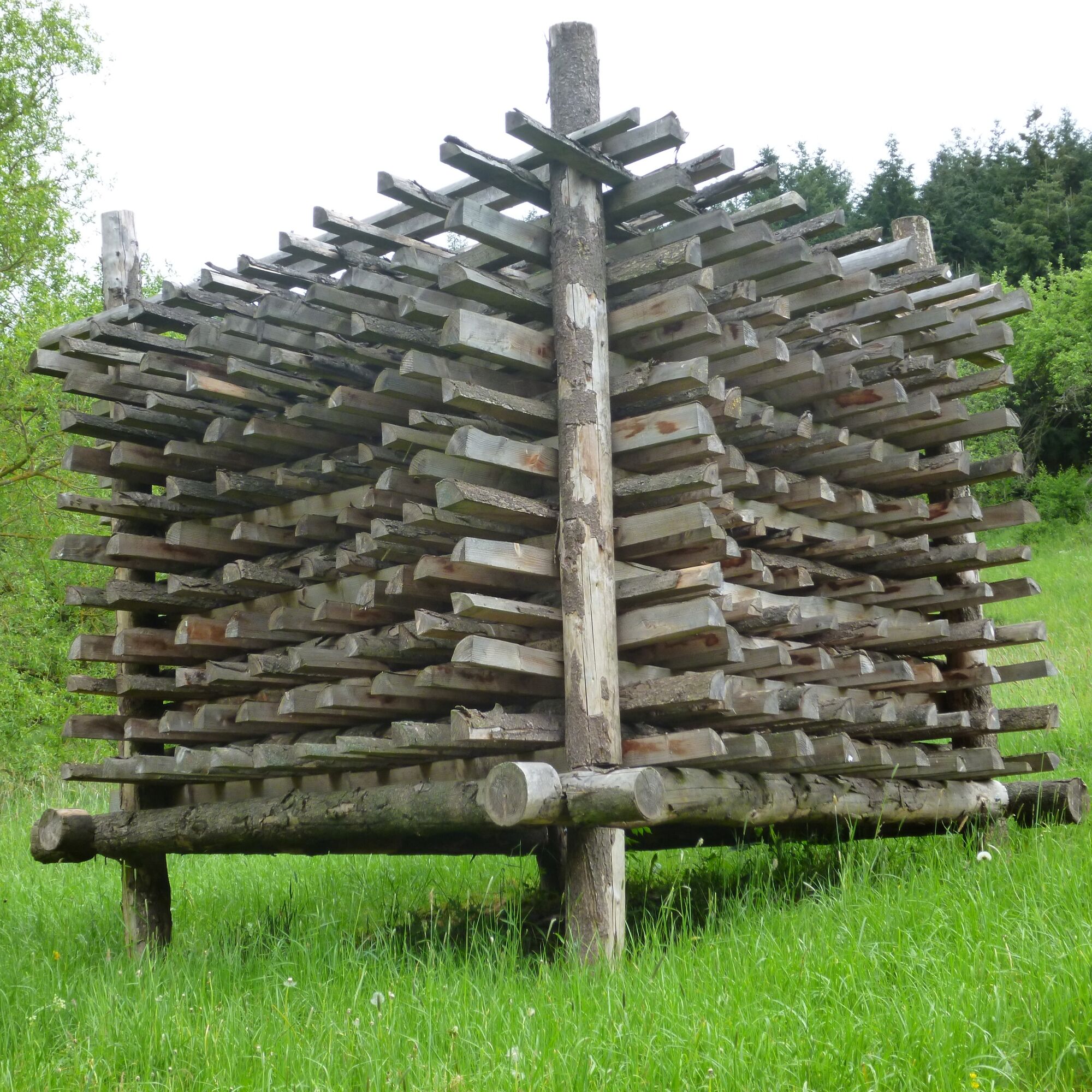
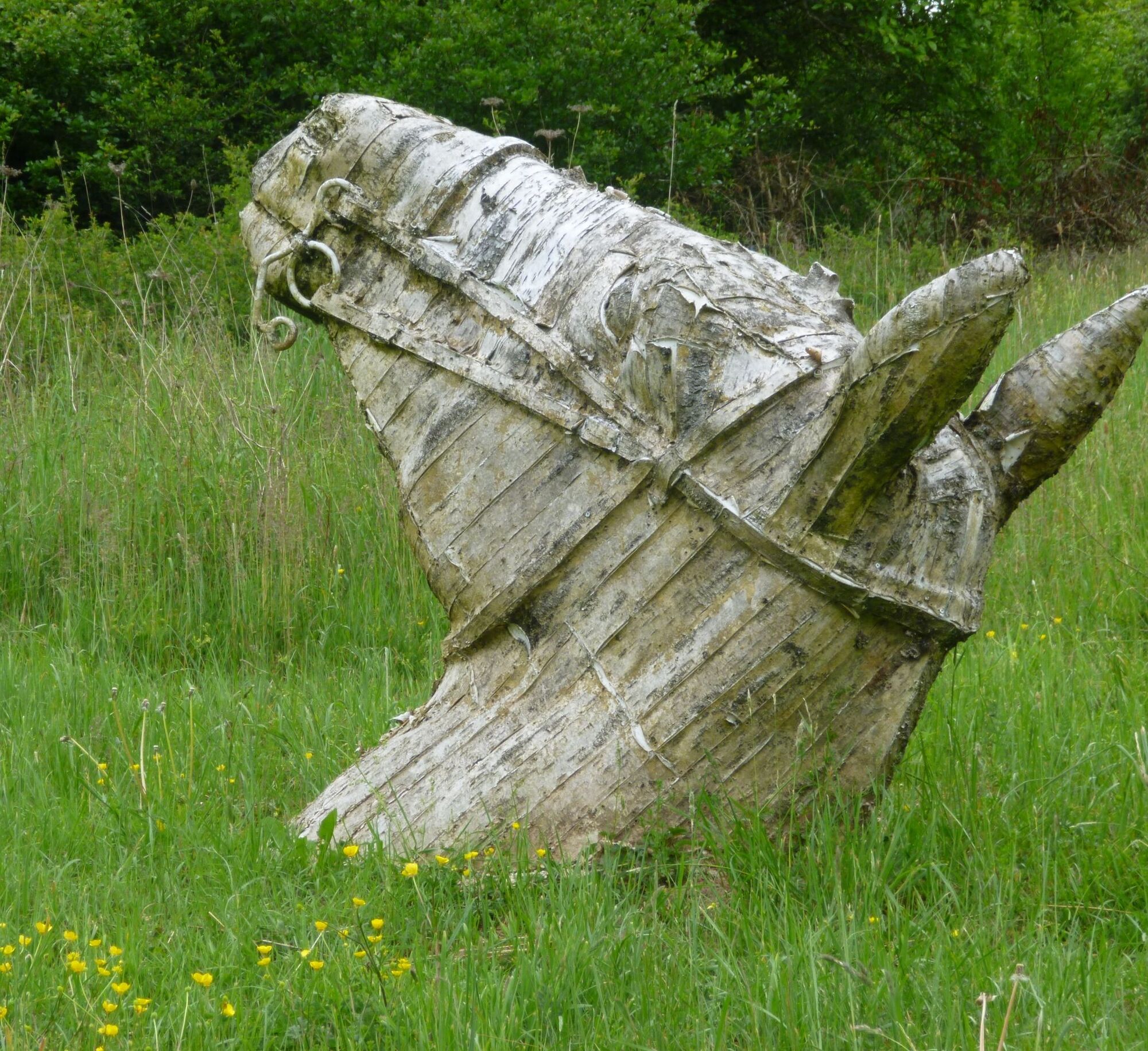
The Veldenz Hiking Trail follows the sculpture trail around the water castle. Established in 2010 and expanded in 2011, the development is not yet complete – there is always something new to discover. It’s worth visiting the castle itself. In the strikingly designed grounds, we also encounter Gottfried Bräunling again, and the view from the tower is worth every step. This is really a great place to rest!
The Veldenz Hiking Trail follows the main street out of Reipoltskirchen and after a few hundred meters, it turns left back up to the heights.
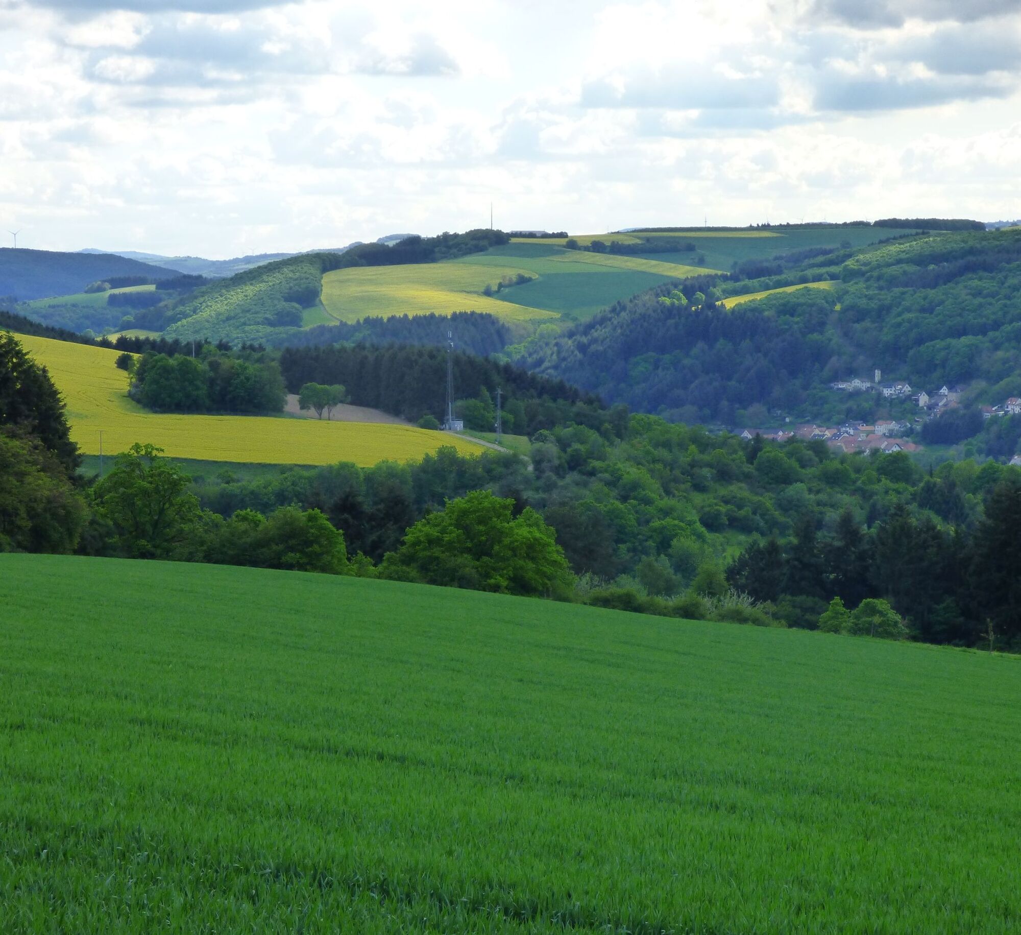
The next 1.5 km should be taken leisurely – it goes steeply uphill – but you will be rewarded by the fantastic view over the Palatinate Highlands. Now the trail gently descends towards the local community of Cronenberg, a welcome relief after the strenuous ascent.
We pass through Cronenberg itself, another Veldenz village, and begin the descent into the Sulzbach valley. A small brook runs briskly down from the heights through a deep cut and flows into the Glan near Medard.
The babbling of the brook accompanies us for a while longer on our next climb to the last height. Once again, we can enjoy the natural silence, the almost complete absence of civilization noises, which repeatedly shapes the character of this path.
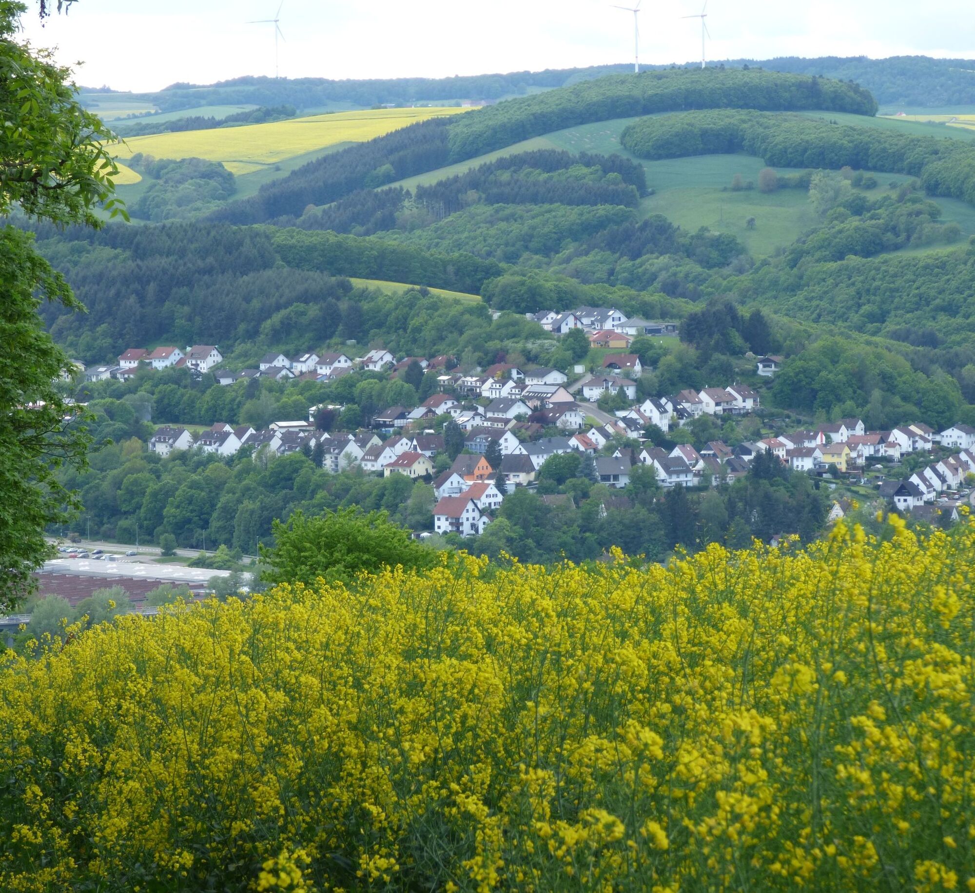
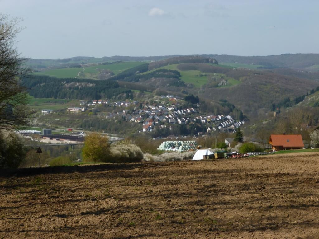
Once on the heights, we leave the forest and approach Lauterecken. As a harbinger of civilization, we reach the "Am Weiher" hut of the Palatinate Forest Club Lauterecken.
Now it’s all downhill; your feet almost walk themselves to the Veldenz town Lauterecken. A perfect stage destination for a beautiful hiking trail! The old town has been lovingly restored over the years, and there is much to discover. There are also numerous options to refresh and relax: whether in the town café or at the Restaurant Lauterecker Toskana or even at the Palatinate Hof – you will be well looked after in Lauterecken in any case.
Da
For our hiking tours, we recommend the following equipment as standard:
- Sturdy footwear
- Weather-appropriate clothing
- Sun and rain protection
- Sufficient supply of food and drinks, as there are not always places to rest or shop available or open.
- Even though the paths are consistently well marked, we recommend always carrying a suitable
hiking map for safety reasons so that, for example, in case of a thunderstorm or emergency you can quickly find a safe area.
- Hiking poles are recommended.
General information:
Especially in autumn, pay attention to fallen leaves on the ground that might cover unevenness, roots, stones, or holes in the path. After thunderstorms or heavy rain, trees may still fall or branches fall down afterwards. Particularly in adverse weather conditions, natural paths can have muddy and slippery sections. Not all rocks or precipices are secured with ropes or railings. Sure-footedness is required in places. You should expect such path impairments when hiking. If you think certain sections are impassable, you should avoid them.
NOTE:
We strive to announce all closures caused by forest work or hunting parties on this platform. Nevertheless, there are situations where trails are closed and we may not have been informed. If you unexpectedly encounter a path closure or detour, please observe the instructions for your own safety.
Coming from Kaiserslautern via the L 382 to Reipoltskirchen and then via the K 42 towards Einöllen to Ausbacherhof
or via the B 270 to Lauterecken.
From the Wolfstein hiking station by call taxi 2973 (Tel.: 0621 10 77 077) - pre-booking at least 1 hour before desired departure - to Ausbacherhof.
From Lauterecken by the Lautertalbahn back to Wolfstein or Kaiserslautern.
Information at:
Public parking and motorhome parking at Ausbacherhof, Ausbacherhof 1, 67753 Reipoltskirchen
Coordinates: Longitude 7° 39' 24'' / Latitude: 49° 36' 47''
Public parking at Lauterecken train station.
Coordinates: Longitude: 7° 35' 28'' / Latitude: 49° 39' 12''
Da
Municipality Lauterecken-Wolfstein (Tourism)
Schulstraße 6a, 67742 Lauterecken
Phone: 06382 / 7910
https://www.vg-lw.de/freizeit-tourismus/
Email: info@vg-lw.de
In some years, around the Reipoltskirchen Water Castle, the art event "Art in the Green" takes place
www.landkreis-kusel.de www.reipoltskirchen.de
The water castle houses a restaurant and the district painting school.
It’s worth enjoying the hospitality in Lauterecken, the hiker-friendly establishments, and staying a little longer.
A city tour (by appointment, Tel.: 06382/8805, Mobile: 0160/7417769) reveals many pearls of the small town, and a visit to the Chainsaw Museum is also very special and will remain a lasting memory.
Or move in a completely different way: our draisine tour on the former Glantalbahn is pure adventure!
A must is to stop at the Water Castle in Reipoltskirchen.
For "art enthusiasts," there is a small (1.1 km) sculpture trail.
Pfälzer Hiking Menu - The most beautiful hiking trails
Priljubljeni izleti v okolici
Teufelstour - Olsbrücken
težkoPohodništvo 15.1 km- 5.0
Glan-Blies cycle path | Waldmohr - Staudernheim
srednjaKolesarjenje na dolge razdalje 74.9 km Pfälzer Höhenweg complete route
težkoPohodništvo v daljavo 115.8 kmWolfstein - summit trail to Königsberg
težkoTematska pot 8.11 kmLauter Valley cycle path
svetlobaKolesarjenje 36.1 kmGlan-Blies Cycle Route | Family route »Storks, churches & rail cycles«
svetlobaKolesarjenje 32.4 kmVeldenz Hiking Trail - Entire route (Burg Lichtenberg - Veldenz Castle in Lauterecken) - Leading Quality Trail - Best of Europe
težkoPohodništvo 62.0 kmHorschbach - Herrmannsberg high route "Panorama route"
srednjaPohodništvo 9.39 kmGlan-Blies cycle path | Family route "Gems on the Glan"
svetlobaKolesarjenje 22.7 kmOlsbrücken - The Sulzbachtal (RW2)
srednjaPohodništvo 8.85 km
Pohodništvo in sledenje


Ne zamudite ponudb in navdiha za naslednje počitnice
Vaš e-poštni naslov je bil dodan na poštni seznam.