



Pfälzer Waldpfad Stage 04 Heltersberg - Rodalben

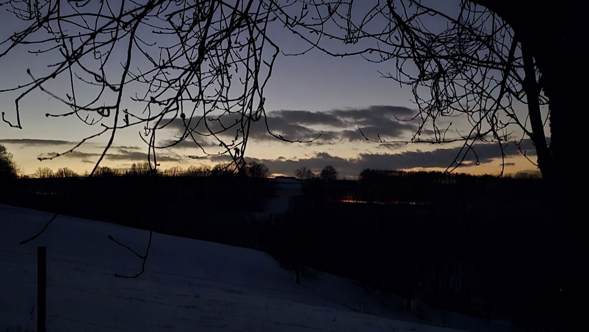
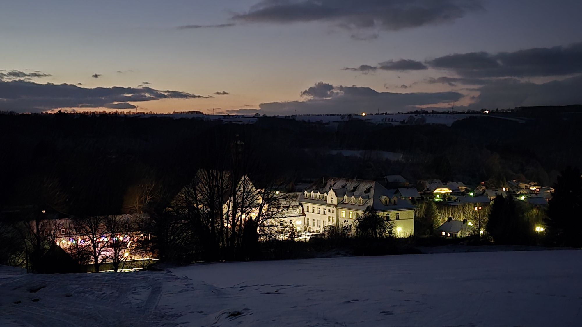
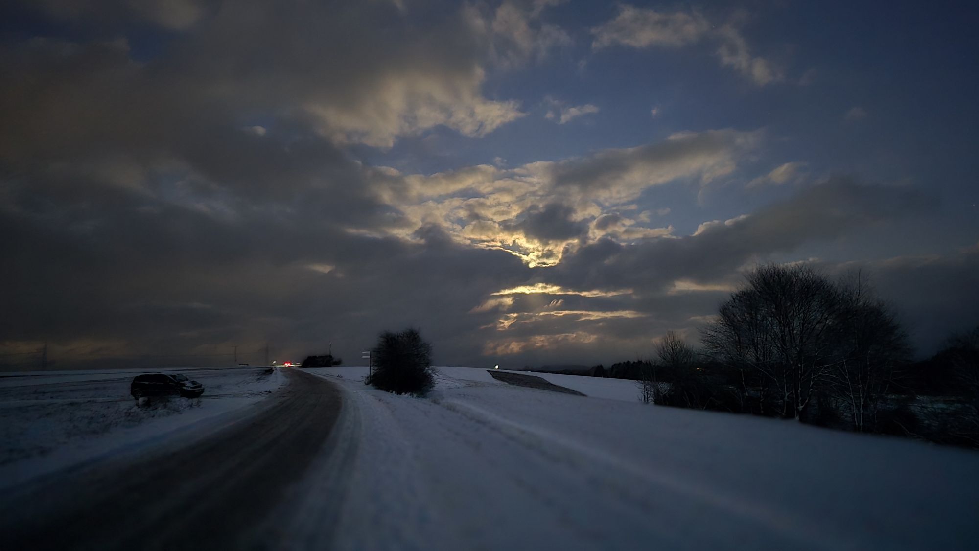
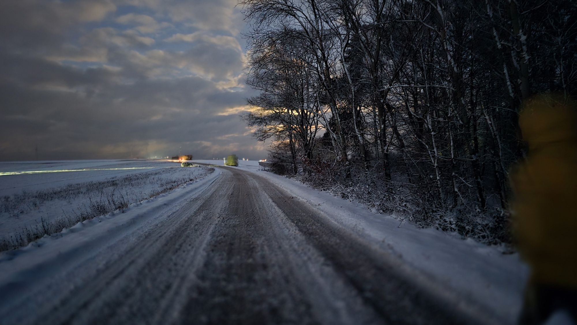
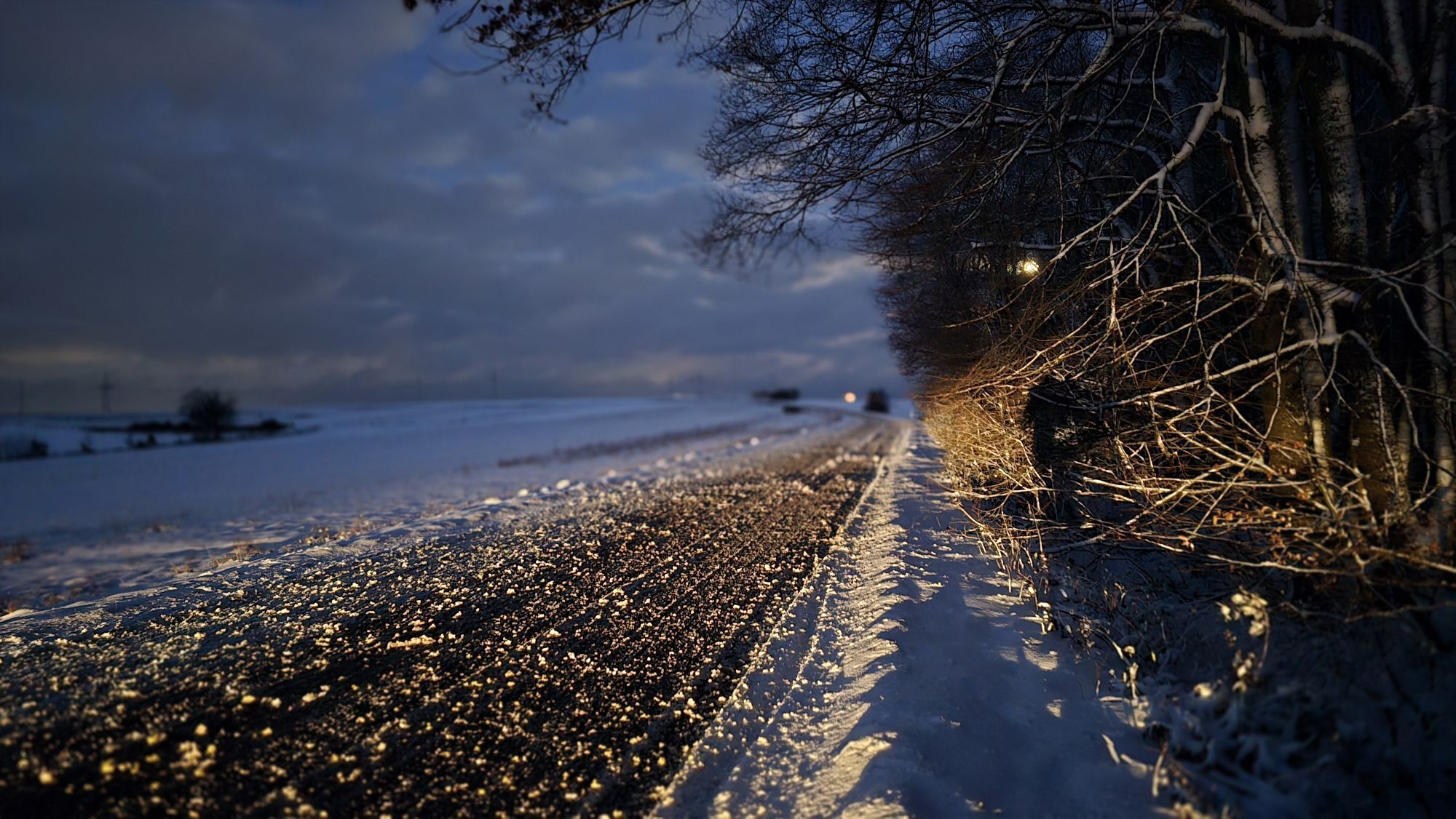
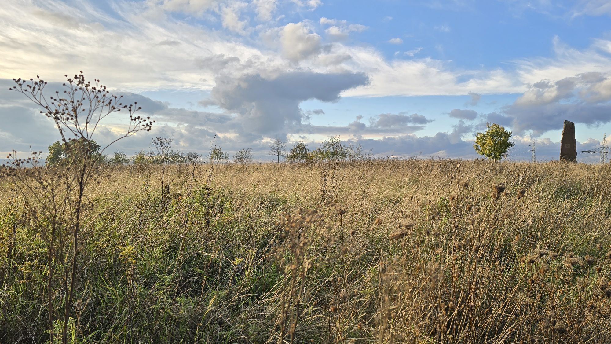
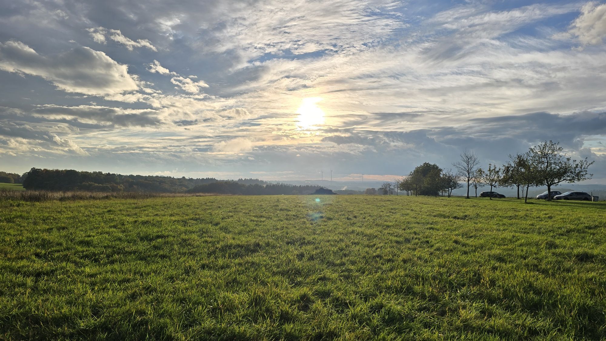
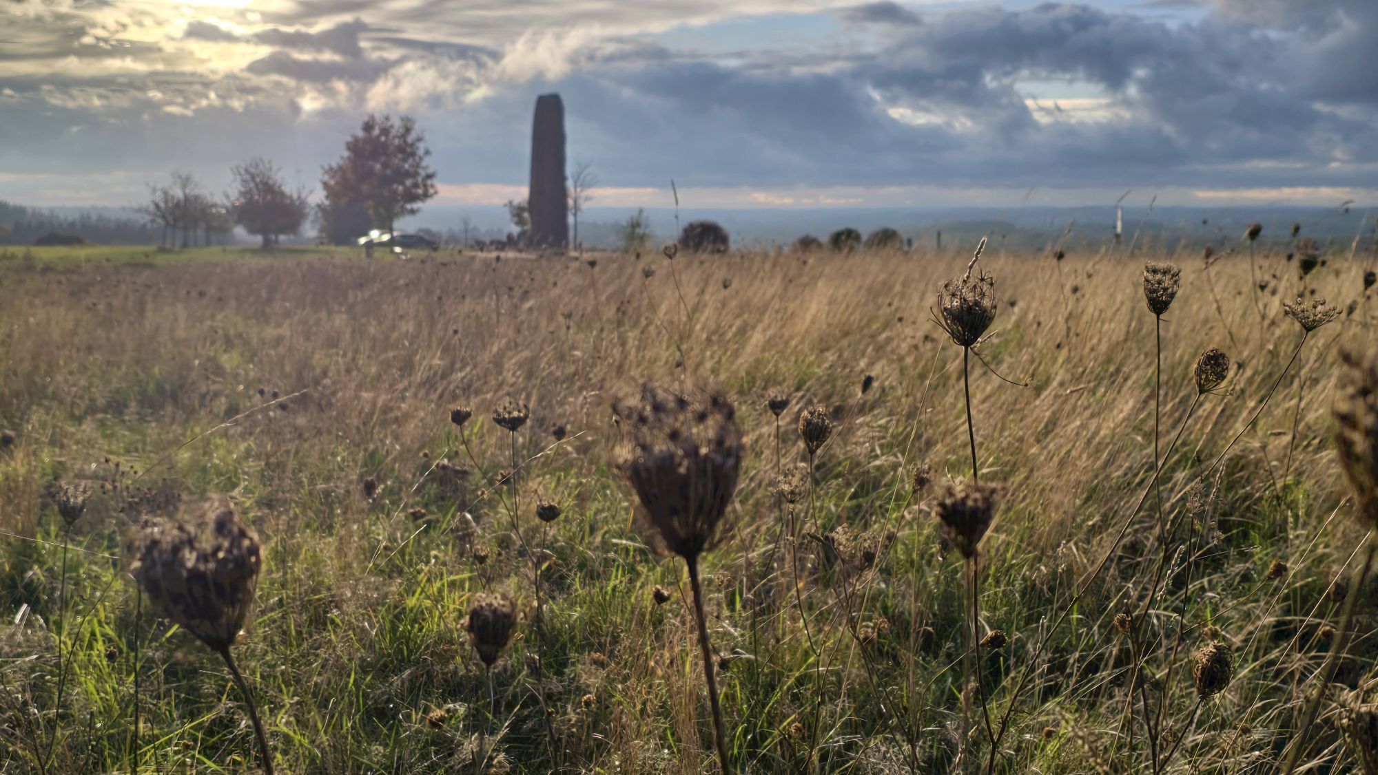
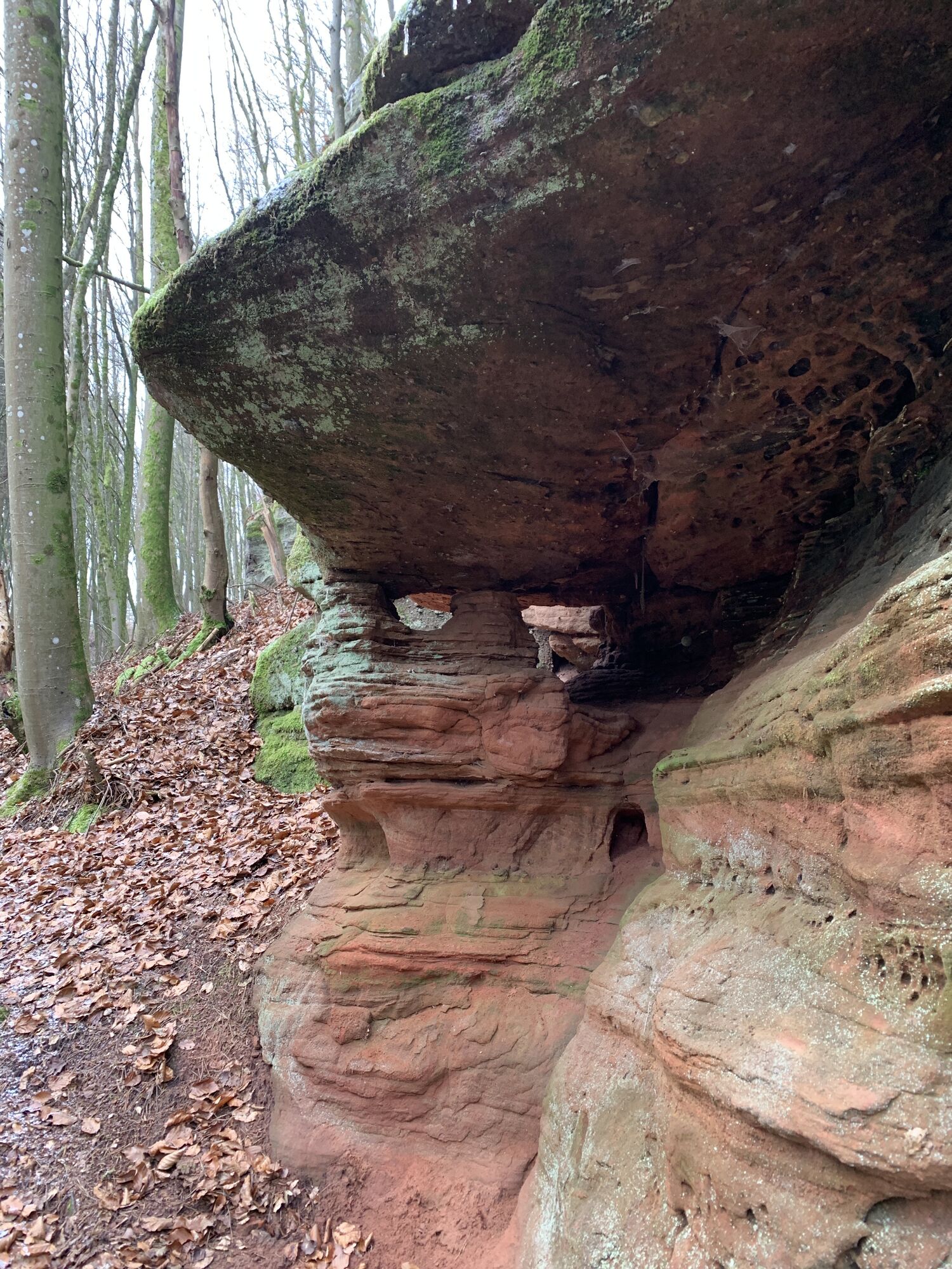
From Heltersberg you enter the protection of the trees and reach the ridge of the mountain range to the legendary Seelenfelsen, which is covered with weatherings, notches and overhangs. The path winds...
From Heltersberg you enter the protection of the trees and reach the ridge of the mountain range to the legendary Seelenfelsen, which is covered with weatherings, notches and overhangs. The path winds to Drei-Sommer-Berg and to the remains of Heidelsburg. It is considered one of the best-preserved Roman mountain fortifications in Germany. Along the Schwarzbach valley, you pass a former coat of arms smithy. The pilgrimage site Maria Rosenberg with pilgrimage church and Marian grotto comes into view. At noon it offers the opportunity to rest and dine. An ascent separates you from Donsieders and the monolith on the high plateau of the Orleberg. Over meadows, fields and forest you soon reach the Hilschberghaus near Rodalben, one of the Pfälzerwald huts offering overnight accommodation.
WATCH OUT! - Campaign for considerate coexistence in nature
Fire & Smoking - Making fire, smoking and grilling are strictly prohibited in the forest and must be strictly avoided! Fires and thus great damage to nature and wildlife can only be prevented in this way.
Travel considerately - Always behave in a foresighted, friendly and considerate manner towards everyone you meet on the way.
Nature conservation - Stay on the designated paths and avoid unnecessary noise when you are in nature. Leave the forest at the latest at dusk to avoid disturbing the rhythm of nocturnal animals.
Picnic & Waste - Remember to take a trash bag with you and take your waste back home. Use only the furnished rest areas for breaks and picnics.
Leash your dogs - Please always keep your dog on a leash. Other visitors and animals will thank you.
More info at: www.pfalz.de/uffbasse

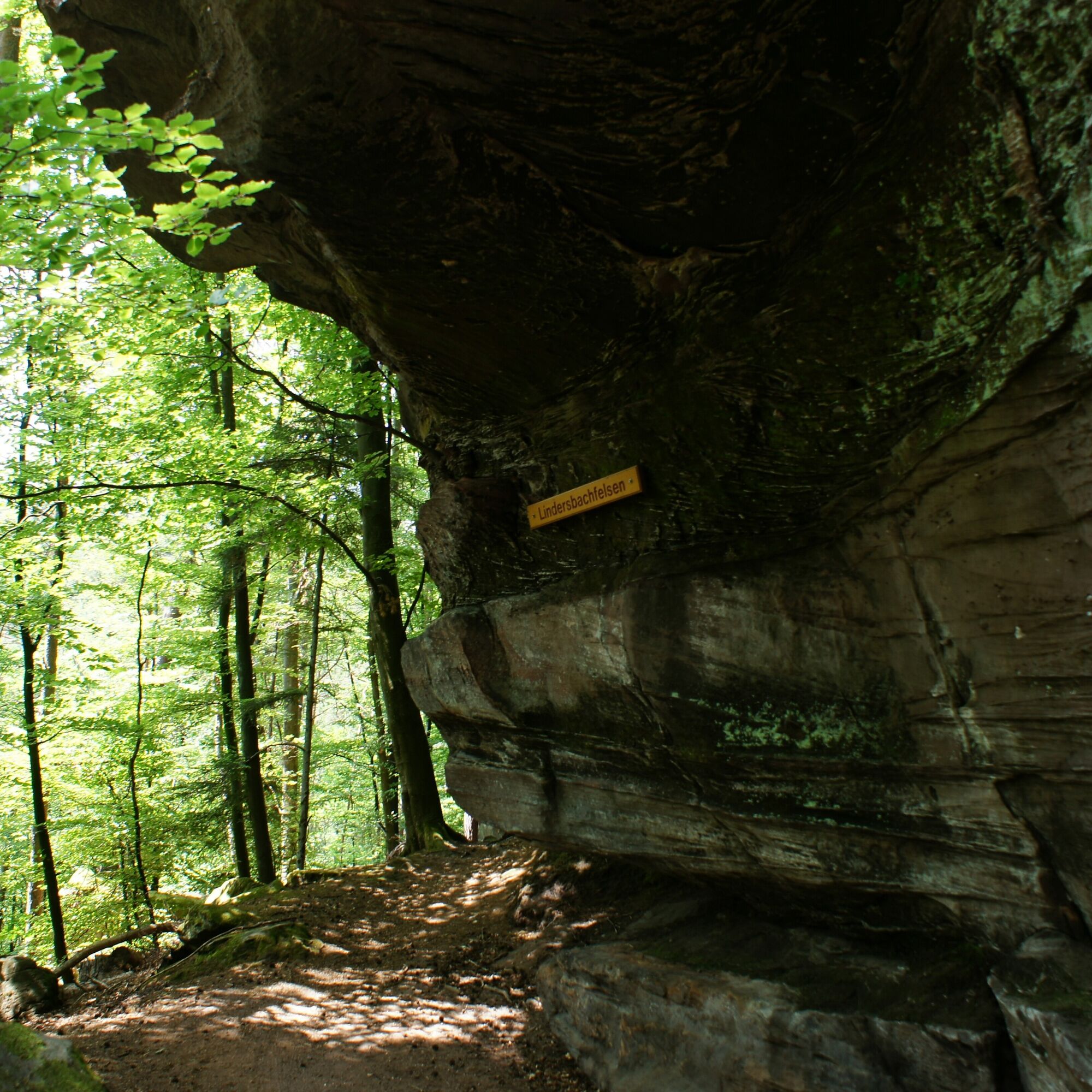
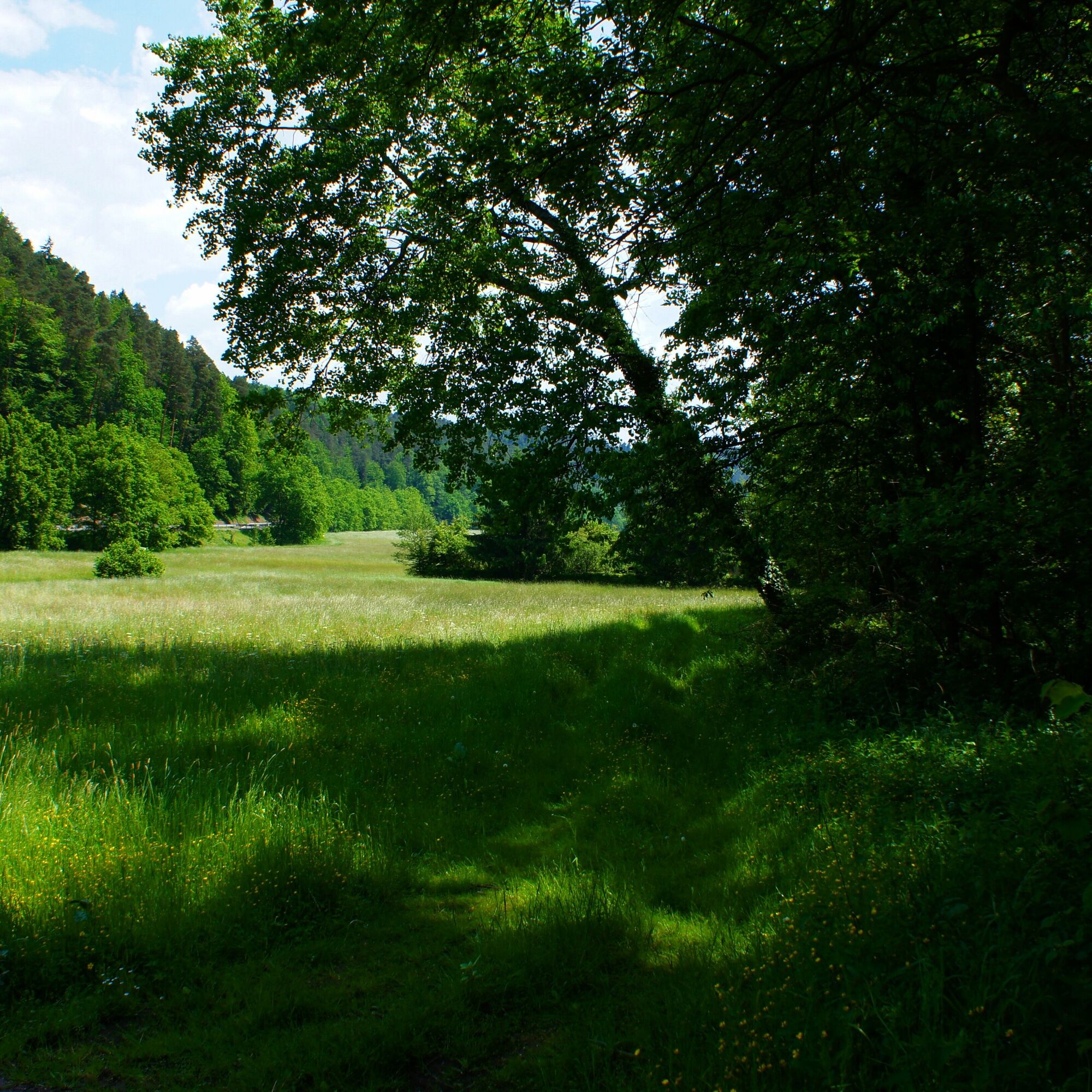

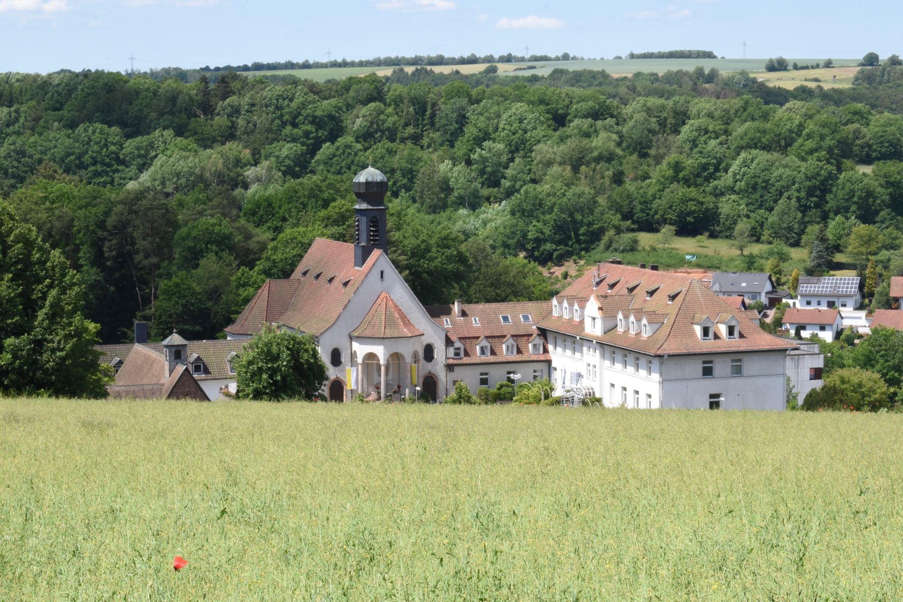
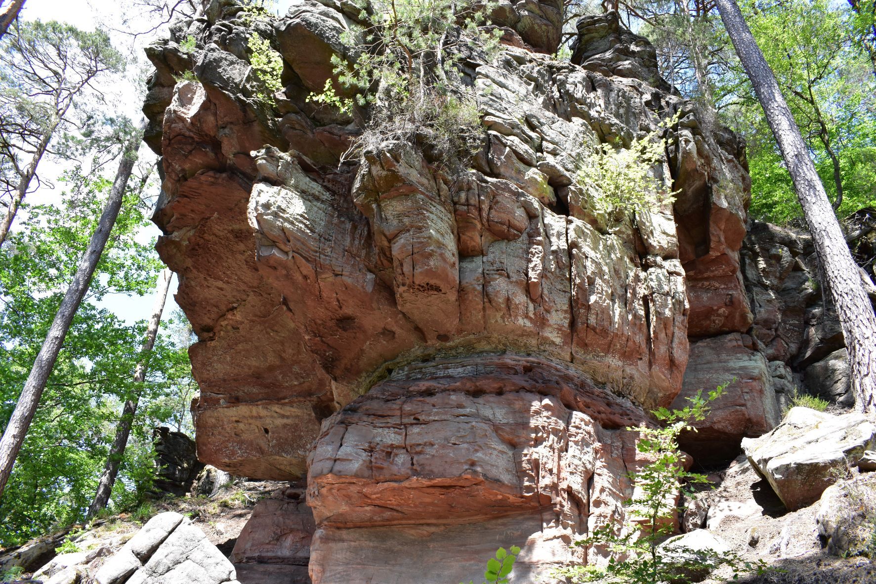
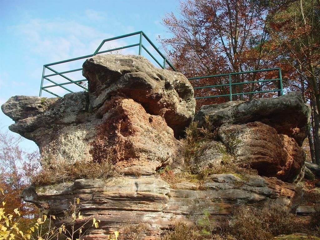

The fourth stage of our hike leads us out of Heltersberg across meadows and fields past Westrichhof into the forest. There we walk for quite some time over the heights until we reach the impressive rock face of the Seelenfelsen (1) high above the Schwarzbach valley. Below the impressive red sandstone rock formation, we follow the route into a small side valley and then up to the remains of Heidelsburg (2), which served the Romans as a defensive structure against Germanic raids. The Pfälzer Waldpfad leads us through the Schwarzbach valley to a former coat of arms smithy. Here we leave the valley and hike over a hill with meadows and fields to the pilgrimage site Maria Rosenberg (3) with its pilgrimage church and the Marian grotto. After another ascent, we reach Donsieders. After leaving the church in the center of the small community behind us, we follow Höhgasse out of the village uphill to the plateau of Orleberg. Surrounded by fields stands an imposing monolith (4) made of red sandstone, on which a plaque with a poem about the "local legend of Donsieders" is attached. It continues through the forest past some distinctive rocks to the outskirts of Rodalben, where we encounter the managed Hilschberghaus (PWV). The hut is open from Monday to Saturday from 12:00 and on Sundays and public holidays from 10:00.
Da
For our hiking routes, we recommend the following standard equipment:
Sturdy footwear Weather-appropriate clothing Sun and rain protection Sufficient supply of food and drinks, as there are not always dining or shopping options available or open. Although the paths are very well marked throughout, for safety reasons it is always advisable to carry a suitable hiking map so that you can, for example, quickly find a safe area in the event of a thunderstorm or emergency.Hiking on natural paths and trails - Especially in autumn, also be aware that the leaves lying on the ground can conceal unevenness, roots, stones or holes in the path. After thunderstorms or heavy rain, trees may still fall or branches may fall afterwards. Particularly in adverse weather conditions, natural paths can have muddy and slippery sections. Not all rocks or precipices are secured with ropes or railings. Surefootedness is required in places. You must expect such path impairments when hiking. If you think certain sections are impassable for you, you should avoid them. Despite the "unmissable" marking of the premium trails, we recommend carrying a suitable hiking map for safety reasons so that you can quickly find a safe area in the event of a thunderstorm or emergency. Path closures and detours must be strictly observed.
Danger situations - If there is an emergency, quick help is needed. And even though mobile phones can send GPS signals, the classic rescue points often work fastest. These are located at spots easily accessible to rescue vehicles. Remember the points with the green signs and a white cross. In an emergency, return there and give the number on the sign when calling for help. This way, rescuers will know where to find you.
A6 to the Kaiserslautern-West exit, continue via B270 to Heltersberg
By train to Kaiserslautern, from there by bus 170 (direction: Bürgerhaus, Geiselberg) via Geiselberg continuing with bus 170 (direction: HBF Kaiserslautern) to Heltersberg
Or: By train to Waldfischbach-Burgalben and from there by bus 246 towards Bürgerhaus, Geiselberg to Heltersberg (stop: Heimbachstraße)
Timetable information: via the DB travel information and in the DB Navigator app
In Heltersberg
Please park only in the designated parking spaces and always keep access routes for emergency vehicles and work paths in the forest and vineyards clear. For overnight stays in campers & caravans, there are specifically designated motorhome parking spaces.
Da
The Naturfreundehaus Heltersberg reopens on June 4, 2025. Restaurant and overnight accommodation. This means there is once again an overnight option on the Pfälzer Waldpfad.
Sections of the Rodalber Felsenwanderweg run along the Pfälzer Waldpfad. In 2022, it was ranked second in the category of multi-day routes in the competition Germany's Most Beautiful Hiking Trail.
Priljubljeni izleti v okolici
-
4.5
Forsthaus Beckenhof - Pirmasens - Waldhaus Starkenbrunnen - Lemberg
srednjaPohodništvo 13.6 km -
4.8
Lemberg - Salzwoog - Schwamborn-Quelle - Teufelstisch
srednjaPohodništvo 11.9 km -
3.7
Eiderbachtal - Hofstätten - 7 Buchen - Annweiler Forsthaus - Eiderbachtal-Parkplatz
srednjaPohodništvo 11.3 km -
5.0
Lembergblick - Rothenberg - Mühlberg - Waldhaus Drei Buchen
srednjaPohodništvo 9.72 km -
5.0
Rodalber rock hiking trail
težkoPohodništvo 44.3 km -
4.7
Tour D of the PWV Rodalben
srednjaPohodništvo 9.79 km -
Münchweiler Höhenwanderweg - complete route
težkoPohodništvo 16.6 km -
5.0
Bear cave tour Rodalben
srednjaPohodništvo 8.61 km -
Pfälzer Waldpfad full route
težkoPohodništvo v daljavo 129.1 km -
5.0
Münchweiler Höhenwanderweg - Part 2
srednjaPohodništvo 9.33 km

Pohodništvo in sledenje


Ne zamudite ponudb in navdiha za naslednje počitnice
Vaš e-poštni naslov je bil dodan na poštni seznam.


