







Pfälzer Waldpfad full route

Stopnja težavnosti: T3
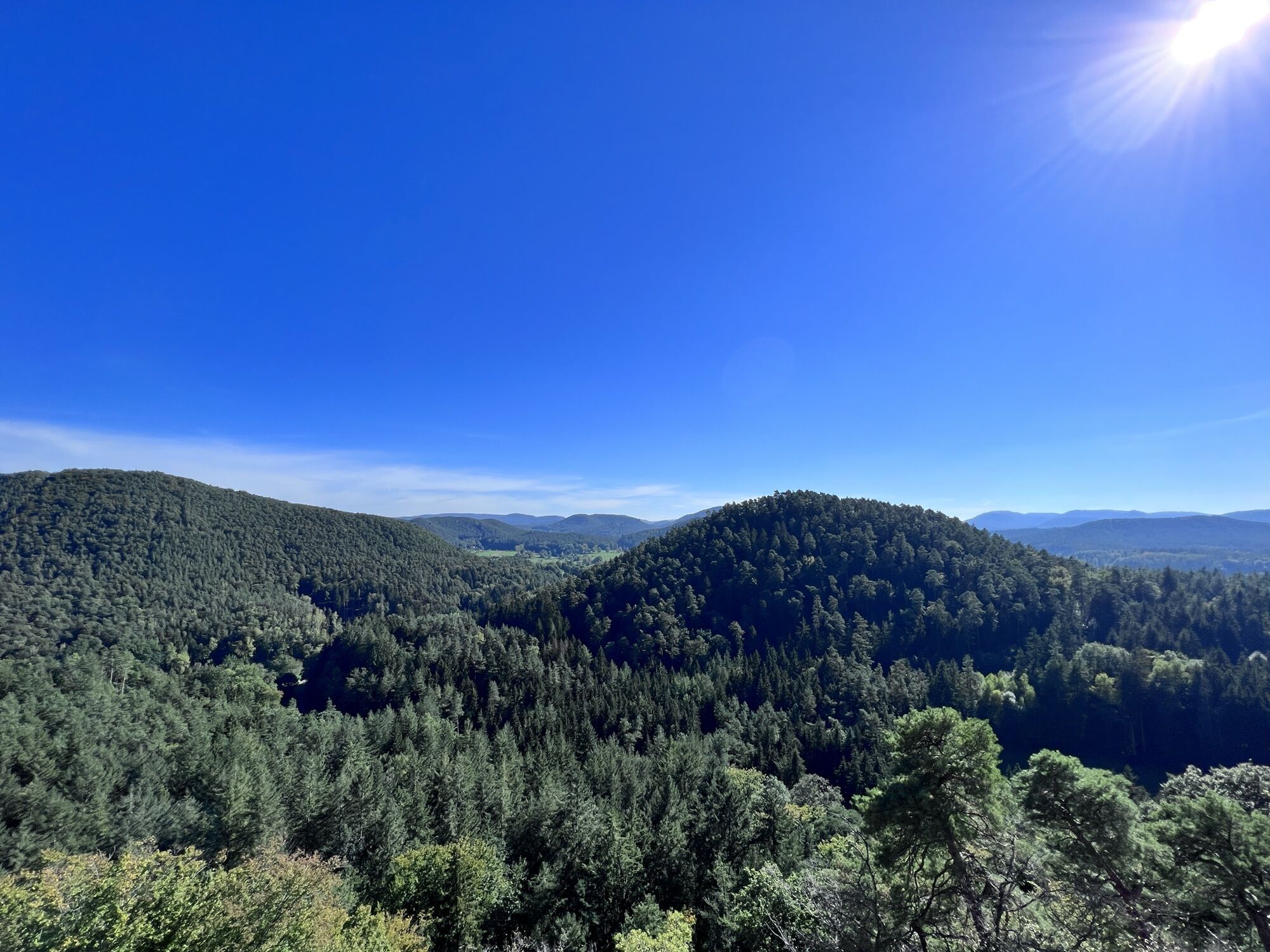
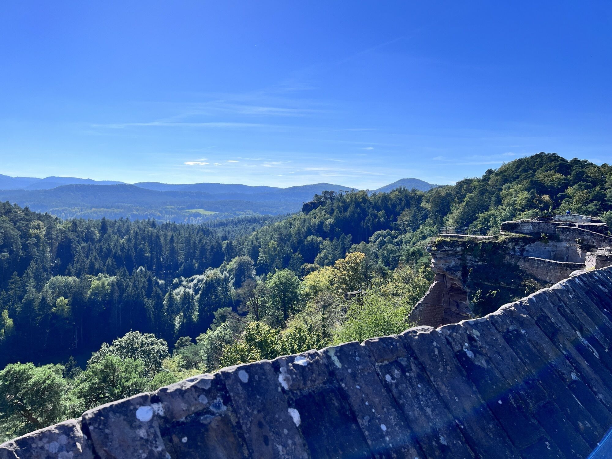
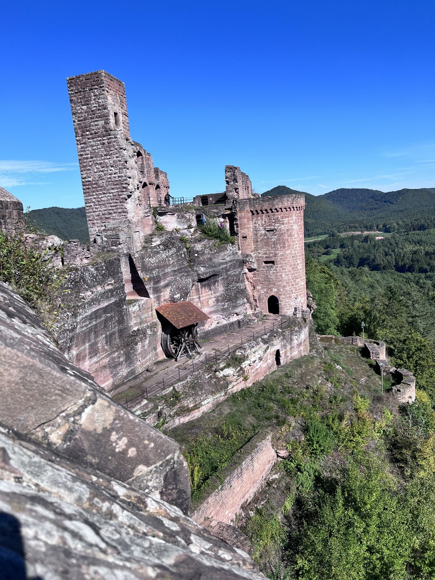
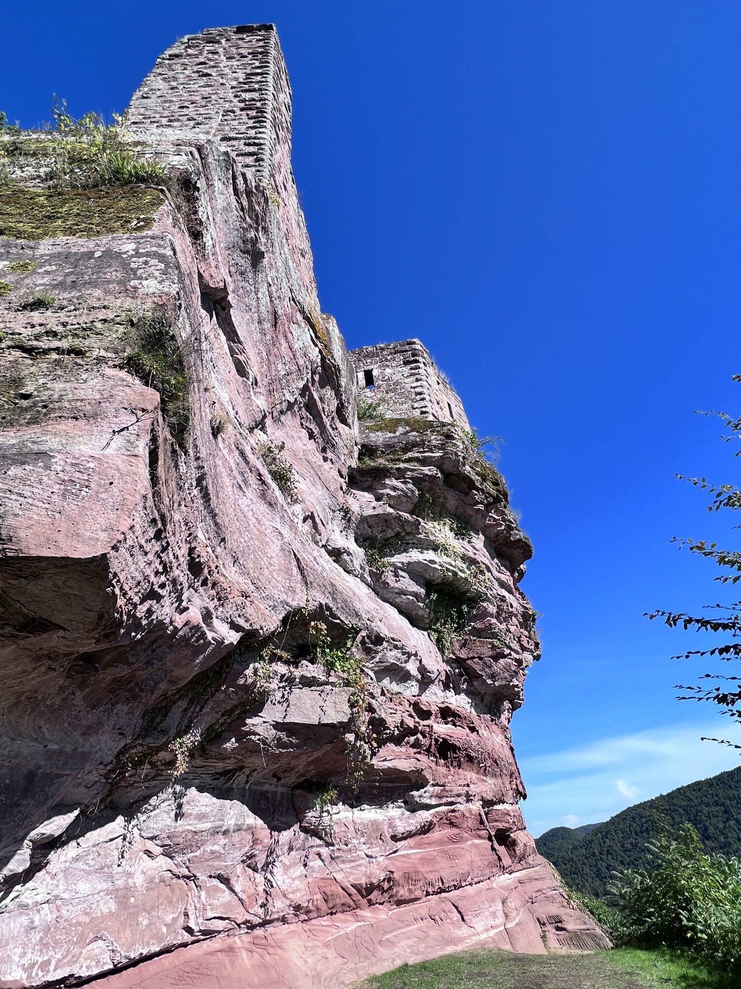
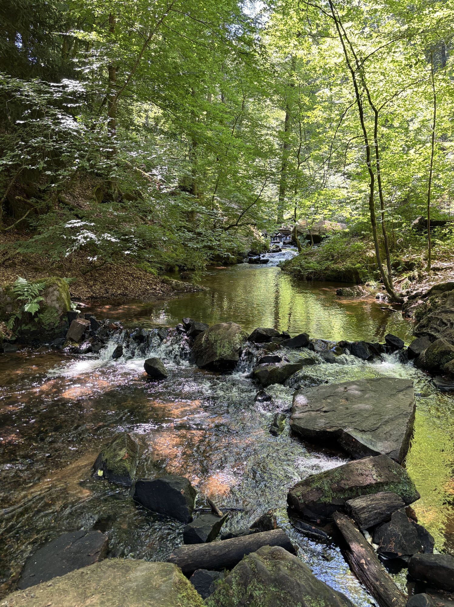
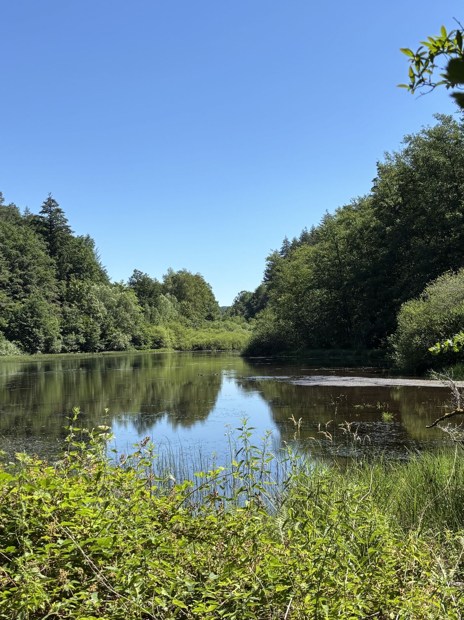
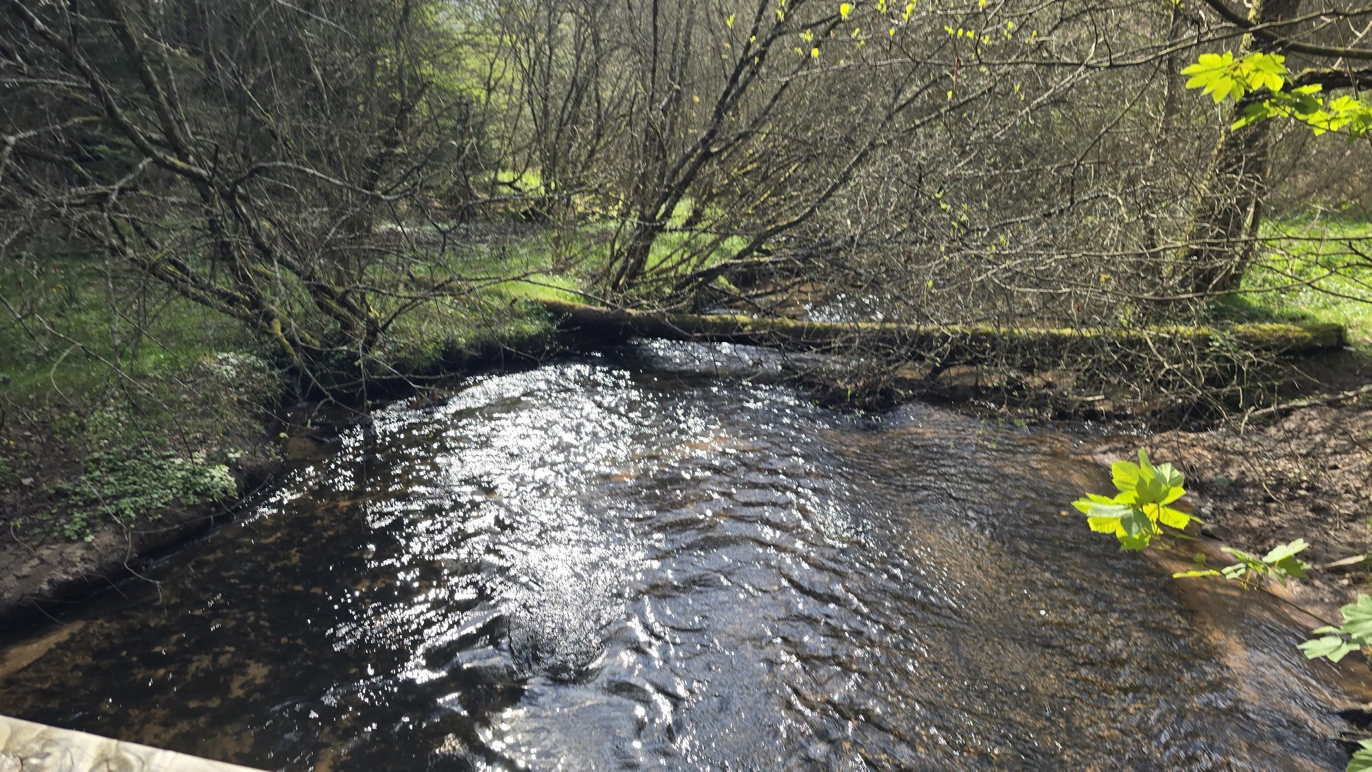
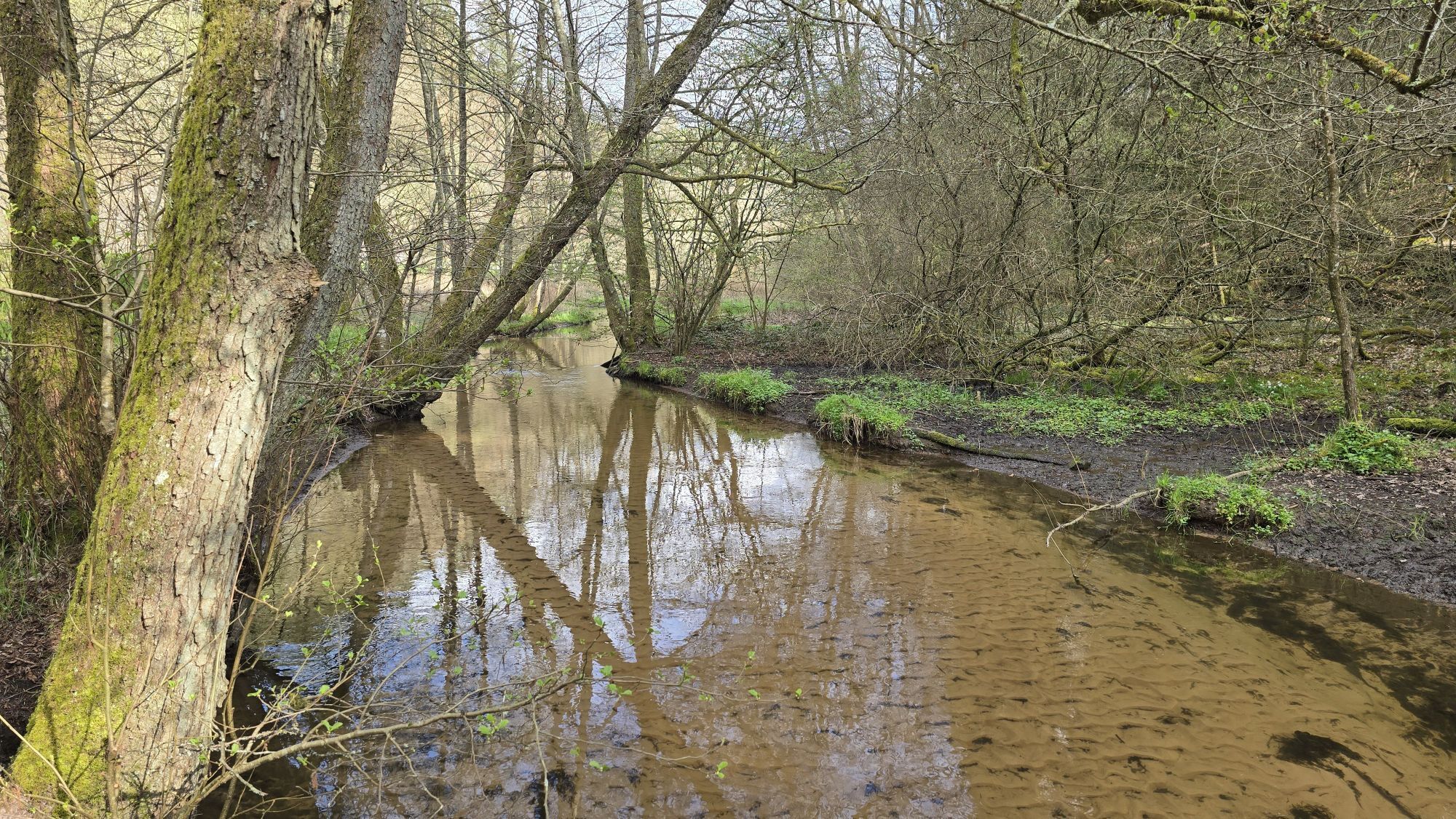
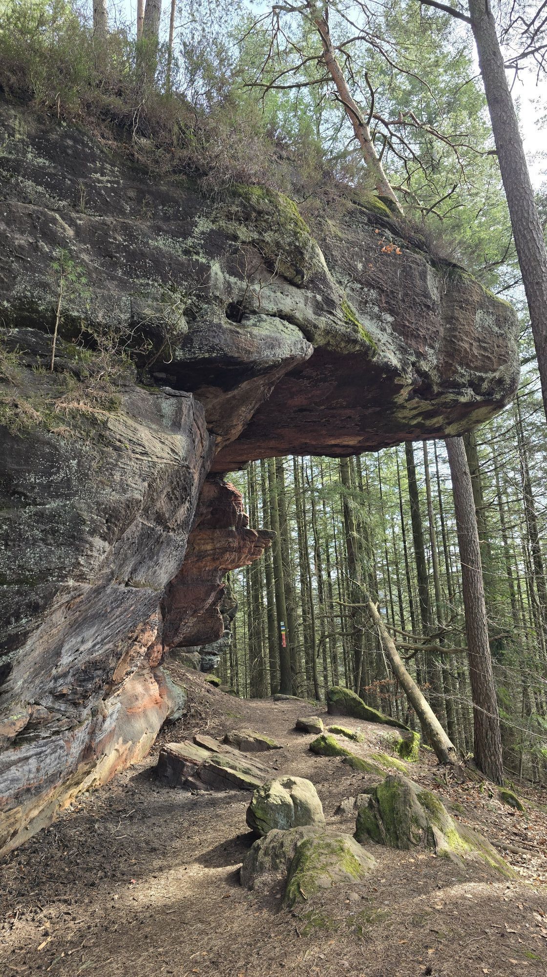
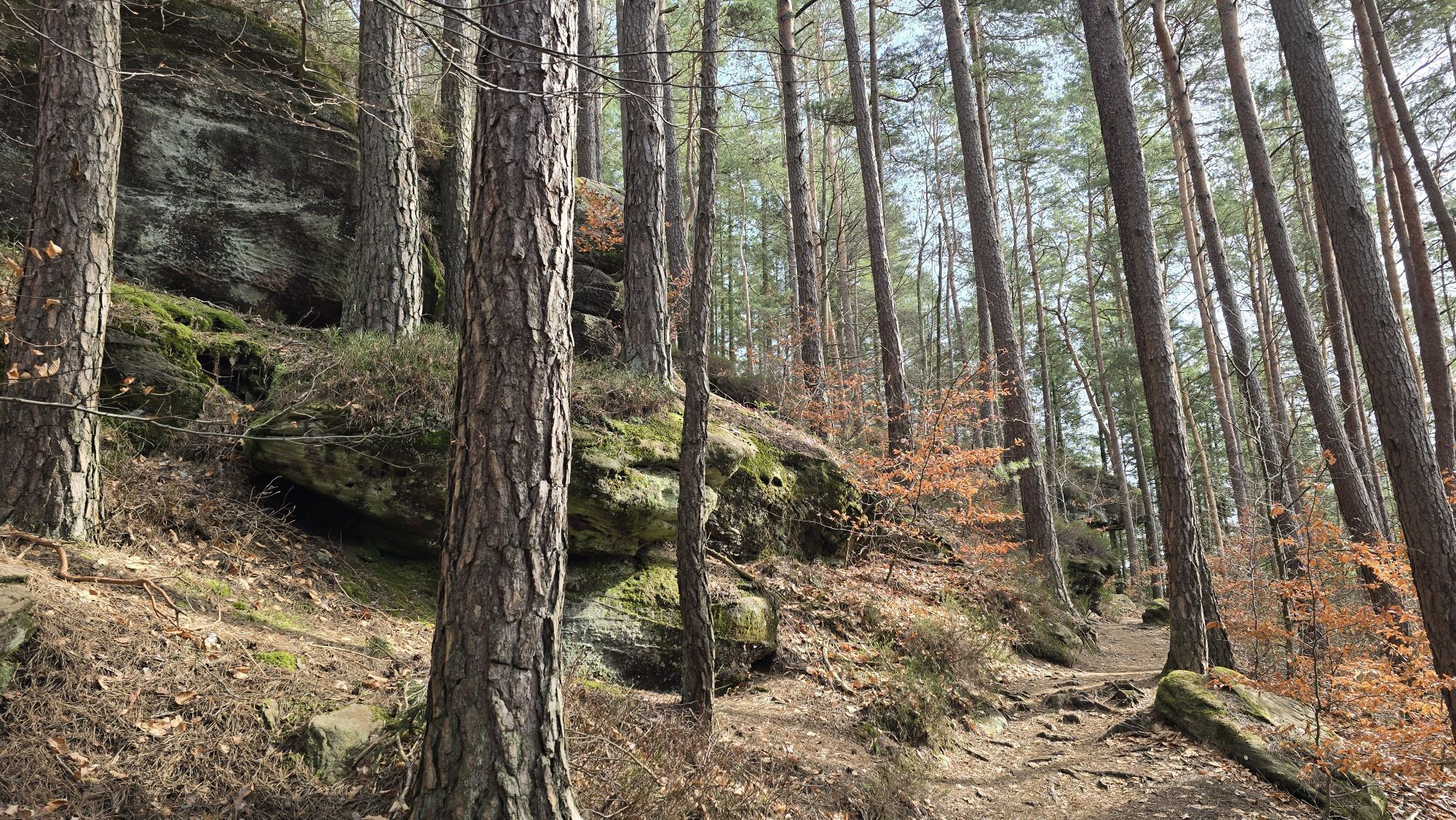
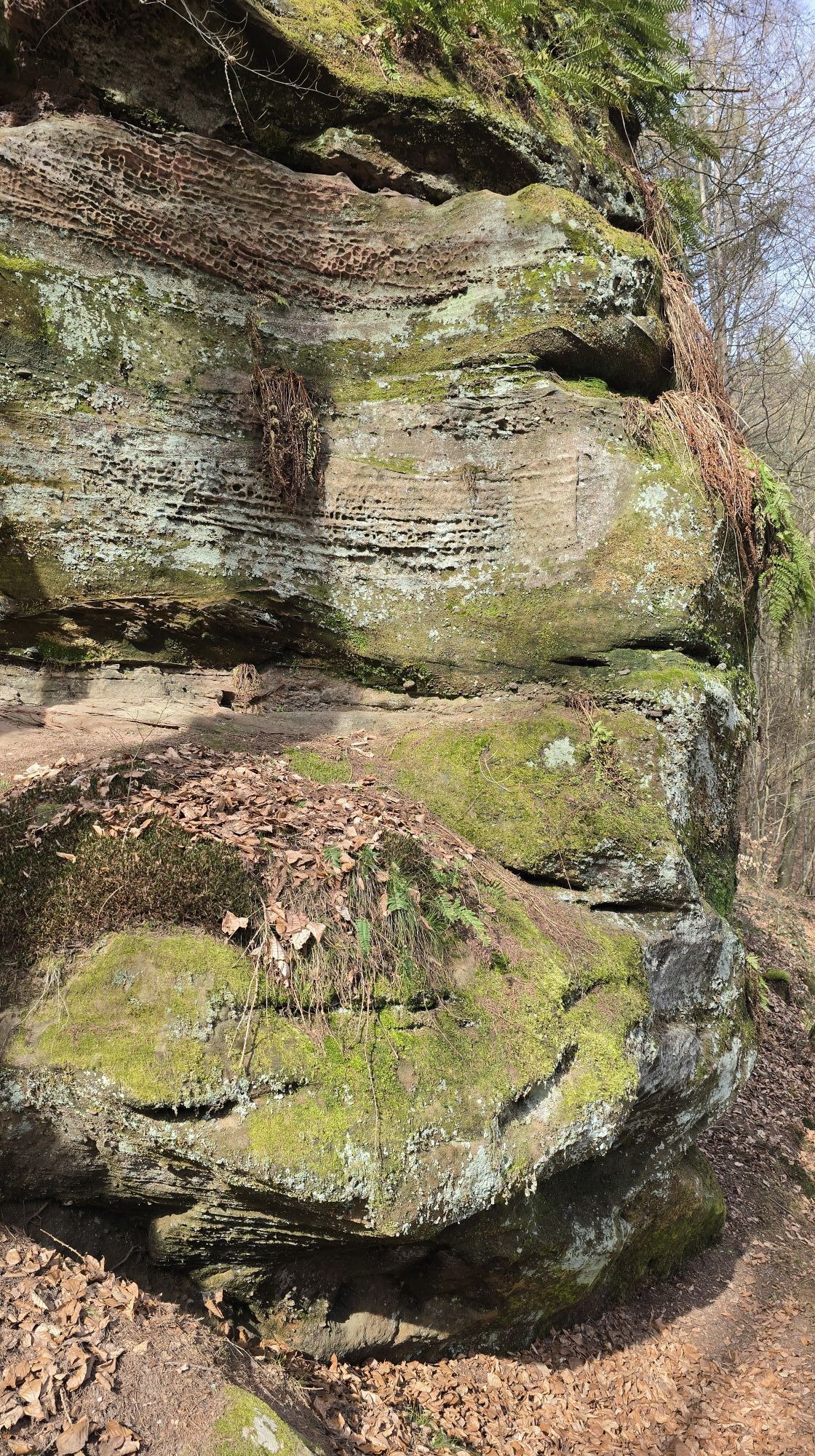
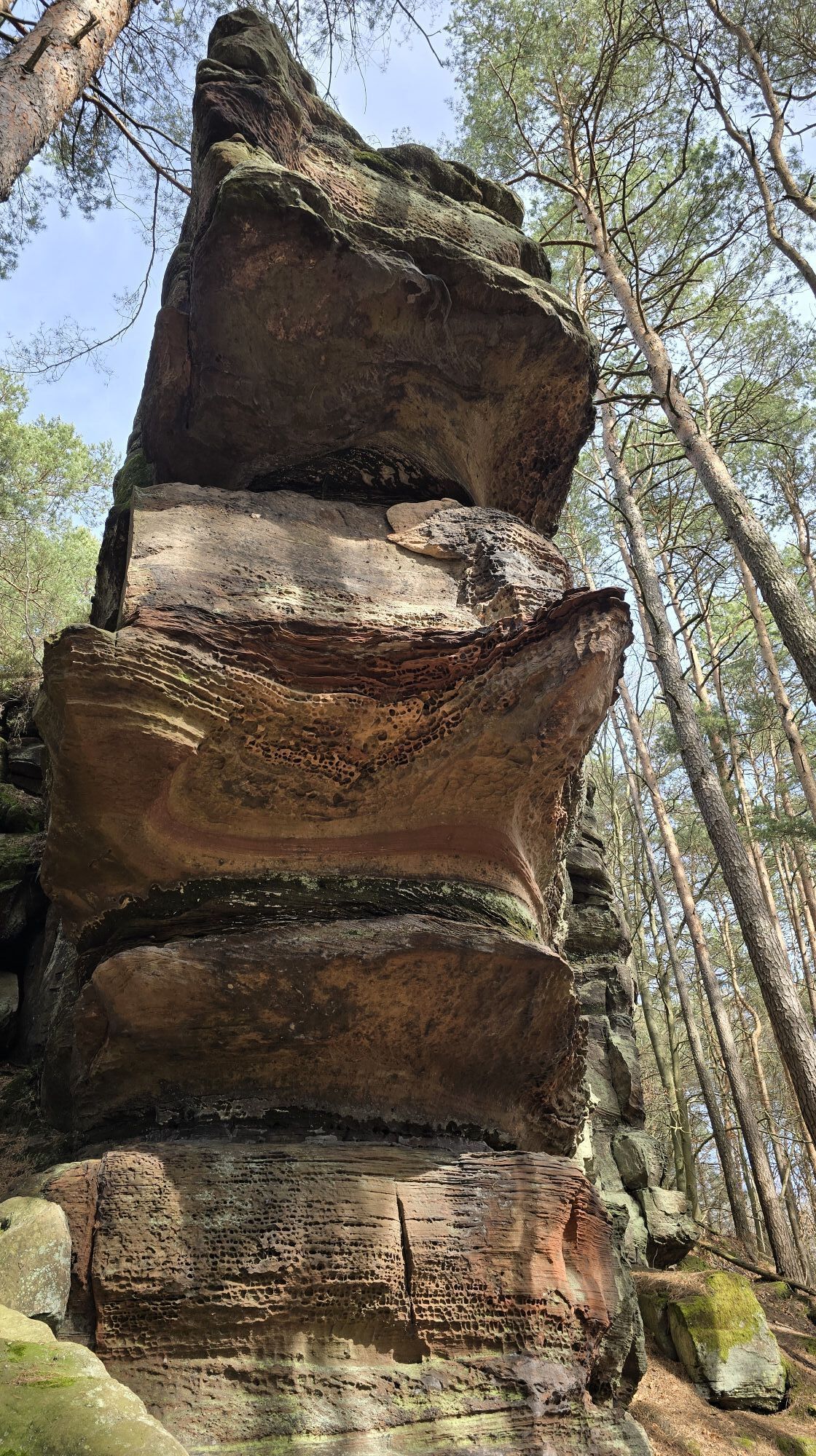
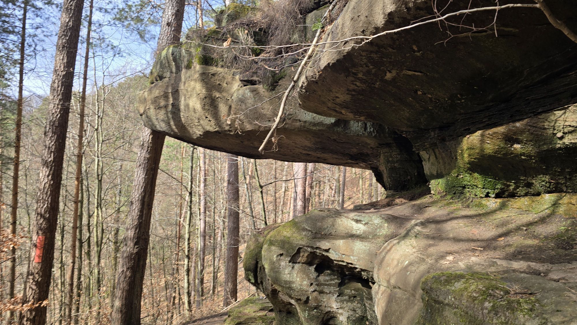
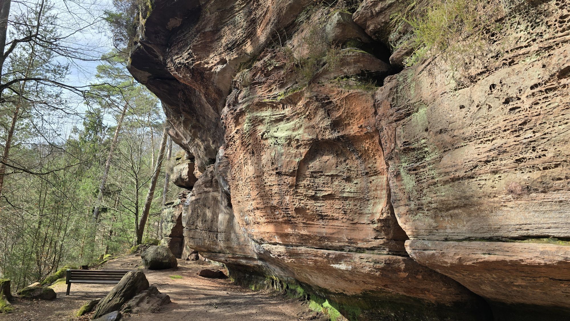
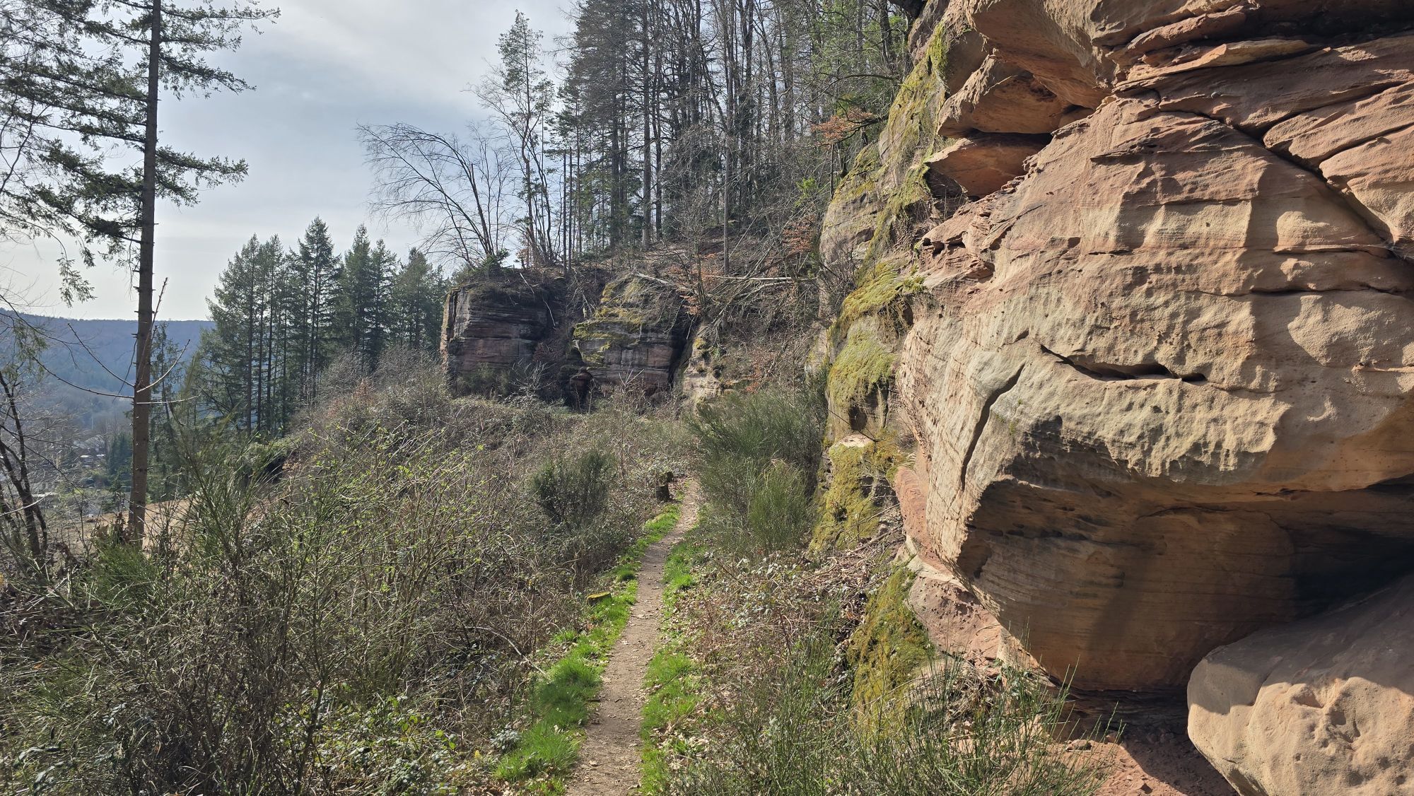
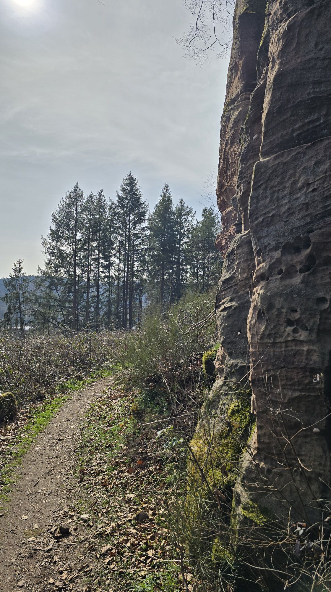
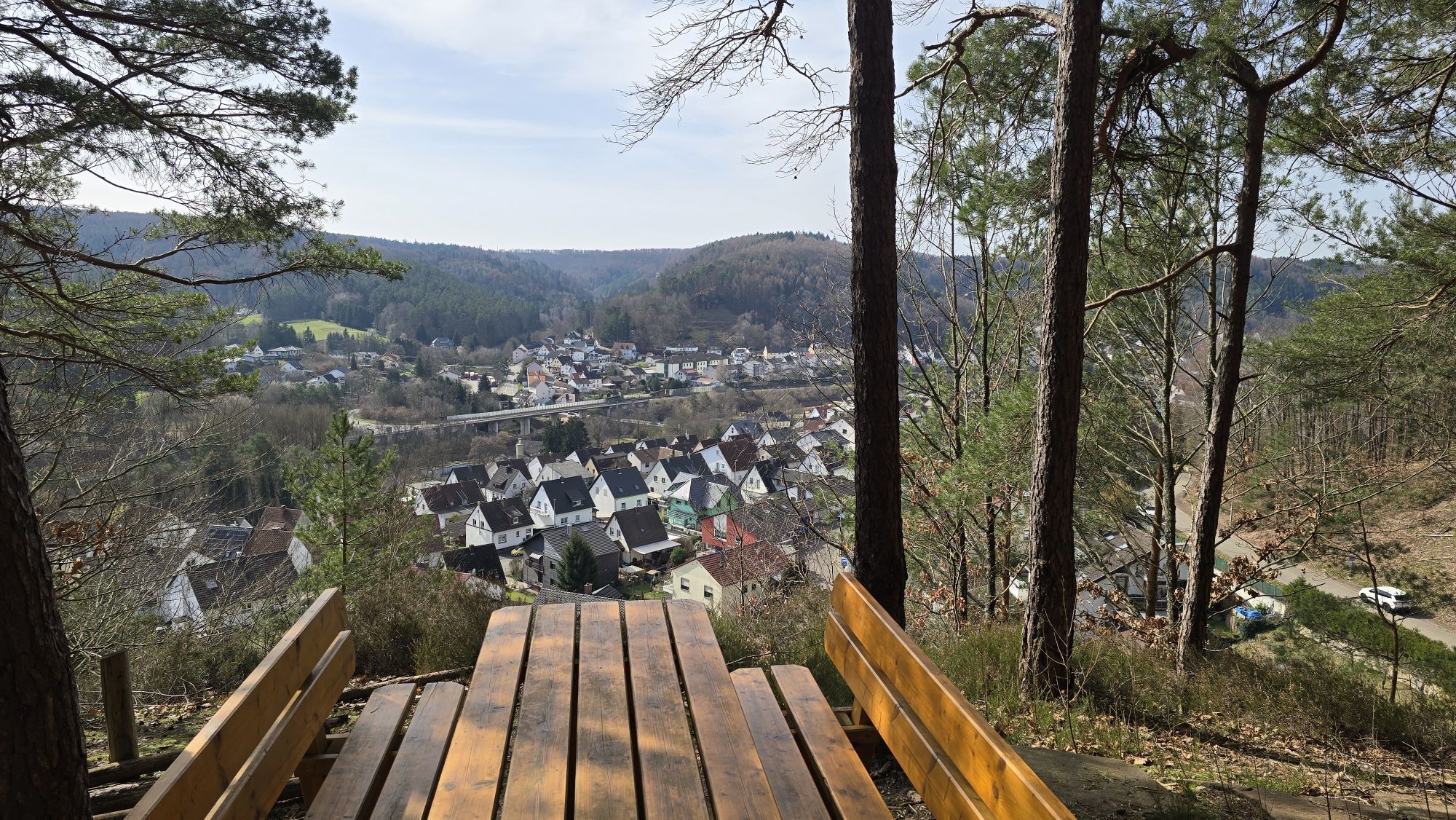
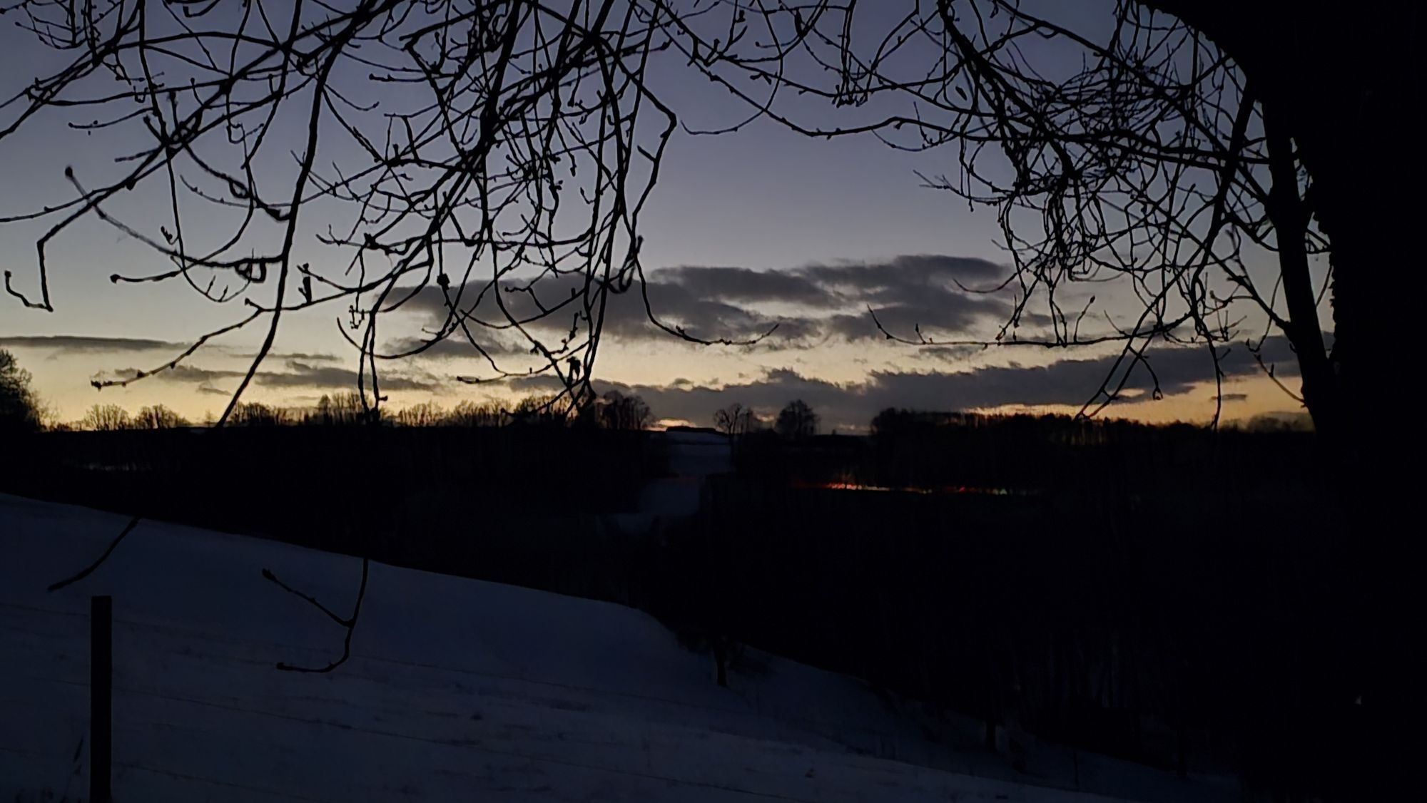
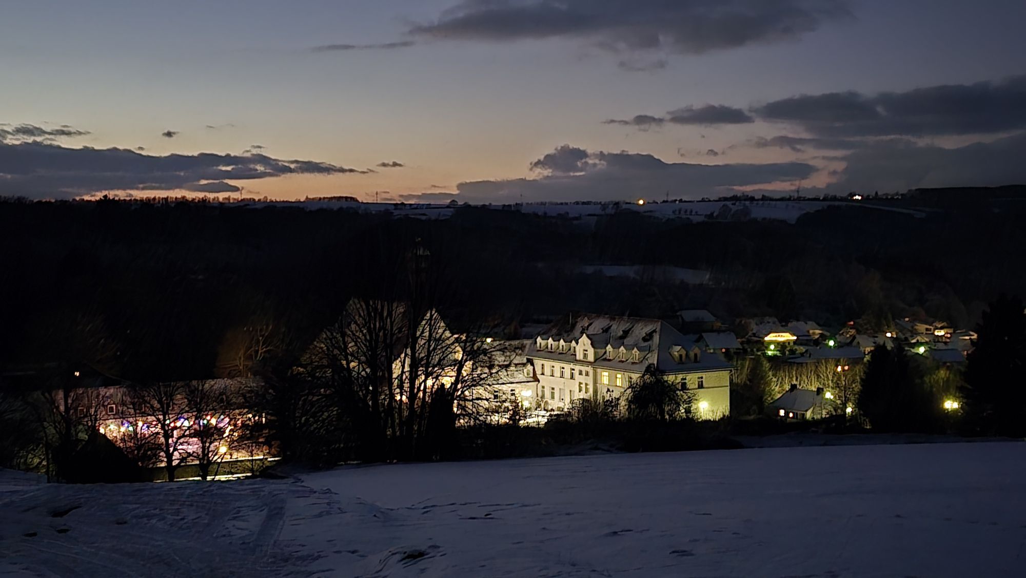
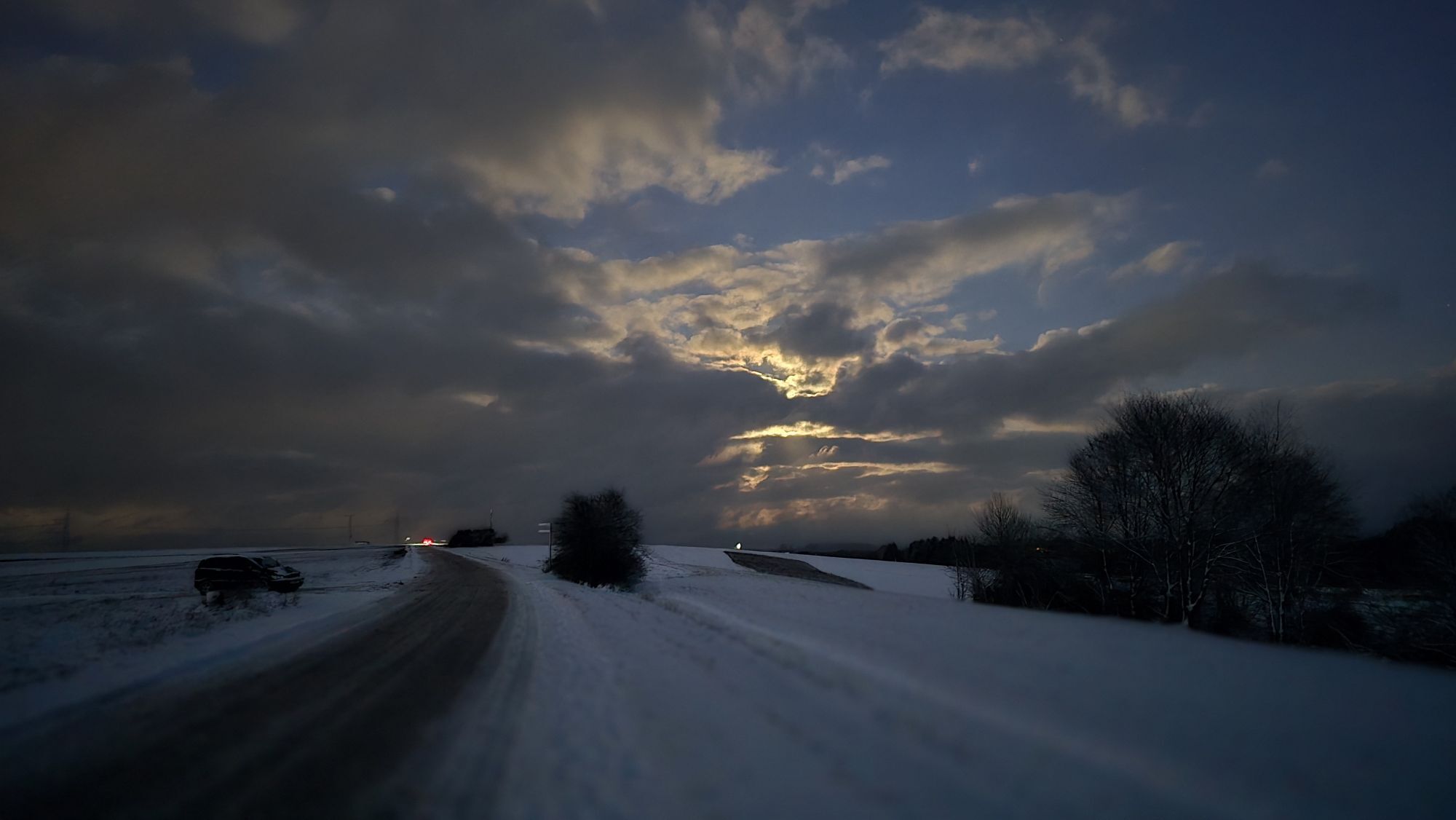
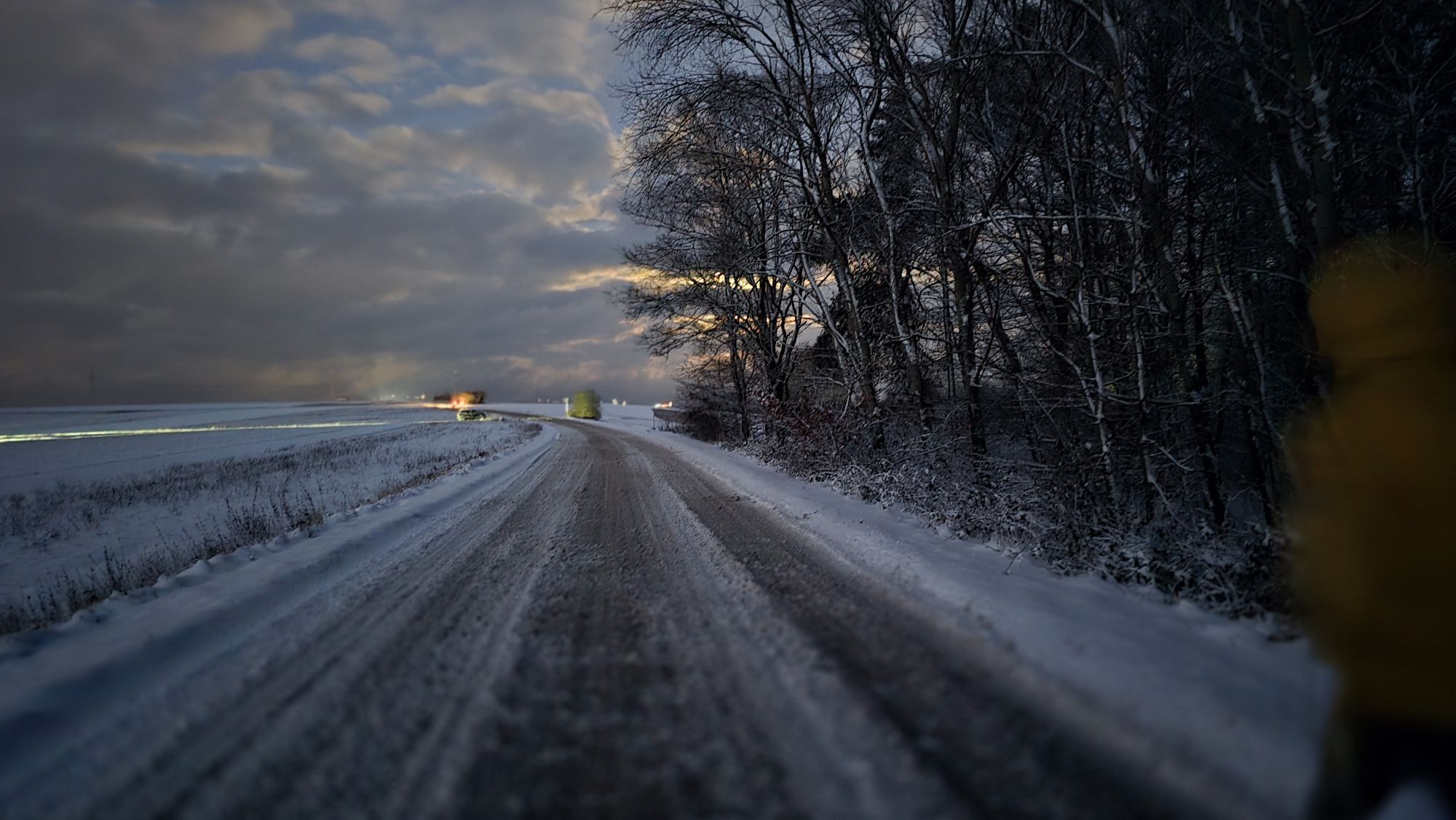
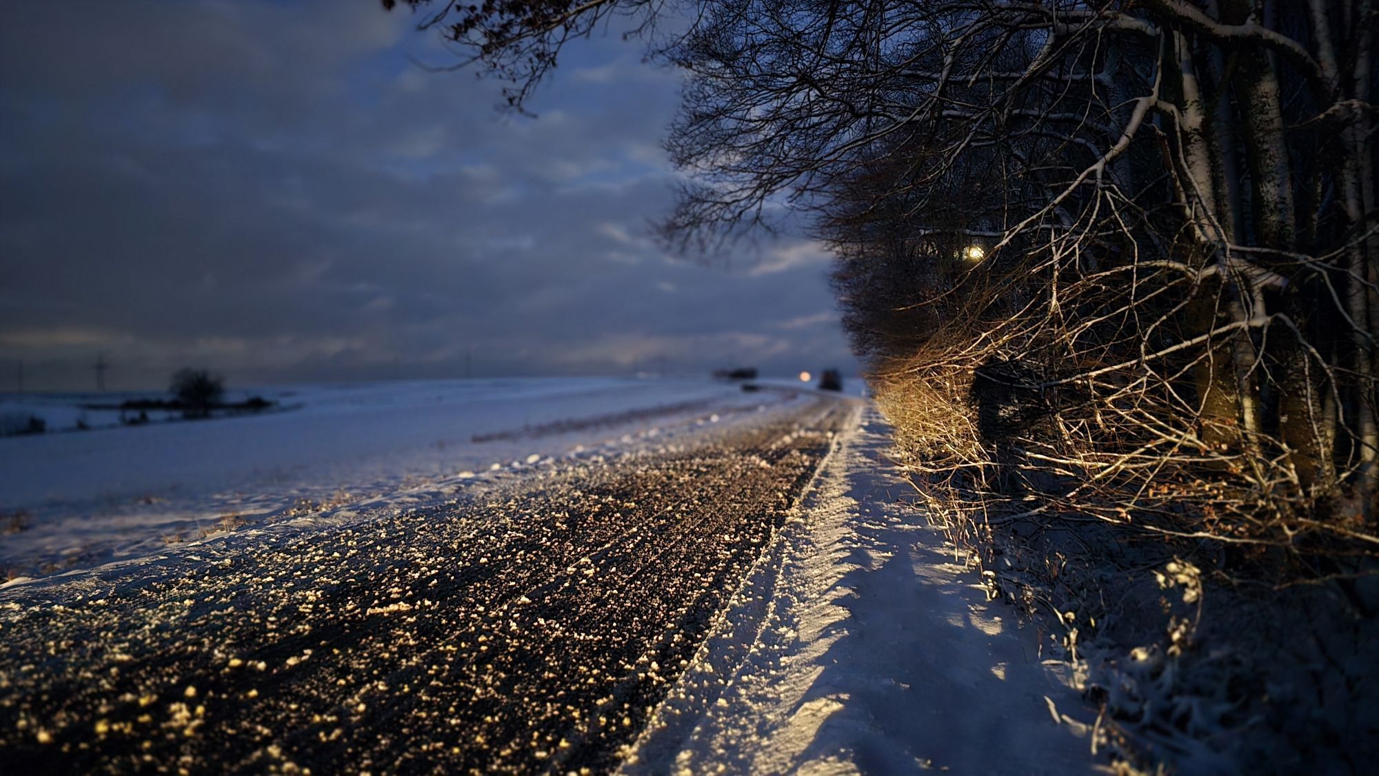
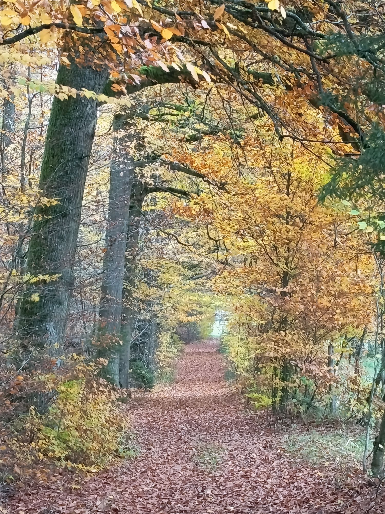
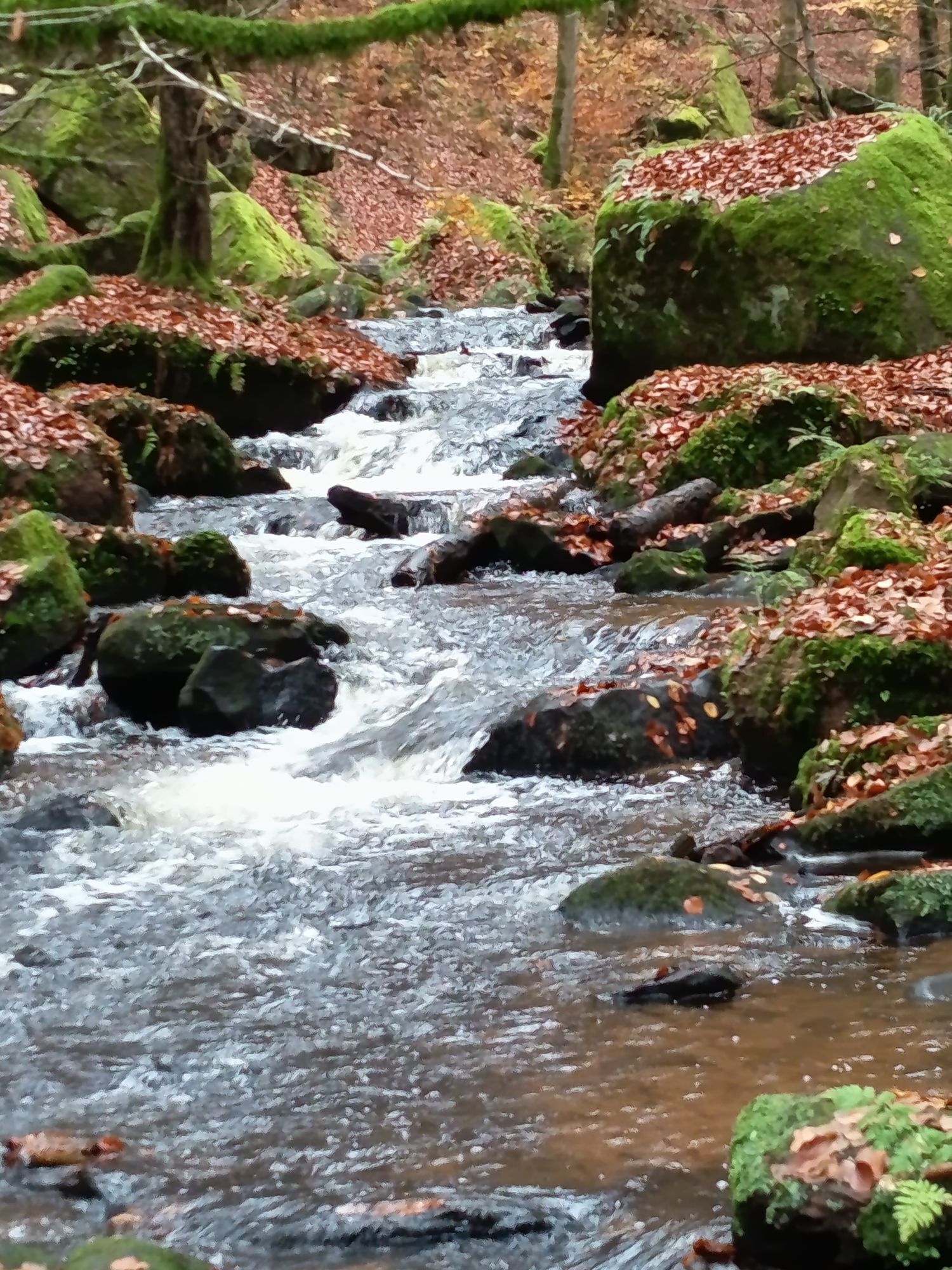
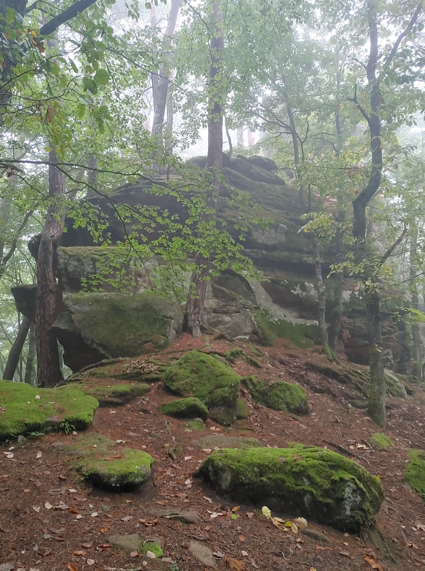
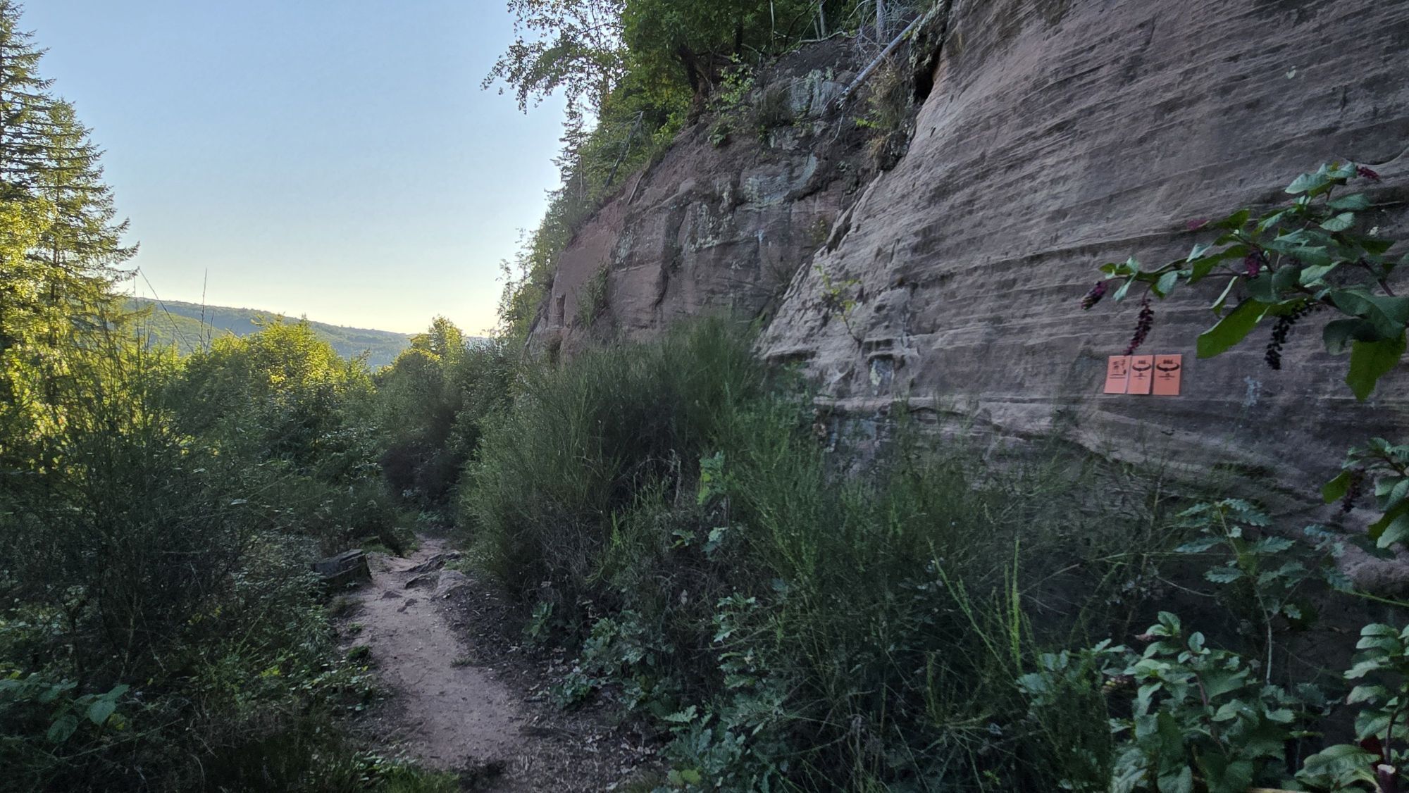
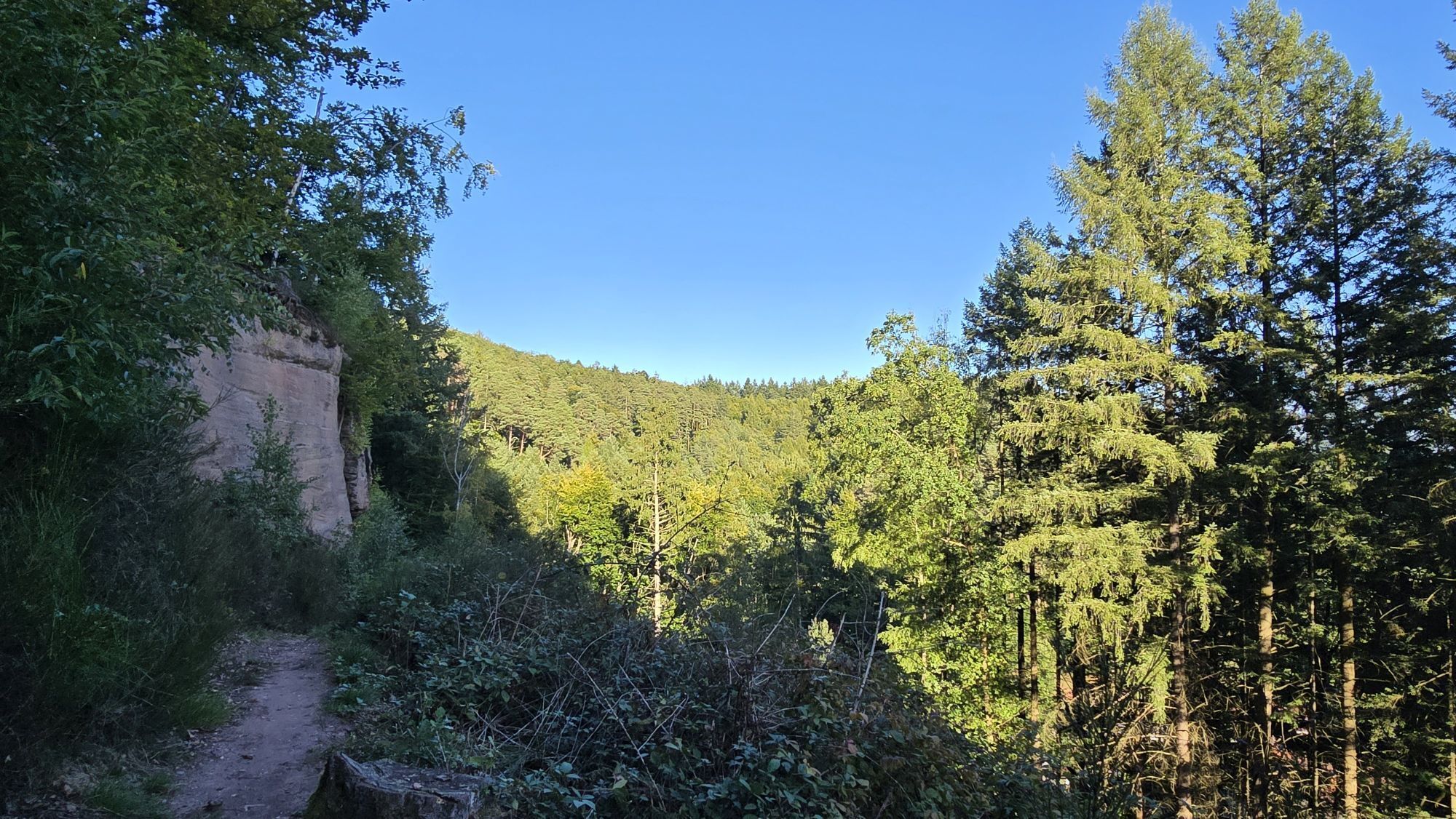
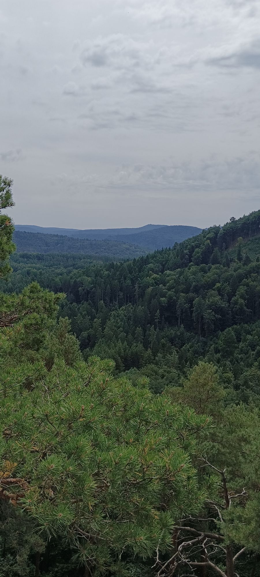
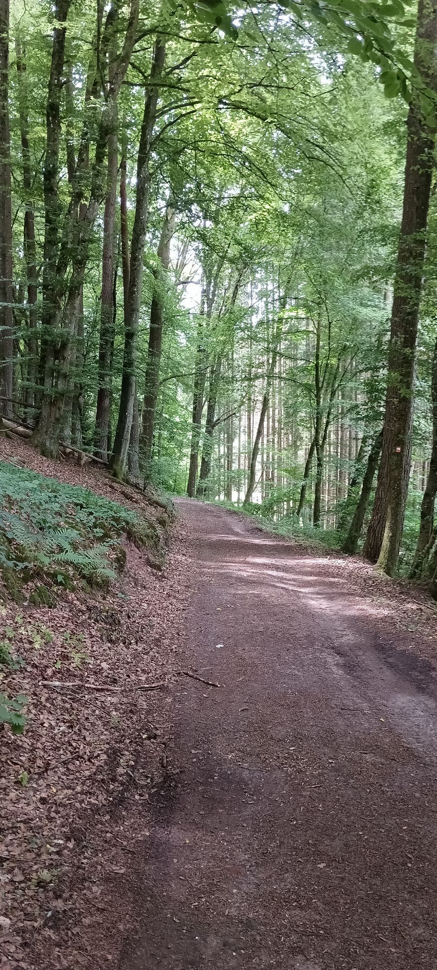
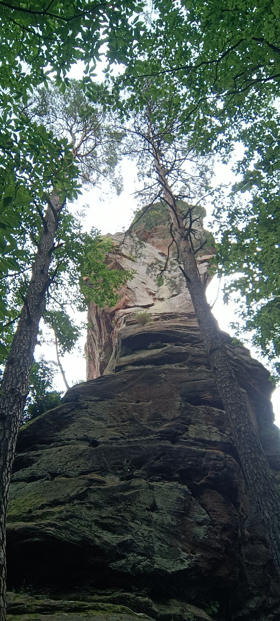

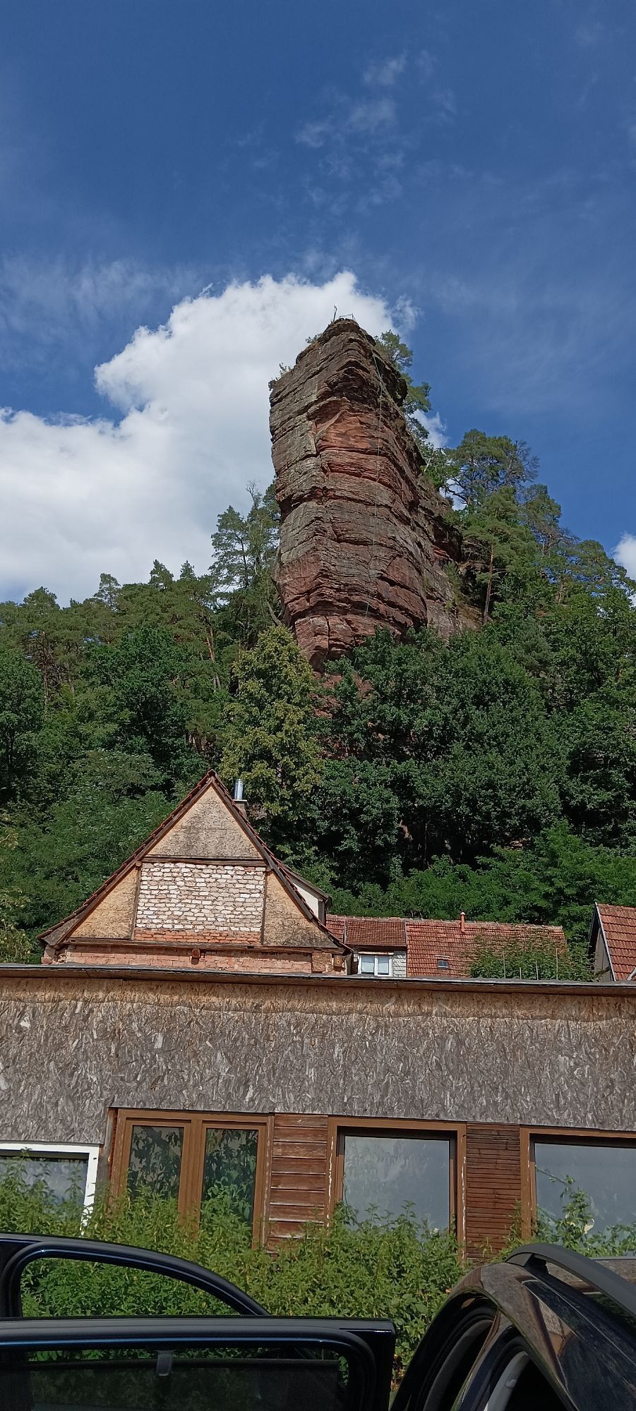


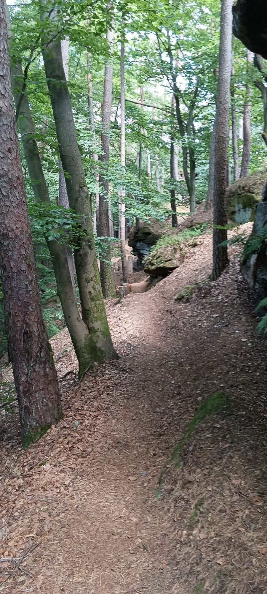

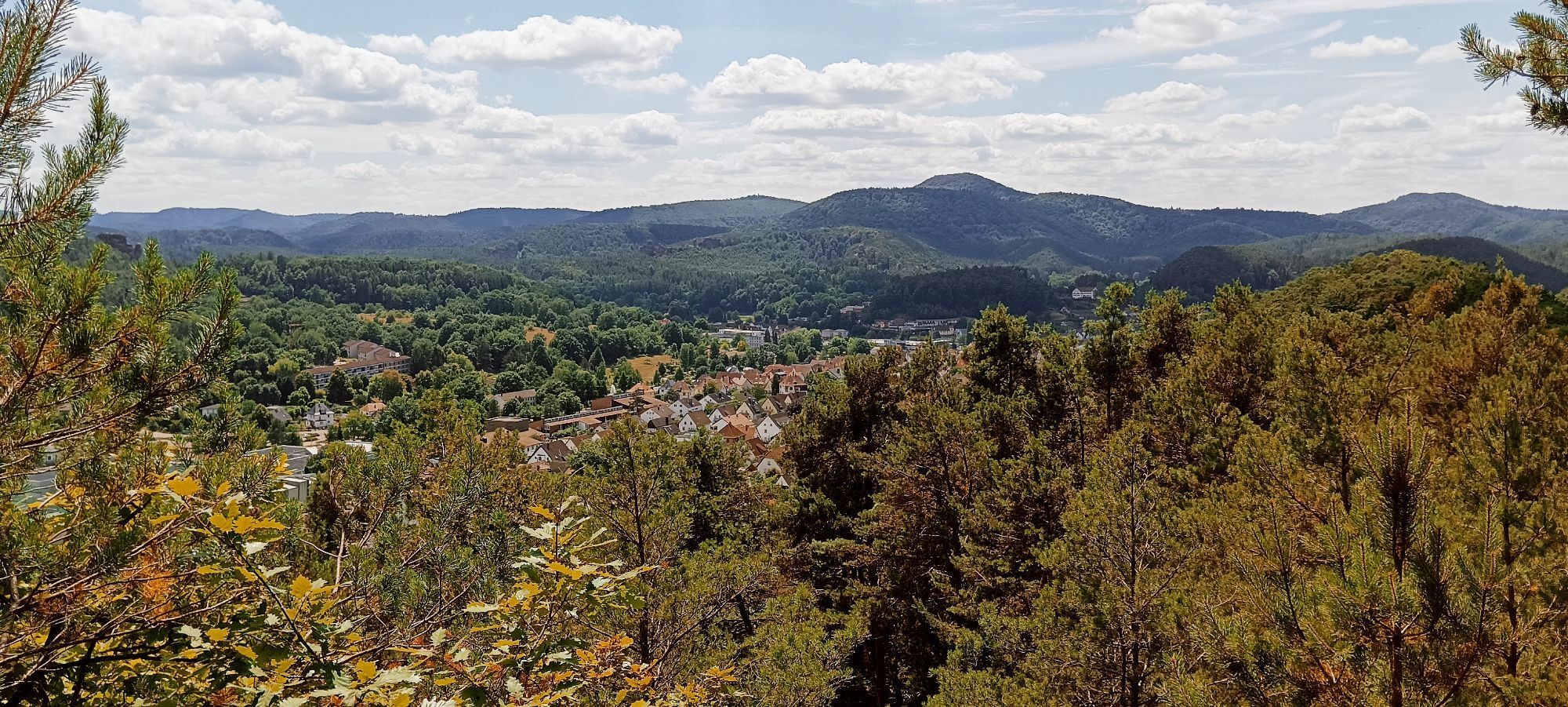
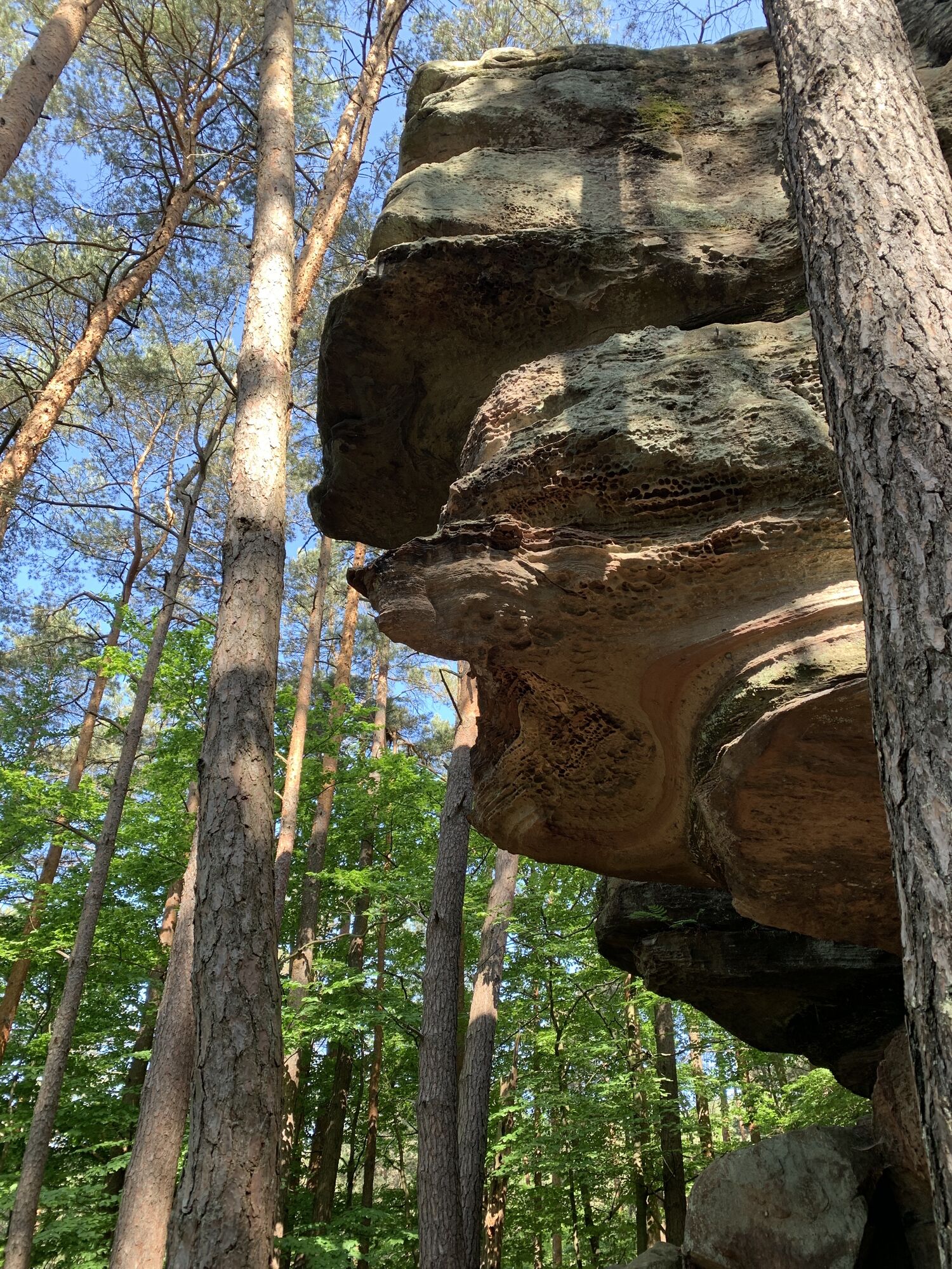
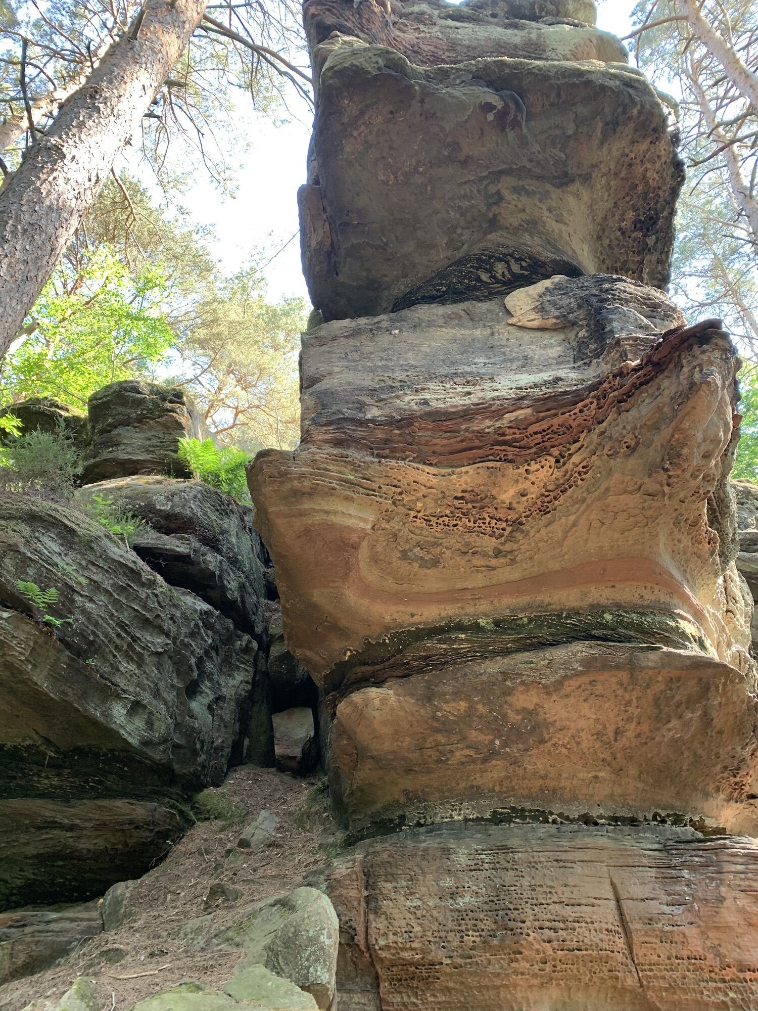
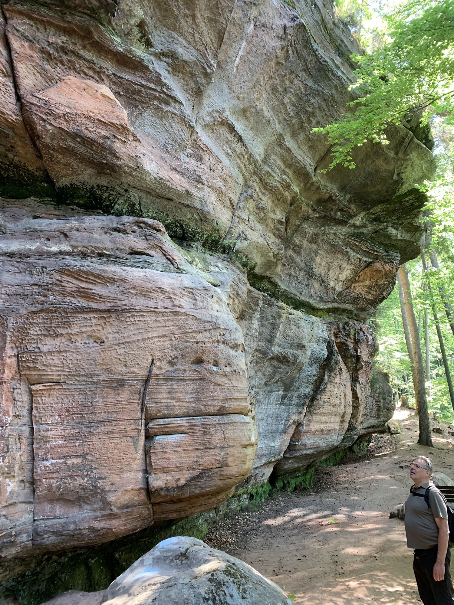
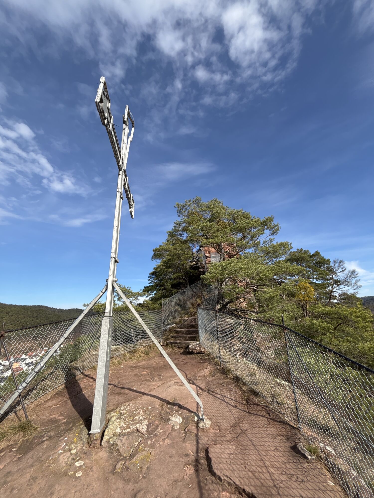
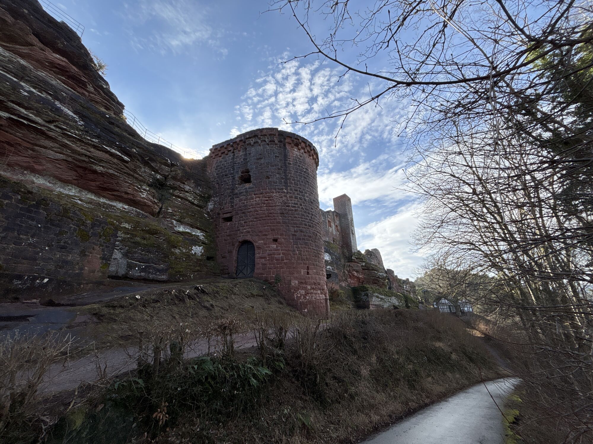
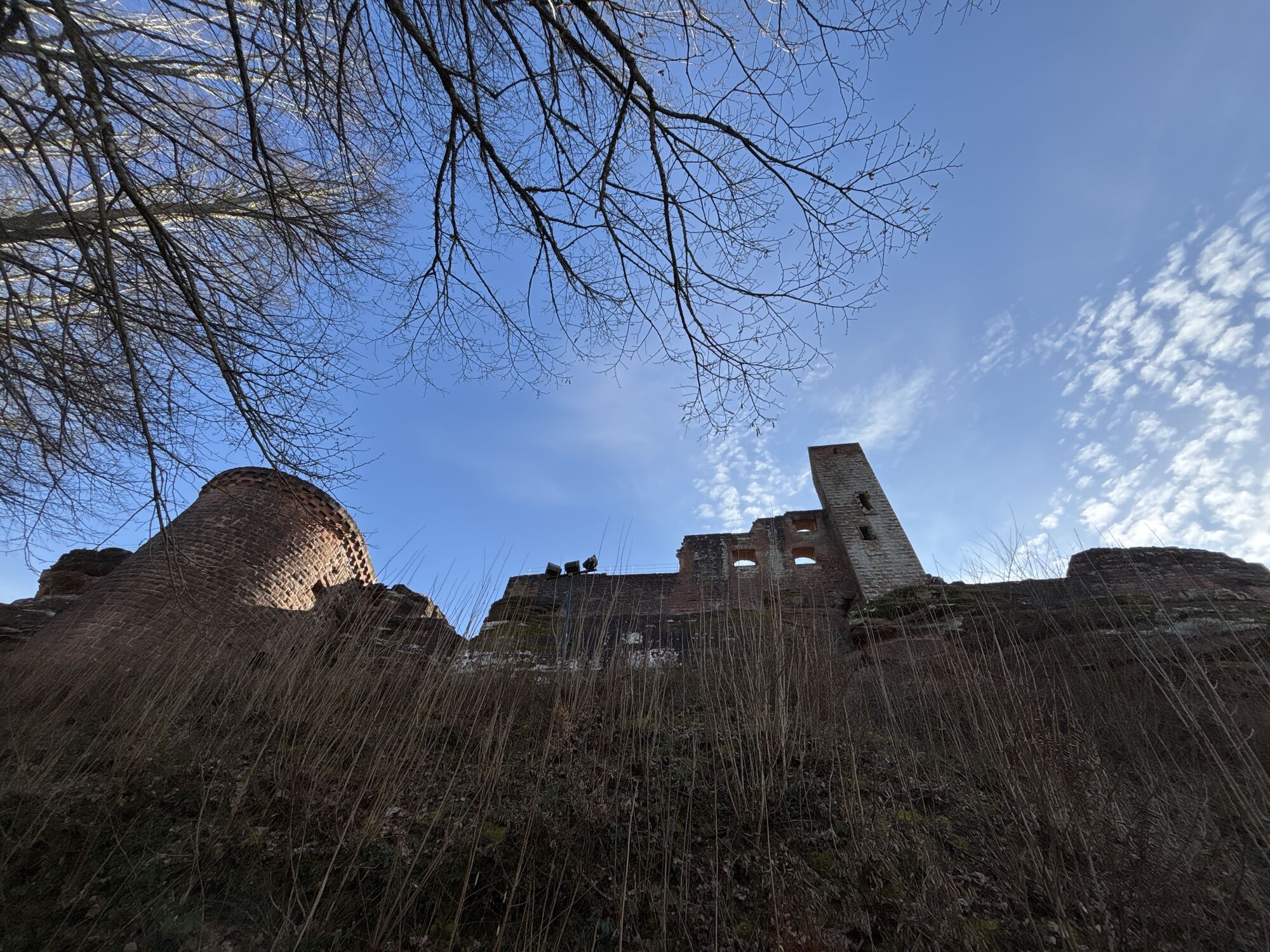
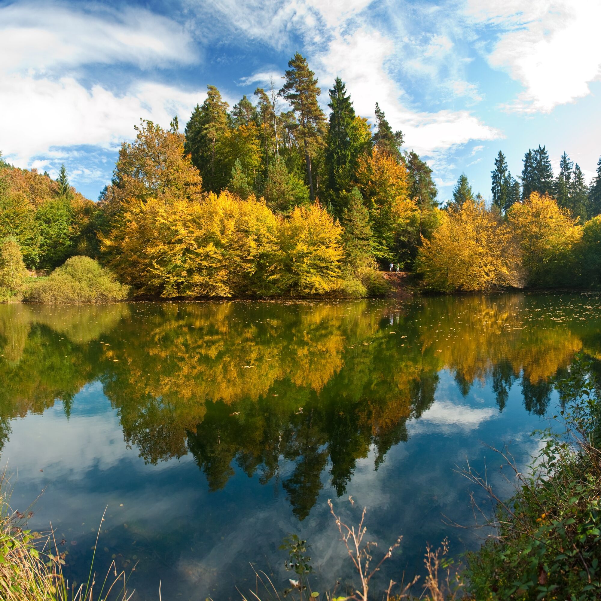
Forest idyll as far as the eye can see! The Pfälzer Waldpfad crosses the UNESCO Biosphere Reserve Palatinate Forest/North Vosges in 9 stages from Kaiserslautern to Schweigen-Rechtenbach on the German Wine...
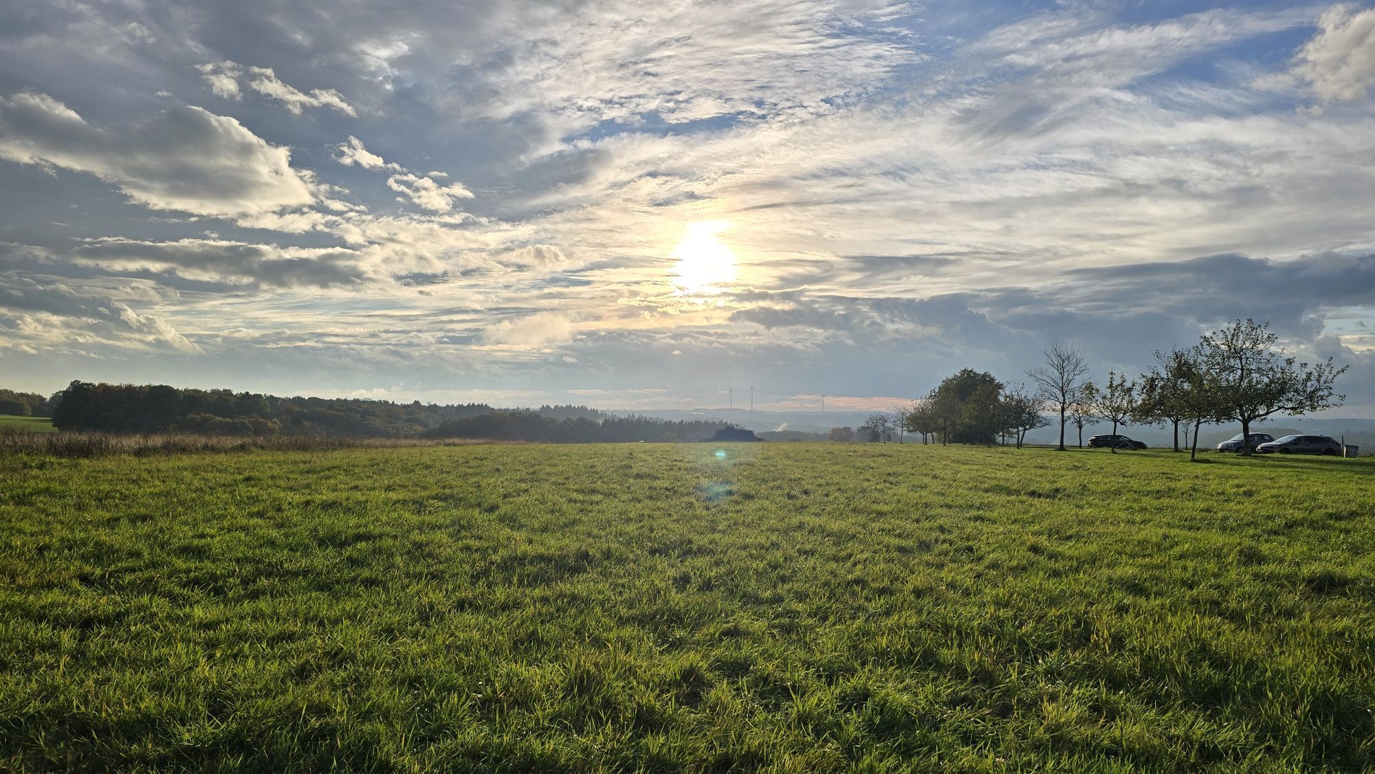
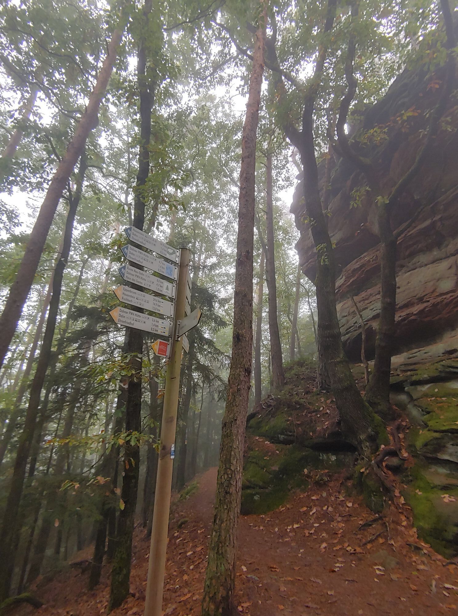
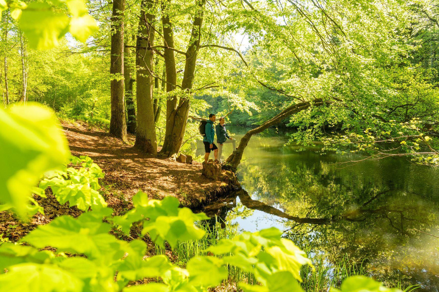
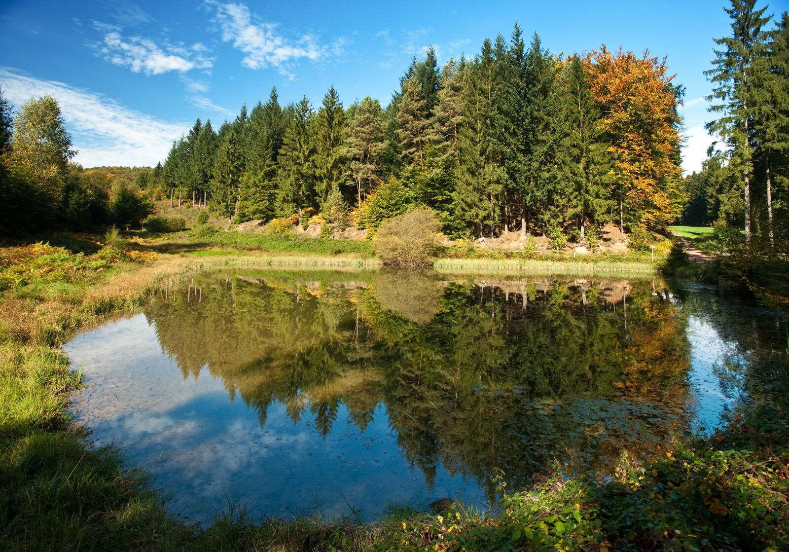
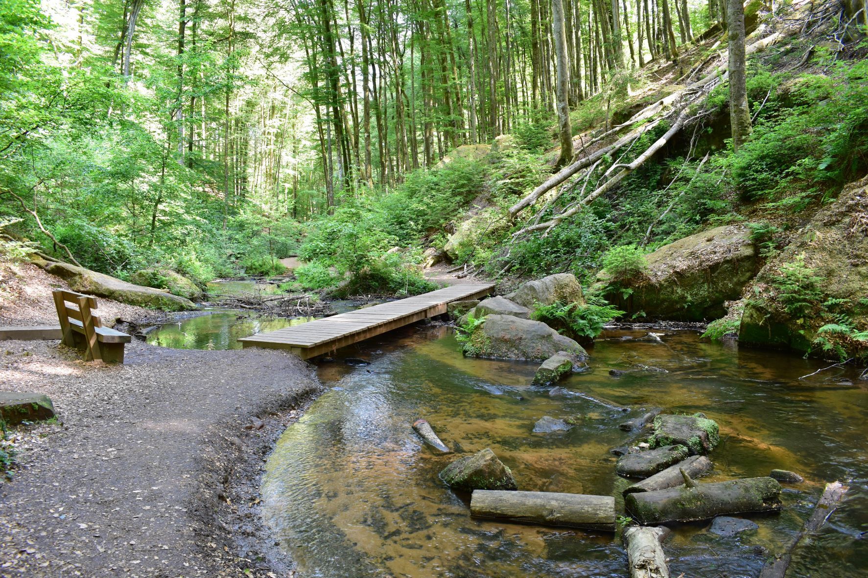
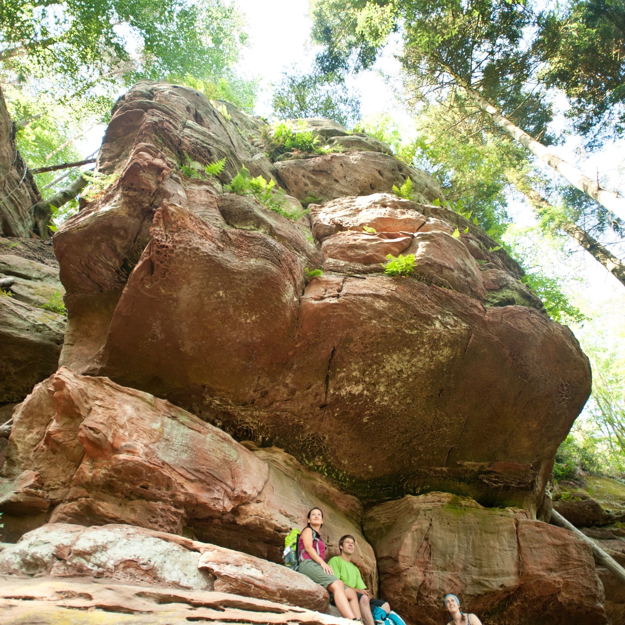
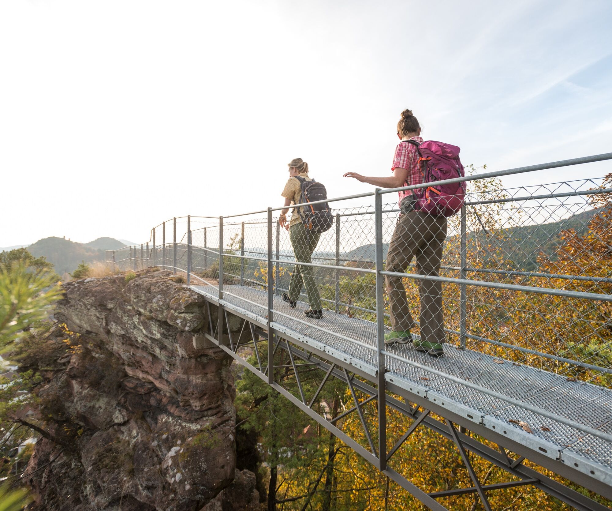
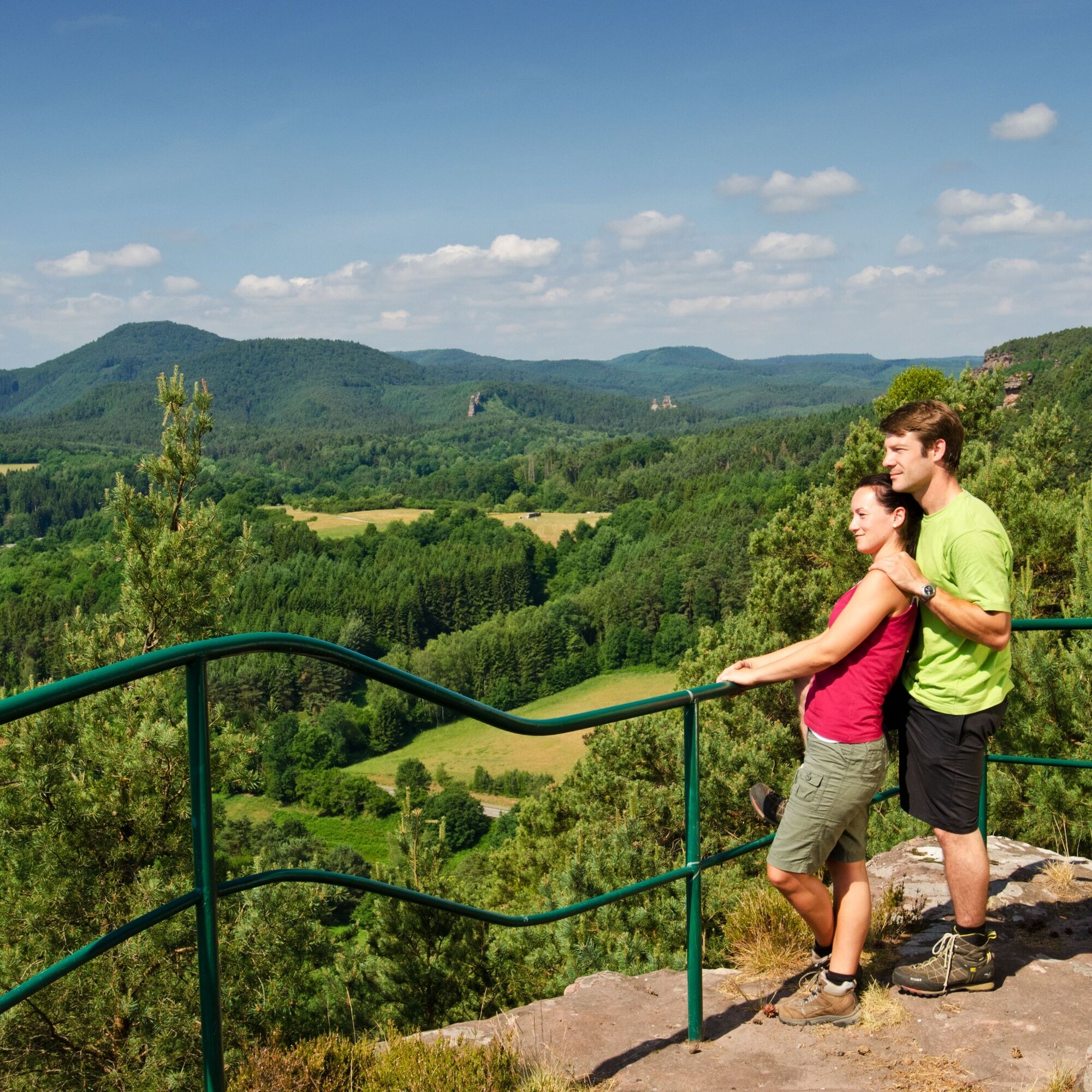
Forest idyll as far as the eye can see! The Pfälzer Waldpfad crosses the UNESCO Biosphere Reserve Palatinate Forest/North Vosges in 9 stages from Kaiserslautern to Schweigen-Rechtenbach on the German Wine Route. Untouched nature, impressive silence, and breathtaking sandstone rock formations - the Pfälzer Waldpfad is a hiking path to recharge your energy. The 143 km long route impresses with deeply cut valleys and unique forest idyll. At Johanniskreuz, you can visit the House of Sustainability, which provides exciting information about the relationship between forest and humans. The path continues towards Rodalben, and with each new stage, new views and forest sights open up. Arriving in the Dahner Felsenland, the path leads past bizarre colored sandstone rocks, through a wild romantic landscape, and unnoticed for a stretch through France. The Pfälzer Waldpfad ends at Schweigen-Rechtenbach at the German Wine Gate, where it meets the Pfälzer Weinsteig.
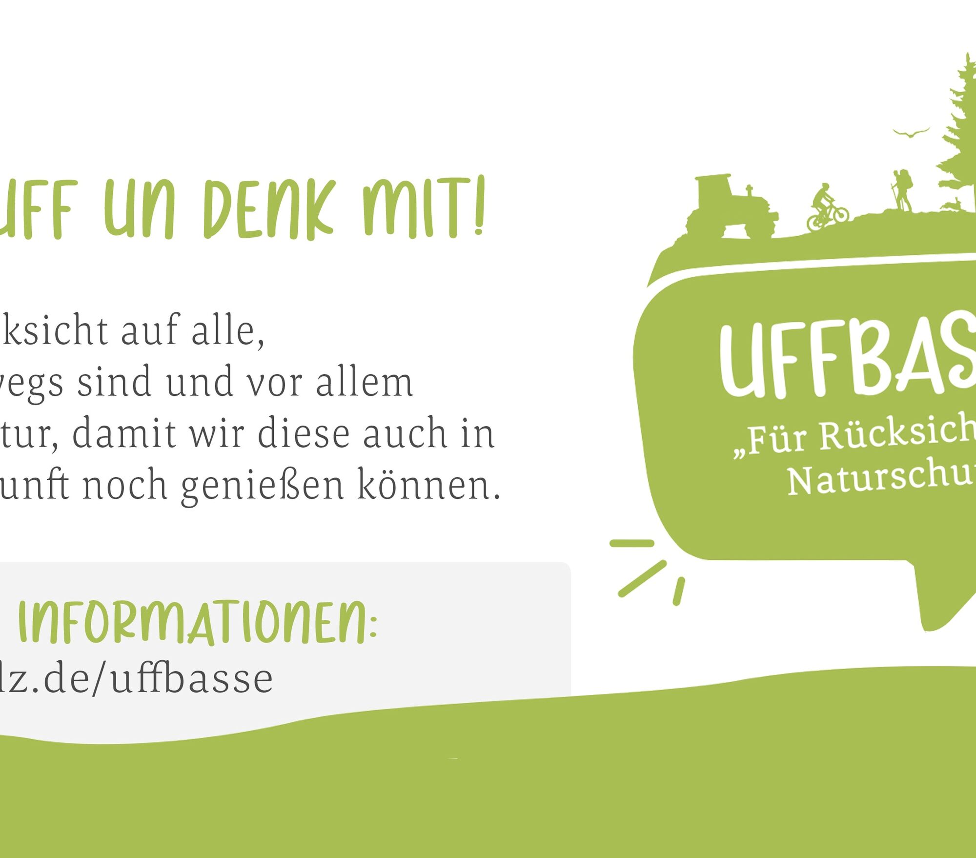
UFFBASSE! - Campaign for respectful coexistence in nature
Fire & Smoking - Making fire, smoking, and grilling are strictly prohibited in the forest and must be absolutely avoided! Fires and thus great damage to nature and wildlife can only be prevented this way. Considerate behavior - Always behave prudently, kindly, and considerately towards everyone you meet. Nature conservation - Stay on designated paths and avoid unnecessary noise when you are in nature. Leave the forest by dusk at the latest to avoid disturbing the rhythm of nocturnal animals. Picnic & Trash - Bring a garbage bag for on the trail and take your waste back home. Use only furnished rest areas for breaks and picnics. Leash your dog - Please keep your dog on a leash at all times. Other visitors and animals will thank you.More information at: www.pfalz.de/uffbasse

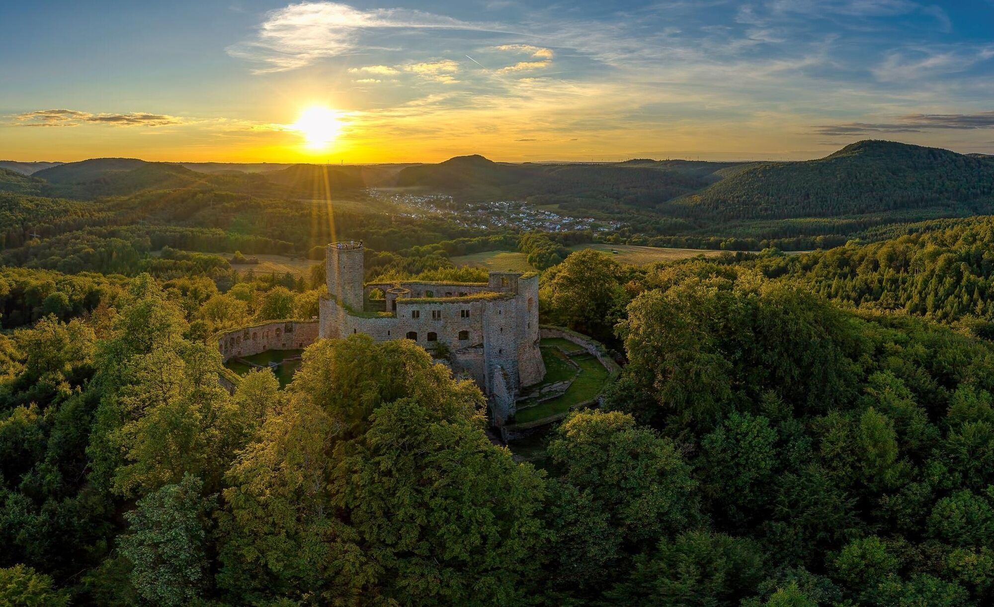


Stage 1: From Kaiserslautern to Finsterbrunnertal
The first stage of the Pfälzer Waldpfad starts at the main station of Kaiserslautern, from where it is not far to the southern outskirts of the city. There we hike uphill through dense forest to the Humberg Tower. The nearly 36 m high observation tower was built in 1900 and offers a fantastic panoramic view of the northern Palatinate Forest, the city of Kaiserslautern with the impressive Fritz Walter Stadium, and as far as the Donnersberg, the highest mountain in the Palatinate. The route continues through the forest over the ridge to the "Rote Hohl", reminiscent of an old crossroads at the mountain pass between Kaiserslautern and the Aschbach valley. After skirting the outskirts of Dansenberg, we descend into the Aschbach valley, walking past the Jagdhausweiher pond. Near the houses of Alte Schmelz, the route leads us up to the height of the Blaukopf and then down into the valley of the Moosalbe. At the entrance to a small side valley lies our stage destination, the Naturfreundehaus Finsterbrunnertal.
Stage 2: From Finsterbrunnertal to Johanniskreuz
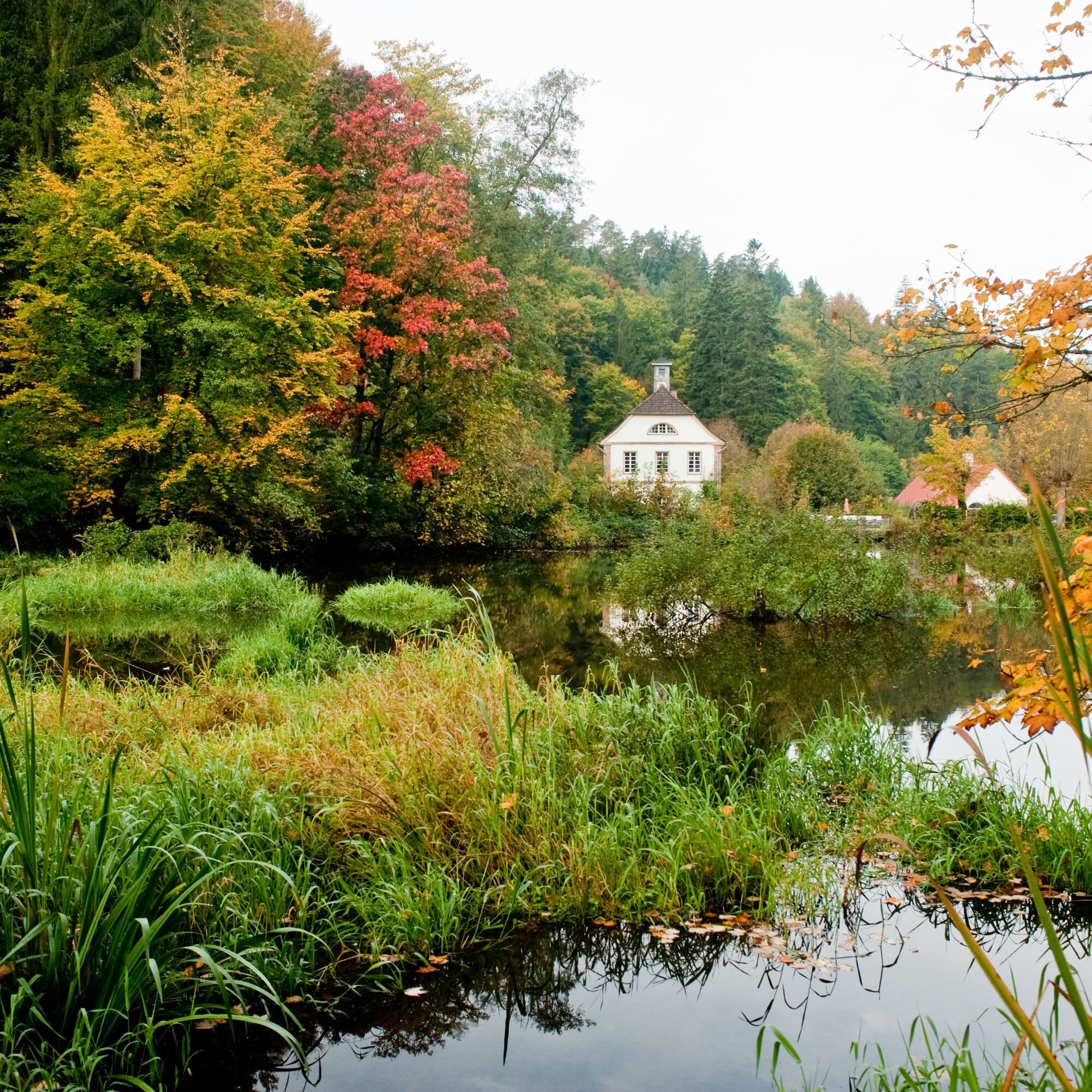
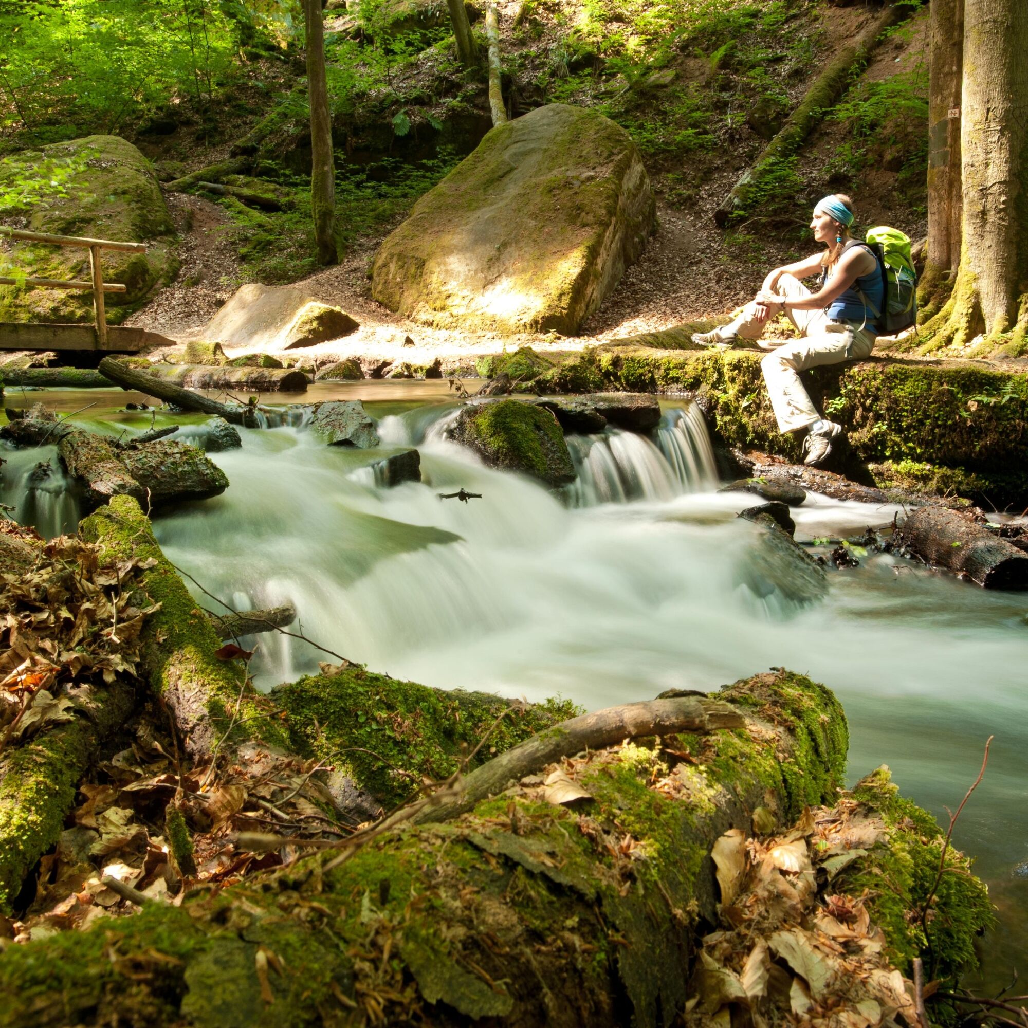
From the Naturfreundehaus Finsterbrunnertal, we follow the course of the Moosalbe upstream. Along the valley, we pass several monuments of early industrial iron processing in the Palatinate, including the three former production sites Ober-, Mittel-, and Unterhammer. The Unterhammer estate now houses, among other things, a café where we can rest in an idyllic setting. The same applies to the Klug’sche Mühle restaurant/café, which we pass shortly after Unterhammer. At Mittelhammer, we follow the Moosalbe into the impressive Karlstal gorge. The small river flows here over several rapids and waterfalls past mighty boulders and steep sandstone cliffs. Above the gorge, we reach Oberhammer and continue through the now broader and gentler valley. After a small forest pond, we reach the "Moosalbsprung" fountain, inviting a short rest. At the end of the valley, we climb forest paths up to Johanniskreuz, where our stage ends at the House of Sustainability. The local gastronomy in Johanniskreuz invites you to linger with accommodation options.
Stage 3: From Johanniskreuz to Heltersberg
From the House of Sustainability across the large parking lot at Johanniskreuz, the Pfälzer Waldpfad leads back into the forest, passing the natural monument "Hindenburg Pine". We descend into the valley of the Schwarzbach, where we reach the Burgalb pond via gently winding forest trails. Then we continue on the right side of the valley along the slope above the Schwarzbach. Over a hill, we enter the catchment area of the Hahnenseybach, which we do not descend into but instead hike on a hillside path to the Molkenbrunnen spring. The spring invites a cozy rest before passing green moss-covered rocks to the Kiesel pond. After another ascent, we follow a forest road over the ridge before crossing the valley of the Hundsbächel and beginning the final ascent to Heltersberg. At the forest edge, we reach the Naturfreundehaus Heltersberg, where we can stop for refreshments. From there, it is only a few hundred meters following the signs to the stage destination at the bus stop in the center of Heltersberg.
Stage 4: From Heltersberg to Rodalben
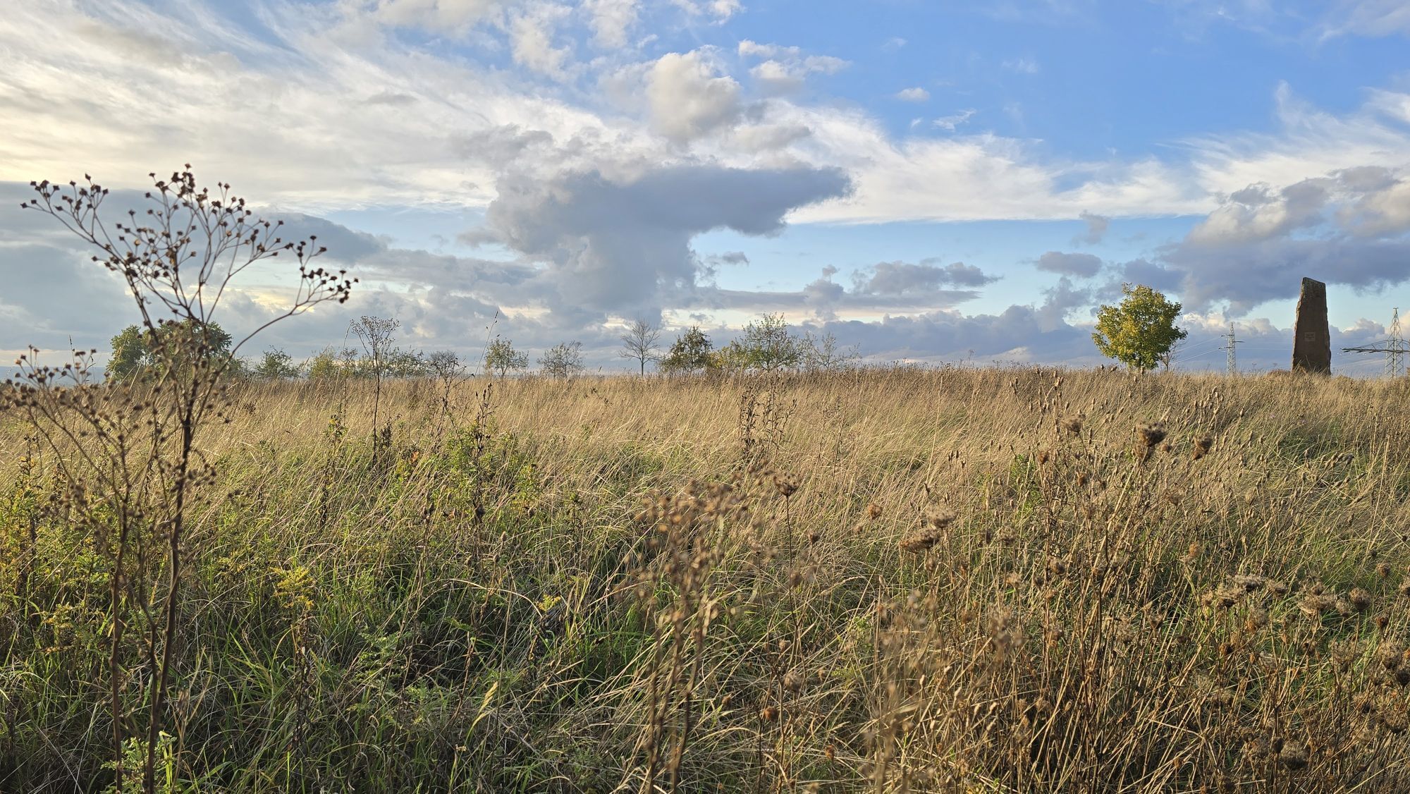
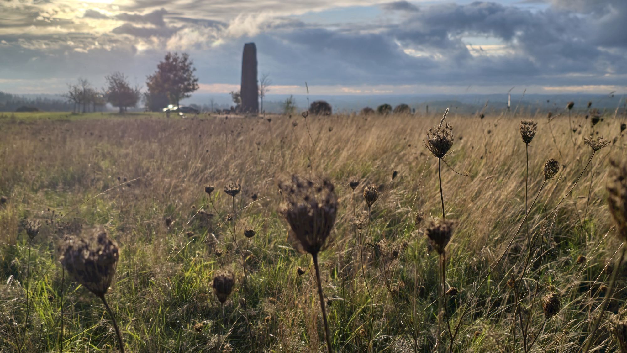
The fourth stage of our hike leads us out of Heltersberg over meadows and fields past the Westrichhof into the forest. We hike for quite a while over the ridge until we reach the impressive Seelenfelsen cliff high above the Schwarzbach valley. Below the impressive red sandstone rock formation, we follow the route into a small side valley and then ascend to the ruins of the Heidelsburg, which served the Romans as a defensive structure against Germanic attacks. The Pfälzer Waldpfad leads us through the Schwarzbach valley to a former armory. Here we leave the valley and hike over a ridge with meadows and fields to the pilgrimage site Maria Rosenberg with its pilgrimage church and the Marian grotto. After another ascent, we reach Donsieders. After leaving the church in the center of the small community behind us, we follow the Höhgasse uphill out of the village to the high plateau of Orleberg. Surrounded by fields stands an impressive monolith of red sandstone, on which a plaque with a poem about the "Local Legend of Donsieders" is mounted. The route then continues through the forest past some striking rocks to the outskirts of Rodalben, where we meet the staffed Hilschberghaus (PWV). The hut is open Mon-Sat from 12:00 and on Sundays and public holidays from 10:00.
Stage 5: From Rodalben to Merzalben
From the terrace of the Hilschberghaus (PWV) (opening times: Mon-Sat from 12:00 / Sundays and public holidays from 10:00), we take one last look over the town of Rodalben before continuing – in several bends we hike above the town along the slope until we descend into the valley of the Rodalbe. Through a side valley of this small river, we reach the building of the former Birkwieserhof. The final section of the fifth stage of the Pfälzer Waldpfad leads us in several bends on forest roads to Merzalben. There we pass on the main street the church standing to the left above us and reach the day’s goal at the junction of Zimmerbergstraße.
Stage 6: From Merzalben to Hauenstein
The "king stage" of the Pfälzer Waldpfad begins in the center of Merzalben at the corner of Hauptstraße/Zimmerbergstraße. From here, the route leads us out of the town into the forest. After a short ascent, we reach the ruin of Gräfenstein Castle, dating from the Staufer period. Equipped with our flashlight, we climb the seven-sided bergfried (keep) of the castle and enjoy the view over Merzalben as far as the surrounding green sea of hills of the Palatinate Forest. Leaving the castle, we descend to the visitor parking lot, from where it goes uphill to Winschertkopf. The mighty red sandstone rock block stands on a hill high above the valley of the Merzalbe. After enjoying another splendid view there, we hike gently up and down through dense forest over the central heights of the Palatinate Forest to the summit of Weißenberg. At 607 m above sea level, this is the highest point of the Pfälzer Waldpfad. From the Luitpold Tower, we have a magnificent panoramic view over the largest continuous forest area in Germany. Then we descend into the hamlet of Hermersbergerhof and from there walk along below the ruins of Falkenburg further into the valley of the Queich. In the valley we can make a detour to Wilgartswiesen with its double-towered sandstone church before reaching our stage destination in Hauenstein.
Stage 7: From Hauenstein to Dahn
At the beginning of the stage, we hike past some rocks to the rock gate, the northern "gateway" of Hauenstein, where the Bahnhofstraße runs between two steep rock walls. After the route leads us along the slope above Hauenstein for a while, we reach the Paddelweiher pond and follow the valley of the young Queich upstream to the Queich spring. We refresh our tired feet with a short walk through the newly created water treading basin or briefly rest on the benches. After this break, the steep ascent feels easier. At the end of the ascent, the hiking lodge Dicke Eiche (PWV) (opening hours: weekends and public holidays 9:00 to 18:00, May to October also Wednesdays from 10:00 to 18:00, closed 25.12, 26.12 and 01.01) awaits with a typical Palatinate dish and a glass of wine or freshly tapped beer. Refreshed, we continue past the mighty namesake of the hiking hut – the old oak tree, which was damaged by vandalism years ago and now lies dead as a tree trunk at the edge of the clearing where it once stood in full splendor. Finally, we reach Winterkirchel. From there, the route leads through a valley down to the outskirts of Erfweiler and further along the slope of Wölmersberg to the edge of Dahn. We now master the last significant ascent of this stage up to Lachberg. Following the rocky ridge, we reach the Jungfernsprung, the landmark of Dahn. From here, we descend into the town center of Dahn, where the seventh stage ends.
Stage 8: From Dahn to Erlenbach
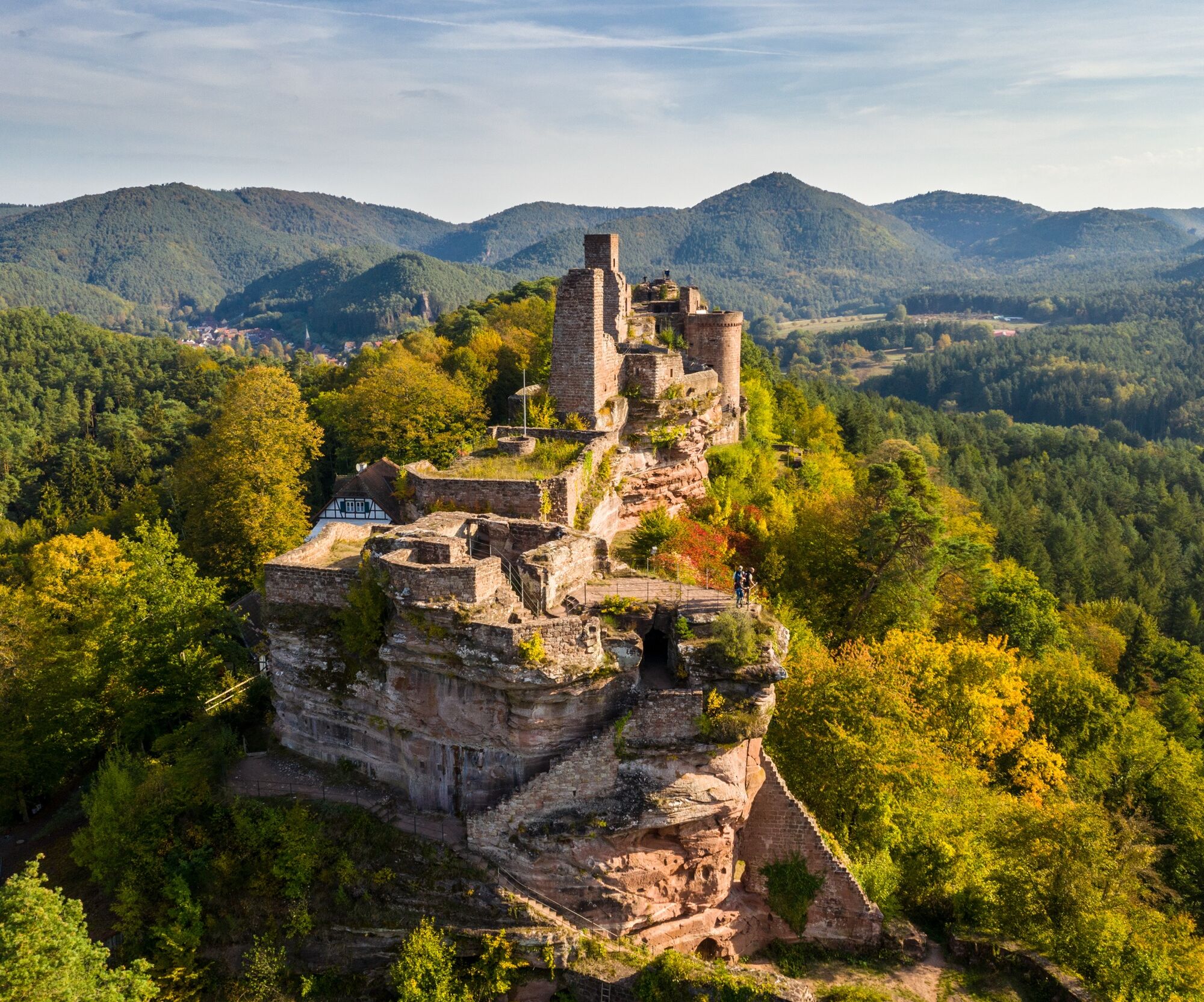
From Dahn, we follow the Pfälzer Waldpfad up to the Ehrenfriedhof cemetery with the St. Michael chapel, which lies in a picturesque location directly below the impressive rock massif of the Hochstein. From here the path leads through the forest over the heights to the castle group Altdahn-Grafendahn-Tanstein. High above Dahn, the three castle ruins sit side by side on a rock reef made of red sandstone. Afterwards, we descend to Erfweiler, pass through the town, and on the other side, walk through the forest at the slope of the Kahlenberg to a viewpoint at the edge of a light-flooded pine forest. After passing another viewpoint at the height of Kahlenberg, the route leads down to the outskirts of Schindhard and further through the forest to Busenberg. From there, we hike to the Drachenfels ruin, which, like the Dahn castles, stands on a massive red sandstone rock block. Near the ruin, we can relax comfortably at the Drachenfelshütte (PWV) before a final descent brings us down to Erlenbach. The Drachenfelshütte is open year-round (except Christmas and New Year) on Wednesdays from 11:00, Saturdays from 12:00 and Sundays/public holidays from 9:00.
Stage 9: From Erlenbach to Schweigen-Rechtenbach
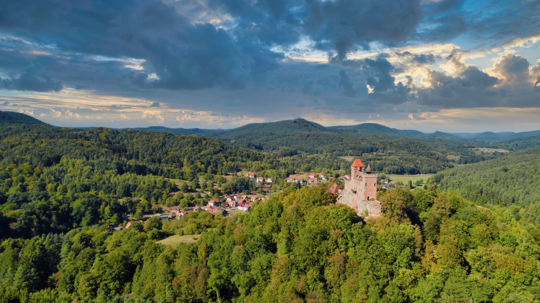
The final stage of the Pfälzer Waldpfad leads us from Erlenbach first to Berwartstein Castle, the only still inhabited castle in the Wasgau. Afterwards, we pass the Seehof pond, which invites you to swim in hot weather, and follow the Portzbach downstream to just before its confluence with the Wieslauter. Here the Pfälzer Waldpfad route winds in several bends along the slope north of the Wieslauter through the forest to the St. Germanshof forest inn, which is located right on the German-French border. Shortly thereafter, we reach French territory. Just after leaving the forest edge, a magnificent view opens up to our right over the northern Alsace town of Wissembourg, which can reach as far as the Hornisgrinde in the Black Forest on clear days. We hike through vineyards over the literally green border back to German territory and then descend along the slope to Schweigen at the foot of the mountains. Here stands the German Wine Gate, which marks not only the southern end of the German Wine Route but also the end of our hike. A visit to the historic old town of Wissembourg is highly recommended from here. And of course, one should not miss stopping at a winemaker at the end of the route. For those still not tired of hiking, the wine tasting there can be seen as a kickoff for the Pfälzer Weinsteig. Please note: On the French side, the marking system changes. The Waldpfad logo is displayed small on the white signs of the Vosges Club at the crossroads.
Da
Da
For our hiking tours, we recommend the following standard equipment:
Sturdy footwear Weather-appropriate clothing Sun and rain protection A sufficient supply of food and drinks, as not everywhere offers or open places to eat or shop. Although the paths are very well marked throughout, it is recommended for safety reasons to always carry a suitable hiking map so that, for example, in case of a thunderstorm or emergency you can quickly find a safe area.Hiking on natural paths and trails - Especially in autumn, note that fallen leaves on the ground can hide unevenness, roots, stones, or holes on the path. After thunderstorms or rainstorms, trees can fall or branches break off even afterwards. Under adverse weather conditions, natural paths can become muddy and slippery. Not all rocks or ravines are secured with ropes or railings. Surefootedness is sometimes required. Expect such trail impairments when hiking. If you find certain sections impassable, you should avoid them. Despite the "unmistakable" marking of premium hiking trails, it is always recommended to bring a suitable map for safety reasons so you can quickly find a safe area during thunderstorms or emergencies. Trail closures and detours must be observed.
Hazard situations - Should an emergency arise, quick help is required. Although mobile phones can send GPS signals, classic rescue points are often the fastest. These are located at places accessible by rescue vehicles. Remember the points with green signs and a white cross. Return there in an emergency and give the number shown on the sign when calling for help. This way, rescuers know where to find you.
Take exit Kaiserslautern-Ost on the A6 and continue on B37 towards Kaiserslautern station.
Or: Take exit Kaiserslautern - Centrum / Mannheim on the A63 and continue on B37 towards Kaiserslautern station.
By train to the start in Kaiserslautern (ICE stop).
The popular excursion destination Karlstal and the Naturfreundehaus Finsterbrunnertal will be better reachable by bus in the future. Starting Monday, July 15, 2024, there will be a new bus stop at Eisenschmelz served by bus line 170 from Kaiserslautern. From the new bus stop "Neue Schmelz, Stelzenberg", set up at the Eisenschmelz parking lot (K55/L500), it is a 600-meter walk over mostly flat terrain, manageable in a few minutes. The buses travel each hour from Kaiserslautern via Stelzenberg, Karlstal, Trippstadt back to the city, and the next hour the reverse route via Trippstadt, Karlstal, Stelzenberg back to Kaiserslautern. A new two-sided stop on L500 has also been arranged at Unterhammer, also served by line 170. From mid-June 2025, bus line 180 will also serve Eisenschmelz.
Additional stations along the route: Schopp (access), Waldfischbach-Burgalben (access), Pirmasens (access), Rodalben (access), Münchweiler an der Rodalb (access), Hauenstein (access), Dahn, Wissembourg (access)
Timetable information via DB Reiseauskunft and in the DB Navigator app
At the main station in Kaiserslautern.
Please only park in designated parking spaces and always keep access routes clear for emergency vehicles as well as work paths in the forest and vineyards. For overnight stays with camper & caravan, there are explicitly designated motorhome parking spots.
T3
The Naturfreundehaus Heltersberg will reopen on June 4, 2025. Restaurant and accommodation. This reestablishes an overnight option on the Pfälzer Waldpfad.

Priljubljeni izleti v okolici
-
4.8
Dahner Felsenpfad
srednjaPohodništvo 13.2 km -
4.5
Forsthaus Beckenhof - Pirmasens - Waldhaus Starkenbrunnen - Lemberg
srednjaPohodništvo 13.6 km -
4.8
Lemberg - Salzwoog - Schwamborn-Quelle - Teufelstisch
srednjaPohodništvo 11.9 km -
3.8
Dahn - Lachberg - Vogelsberg
srednjaPohodništvo 18.7 km -
3.7
Eiderbachtal - Hofstätten - 7 Buchen - Annweiler Forsthaus - Eiderbachtal-Parkplatz
srednjaPohodništvo 11.3 km -
5.0
Palatinate Weinsteig Stage 08 Dernbach - Annweiler am Trifels
težkoPohodništvo v daljavo 14.4 km -
4.5
Schusterpfad
srednjaPohodništvo 16.4 km -
4.5
Eyberg-Tour (Variante)
srednjaPohodništvo 11.4 km -
4.5
Erfweiler - Hahnberg - Kahlenberg - Schindhard
srednjaPohodništvo 14.6 km -
5.0
Rodalber rock hiking trail
težkoPohodništvo 44.3 km
Pohodništvo in sledenje


Ne zamudite ponudb in navdiha za naslednje počitnice
Vaš e-poštni naslov je bil dodan na poštni seznam.





