


BARDONECCHIA Monte Thabor
Stopnja težavnosti: T2


Fotografije naših uporabnikov

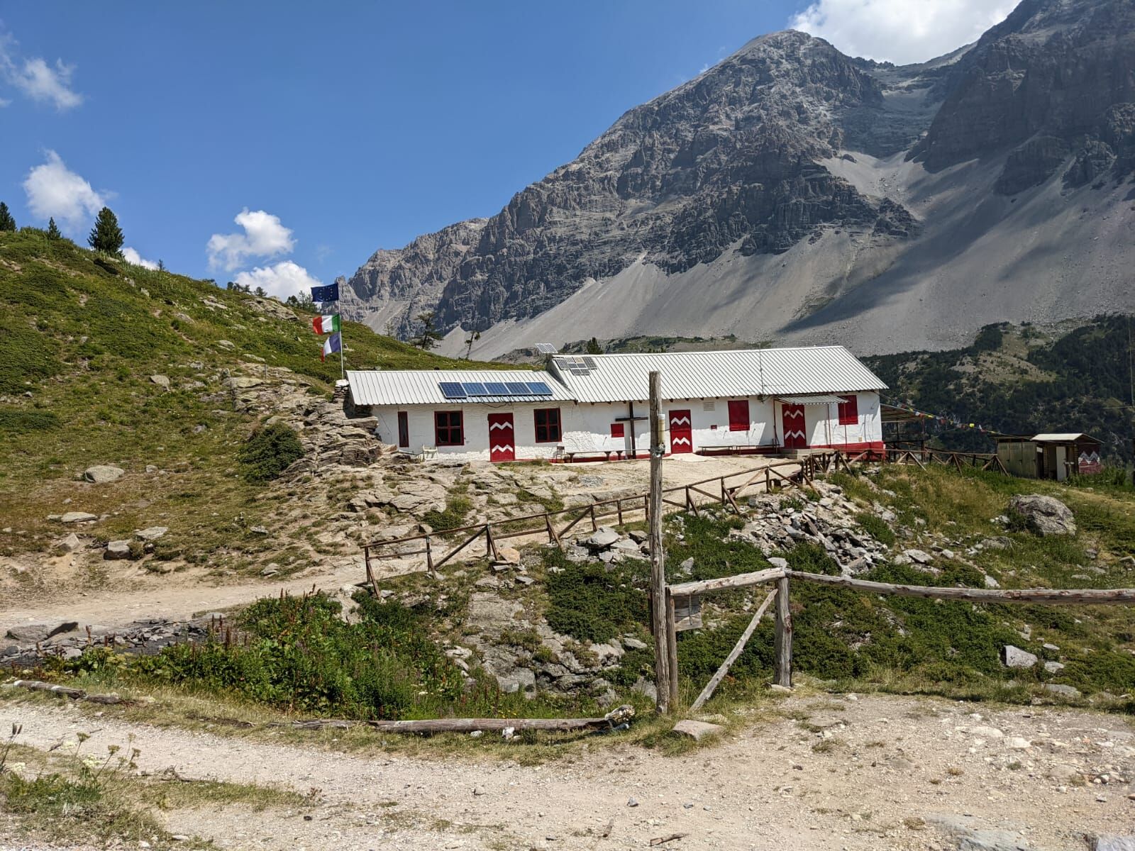
The route, starting from the Grange di Valle Stretta, initially develops along a dirt road that gently rises through a conifer forest and then quickly becomes steeper towards the Maison des Chamois. The...
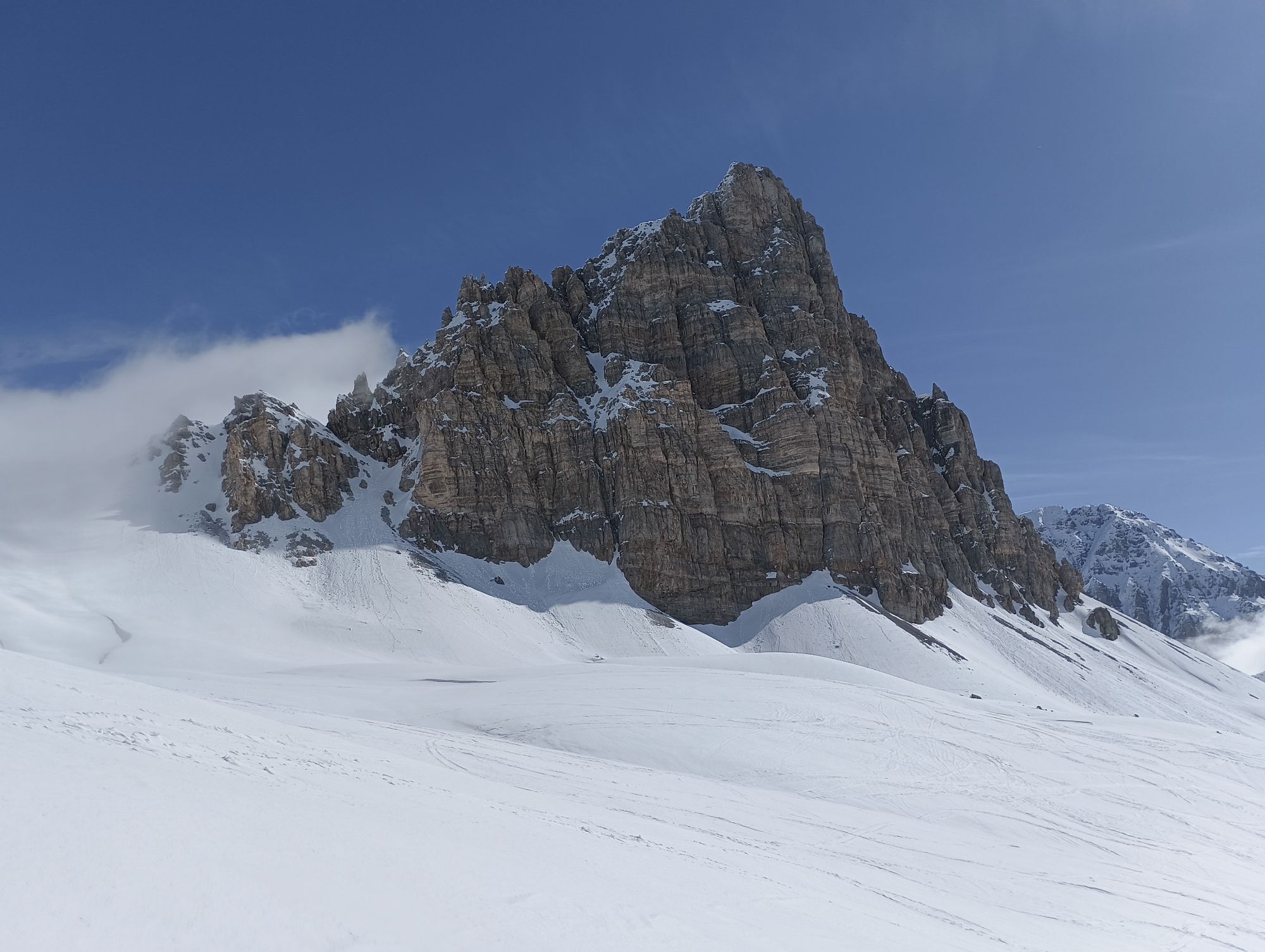
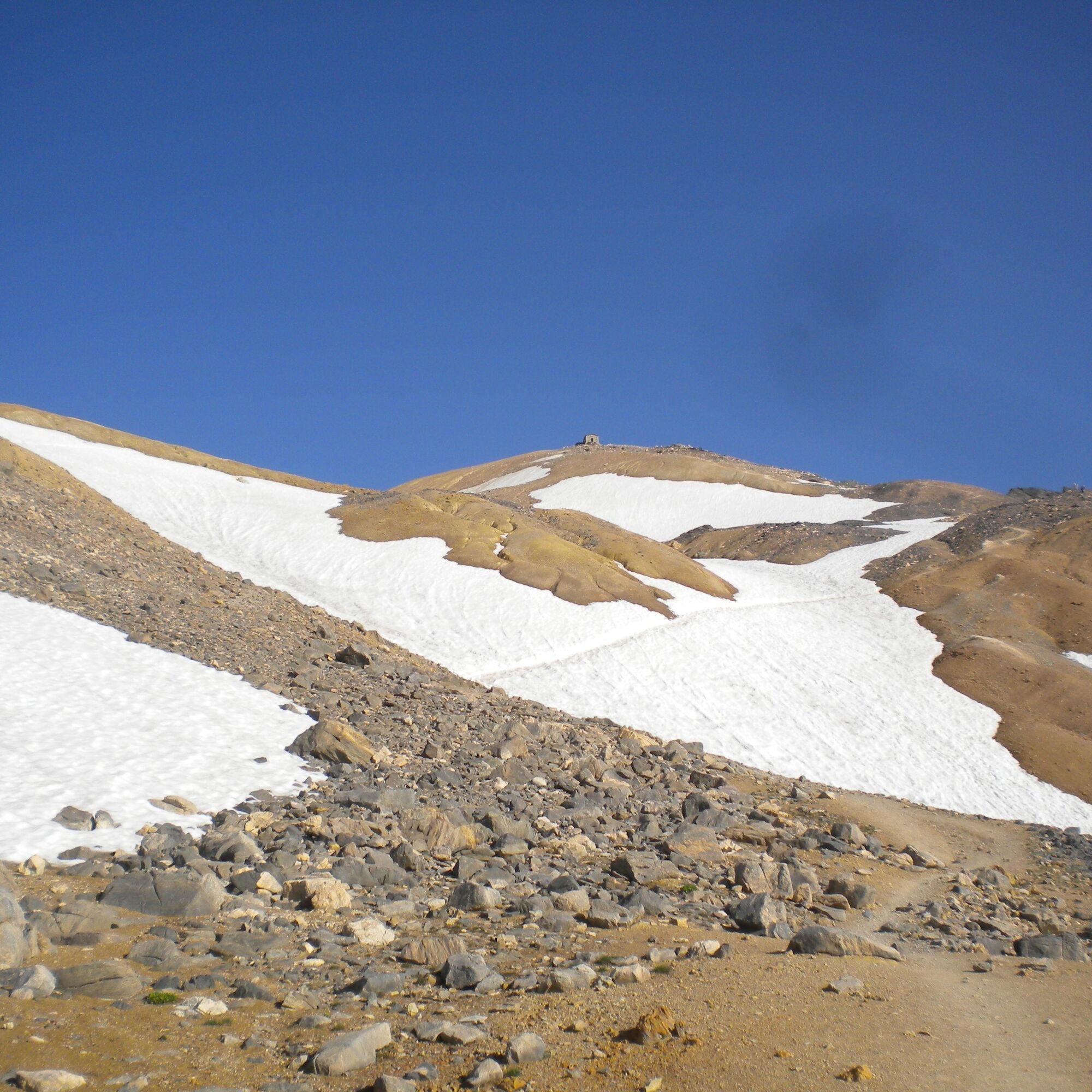
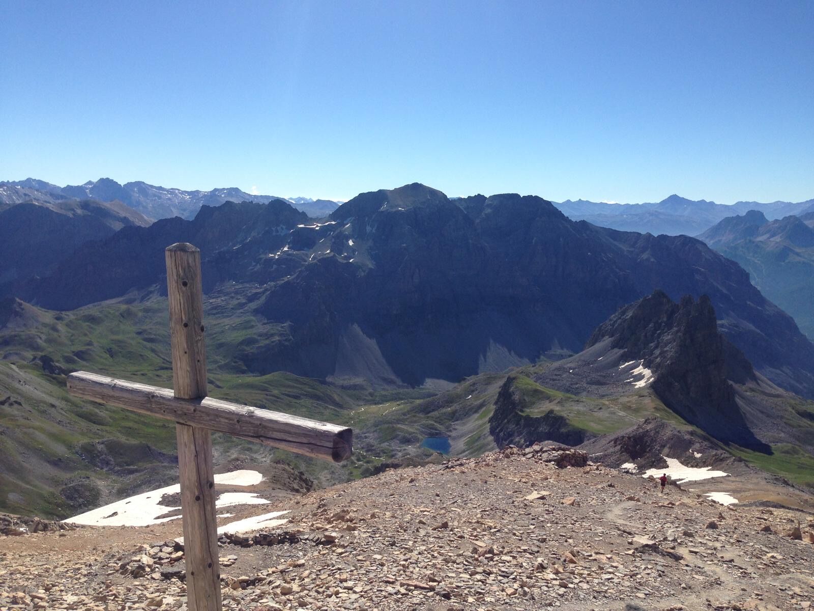
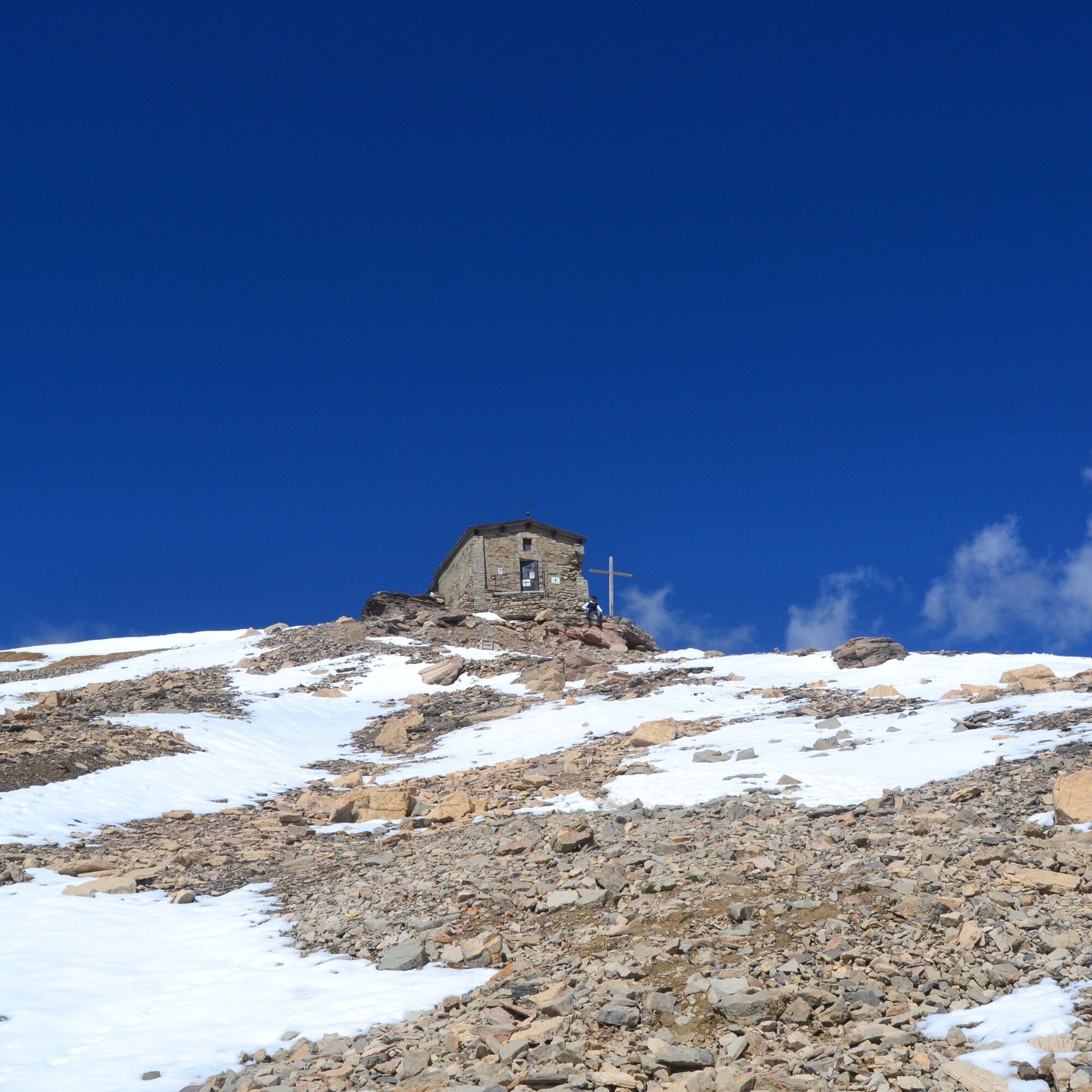
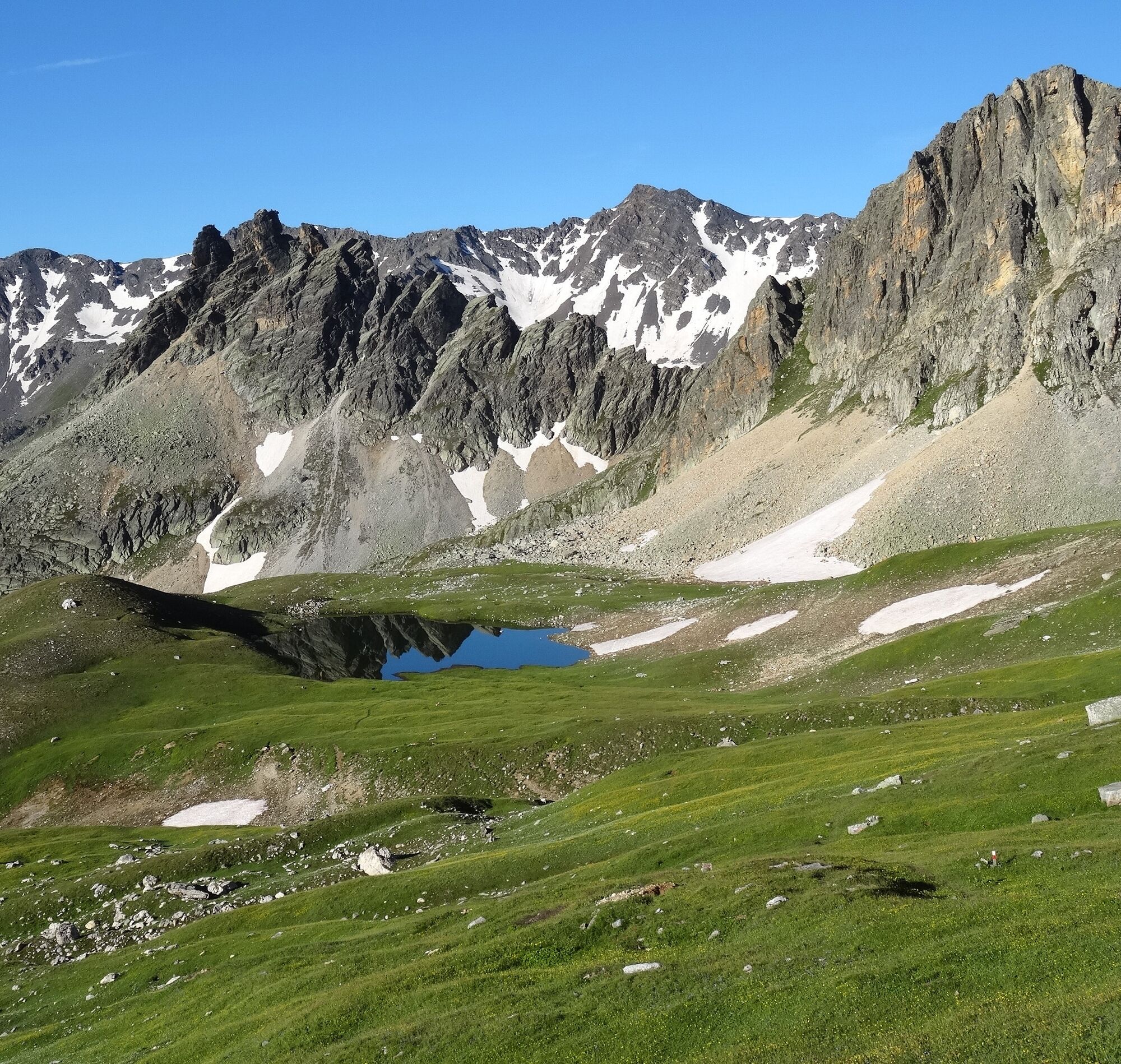
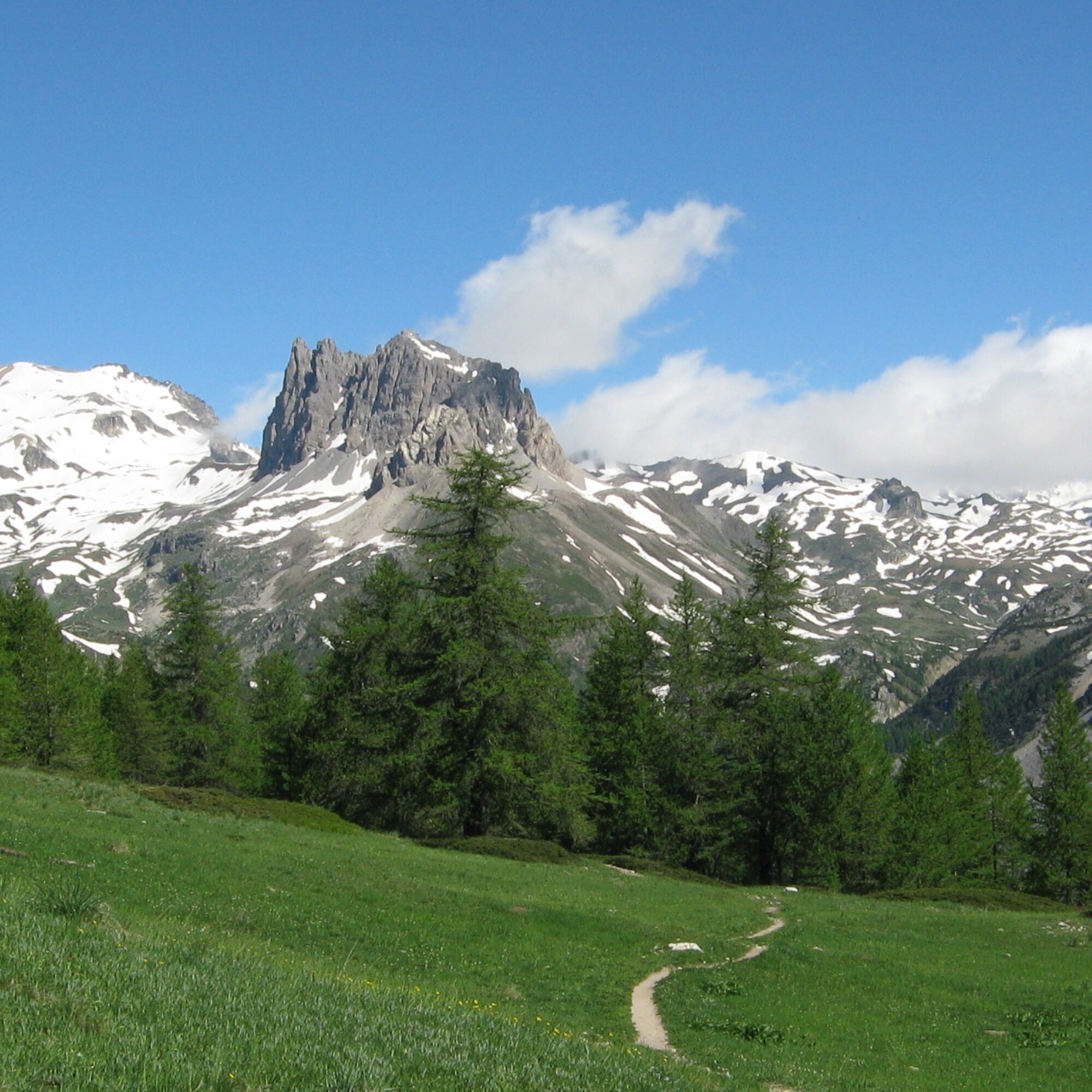
The route, starting from the Grange di Valle Stretta, initially develops along a dirt road that gently rises through a conifer forest and then quickly becomes steeper towards the Maison des Chamois. The route continues to the Ponte de la Planche and then to the vast meadows of the Vallon du Diner to reach the Col des Meandes. From here, the environment becomes alpine, and the path, crossing a scree, leads to the Chapel dedicated to Our Lady of Sorrows and finally to the summit of Monte Thabor.
It is hypothesized that the name Thabor has biblical origins, as well as the Magi Kings, Barabbas Tower, etc., and was given by a local nobleman returning from the Crusades.
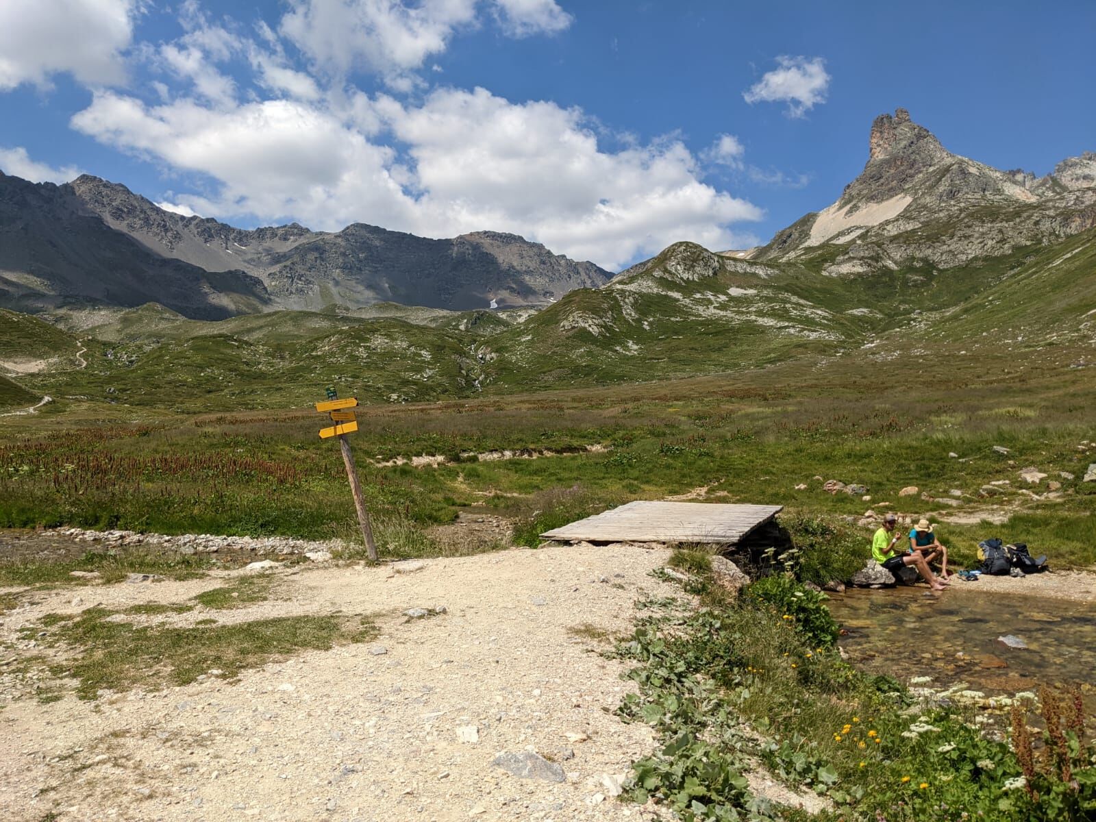
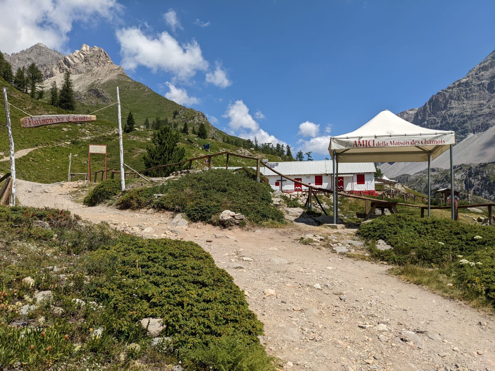
From Bardonecchia, reach by car (in summer with the shuttle service) the parking lots of the Grange di Valle Stretta. On foot, take the dirt road that crosses the village and gently ascends to Pian della Fonderia. From here, continue along the dirt road to the left towards the Maison des Chamois and, just before the alpine house, take the path on the left; once you reach the water intake, keep right and continue to the Ponte de la Planche. After crossing it, continue climbing to the right along the Vallon du Diner until you reach near the Col des Meandes; take the path on the left that leads to the summit of Monte Thabor.
Da
Trekking boots
In the last stretch the path crosses a scree
By car:
- A32 Motorway Turin - Bardonecchia, Bardonecchia exit
- State Road 24: Turin - Oulx and then State Road 335: Oulx - Bardonecchia
Once you reach Bardonecchia, head towards the village of Les Arnauds and the hamlet of Melezet, pass them and reach Pian del Colle. Cross the Italo-French border (there is no special signage) and proceed until you reach the Colle della Scala / Valle Stretta junction. Continue straight along the road, almost entirely paved, entering the valley, pass some hairpin bends, continue on flat land, and finally take the last two hairpin bends until you reach the parking lot of the Grange della Valle Stretta (5 km from Pian del Colle).
By train:
- line Turin Porta Nuova - Bardonecchia
Once you reach Bardonecchia from the Hotel La Betulla (100 m from the train station), take the free Line 3 shuttle to Pian del Colle.
In July and August there is a shuttle from Pian del Colle to the Grange della Valle Stretta.
To know the shuttle schedules click here.
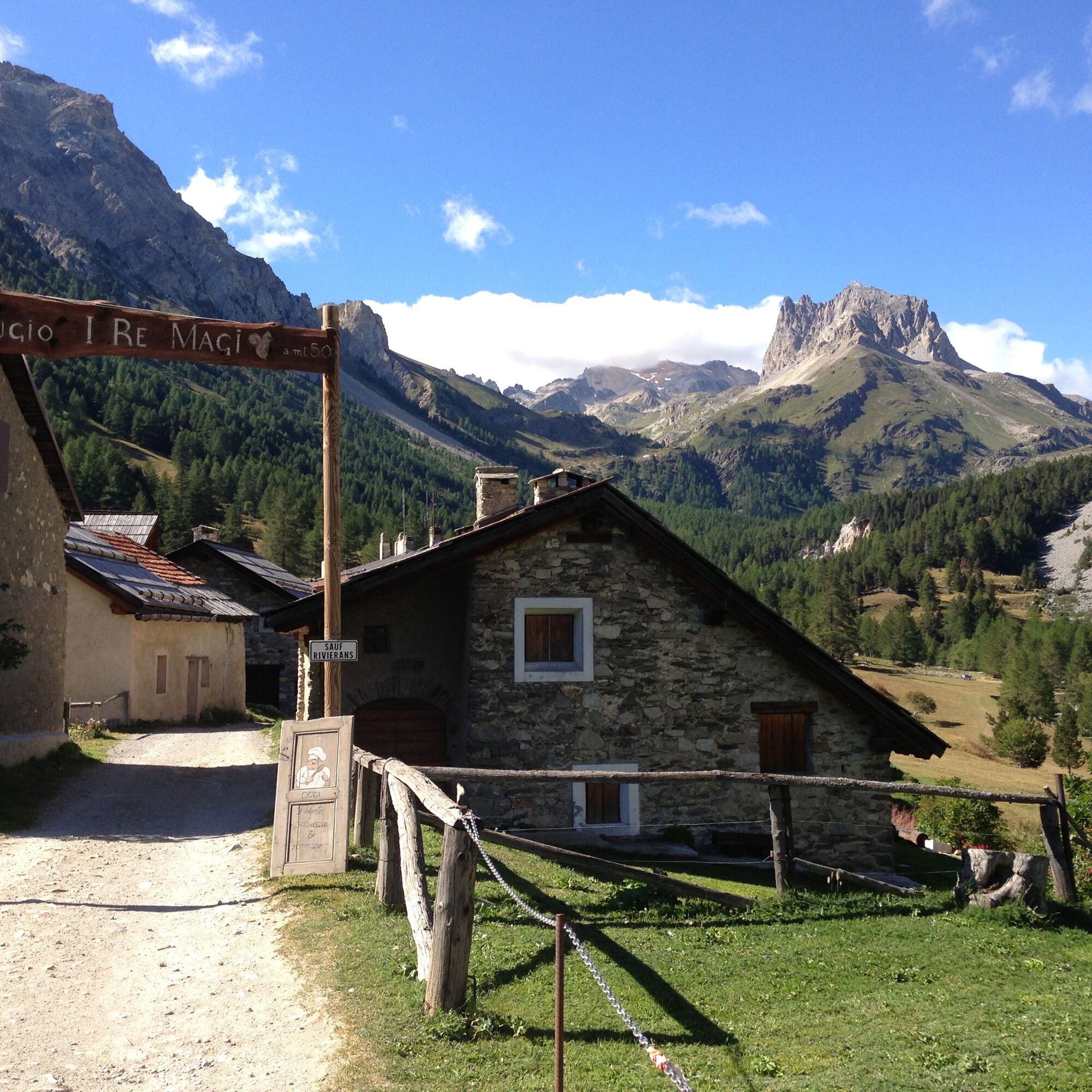
At the Grange della Valle Stretta there are several parking lots.
In July and August, parking at the Grange di Valle Stretta is paid.
T2
Bring water with you; beyond the Maison des Chamois there are no longer any fountains
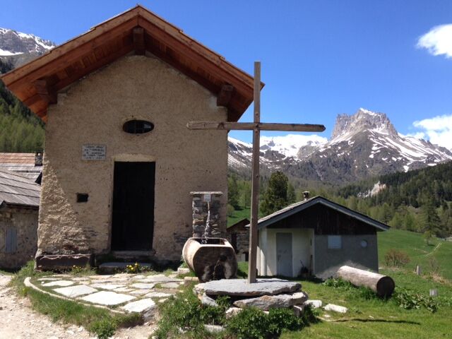
Enjoy a typical dish at the refuges at the Grange della Valle Stretta and buy some cheese products at the Alpeggio Valle Stretta.
Priljubljeni izleti v okolici
- 5.0
BARDONECCHIA Decauville
svetlobaPohodništvo7.29 km - 5.0
BARDONECCHIA Col des Acles - Passo della Mulattiera
težkoPohodništvo6.57 km - 5.0
BARDONECCHIA Lago Verde
srednjaPohodništvo4.14 km - 4.5
BARDONECCHIA Walter Bonatti Path - Grange della Rho
srednjaPohodništvo6.12 km - 5.0
BARDONECCHIA Forte Jafferau Loop
težkoMountainbike36.8 km BARDONECCHIA Punta Quattro Sorelle
težkoPohodništvo8.69 kmBARDONECCHIA Loop Punta Colomion - Passo della Mulattiera - Pian del Colle
težkoMountainbike25.1 kmBARDONECCHIA Rocce della Sueur - Tour jaune de Barabbas
srednjaPohodništvo4.12 kmBARDONECCHIA Loop Colle della Rho - Col de la Replanette - Colle di Valle Stretta
težkoMountainbike32.8 kmBARDONECCHIA Laghi Margherita
težkoPohodništvo8.24 km
Pohodništvo in sledenje


Ne zamudite ponudb in navdiha za naslednje počitnice
Vaš e-poštni naslov je bil dodan na poštni seznam.