


BARDONECCHIA Loop Punta Colomion - Passo della Mulattiera - Pian del Colle
Stopnja težavnosti: S3
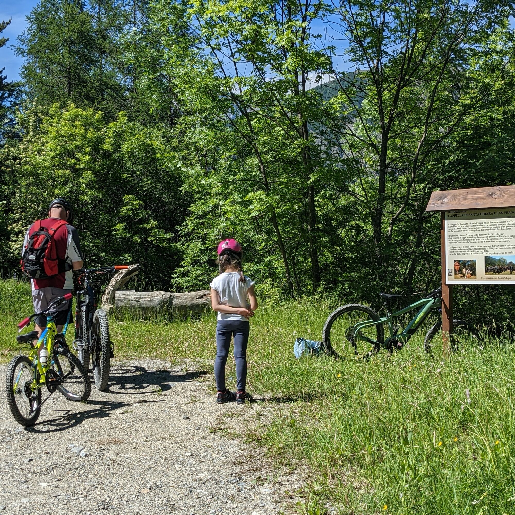
Fotografije naših uporabnikov
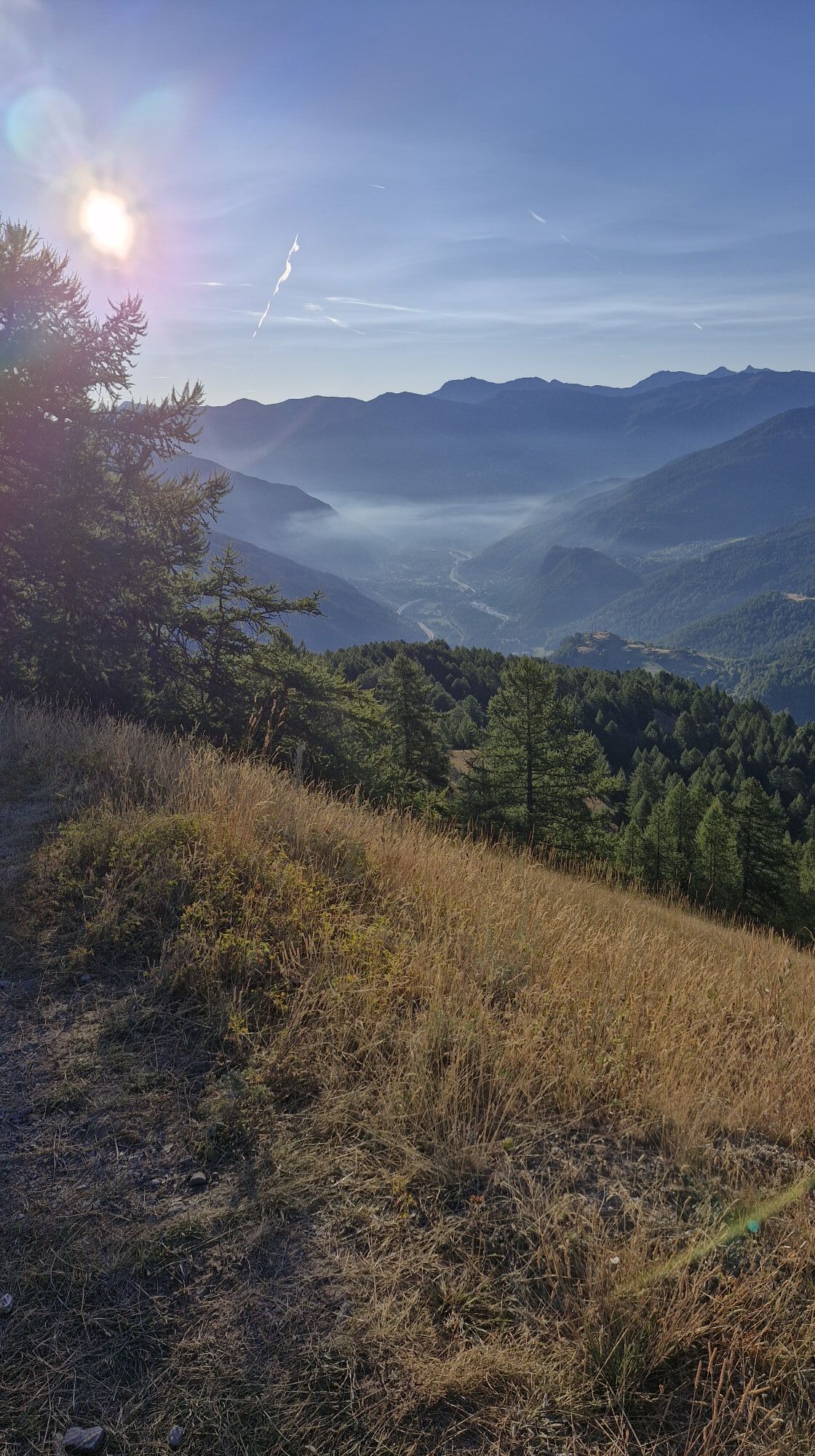
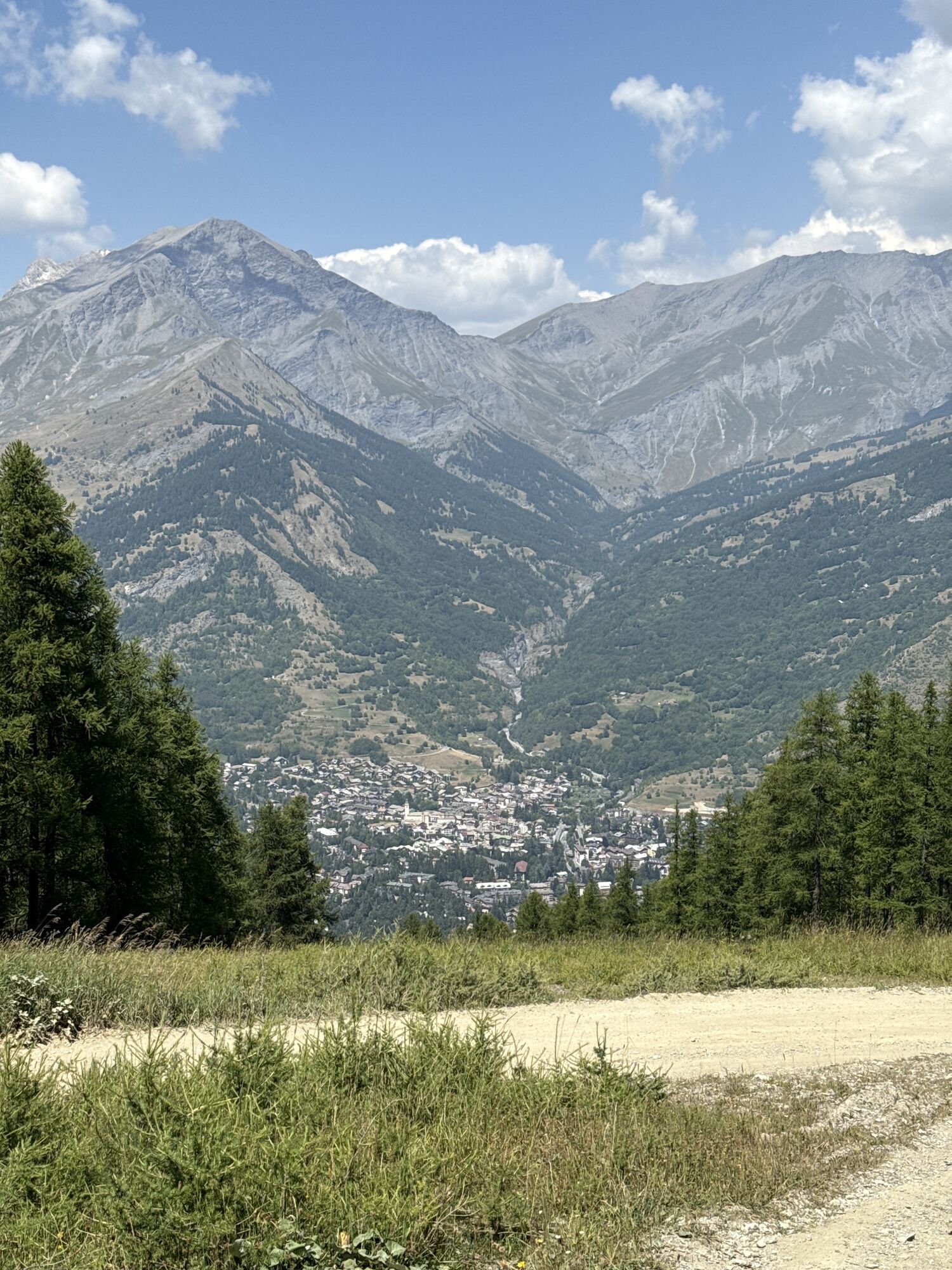
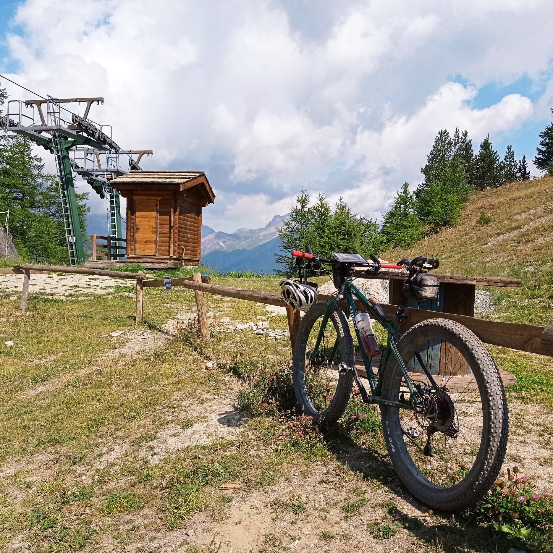
The route initially winds in hairpins through the woods at the edge of the Bardonecchia ski area and leads to Punta Colomion, where the eponymous bar is located, as well as the arrival of the ski lift...
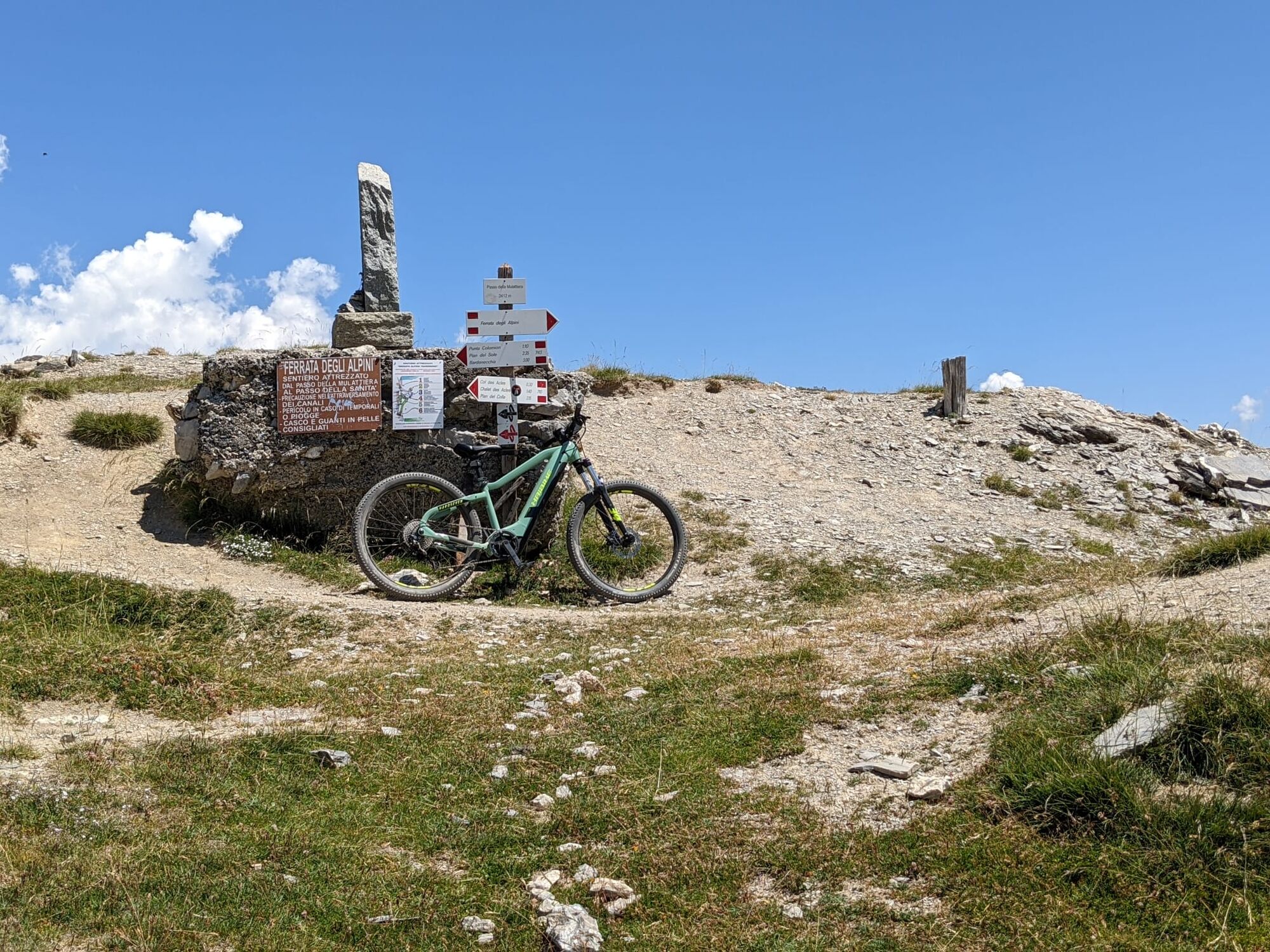
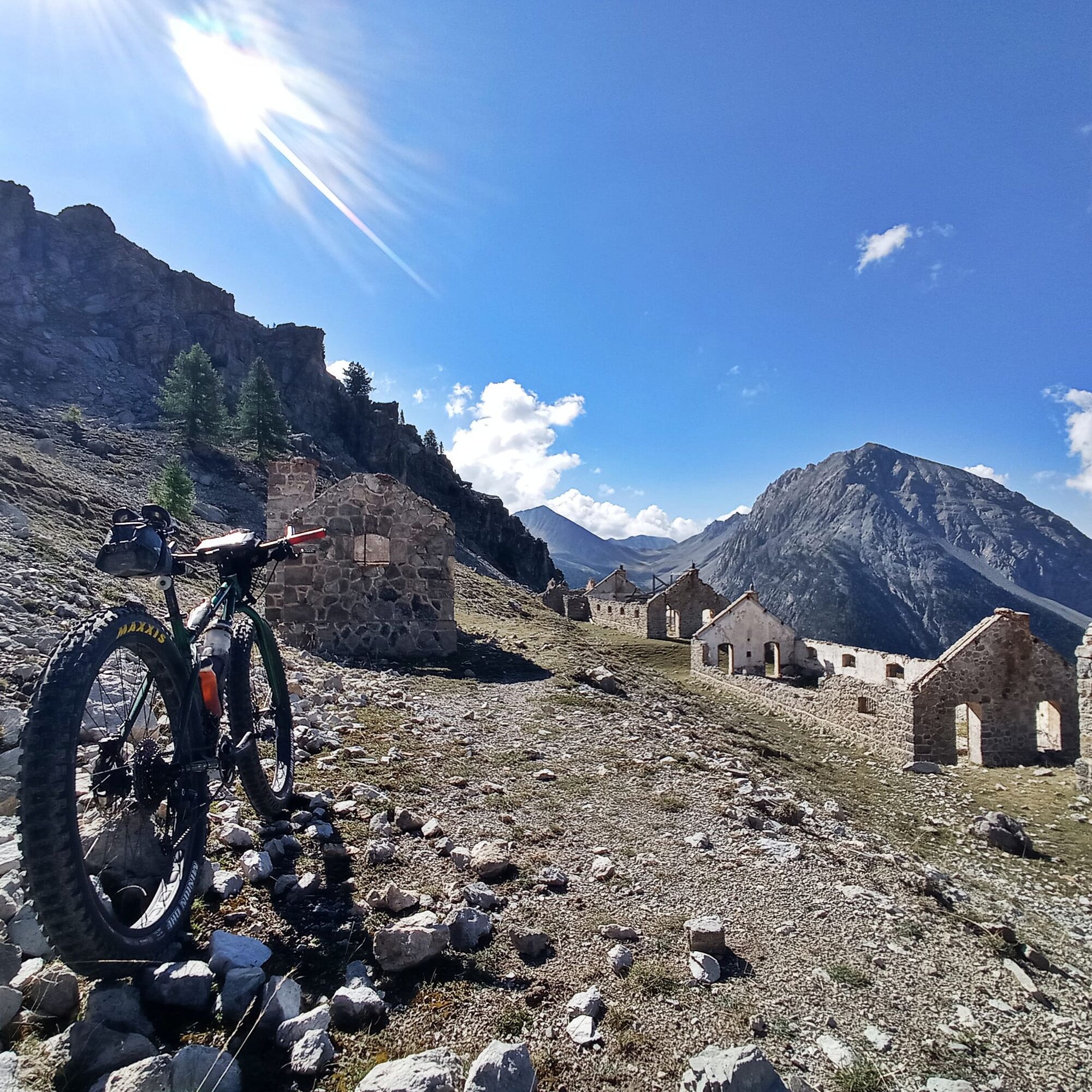
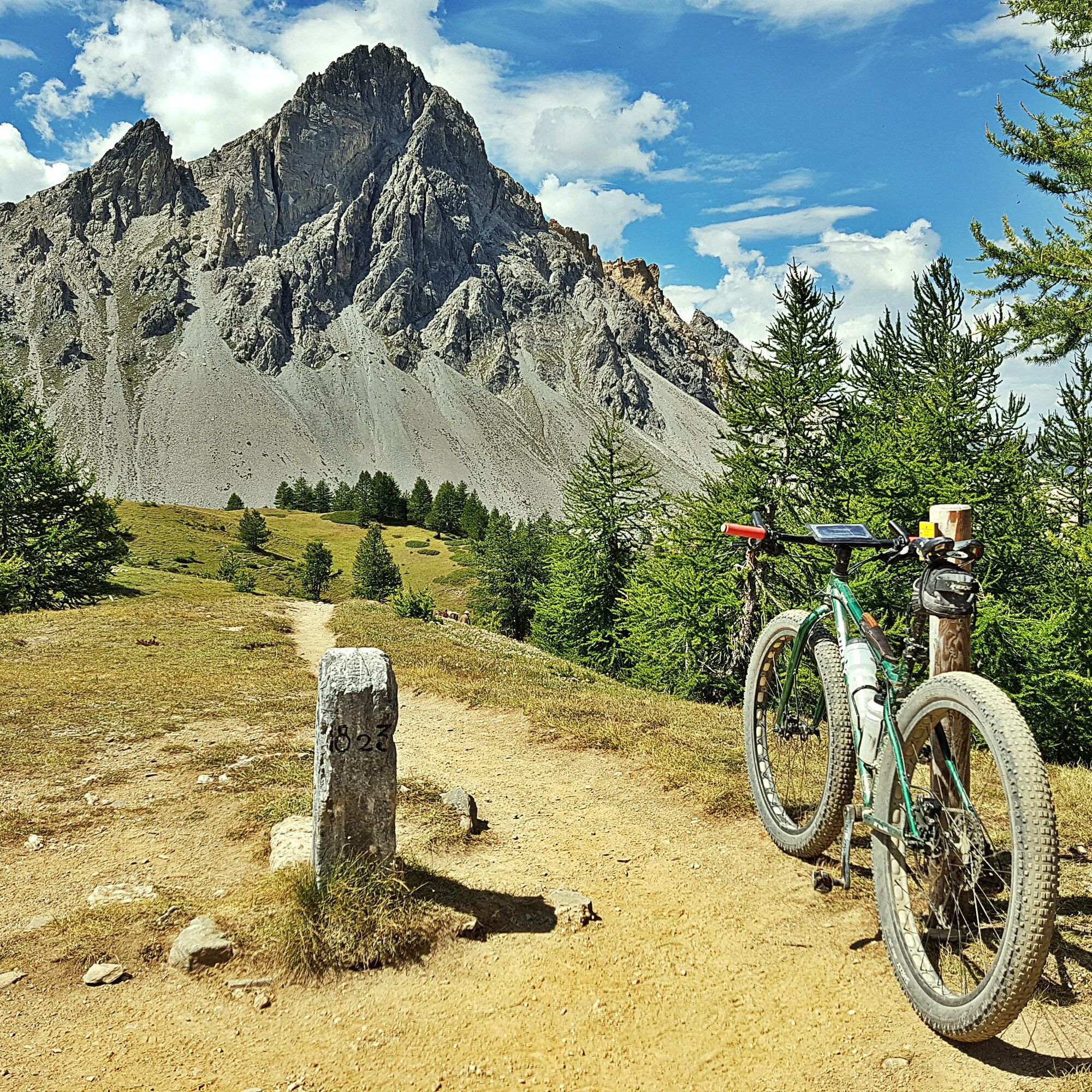
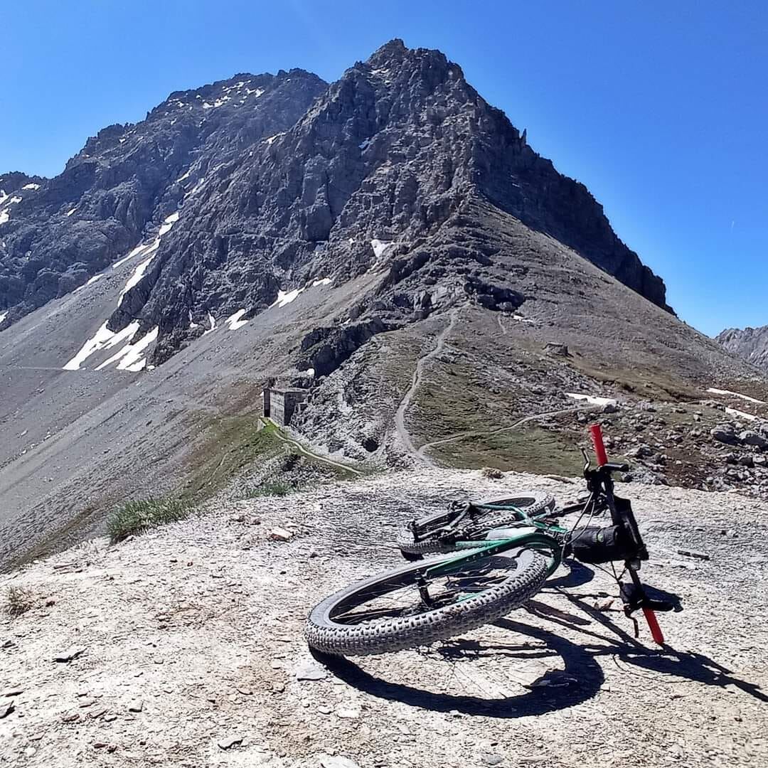
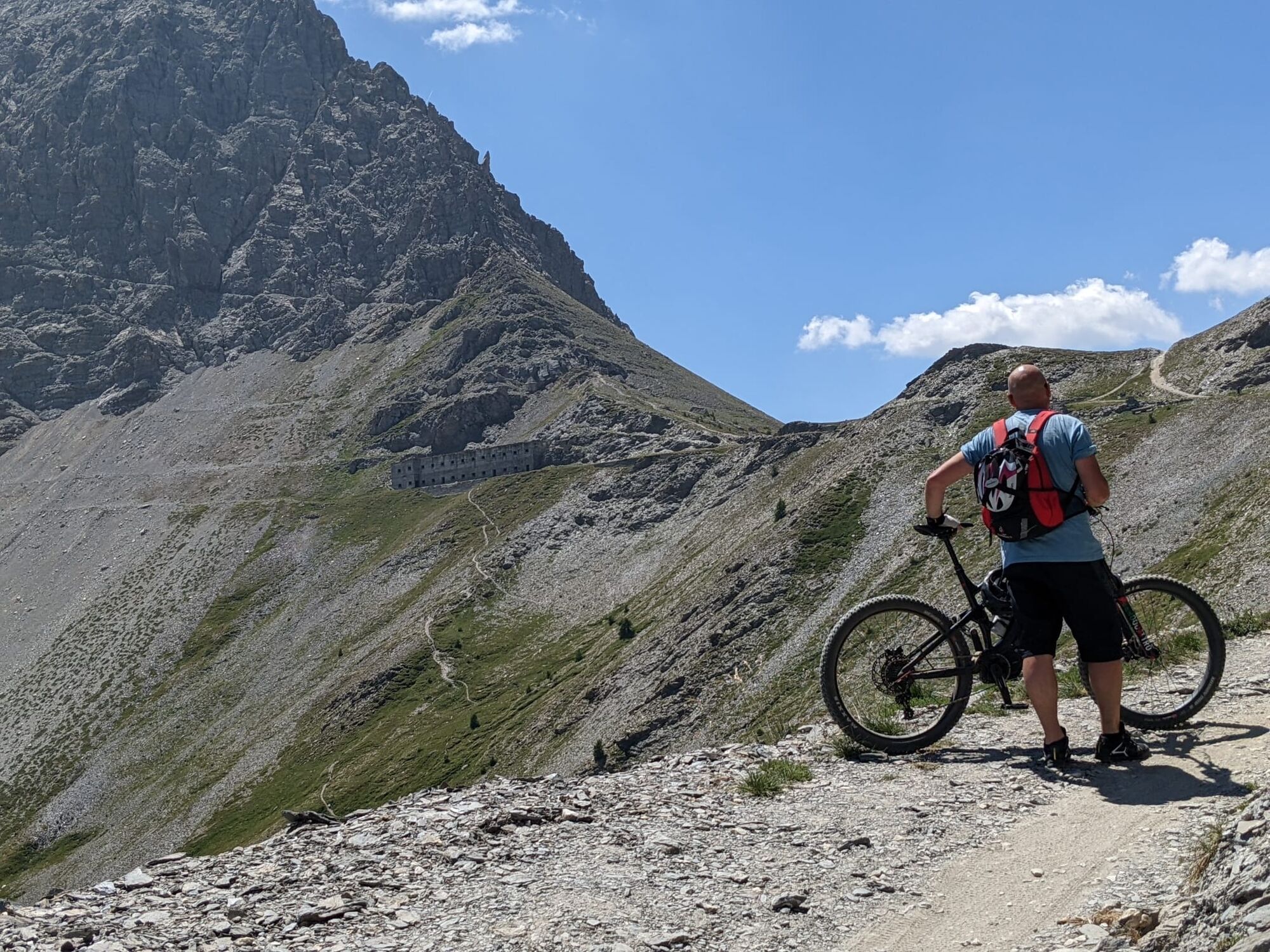
The route initially winds in hairpins through the woods at the edge of the Bardonecchia ski area and leads to Punta Colomion, where the eponymous bar is located, as well as the arrival of the ski lift departing from Pian del Sole. The route continues along the old military road on the ridge until Passo della Mulattiera and Caserma XVI, which stands beneath the face of Punta Charrà.
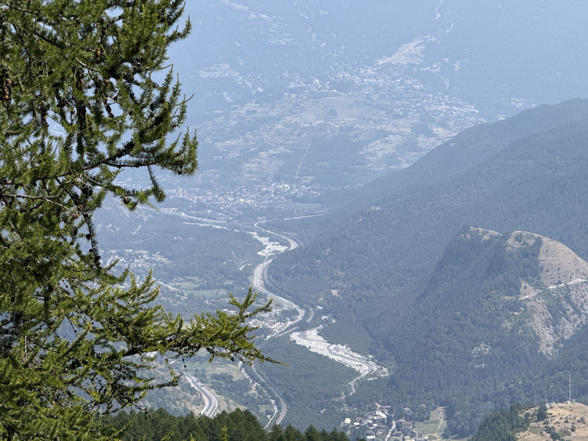
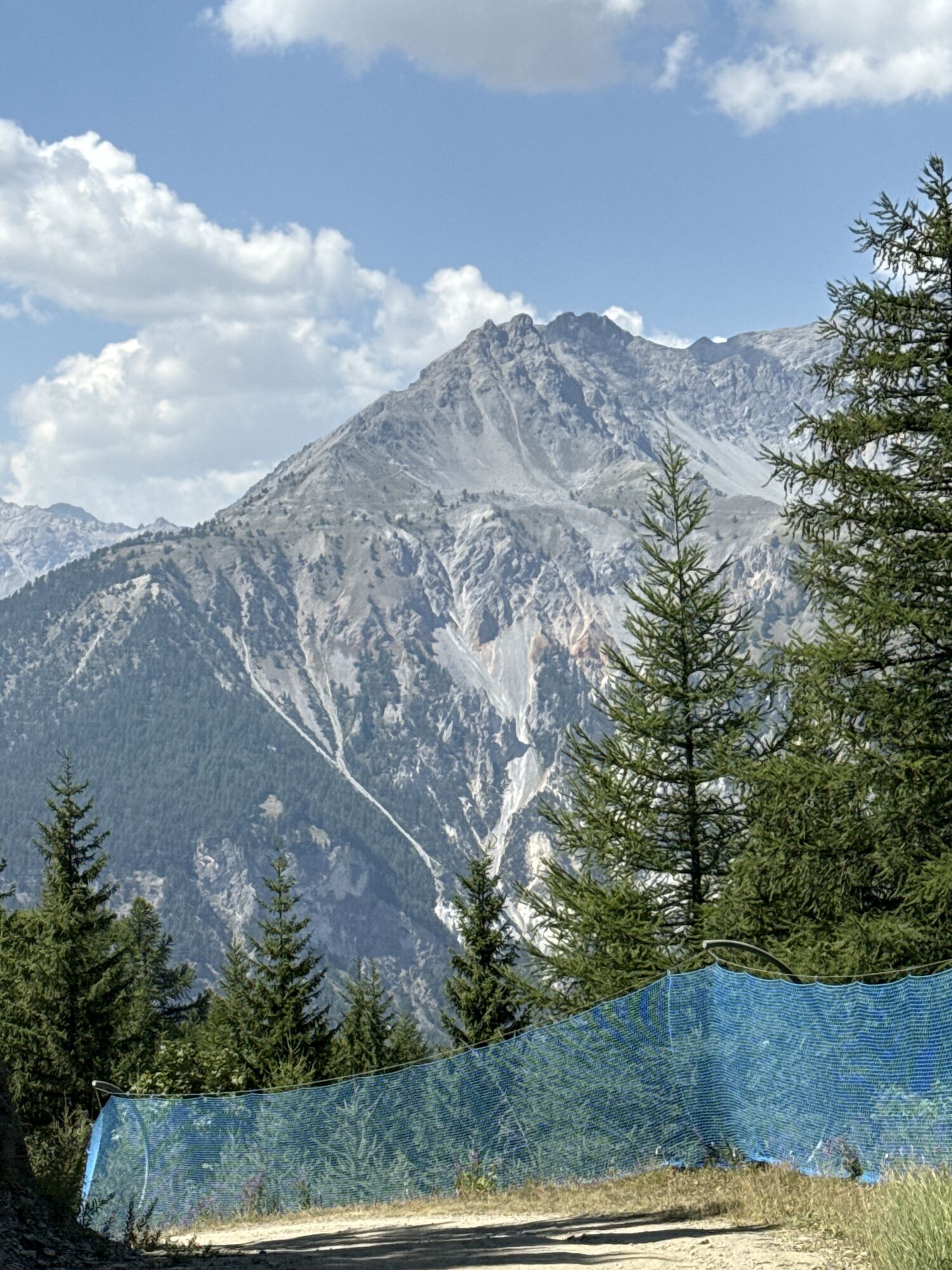
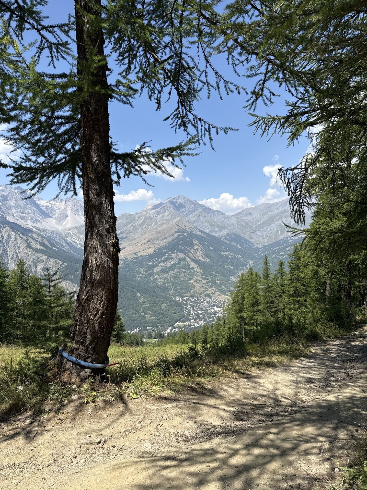
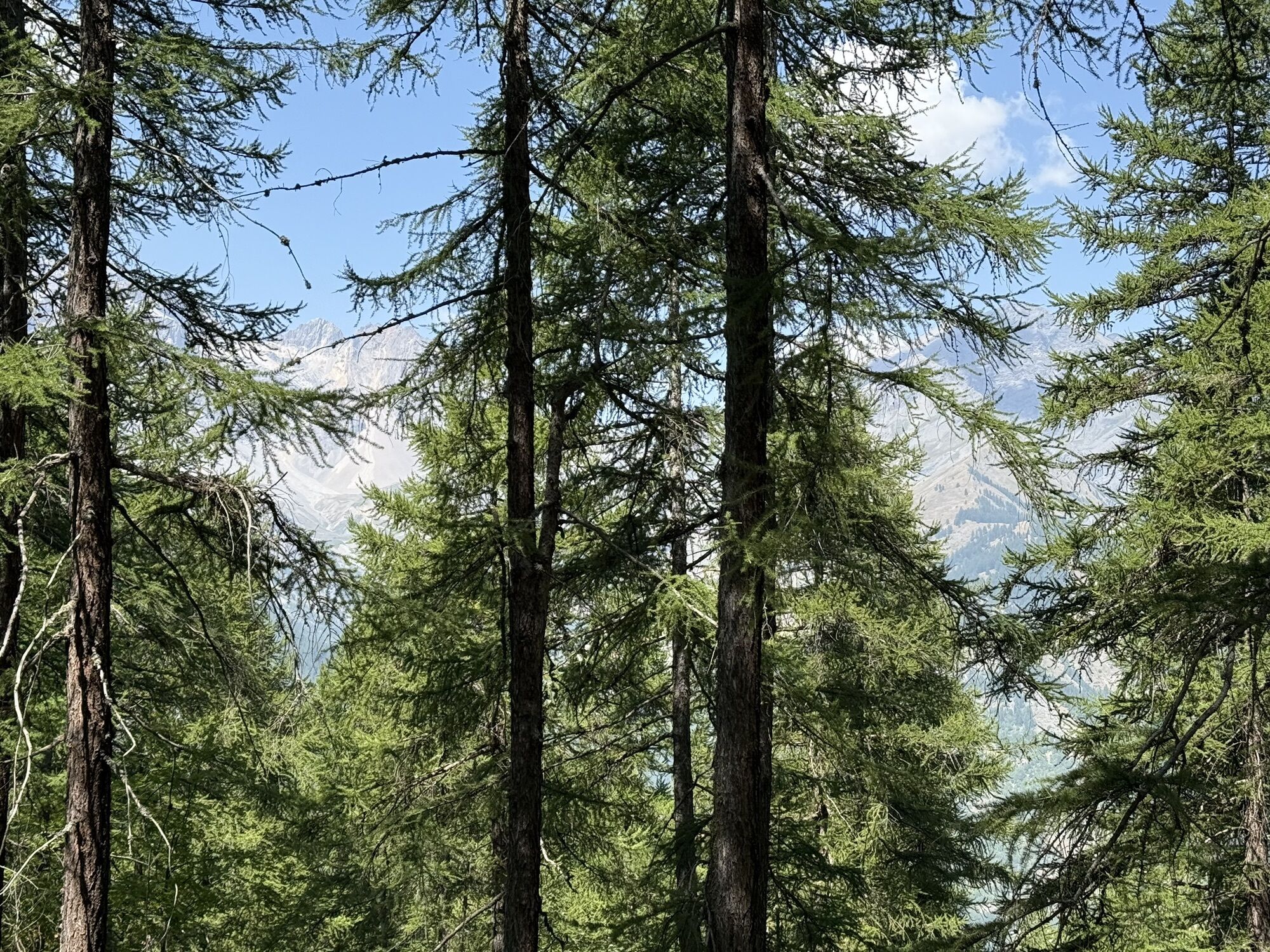
Along the entire ridge, you can enjoy the beauty of the panorama over the surrounding mountains and the villages below.
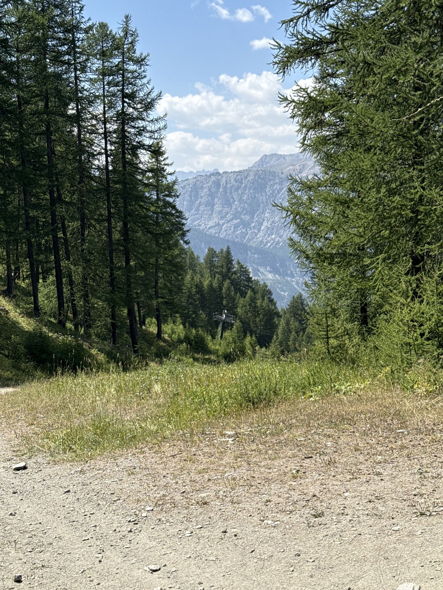
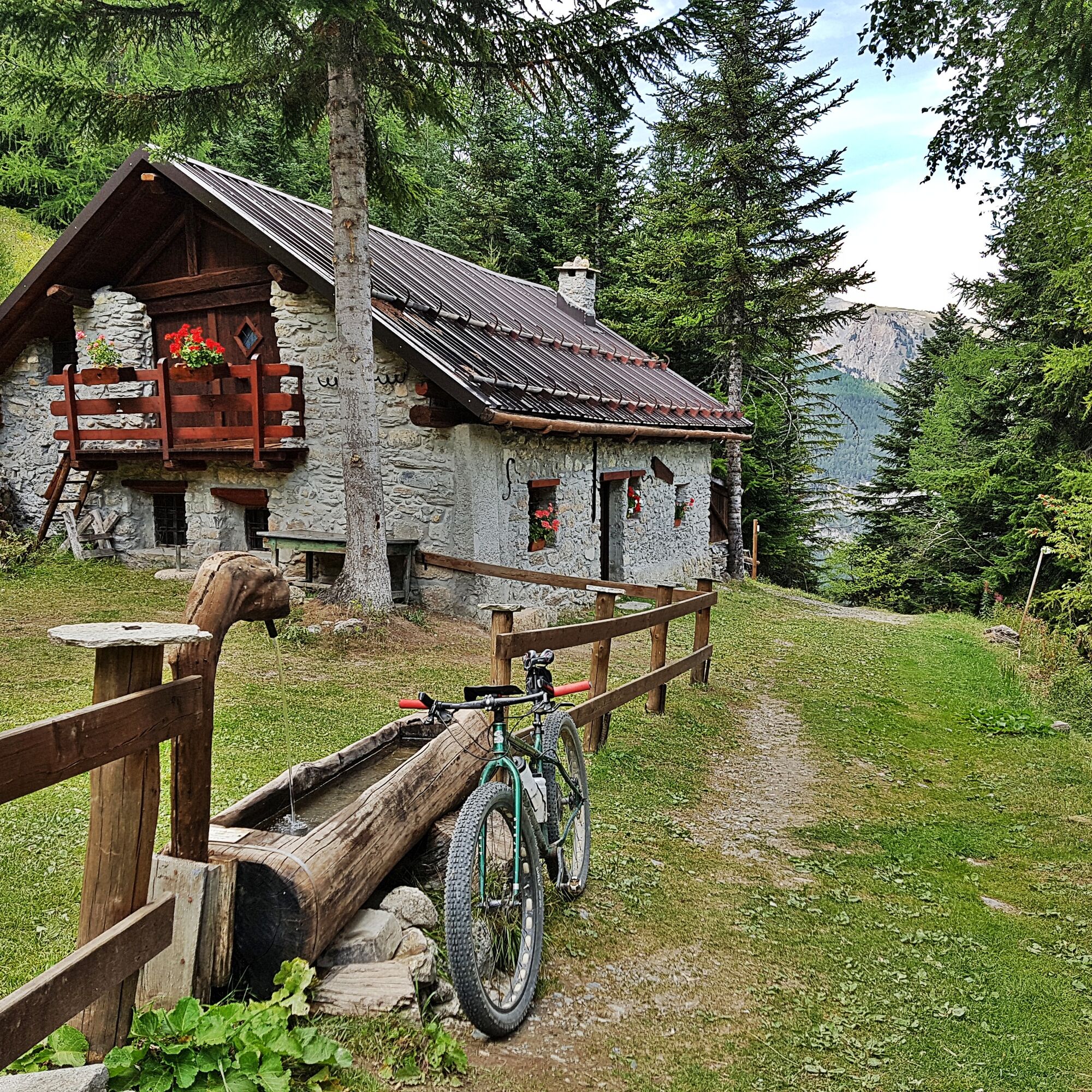
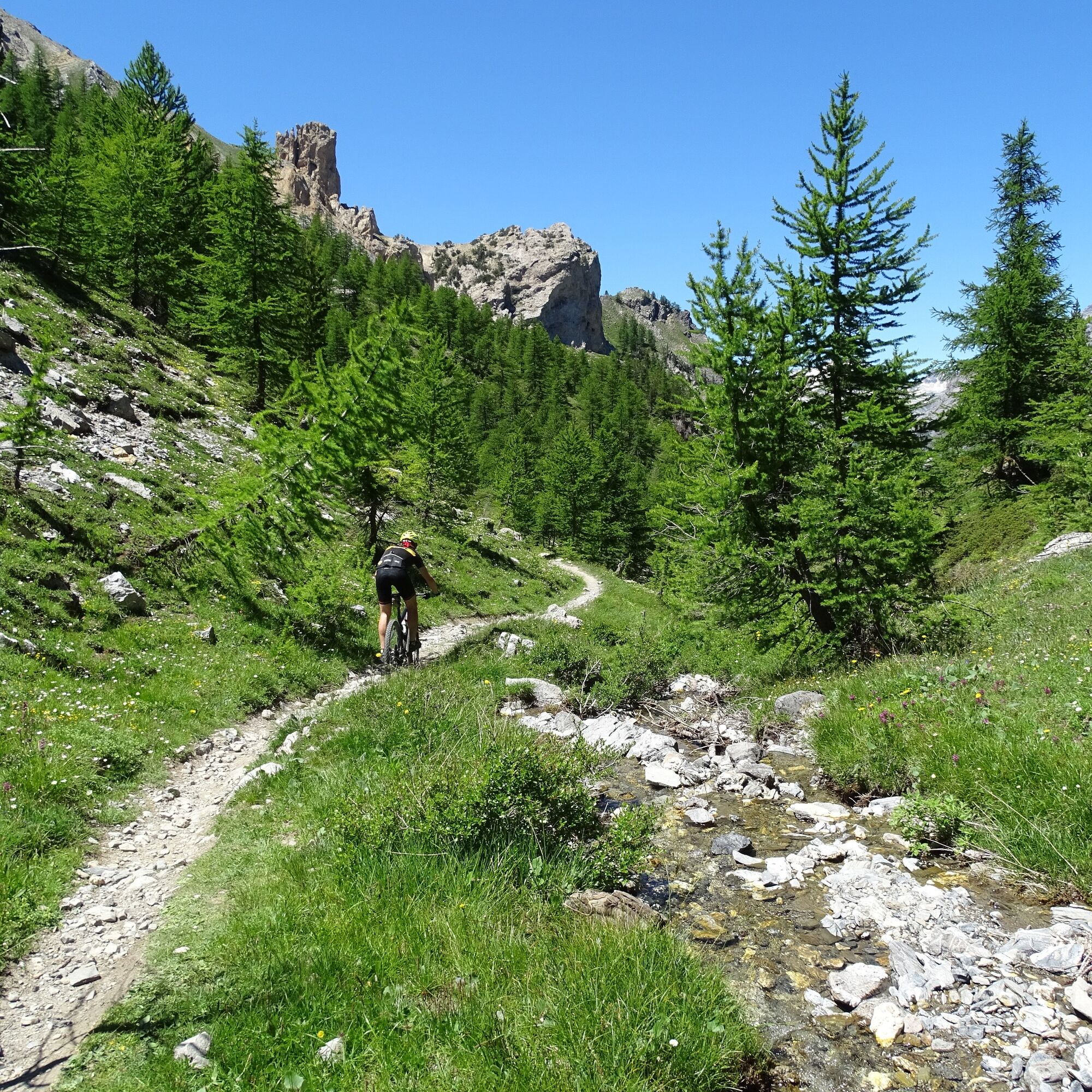
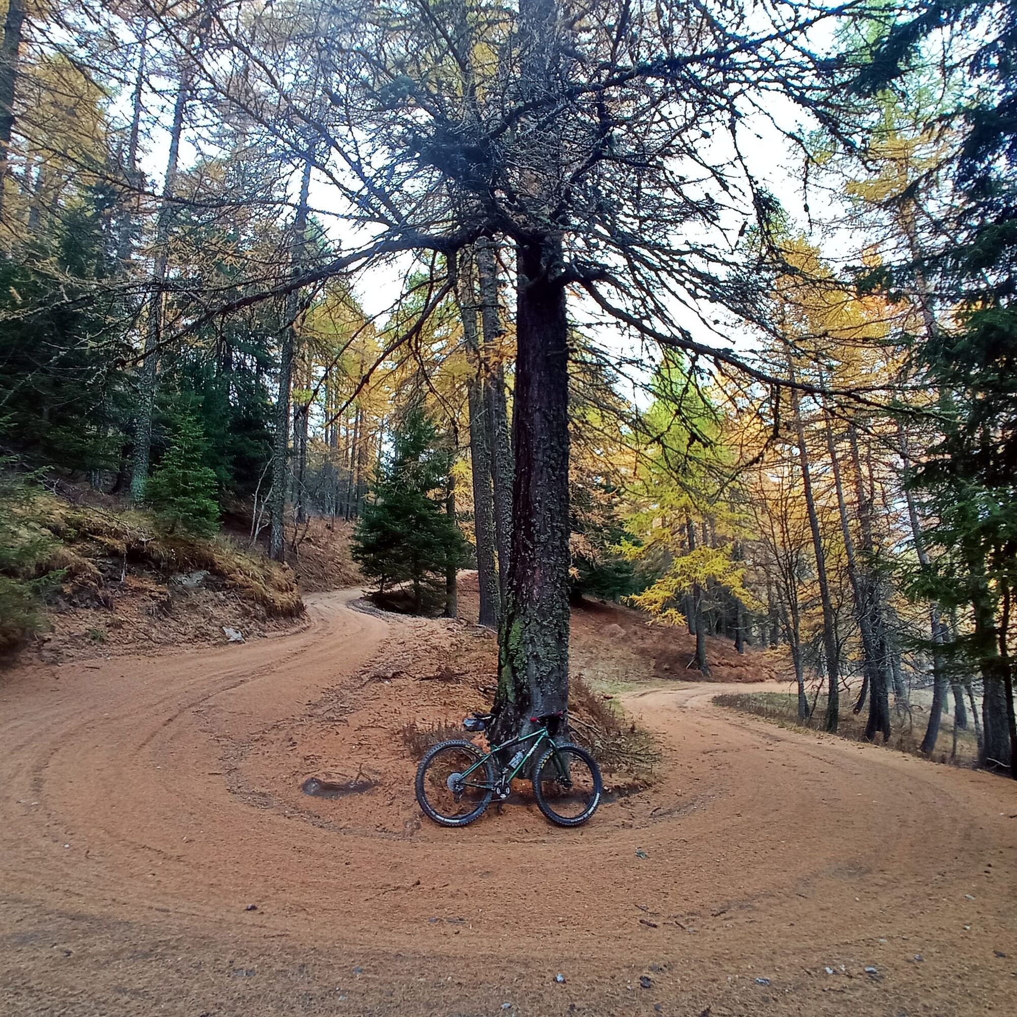
The descent is on a trail along the Vallone del Guiaud, leading first to Cols des Acles, then crossing the Grange Guiaud and the Grange Teppa, and finally reaching Pian del Colle.
Technical advice by Andrea Calzati - Cycling guide
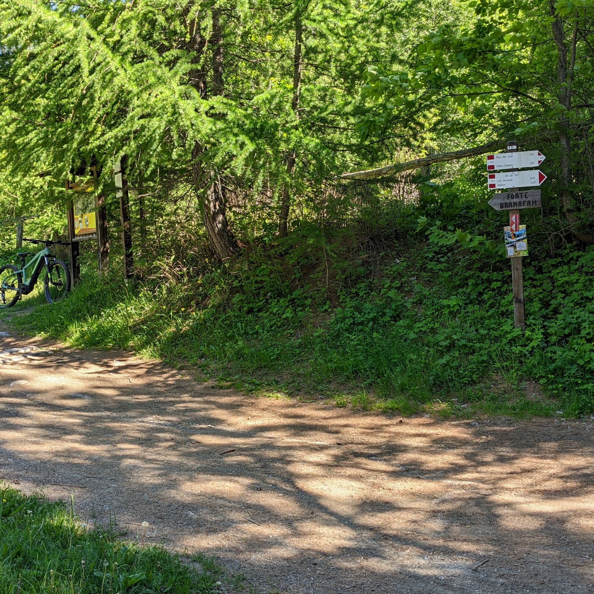
From Campo Smith, follow Viale della Vittoria, turn left onto Via Torino and at the junction take the SS335 towards Oulx. After a couple of kilometers on asphalt, turn right under the railway at the locality Rocca Tagliata, cross the bridge and climb towards Forte Bramafam. Continue to the intersection at the locality Quattro Strade, ignoring the junction to the fort. Take the left road that climbs in hairpin bends through the woods, ignoring the junction to Pian del Sole and reach Punta Colomion. Continue on the ridge road up to Passo della Mulattiera. Take the descending trail to Col des Acles and enter the Vallone Guiaud (a short stretch is not rideable and it may be necessary to do some portage). Descend until you reach Grange Guiaud, Grange Teppa and finally Pian del Colle. From here, merge onto the paved road, head towards Melezet, cross Les Arnauds and return to Campo Smith.
MTB
E-bike
The trail in Vallone Guiaud is particularly rough (some portage might be necessary).
The road is closed to motor vehicles on Wednesdays from Pian del Sole to Punta Colomion.
From Punta Colomion to Pian del Colle the road/trail is closed to motor vehicles.
By car:
- A32 Motorway Torino - Bardonecchia, Bardonecchia exit
- State Road 24: Torino - Oulx and then State Road 335: Oulx - Bardonecchia
Once you reach Bardonecchia, head towards Campo Smith
By train:
- Torino Porta Nuova - Bardonecchia line http://www.trenitalia.com
From Bardonecchia station head towards Campo Smith
Campo Smith parking areas
S3
Carry sufficient water supplies with you as there are no fountains along the route.
This route is part of the trail network easily accessible from the Sentiero Italia.
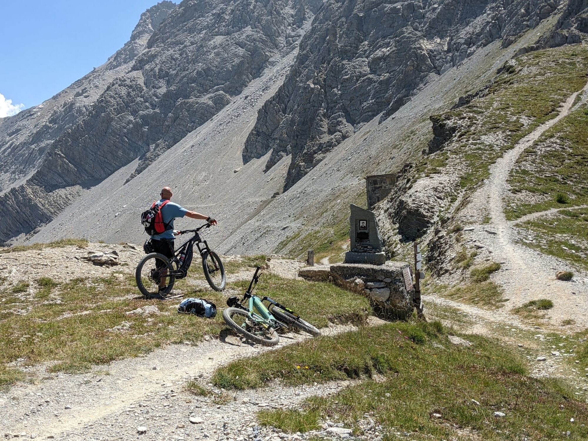
Take a break at the Bar Punta Colomion or at Passo della Mulattiera or at Col des Acles for a picnic and enjoy the view over the valley.
Priljubljeni izleti v okolici
- 4,5
BARDONECCHIA Pian del Colle - Valle Stretta
srednjaSnežni čevlji 5,02 km - 5,0
BARDONECCHIA Colle Sommeiller
srednjaMountainbike 25,4 km - 5,0
BARDONECCHIA Forte Jafferau Loop
težkoMountainbike 36,8 km - 5,0
BARDONECCHIA Green Lake
svetlobaPohodništvo 2,14 km - 5,0
BARDONECCHIA Decauville
srednjaPohodništvo 7,29 km - 5,0
BARDONECCHIA Col des Acles - Passo della Mulattiera
srednjaPohodništvo 6,23 km BARDONECCHIA Lago Verde
svetlobaMountainbike 10,7 kmBARDONECCHIA Monte Jafferau
težkoPohodništvo 11,6 kmGR® 57 Tour de la Haute-Clarée
srednjaPohodništvo 87,3 kmBARDONECCHIA - Loop Colle della Scala - Col de Montgenèvre - Colle del Sestriere
težkoCestno kolo 91,9 km

Pohodništvo in sledenje


Ne zamudite ponudb in navdiha za naslednje počitnice
Vaš e-poštni naslov je bil dodan na poštni seznam.