




Navigacija po spletni strani
Pridobite to turo v svoj mobilni telefon
Zemljevid
FFC cycling route no. 14: Tour of the lower Estéron valley
srednja
Cestno kolo
88.77 km
Skenirajte kodo QR in začnite navigacijo v aplikaciji bergfex.
QR Code
Pohodništvo in sledenje

FFC cycling route no. 14: Tour of the lower Estéron valley

Razdalja
88.77 km
Trajanje
05:00 h
Ascent
1,938 hm
Morska gladina
55 - 636 m

Stopnja težavnosti: 4

Prenos skladbe
Zemljevid
FFC cycling route no. 14: Tour of the lower Estéron valley
srednja
Cestno kolo
88.77 km

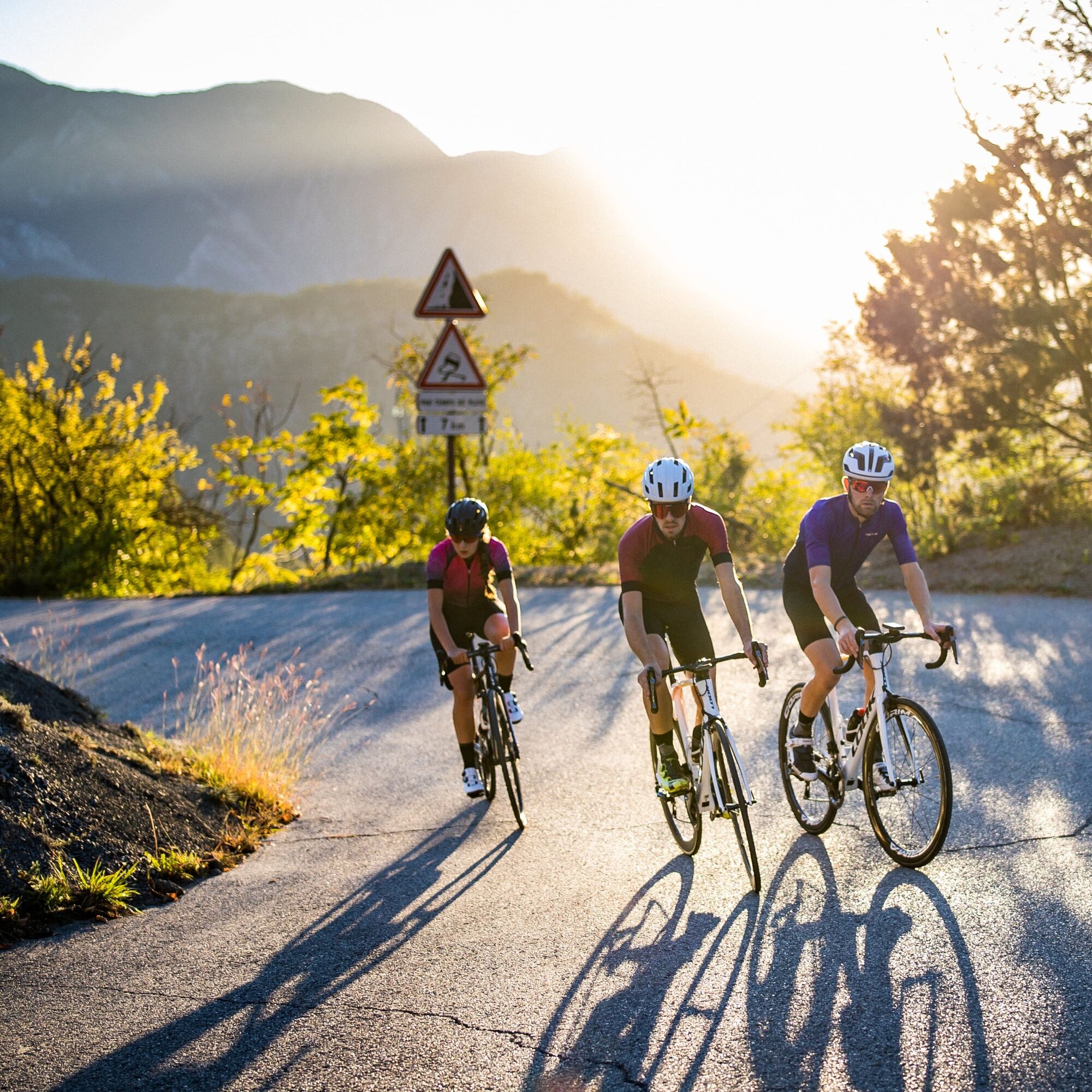
One of the best circuits in the Nice Côte d'Azur region, used by many local cyclists.

Set off on a wild, virtually traffic-free route, winding through plateaux and valleys to reach the village of Roquestéron....

Opis

One of the best circuits in the Nice Côte d'Azur region, used by many local cyclists.

Set off on a wild, virtually traffic-free route, winding through plateaux and valleys to reach the village of Roquestéron. The natural environment is perfect for cycling. The return journey to Nice follows the Estéron river below, renowned for its waterfalls and clues, much sought-after by fishing and canyoning enthusiasts. The route passes through former railway stations whose buildings are still standing: Vallon le Rac, Pierrefeu, Vescous and Collebelle, a reminder of the railway line that opened in 1924 between Pont-Charles-Albert and Roquestéron. The line was soon decommissioned (1929) and the rails dismantled.

All the outdoor activities of the Nice Côte d'Azur metropolitan area can be found at https://outdoor.nicecotedazur.org

Pot
Carros
(183 m)
Mesto
10.6 km
Chapelle Saint-Roch
(458 m)
Kraj čaščenja
15.0 km
Église Saint-Laurent
(611 m)
Kraj čaščenja
33.1 km
Chapelle Sainte-Pétronille
(348 m)
Kraj čaščenja
42.4 km
Église Notre-Dame-de-l'Assomption
(469 m)
Kraj čaščenja
63.5 km
Gilette
(471 m)
Vas
63.6 km
Carros
(183 m)
Mesto
82.4 km
Pot
Zemljevid
FFC cycling route no. 14: Tour of the lower Estéron valley
srednja
Cestno kolo
88.77 km
Colomars - La Manda
(63 m)
Železniška postaja
0.8 km
La Manda
(62 m)
Poravnava
0.9 km
Gattières
(287 m)
Vas
6.1 km
Carros
(183 m)
Mesto
10.6 km
Carros-Village
(393 m)
Poravnava
11.5 km
Chapelle Saint-Antoine
(448 m)
Kraj čaščenja
14.7 km
Le Broc
(444 m)
Vas
14.8 km
L'estragon
(453 m)
Restavracija
14.8 km
Chapelle Saint-Roch
(458 m)
Kraj čaščenja
15.0 km
Église Saint-Trophime
(637 m)
Kraj čaščenja
22.3 km
Chapelle Saint-Pons
(624 m)
Kraj čaščenja
22.6 km
Chapelle Saint-Bernardin
(639 m)
Kraj čaščenja
22.9 km
Bouyon
(641 m)
Vas
22.9 km
Les Ferres
(640 m)
Vas
28.5 km
Église Saint-Laurent
(611 m)
Kraj čaščenja
33.1 km
Conségudes
(647 m)
Vas
33.3 km
La Bouisse
(413 m)
Koridor/teren
36.8 km
Chapelle Sainte-Pétronille
(348 m)
Kraj čaščenja
42.4 km
La Roque-en-Provence
(339 m)
Vas
42.5 km
Roquestéron
(335 m)
Vas
42.7 km
Le Villars
(345 m)
Soseska
52.4 km
La Capeline
(353 m)
Restavracija
54.7 km
Vescous
(411 m)
Poravnava
55.0 km
Chapelle Saint-Pancrace
(446 m)
Kraj čaščenja
63.4 km
Église Notre-Dame-de-l'Assomption
(469 m)
Kraj čaščenja
63.5 km
Lou Countea
(456 m)
Restavracija
63.6 km
Gilette
(471 m)
Vas
63.6 km
Bar Restaurant des Chasseurs
(450 m)
Restavracija
63.6 km
Le Pont Charles-Albert
(150 m)
Poravnava
70.1 km
Le Broc
(444 m)
Vas
77.5 km
Carros-Village
(393 m)
Poravnava
81.2 km
Carros
(183 m)
Mesto
82.4 km
Colomars - La Manda
(63 m)
Železniška postaja
87.5 km
La Manda
(62 m)
Poravnava
87.7 km
Informacije o turneji

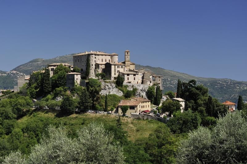
A very challenging loop offering incredible views of the lower Var valley and the Mercantour Massif, passing through the typically Provençal villages of Le Broc, Bouyon and Conségudes, to Roquestéron and returning via the medieval village of Gilette.

Tehnologija
4 / 6
Stanje
3 / 6
Pokrajina
4 / 6
Izkušnje
4 / 6
Dostopno vse leto
Jan
Feb
Mar
Apr
Maj
Jun
Jul
Avg
Sep
Okt
Nov
Dec
Skupna turneja
Zemljevid
FFC cycling route no. 14: Tour of the lower Estéron valley
srednja
Cestno kolo
88.77 km
Napaka
Zgodila se je napaka. Prosimo, poskusite znova.
Informacije o poti
Pot
To reach the cycle path from the starting point, take the RM 6202 for 1 km. When you reach the Pont de La Manda, on the left-hand side of the road, turn carefully left to cross to the other side of the Var. At the large roundabout, follow signs for Carros village- Le Broc. At the second roundabout, take the 3rd exit and keep right towards Gattières-St Jeannet on the RM2 210. At the top of Gattières(Km 6.1), at the roundabout, take the 1st exit towards Carros Village on the RM 1. Continue on the RM1 through Carros Village, then Le Broc and Bouyon. Below this village, at the junction of the RD 1 with the RD 8 (km 23.1), continue on the RD 1, turning right towards Les Ferres-Conségudes-Roquestéron. Once you have passed the junction with the village of Conségudes (Km 33.2), the road descends into the foothills of the Estéron river; the road is narrow and very winding. At the entrance to Roquestéron-Grasse, after passing through a hamlet of closely spaced houses, the road crosses the Estéron. Shortly afterwards, turning right onto the RD 17 towards Pierrefeu - Saint-Martin du Var(Km 43.3), the road joins the Estéron again and leads us towards Gillette, after crossing the Col de Colebelle. The narrow passage through Gillette (km 64) heralds the descent into the Var valley. At the bottom of the descent, at the roundabout (Km 71.2), take the 1st exit towards Nice-Carros-Le Broc on the RM 901. The route crosses 2 successive roundabouts and crosses the Estéron via the Pont Louis Nucéra, a writer from Nice whose passion was cycling, the subject of many of his books. At the end of the bridge(Km 73), turn right onto the RD 2209 towards Le Broc. At the end of a long straight stretch, at a place called Les Iscles, the ascent to Carros begins, 8 km long but easy especially in the last few km. Keep following the RD 2209, and at the junction of the 4 chemins de Carros village, the road turns left via Nice-Digne-Carros(Km 82.4). From here, a rapid descent takes you back to the Pont de la Manda and the starting point on the RM 6202.
Oprema

Wear an approved helmet
Check the condition of your tyres
Take a repair kit with you in case of a puncture
Prefer at least one flashing LED light to be fixed to the seatpost so that you can be seen by other motorists, particularly in small tunnels.

Varnostna navodila

BASIC RULES

Choose a route suited to your physical condition and do not overestimate your abilities. Remember to carry identification and a number to call in case of danger Respect traffic lights Preferably use cycle paths where they exist, otherwise a sign may require you to do so: If the "cycle path" sign is square: you decide. If it is round, you mustuse the lane . Respect the environment and other road users

THE RIGHT REFLEXES FOR RIDING IN A GROUP

Riding two abreast is permitted, but you must keep to a single file: at dusk or when visibility is poor when a vehicle wanting to overtake announces its approach. In the event of a breakdown, move to the side of the road, not the carriageway. Come to a complete stop for the whole group at stop signs, yellow lights and fixed or flashing red lights. Communicate within the group and use verbal language and body language to signal an obstacle or a vehicle. A simple gesture or word is all it takes to avoid a fall or an accident.
Informacije o prihodu
Prihod

From Nice, take the Route du Mercantour (M 6202)

Served by the A8 "La Provençale" motorway, coming from Aix-en-Provence to the west and Italy to the east:

Exit 52: Saint-Isidore

Direction Digne

Javni prevoz

Bus routes can be found at: https://www.lignesdazur.com

Parkirišče

A few free spaces are available around the Colomars roundabout, where the panoramic departure point is located, on the M6202 dual carriageway.

Dodatne informacije in nasveti
Stopnja težavnosti

4

Dodatne informacije

All the outdoor activities in the Nice Côte d'Azur region can be found at https://outdoor.nicecotedazur.org
Nasveti

Circuit for experienced cyclists - FFC colour: Black

Še ni pregledov
Napišite pregled

Mnenja pomagajo drugim uporabnikom pri izbiri naslednje pustolovščine. Ocenite samo izlet, ne pa tudi vremena ali prigrizka.

Izberite eno od zvezdic, da ocenite ogled
Slaba turneja
Šibka turneja
Povprečna turneja
Dobra tura
Odlična tura

Spletne kamere s turneje

bergfex logo Pridobite vpogled Vedno v živo na mestu z več kot 9.500 spletnimi kamerami. bergfex Kot uporabnik Pro si lahko zdaj ogledate ustrezne spletne kamere za številne izlete v aplikaciji izleti iz. Tako si lahko neposredno ogledate trenutne razmere.
Pohodništvo in sledenje

Pohodništvo in sledenje

Pohodništvo in sledenje
Zaradi več kot 550.000 predlogov izletov, podrobnih zemljevidov in intuitivnega načrtovanja poti je aplikacija obvezna oprema za vse ljubitelje narave.
bergfex


