







FFC MTB route no. 25: The summit of Broc
Stopnja težavnosti: S0
All outdoor activities of the Métropole Nice Côte d'Azur are on https://outdoor.nicecotedazur.org

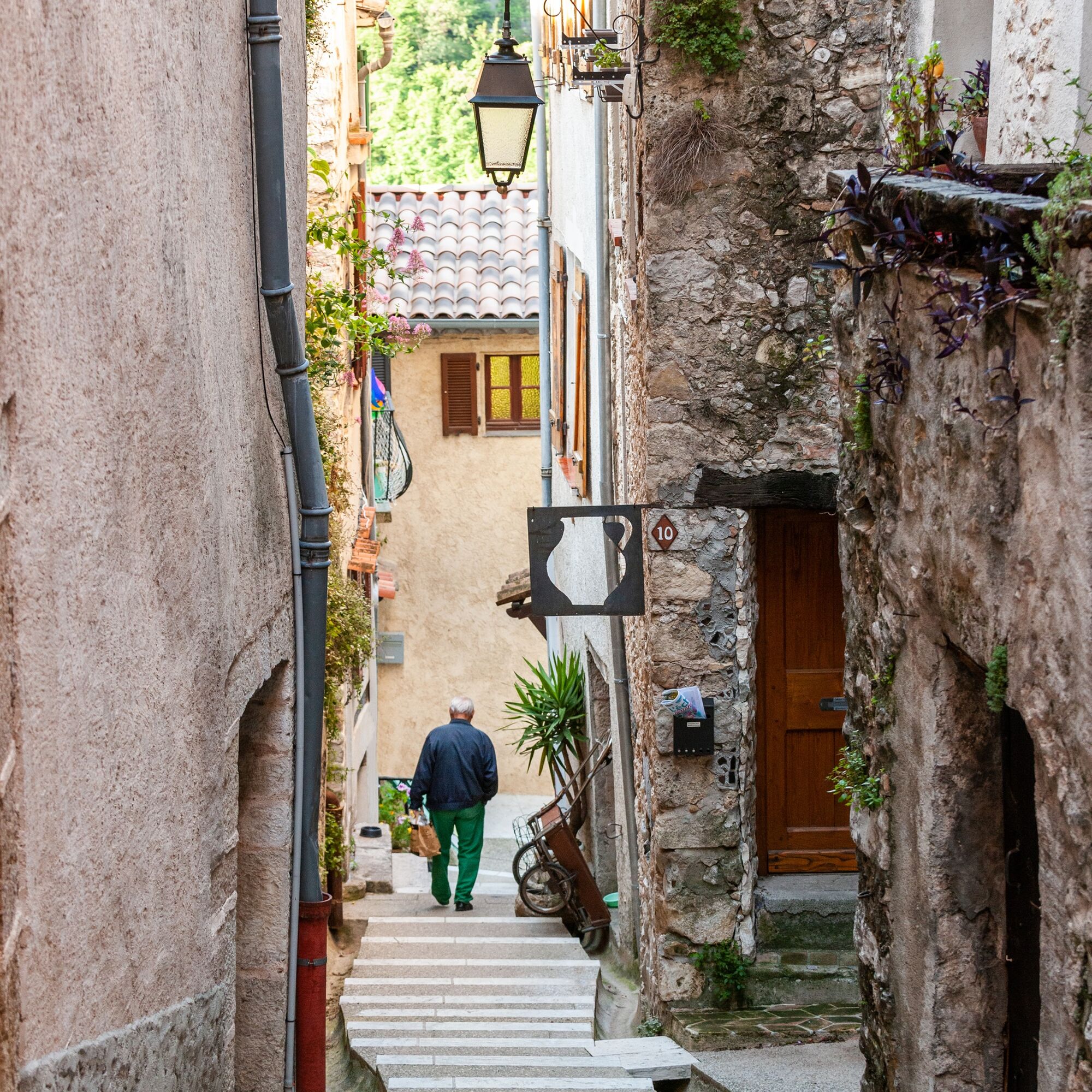
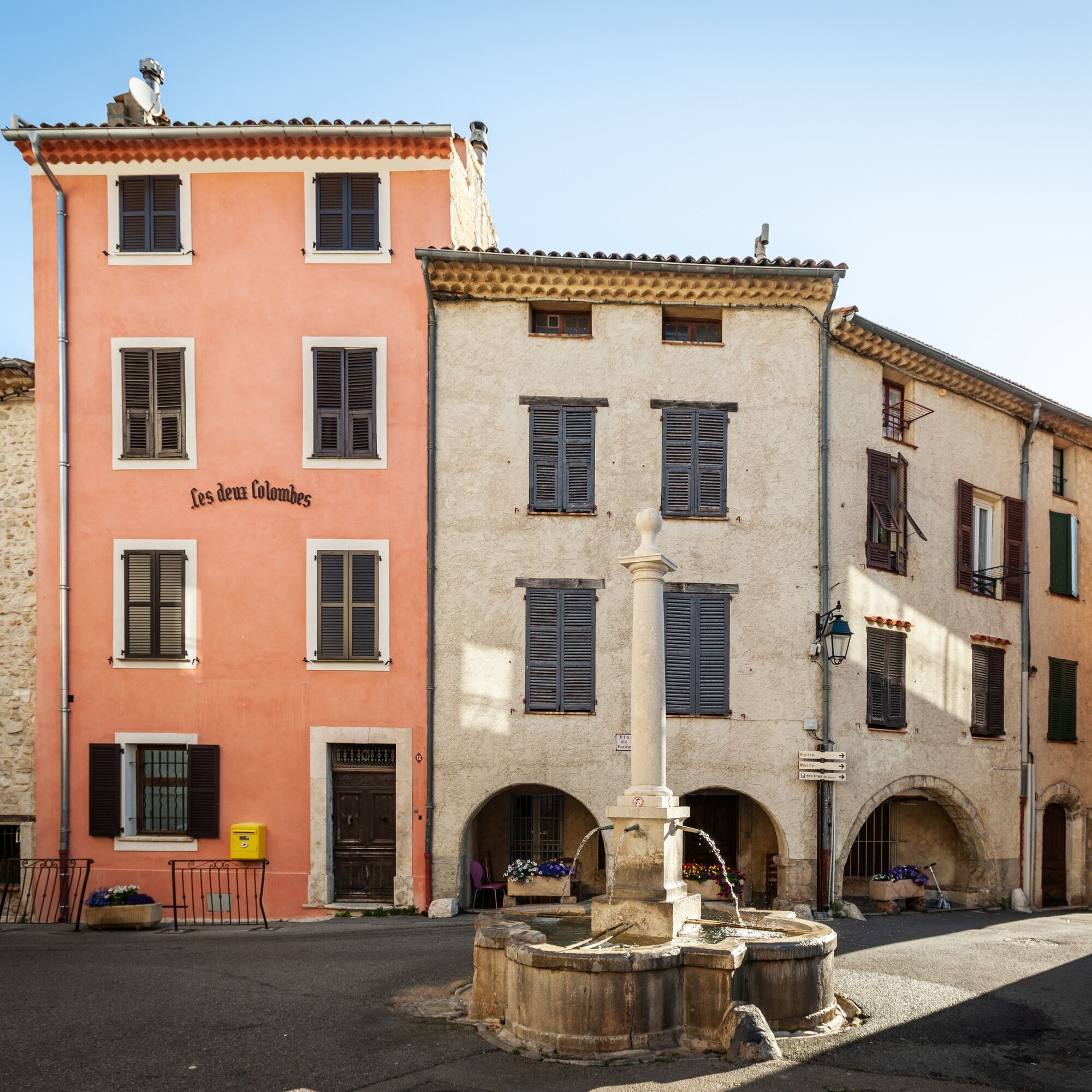

The departure is from the parking lot located below the village of Le Broc.
Cross the village and turn right onto the M1 road towards Bouyon.
At the place called Lescamps on the M1 road, take a path on the left towards the Fontone district.
At the end of the Berdine path, turn left onto a small road that rises and winds through the vegetation.
This road turns into a track and runs alongside the "Font de roche" valley.
At the pedestrian marker, take the track to the right towards the hamlet of Combes through the "Gravière" valley.
700 m after the hamlet of Combes, at marker 135, take a path that climbs on the left towards the Chier mountain and the summit of Mouton d’Anou.
Follow the rather rocky and technical track that reaches pedestrian marker 138 A, turn left onto the gas track to the bottom of the Sine valley (marker 57) then go to the summit of Broc.
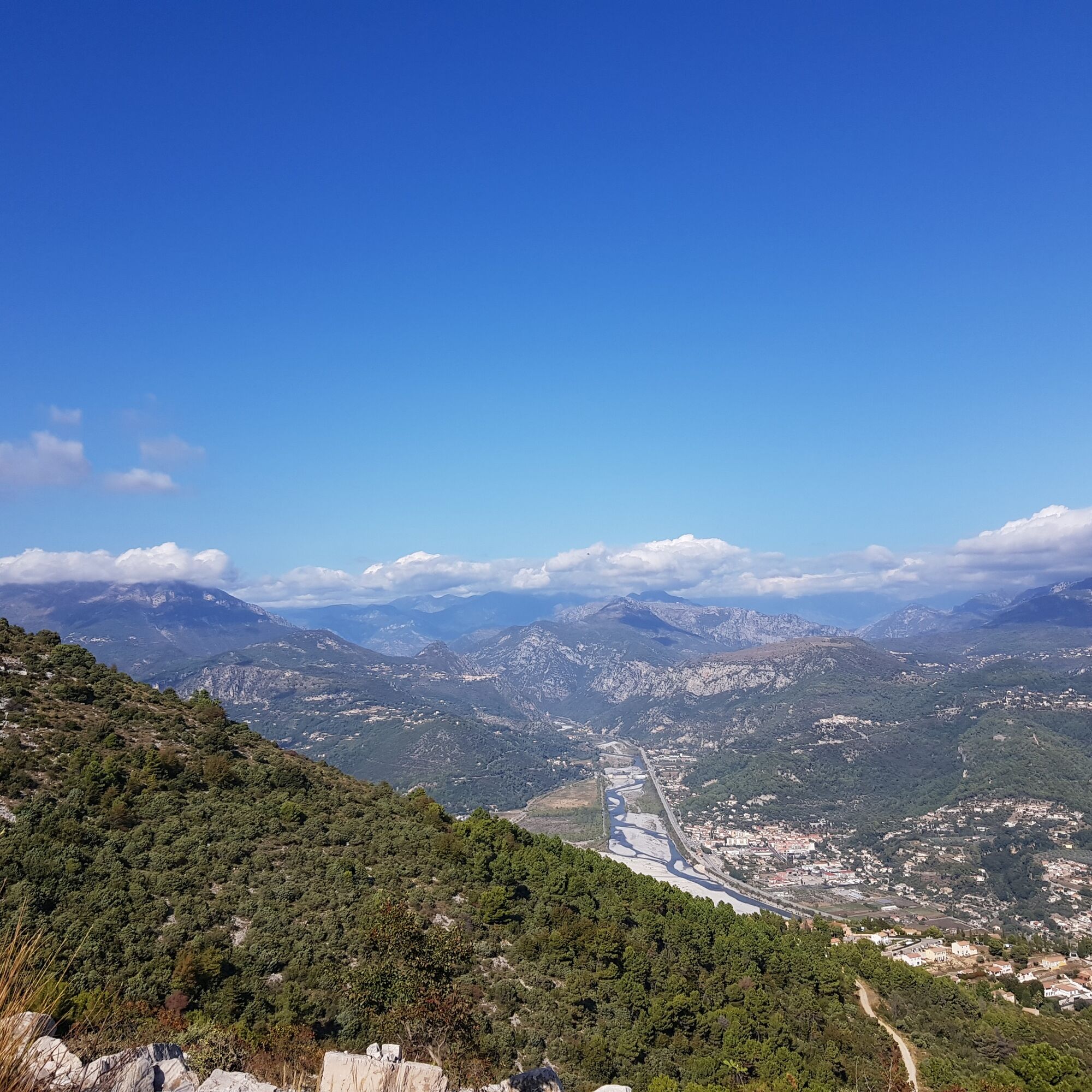
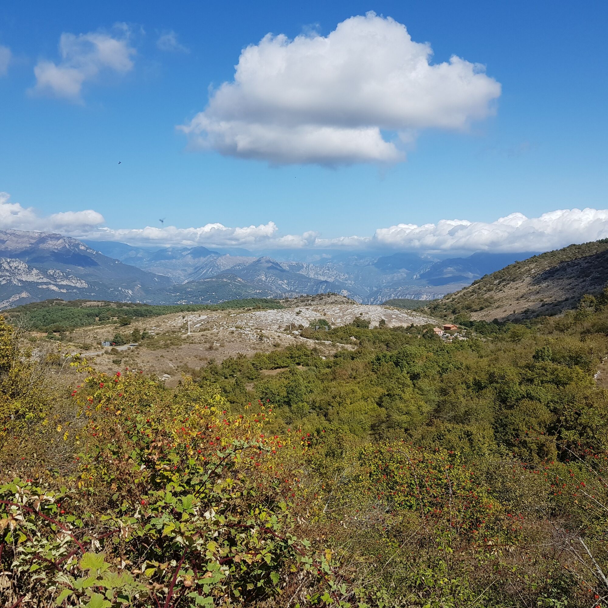
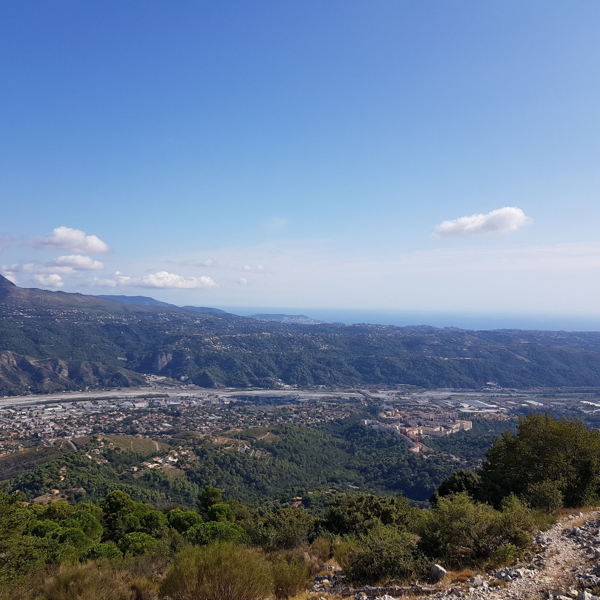
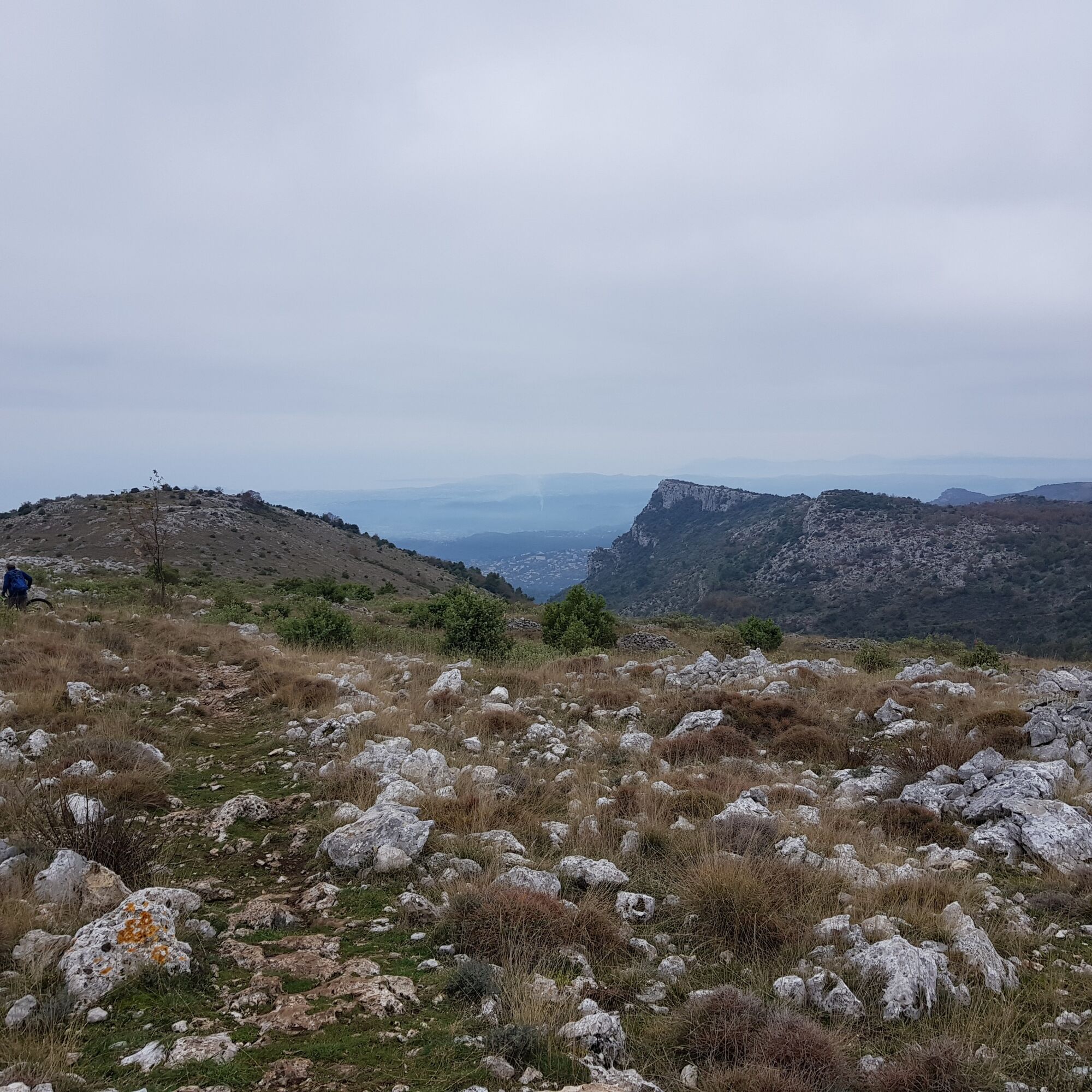
Exceptional view of the Var and the entire coast from Monaco to Cannes. The very steep track descends back to Le Broc.
Da
Wear a helmet, bring protective gear and repair accessories.
Watch the weather: Mountain weather changes quickly, bring warm clothing.
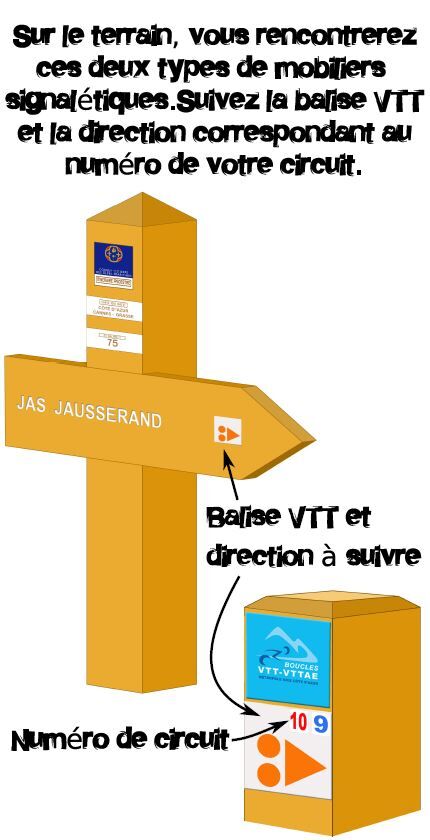
Follow the marked trails, do not take shortcuts and respect the direction of the routes.
Before starting a route, check that it suits your level, check the condition of your MTB and leave your route details with someone.
Be careful, courteous and slow down when overtaking other users.
Be extra cautious during hunting periods and inquire about ongoing hunts.
If you encounter livestock guardian dogs (= patous), get off your bike, avoid sudden movements and go around the herd.
Respect private property, cultivated areas, and close gates after passing.
Be eco-friendly: take your waste with you and respect wildlife and flora for preserved nature.
Always carry the IGN map corresponding to the concerned route.
About 30 minutes from Nice airport.
From Nice, take the M6202Bis road towards Grenoble/Digne/Carros/Gattières take the exit towards M6210/Colomars/Gattières/Carros, continue on M6210 then take the M1 towards Le BrocThe Lignes d’azur network offers a single fare across the entire Métropole Nice Côte d’Azur. Validation is mandatory each time you board the bus regardless of the ticket used. To check all fares, click here: www.lignesdazur.com
Free parking
S0
This route may be less enjoyable in July/August due to the heat
Picnic table after the summit of Broc, halfway down, with views of the coast and the Var!
Near the summit of Broc, you can join an eastern ridge track up to the baou and thus enjoy the exceptional view
Priljubljeni izleti v okolici
Nice - Aspremont / Pagarine Route (stage 1)
srednjaPohodništvo 15.8 km- 4.0
Little hike in Aspremont: Mont Chauve circuit
svetlobaPohodništvo 6.49 km Grande Randonnée® de Pays: Lou Camin Nissart
težkoPohodništvo v daljavo 44.7 kmFFC bike circuit no. 5: on the Tour De France routes (big loop)
srednjaCestno kolo 74.2 kmFFC bike circuit no. 8: the 70.3 circuit (Half IRONMAN)
srednjaCestno kolo 92.8 kmFFC bike route no. 7: Tour of Vence
svetlobaCestno kolo 57.7 kmA short walk in Saint-Jeannet : Les Baous de la Gaude and St-Jeannet
srednjaPohodništvo 12.2 kmThe "Route des Paysages" between the coast and the middle country of Nice
svetlobaMotorno kolo 147.7 kmVTT FFC circuit no. 7 - The Olive Trees Loop
svetlobaMountainbike 8.09 kmFFC mountain bike circuit no. 1: The Mont Chauve route
srednjaMountainbike 11 km
Pohodništvo in sledenje


Ne zamudite ponudb in navdiha za naslednje počitnice
Vaš e-poštni naslov je bil dodan na poštni seznam.





