







Mountain Bike FFC Route no. 24: La chapelle Sainte-Marguerite
All outdoor activities of the Métropole Nice Côte d'Azur are on https://outdoor.nicecotedazur.org

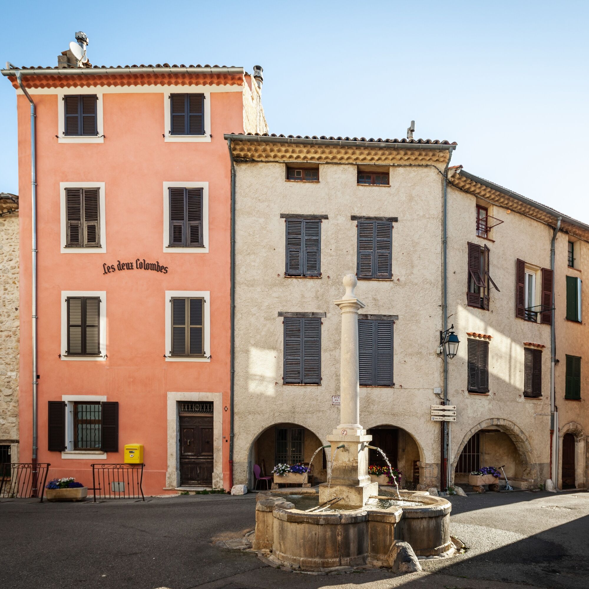
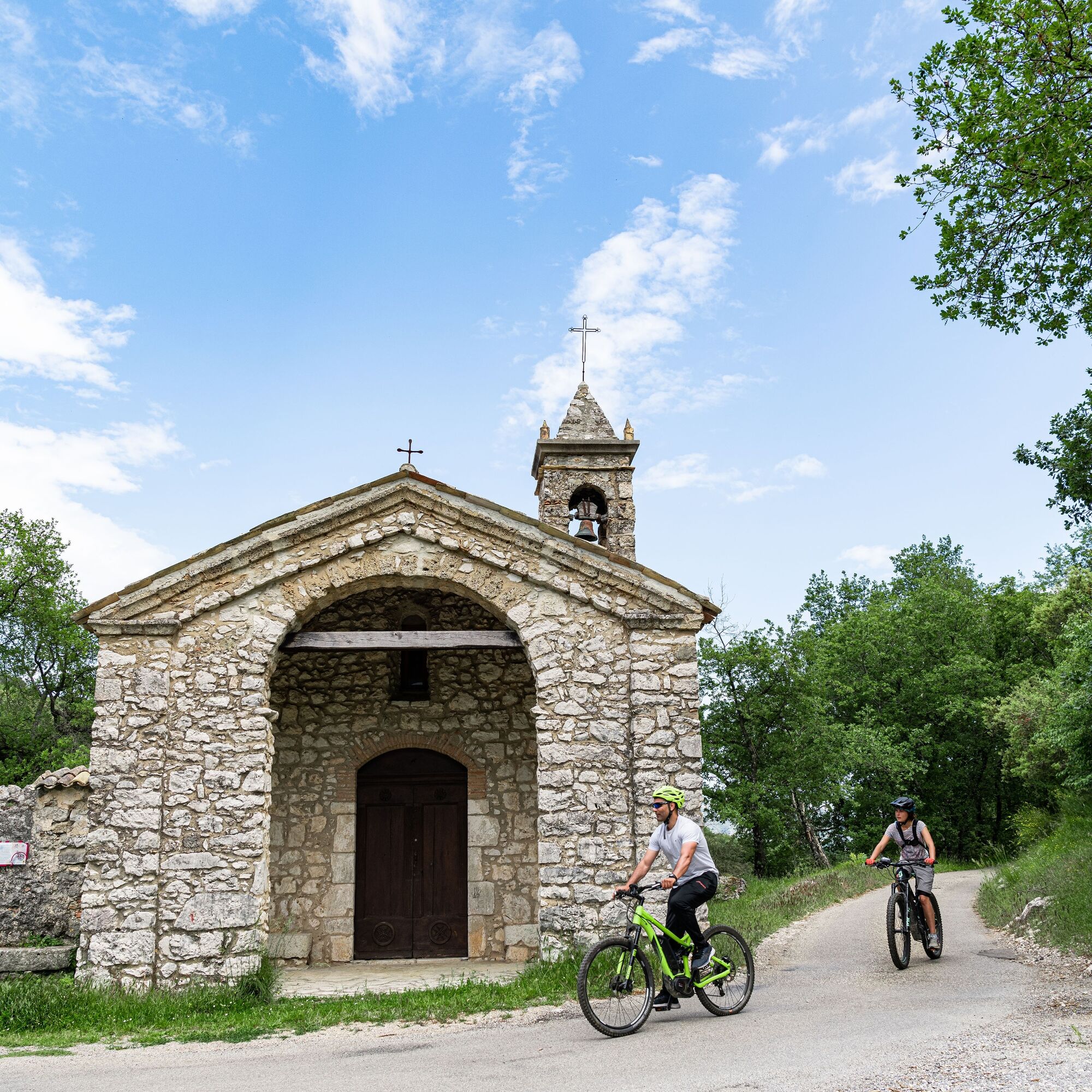

The start is from the parking lot located below the village of Le Broc.
Cross the village and turn right onto the M 1 road towards Bouyon.
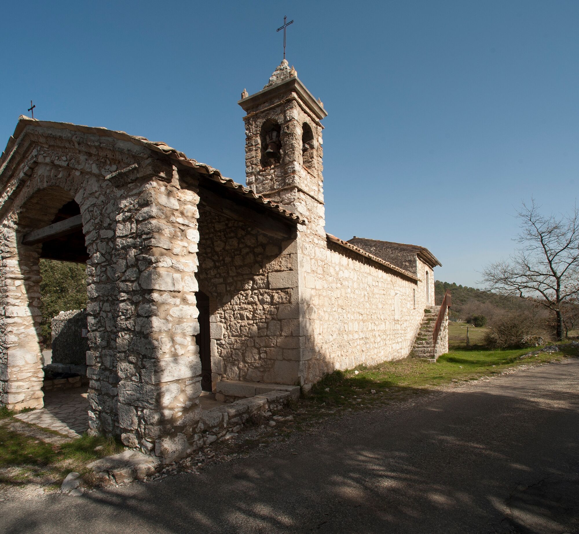
After 700 m, take a small road to the right (M 201) leading to the chapelle Sainte-Marguerite.
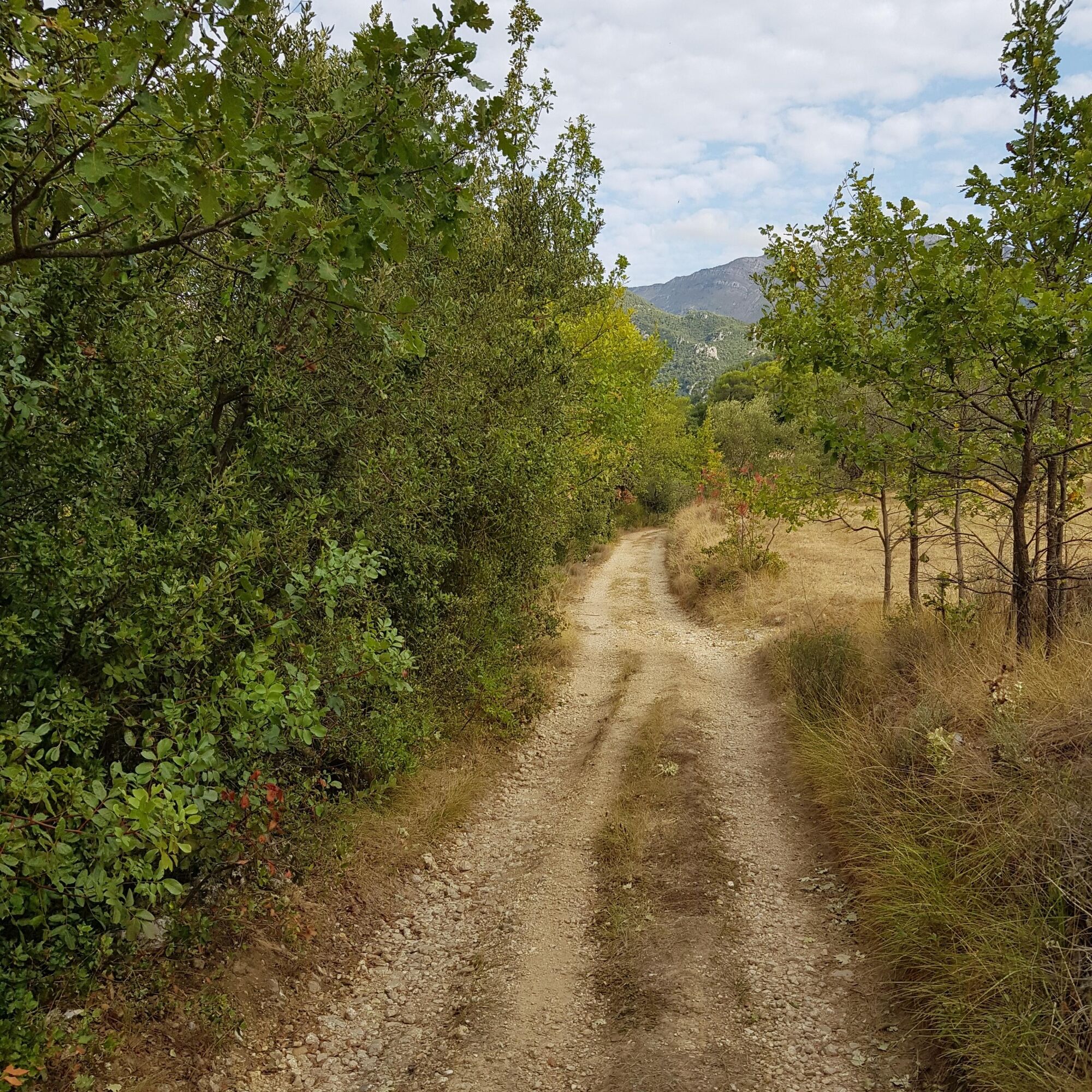
Upon reaching it, take the Porti Solo road to completely circle the Château de Fougassière towards “petit plan.”
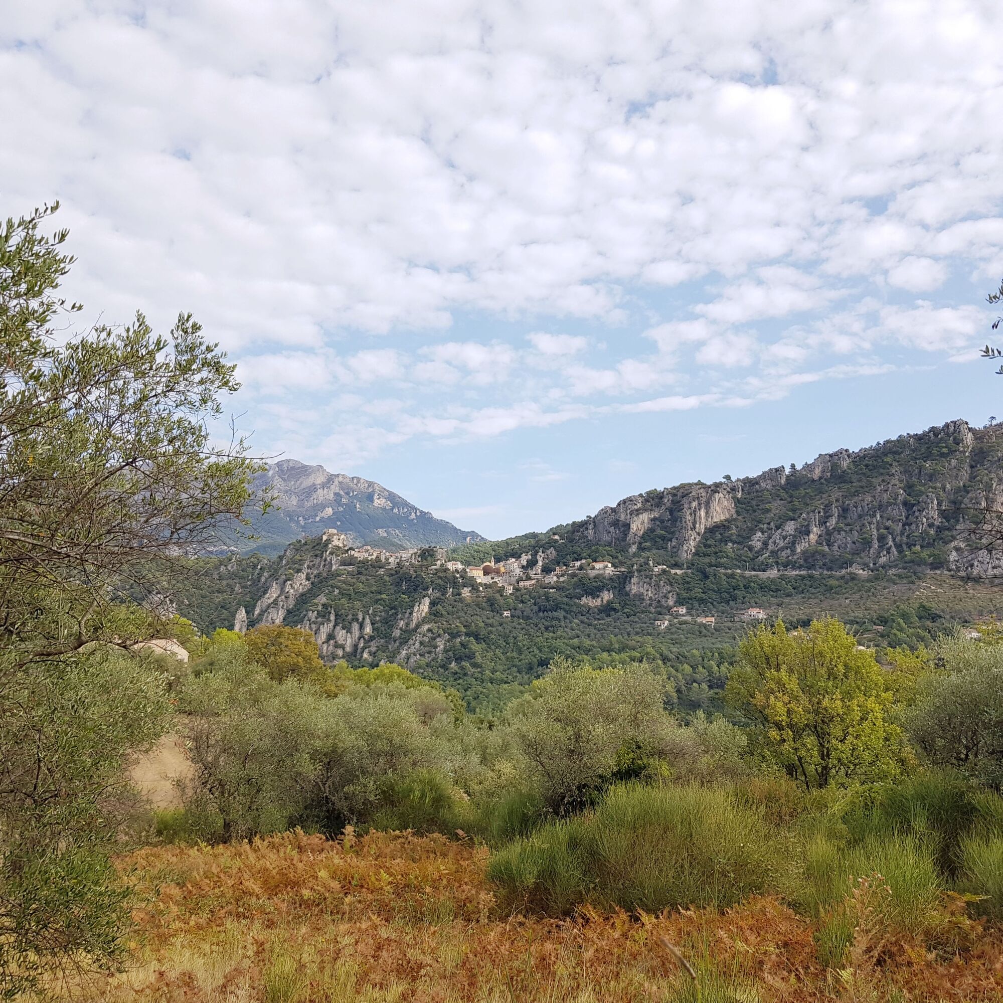
Then follow the direction “circuit du Petit plan” then “le Plan,” the road changes into a track and reveals a magnificent viewpoint overlooking the perched village of Gillette and the peaks of Ascros.
Back at the chapel, return to the starting point by the same route during which you will enjoy a magnificent view of the Var valley and the Broc Lake.
Da
Wear a helmet, bring protective gear and repair accessories.
Watch the weather: Mountain weather changes quickly, bring warm clothes.
Follow the marked trails, do not take shortcuts and respect the direction of the routes.
Before starting a route, make sure it suits your level, check the condition of your mountain bike and leave your route with someone.
Be careful, courteous and slow down when overtaking other users.
Be extra vigilant during hunting season and inquire about any ongoing hunts.
If you encounter herd guardian dogs (patous), get off your bike, avoid sudden movements and go around the herd.
Respect private property, cultivated areas and close gates after passing.
Behave environmentally responsibly: take your trash with you and protect wildlife and plants for preserved nature.
Always make sure to carry the IGN map corresponding to the route concerned.
Parking des prés - Route Pont Charles Albert Le Broc
Follow the mountain bike markings corresponding to the route number: The route is marked with orange "VTT FFC" arrows showing the circuit numbers to follow.
Priljubljeni izleti v okolici
-
Nice - Aspremont / Pagarine Route (stage 1)
srednjaPohodništvo 15.8 km -
4.0
Little hike in Aspremont: Mont Chauve circuit
svetlobaPohodništvo 6.49 km -
Grande Randonnée® de Pays: Lou Camin Nissart
težkoPohodništvo v daljavo 44.7 km -
FFC bike circuit no. 5: on the Tour De France routes (big loop)
srednjaCestno kolo 74.2 km -
FFC bike circuit no. 8: the 70.3 circuit (Half IRONMAN)
srednjaCestno kolo 92.8 km -
FFC bike route no. 7: Tour of Vence
svetlobaCestno kolo 57.7 km -
A short walk in Saint-Jeannet : Les Baous de la Gaude and St-Jeannet
srednjaPohodništvo 12.2 km -
The "Route des Paysages" between the coast and the middle country of Nice
svetlobaMotorno kolo 147.7 km -
FFC MTB route no. 25: The summit of Broc
srednjaMountainbike 18.9 km -
VTT FFC circuit no. 7 - The Olive Trees Loop
svetlobaMountainbike 8.09 km
Pohodništvo in sledenje


Ne zamudite ponudb in navdiha za naslednje počitnice
Vaš e-poštni naslov je bil dodan na poštni seznam.





