







MTB FFC circuit no. 50: le Calamel
All outdoor activities in the Nice Côte d'Azur Metropolis are on https://outdoor.nicecotedazur.org

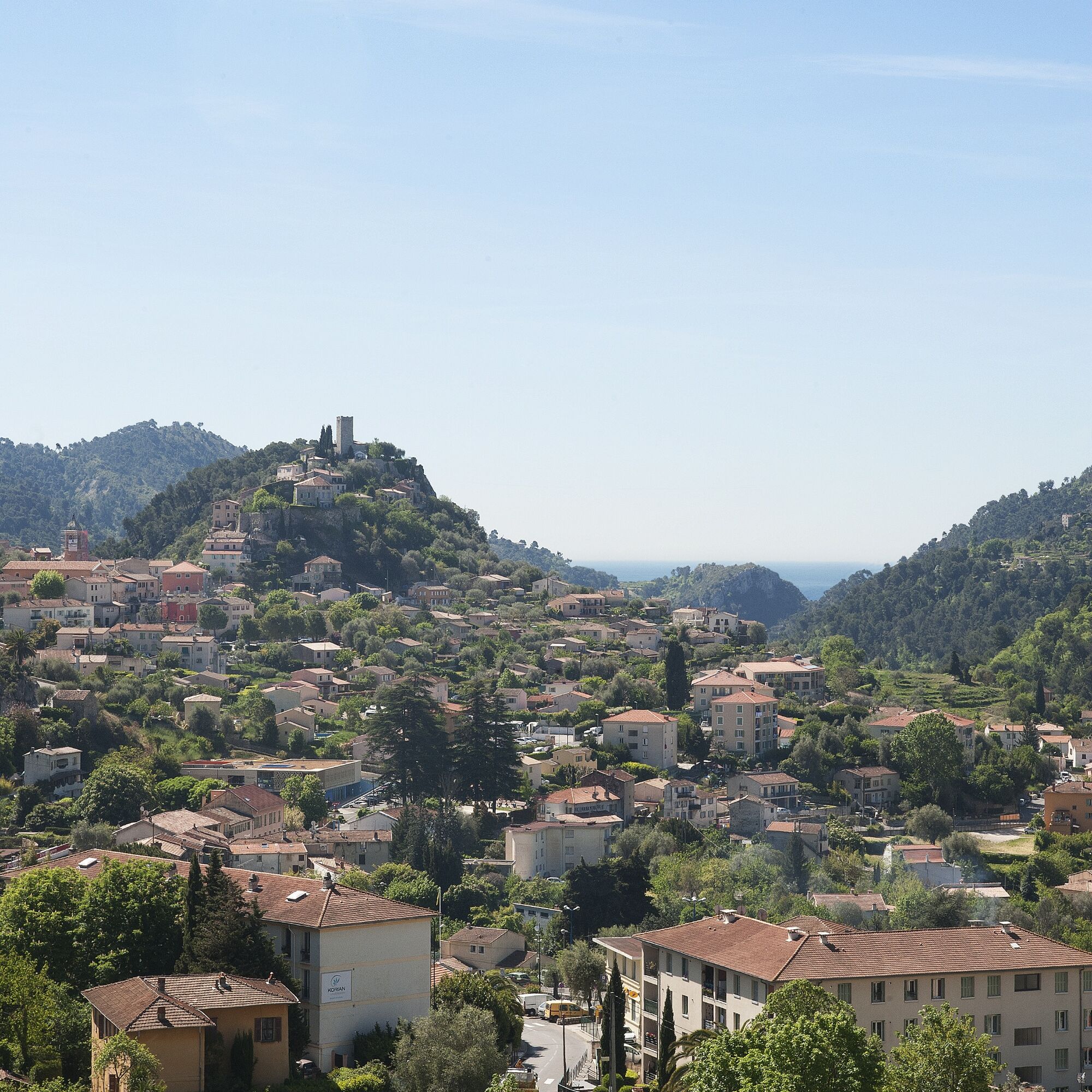
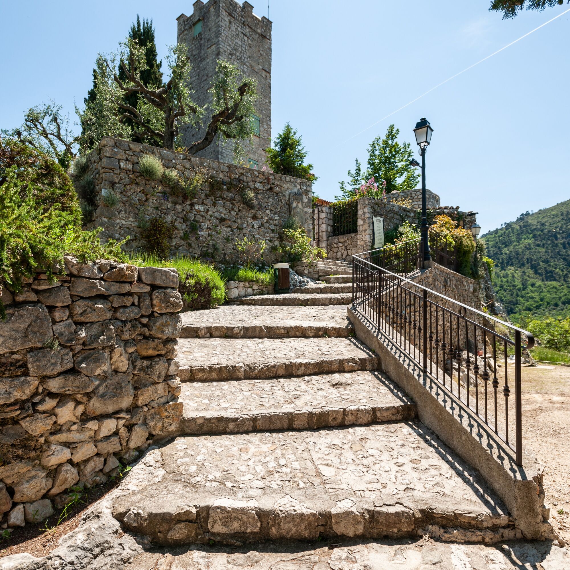
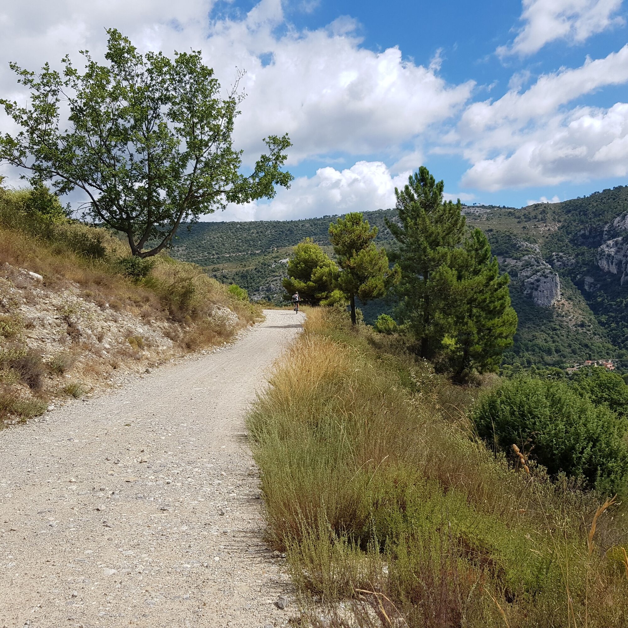
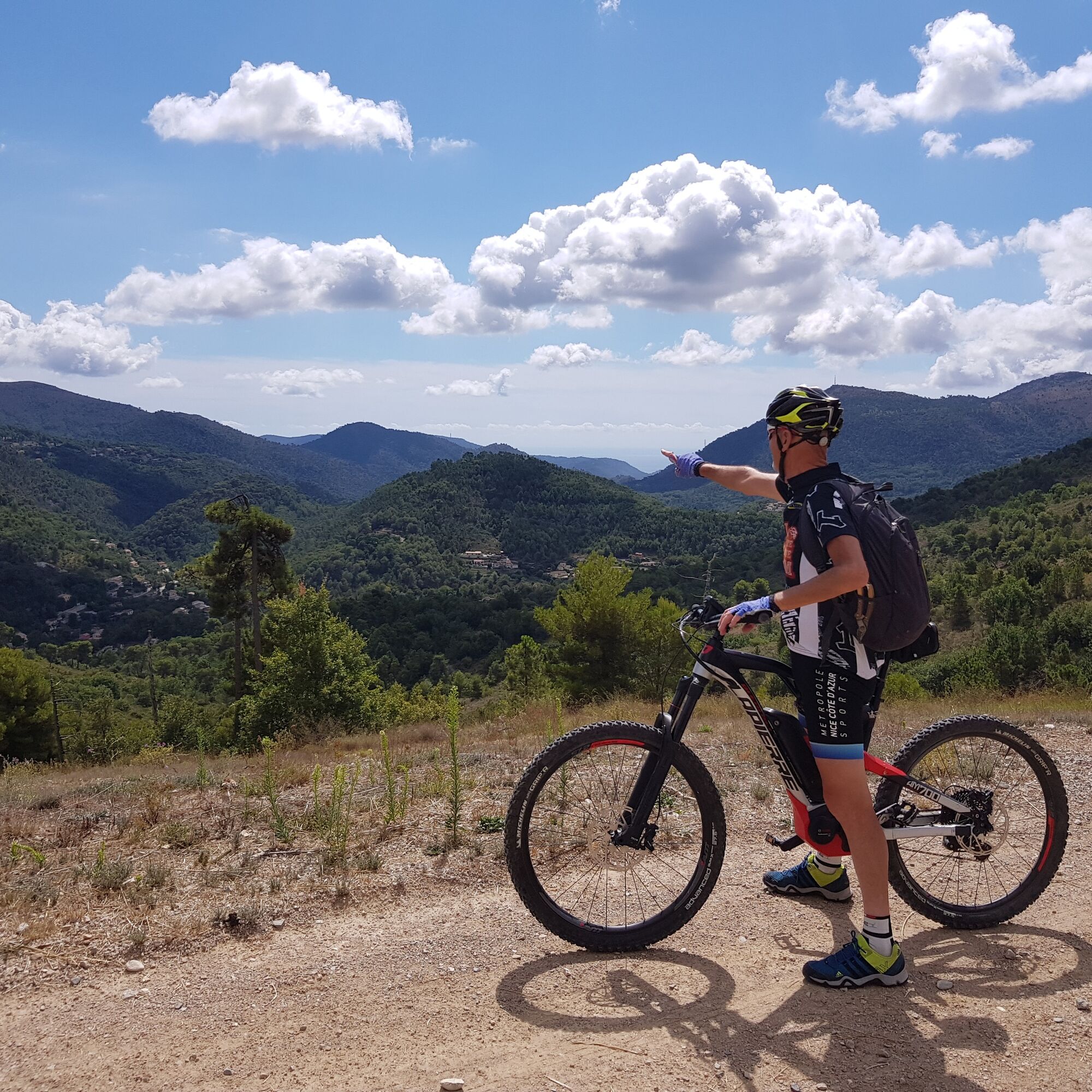
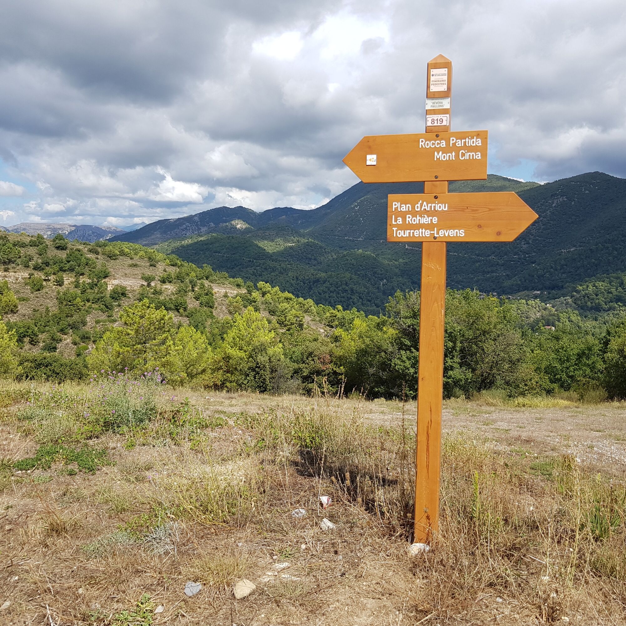
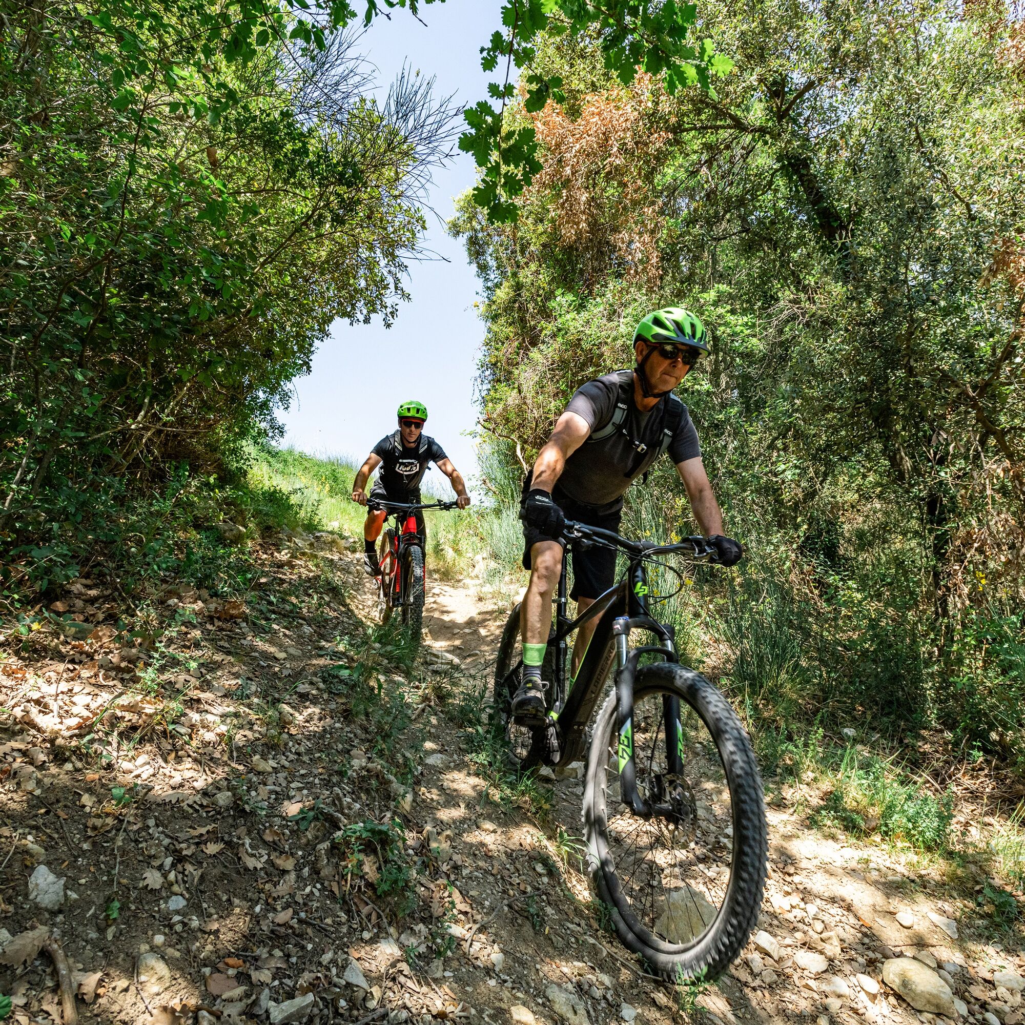

The route starts from the stadium parking and follow the markers leading to the Calamel trail,
Go towards St Blaise via the almond tree trail
Climb back through the Lauzière district to the GR5 which you take heading towards Tourrette-Levens
On an overhang overlooking the valley, a signpost will lead you to a nice singletrack towards plan d'Arriou
From this point return to the start by following the markers
Da
Wear a helmet, bring protective equipment and repair accessories.
Watch the weather: The mountain weather changes quickly, bring warm clothes.
Follow marked trails, do not take shortcuts, and respect the direction of the routes.
Before starting a route, check that it suits your level, check the condition of your MTB and leave your route with someone.
Be careful, courteous, and slow down when overtaking other users.
Be extra cautious during hunting season and inquire about ongoing hunts.
If you encounter livestock protection dogs (= patous), get off your bike, avoid sudden movements, and go around the herd.
Respect private property, cultivated areas, and close gates after passing.
Adopt eco-friendly behavior: take your trash with you and respect wildlife and plants to preserve nature.
Always carry the IGN map corresponding to the route concerned.
The Lignes d’azur network offers a single fare for the entire Nice Côte d’Azur Metropolis. Validation is mandatory each time you board the bus regardless of the ticket used. To see all fares, click here: www.lignesdazur.com
Large free parking
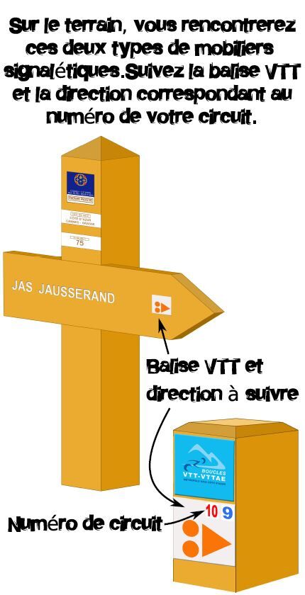
Follow the MTB markers corresponding to the circuit number: The route is marked with orange "VTT FFC" arrows on which the circuit numbers to follow are displayed
Priljubljeni izleti v okolici
-
4.0
Chemin de Nietzsche
svetlobaPohodništvo 3.73 km -
5.0
Little hike at Eze: Fort de la Revère Circuit
svetlobaPohodništvo 6.02 km -
5.0
FFC cycling circuit No. 32: The loop of the 2 valleys from St. Sauveur/Tinée
težkoCestno kolo 117.8 km -
Nice - Aspremont / Pagarine Route (stage 1)
srednjaPohodništvo 15.8 km -
4.0
Little hike in Aspremont: Mont Chauve circuit
svetlobaPohodništvo 6.49 km -
Grande Randonnée® de Pays: Lou Camin Nissart
težkoPohodništvo v daljavo 44.7 km -
FFC bike circuit no. 5: on the Tour De France routes (big loop)
srednjaCestno kolo 74.2 km -
5.0
Goldtoni - Alpenbogen A082 Drap-Nizza
svetlobaPohodništvo v daljavo 26.4 km -
FFC bike circuit no. 8: the 70.3 circuit (Half IRONMAN)
srednjaCestno kolo 92.8 km -
5.0
Goldtoni - Alpenbogen A102 Monaco-Sospel
svetlobaPohodništvo v daljavo 29.7 km
Pohodništvo in sledenje


Ne zamudite ponudb in navdiha za naslednje počitnice
Vaš e-poštni naslov je bil dodan na poštni seznam.





