Navigacija po spletni strani
Pridobite to turo v svoj mobilni telefon
Zemljevid
FFC cycling circuit No. 32: The loop of the 2 valleys from St. Sauveur/Tinée

težko
Cestno kolo
117.78 km
Skenirajte kodo QR in začnite navigacijo v aplikaciji bergfex.
QR Code
Pohodništvo in sledenje

FFC cycling circuit No. 32: The loop of the 2 valleys from St. Sauveur/Tinée

Razdalja
117.8 km
Trajanje
06:30 h
Ascent
2,664 hm
Morska gladina
231 - 1,499 m

Stopnja težavnosti: 5

Prenos skladbe
Zemljevid
FFC cycling circuit No. 32: The loop of the 2 valleys from St. Sauveur/Tinée
težko
Cestno kolo
117.78 km

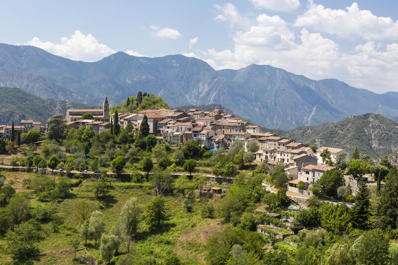
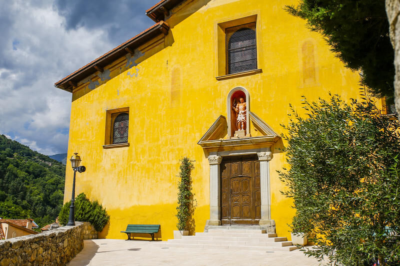
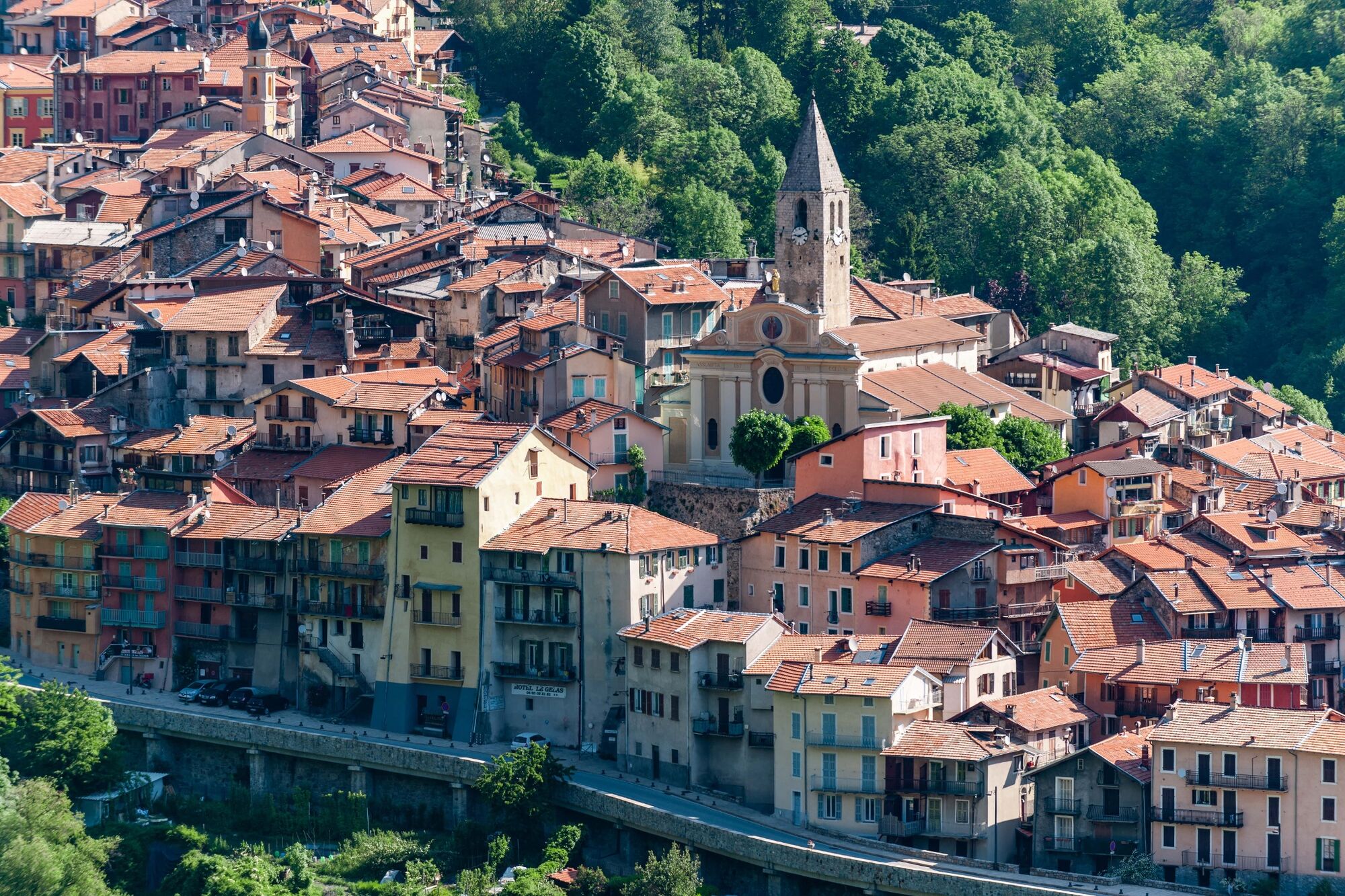
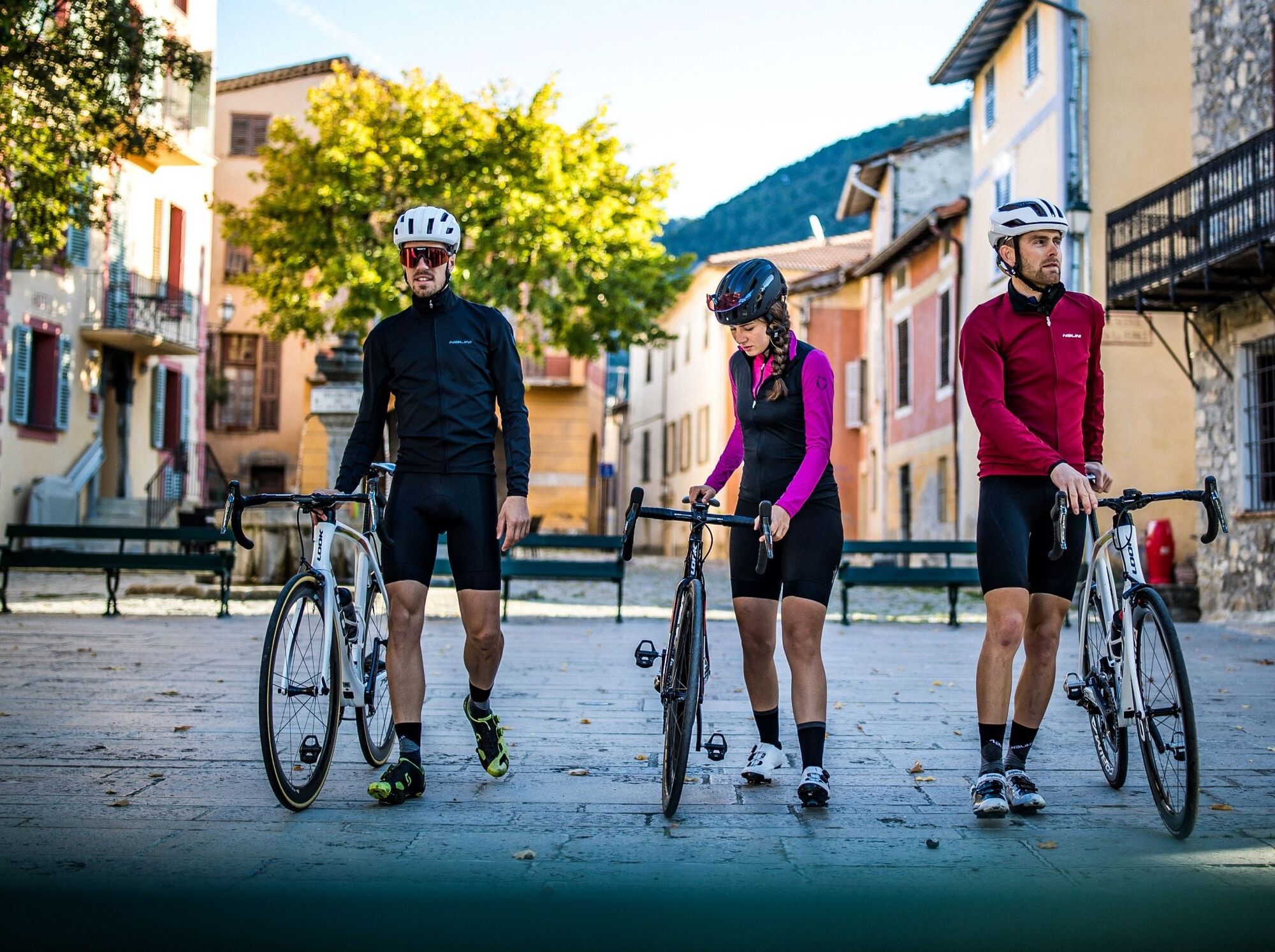
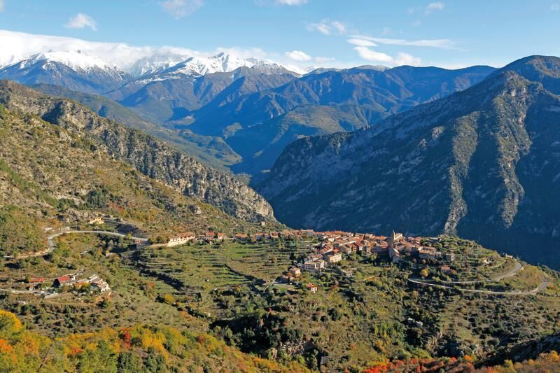
 The village of La Tour sur Tinée, the first climb of the day, is worth the detour. Entering the alleys of the village and discovering the square and its fountain is a pleasure to share.

 Then joining...

Opis

 The village of La Tour sur Tinée, the first climb of the day, is worth the detour. Entering the alleys of the village and discovering the square and its fountain is a pleasure to share.

 Then joining the Sanctuary of the Madone d’Utelle is a reward but the interest of this climb is to push a little further on the road to reach the orientation table and discover an exceptional panorama from the Mediterranean Sea to the peaks of Mercantour.

 On the descent, the village of Utelle is also to discover. This will also be an opportunity to refill water bottles at the fountain of the village square, called Place de la République.

Pot
Chapelle des Pénitents Blancs
(492 m)
Kraj čaščenja
0.3 km
Sanctuaire Notre-Dame-des-Miracles
(1,175 m)
Kraj čaščenja
44.4 km
Chapelle des Pénitents Blancs
(801 m)
Kraj čaščenja
51.5 km
Église Notre-Dame des Anges
(647 m)
Kraj čaščenja
68.5 km
Chapelle Sainte-Croix
(965 m)
Kraj čaščenja
87.9 km
Église de l'Invention-de-la-Sainte-Croix
(1,289 m)
Kraj čaščenja
99.3 km
Église Saint-Jacques-de-la-Bolline
(1,032 m)
Kraj čaščenja
103.4 km
Pot
Zemljevid
FFC cycling circuit No. 32: The loop of the 2 valleys from St. Sauveur/Tinée
težko
Cestno kolo
117.78 km
Église Saint-Michel
(497 m)
Kraj čaščenja
0.3 km
Chapelle des Pénitents Blancs
(492 m)
Kraj čaščenja
0.3 km
Saint-Sauveur-sur-Tinée
(495 m)
Vas
0.4 km
Snack chez coco
(496 m)
Restavracija
0.6 km
La Bolinette
(437 m)
Poravnava
6.3 km
La Sartaïo
(434 m)
Restavracija
6.3 km
Marie
(595 m)
Vas
7.7 km
Bancairon
(356 m)
Poravnava
11.8 km
Tinea
(399 m)
Koridor/teren
11.9 km
Pont de Clans
(292 m)
Poravnava
14.9 km
Unic Bar
(281 m)
Restavracija
16.5 km
Roussillon
(337 m)
Poravnava
16.7 km
La Maison de la Tour
(623 m)
Restavracija
26.1 km
La Tour
(622 m)
Vas
26.1 km
Chapelle des Pénitents Blancs
(608 m)
Kraj čaščenja
26.2 km
Bouché de la Colle de la Mouta
(889 m)
Koridor/teren
38.4 km
Le Giène
(885 m)
Koridor/teren
38.9 km
La Crux
(890 m)
Koridor/teren
41.3 km
Sanctuaire Notre-Dame-des-Miracles
(1,175 m)
Kraj čaščenja
44.4 km
Le Giène
(885 m)
Koridor/teren
49.8 km
Saint-Martin
(864 m)
Koridor/teren
50.2 km
Parran Fuont Teulières
(824 m)
Koridor/teren
50.4 km
Martinon
(813 m)
Restavracija
50.8 km
Église Saint-Veran
(804 m)
Kraj čaščenja
50.9 km
Chapelle des Pénitents Noirs
(802 m)
Kraj čaščenja
50.9 km
Auberge Utelloise
(805 m)
Restavracija
51.1 km
Utelle
(806 m)
Vas
51.1 km
Chapelle des Pénitents Blancs
(801 m)
Kraj čaščenja
51.5 km
La Couletta
(739 m)
Koridor/teren
51.8 km
Aubergerie del Campo
(421 m)
Restavracija
57.7 km
Gardivol
(334 m)
Koridor/teren
59.0 km
Chapelle Saint-Jean-Baptiste
(304 m)
Kraj čaščenja
59.6 km
Saint-Jean la Rivière
(301 m)
Poravnava
59.6 km
Le Suquet
(337 m)
Poravnava
63.4 km
Le Clot
(467 m)
Poravnava
65.2 km
Condamines
(492 m)
Poravnava
65.8 km
Les Condamines
(520 m)
Poravnava
65.9 km
Église Notre-Dame des Anges
(647 m)
Kraj čaščenja
68.5 km
Pélasque
(648 m)
Poravnava
68.6 km
Bastida
(638 m)
Koridor/teren
71.0 km
Lantosque
(483 m)
Vas
73.5 km
Lou Gust
(473 m)
Restavracija
73.5 km
Les Tilleuls
(473 m)
Restavracija
73.6 km
Gordolon
(537 m)
Soseska
76.8 km
Saint-julien
(596 m)
Poravnava
77.9 km
Roquebillière
(614 m)
Vas
78.4 km
Vieux Village
(597 m)
Soseska
79.3 km
Pra de la Vigna
(614 m)
Poravnava
80.1 km
Riba de Berthemont
(717 m)
Koridor/teren
81.7 km
Chapelle Sainte-Croix
(965 m)
Kraj čaščenja
87.9 km
Saint-Martin-Vésubie
(965 m)
Vas
88.0 km
Belvédère de la Pausa
(1,268 m)
Pogled
92.8 km
La Colmiane
(1,500 m)
Soseska
95.9 km
Jardin d'Enfants (ESF)
(1,498 m)
Postaja gondole
96.0 km
La Barquette
(1,498 m)
Restavracija
96.0 km
Chez Frankie
(1,498 m)
Restavracija
96.0 km
Église de l'Invention-de-la-Sainte-Croix
(1,289 m)
Kraj čaščenja
99.3 km
Le Millefonds
(1,279 m)
Restavracija
99.4 km
Saint-Dalmas
(1,298 m)
Soseska
99.4 km
Auberge de la Roche
(1,101 m)
Restavracija
102.2 km
La Roche
(1,115 m)
Vas
102.2 km
L'alternative
(1,106 m)
Restavracija
102.3 km
Chapelle de la Miséricorde
(1,121 m)
Kraj čaščenja
102.3 km
Valdeblore
(1,059 m)
Vas
103.3 km
Église Saint-Jacques-de-la-Bolline
(1,032 m)
Kraj čaščenja
103.4 km
La Bolline
(1,001 m)
Vas
104.1 km
Snack chez coco
(496 m)
Restavracija
117.1 km
Saint-Sauveur-sur-Tinée
(495 m)
Vas
117.3 km
Église Saint-Michel
(497 m)
Kraj čaščenja
117.3 km
Chapelle des Pénitents Blancs
(492 m)
Kraj čaščenja
117.3 km
Informacije o turneji

 A very sporty and varied route passing, for the most courageous, by the sanctuary of the Madone d’Utelle which offers a breathtaking 360° panorama from the orientation table.

Tehnologija
5 / 6
Stanje
6 / 6
Pokrajina
4 / 6
Izkušnje
4 / 6
Najboljši letni čas
Jan
Feb
Mar
Apr
Maj
Jun
Jul
Avg
Sep
Okt
Nov
Dec
Skupna turneja
Zemljevid
FFC cycling circuit No. 32: The loop of the 2 valleys from St. Sauveur/Tinée
težko
Cestno kolo
117.78 km
Napaka
Zgodila se je napaka. Prosimo, poskusite znova.
Informacije o poti
Pot
The start is on the RM 2205 towards Nice. At Km 19.7, turn left to climb towards Tour-sur-Tinée (RM 32) which is on good pavement, rather rideable with hairpin bends allowing the athlete moments of recovery. The road after the village leads to the Vésubie side after two tough successive climbs. At the junction of Utelle and the Madone (Km 38.2), the most courageous will choose to take the planned detour via the sanctuary a few km away, the less daring can join the Vésubie road (RM 2565) and Saint-Jean la Rivière. From this point, head towards Roquebillière. At km 63.1, at the exit of the place called Le Suquet, take the RM 373 which leads to the village of Pélasque, a climb discovered during the Paris-Nice 2018 stage. The descent leads directly to the village of Lantosque where you find the RM 2565 towards Saint-Martin Vésubie Km 87, the start point of the last difficulty, the Col Saint-Martin (1,500 m) and the heart of the La Colmiane ski resort. The end of the descent rejoins the Tinée valley (RM 2205), from the crossroads take the direction of Nice, you arrive back at the starting point at Saint-Sauveur.
Ogled vrha

Da

Oprema

 -Wear a certified helmet

 -Check the condition of your tires

 -Take a repair kit in case of a puncture

 -Prefer at least one flashing LED light to fix on the seat post to be seen by motorists, especially in small tunnels

Varnostna navodila

 BASIC RULES

-Choose a route adapted to your physical condition, do not overestimate your abilities

-Check the mountain weather and pass openings before leaving

-Remember to carry an ID and a number to call in case of danger

-Respect traffic lights

-Prefer to use cycle paths when they exist, in other words: a sign may require you to use them

If the "cycle path" sign is square: you decide. If it is round, you must use this way compulsory.

-Respect the environment and other road users

 GOOD PRACTICES FOR GROUP RIDING

-Riding two abreast is allowed, but single file is required:

at nightfall or when visibility is poor when a vehicle wanting to overtake signals its approach.

 -In case of breakdown, move to the lower side of the road and not on the road itself

-At “Stop”, yellow light, fixed or flashing red light, make a complete stop for the whole group.

-Communicate within the group and use verbal language and gestures to signal an obstacle or a vehicle. A simple gesture or a word can prevent a fall or accident.

Informacije o prihodu
Prihod

The village of Saint-Sauveur-sur-Tinée at 500 m altitude, located on the Tinée road M 2205, 64 km from Nice, benefits from a privileged location to start unique routes, which might not always be possible to do from Nice without covering many kilometers.

Nice is served by the A8 motorway "La Provençale", coming from Aix-en-Provence in the West and from the border in the East.

To reach the start from Nice :

Take Exit No. 52: Saint-Isidore

Direction Digne via RM 6202

Then take the Tinée Road (RM 2205)


Javni prevoz

Find bus lines at: https://www.lignesdazur.com

Parkirišče

Some parking spots are available near the starting panorama on the edge of the RM 2205. However, prioritize parking below the RM 2205, on the banks of the Tinée, towards the gendarmerie

Dodatne informacije in nasveti
Stopnja težavnosti

5

Nasveti

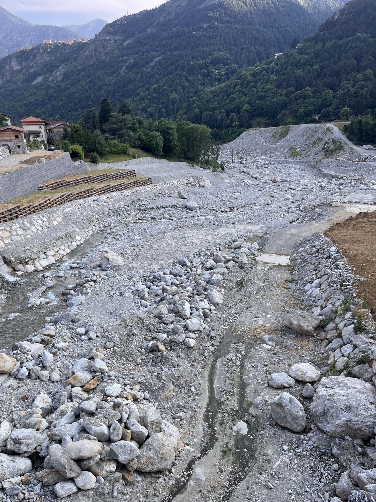
05/04/2021: Attention, the circuit was affected by Storm Alex in October 2020. Reconstruction work is underway in the Vésubie valley.

At the exit of the place called Le Suquet, the route includes a detour via Pélasque. This difficulty can be avoided by continuing on the RM 2565 from the village of Lantosque and Roquebillière, the starting and ending point of the loop.

 Route for experienced cyclists - FFC color: black - Very difficult

All outdoor activities of the Métropole Nice Côte d'Azur are on https://outdoor.nicecotedazur.org


Pohodništvo in sledenje

Pohodništvo in sledenje

Pohodništvo in sledenje
Zaradi več kot 550.000 predlogov izletov, podrobnih zemljevidov in intuitivnega načrtovanja poti je aplikacija obvezna oprema za vse ljubitelje narave.
bergfex