







MTB FFC circuit no. 9: Bon Villars
Stopnja težavnosti: S0
Au départ du parking de l'avenue Gaspard Gojon à Clans, ce circuit en aller retour longe le vallon du Monar et conduit jusqu'au bois de Bon Villars, au cœur de l'une des plus belles forêts du département....
Clans, situé dans la vallée de la Tinée, est un village qui renferme de jolis trésors : belles maisons en pierre, vieux lavoirs, moulins anciens et place du Verger ombragée de platanes. À ne pas manquer avant le départ, la Collégiale Sainte-Marie de Clans classée monument historique, bâtie à partir de 1680, avec sa façade de composition classique.
L'itinéraire prend la direction est depuis le centre du village, par une petite route tranquille et sans dénivelé qui serpente à flanc de montagne. Après la traversée du torrent de Monar, la piste forestière conduit jusqu'au bois de Bon Villars. Le retour s'effectue par le même itinéraire.

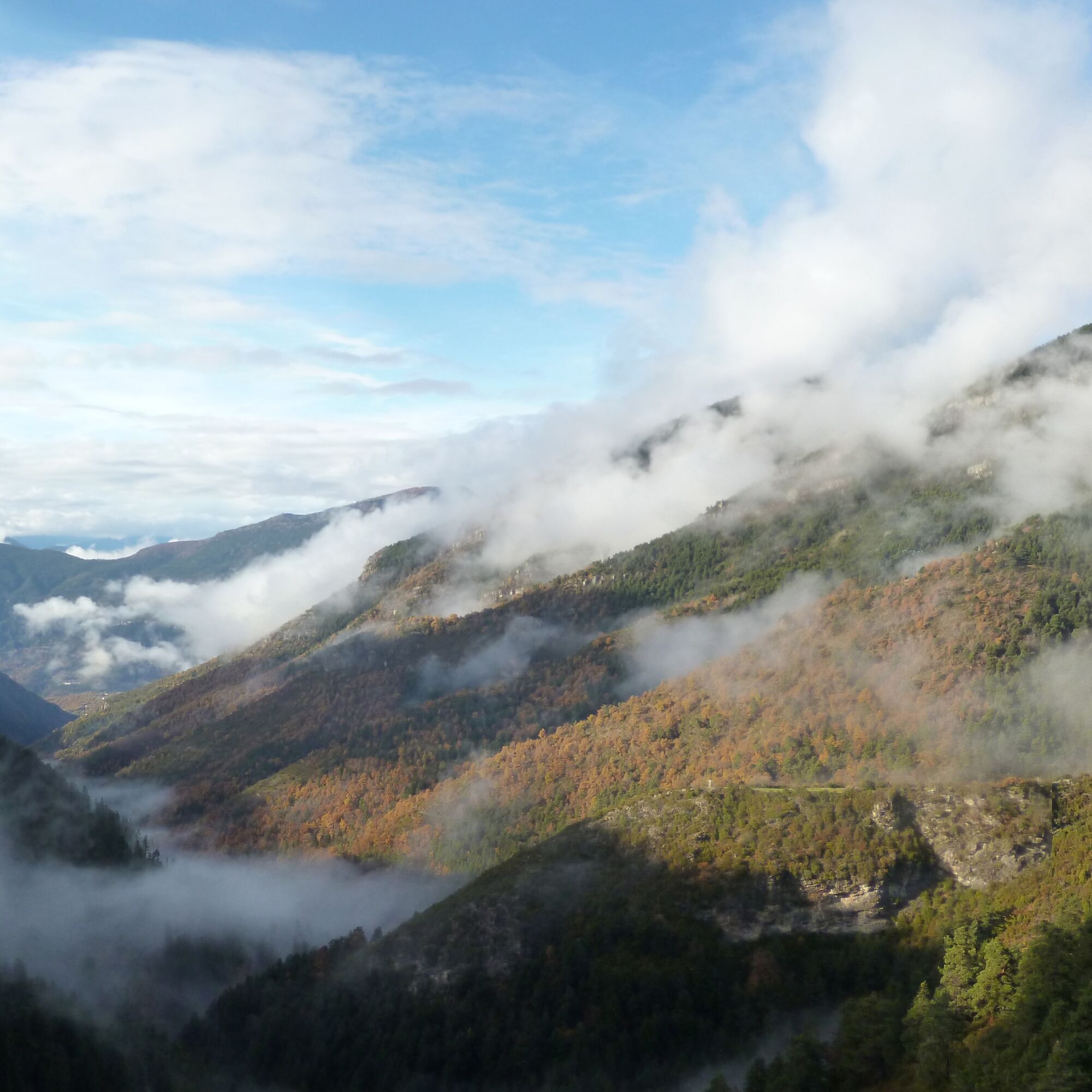
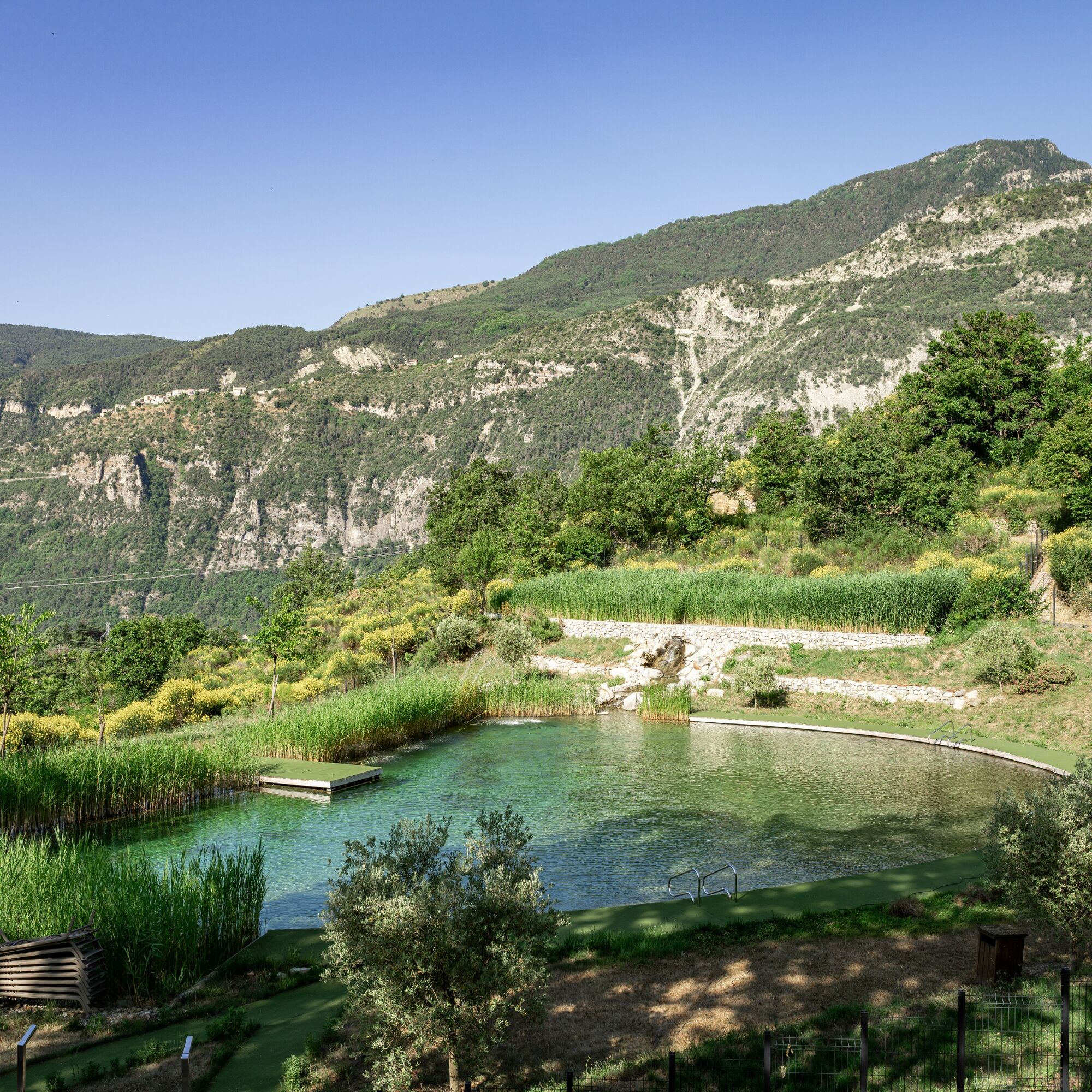
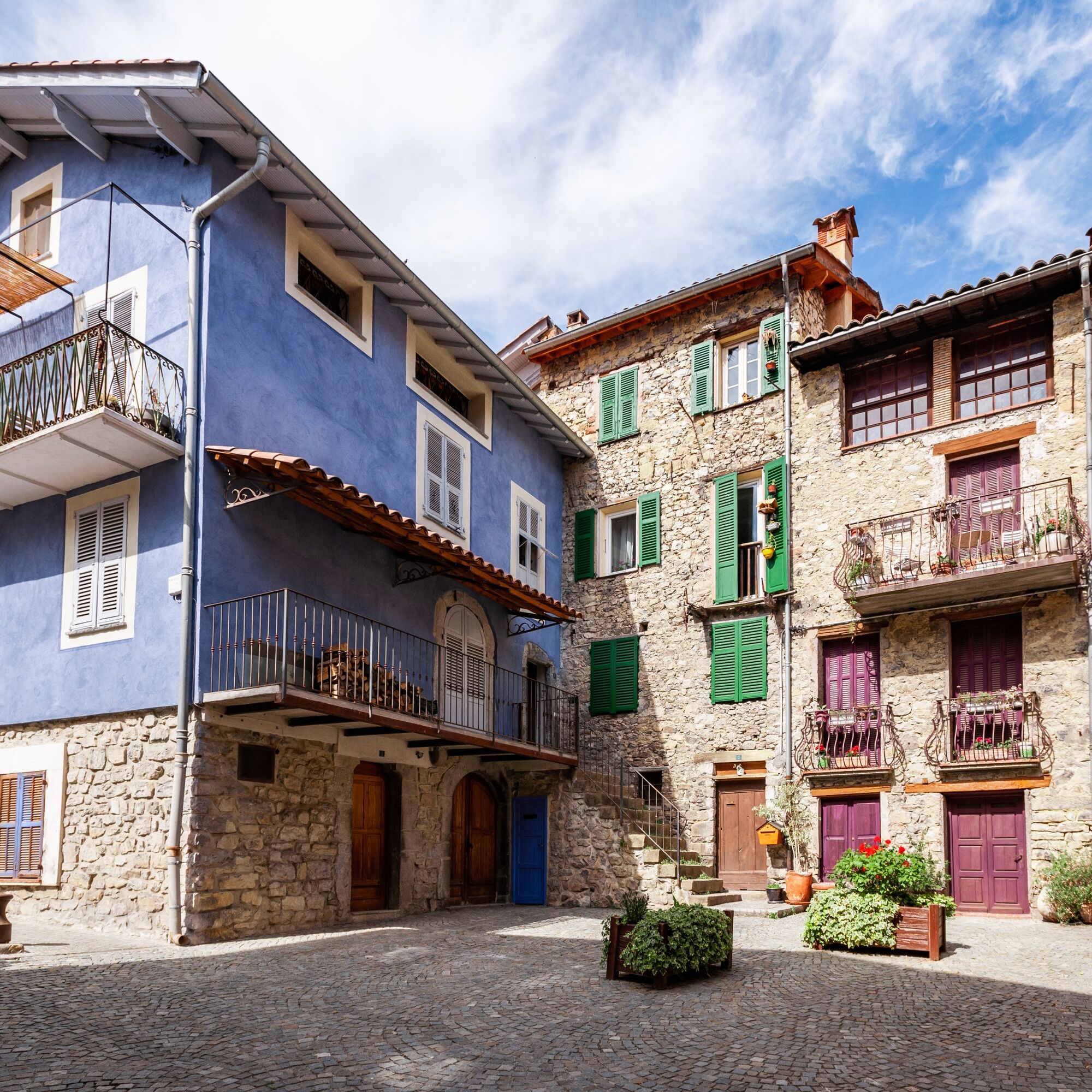
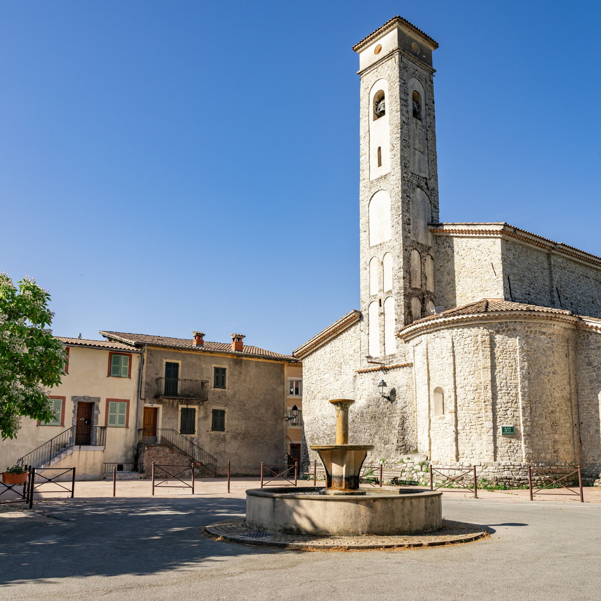

Start from the parking on avenue Gaspard Gojon and reach the village center. Head east; a very quiet and flat small road winds along the mountain slope until crossing the Monar stream, which marks the start of the forest track leading to the Bon Villars wood.
Turn back at the end of the track and return to Clans by the same route.
Follow the marked trails, do not take shortcuts and respect the direction of the routes.
Before starting a route, check that it suits your level, inspect the condition of your MTB and leave your route details with someone.
Be careful, courteous and slow down when overtaking other users.
Be extra cautious during hunting season and inquire about current hunts.
If you encounter livestock guardian dogs (patous), dismount, avoid sudden movements and go around the herd.
Respect private property, cultivated areas and close gates after passing.
Adopt eco-friendly behavior: take your trash with you and respect wildlife and plants for preserved nature.
Always carry the IGN map corresponding to the relevant route.
The Lignes d’azur network offers a single fare across the Métropole Nice Côte d'Azur. Validation is mandatory each time you board the bus regardless of the ticket used. To check all fares, click here: www.lignesdazur.com
Free parking
S0
Follow the MTB markings corresponding to the circuit number: The circuit is marked with orange "VTT FFC" arrows on which the circuit numbers to follow are displayed
All outdoor activities of the Métropole Nice Côte d'Azur are on https://outdoor.nicecotedazur.org
Priljubljeni izleti v okolici
-
The Salt Roads: The Pagarine Route
srednjaPohodništvo v daljavo 159.7 km -
5.0
FFC cycling circuit No. 32: The loop of the 2 valleys from St. Sauveur/Tinée
težkoCestno kolo 117.8 km -
FFC cycling circuit no. 30: the loop of the Col de la Couillole
težkoCestno kolo 70.8 km -
Roquebillière - Saint-Martin-Vésubie / Pagarine route (stage 5)
težkoPohodništvo 18.3 km -
Utelle - Roquebillière / Pagarine route (stage 4)
srednjaPohodništvo 20.0 km -
Mountain bike circuit FFC no. 21a: Les granges de la Brasque
težkoMountainbike 41.2 km -
Mountain bike FFC circuit no. 5: Le Gabre
srednjaMountainbike 4.91 km -
Auron - Nice gravel route
težkoKolesarjenje na dolge razdalje 364.4 km -
Mountain bike FFC circuit no. 53: The Madeleine Pass - La Colmiane
težkoMountainbike 18.8 km -
FFC mountain bike route no. 11: The pointe de la Penna
srednjaMountainbike 11.1 km
Pohodništvo in sledenje


Ne zamudite ponudb in navdiha za naslednje počitnice
Vaš e-poštni naslov je bil dodan na poštni seznam.





