




Hummastinvaara mountain biking routes 15 km, Raahe

Stopnja težavnosti: S1
The outdoor routes of Hummastinvaara are multi-use routes, offering trails for mountain bikers of all skill levels. The terrain is flat, and you can choose from four different length routes of 5, 10, 15,...
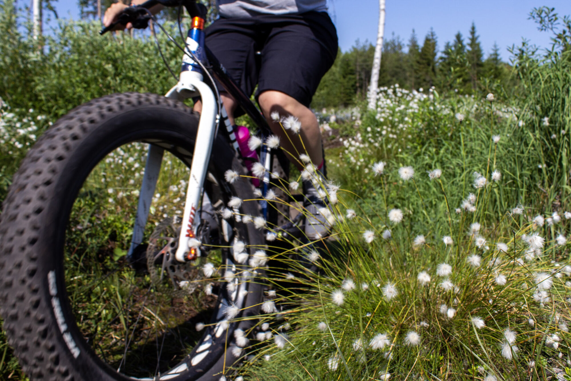
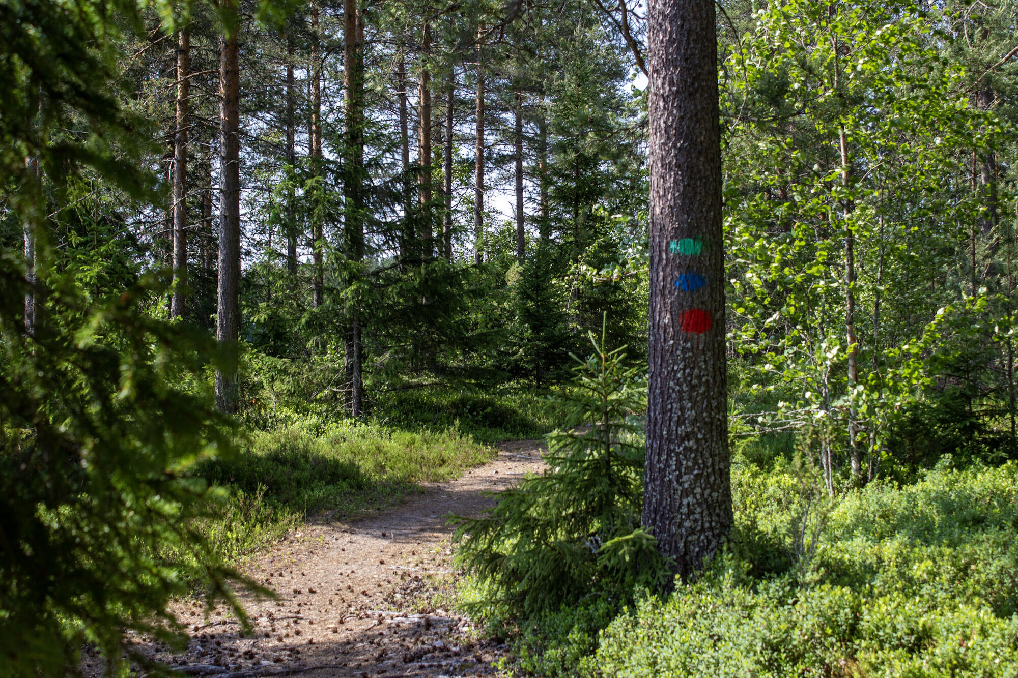
The outdoor routes of Hummastinvaara are multi-use routes, offering trails for mountain bikers of all skill levels. The terrain is flat, and you can choose from four different length routes of 5, 10, 15, and 25 km, which are marked in the terrain with color codes. The 15 km route of Hummastinvaara is a versatile mountain biking route. The elevation changes are minimal, but you will get a good feel for slightly more technical sections and, if you wish, experience the thrill of speed on well-rolling trails. On the routes, you can admire fields and mire landscapes and enjoy the abundance of the forest scenery. The route can be ridden in both directions.
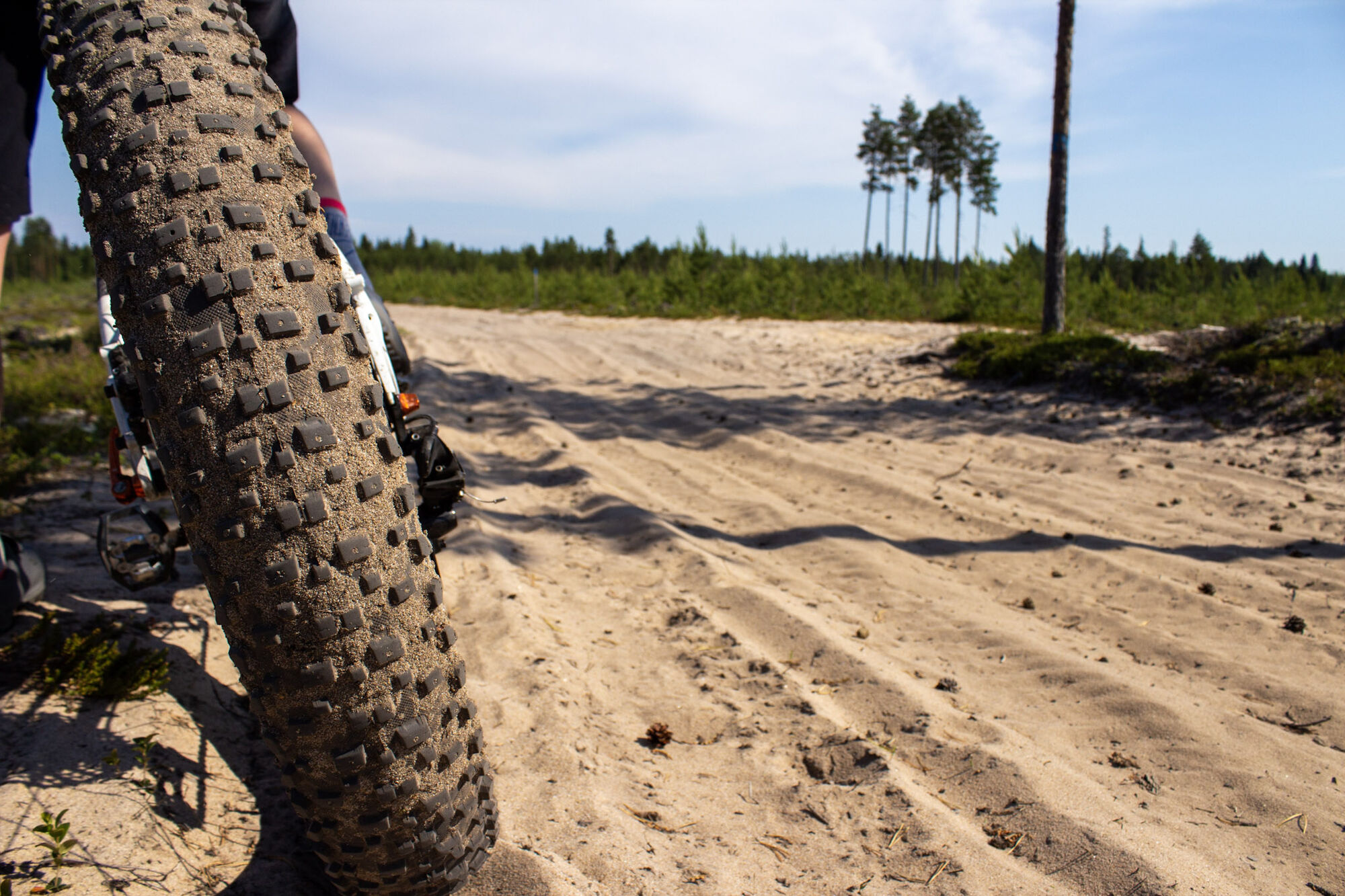
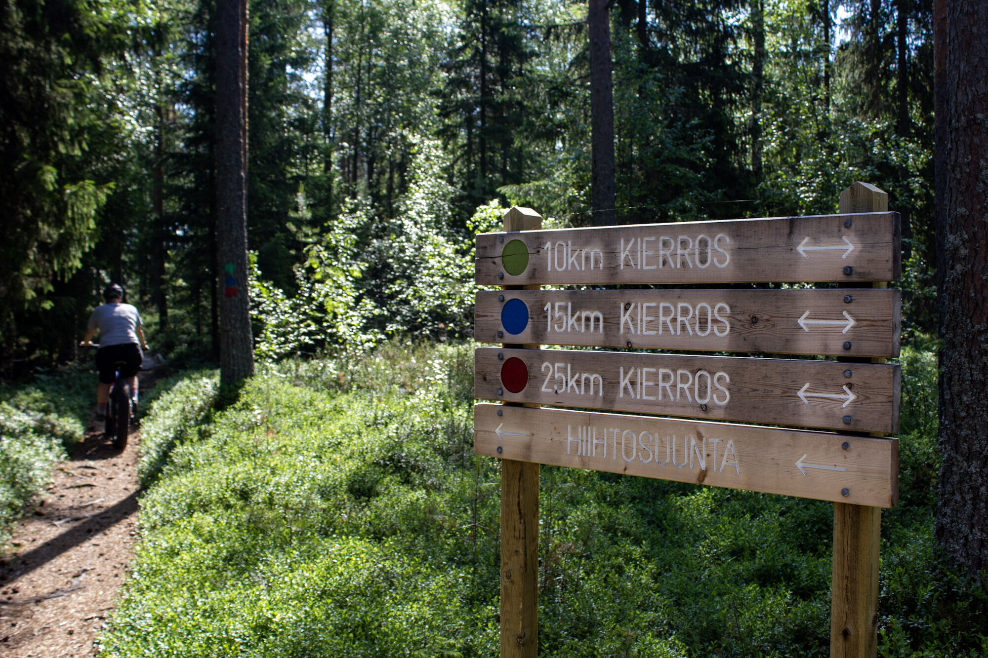
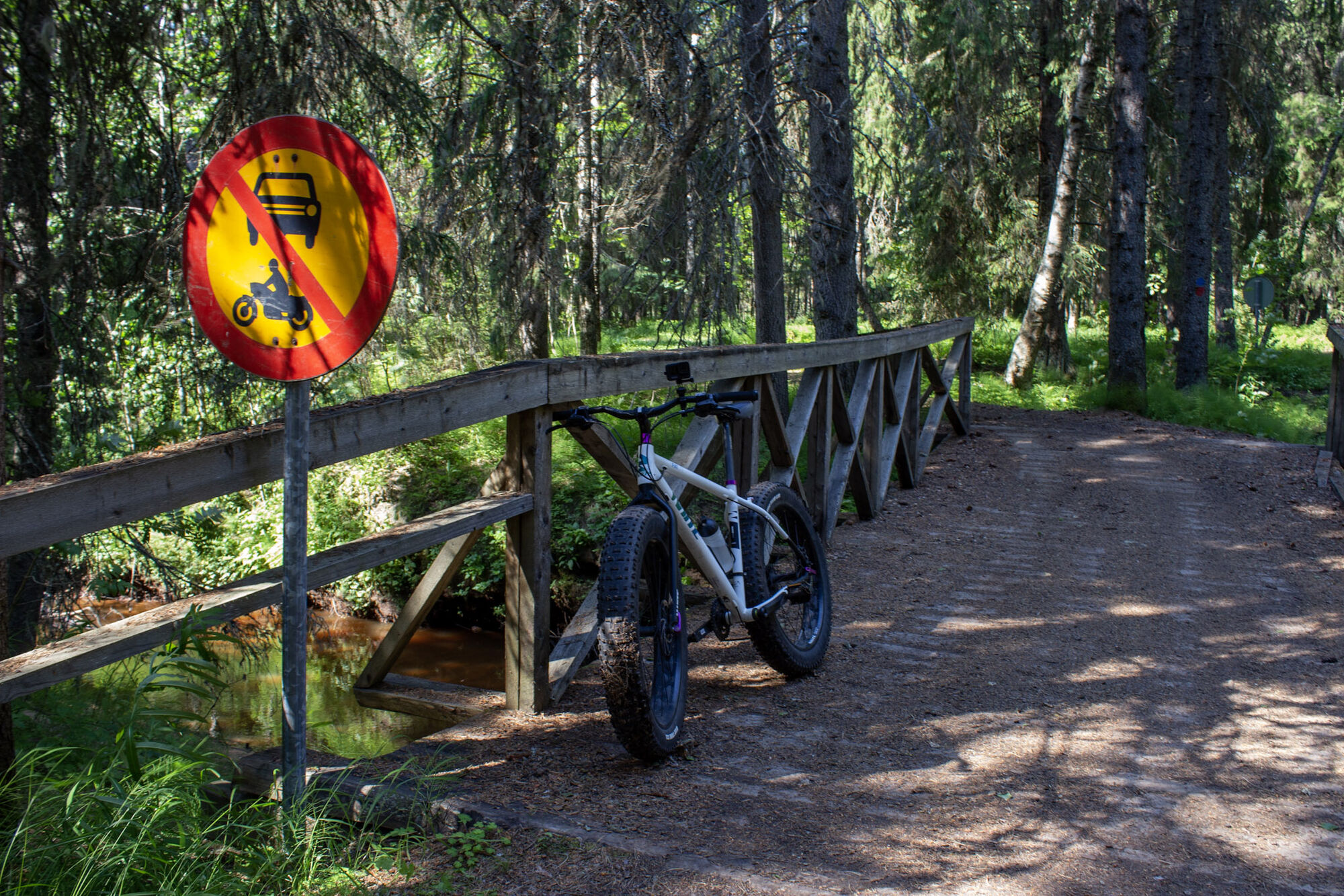
In some parts, the route goes along soft sandy horse trails, which is why we recommend riding with a fatbike. Otherwise, you can manage with a regular mountain bike on the route. The routes in Hummastinvaara are marked with signs and timber marks in the terrain.

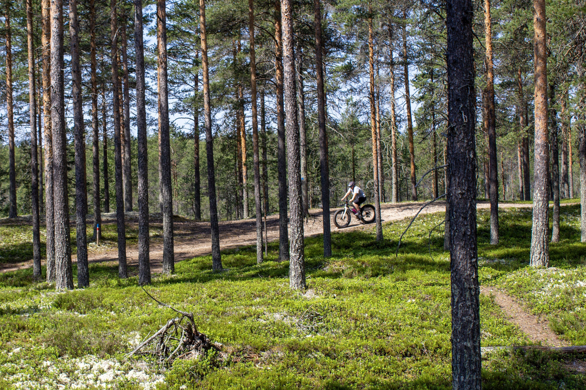
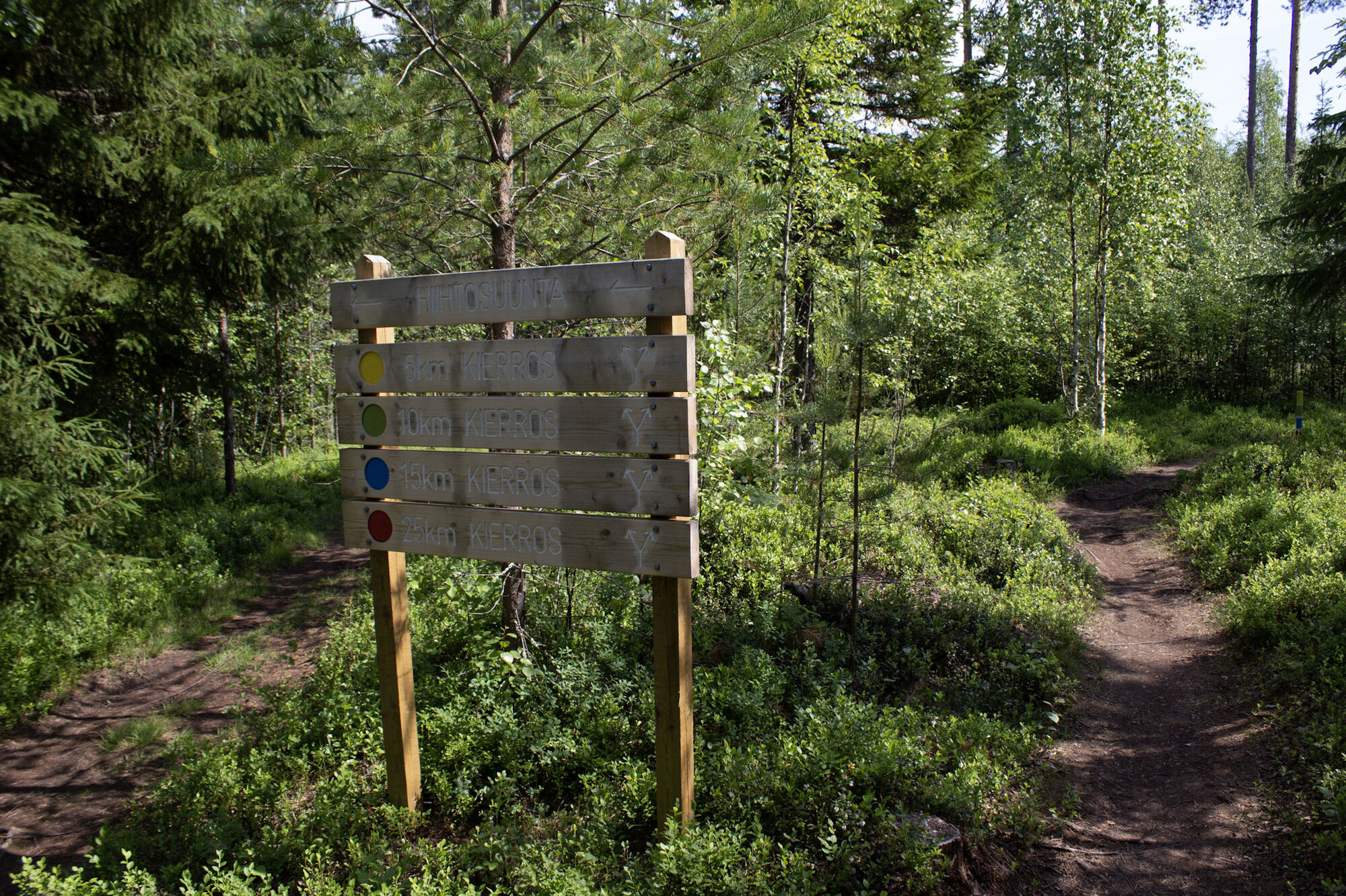
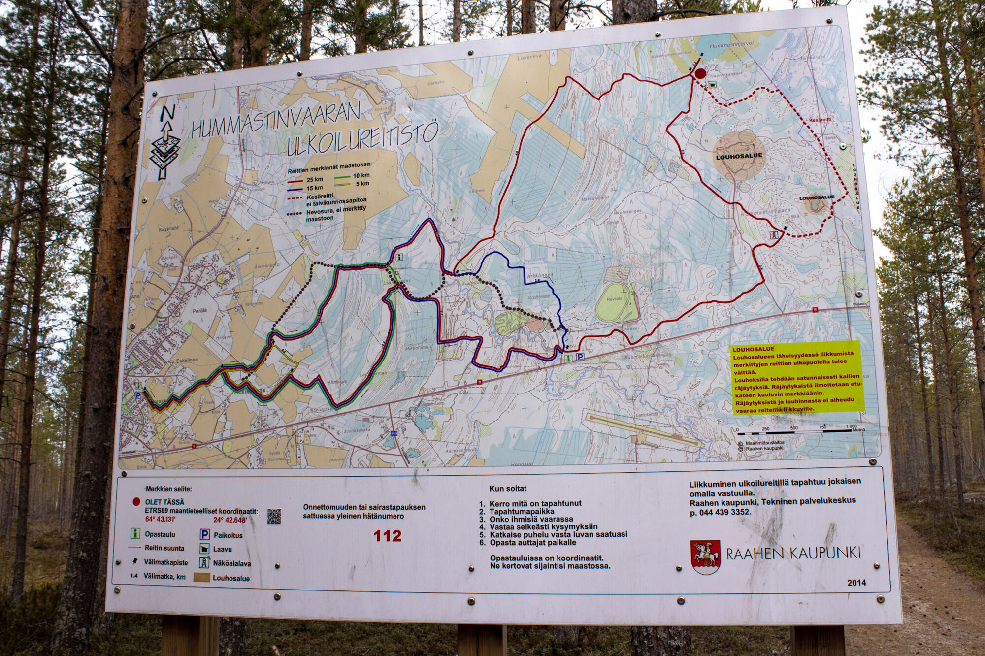
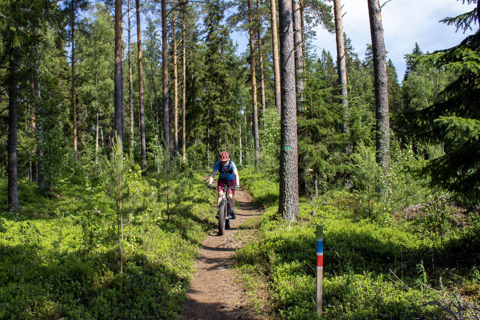

Starting points: Harakkamäentie 12, Pattijoki Raahe or Moottoriradantie, 92140 Raahe. There is a sign to Hummastinvaara from road 8. The Moottoriradantie starting point is about 100 m from the rest area, where you will find signs for the area's routes. Both starting points have parking lots. From the Harakkamäentie starting point, you can reach all marked routes of Hummastinvaara. After a couple of kilometers, the route splits, and you can circle the route in your preferred direction.
In late spring and early summer, there may be some wet and muddy spots on the route, but these can be bypassed. Due to the soft sandy sections, we recommend riding a fatbike.
The routes in Hummastinvaara are well marked on the terrain, but remember to stay alert so that no marking goes unnoticed in the changing nature. There may be some wet spots in spring due to lingering snow.
There is a sign to Hummastinvaara from both directions on road 8. You can reach the Harakkamäki starting point from Raahe via bike paths or by car.
There are parking lots both beside the E8 road and at the Harakkamäki starting points.
S1
Mountain bikes for rent in Raahe from Lappis.
In snowy season, the Hummastinvaara routes are for skiing use only.
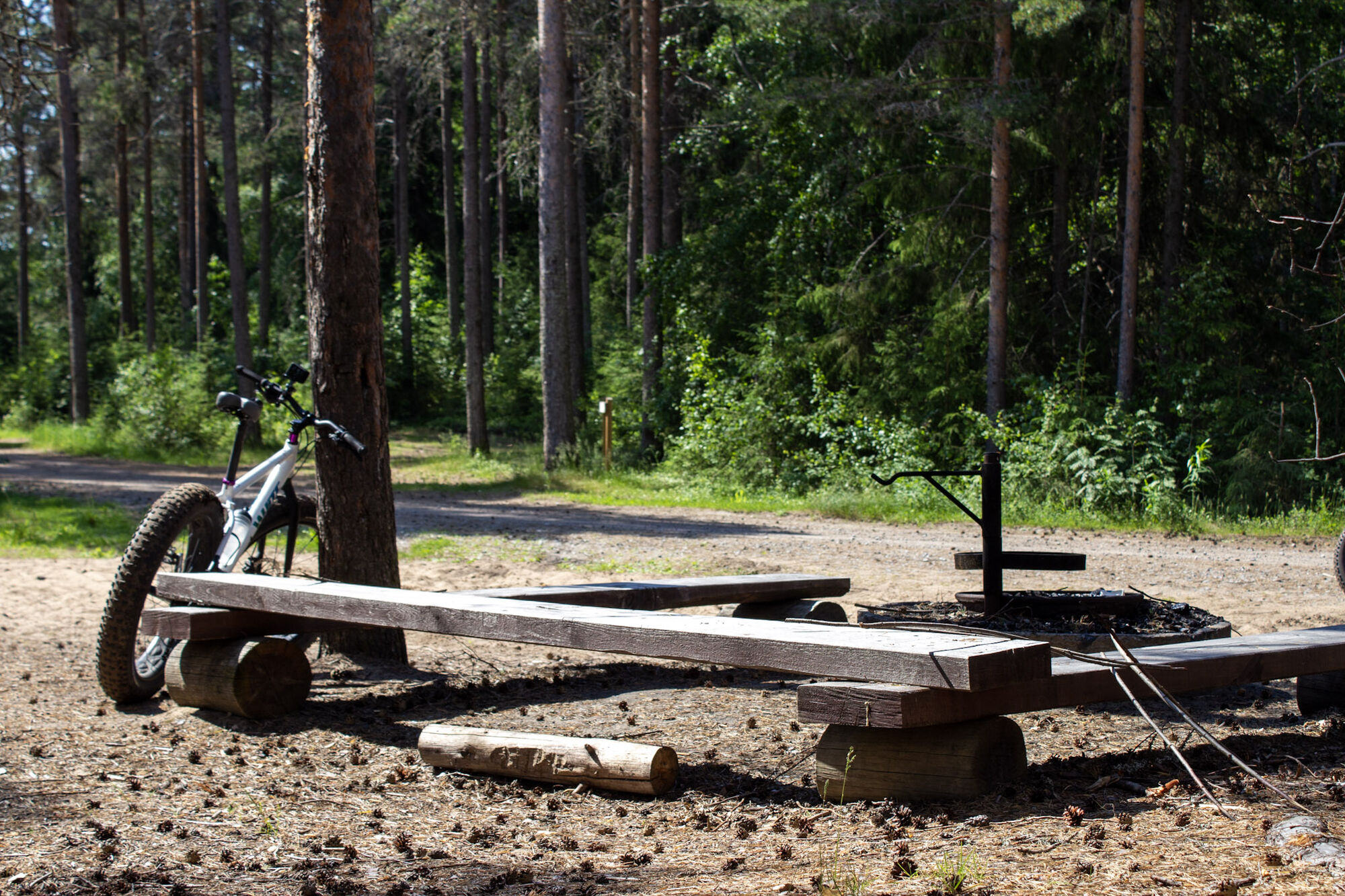
Along the route, you will find benches for taking breaks, and additionally, at the starting point of Moottoriradantie, there is a campfire site. Please also note that there is no water refill option on the trails, so bring enough water and snacks if you wish.
The Hummastinvaara area also hides numerous geocaches!
Priljubljeni izleti v okolici
-
Hummastinvaara mountain biking routes 25 km, Raahe
srednjaMountainbike 20.2 km -
The path of Fantti
svetlobaPohodništvo 0.64 km -
Iso-Kraaseli nature trail
svetlobaPohodništvo 1.95 km -
Tour of Mikonkari
svetlobaPohodništvo 1.75 km -
Raahe city tour
svetlobaKolesarjenje 14.3 km -
Varvi nature trail, Raahe
svetlobaTematska pot 5.68 km -
Mountain biking trails in Hummastinvaara, Raahe, 5 km
svetlobaMountainbike 4.92 km -
Rivi's trail, Mikonkari
svetlobaPohodništvo 2.17 km -
Pitkänkari paths, Takaranta and Hakotauri
svetlobaPohodništvo 3.66 km -
Path of Parr, Mikonkari
svetlobaPohodništvo 0.81 km
Pohodništvo in sledenje


Ne zamudite ponudb in navdiha za naslednje počitnice
Vaš e-poštni naslov je bil dodan na poštni seznam.





