


Monastery Route Valamo - Lintula
Stopnja težavnosti: S3
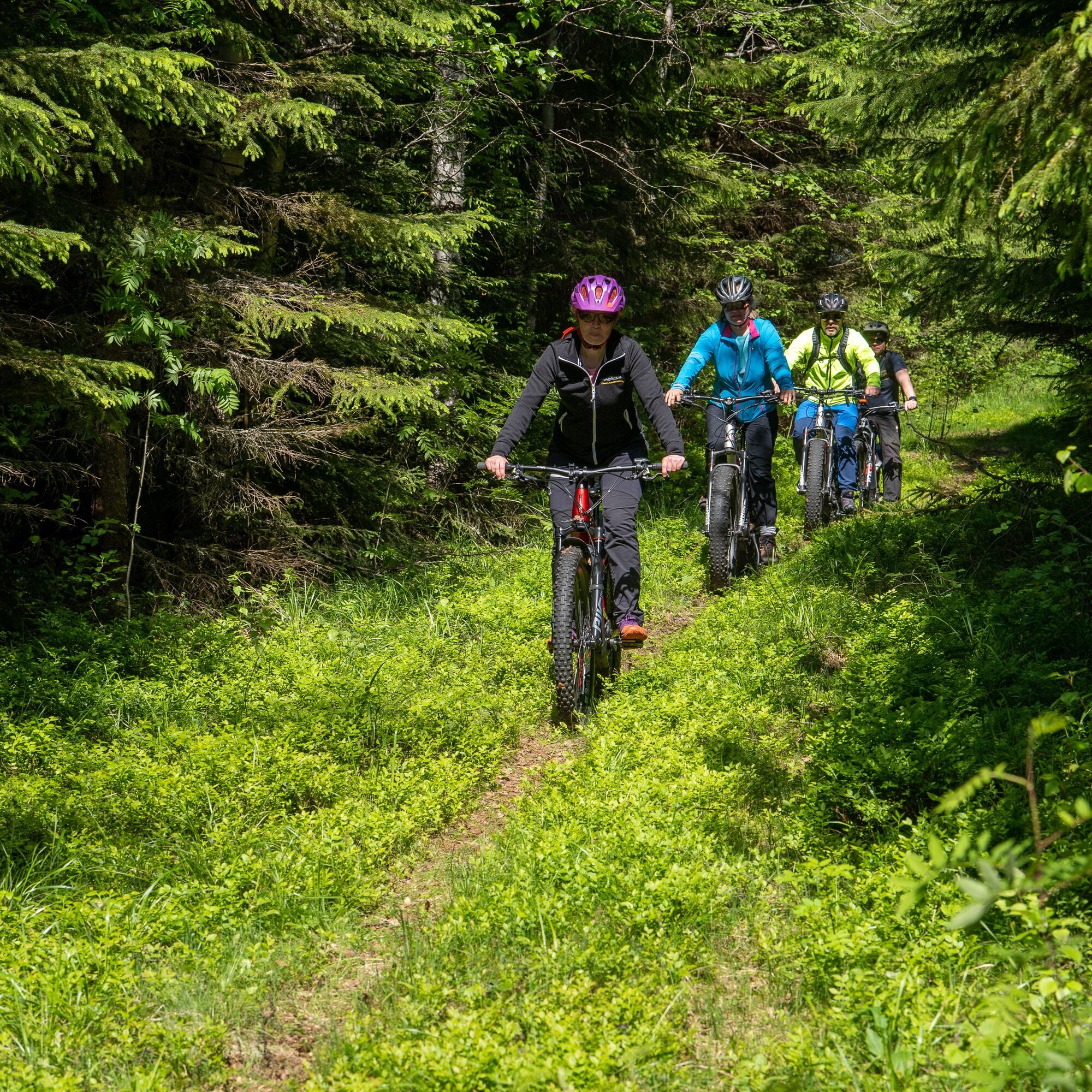
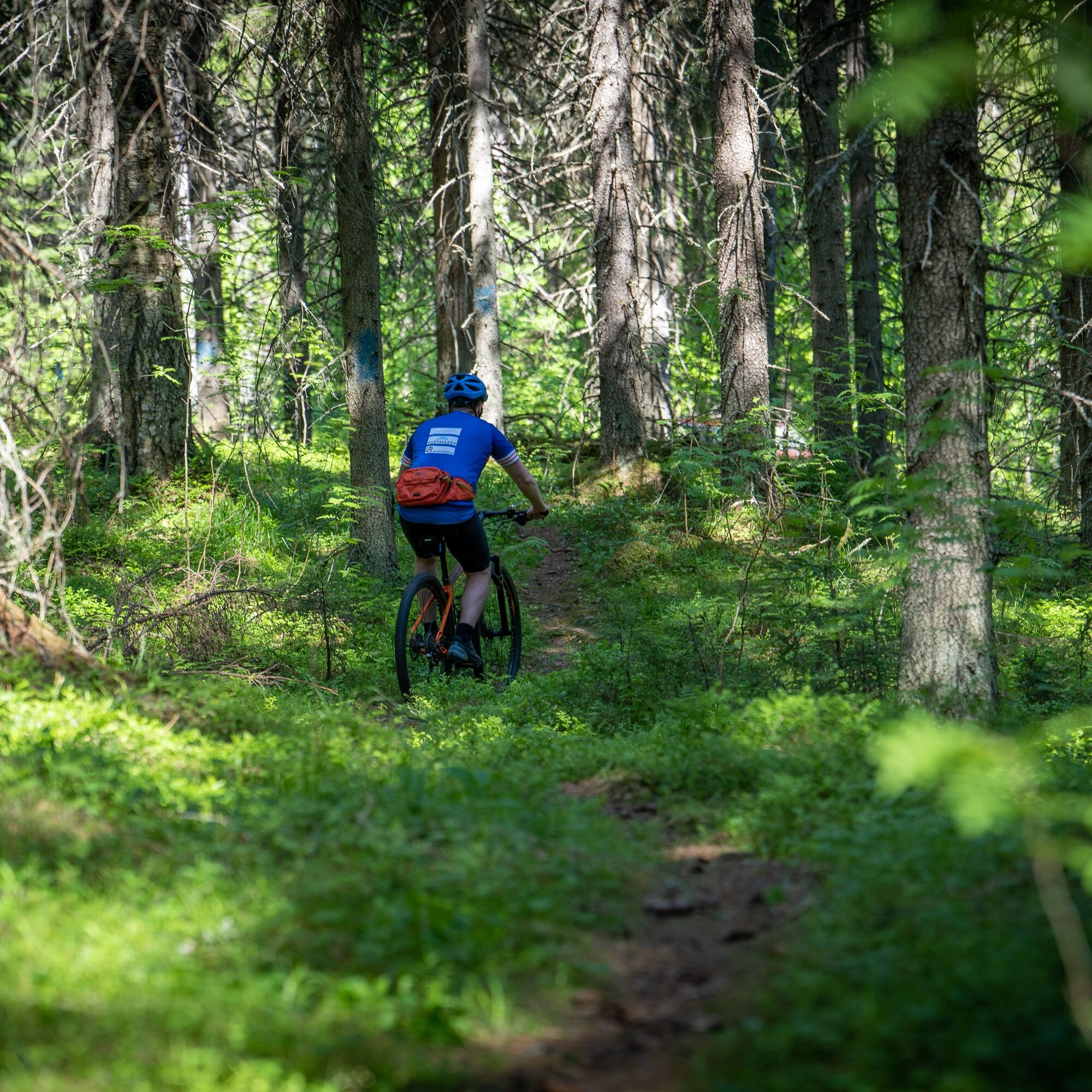
The Monastery Route connects Finland's only Orthodox monasteries: the Valamo monk monastery and the Lintula convent. The route is 20 km long in one direction. The route features a variety of narrow paths...
The Monastery Route connects Finland's only Orthodox monasteries: the Valamo monk monastery and the Lintula convent. The route is 20 km long in one direction. The route features a variety of narrow paths and suitable transfer sections along gravel roads.
Every summer, a cross-carrying procession walks the Monastery Route from Valamo to Lintula.
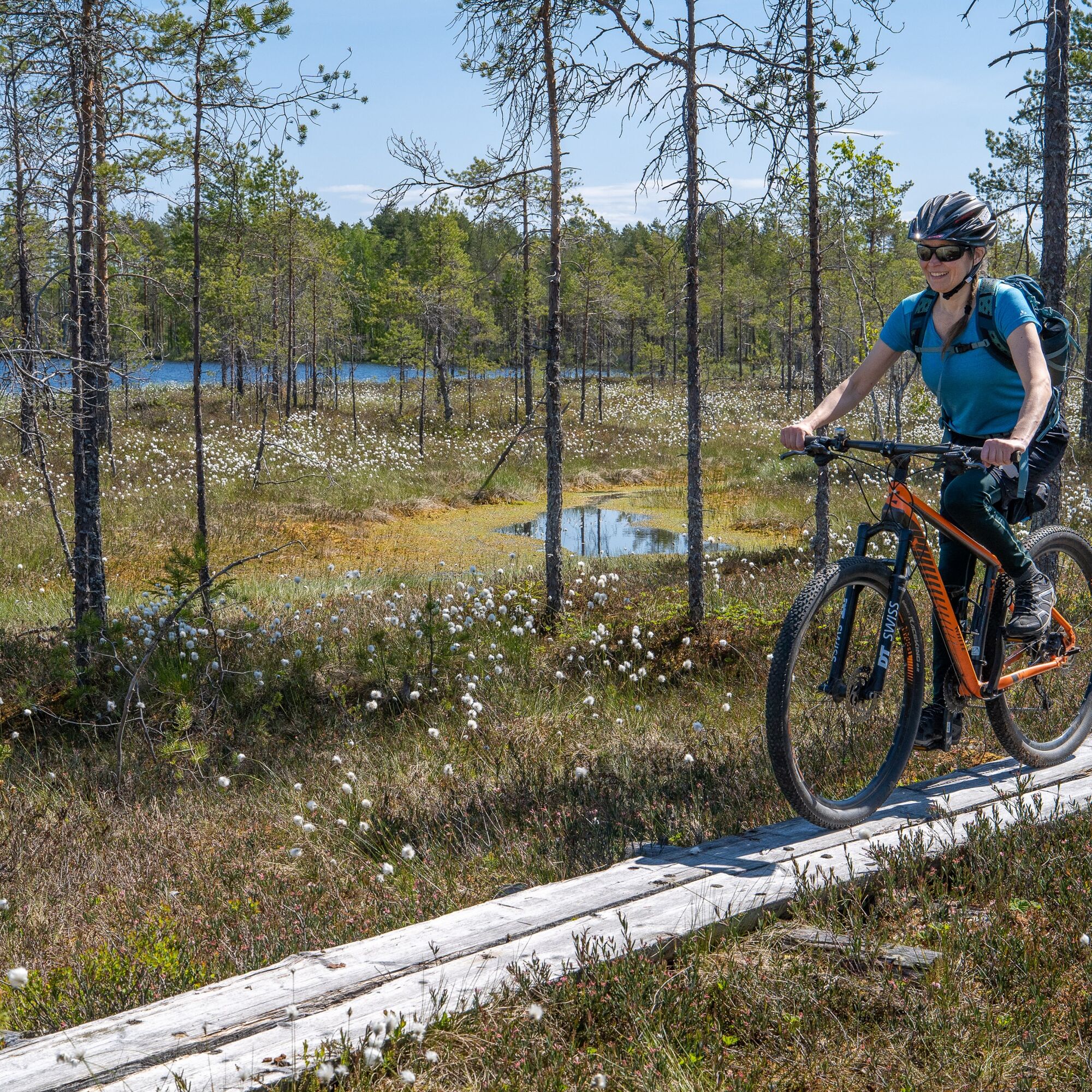
In North Karelia, Heinavesi, the Monastery Route offers a great overview of Eastern Finnish terrains. Besides narrow paths, you also walk on boardwalks and gravel roads.
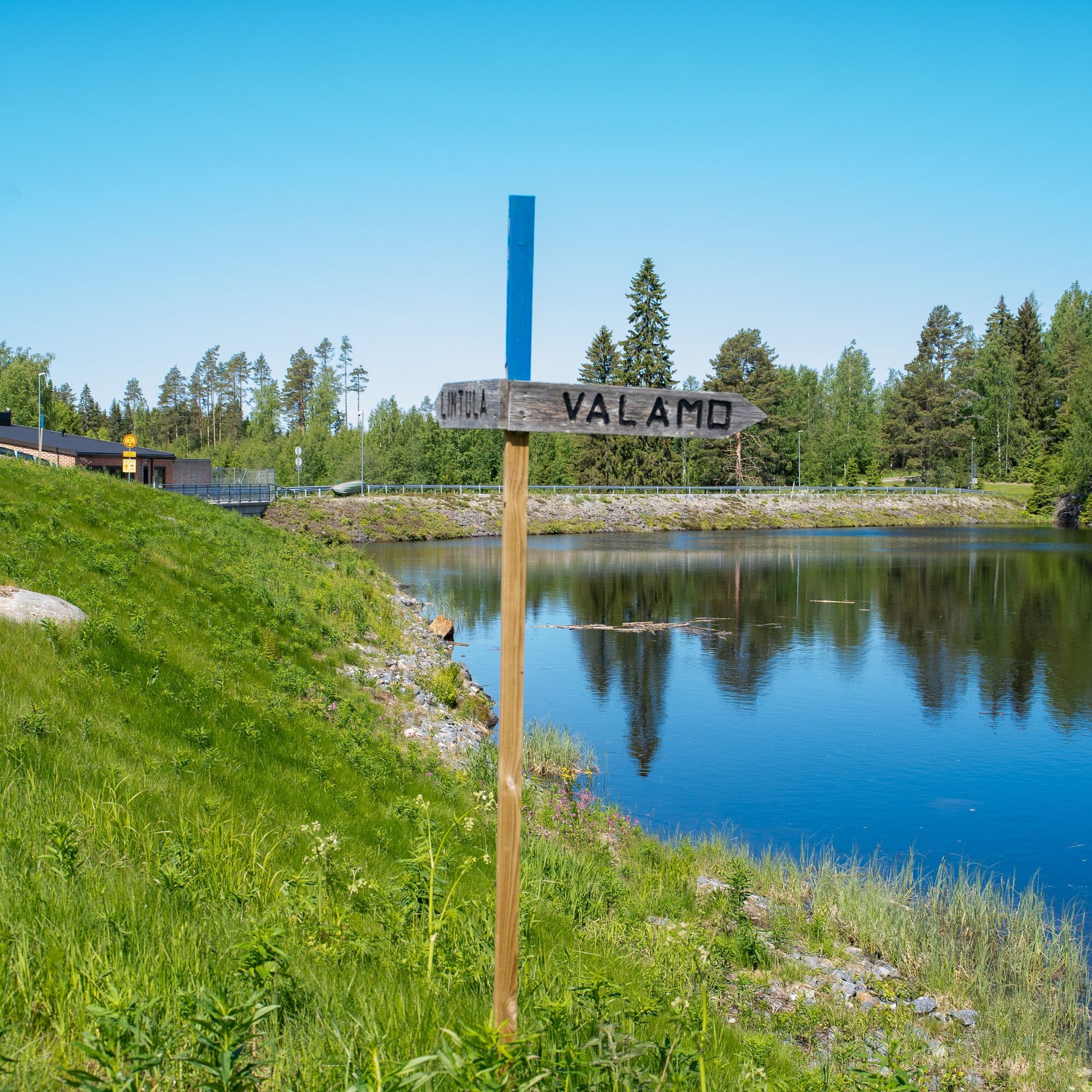
Starting from the gate of Valamo monastery, it is important to look for the blue route markings. Also departing from the gate is a shorter Prayer Path, the orange markings of which partly coincide with and partly cross the Monastery Route. If you want an extra kilometer of narrow path at the beginning, you can follow the orange-marked route for the first two kilometers and then continue along the blue route.
Overall, the Monastery Route is a relatively clearly marked route. The blue route signs are supported by weathered wooden signposts. However, it is recommended to have a GPX file or route map with you in case any signpost is missed.
In the early section, you cross Juurikkasalmi, next to which there is a small boat ramp with campfire places.
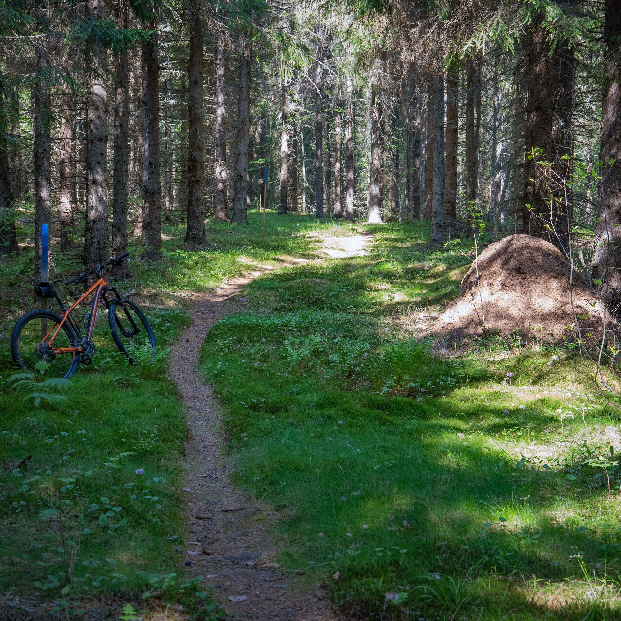
The cultural landscape changes into a narrow spruce forest path. About 4 km from the starting point, you can make a side trip to Monikkala Bay. There you find a modest campfire place.
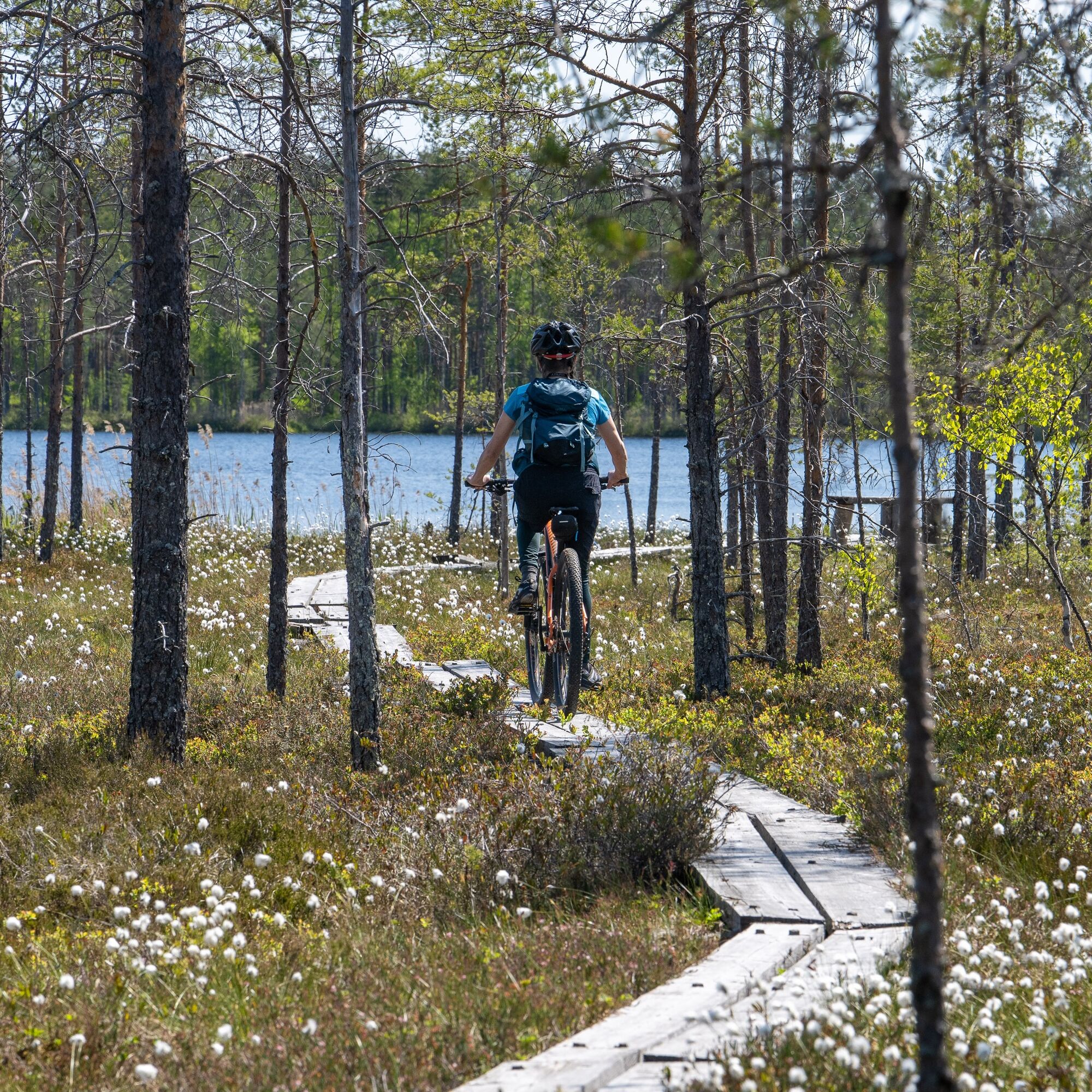
After crossing Heinämäki hill and Kansalantie road, the route descends towards Varissuo and the most demanding terrain sections of the hike. The nearly 2 km long swamp section can be mostly traversed on boardwalks. The condition of the boardwalks varies. There are several resting benches along the swamp section, and it is recommended to stop and enjoy the atmosphere at leisure.
After Varissuo, the route goes through an old mossy spruce forest until reaching Taivalkota. The hut is owned and maintained by the Varistaipale village association. In the neat and spacious building, eight hikers can spend the night.
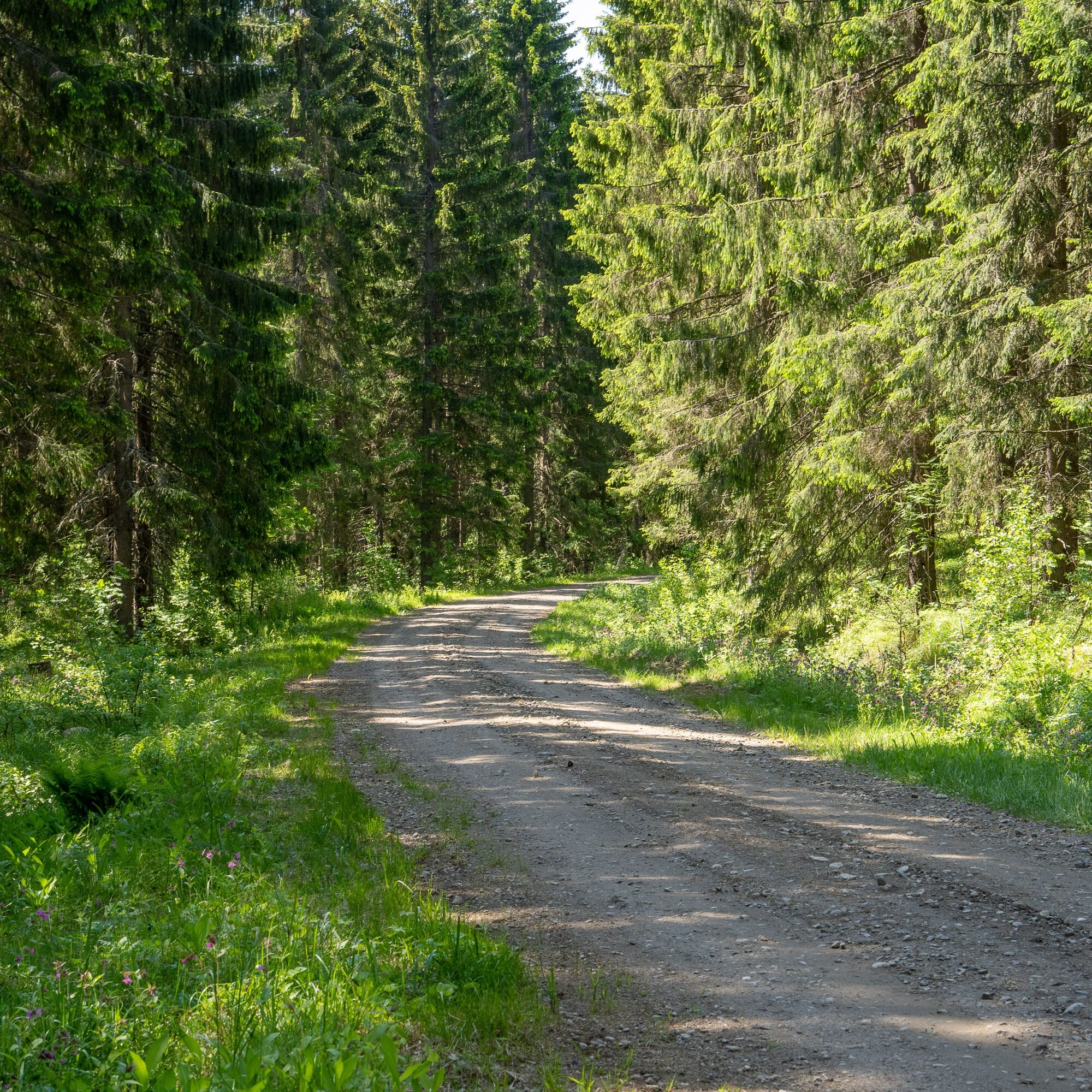
The next kilometers from the hut to the Taivalahti canal pass quickly partly along gravel roads.
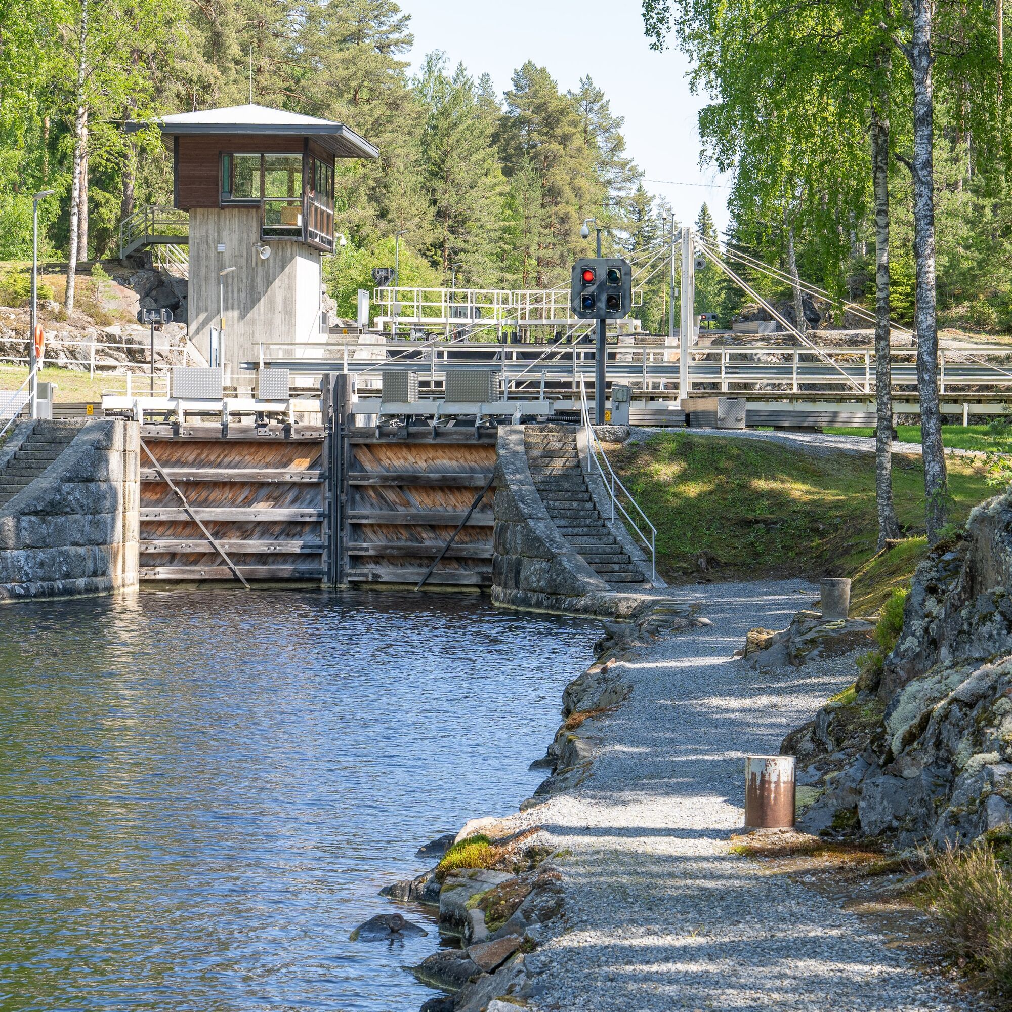
It is advisable to slow down in the canal area, as the canal and its surroundings have been listed as a nationally significant built cultural environment. The Taivalahti canal is part of the Heinavesi waterway, one of Finland's national landscapes.
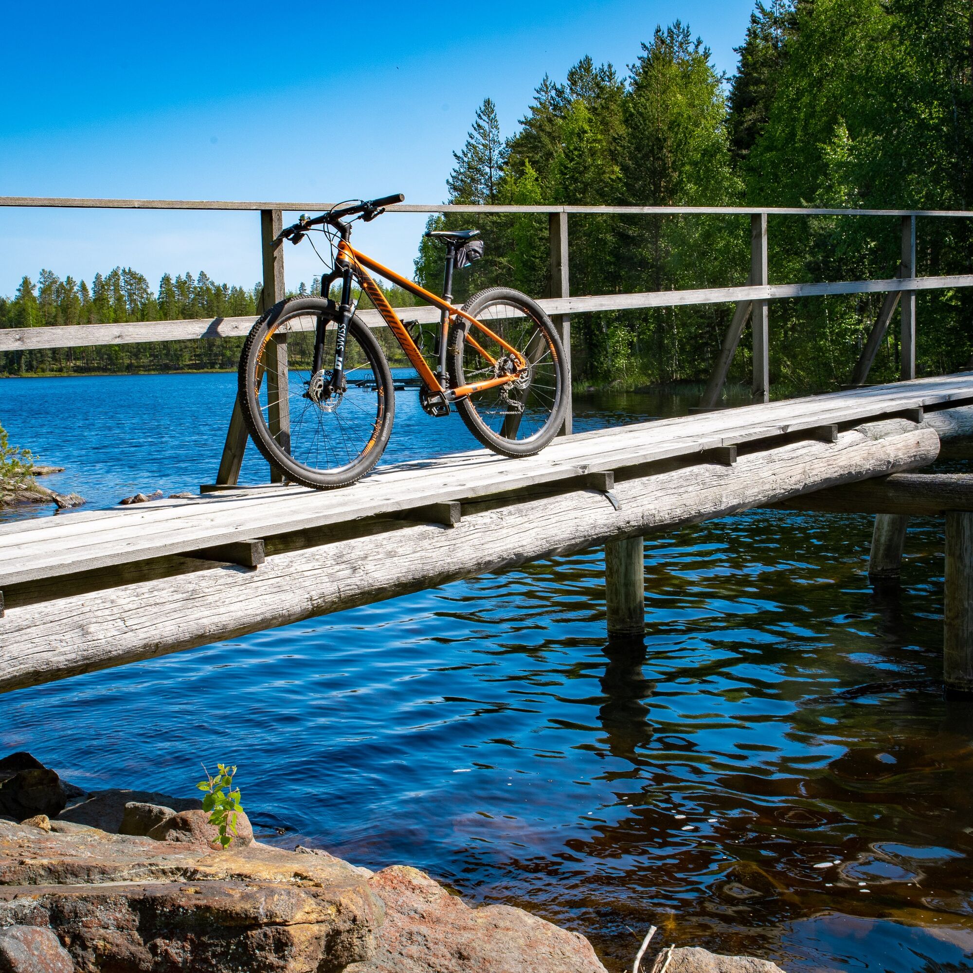
Winding along small gravel roads, the route reaches the Paloki hydropower plant. Soon after the plant, the route goes into a more forested section and crosses a beautiful wooden footbridge, after which it is just over a versta (approx. 1.067 km) to Lintula monastery.

The route has been updated with signposts, the color of which is blue. The route is relatively well marked, but just to be sure, it is recommended to have a GPX file and/or a route map with you.
Bring common repair tools in your riding backpack
Tire repair kit and pump
Weather-appropriate gear
Jacket for stops
Download the 112 emergency app to your phone
Download the GPX file in advance or bring a route map.
It's recommended to carry a small first aid kit
From Joensuu, drive west on Kuopio Road about 26 km, then turn left onto Varkaus Road and Vallantie for about 35 km, then turn right onto Valamontie. Continue on Valamontie for about 4 km and after crossing the bridge over Juurikkasalm, turn left to the Valamo monastery parking area.
There is irregular bus service from Joensuu to Valamo. Some buses travel about 4 km from Valamo. It is advisable to check bus schedules on the Matkahuolto website.
There are parking spaces at the Valamo monastery.
S3
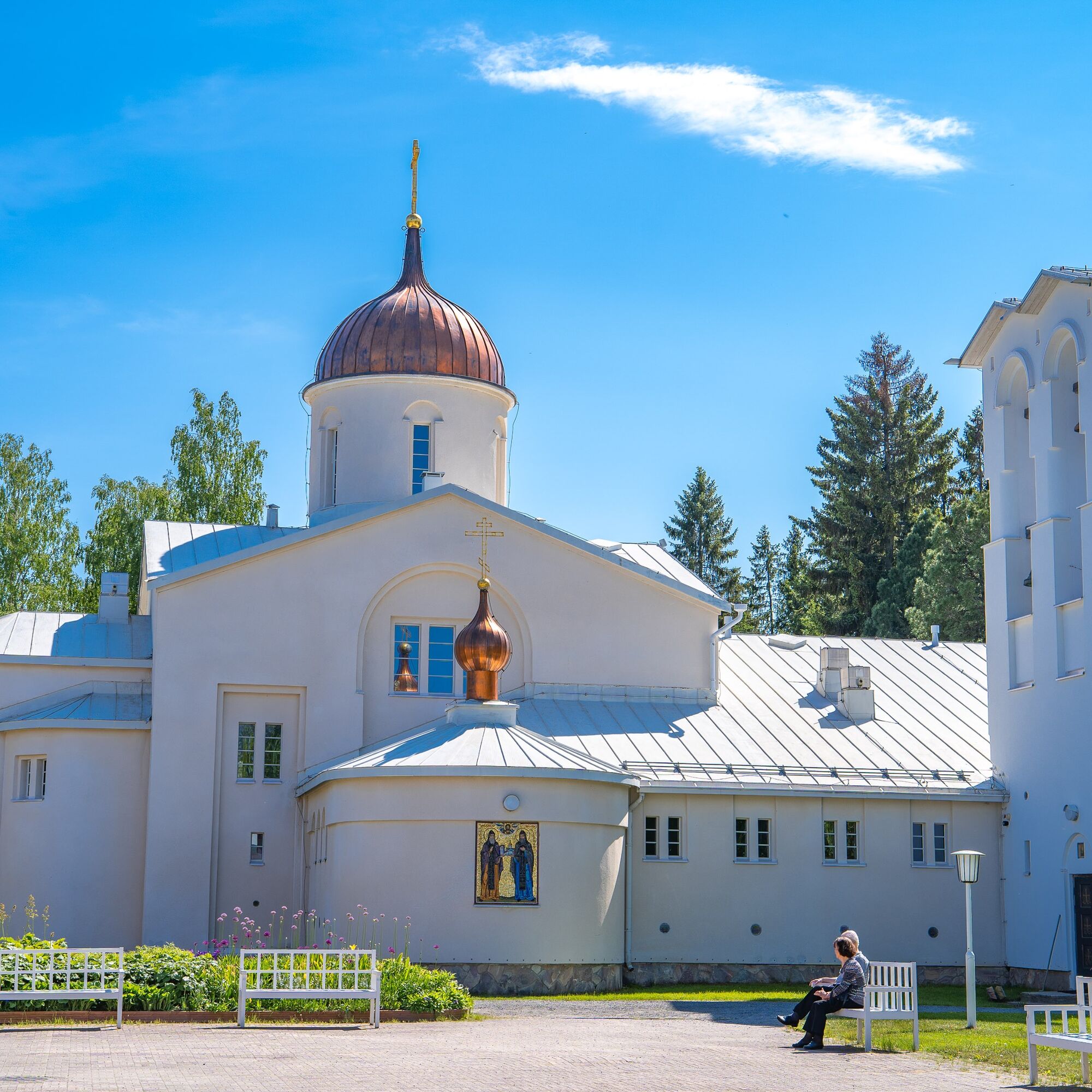
The Valamo monastery offers versatile accommodation, dining, and shop services.
If you want to add narrow paths for riding, turn left onto the orange-marked Prayer Path about one kilometer from the Valamo monastery, until the route intersects again with the Monastery Route.
The Taivalkota halfway along the route can be booked (Aarne Hiltunen, tel. 0400-373 926)
2.5 km from the Lintula monastery is the Riski cabin, which can be reserved at the number 0400-174 617.
Café Ronttopuisto (open during summer) www.facebook.com/ronttopuisto.cafesaurus
Palokin Guesthouse www.palokinmajatalo.com/
Luotsin Talot www.facebook.com/luotsintalot
Priljubljeni izleti v okolici
-
Valamon rukouspolku 3,3 km
srednjaPohodništvo 3.30 km -
Monastery Hike Valamo - Lintula
srednjaRomarska pot 20.3 km -
Pyhän Paraskevan polku Lintulan luostarissa
srednjaPohodništvo 1.21 km -
Valamo-Matkamiehen risti 4 km
svetlobaPohodništvo 4.50 km -
Heinävesi - Palokki
srednjaGorski pohodništvo 7.20 km -
Luostarivaellus Valamo - Lintula - Valamo (40 km)
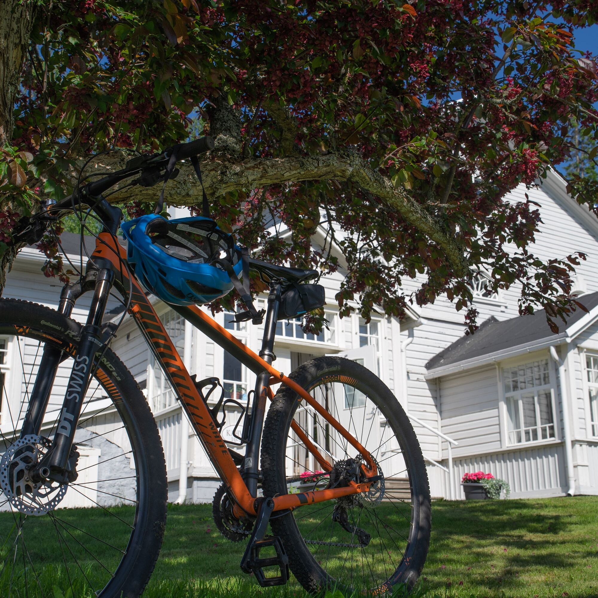
težkoMountainbike 40.3 km -
Luostarivaellus Valamo-Lintula
težkoPohodništvo 19.7 km

Pohodništvo in sledenje


Ne zamudite ponudb in navdiha za naslednje počitnice
Vaš e-poštni naslov je bil dodan na poštni seznam.