







SUSA From Susa to Rocciamelone

Stopnja težavnosti: T3
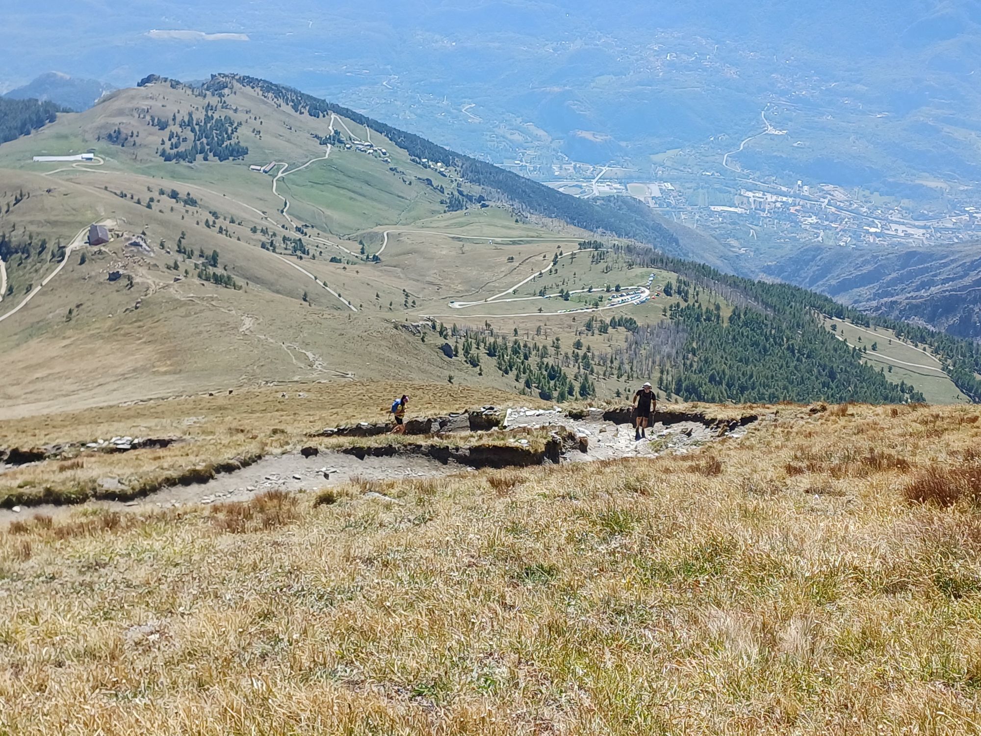
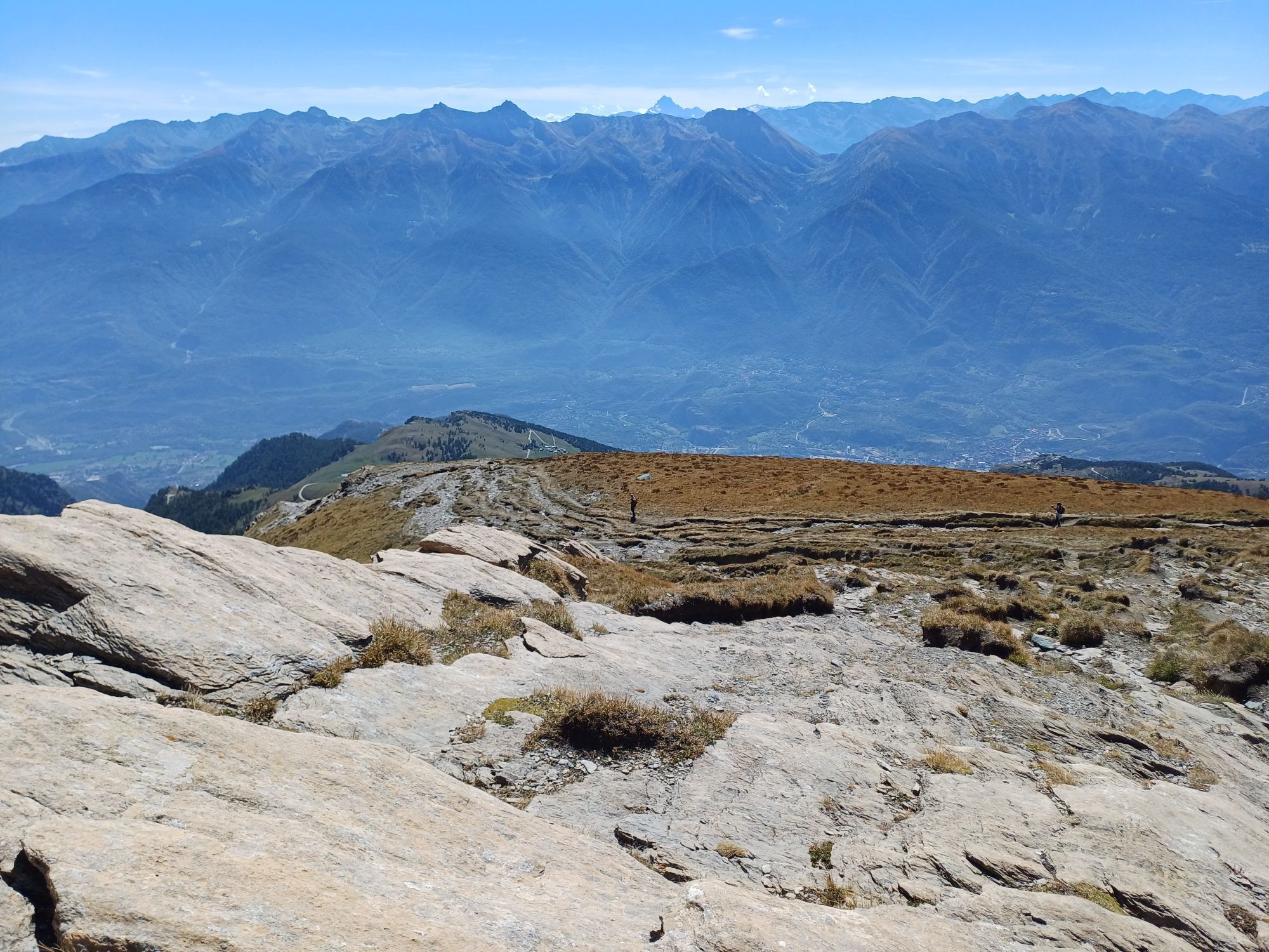
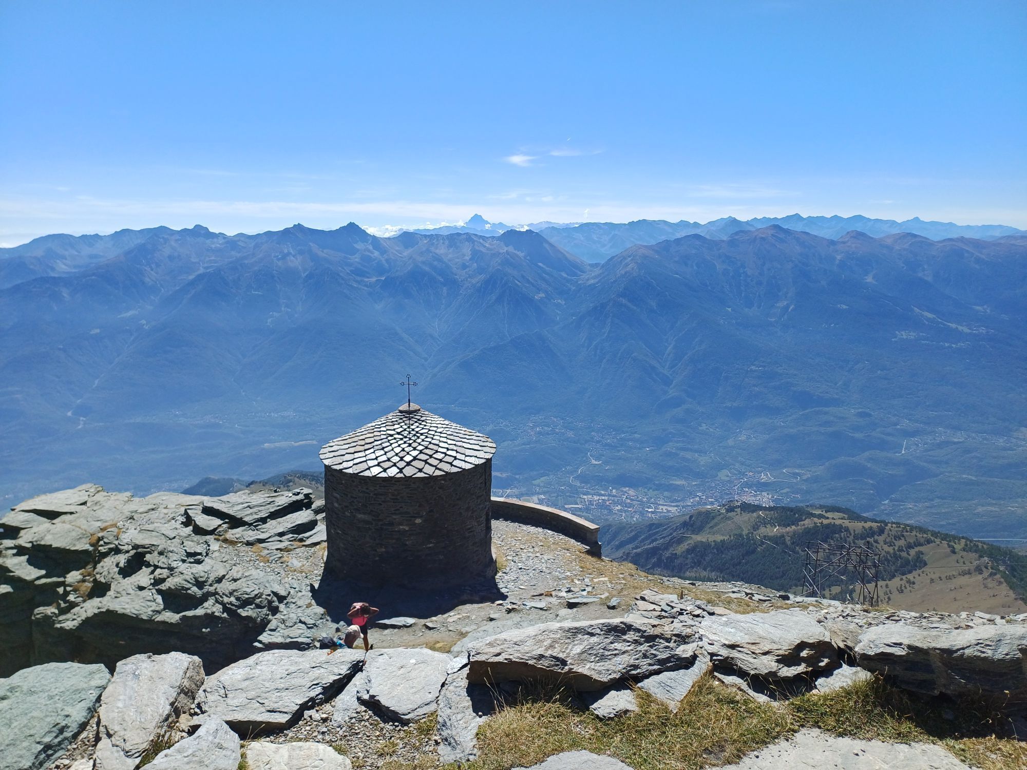
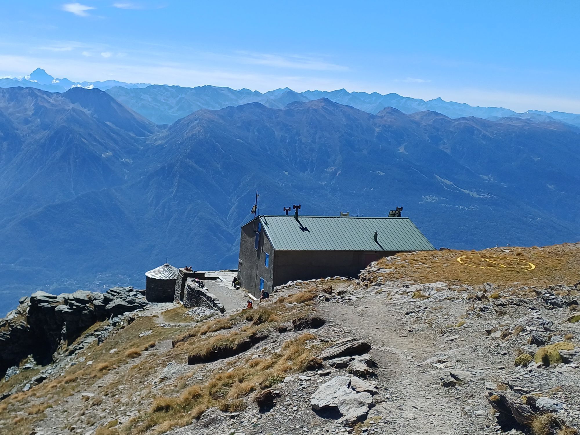
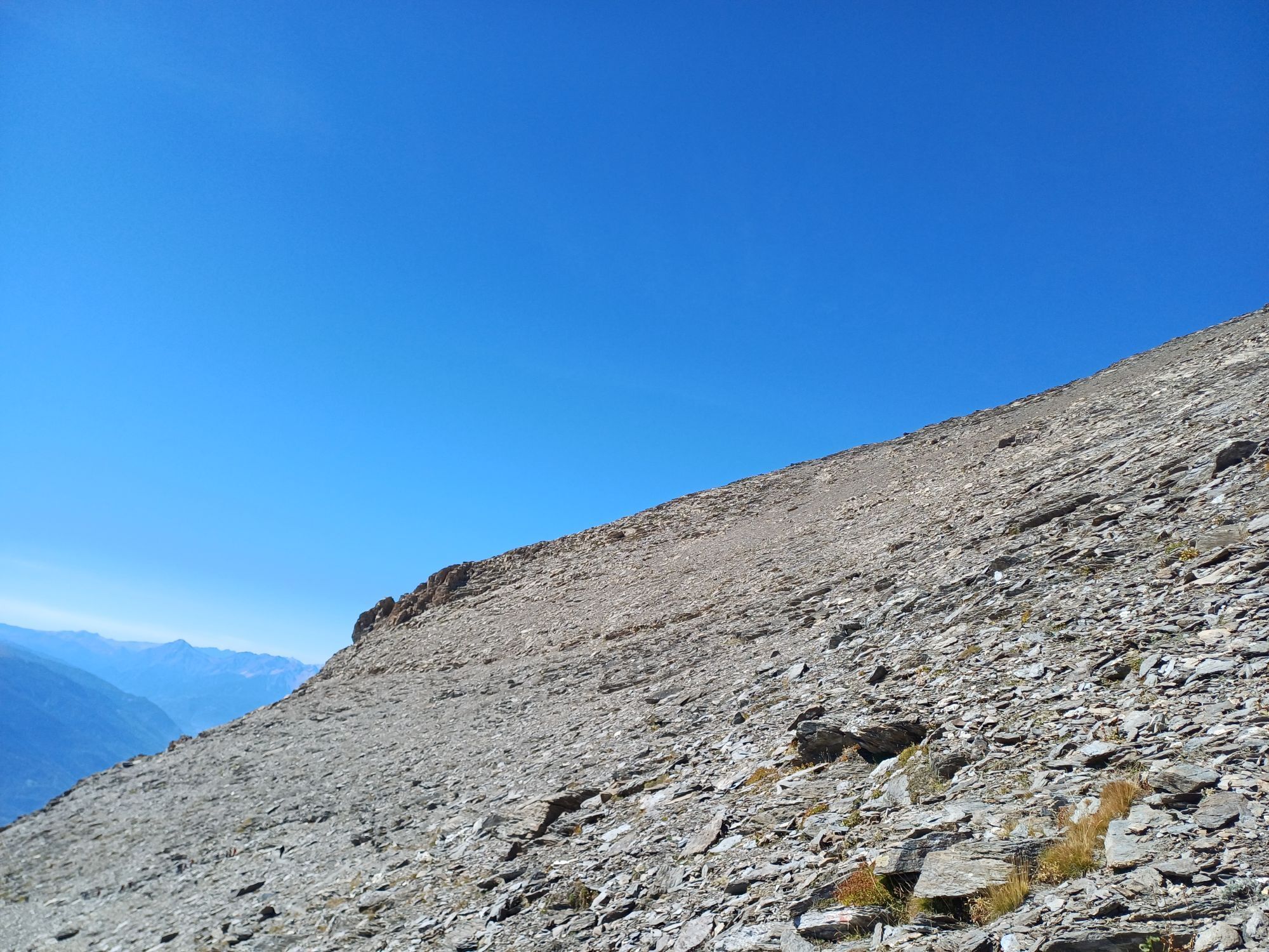
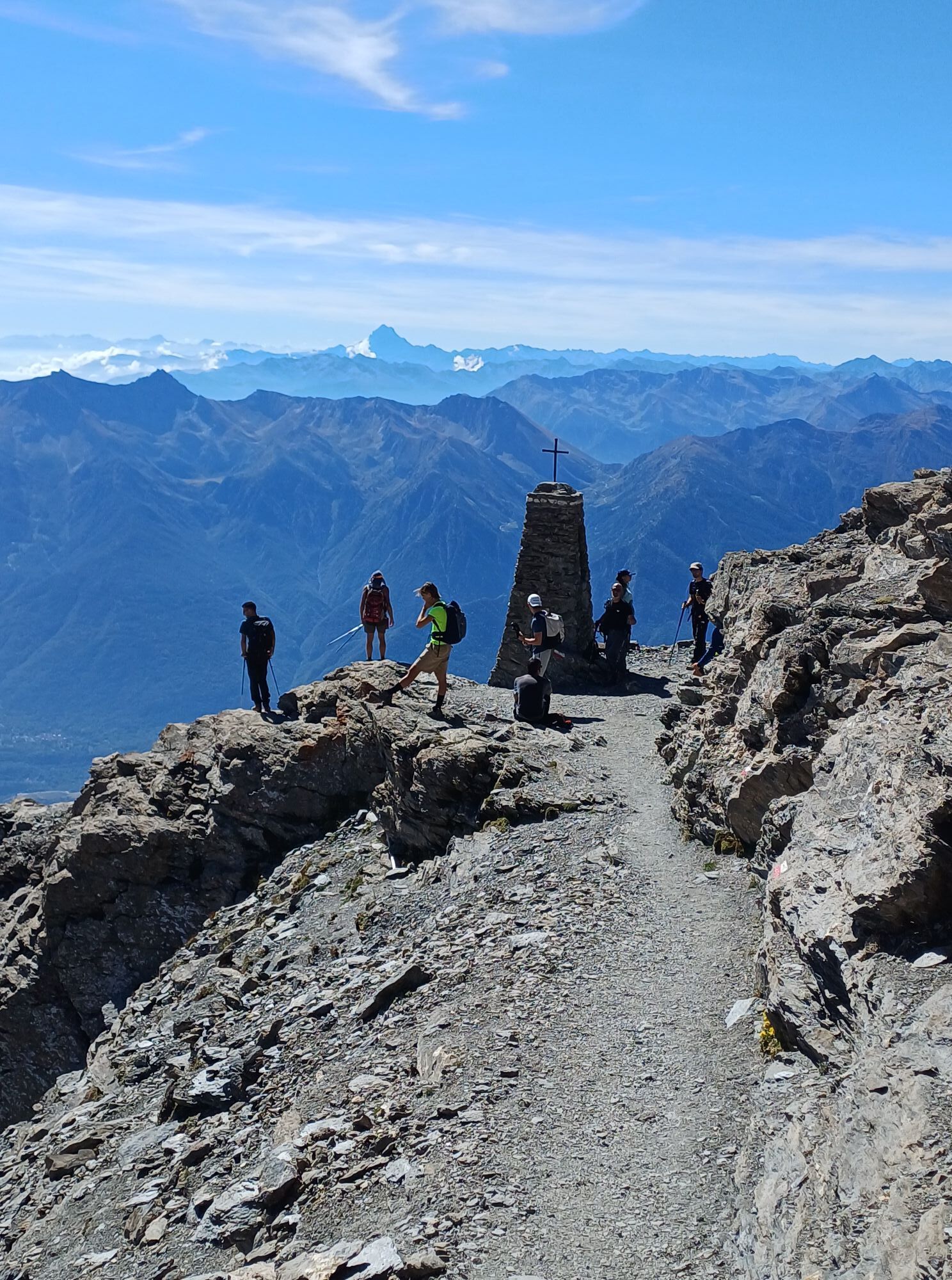
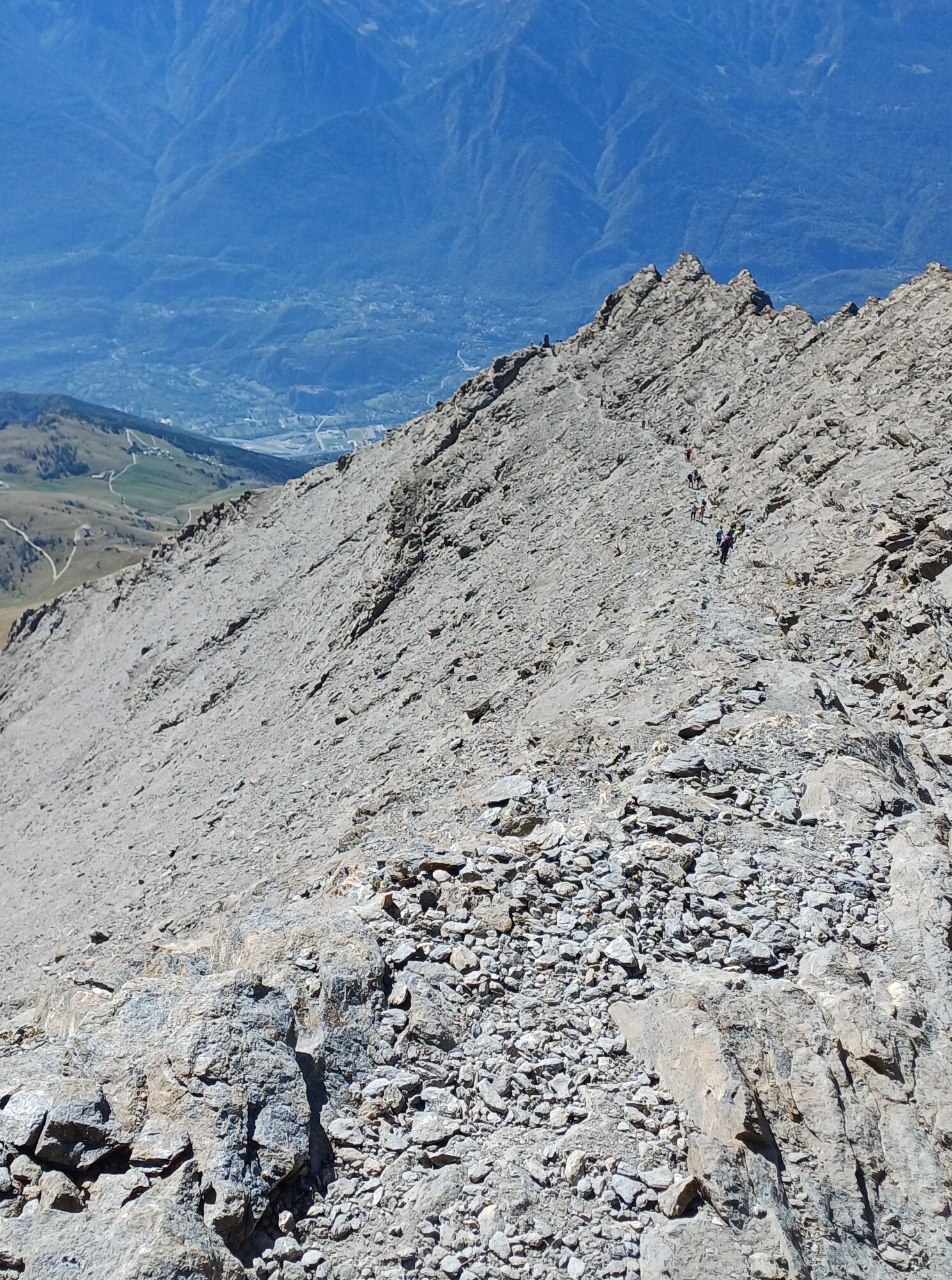
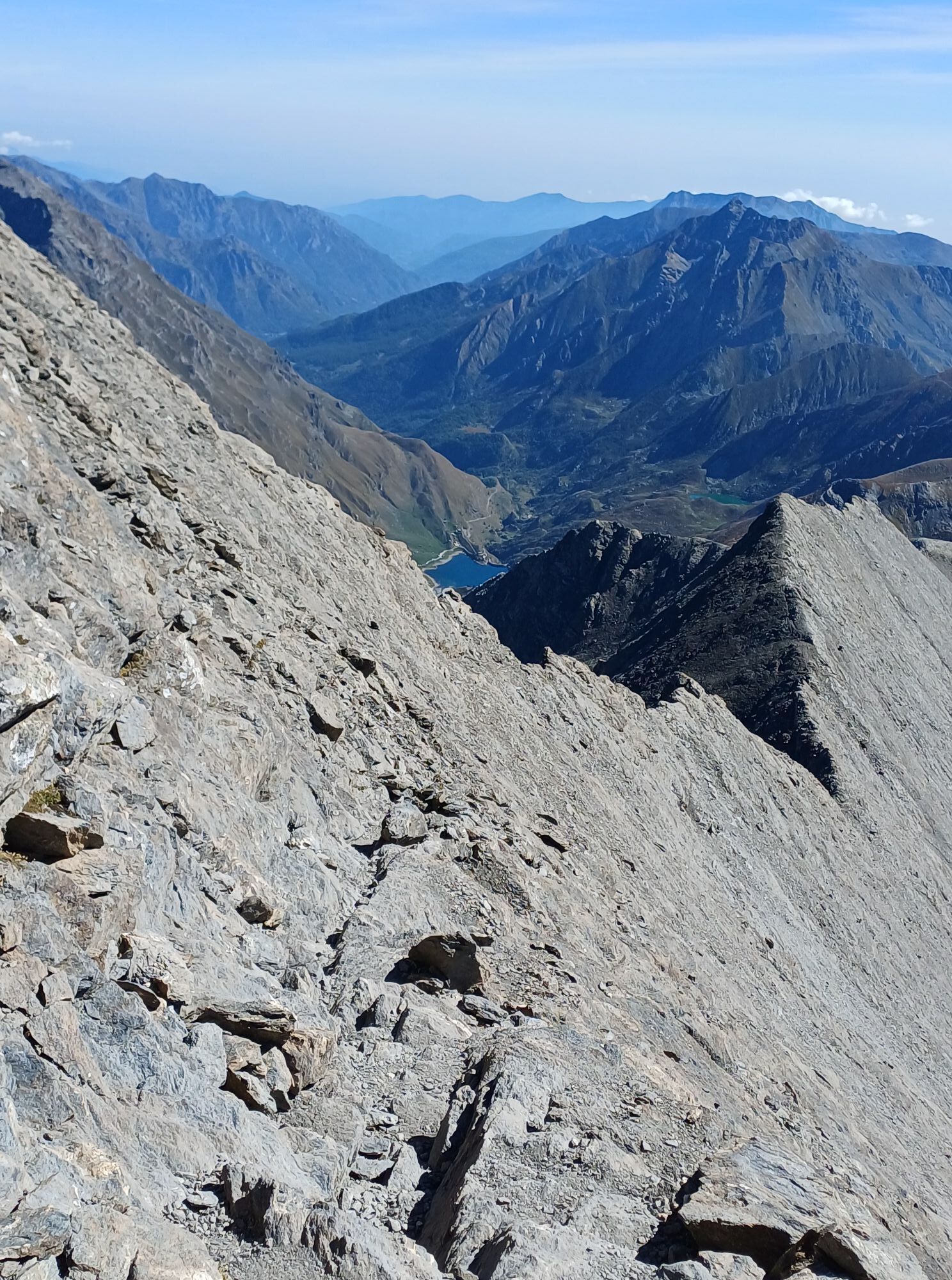
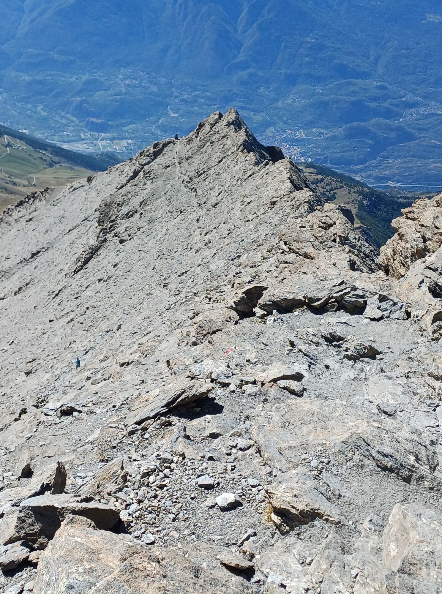
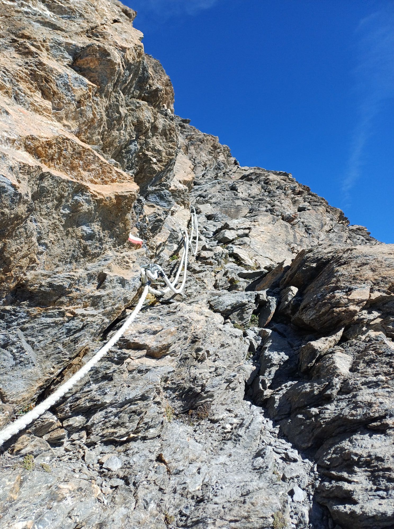
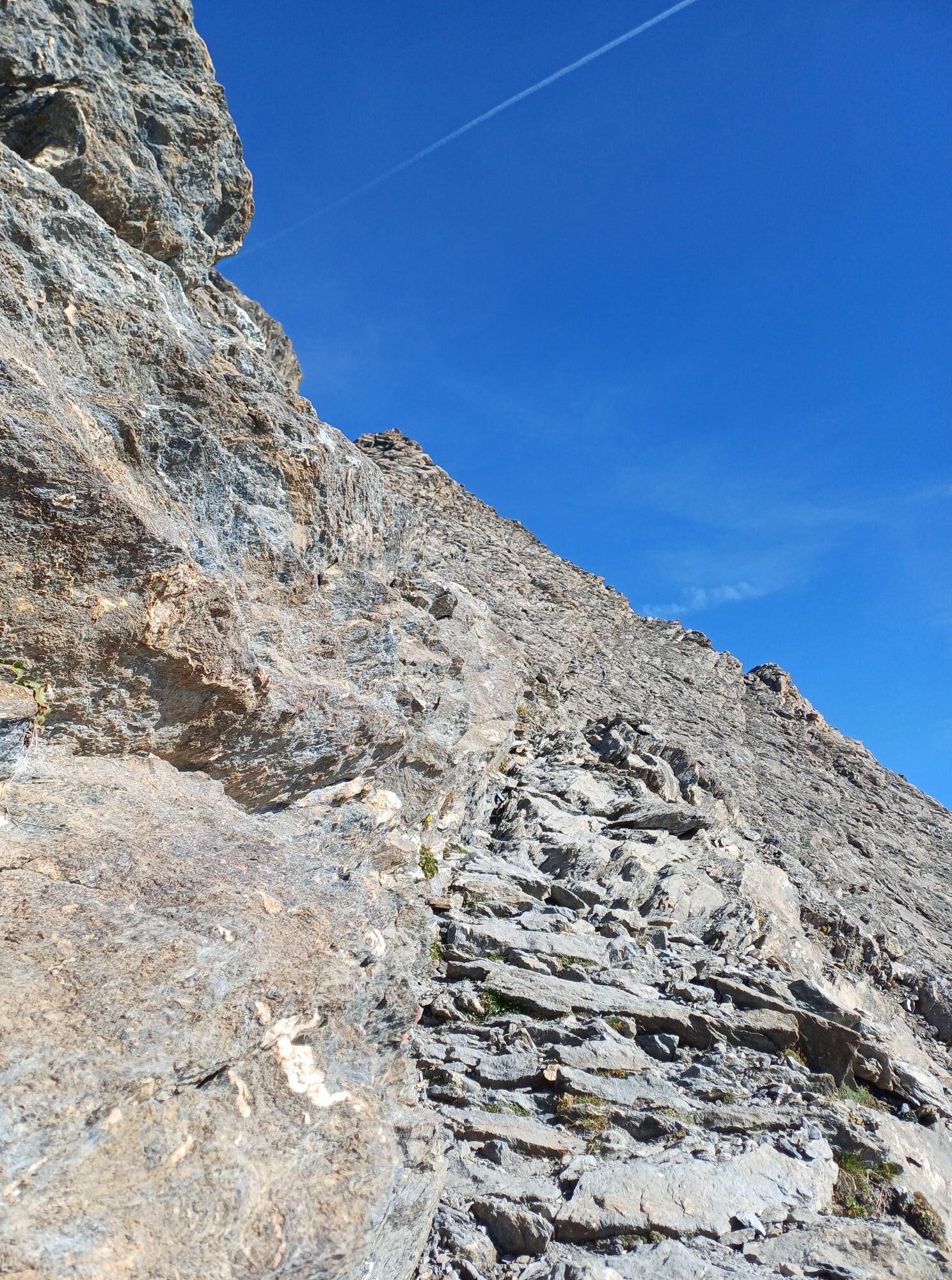
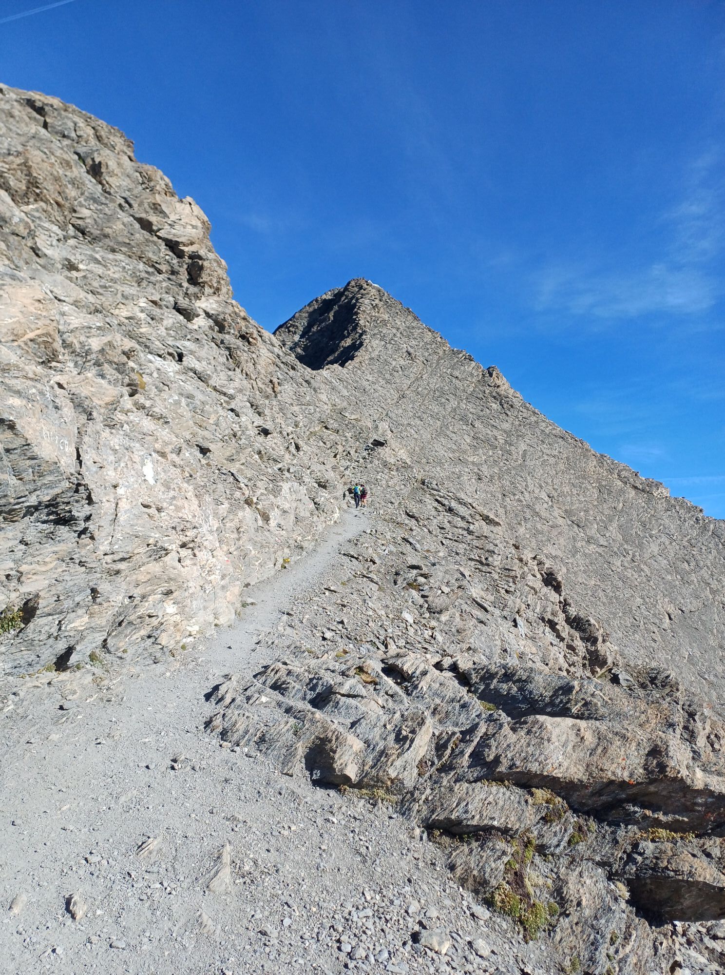
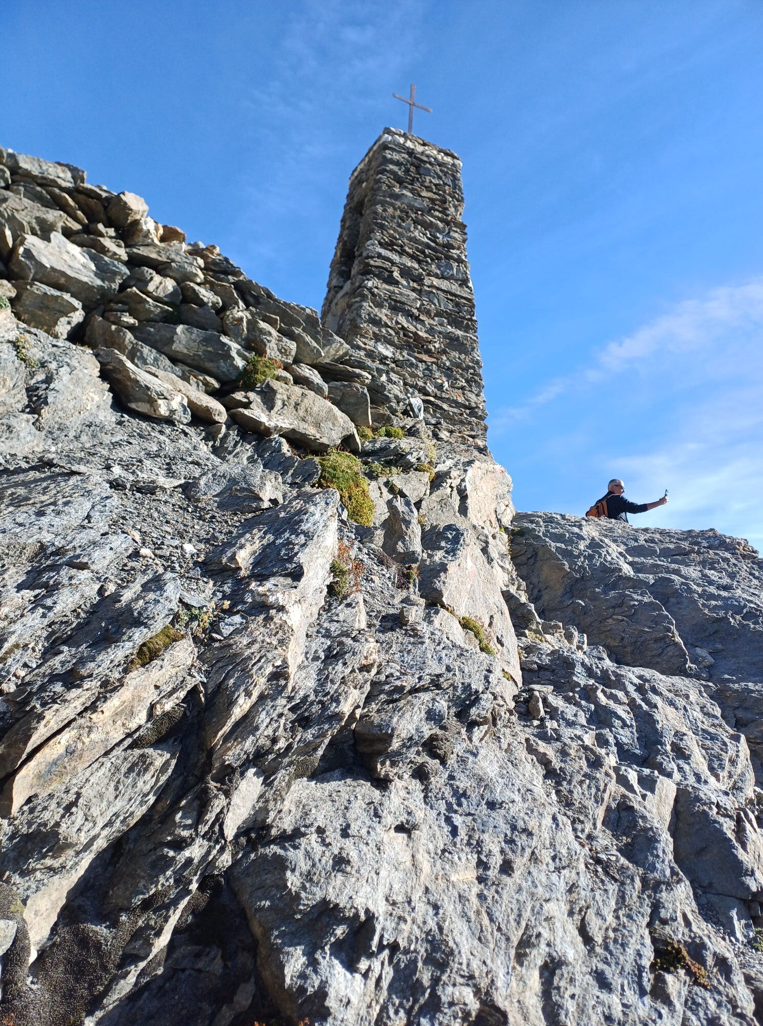
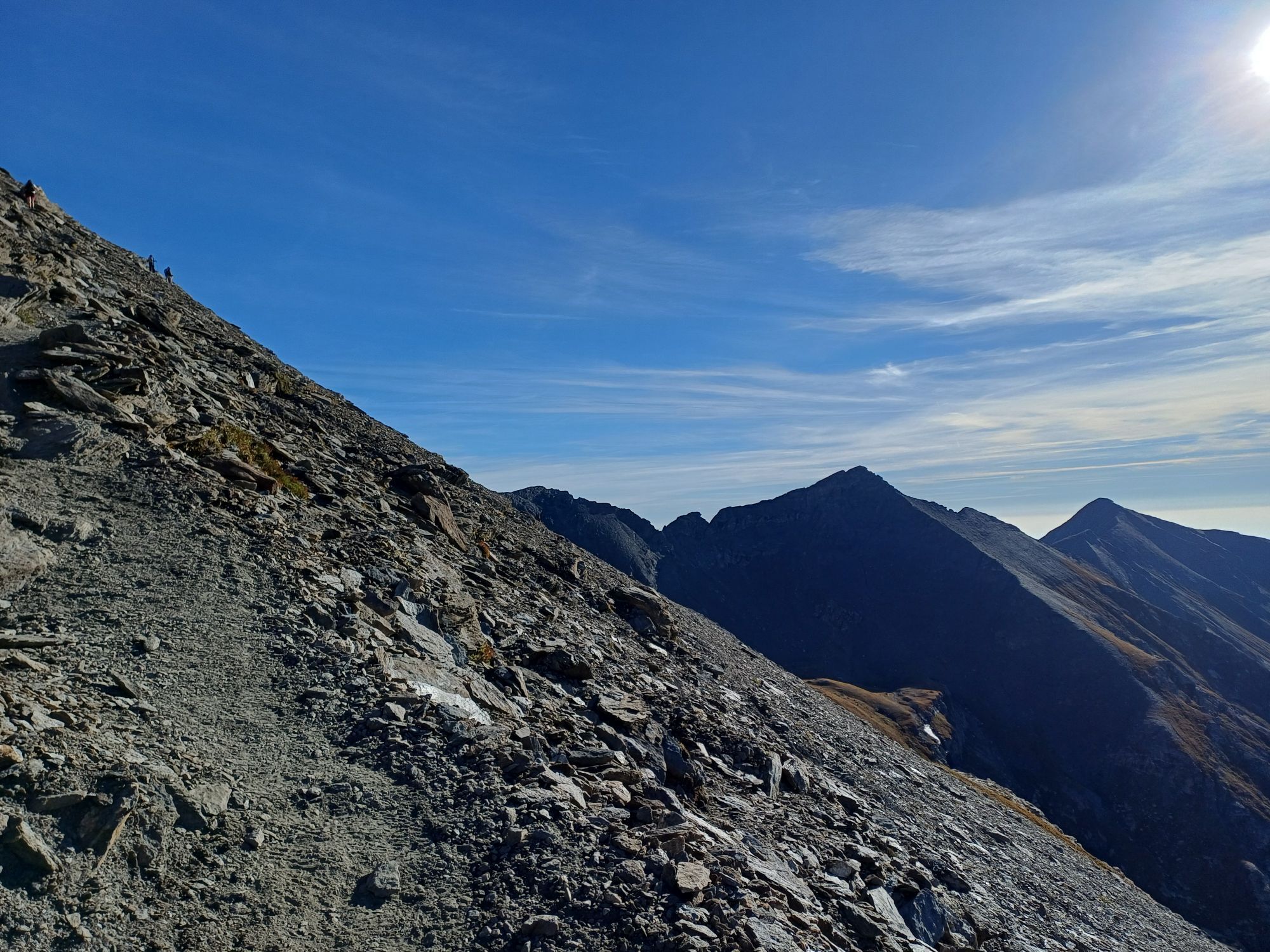
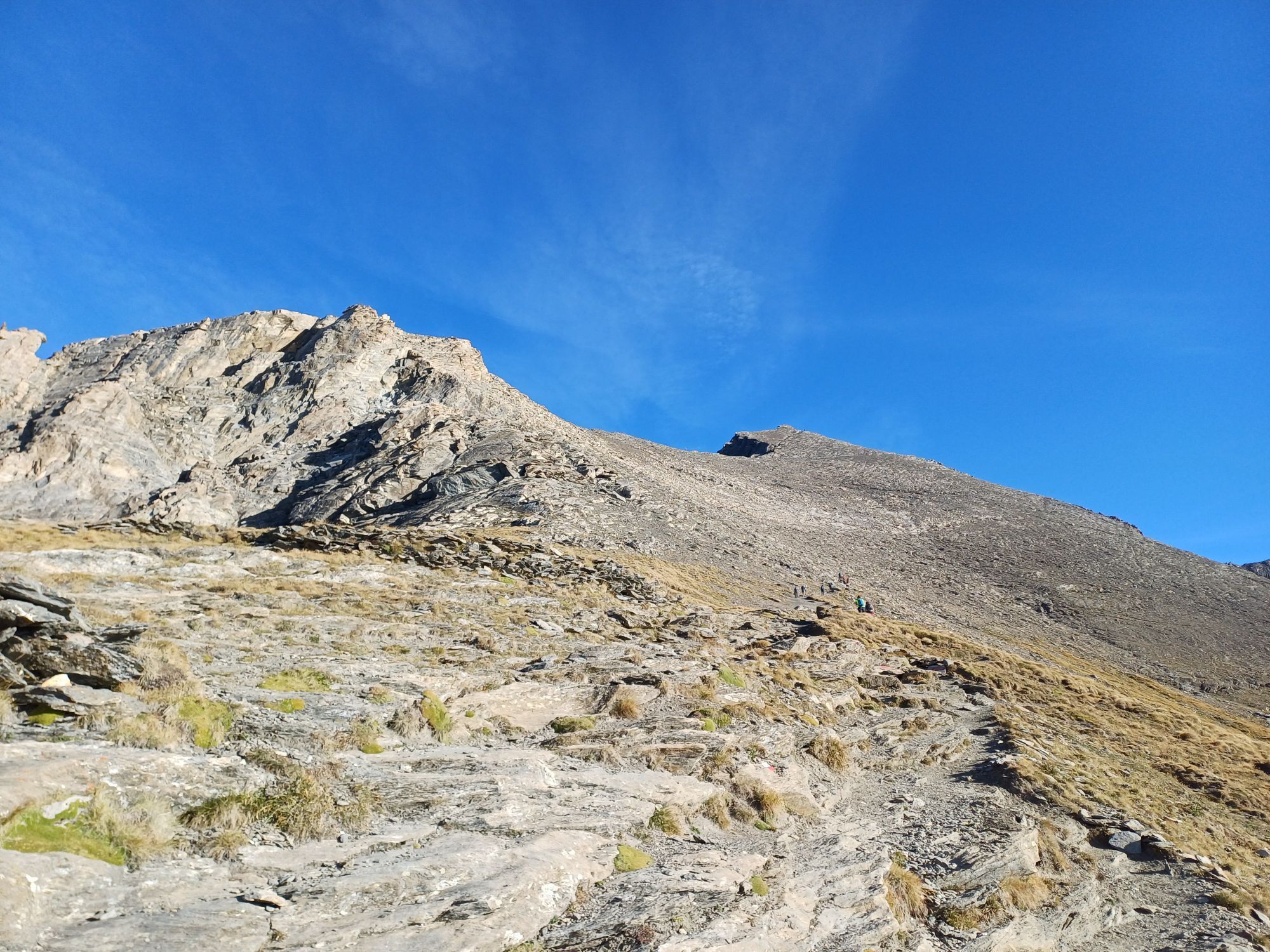
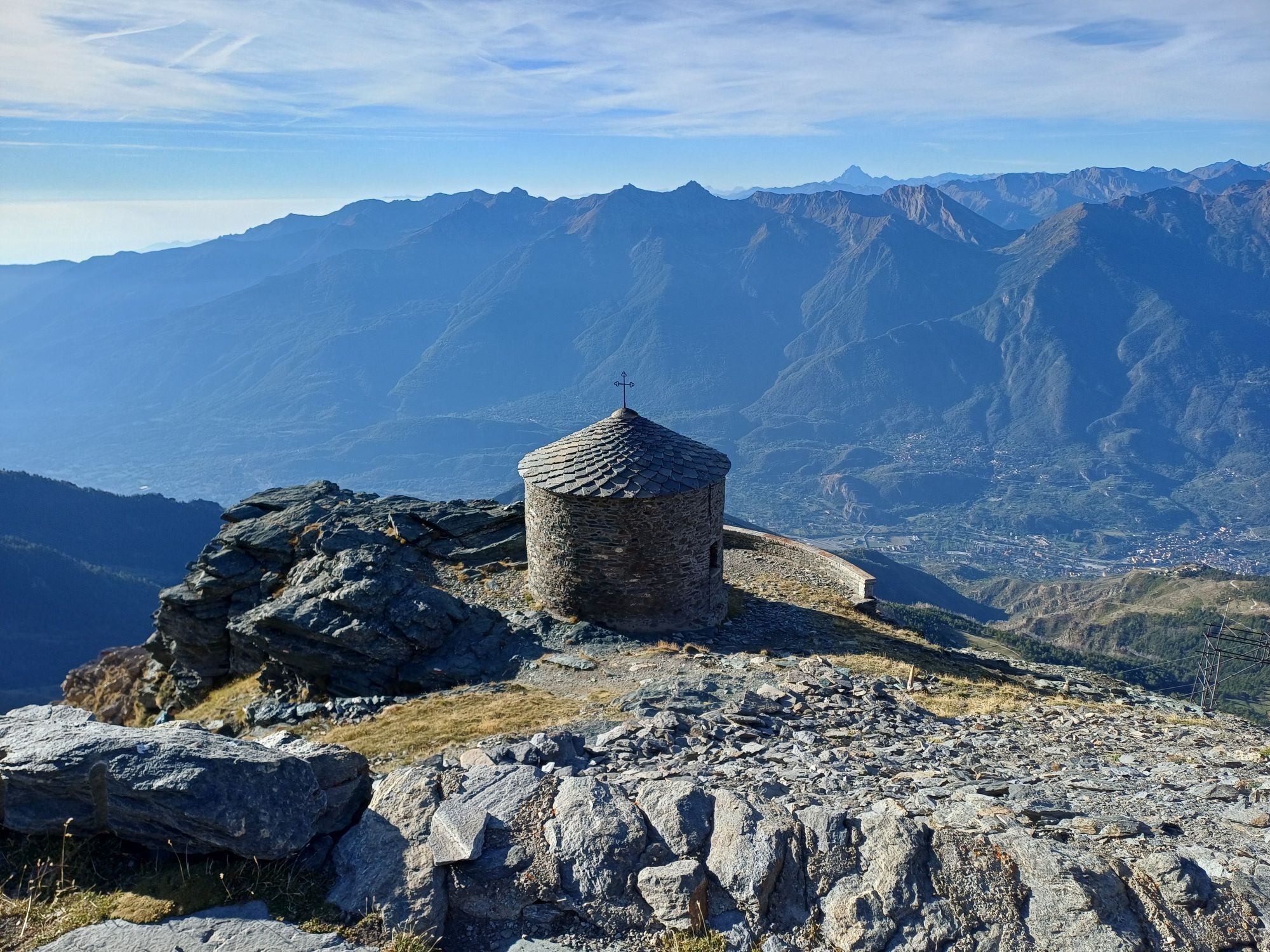
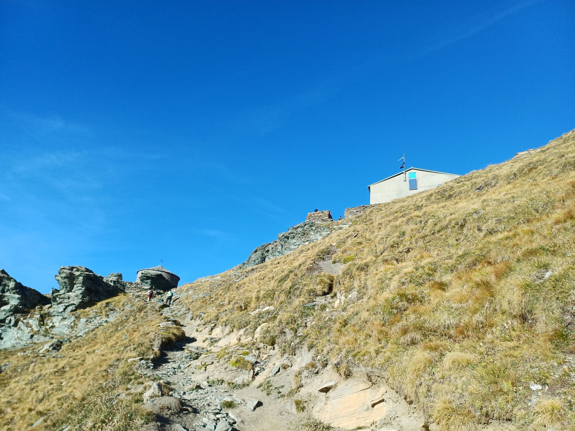
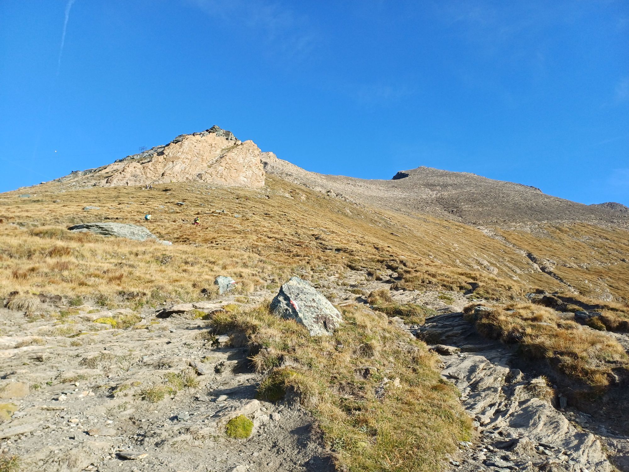
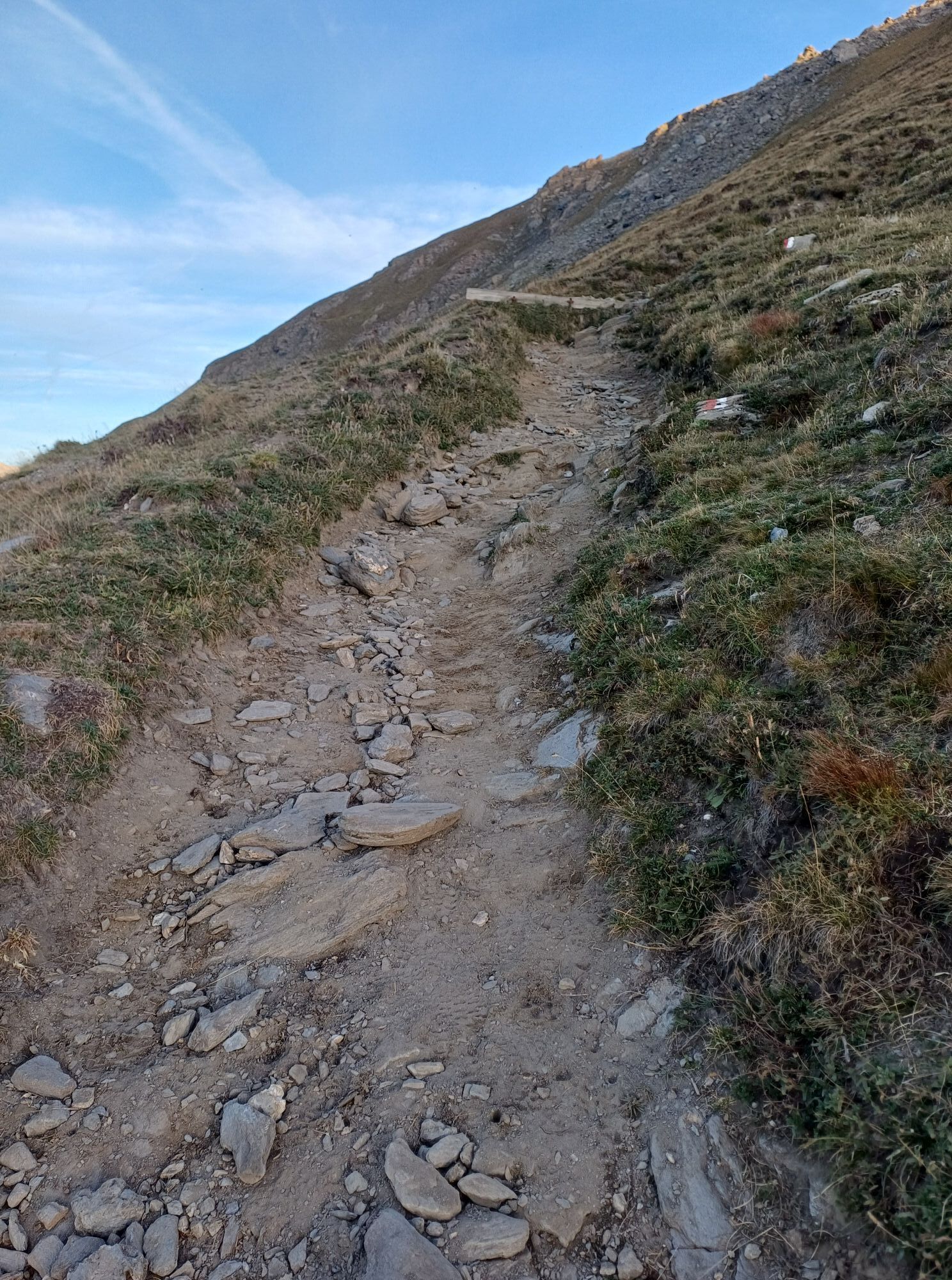
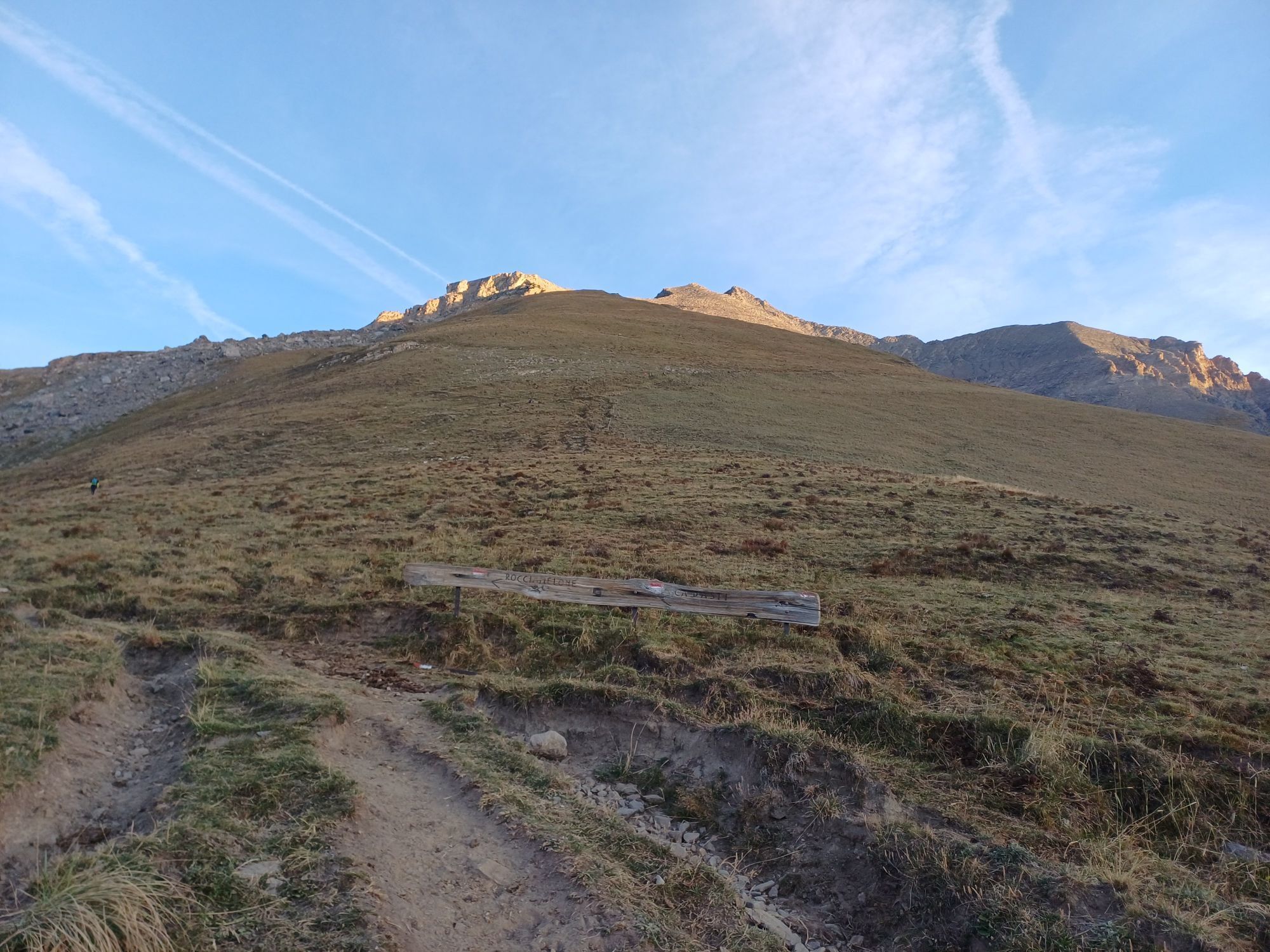
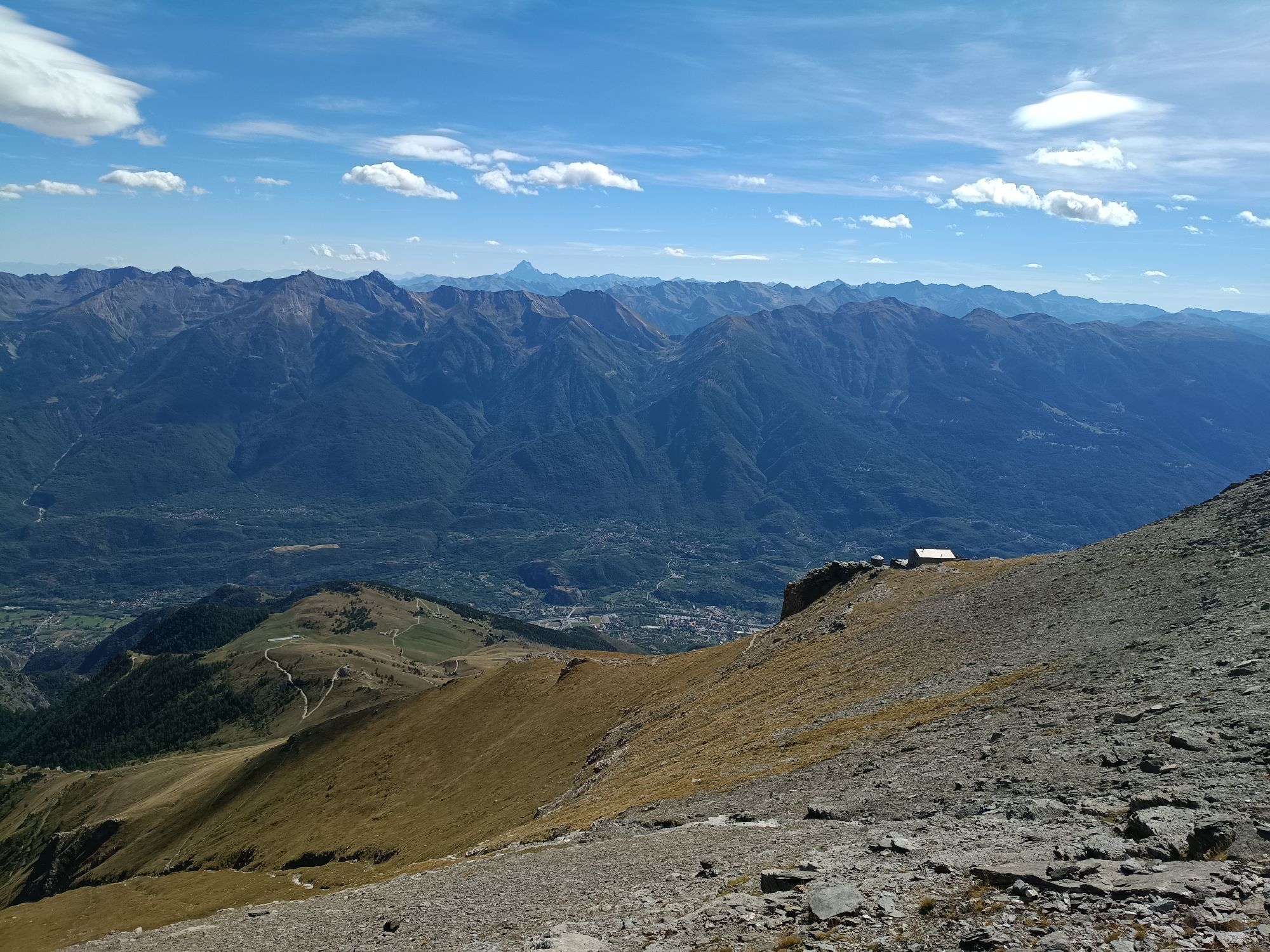
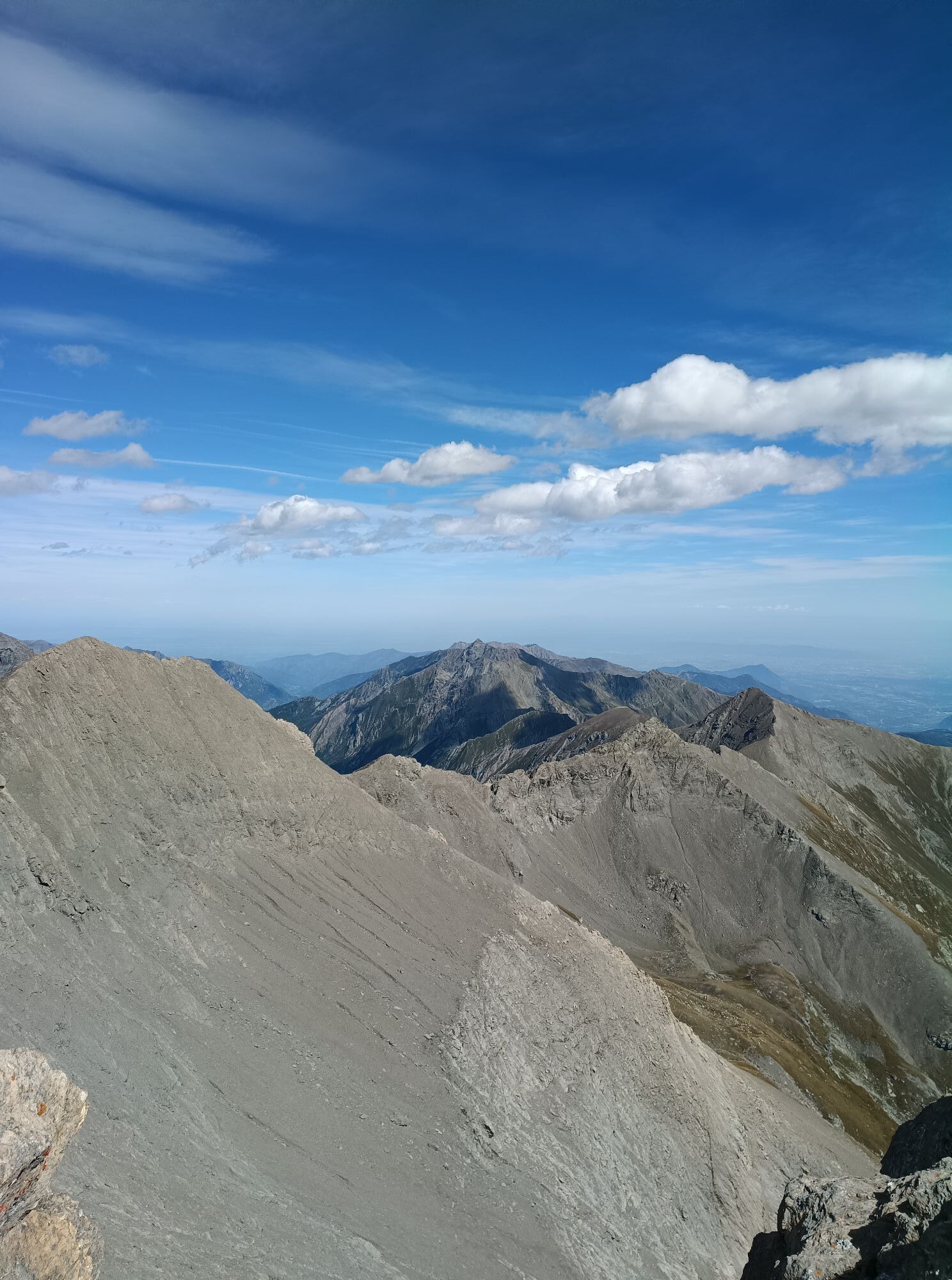
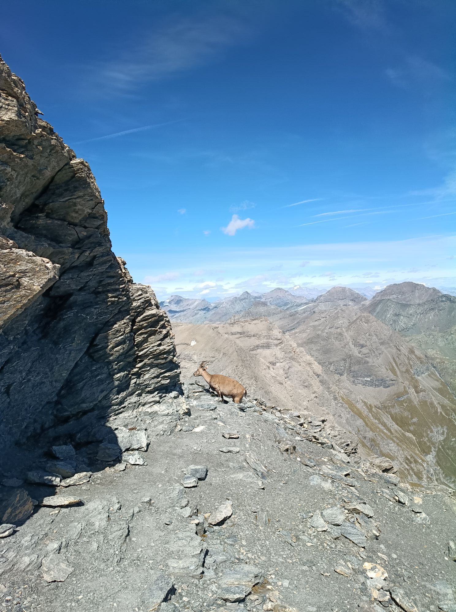
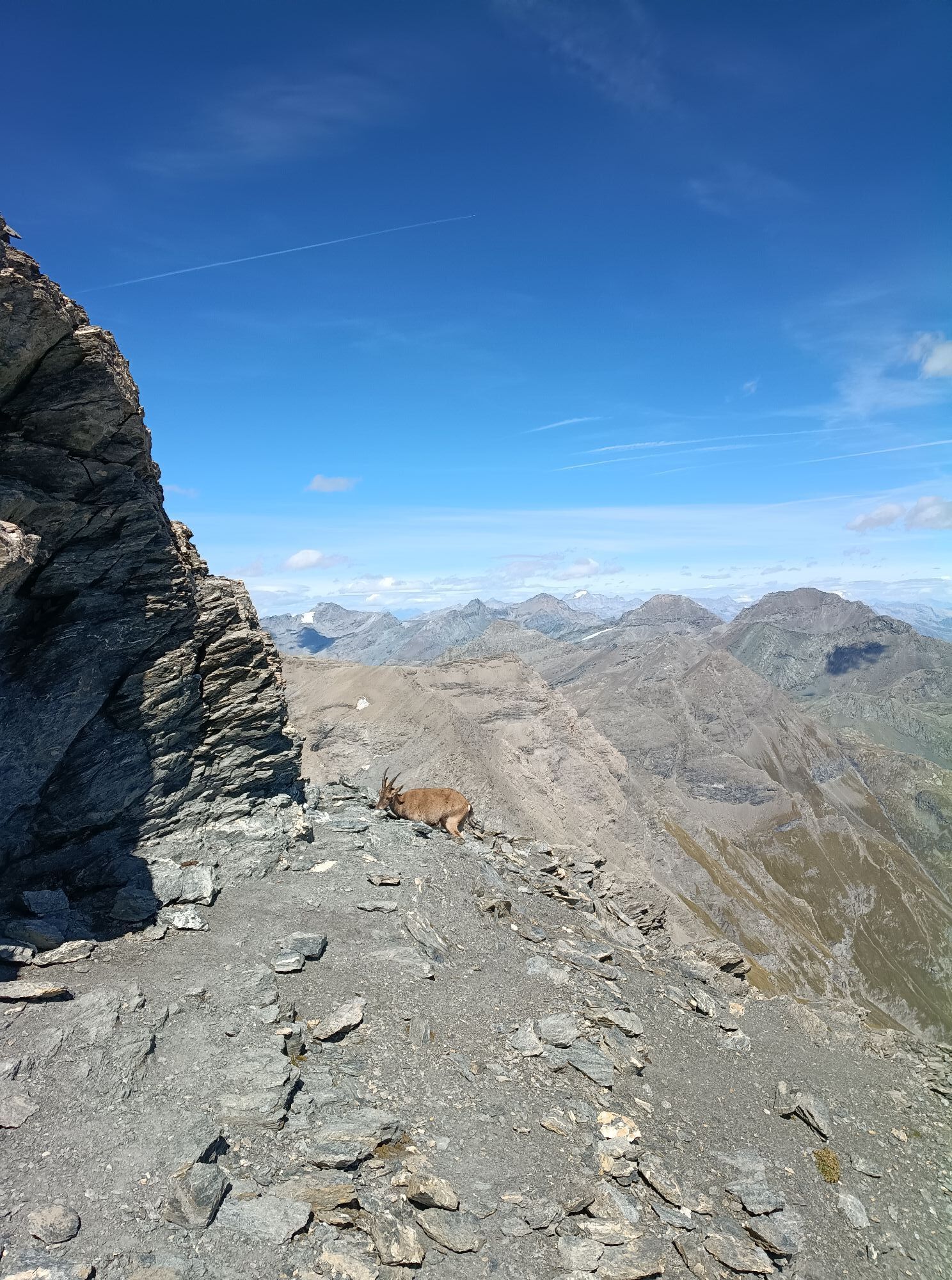
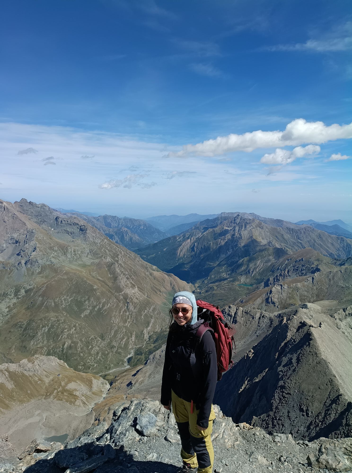
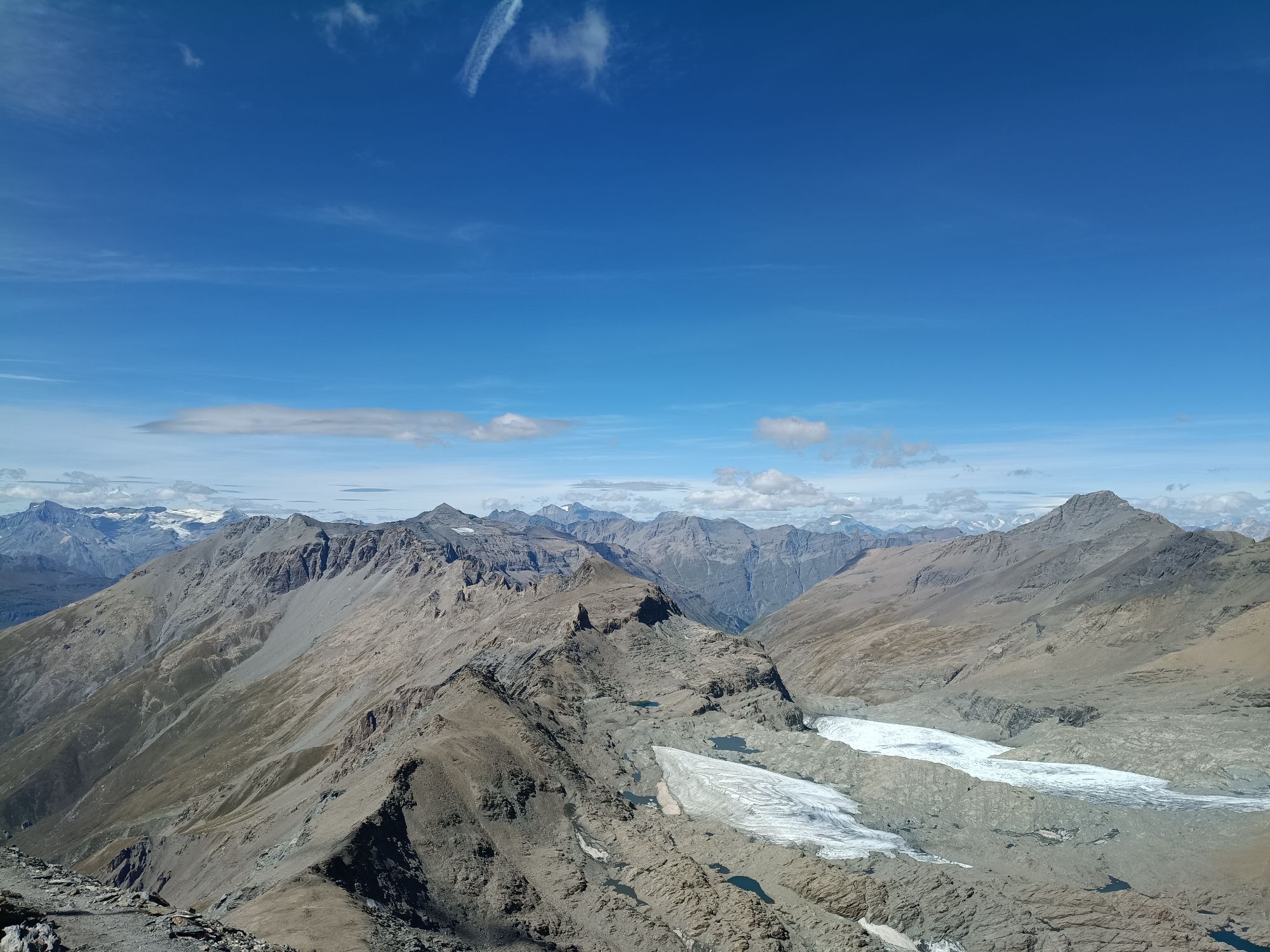
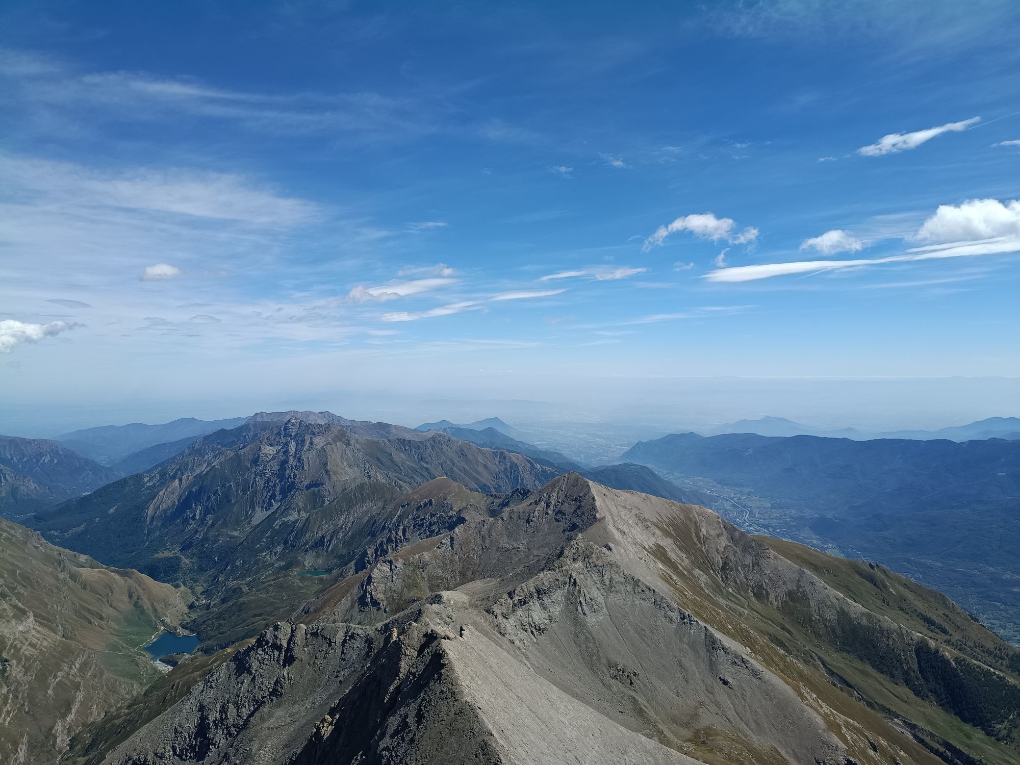
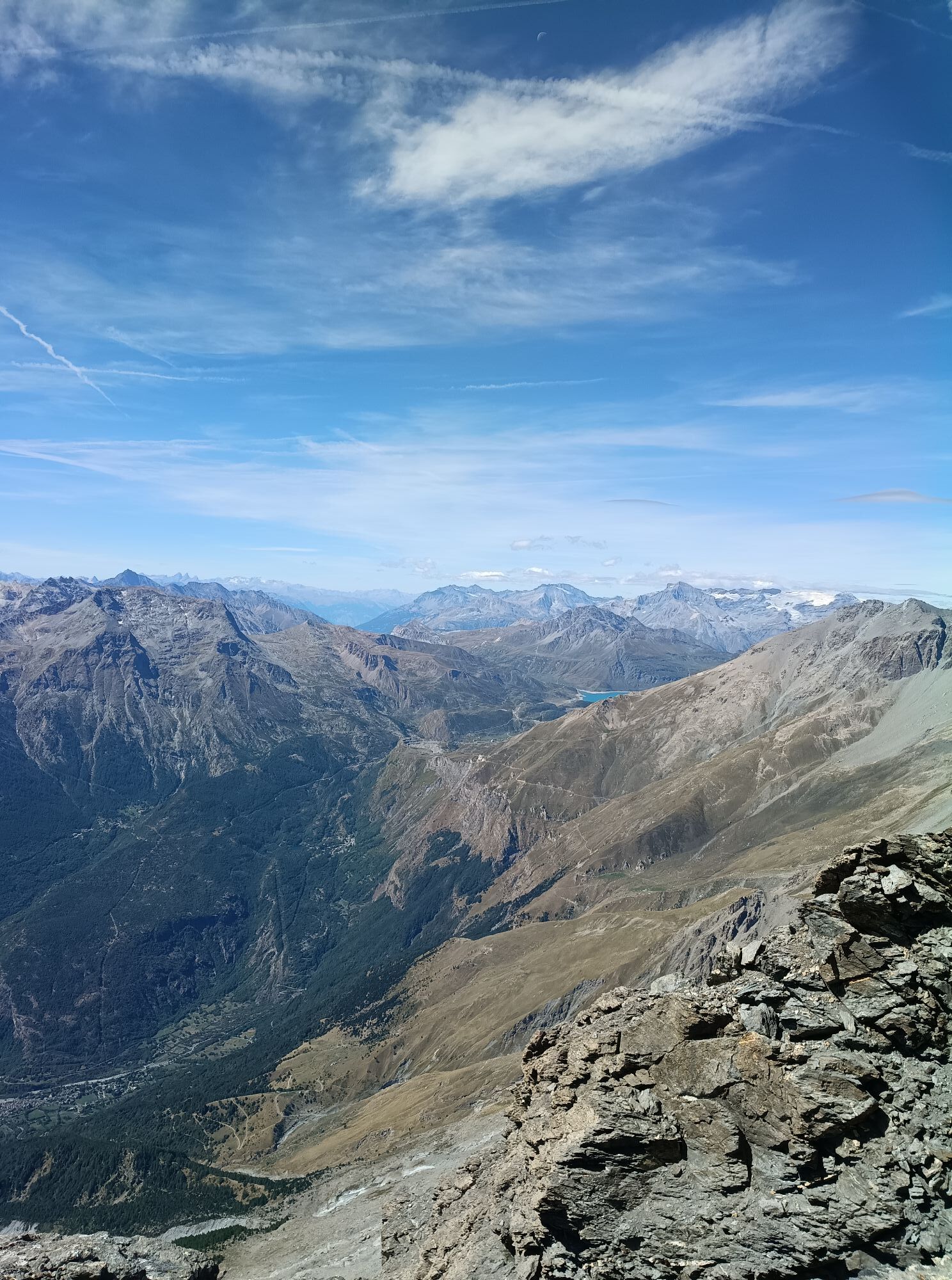
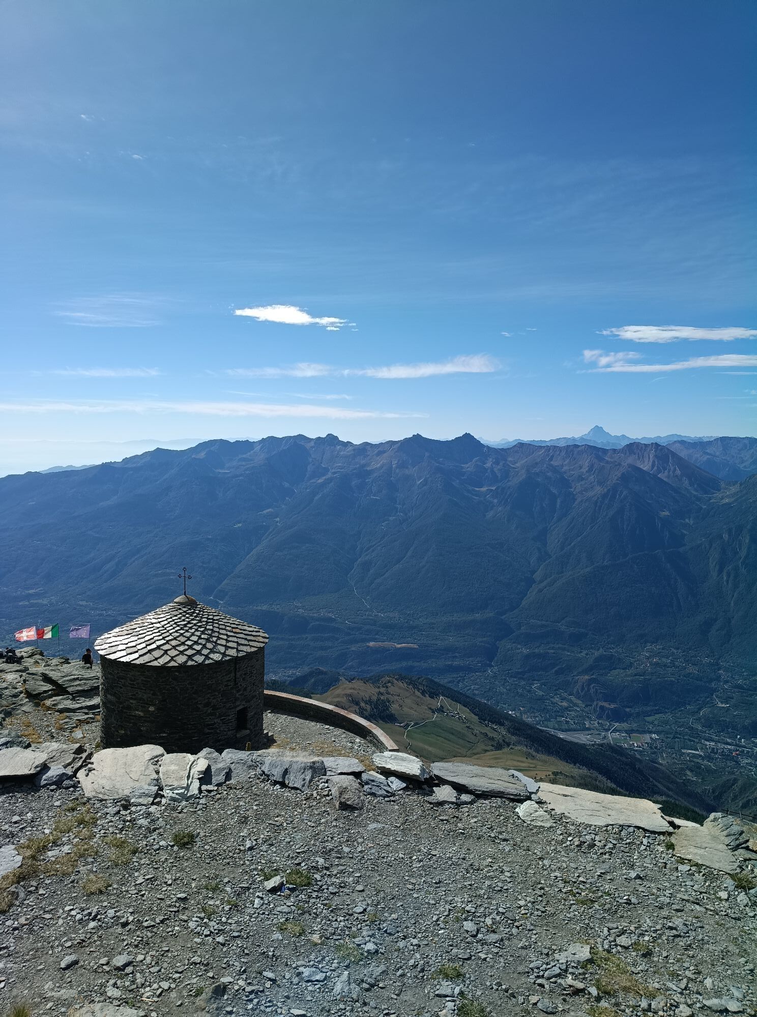
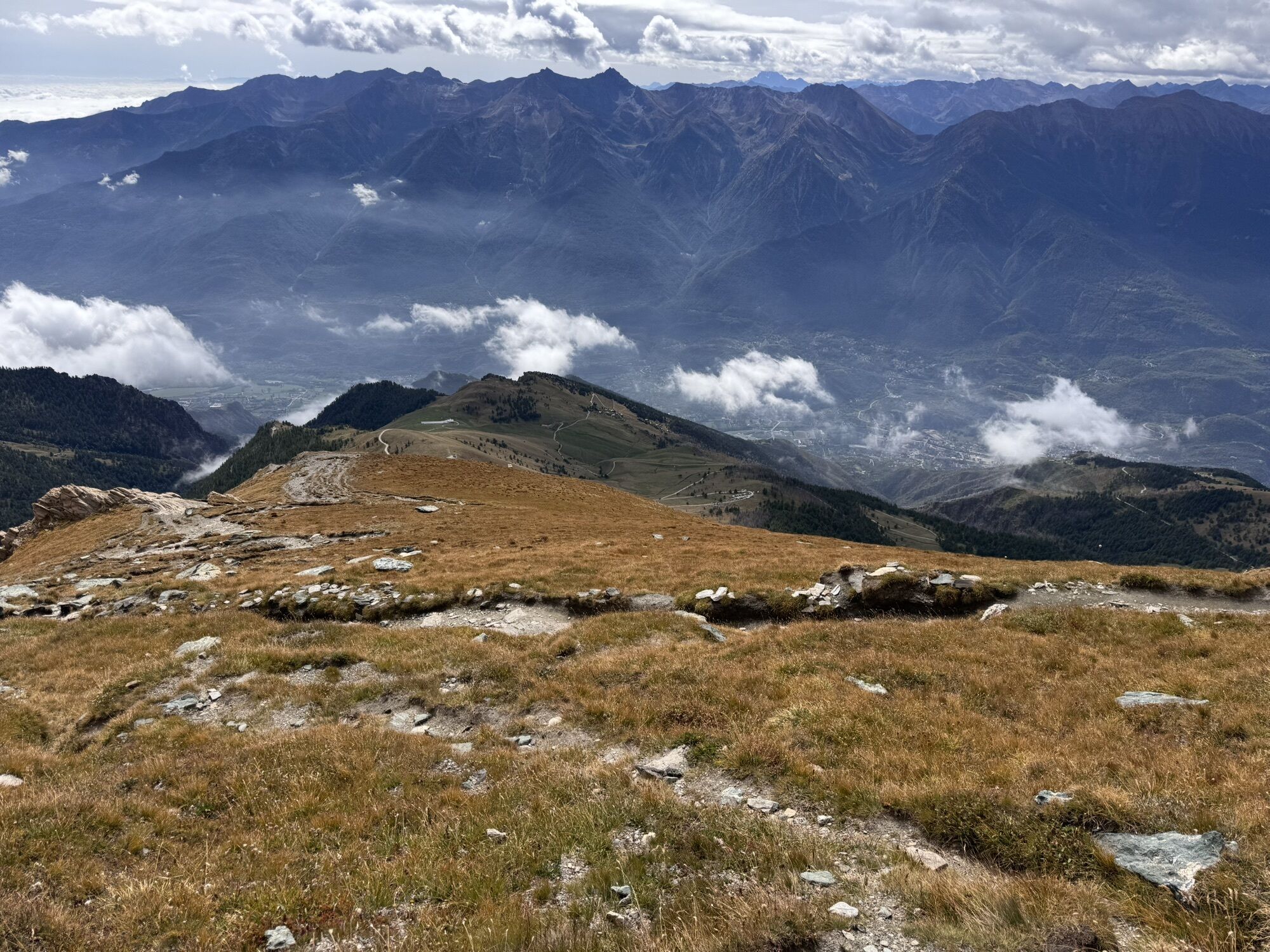
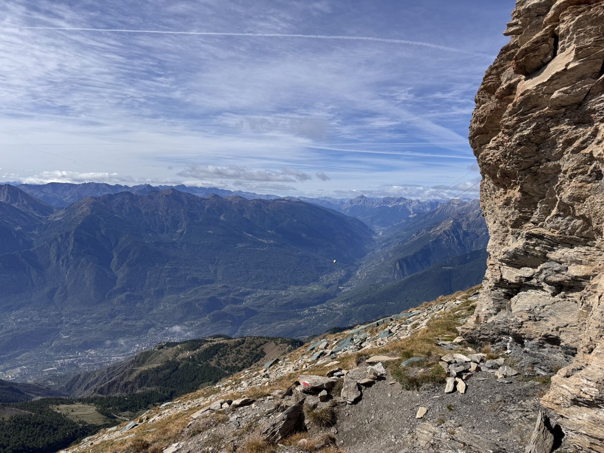
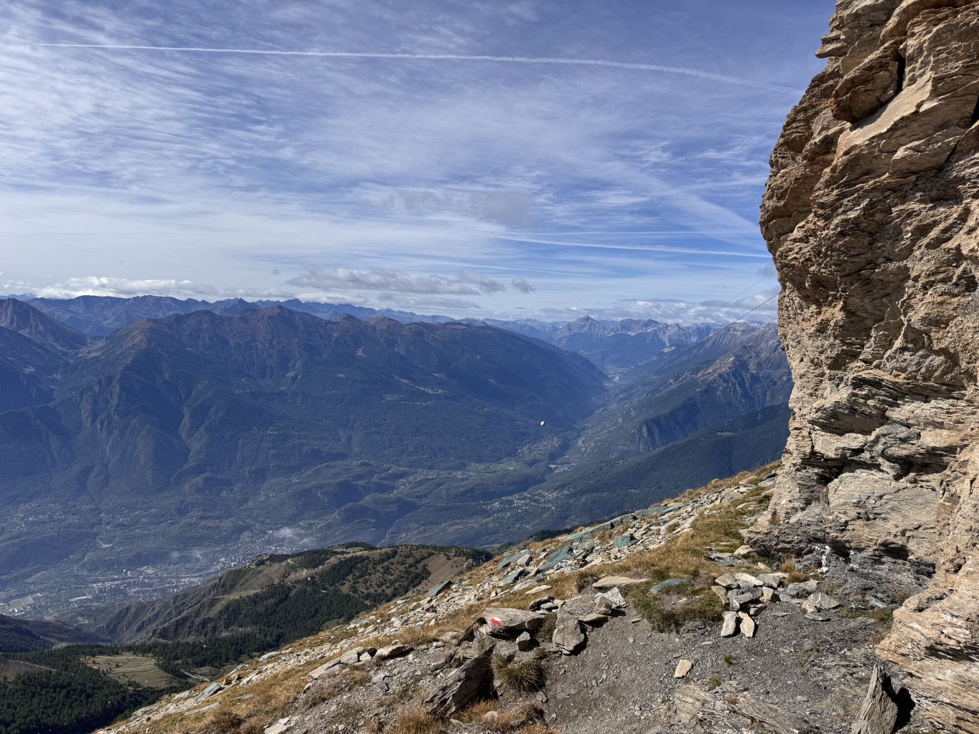
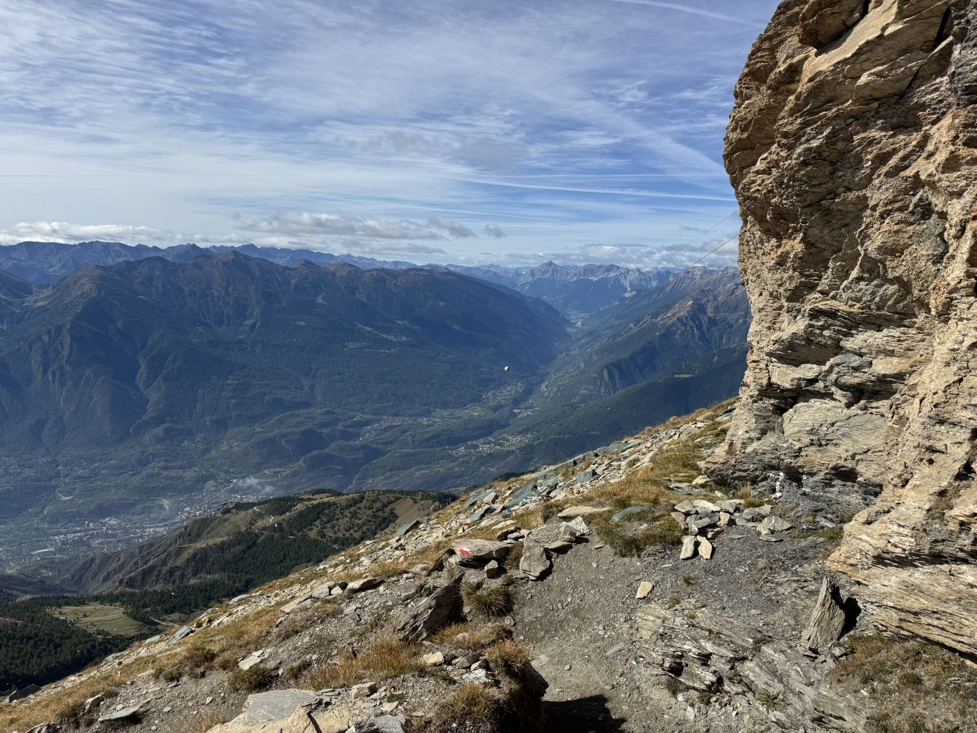
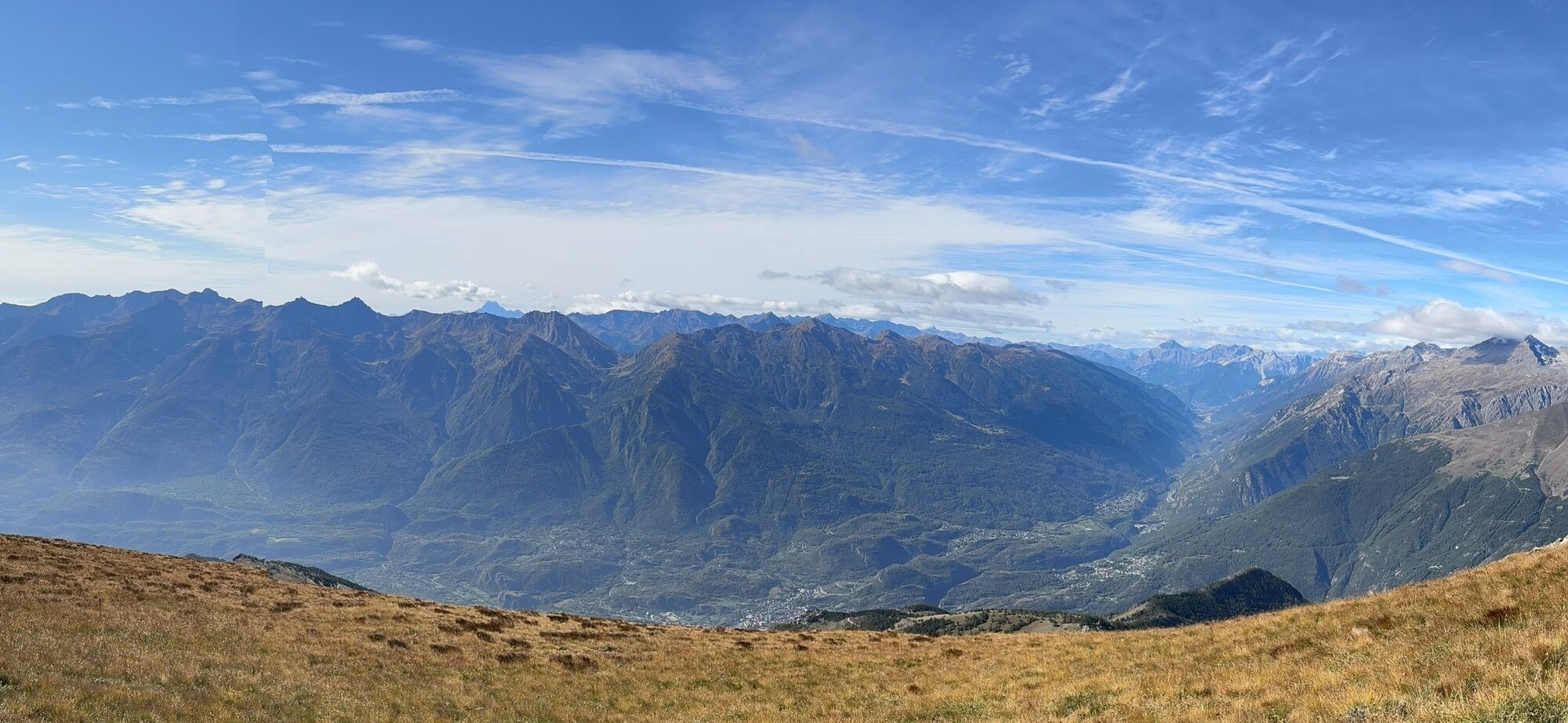
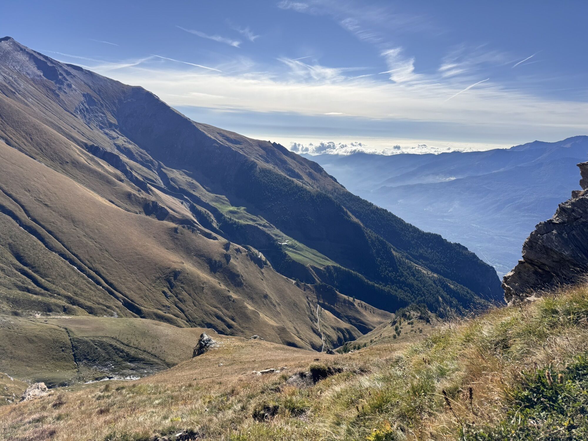
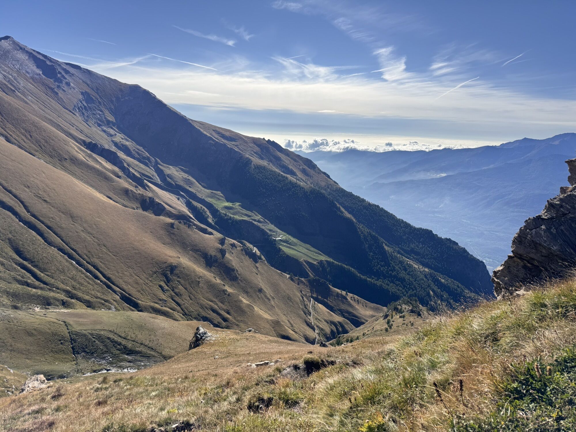
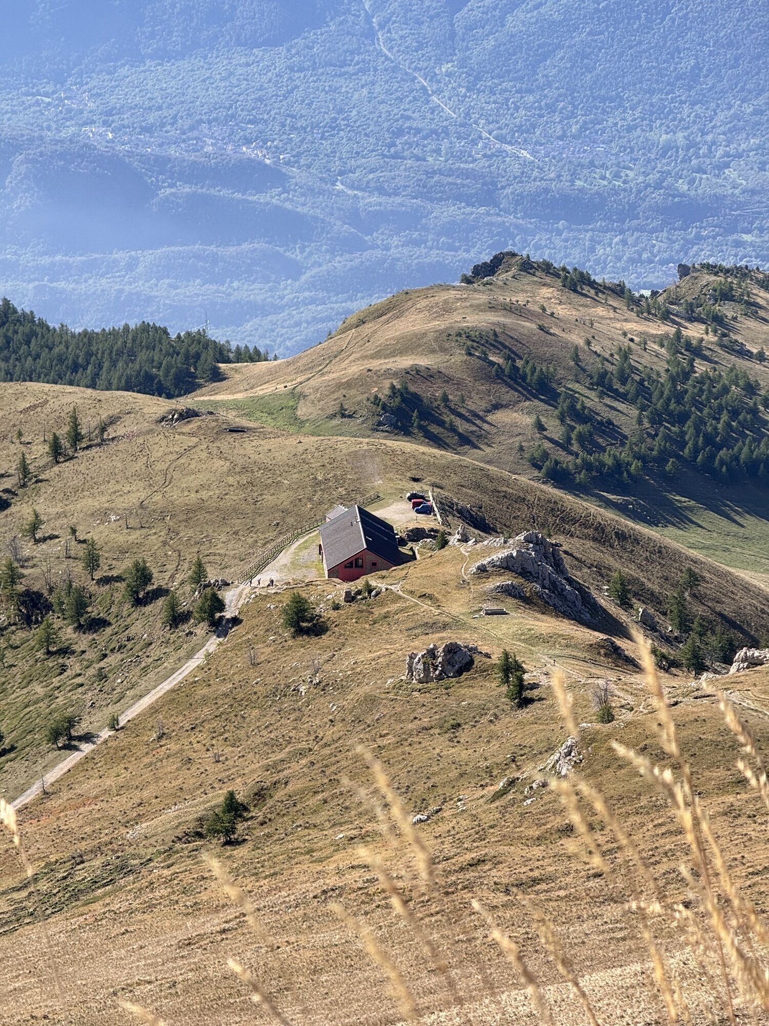
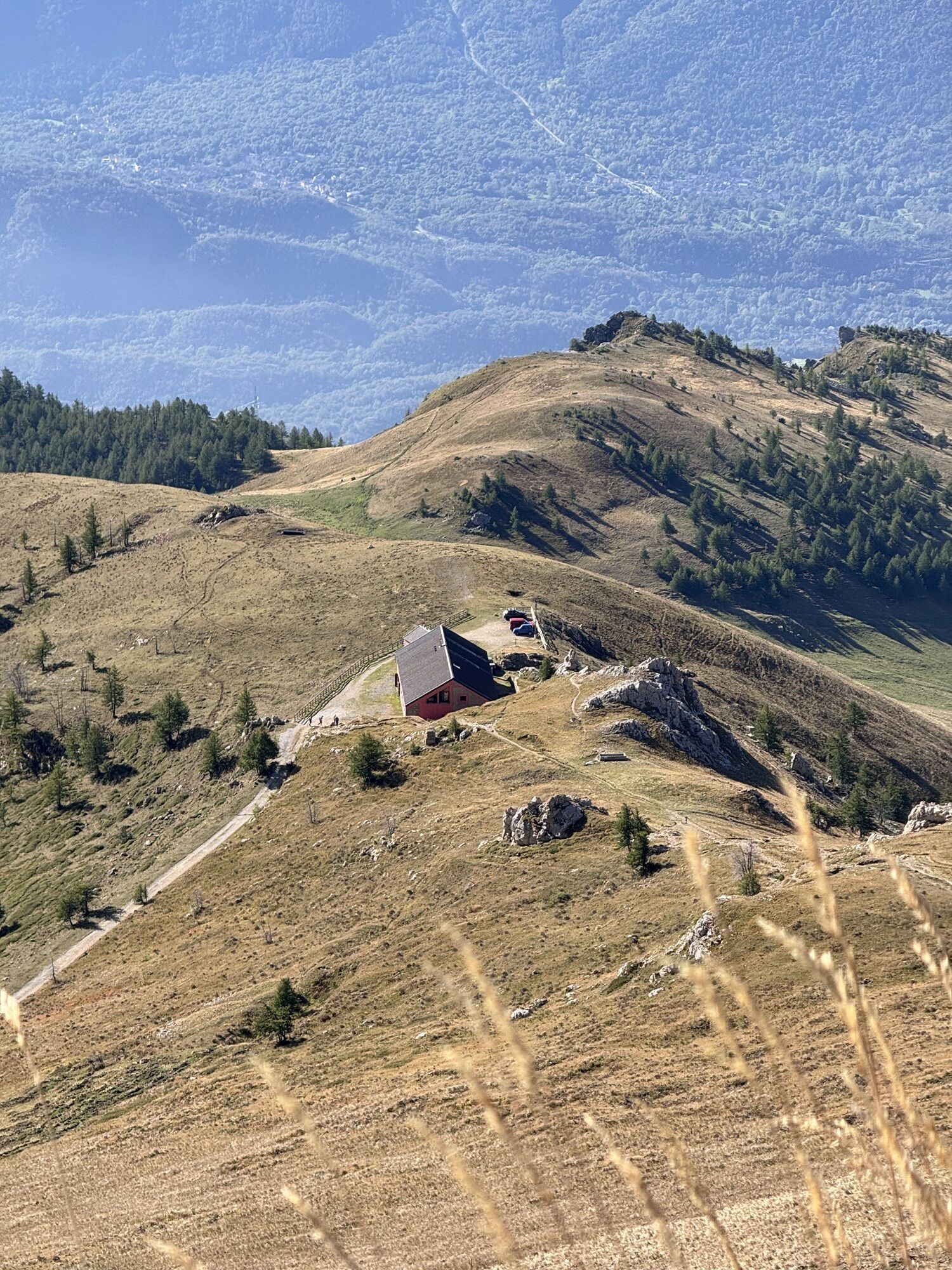
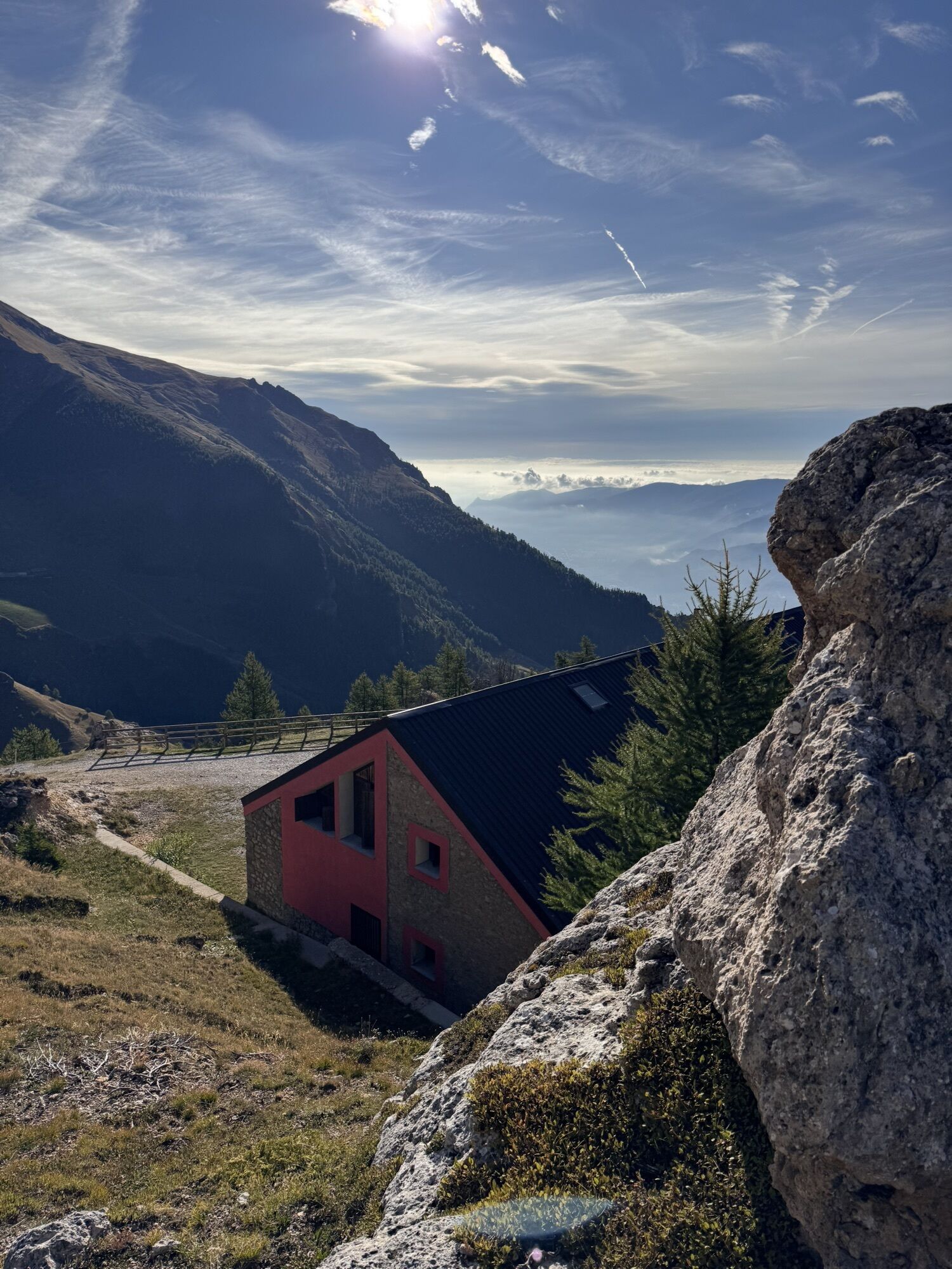
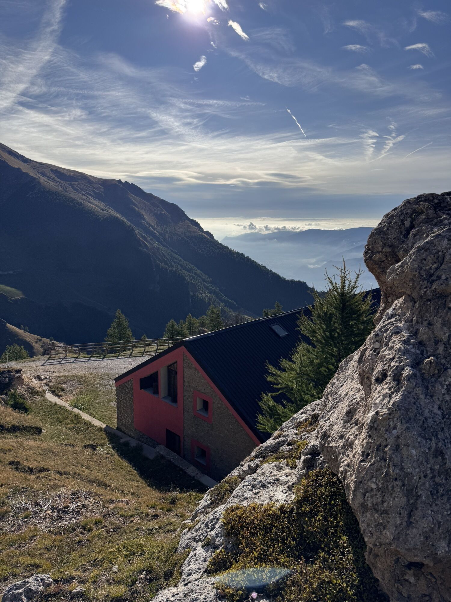
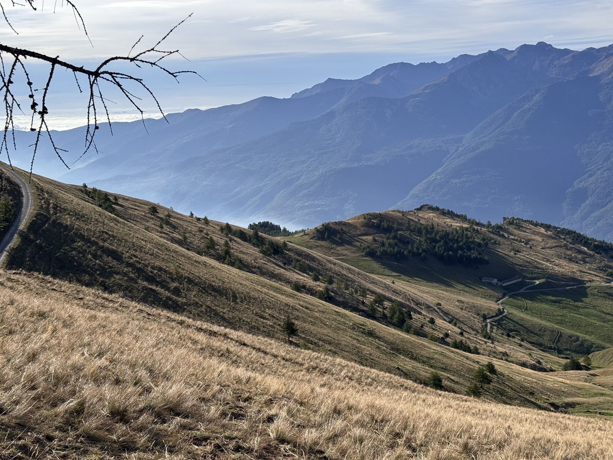
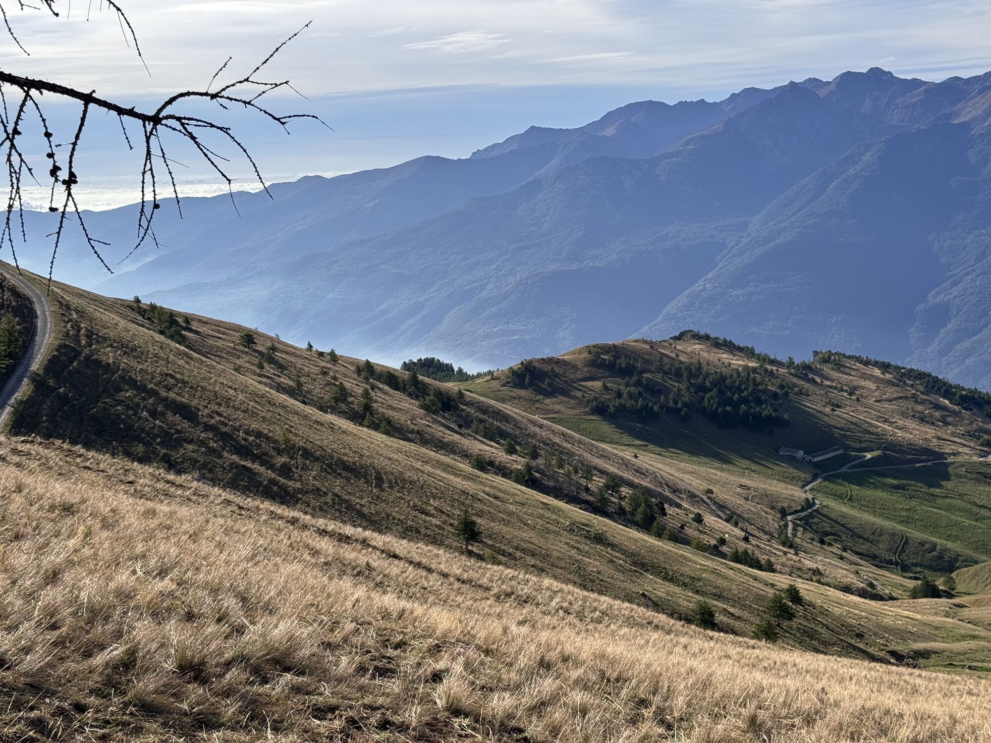
The walking route from the Susa tourist office goes along Corso L. Couvert towards Mompantero to the Sanctuary of Madonna del Rocciamelone, from where the trail starts.
The Pian Della Riposa hut allows...
The walking route from the Susa tourist office goes along Corso L. Couvert towards Mompantero to the Sanctuary of Madonna del Rocciamelone, from where the trail starts.
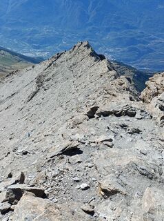
The Pian Della Riposa hut allows hikers to plan an approach by car the day before and leave at first light in full peace. The ascent from here takes about 4 to 4 and a half hours, following the well-marked trail leading to the Ca' d'Asti hut. You continue towards the Croce di Ferro locality. The most difficult section begins here, the trail passes narrowly between rocks but is equipped with ropes in the more complicated passages.
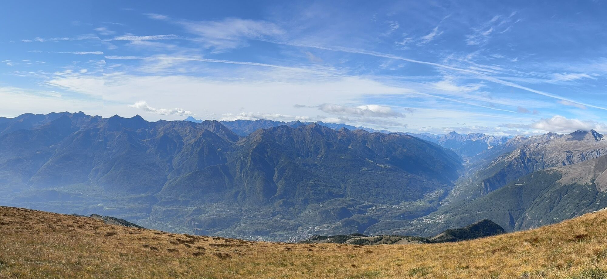
Once at the summit, you cannot help but be captivated by the panorama, a view extending to Monte Rosa and Monviso

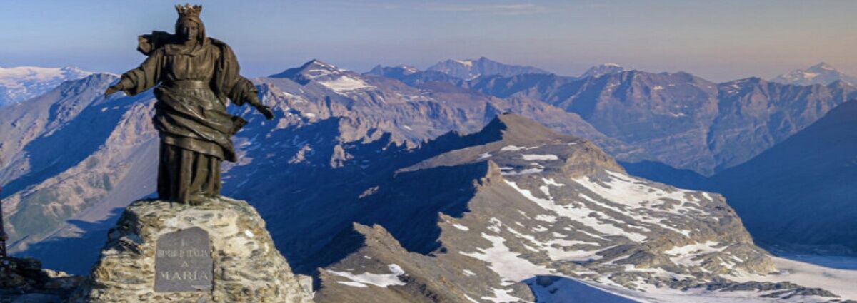

Arriving in Susa, follow the signs for Mompantero for the ascent on foot
Follow the signs for Urbiano/Pampalù/Rocciamelone for the car ascent up to Pian della Riposa
Mountain boots mandatory
Follow the marked route
Train line Turin/Susa
From Susa, Rocciamelone is reachable only on foot
Up to Pian della Riposa you can reach by car, but there is no public transport connection
Parking at Piazza Arsenio Favro (behind Susa train station)
T3
Bring water and chocolate bars or sugar cubes
Air changes at Croce di Ferro can cause problems; stop and wait before restarting
Do not attempt the ascent if untrained
Not recommended in bad weather or fog
Start from Pian della Riposa in the early morning hours




Priljubljeni izleti v okolici
- 4.5
Rocciamelone partedjo dalla Riposa. Mompantero, Piemont/Italien
srednjaPohodništvo 10.6 km - 4.5
Hiking at Lake Clair
težkoPohodništvo 6.99 km - 5.0
BALME Arnas Ring - Pian della Mussa
težkoPohodništvo 13.6 km USSEGLIO Lake Nero from Lake Malciaussia
svetlobaPohodništvo 4.79 km- 5.0
Alta Via delle Valli di Lanzo | Stage 4 Rifugio Citt di Ciri - Rifugio Cibrario
težkoPohodništvo 12.0 km - 4.7
High Way of the Lanzo Valleys | Stage 6 Tazzetti Refuge - Lake of Malciaussia
srednjaPohodništvo 5.49 km USSEGLIO Lake behind the Tower and of the Rossa
težkoPohodništvo 17.1 kmPRAGELATO Lake Laux
svetlobaMountainbike 21.2 kmHike from the Avérole refuge through the hamlet
srednjaPohodništvo 9.36 km- 5.0
Cima Quattro Denti (from Grange della Valle)
srednjaPohodništvo 5.30 km
Pohodništvo in sledenje


Ne zamudite ponudb in navdiha za naslednje počitnice
Vaš e-poštni naslov je bil dodan na poštni seznam.





