






SESTRIERE - Champlas du Col - Grange des Alpes
This is a short hike developed along a route that is almost entirely uphill. Starting from the alpine village of Champlas du Col (1780 m) you ascend to Grange des Alpes in the Monterotta area (2100 m)....
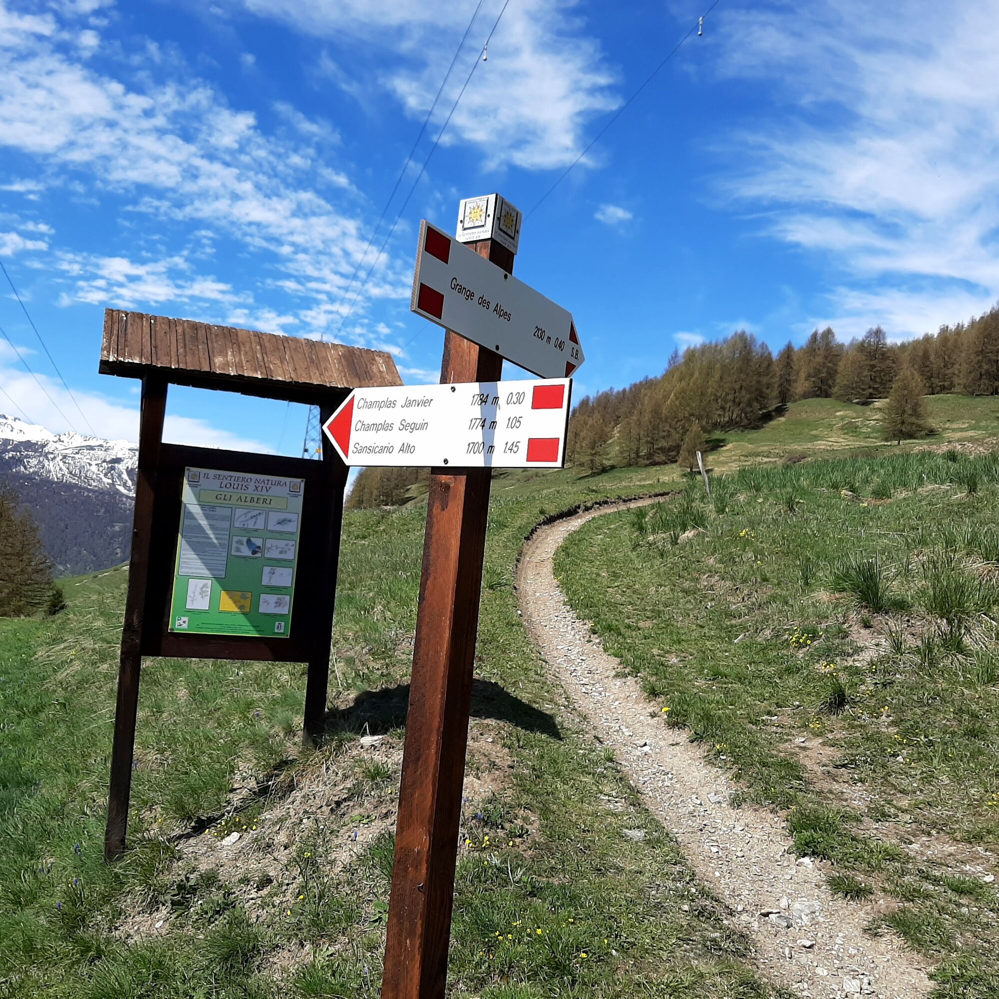
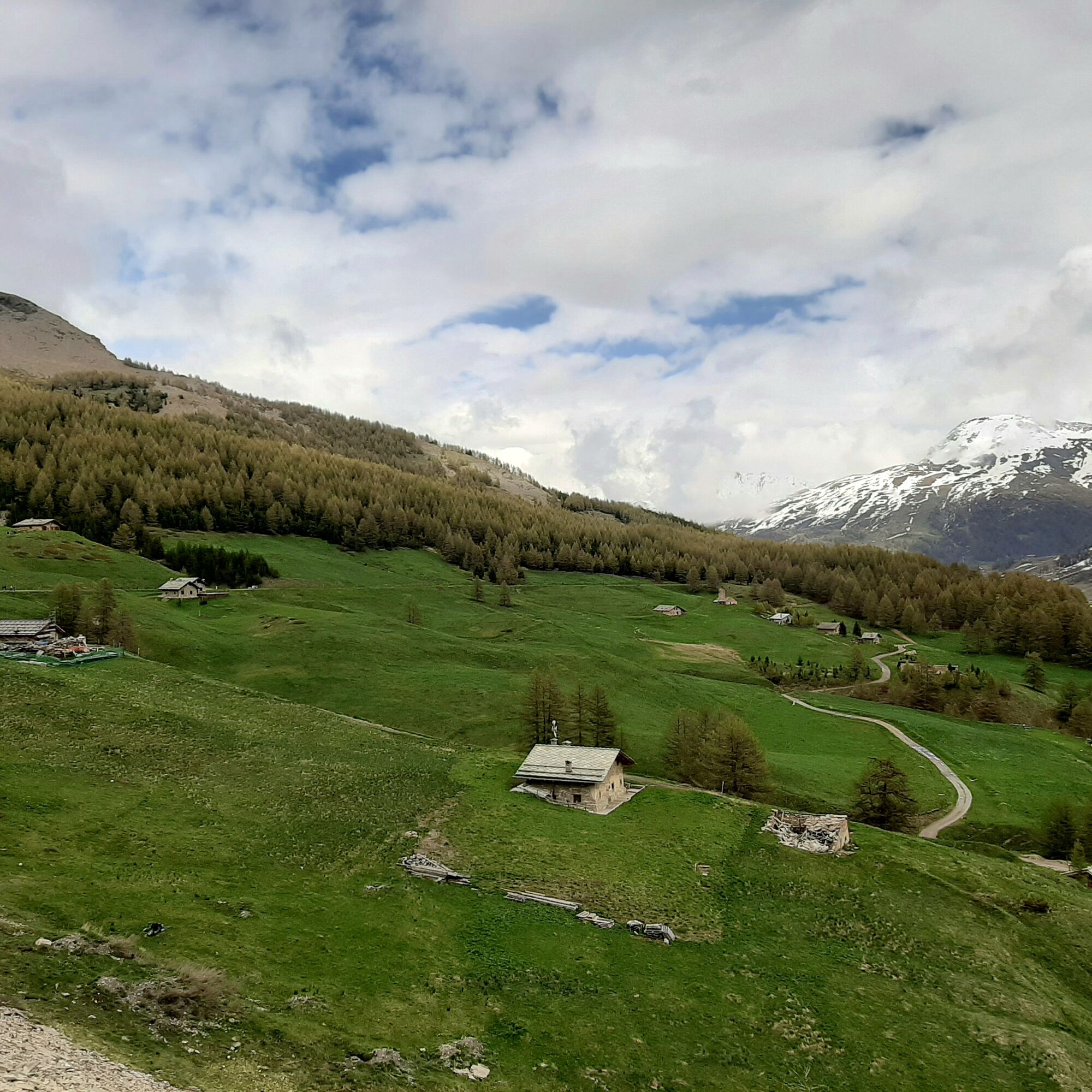
This is a short hike developed along a route that is almost entirely uphill. Starting from the alpine village of Champlas du Col (1780 m) you ascend to Grange des Alpes in the Monterotta area (2100 m). The exposure is on the south side and you enjoy a splendid view of the peaks that form the watershed between the Argentera and Thuras valleys, up to the border mountains with nearby France. The hike begins along a narrow dirt road immersed in pastures, crosses the Louis XIV nature trail, and continues until reaching the forest where the slope decreases. Then you cross the Gros Bial trail at a stream, cross it and continue following a small path that, climbing through meadows, will reach the dirt road coming from the left from the Les Chalmettes area; then follow this road that crosses the entire Monterotta plateau to reach Grange des Alpes. You may see and hear the cry of numerous marmots that inhabit the area (in the cooler hours of the day) and many cows grazing.
Support and technical description by Simona Matheoud - Environmental hiking guide


Wear clothing and footwear suitable for the mountain environment;
Evaluate the choice of itinerary in advance using appropriate topographic maps;
Choose routes based on your technical and physical abilities and the available equipment;
Consult alpine guides and naturalistic guides;
Check weather bulletins and free apps;
Do not undertake the hike alone or communicate your planned route to a trusted person.
Also remember that the indicated travel times for various itineraries are average and indicative and may vary considerably depending on weather conditions and your abilities; the variability of environmental conditions can significantly reduce the level of safety.
In case of significant danger, it is not advisable to undertake any hiking.
A32 Torino-Bardonecchia highway, exit Oulx, follow signs to Sestriere, or reach Pinerolo and follow Sp23R to Champlas du Col.
Always carry water, snacks, sunscreen, cap, protective sunglasses, trash bag, container for cigarette butts;
keep your distance, do not try to pet or approach shepherd dogs protecting the flocks;
do not disturb wildlife and do not pick flowers and plants;
always keep your dog on a leash;
do not litter but carry your rubbish with you, also possibly collect rubbish left by others;
respect private properties and fenced areas.
Pridobite vpogled
Vedno v živo na mestu z več kot 9.500 spletnimi kamerami. bergfex Kot uporabnik Pro si lahko zdaj ogledate ustrezne spletne kamere za številne izlete v aplikaciji izleti iz. Tako si lahko neposredno ogledate trenutne razmere.
Priljubljeni izleti v okolici
-
5.0
SESTRIERE Monte Rognosa
težkoPohodništvo 6.42 km -
BARDONECCHIA - Loop Colle della Scala - Col de Montgenèvre - Colle del Sestriere
težkoCestno kolo 91.9 km -
5.0
CESANA T.SE Cesana - Fenils
svetlobaPohodništvo 4.60 km -
5.0
CESANA T.SE Thures - Cima Bosco
težkoSnežni čevlji 3.94 km -
CESANA T.SE Lago Nero - Seven Colors Lake
srednjaPohodništvo 3.51 km -
SAUZE D'OULX Richardette - Montagne Seu )
srednjaMountainbike 19.9 km -
OULX Borgata Seu (Gran Bosco Natural Park)
svetlobaSnežni čevlji 5.93 km -
PRAGELATO Colle dell'Assietta
težkoMountainbike 53.3 km -
CESANA T.SE Val Thuras
srednjaPohodništvo 7.58 km -
CESANA T.SE The Lakes Route
srednjaPohodništvo 10.2 km

Pohodništvo in sledenje


Ne zamudite ponudb in navdiha za naslednje počitnice
Vaš e-poštni naslov je bil dodan na poštni seznam.





