







ANGROGNA Winged People’s Trail
The itinerary starts on the paved road with a slight descent reaching the Coisson and Ricca hamlets. From here, you take a forest track that, through woods, meadows, and dry stone walls, leads to the Cacet...
The itinerary starts on the paved road with a slight descent reaching the Coisson and Ricca hamlets. From here, you take a forest track that, through woods, meadows, and dry stone walls, leads to the Cacet hamlet (with a fountain). From Cacet, another forest track climbs to cross a wide dirt road (coming from Buonanotte) and reaches the Rivoira hamlet (Arvura 1030 m.).
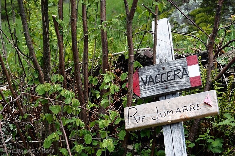
The trail continues uphill among houses, and on the left at a spring, you rejoin the trail (wooden sign to Jumarre Refuge) that climbs among beeches and birches up to an old farmhouse with a large dry stone fountain.
Here you can choose between 2 ascent options to the Jumarre Refuge: a steeper one to see the Great Beech and a less steep one offering views of the valley and the chance to walk among old huts.
Option 1: taking the steeper trail (the one on the right) you will soon reach a clearing dominated by the “Great Beech”, a majestic centuries-old tree
surrounded by birches and rowans. Looking up, you can already see the Jumarre Refuge slightly above, and to reach it, just follow the white and red marked trail climbing steeply along the high voltage pylons until you meet a forest road that shortly leads to the paved road and the Jumarre Refuge.
Option 2: if you prefer a less steep route, take the left trail bordered by a beautiful dry stone wall to reach some stone and wood houses among birch groves and springs. Upon reaching the wooden sign “Monte Servin – Jumarre Refuge”, take the uphill trail and shortly arrive at the Jumarre Refuge.
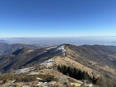
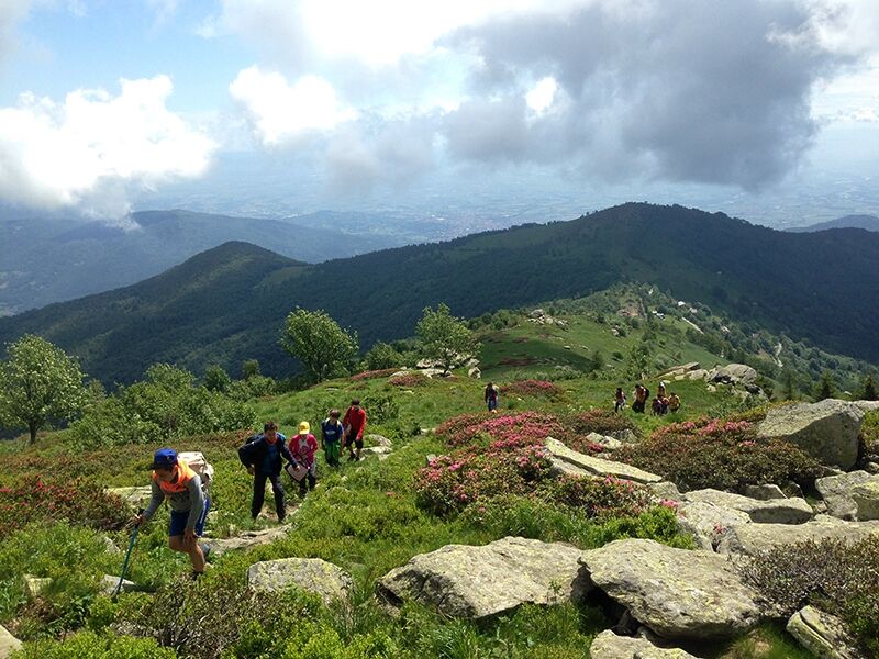
From the Refuge courtyard, take the flat dirt road beside the yurt (the white tent). Upon arriving at the hairpin bend of the paved road, take the uphill trail that leads in about an hour to the summit of Monte Servin (1756 m).


Da
Appropriate clothing and equipment are recommended.
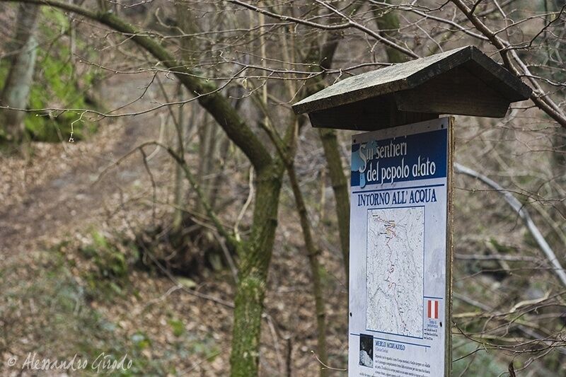
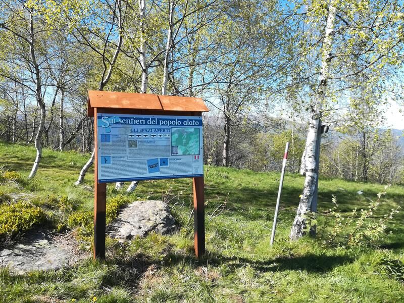
The path is marked with white and red trail markers, some signs, and informational boards.
Follow the A55 towards Pinerolo if coming from Turin. Near Pinerolo, follow signs for Val Pellice and then for Angrogna.
There are free public parking areas near the Serre hamlet.
Before undertaking any hike, it is advisable to check weather bulletins or request information at local Tourist Offices.
It is good practice not to hike alone and always inform someone of your destination.
Do not litter the environment; carry your waste and possibly collect any left by others.
The indicated travel times are approximate and may vary depending on weather conditions and your abilities.
Cyclability:
Priljubljeni izleti v okolici
- 5.0
Invincibles valley - Alpe Caugis
Pohodništvo 15.3 km - 5.0
BOBBIO PELLICE: Hike to the Barbara Lowrie Mountain Hut
težkoCestno kolo 9.19 km BRICHERASIO The Via della Pietra
svetlobaKolesarjenje na dolge razdalje 11.5 kmPINEROLO Route to Monte Muretto
srednjaPohodništvo 2.12 kmBOBBIO PELICE Trekking in the hamlets and forests around Bobbio
srednjaPohodništvo 7.72 kmTORRE PELLICE Naturalistic trail "The Jay"
svetlobaPohodništvo 10.2 kmPRAROSTINO From Piani to Sonagliette and back - SLOWLY TOGETHER
svetlobaPohodništvo 6.60 kmTORRE PELLICE The Shepherds' Way
svetlobaMountainbike 11.0 kmThe Fort Roads - stage 11 from Massello to Prali
težkoRomarska pot 13.7 kmVILLAR PELLICE Inverso path
svetlobaPohodništvo 5.62 km

Pohodništvo in sledenje


Ne zamudite ponudb in navdiha za naslednje počitnice
Vaš e-poštni naslov je bil dodan na poštni seznam.





