


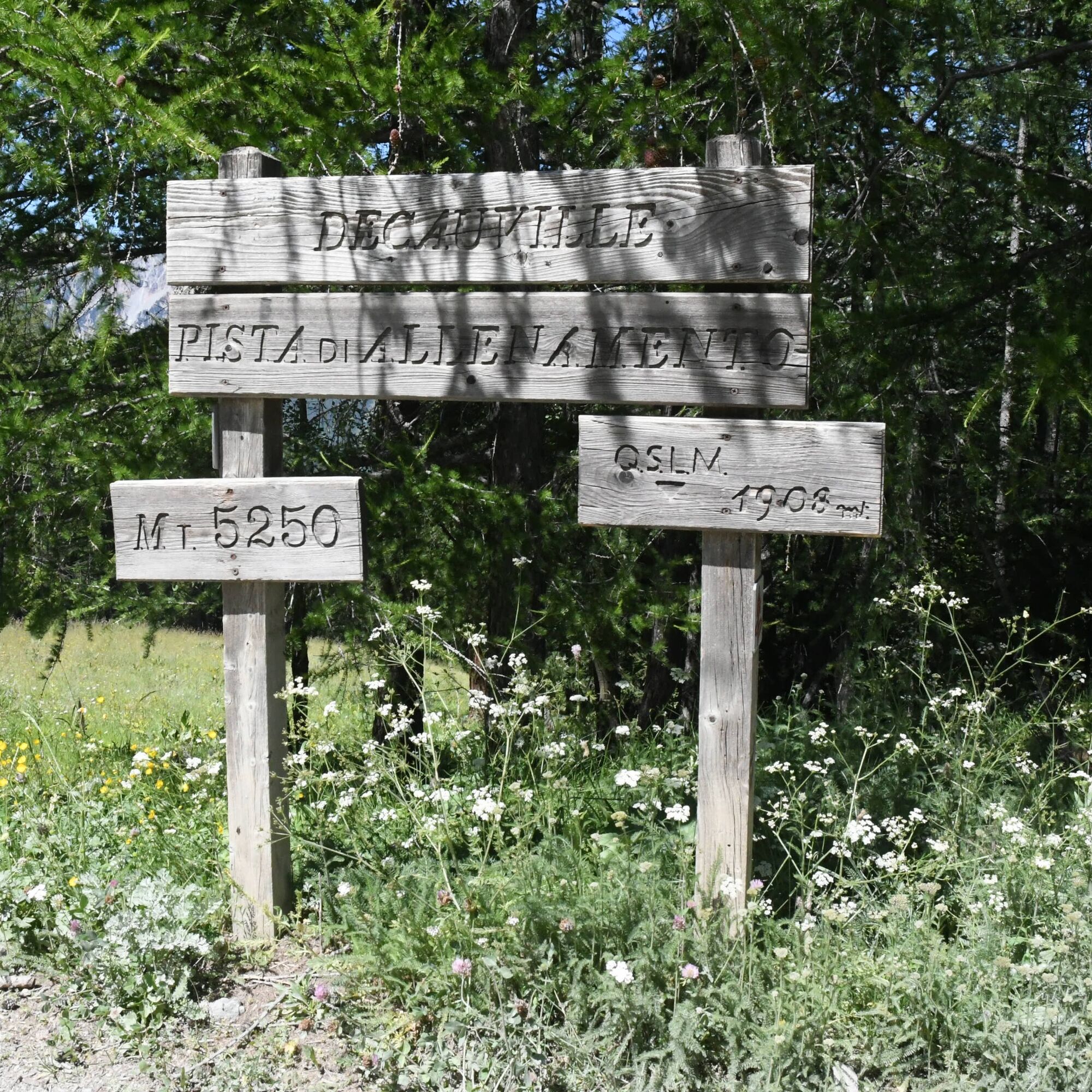
BARDONECCHIA Decauville
Stopnja težavnosti: T1


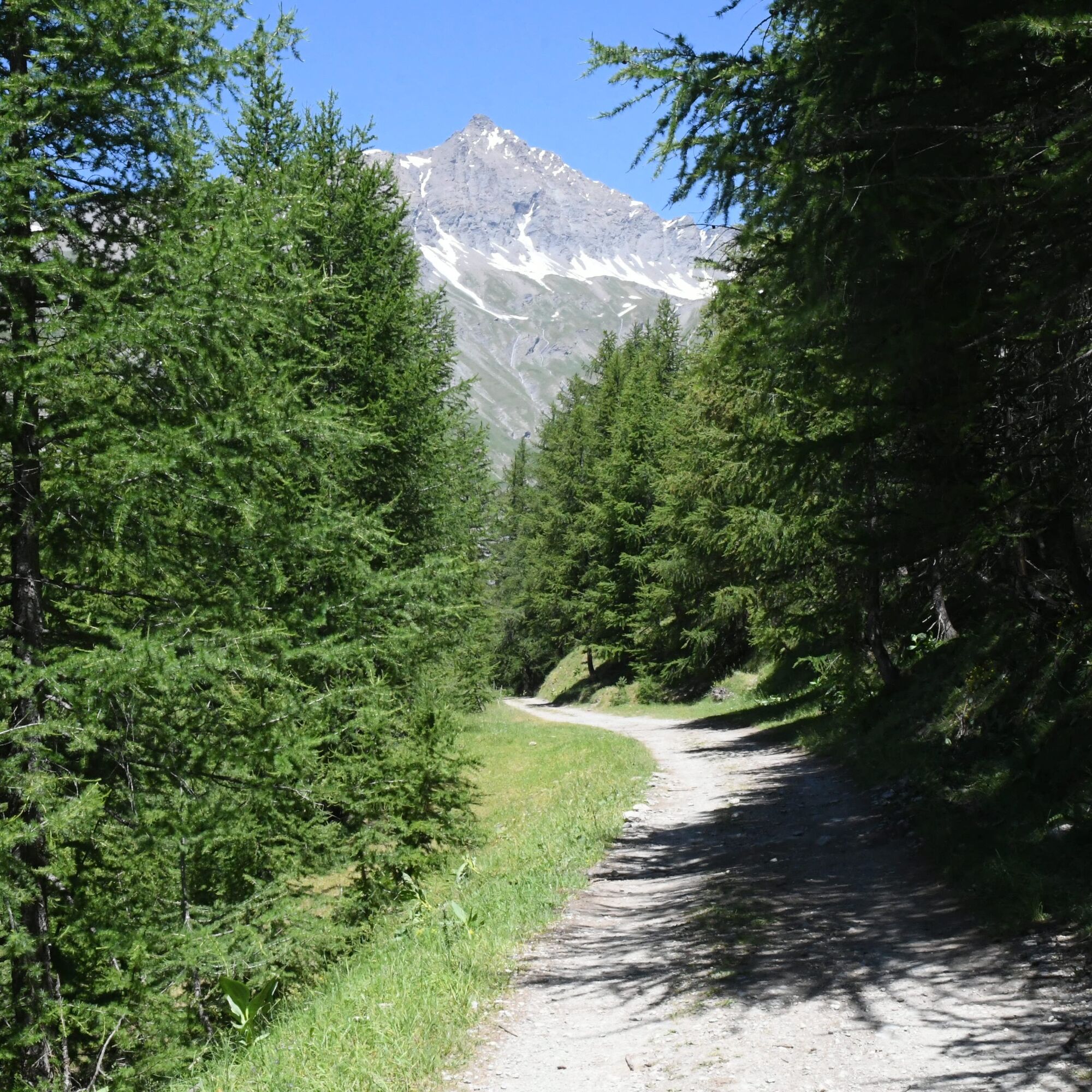
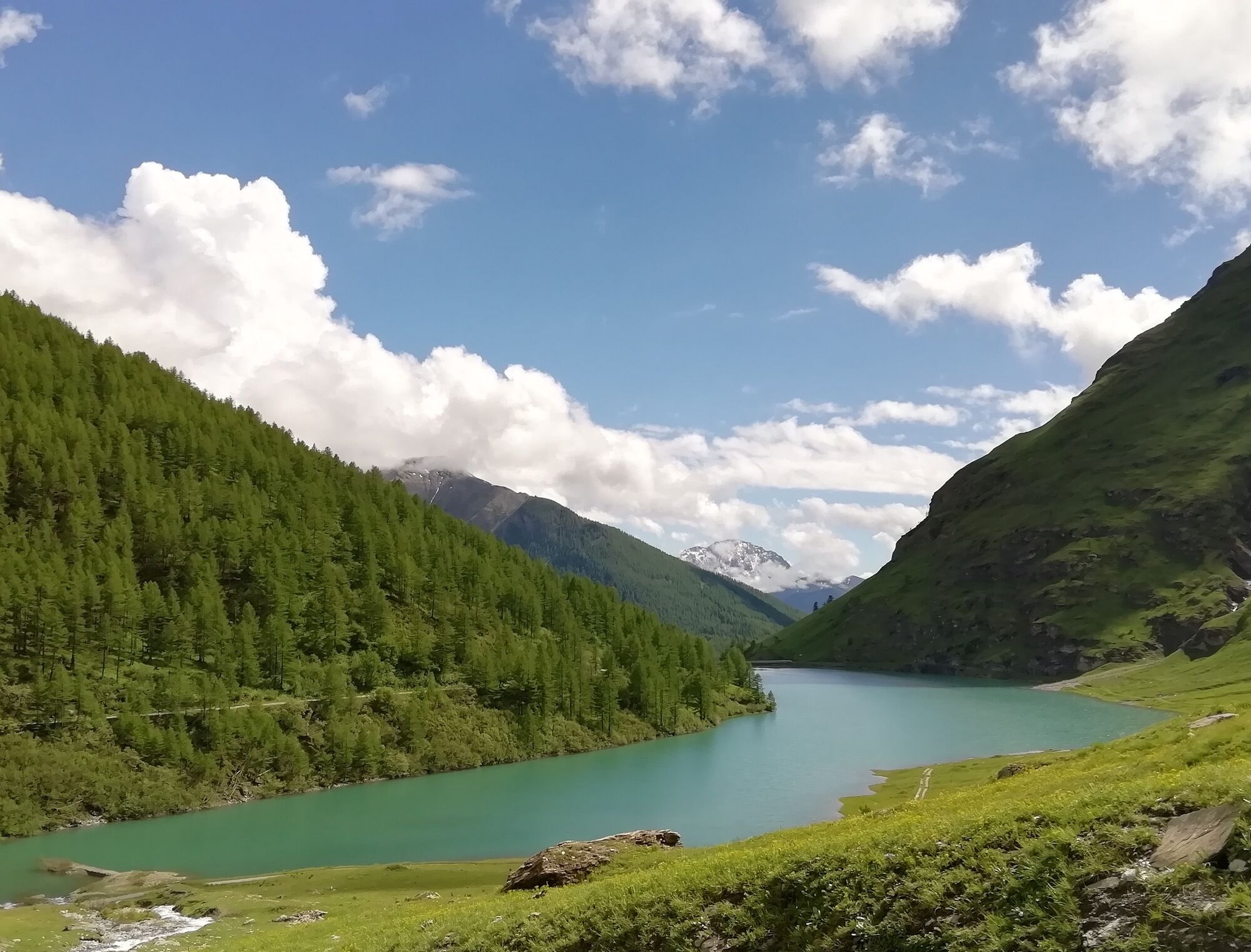
The route runs along the historic Decauville railway which from the Bacini Frejusia led to the Rochemolles Dam. The track is completely flat and for the first 5.5 km runs through a conifer forest. After...
The route runs along the historic Decauville railway which from the Bacini Frejusia led to the Rochemolles Dam. The track is completely flat and for the first 5.5 km runs through a conifer forest. After crossing the dirt road that rises from the hamlet of Rochemolles the vegetation thins out, the path narrows and crosses the Rio Almiane and a small tunnel then climbs with some small hairpins to the Dam.
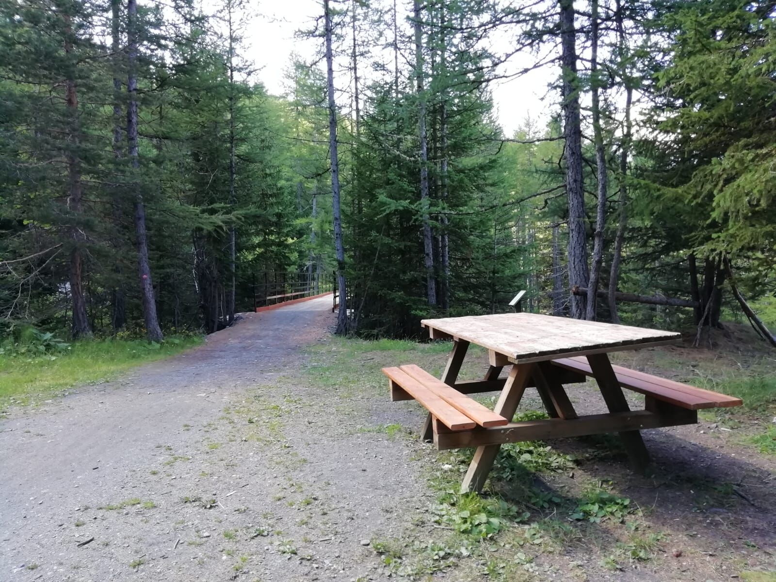
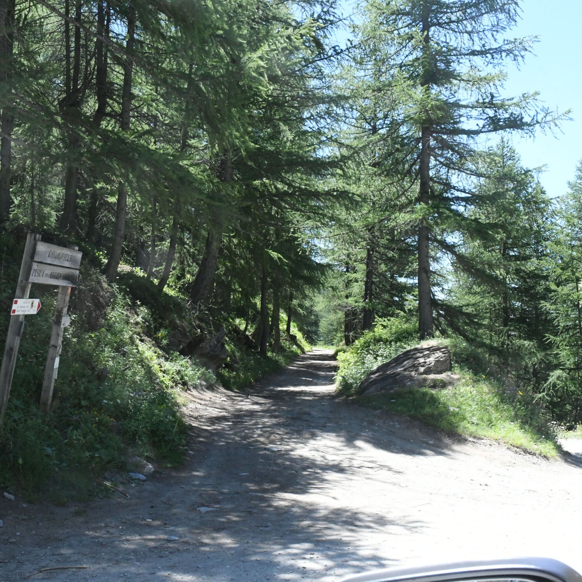
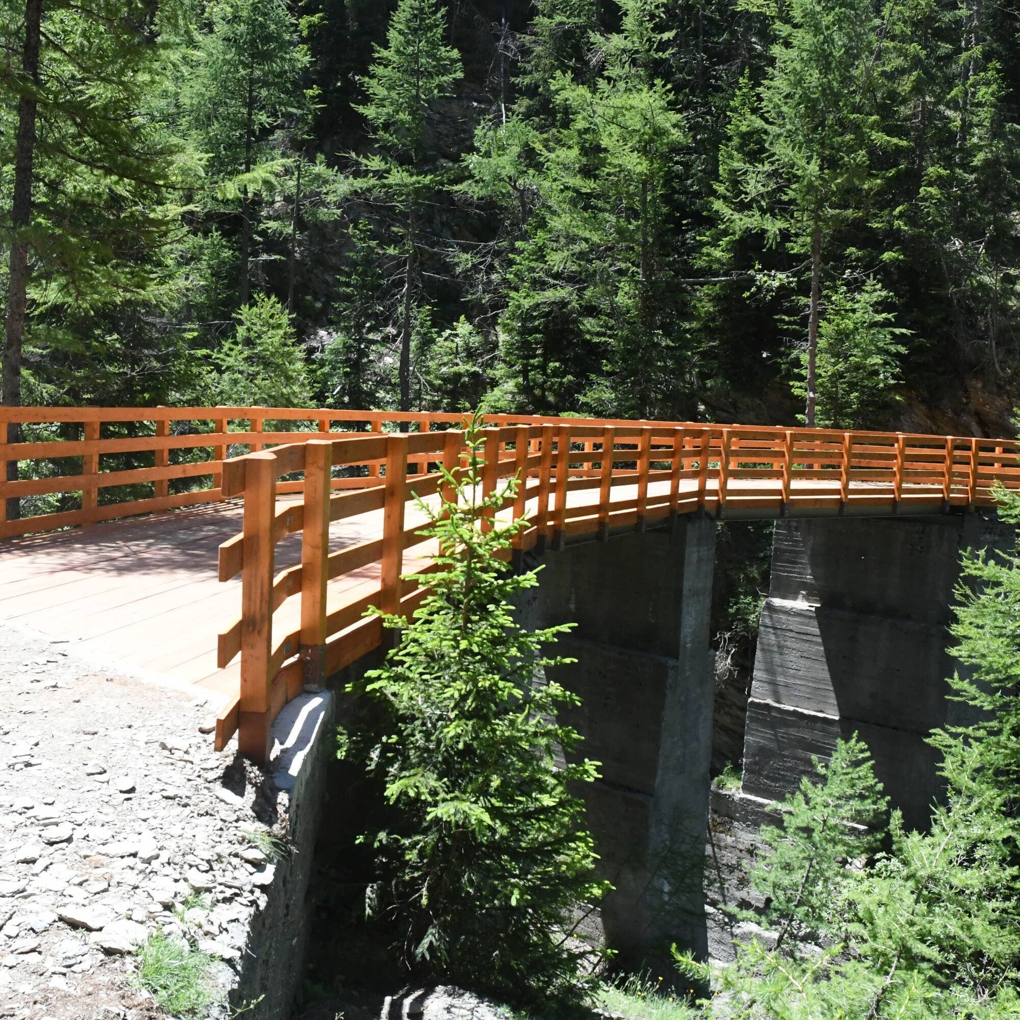
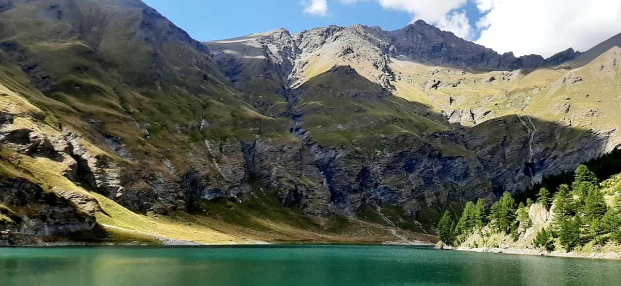
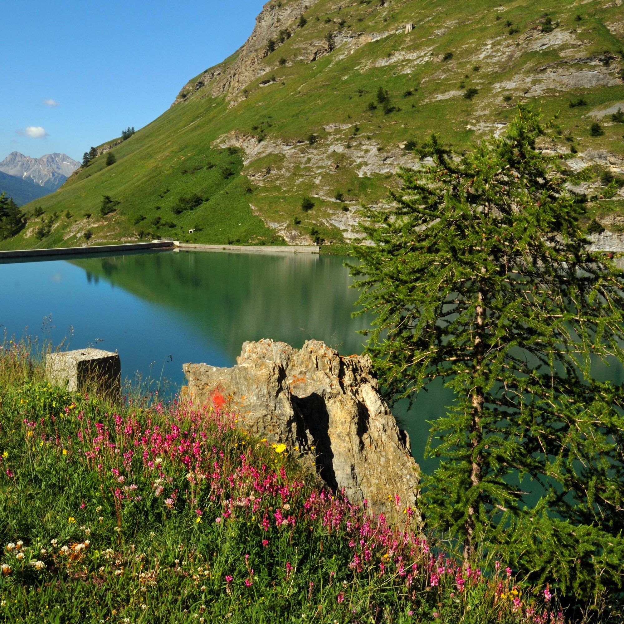
From Bardonecchia, reach by car the Bacini Frejusia parking lot, at the end of which the Decauville starts. Follow it up to the Alpeggio Beatrix and cross the characteristic U-shaped bridge over the Rio Valfredda. Cross the carriageable road and the Rio Almiane (beware in periods of high water) then pass through a small tunnel carved into the rock and climb with some small hairpins to the Dam.
Da
Trekking shoes
In periods of high water pay attention when crossing the Rio Almiane
By car:
- A32 Motorway Torino - Bardonecchia, Bardonecchia exit
- State Road 24: Torino - Oulx and then State Road 335: Oulx - Bardonecchia
Once you reach Bardonecchia, head towards the hamlets of Millaures and Le Gleise, pass them and reach Bacini Frejusia (7 km).
By train:
- line Torino Porta Nuova - Bardonecchia
Once you reach Bardonecchia, in summer, from Via Torino (100 m from the train station) take the free shuttle of Line 7 to the Jafferau square from where the Cable Car departs.
To check the shuttle timetables click here.
From Jafferau square take the Frejusia Cable Car that goes to Bacini Frejusia.
To know the cable car opening times click here.
WARNING: in summer the shuttle and the cable car operate only for about one month around July and August
At Bacini Frejusia there is a large dirt clearing.
T1
Buy some dairy products at the Alpeggio Beatrix.
To learn about the history of the Decauville click here
Priljubljeni izleti v okolici
-
5.0
BARDONECCHIA Colle Sommeiller
srednjaMountainbike 25.4 km -
5.0
BARDONECCHIA Col des Acles - Passo della Mulattiera
težkoPohodništvo 6.57 km -
5.0
BARDONECCHIA Lago Verde
srednjaPohodništvo 4.14 km -
4.5
BARDONECCHIA Walter Bonatti Path - Grange della Rho
srednjaPohodništvo 6.12 km -
5.0
BARDONECCHIA Forte Jafferau Loop
težkoMountainbike 36.8 km -
BARDONECCHIA Punta Quattro Sorelle
težkoPohodništvo 8.69 km -
BARDONECCHIA Loop Punta Colomion - Passo della Mulattiera - Pian del Colle
težkoMountainbike 25.1 km -
BARDONECCHIA Monte Thabor
težkoPohodništvo 8.82 km -
BARDONECCHIA Rocce della Sueur - Tour jaune de Barabbas
srednjaPohodništvo 4.12 km -
BARDONECCHIA Loop Colle della Rho - Col de la Replanette - Colle di Valle Stretta
težkoMountainbike 32.8 km
Pohodništvo in sledenje


Ne zamudite ponudb in navdiha za naslednje počitnice
Vaš e-poštni naslov je bil dodan na poštni seznam.