







Lou Viage: Tappa 12 Bagni di Vinadio - Sant’Anna di Vinadio
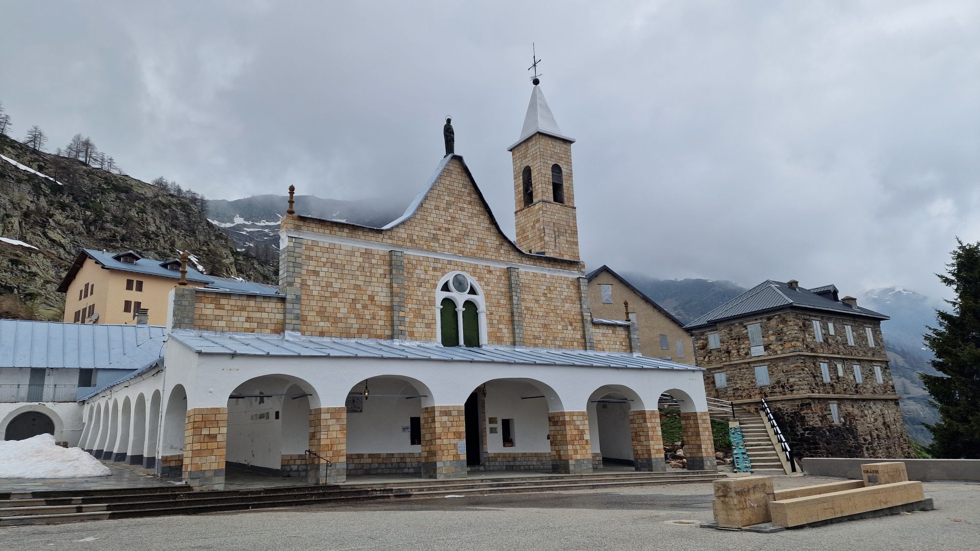
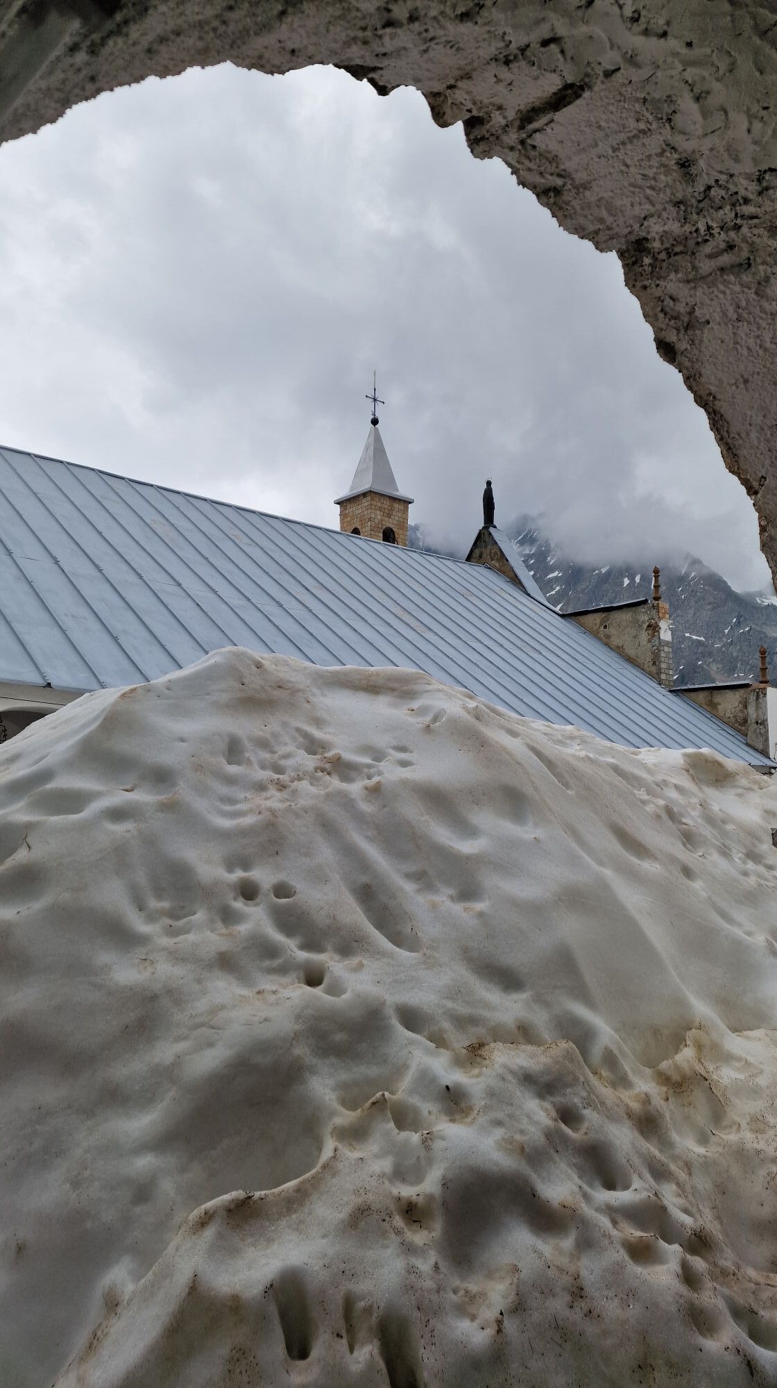
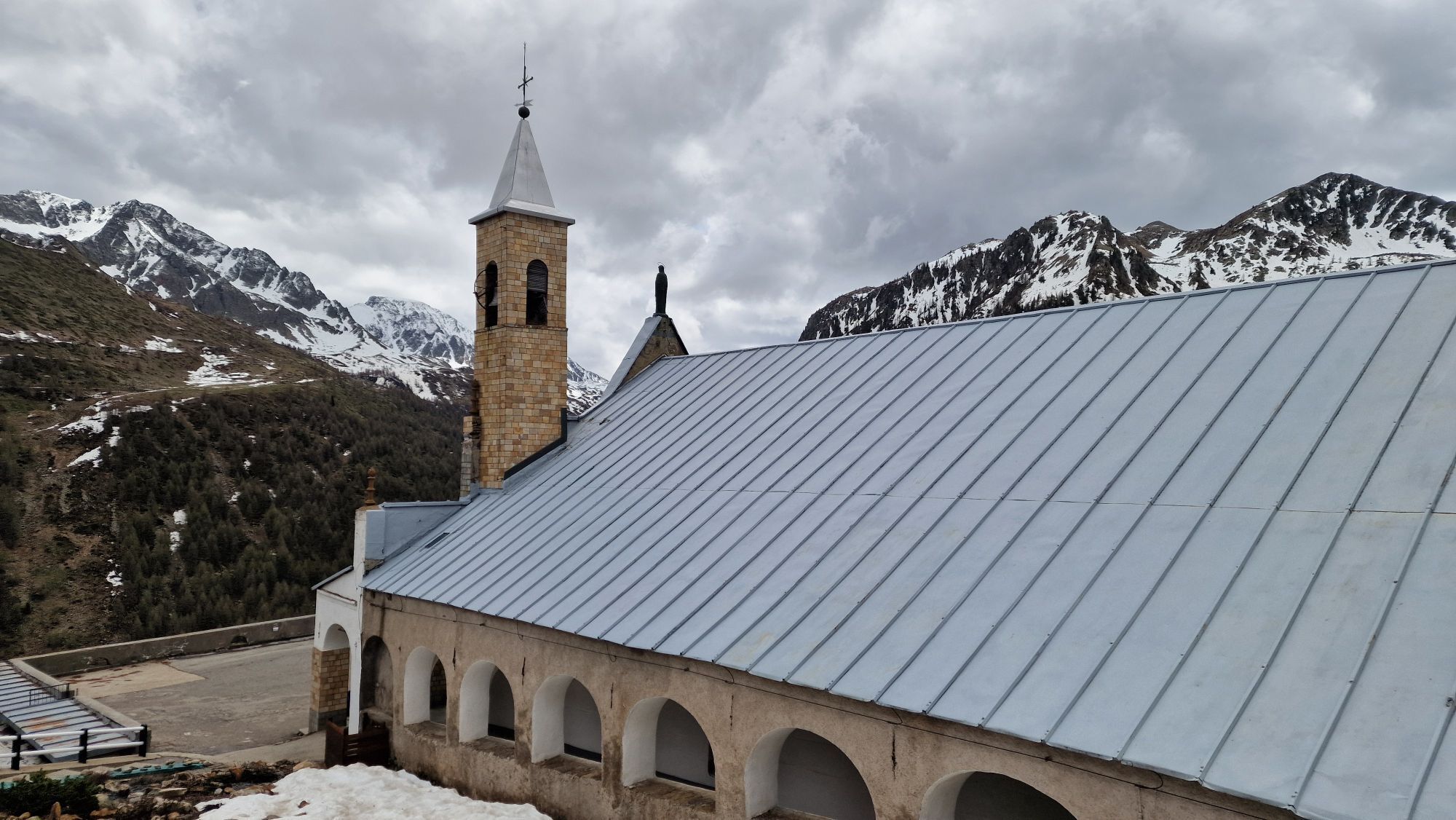
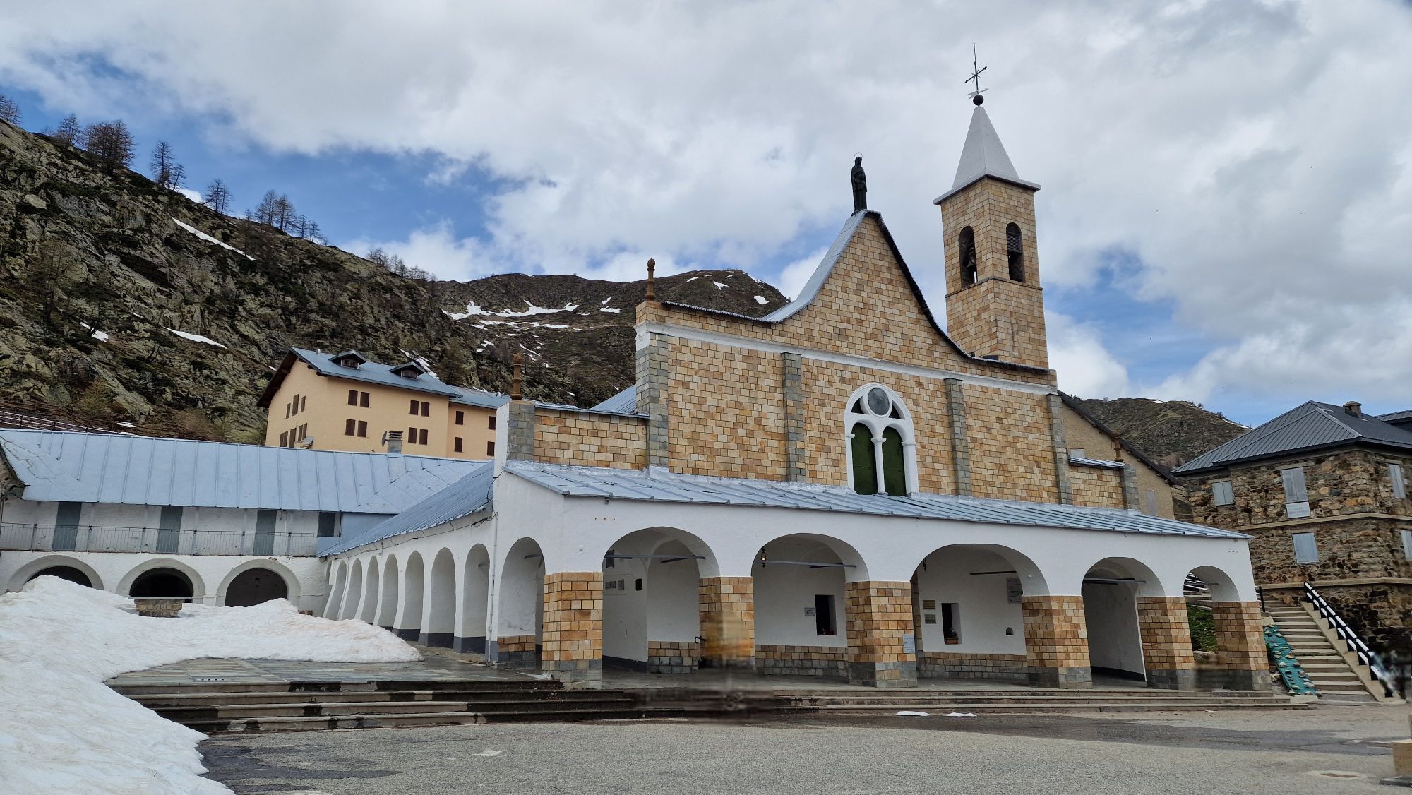
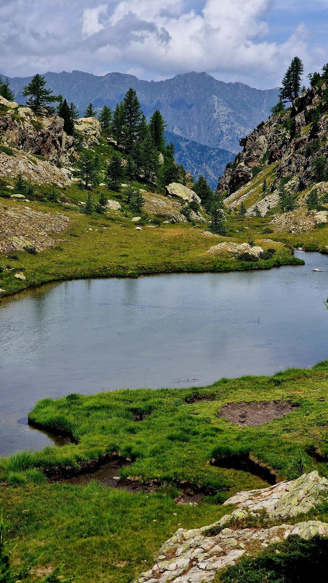
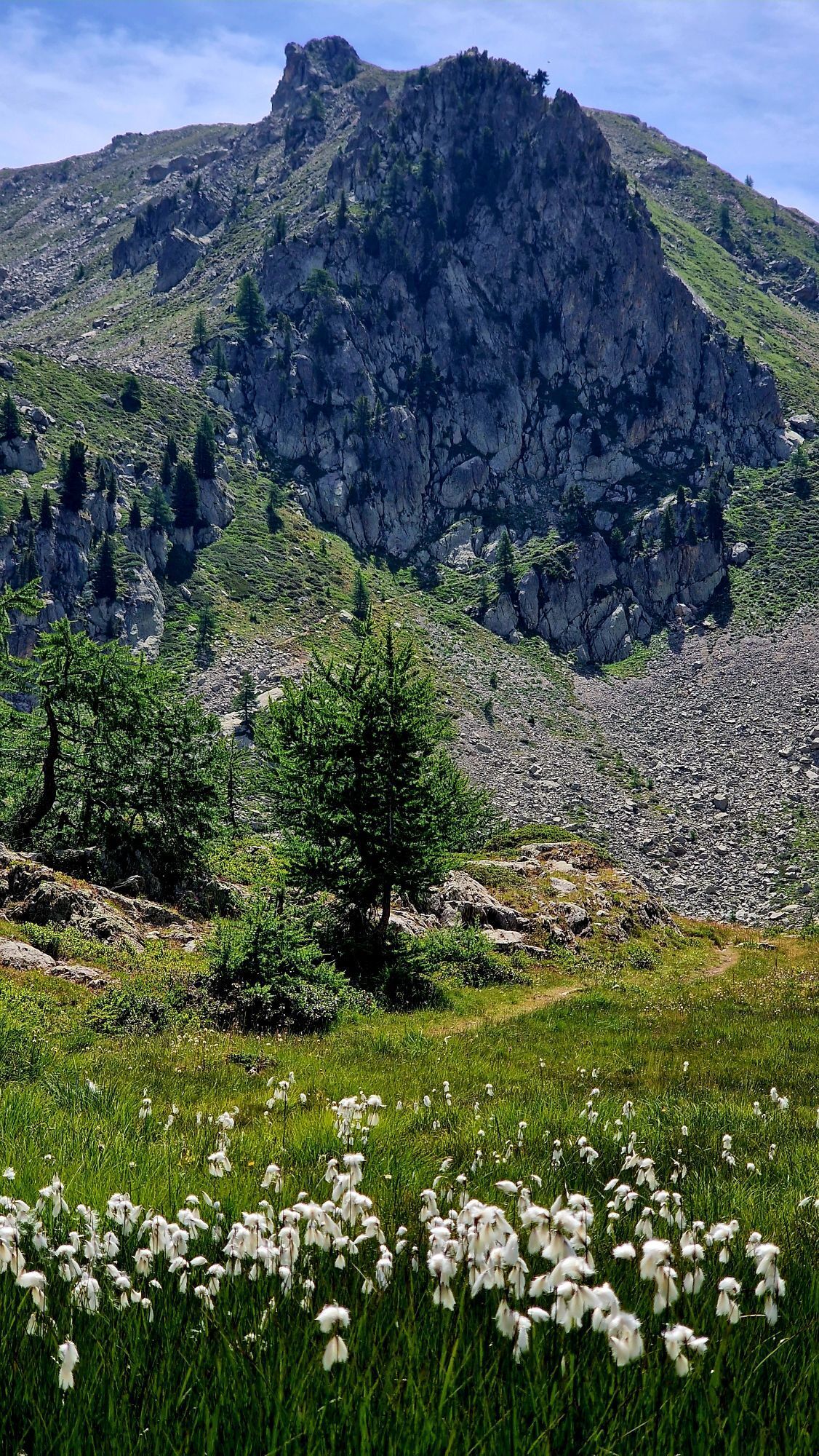
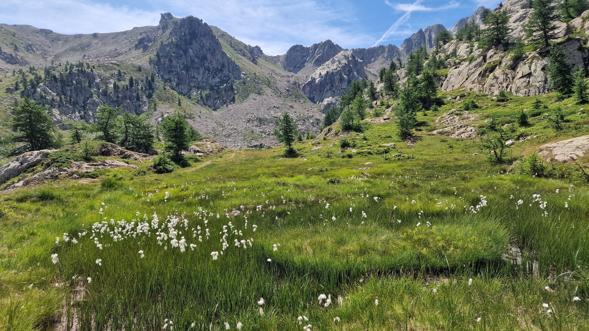
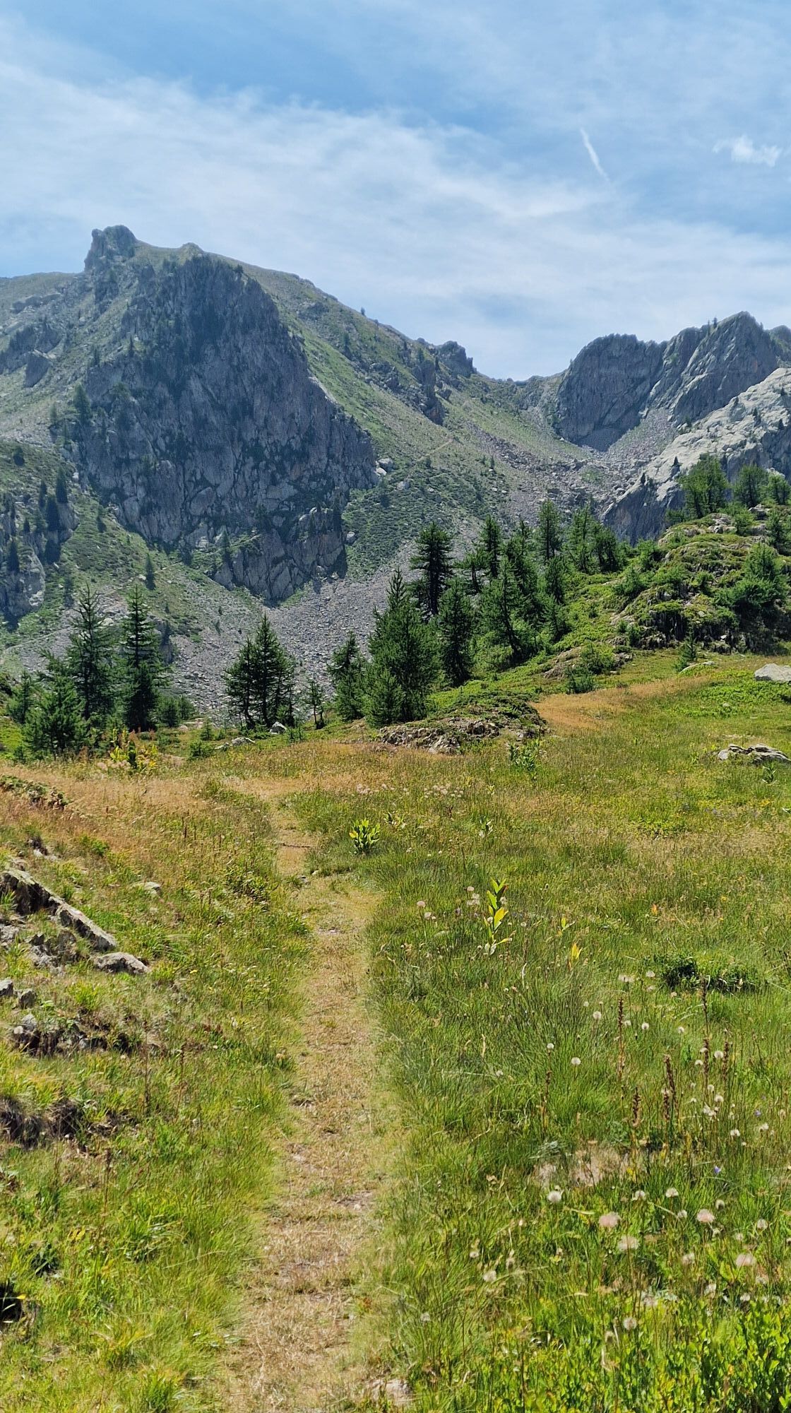
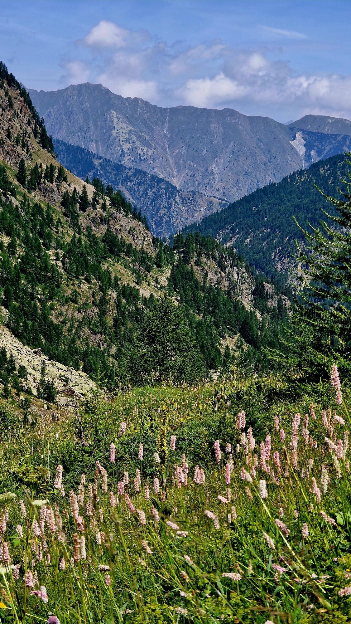
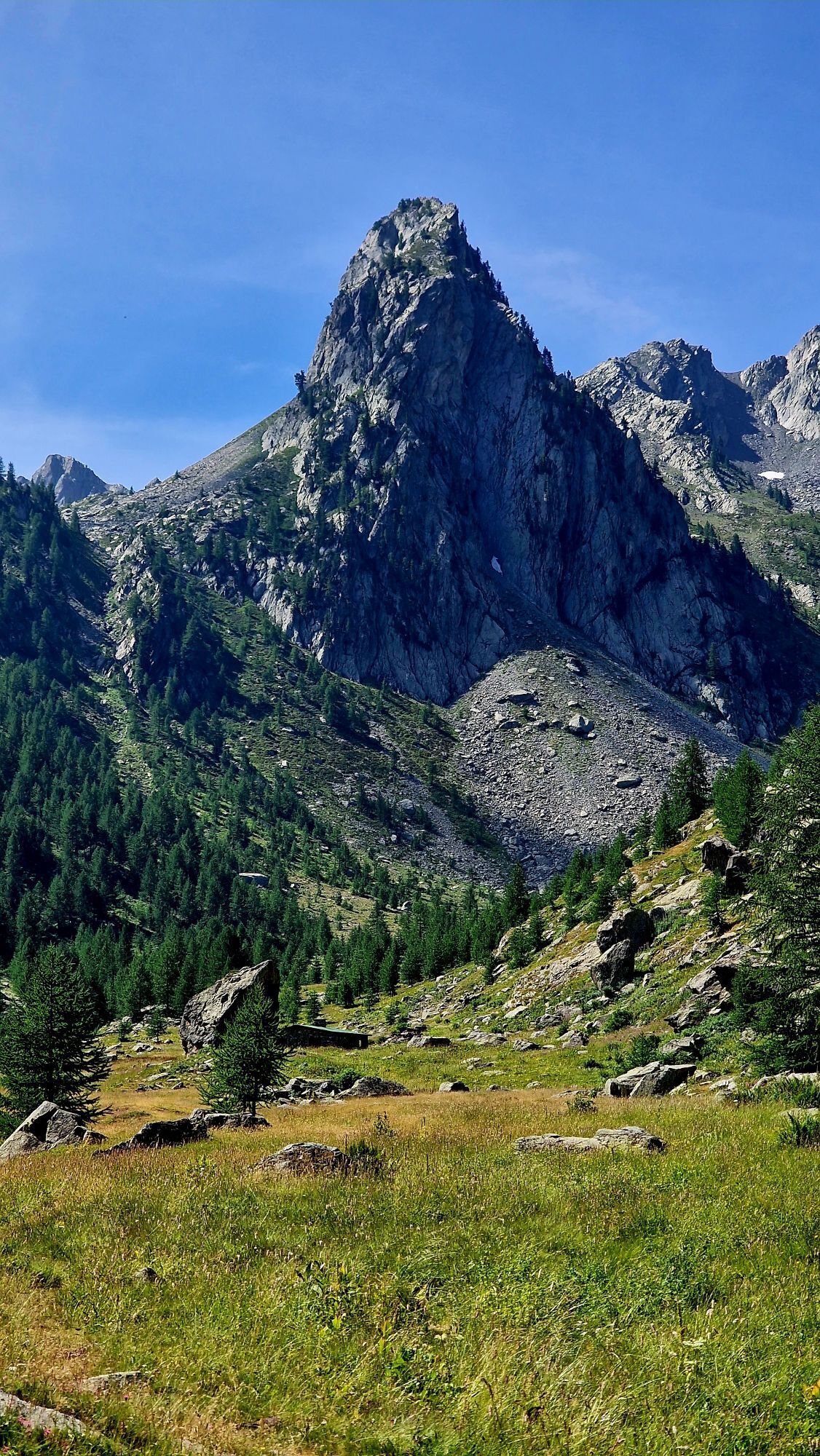
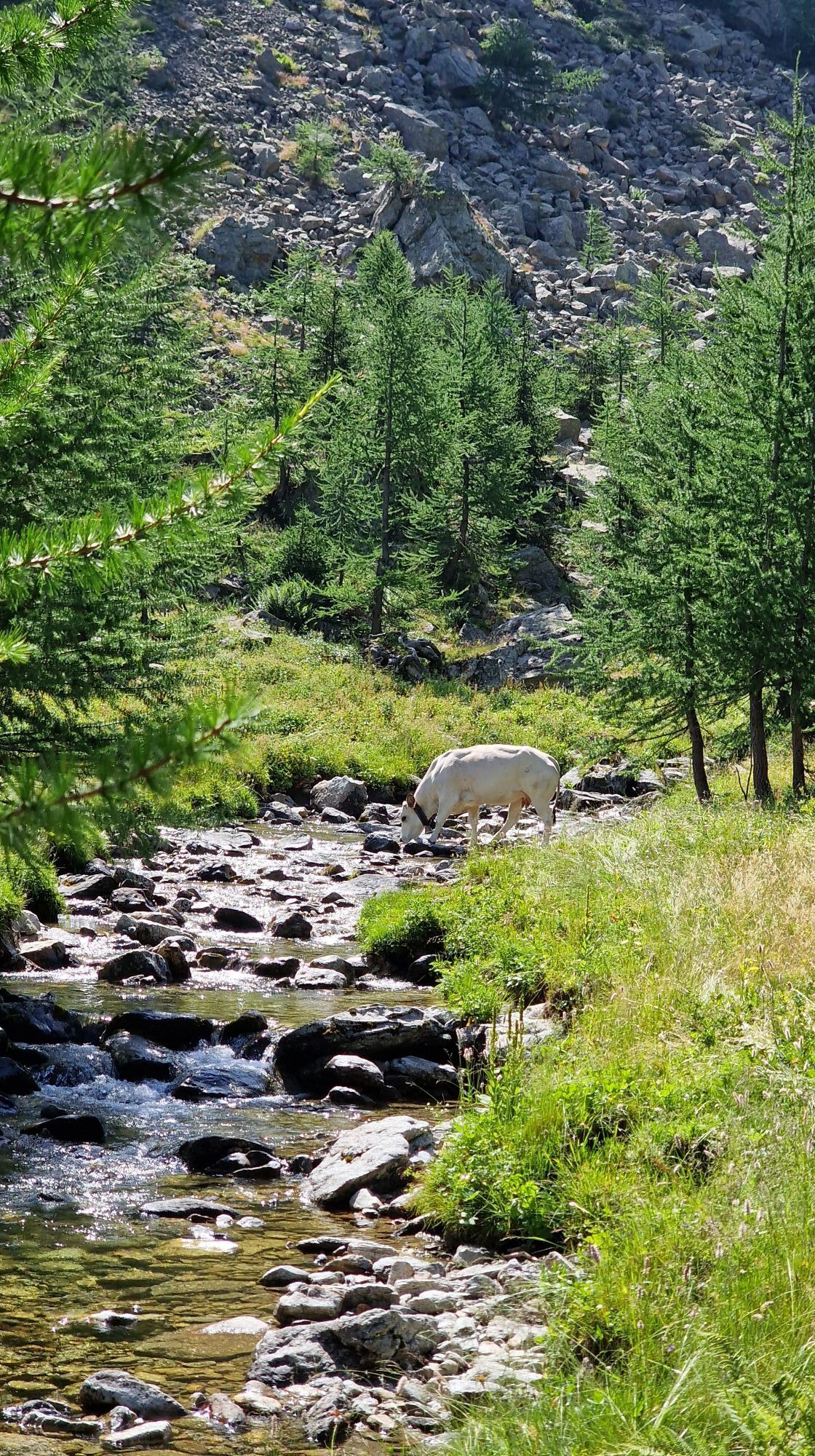
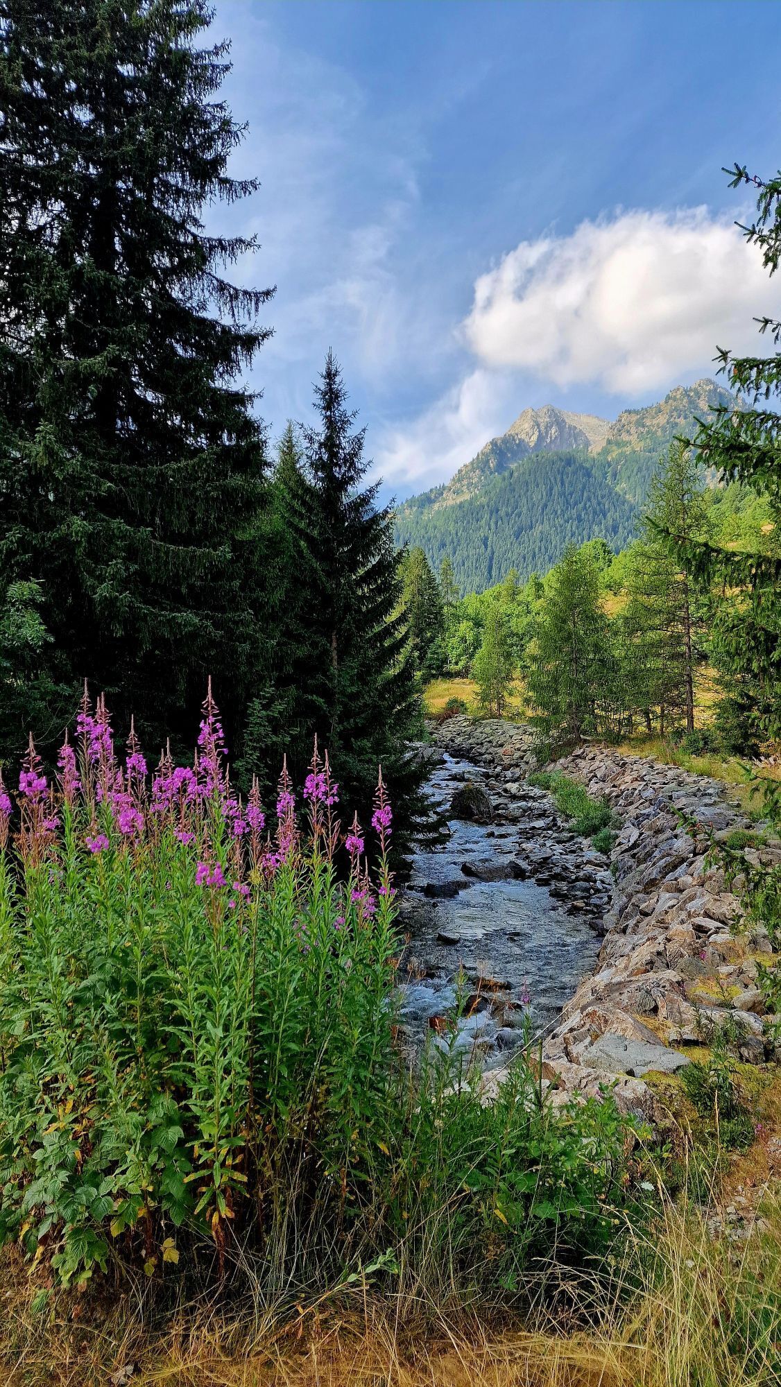
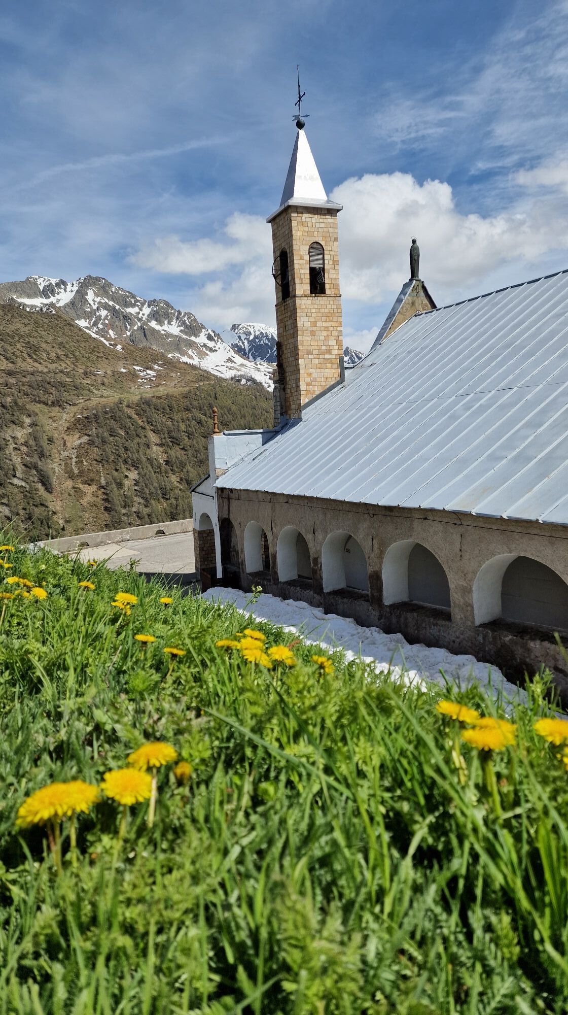
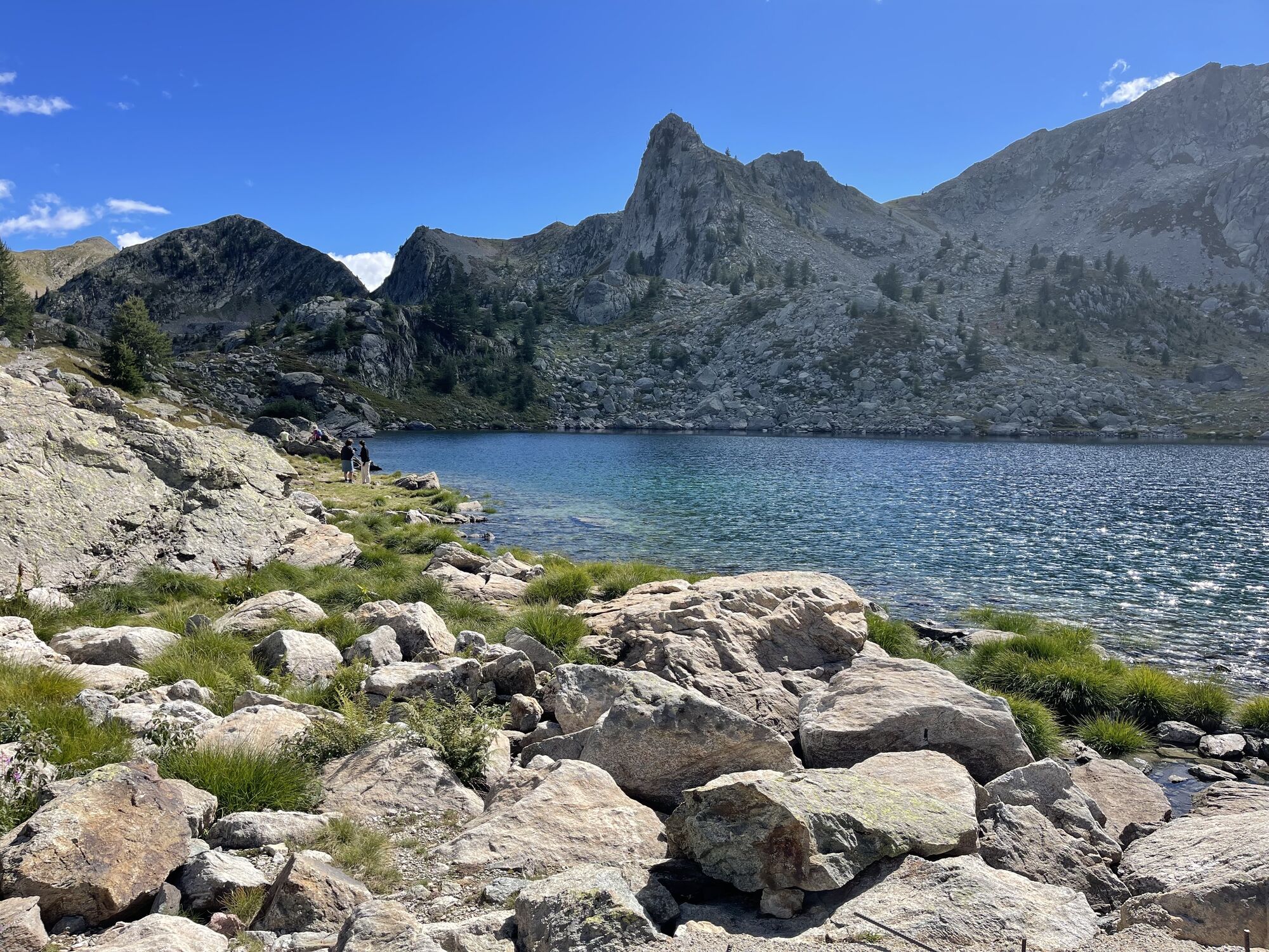
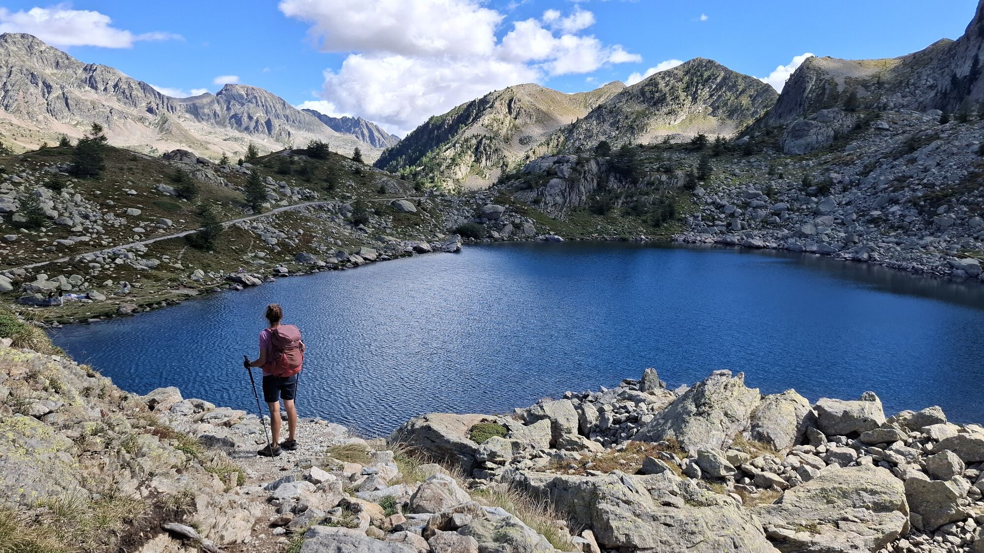

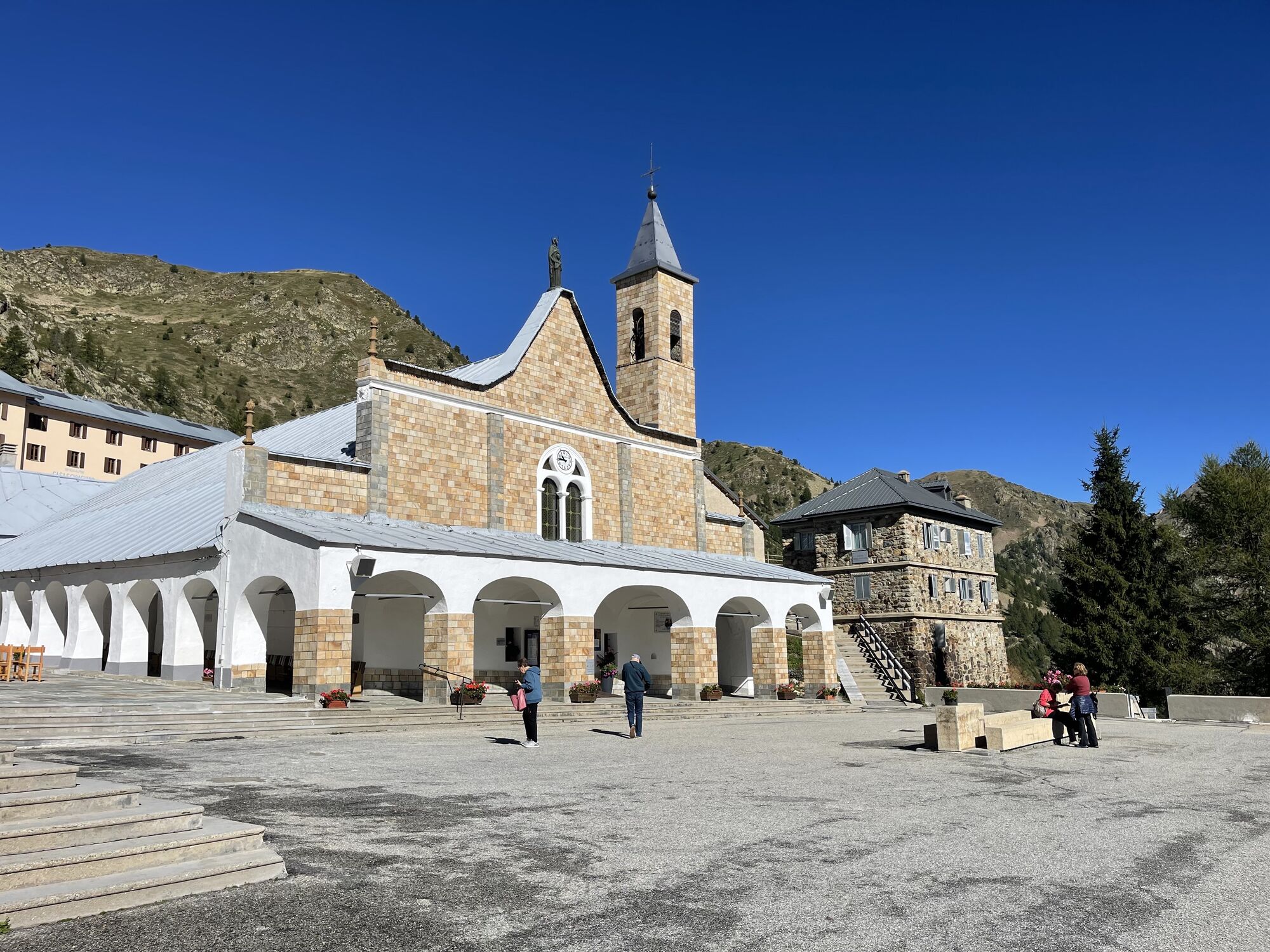
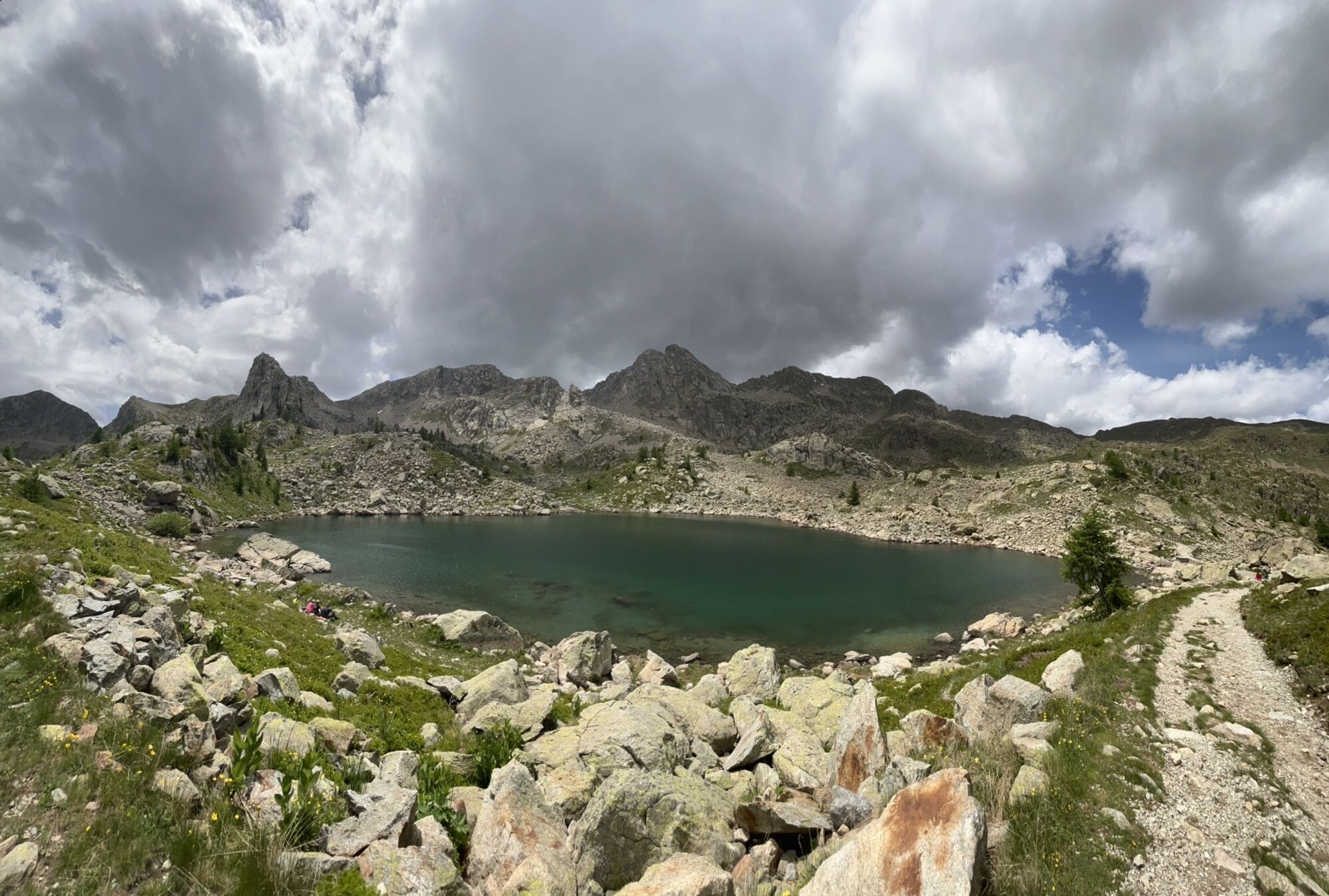
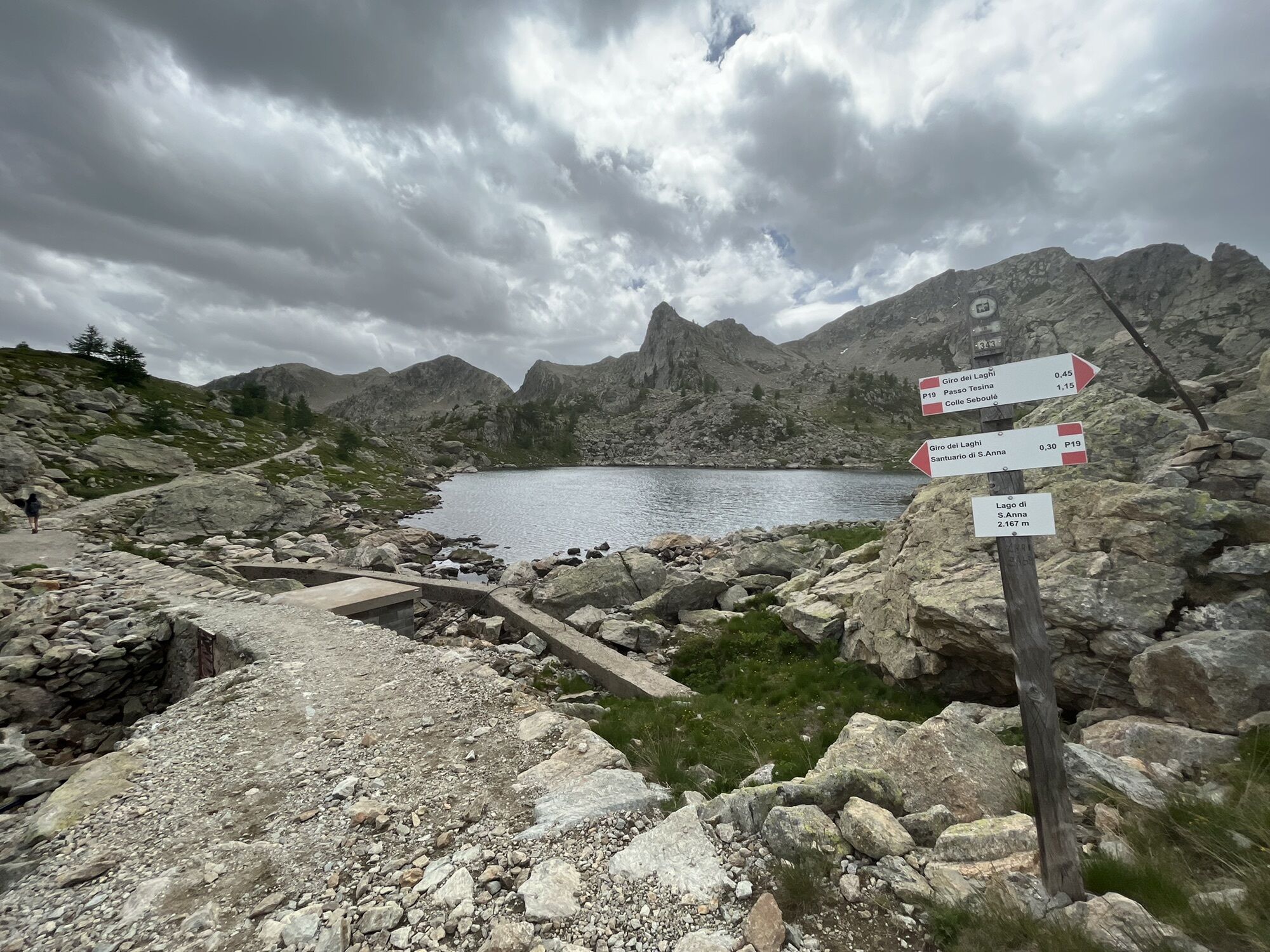
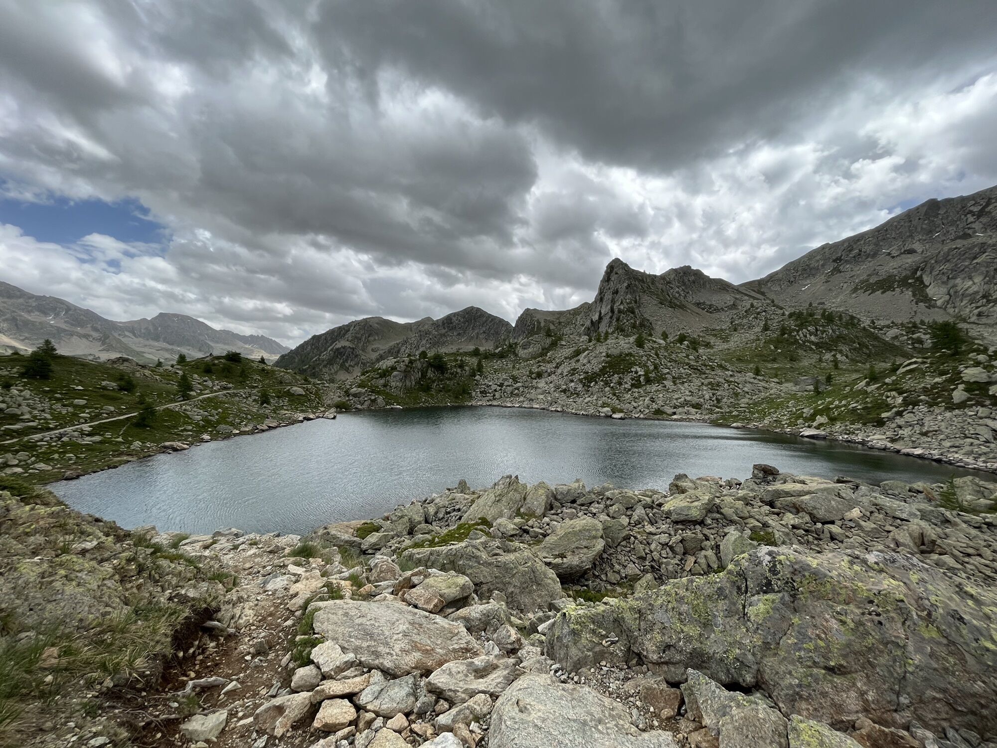
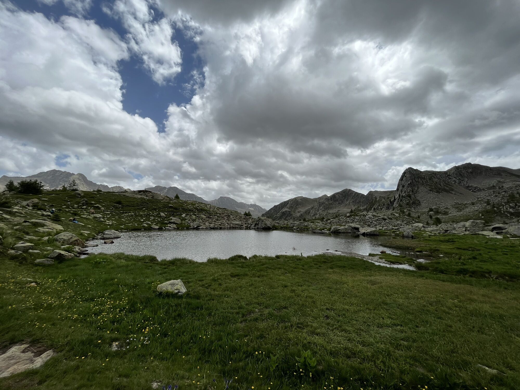
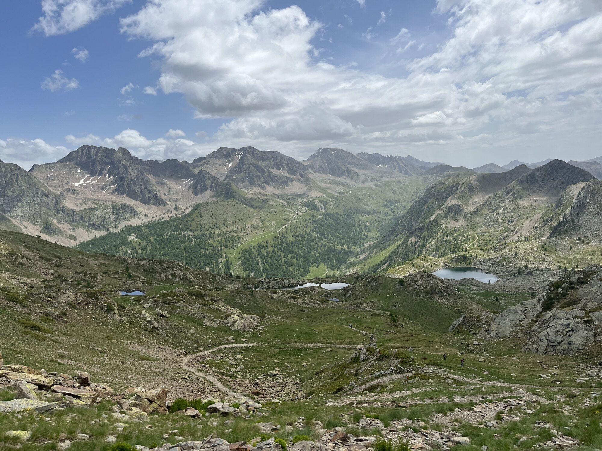
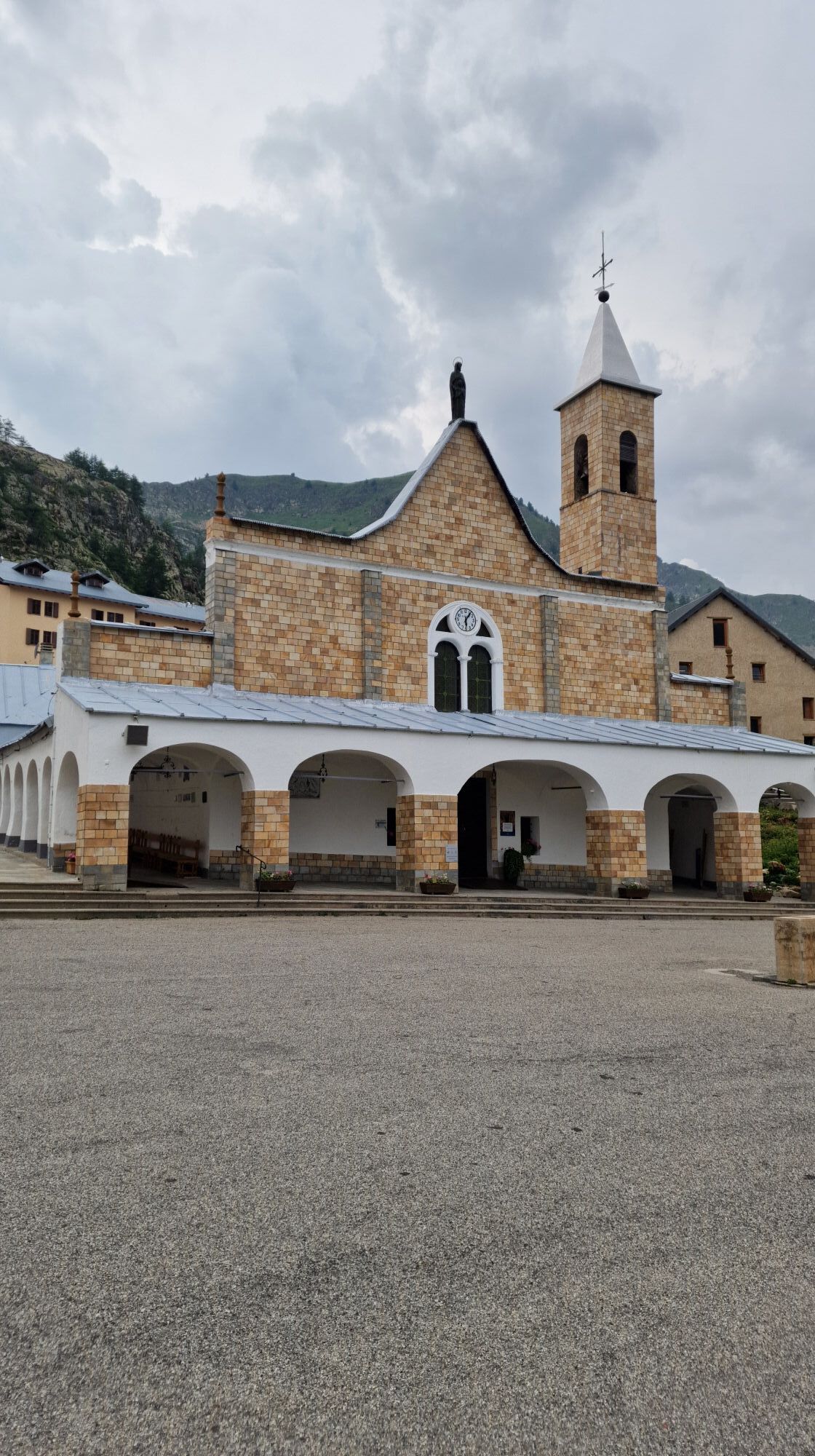
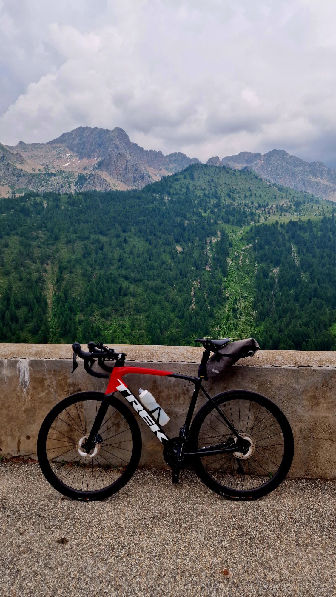
For the twelfth stage of the Lou Viage, start again from the Bagni di Vinadio to reach Sant'Anna di Vinadio, the highest sanctuary in Europe (2,010m), which attracts many faithful and tourists every year....
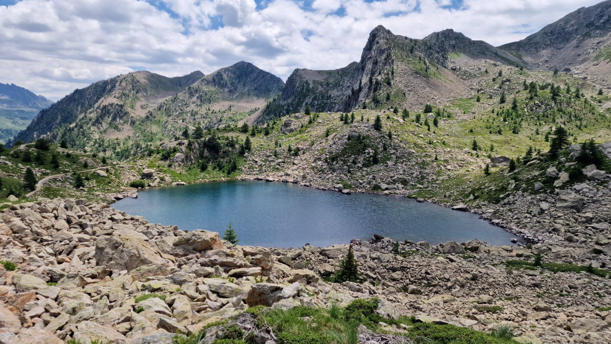
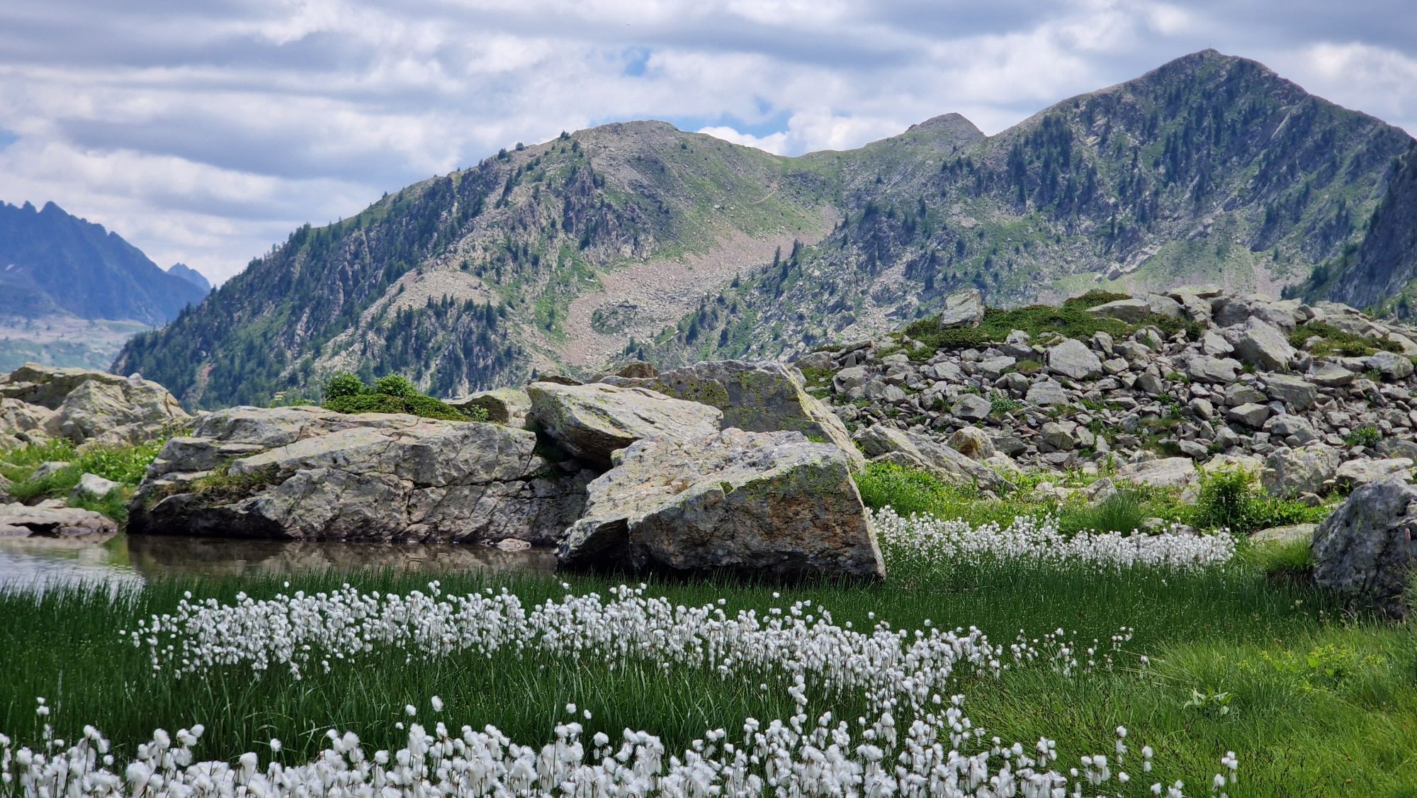
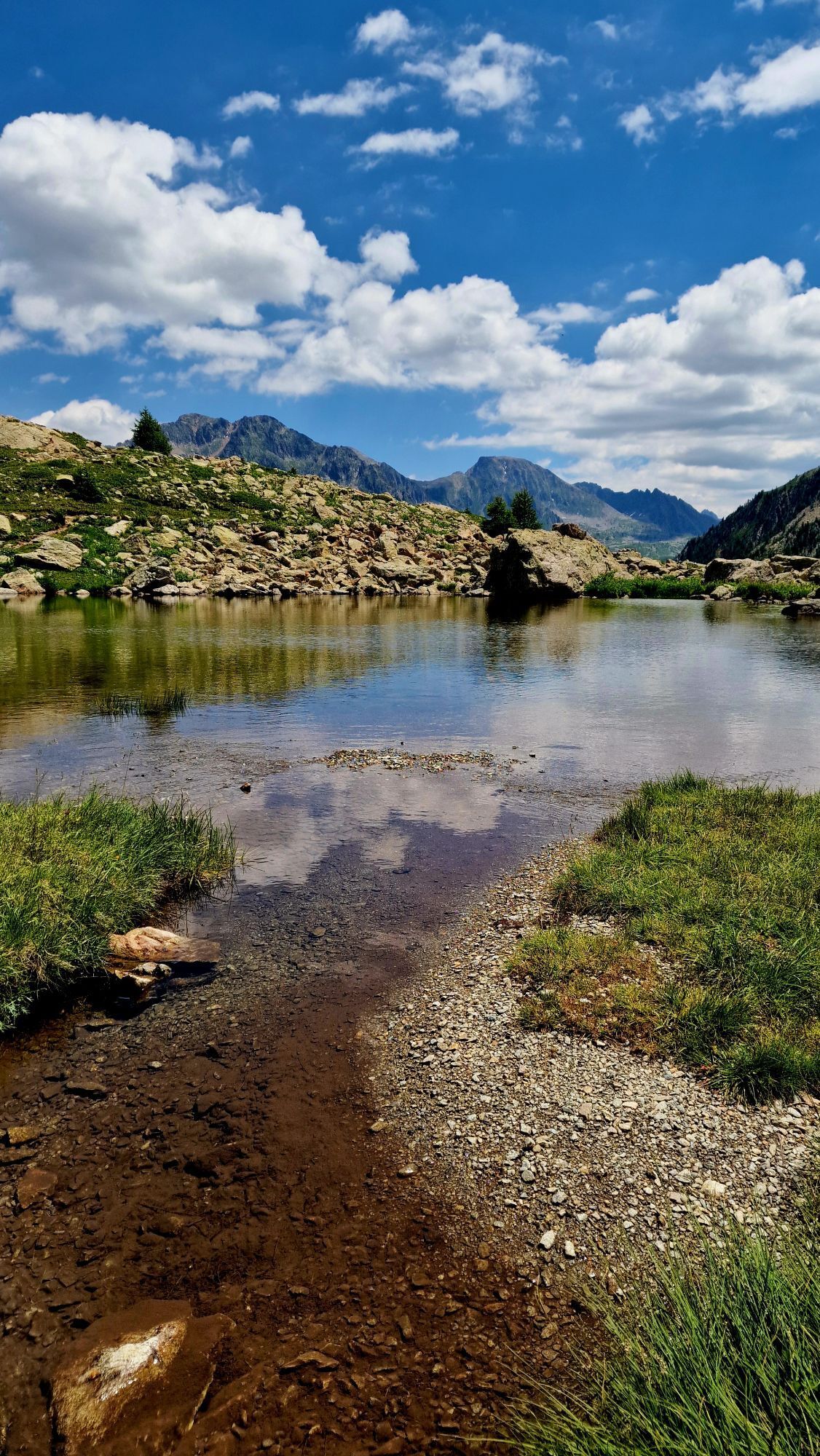
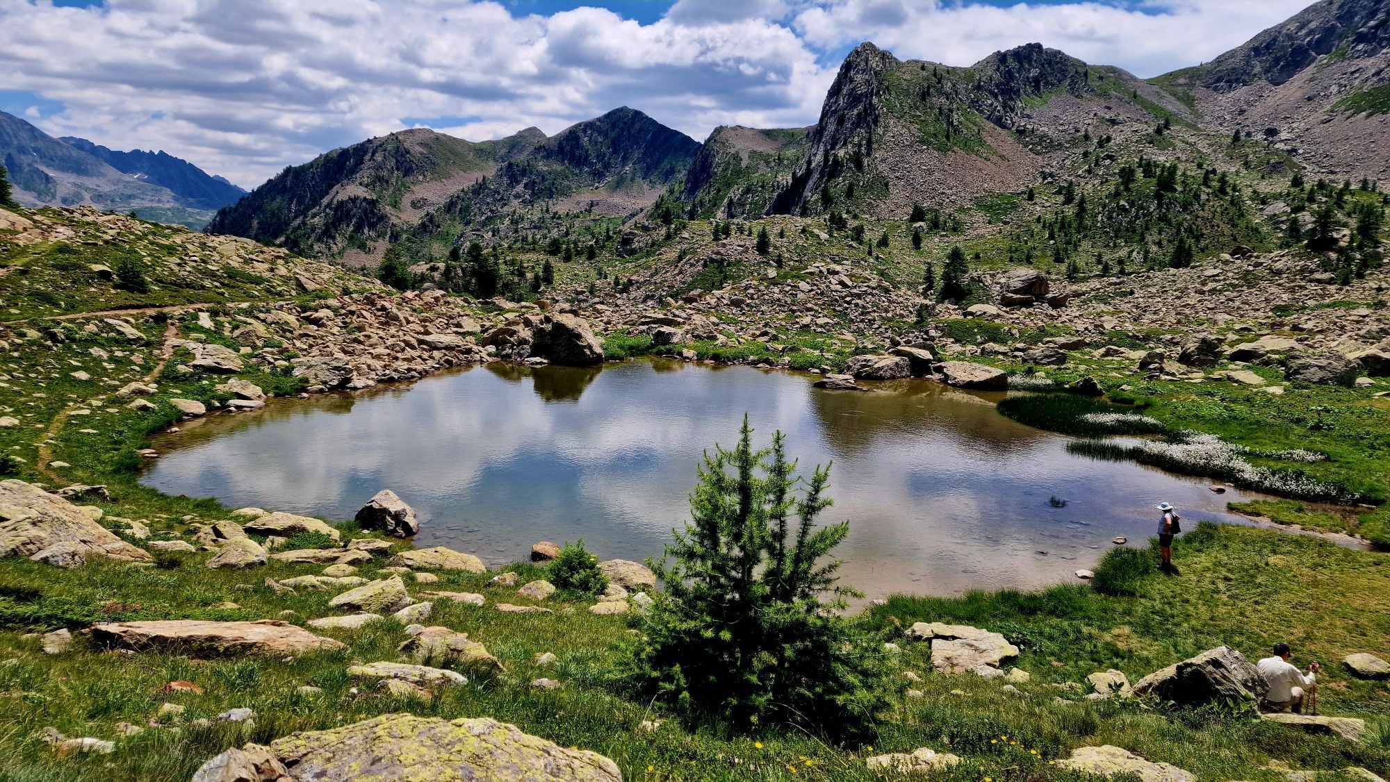
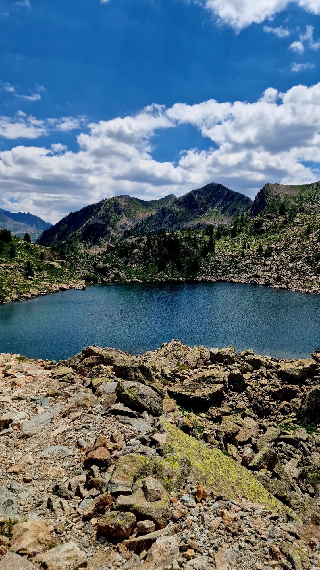
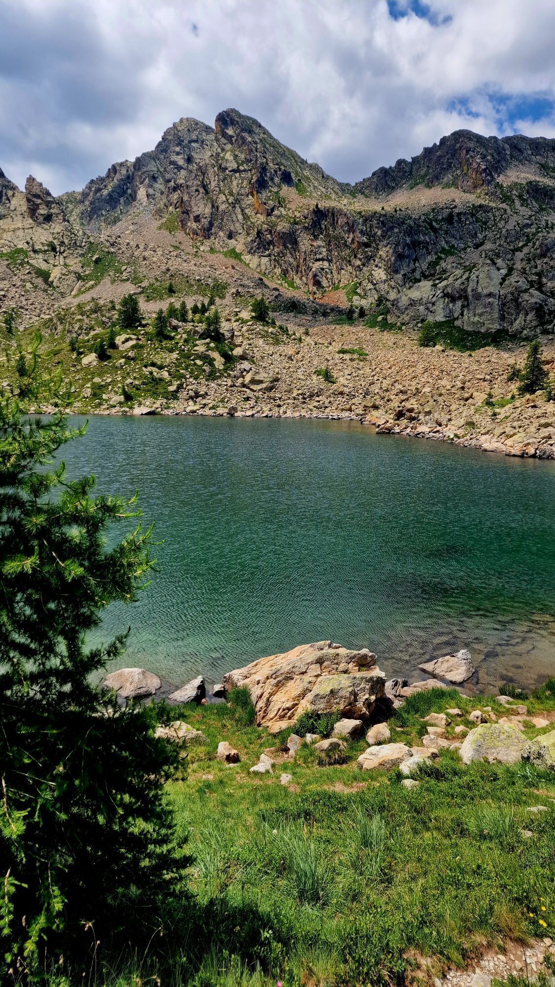
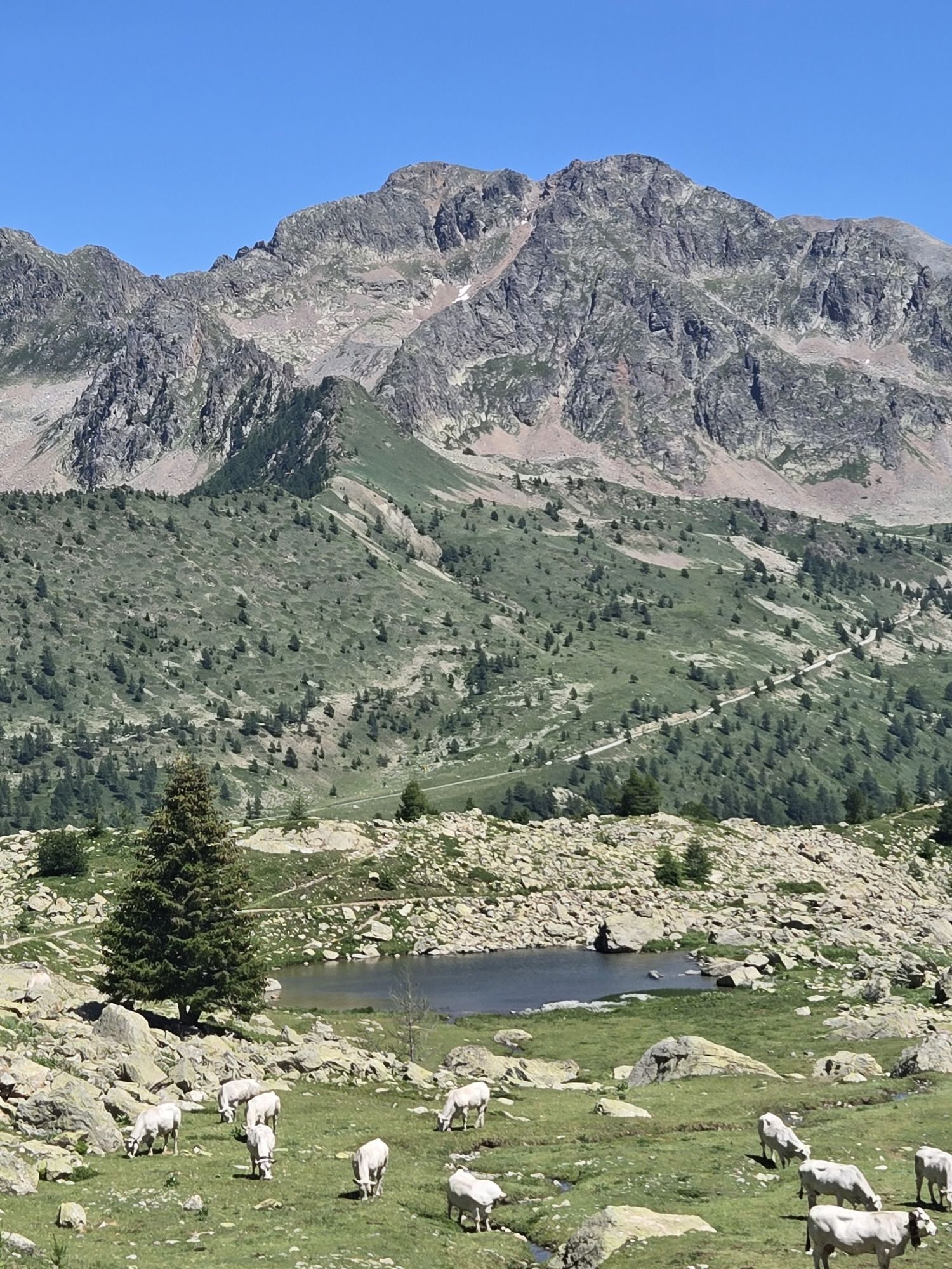
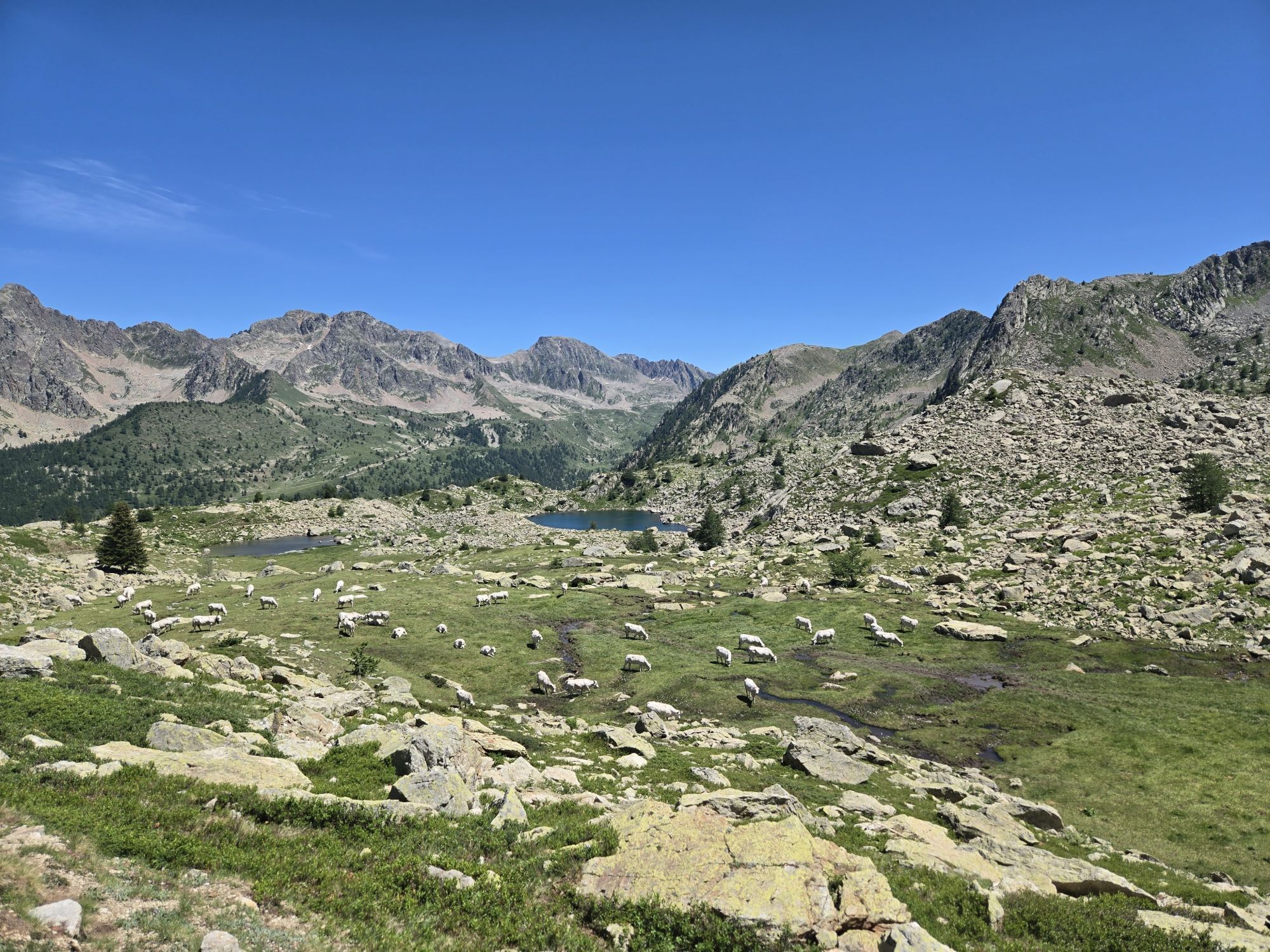
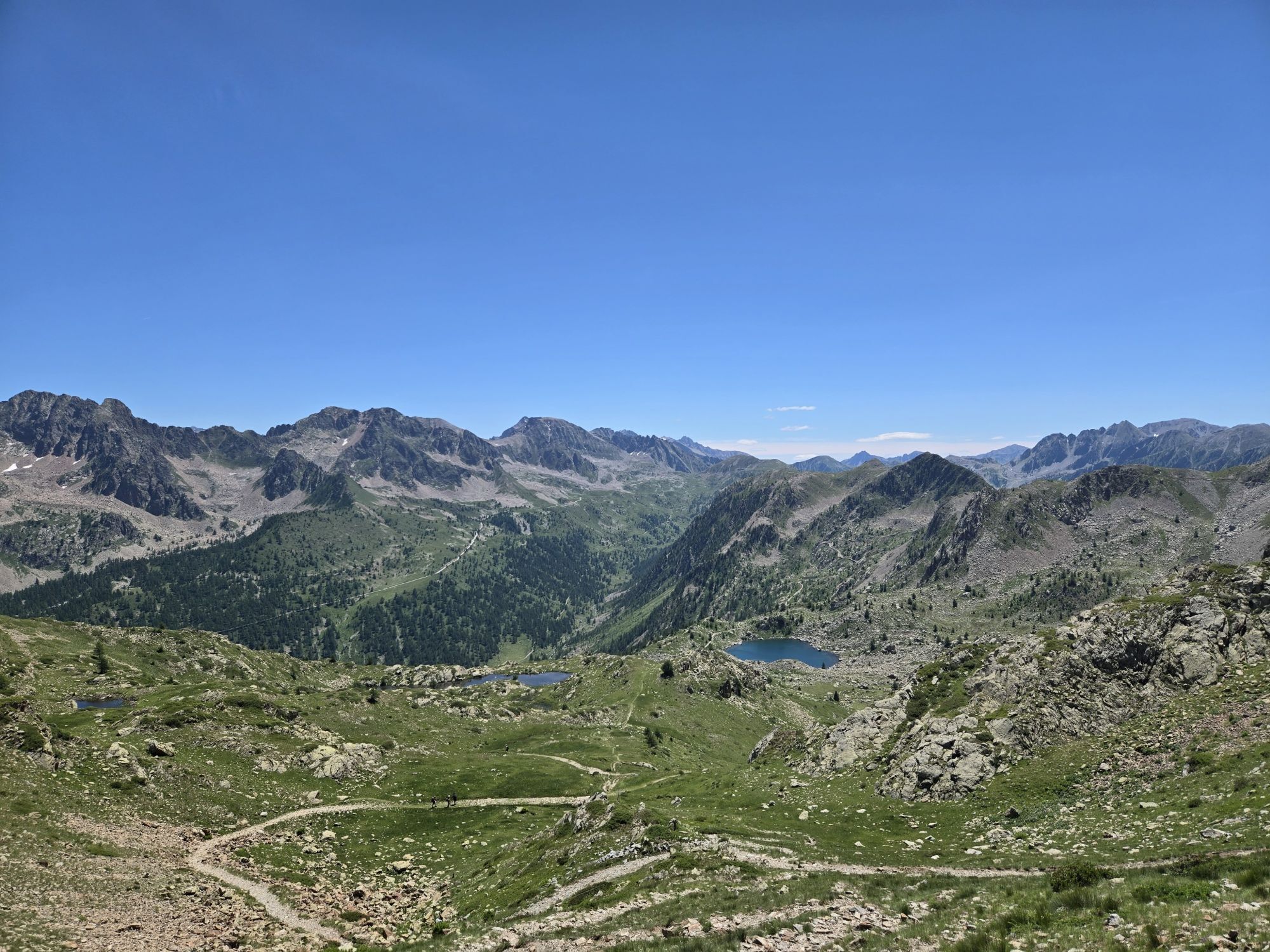
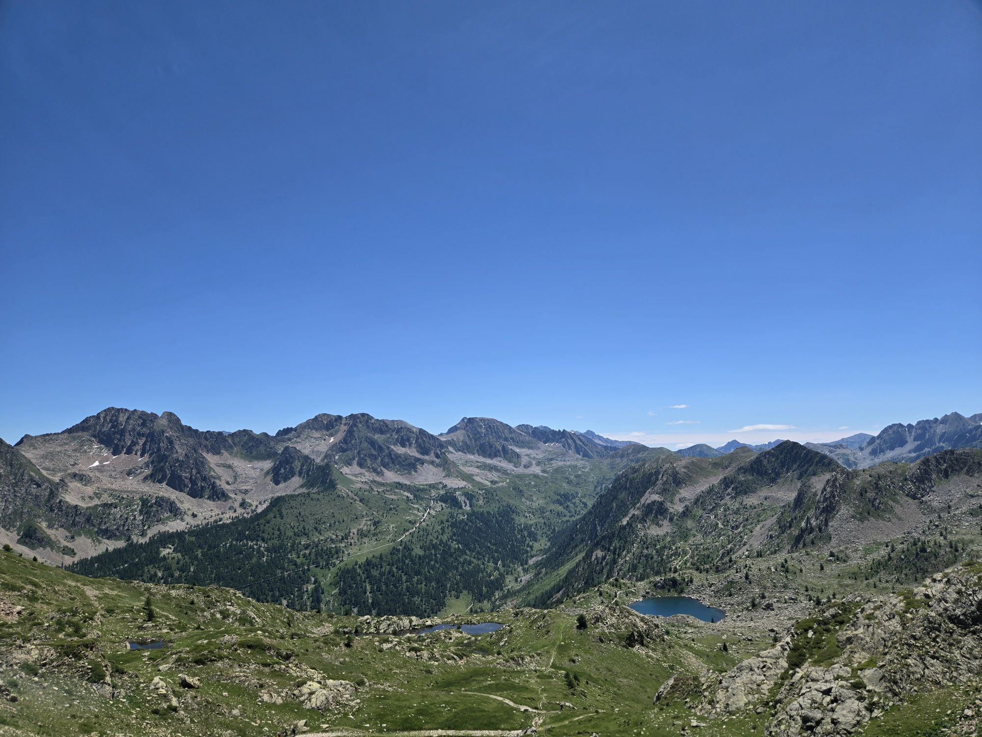
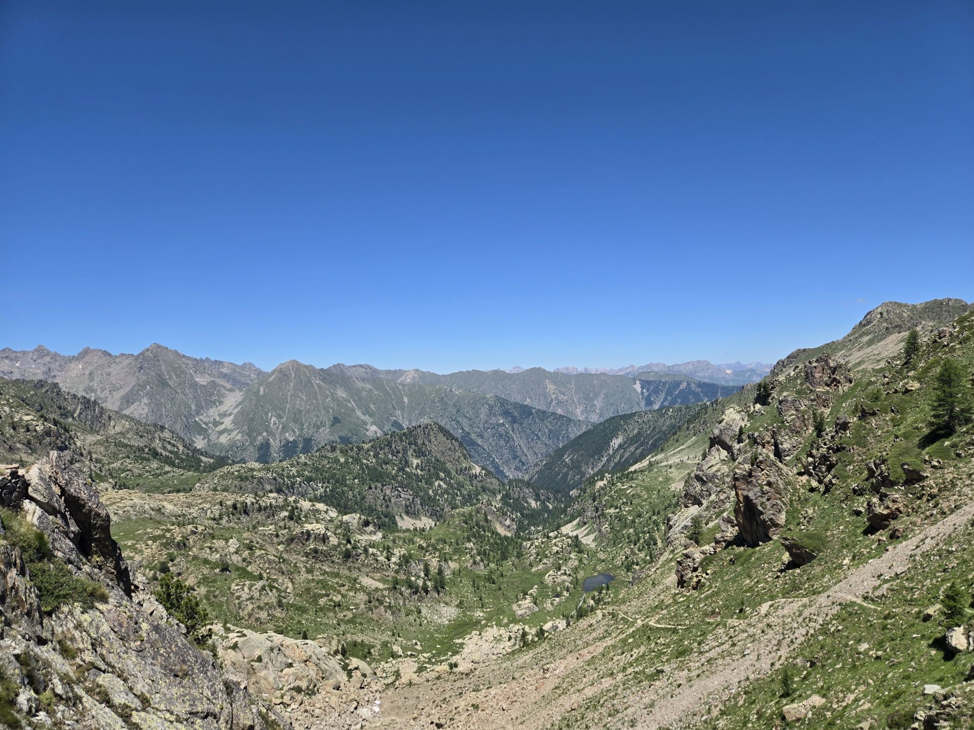
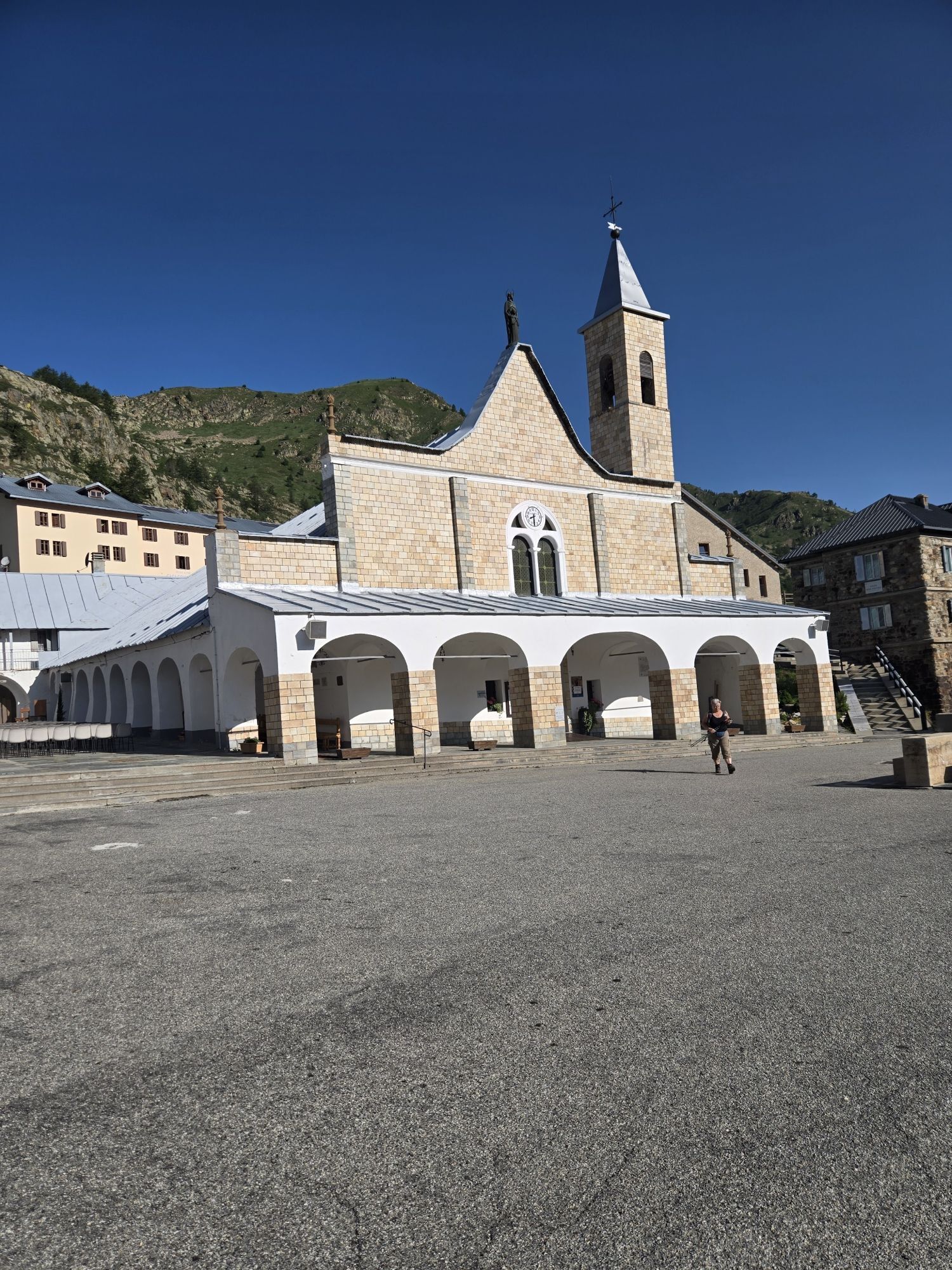
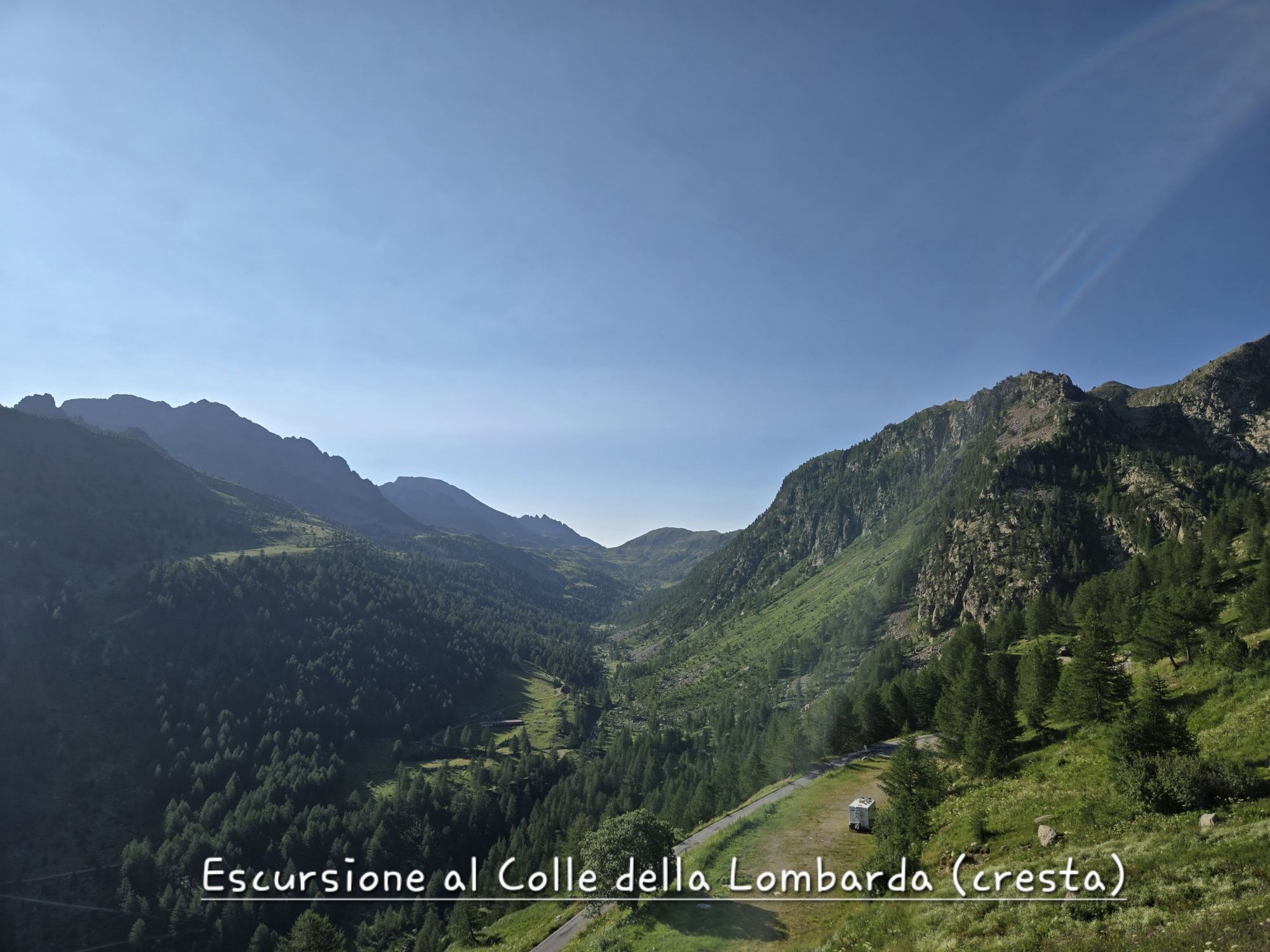
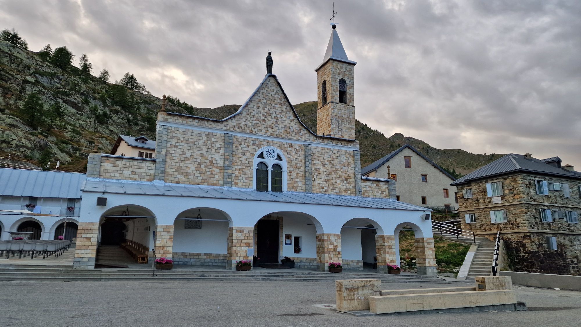
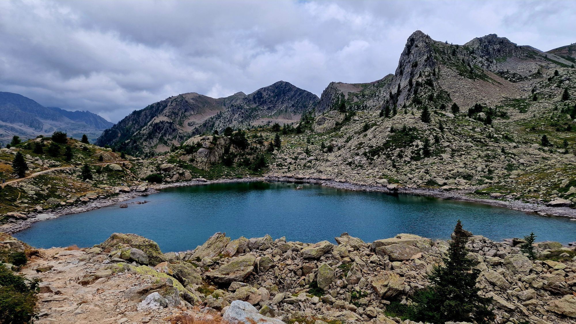
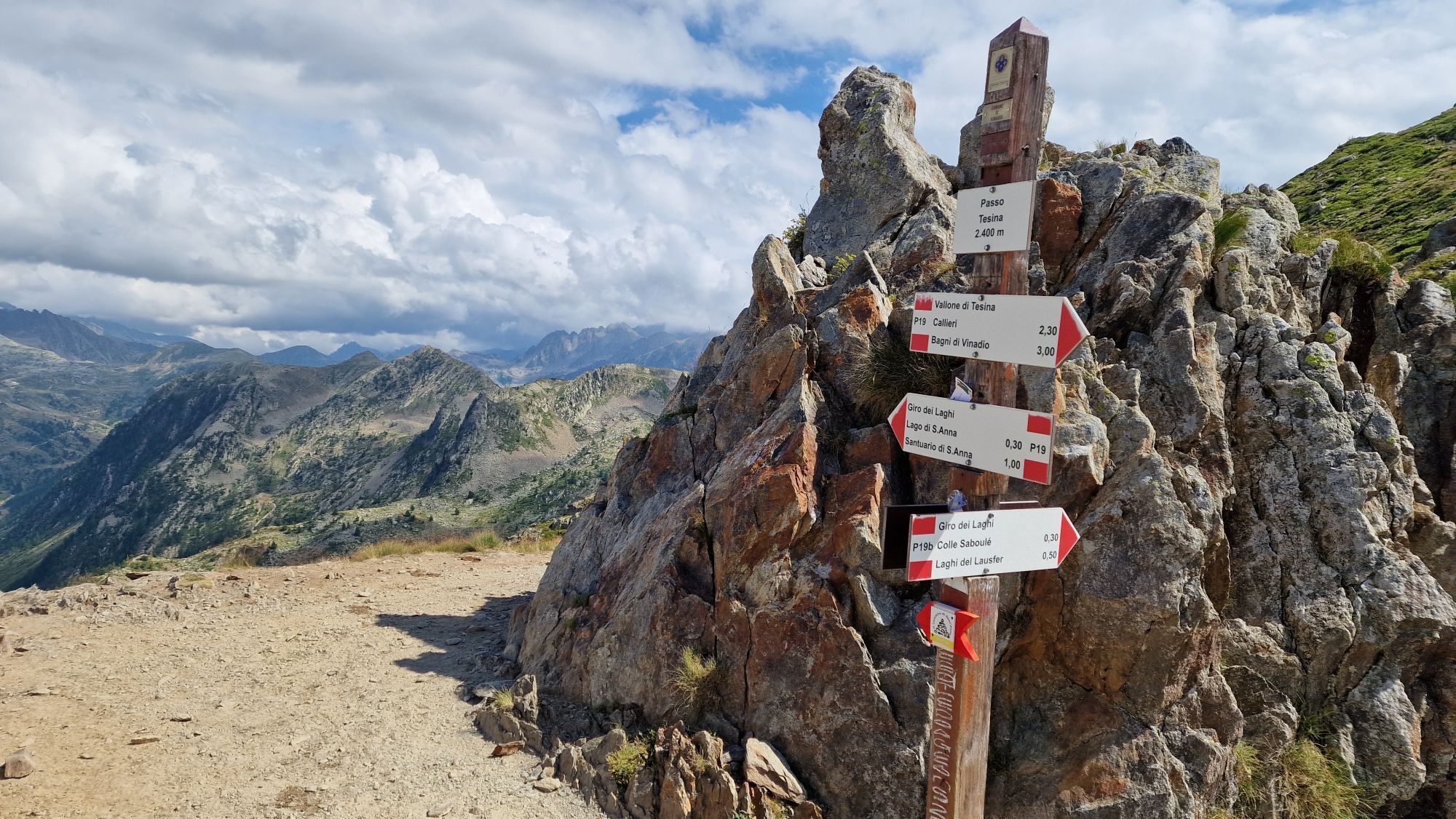
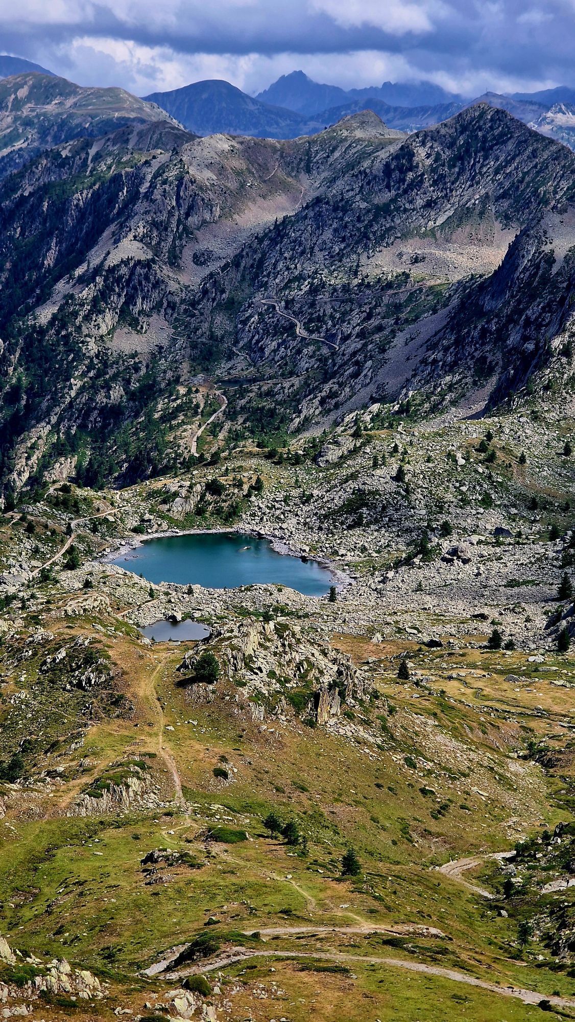
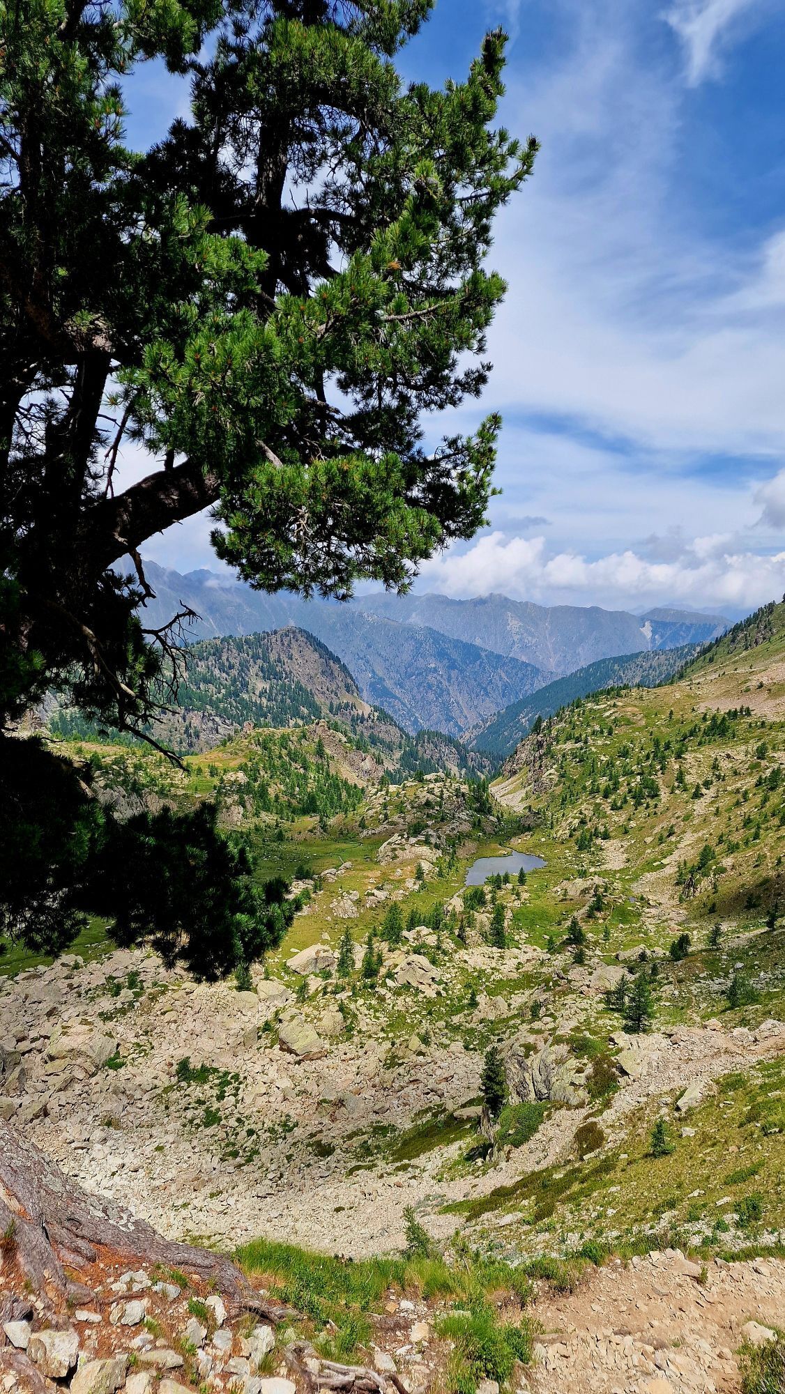
For the twelfth stage of the Lou Viage, start again from the Bagni di Vinadio to reach Sant'Anna di Vinadio, the highest sanctuary in Europe (2,010m), which attracts many faithful and tourists every year. The itinerary will take you along the road towards San Bernolfo, then through hamlets and trails that will lead you to the Tesina hut, where the valley divides. From here, after passing through the Gorgia dei Laghi valley towards the Passo del Bue and the Vallone Roccias Lion, you will reach the Passo di Tesina (2,400m), which you will leave behind you with a rapid descent to reach your destination: the Sanctuary of Sant'Anna di Vinadio. For this stage, there are numerous variations you can take.

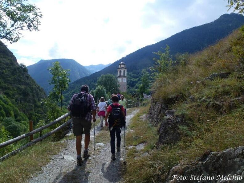

Variant 12A: Follow path P24 and then ascend to Passo di Laroussa before descending towards San Bernolfo.
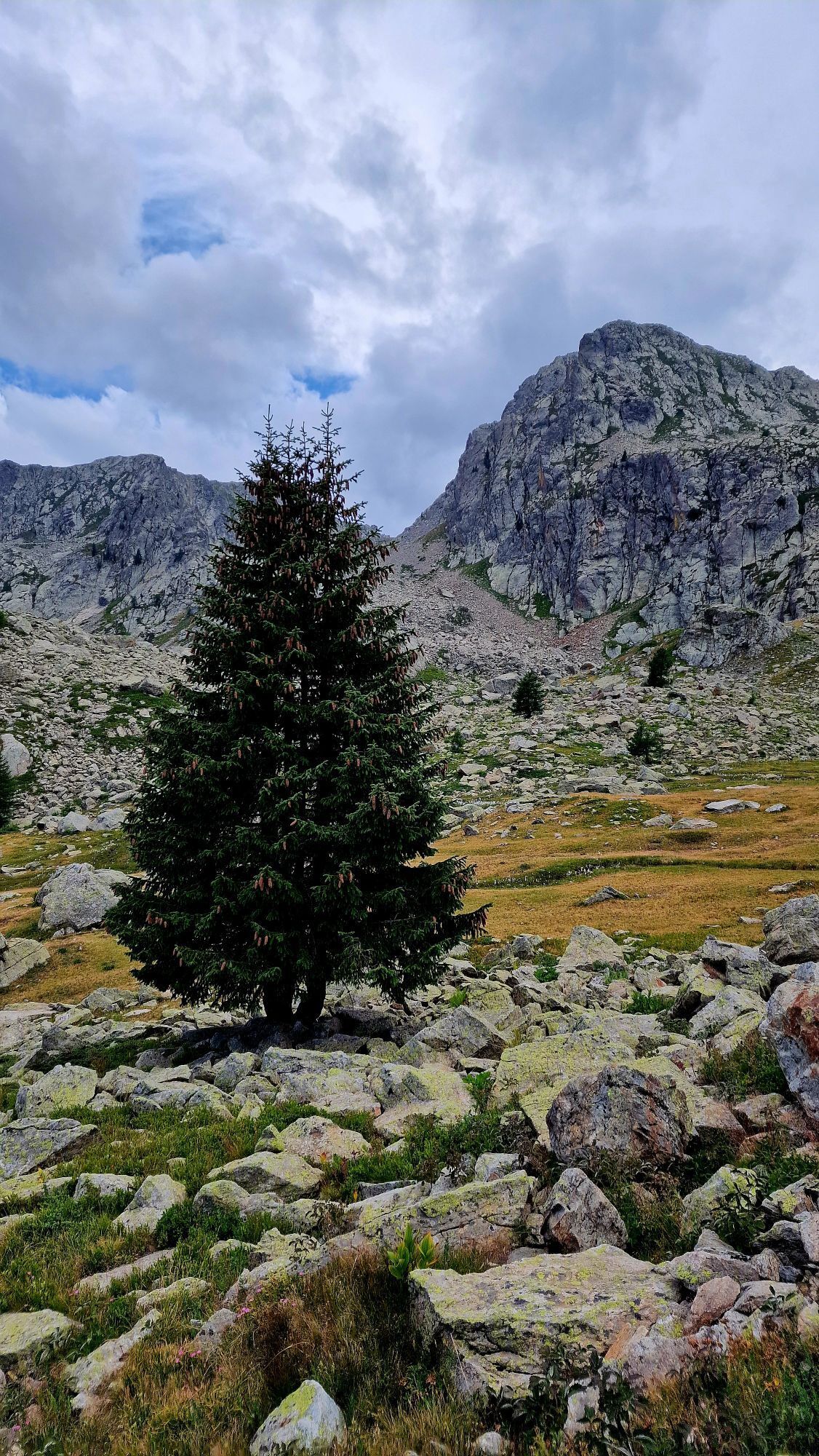
Variant 12B: From the Bagni di Vinadio, continue on the road towards San Bernolfo. At the junction for the hamlet of Callieri, leave it to the left and, after crossing the stream, ascend following path P19 which climbs up the Tesina valley. At an altitude of 1,947 meters, you will reach the Tesina hut; here the valley splits in two and, disregarding the P20 trail on the right which goes through the Gorgia dei Laghi valley towards Passo del Bue, continue southeast. Venturing into the Roccias Lion valley and passing through the rocky terrain, you will arrive at Passo di Tesina (2,400m). Then descend rapidly to the rock of the apparition and then to the sanctuary.
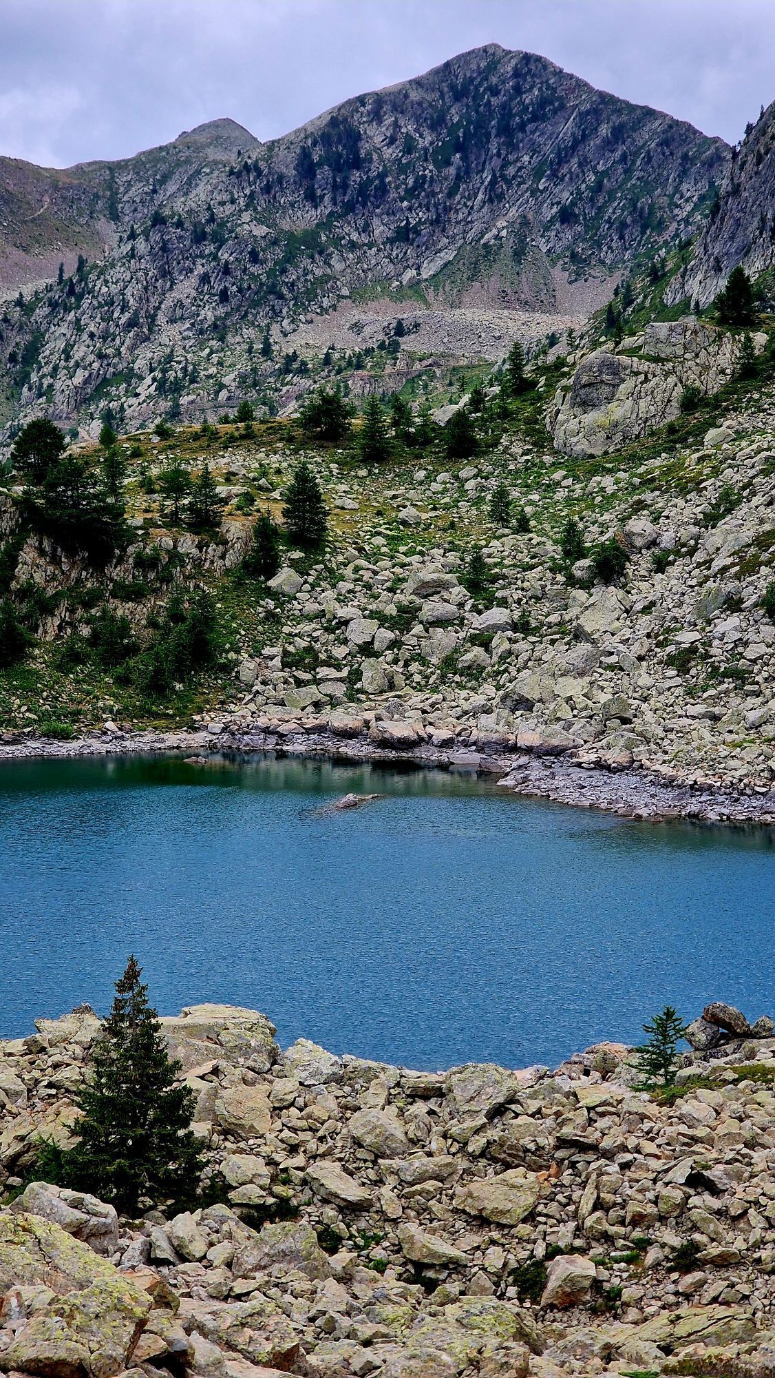
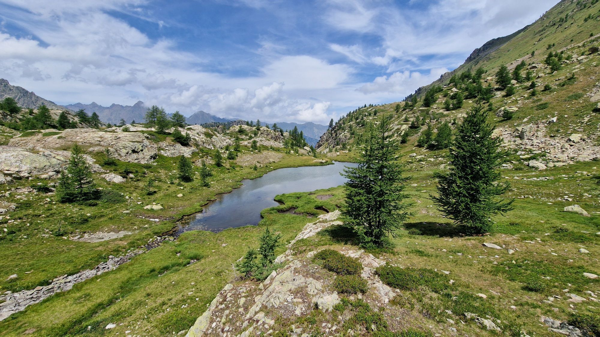
Variant 12C: From Passo di Tesina (2,400 m), take the spectacular path to the right, leading first to the SabouleÌ barracks and then to the higher SabouleÌ pass (2,460 m), on the Stura – TineÌe watershed. Crossing into French territory, follow a short traverse that, in a slight descent, leads to the upper Lausfer lake, then to admire the lower Lausfer lakes (or lacs Varicles). With a short ascent, re-enter Italian territory through the Lausfer pass (2,378 m). A path and then a track lead to the Sant’Anna pass (2,308 m). From here, following the former military road, descend towards the Sant’Anna pass lake and then, shortly, reach the Sanctuary.
Da
Pridobite vpogled
Vedno v živo na mestu z več kot 9.500 spletnimi kamerami. bergfex Kot uporabnik Pro si lahko zdaj ogledate ustrezne spletne kamere za številne izlete v aplikaciji izleti iz. Tako si lahko neposredno ogledate trenutne razmere.
Priljubljeni izleti v okolici
-
5.0
Rocca le Meja - Valle Maira
težkoVisokogorska tura 19.8 km -
Gardetta Bike Emotions
srednjaMountainbike 13.5 km -
San Giacomo-Colle Valcavera
srednjaCestno kolo 13.2 km -
4.0
Goldtoni - Alpenbogen A078 Bousiéyas-Roya
srednjaPohodništvo v daljavo 31.3 km -
1.0
Durch das Valle di rio freddo
srednjaPohodništvo 15.7 km -
5.0
Goldtoni - Alpenbogen A106 Refugio Morelli Buzzi-Refugio Malinvern
srednjaPohodništvo v daljavo 25.0 km -
5.0
Goldtoni - Alpenbogen A107 Refugio Malinvern-Strepeis
srednjaPohodništvo v daljavo 25.9 km -
FFC cycling circuit no. 33: the Tinée cycle path
svetlobaCestno kolo 29.4 km -
5.0
Goldtoni - Alpenbogen A108 Strepeis-Sambuco
srednjaPohodništvo v daljavo 16.1 km -
Discovering the Natura 2000 site "Bat site of the Haute-Tinée" - starting from St Etienne de Tinée (sporting level)
srednjaPohodništvo 7.43 km
Pohodništvo in sledenje


Ne zamudite ponudb in navdiha za naslednje počitnice
Vaš e-poštni naslov je bil dodan na poštni seznam.





