







FFC cycling circuit no. 33: the Tinée cycle path
Stopnja težavnosti: 2
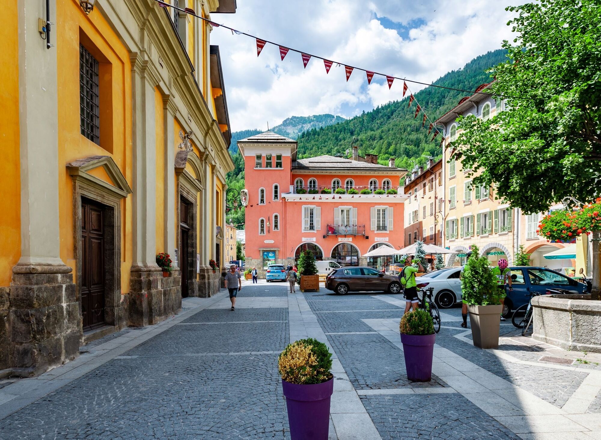
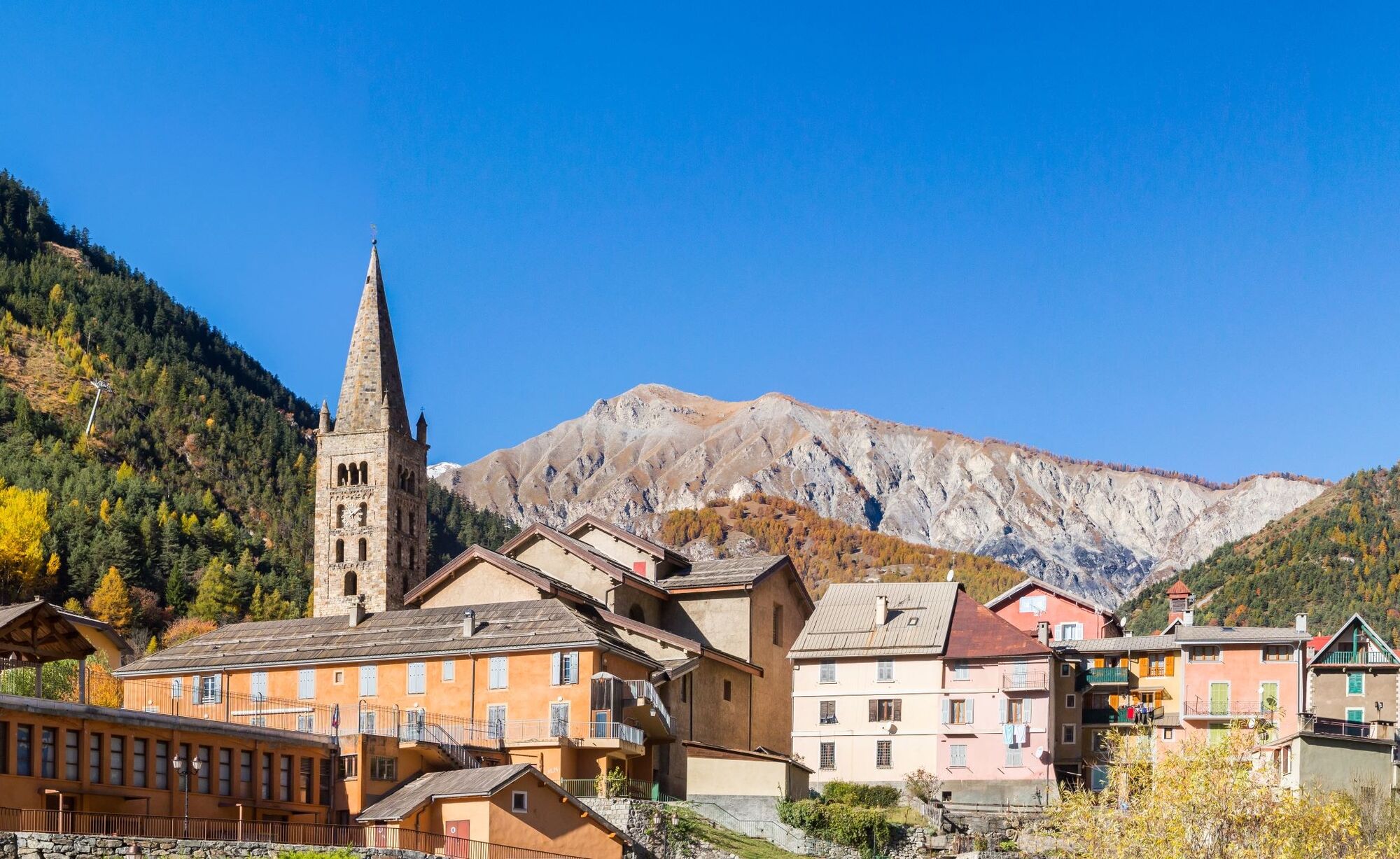
From Saint-Etienne-de-Tinée, the cycle path along the Tinée river was designed for a family outing, with little elevation, leading to the discovery of Isola village.
Performed as an out-and-back, the route...
From Saint-Etienne-de-Tinée, the cycle path along the Tinée river was designed for a family outing, with little elevation, leading to the discovery of Isola village.
Performed as an out-and-back, the route is well protected and offers good safety for discovering road cycling in the mountains.
All outdoor activities in the Metropole Nice Côte d'Azur are on https://outdoor.nicecotedazur.org


Da
Da
EQUIPMENT
-Wear an approved helmet
-Check the condition of your tires
-Carry a repair kit in case of puncture
-Prefer at least a flashing LED light to attach to the seat post to be seen by motorists, especially in the small tunnels that are common in the Metropole
Emergency number: 112
BASIC RULES
-Choose a route adapted to your physical condition, do not overestimate your abilities
-Check mountain weather and pass openings before leaving
-Remember to carry identification and an emergency number to call in case of danger
-Respect traffic lights
-Preferably use cycle paths when they exist; in other words, a sign may require it if:
The "cycle path" sign is square: you decide. If it is round you must take this path compulsorily.-Respect the environment and other road users
GOOD PRACTICES FOR RIDING IN A GROUP
-Riding two abreast is allowed, but single file is required:
at nightfall or when visibility is poor when a vehicle wishing to overtake signals its approach.-In case of breakdown, move to the edge of the road and not on the roadway
-At "Stop", yellow light, steady or flashing red light, come to a full stop for the entire group.
-Communicate within the group using verbal and gestural language to signal an obstacle or vehicle. A simple gesture or word can prevent a fall or accident.
Nice is served by the A8 highway "La Provençale", coming from Aix-en-Provence in the West and from the border in the East.
Take Exit no. 52: Saint-Isidore
Direction Digne
Then take the Tinée Road (RM 2205)
High-speed and express trains (TGV, Corail train) connect the Côte d’Azur to all French regions and all major cities in Europe.
Large Cartel parking, located on RM 2205, very close to the circuit starting sign
2
To learn more about our destination, visit our website
Route for leisure practice, accessible to all - FFC color: blue - easy
Pridobite vpogled
Vedno v živo na mestu z več kot 9.500 spletnimi kamerami. bergfex Kot uporabnik Pro si lahko zdaj ogledate ustrezne spletne kamere za številne izlete v aplikaciji izleti iz. Tako si lahko neposredno ogledate trenutne razmere.
Priljubljeni izleti v okolici
-
4.0
Goldtoni - Alpenbogen A078 Bousiéyas-Roya
srednjaPohodništvo v daljavo 31.3 km -
5.0
Goldtoni - Alpenbogen A107 Refugio Malinvern-Strepeis
srednjaPohodništvo v daljavo 25.9 km -
1.0
Durch das Valle di rio freddo
srednjaPohodništvo 15.7 km -
5.0
Goldtoni - Alpenbogen A106 Refugio Morelli Buzzi-Refugio Malinvern
srednjaPohodništvo v daljavo 25.0 km -
5.0
Goldtoni - Alpenbogen A079 Roya-Saint Sauveur sur Tinée
srednjaPohodništvo v daljavo 38.6 km -
Discovering the Natura 2000 site "Bat site of the Haute-Tinée" - starting from St Etienne de Tinée (sporting level)
srednjaPohodništvo 7.43 km -
5.0
Goldtoni - Alpenbogen A108 Strepeis-Sambuco
srednjaPohodništvo v daljavo 16.1 km -
FFC mountain bike route no. 11: The pointe de la Penna
srednjaMountainbike 11.1 km -
VTT FFC circuit no. 57: the Demandols cow barn / Bercha
srednjaMountainbike 22.5 km -
Lombardy snowshoe hike
srednjaSnežni čevlji 4.09 km
Pohodništvo in sledenje


Ne zamudite ponudb in navdiha za naslednje počitnice
Vaš e-poštni naslov je bil dodan na poštni seznam.





