







Cycling along the Rice Paddies - Discovering the Panorama of the Bassa
An ideal route to discover an area of true beauty that surrounds the city of Vercelli: the chequered sea, a delightful 40 km loop itinerary that explores the area of the Rice Paddies of Vercelli.
There...
There are many villages where ancient settlements of the rice farming civilization can still be seen, as well as many religious testimonies. Equally pleasant is the stretch that runs along the lake of Lago Ripalta as well as that of the Sesia river before returning to the city of Vercelli. The travel time is indicated as 4 hours on mixed dirt and asphalt terrain.

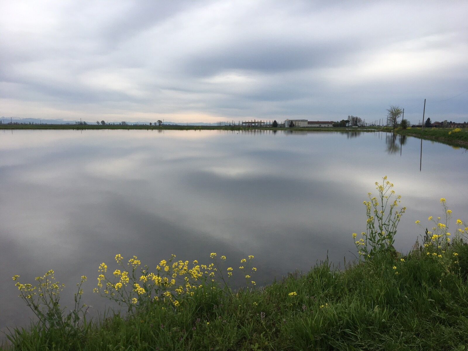

From the railway station of Vercelli in Piazza Roma take the cycle path of Viale Garibaldi and continue on that of Corso Prestinari as far as the level crossing. From here, crossing roads and unpaved routes, you reach the village of Larizzate; worthy of note is the Church of Maria SS. Assunta from which comes a document, dated 27 August 1493 that mentions the cultivation of rice for the first time in the area of Vercelli. On the outskirts of the city, there is a 12th century castle of which a portion of wall and 2 towers remain. Leaving Larizzate and continuing towards Asigliano V.se you cross a characteristic zone, “The Fontanone” (spring water cable), and the Vercelli countryside dotted with fields and old farmhouses. You reach the town of Asigliano, famous for the centuries-old tradition of the Ox Race which dates back to 1436, when the inhabitants of the town struck by plague asked the patron of the city, San Vittore, for his grace, promising to make the oxen run slower, as a sign of gratitude. The plague stopped and from that moment on, the second Sunday of May, the people of Asigliano keep their vow to the saint with the ox race. Having left the town, it is possible to make a small detour towards Lake Ripalta, an unusual scenario in these areas, which extends for approximately 110,000m² with a depth of 10m, populated by a variety of fish; the lake is private property. Returning from Lake Ripalta, continue on the main road towards Prarolo; passed the town centre, continue in the direction of Pizzarrosto for a few km and then turn towards the River Sesia. The last stretch of the route, before returning to the city, goes along the river that touches the provincial capital, offering breathtaking views.
Da
It should be noted that the itineraries may include sections where vehicular traffic is present.
Download the GPS track from the link
www.openrunner.com/r/9966056
Vercelli - Larizzate - Asigliano V.se - Prarolo - Vercelli
Priljubljeni izleti v okolici
-
Among medieval forests
svetlobaMountainbike 10.1 km -
Sentiero anello di Coniolo - Sentiero 751 in mountain bike
Mountainbike 9.94 km -
Sentiero anello di Coniolo - Sentiero 751 in camminata
Romarska pot 9.94 km -
Cycling between the Sesia and Po rivers
svetlobaMountainbike 63.4 km -
Checkerboard sea and mountains! Three provinces in one single route!
svetlobaKolesarjenje na dolge razdalje 68.4 km -
Cycling along the Rice Paddies - The Rice Paddies for all the Family
svetlobaMountainbike 26.9 km -
Po cycle path from Crescentino to Valenza
srednjaMountainbike 28.2 km -
Via Francigena of the Susa Valley | Stage 9 Castell'Apertole - Vercelli
težkoRomarska pot 29.9 km -
Via Francigena of Sigeric | Stage 4 Santhià-Vercelli
težkoRomarska pot 29.2 km -
Cycling along the Rice Paddies - Along the Sesia
svetlobaMountainbike 43.8 km
Pohodništvo in sledenje


Ne zamudite ponudb in navdiha za naslednje počitnice
Vaš e-poštni naslov je bil dodan na poštni seznam.





