







Piemonte without cars | Vernante-Limone Piemonte Stage 2: Palanfrè-Limone Piemonte

Stopnja težavnosti: T2

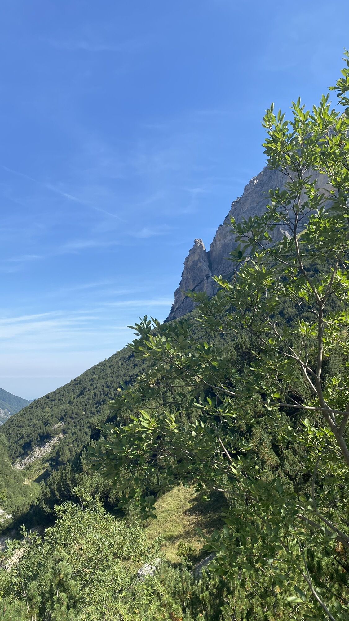
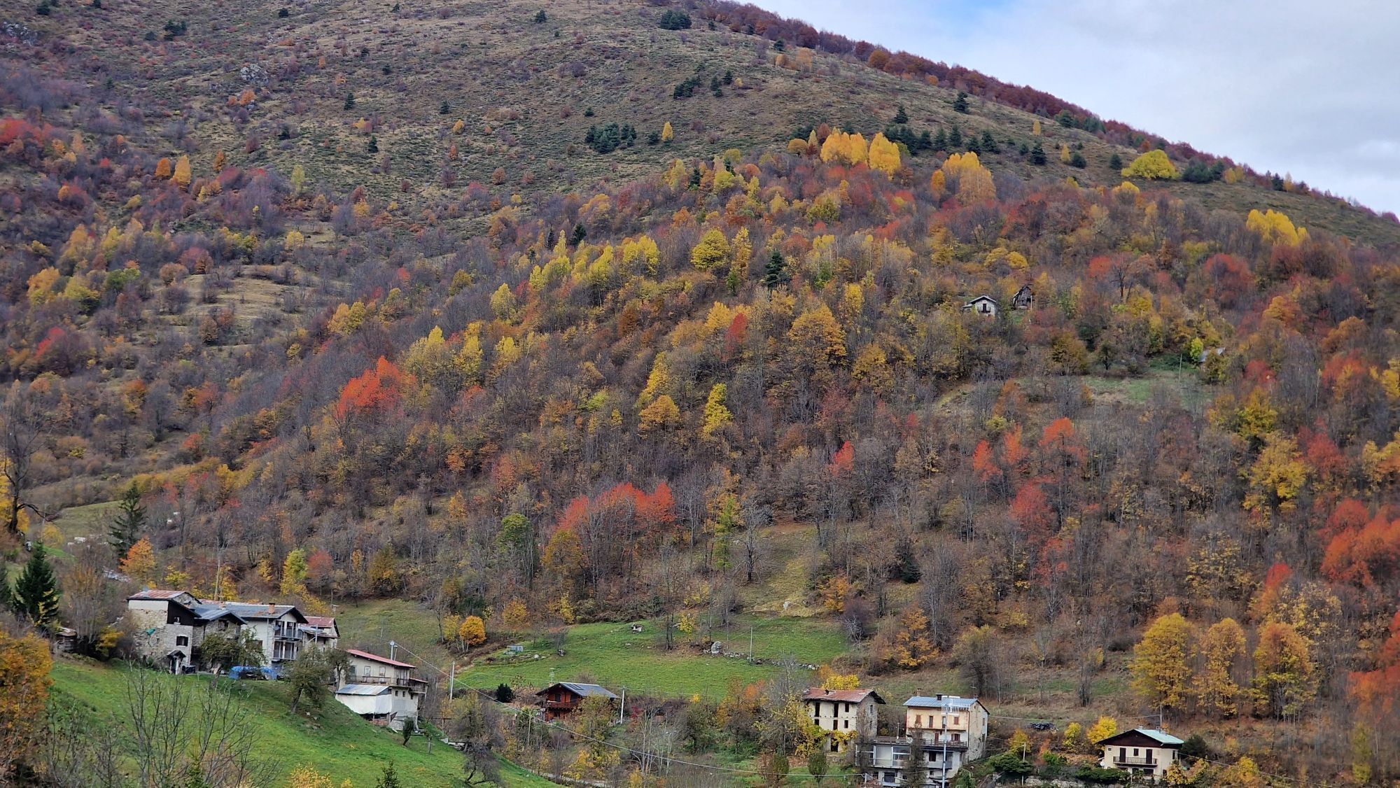
The history of Limone Piemonte revolves around the Colle di Tenda which allows access to the Roya Valley and the descent towards the sea. The road, used since Roman times, was for many years the main economy...
The historic center of the town is very beautiful, with cobbled streets, the small square of the Town Hall, overlooked by the Town Hall, the parish church of San Pietro in Vincoli, in Gothic style, and a beautiful fountain dating back to the 16th century, and in the adjacent streets stand the church of the Capuchin Convent of the 18th century, the ancient church of Sant'Antonio da Padova and the chapel of San Giovanni Battista from 1614.
In the 1900s with the development of skiing, the town grew as a tourist resort and today has become one of the most important ski resorts in the north-west, with its vast ski area, and since 2012 this history has been illustrated at the Agostino Bottero Ski Museum, set up inside the premises of the Civic Library, with the aim of collecting and passing on the great cultural heritage of skiing of the town.
The border line between Italy and France is drawn on the Colle di Tenda and it is precisely on the pass that the Maritime Alps end and the Ligurian Alps begin, towards which the spectacular ex-military road of over 30 km Limone-Monesi winds, today a great tourist attraction for bikers, cyclists and off-roaders with the name of Alta via del sale, built to connect the complex of nineteenth-century Savoy fortifications of the Colle di Tenda which is made up of 6 forts, the first and main one is the Colle Alto fort commonly called Forte Centrale, subsequently the other forts of the defensive line were also completed: Forte Giaura, Forte Pernante, Forte Margheria, Forte Taburda and Forte Pepino.
The “Railway of Wonders” Cuneo - Ventimiglia - Nice, which reached Limone in 1891, deserves a separate mention. It was designed in principle in the mid-1800s by the Savoy State and completed in 1928: the railway crosses the Vermenagna Valley, the Roya Valley, which passed to France in the painful post-war period with the Treaty of Paris in 1947.
The line, with its daring works of art, including bridges and spiral tunnels, and the landscapes it crosses in the Maritime Alps and Mercantour Parks, offers 100 kilometres of emotions on rails.


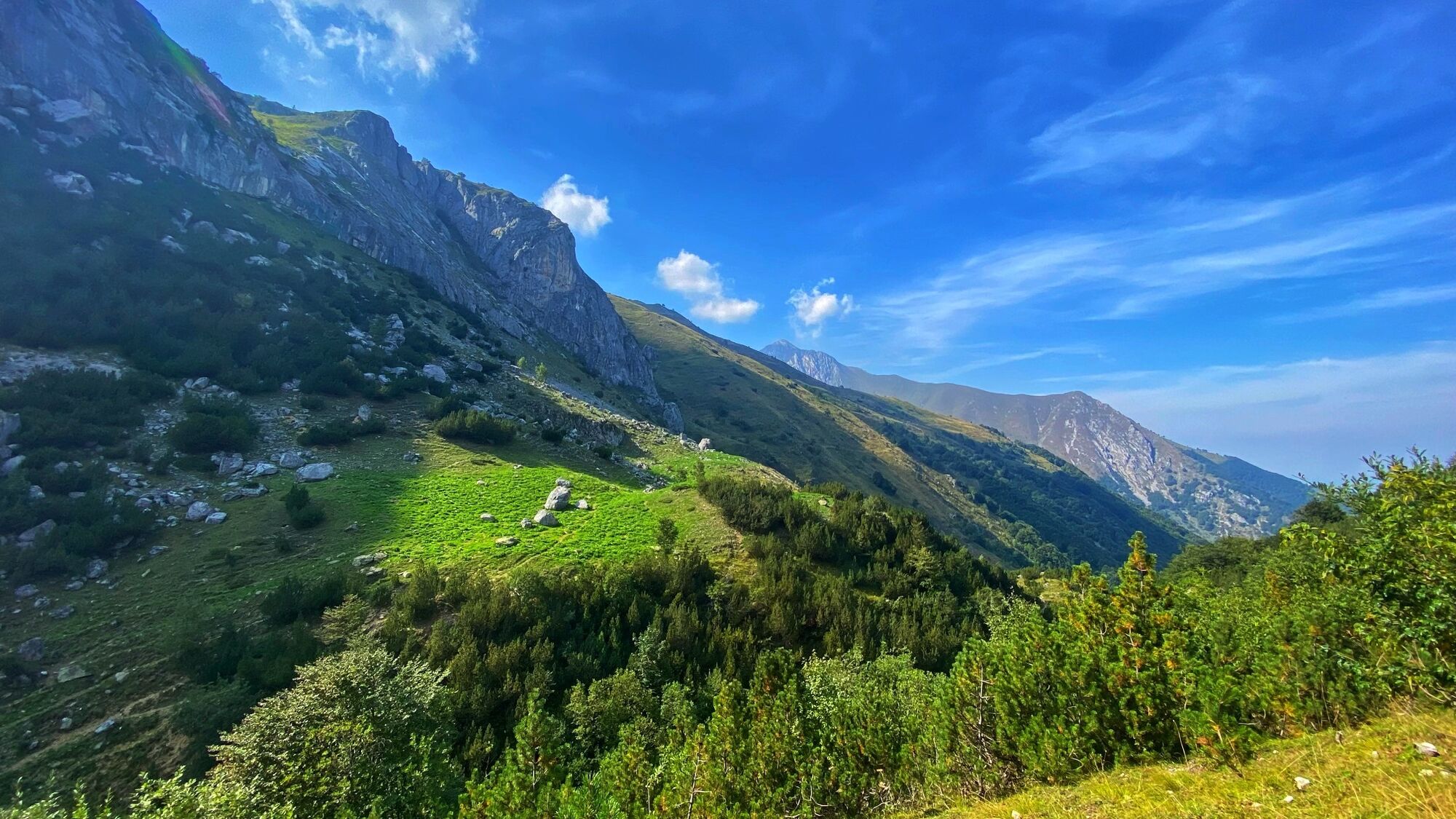
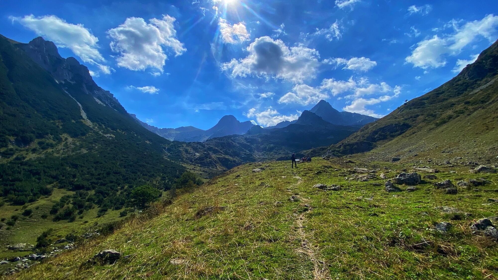
After passing a small stream, you leave a track on the left that descends towards the bottom of the valley, you pass two other streams and, exiting the wood, you reach Gias Piamian (1,432 m.), from here the mule track narrows; the path runs along a stretch halfway up the hillside high above the stream (Fontana al Gias Piamian).After passing another stream, the path forks: you have to abandon the old straight path, subject to landslides and falling material, which is why it was closed, and take the fork to the left, passing on the right orographic side of the valley, through the dry riverbed, which burrows into the ground further upstream. You climb inside the beech forest with fluid hairpin bends, then you cross halfway up the mountain pines and then you lower in altitude until you cross the dry riverbed again to return to the wide original path previously abandoned on the left orographic bank, which climbs in hairpin bends inside the beech forest. Once out of the forest you reach a saddle and you lose a little altitude to rejoin the valley floor. You then climb back up the Vallone degli Albergh with an initial stretch halfway up the hill on rocks and debris until you return to the level of the stream. At the well-marked crossroads, at an altitude of 1,800 m., for Passo della Mena / Lago Frisson, take the path on the left, signposted L12, towards Lago degli Alberghi / Passo di Ciotto Mien.
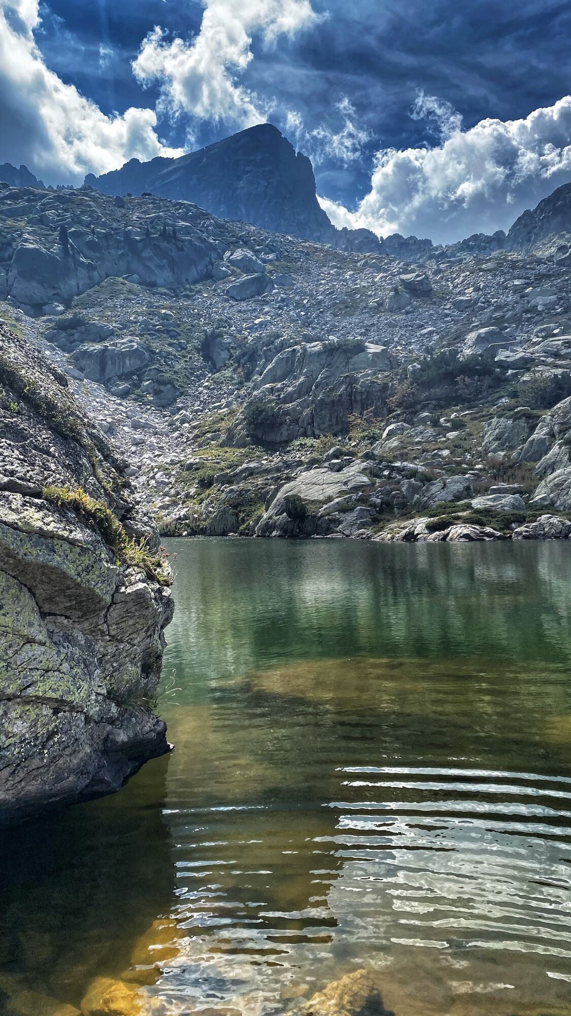
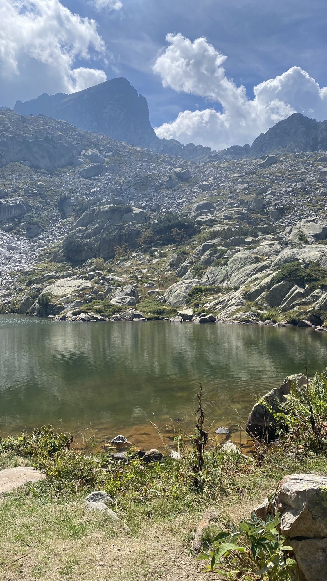
The path climbs the ridge in a mountain pine forest and reaches a grassy plateau, the Gias del Vilazzo, where you cross the small emissary of the Laghetto del Vilazzo (1,870 m.) on the left and continue to climb, passing a second ledge always inside the sparse pine forest and you arrive at another grassy plateau, under the crest of the Costa Lausea gullies, after which you quickly reach Lago degli Alberghi (2,038 m.) nestled in the basin in front of Monte Chiamossero, which with the previous one and the two Frisson lakes, completes the group of Palanfrè lakes, included in the territory of the Maritime Alps Park.
From the southern shore of the lake, you climb up the coast above the body of water and then vertically climb the scree with friable rocks to the east. The last section, a very steep and exposed traverse, is equipped with metal cables, but allows you to reach the Passo di Ciotto Mien (2,274 m.) on the watershed between the Valle Grande di Vernante and the main branch of the Valle Vermenagna.
From the pass, you descend to the east and the L12 path crosses the steep slopes and meadows, bending around the reliefs, and then continues almost straight, descending into the valley, with some steep sections among the tracks of the mountain cattle. After passing a small grassy basin, past the junction of the L23 paths for the Lago dell’Oro and L28 for the Passo delle Giosolette, you arrive at the ruins of a mountain refuge, the classic “gias”, (1,875 m.).
You cross a small stream and continue to descend decisively along the path, and near a large grassy meadow, you reach Pian Madoro (1,765 m.), here you take the agro-forestry pastoral track that reaches the Ciabot di Pedù (1,665 m.). You continue along the dirt road that descends for a long time to an altitude of 1,410 m, where it joins a small asphalt road: following it downhill you arrive at the village of Limonetto (1,284 m.), also called Gä verbally, and Guado dei Toselli on the maps, which seems to have been an ancient camp for the Saracens, given that it was reachable thanks to the Roman road that connected the Vermenagna Valley to the Roya Valley passing through the Colle di Tenda.Once you leave Limonetto, you take this itinerary leaving the provincial road, descending to the SS.20 of the Colle di Tenda and arriving in Piazza San Sebastiano. The best preserved stretch is the one that from the sixth bend leads to the meadows of San Lorenzo where it is still possible to observe the construction technique of paving and masonry with the use of large pebbles. About two thirds of the way between Limonetto and the meadows of San Lorenzo there is still a milestone that marks the fifth mile. Once you arrive in Limone Piemonte (1,010 m.) you can reach the railway station
www.marittimemercantour.eu/visita/mobilita/treno-delle-meraviglie
T2
The “Gias” and the Alpine pasturesThe Vilazzo and Alberghi lakesThe Ciotto Mien PassLimonetto and the Roman RoadLimone Piemonte and its historic centreThe Tenda Pass, the fortification complex and the “Alta Via del Sale”The railway of Wonders, the Cuneo-Ventimiglia-Nice
Spletne kamere s turneje

Priljubljeni izleti v okolici
- 5,0
AVU Alta Via dei Lupi | Stage 7 San Giacomo di Entracque - Ellena-Soria refuge
srednjaPohodništvo 6,15 km The Madonna of Fenestre - San Giacomo di Entracque / Pagarine route (stage 7)
srednjaPohodništvo 13,3 km- 5,0
Goldtoni - Alpenbogen A104 Refuge des Merveilles-Refuge de la Modena de Fenestre
srednjaPohodništvo v daljavo 18,6 km - 5,0
Goldtoni - Alpenbogen A105 Refuge de la Modena de Fenestre-Refugio Morelli Buzzi
srednjaPohodništvo v daljavo 24,8 km - 4,5
Historic Mountain Routes | Strada del Pagari
težkoPohodništvo 11,3 km Historic Mountain Streets | Madonna delle Finestre Road
srednjaMountainbike 10,6 km- 5,0
Fontanalbe
srednjaGorski pohodništvo 14,2 km Tour of Marguareis Stage 1 | Pian delle Gorre - Garelli refuge
srednjaPohodništvo 7,34 km- 5,0
Historical Mountain Routes | Sabbione Road
težkoPohodništvo 11,9 km GTA: Stage 65 Rifugio Ellena-Soria - Trinit di Entracque
srednjaPohodništvo 20,3 km
Pohodništvo in sledenje


Ne zamudite ponudb in navdiha za naslednje počitnice
Vaš e-poštni naslov je bil dodan na poštni seznam.





