






Historical Mountain Routes | Sabbione Road
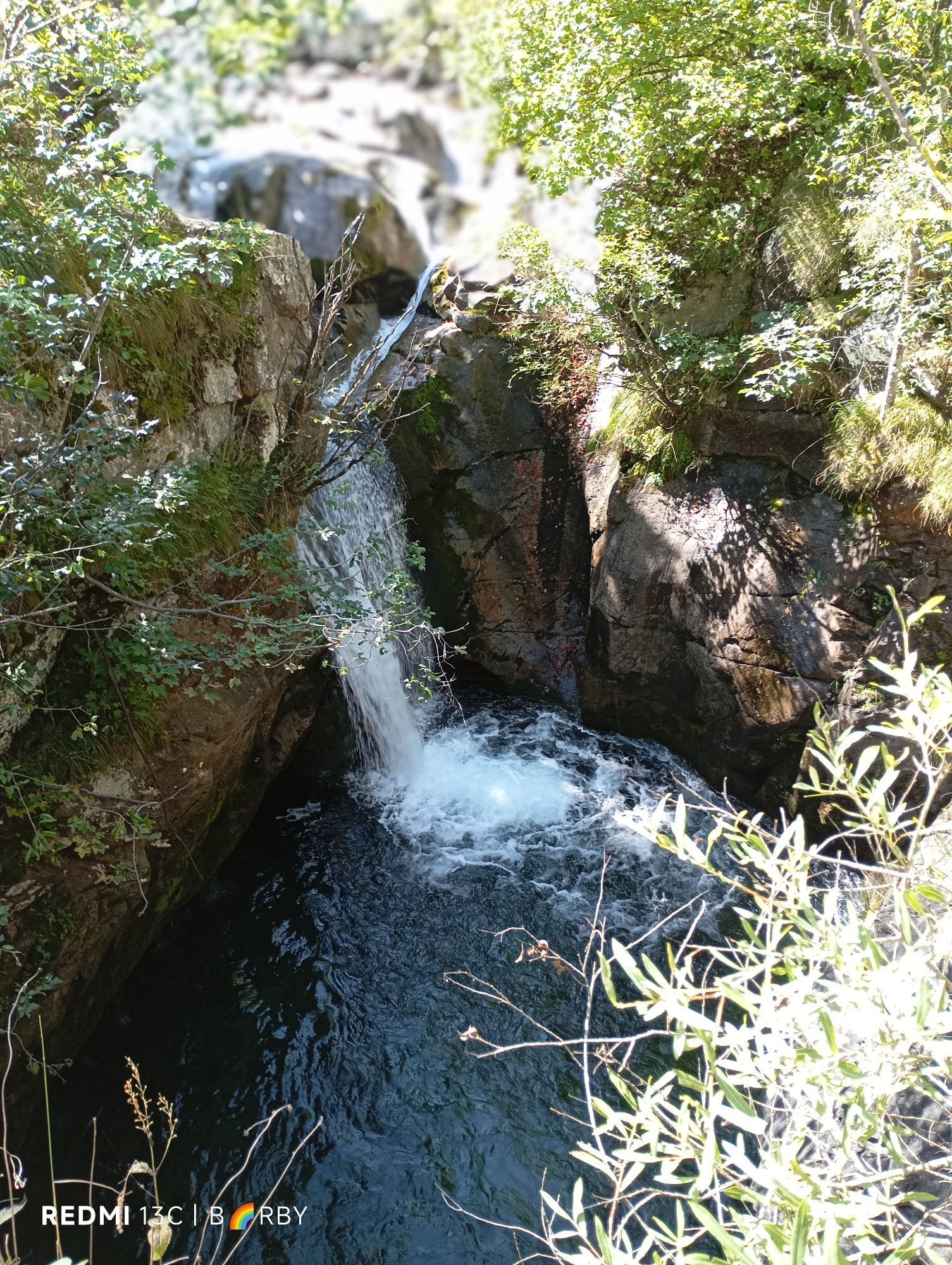
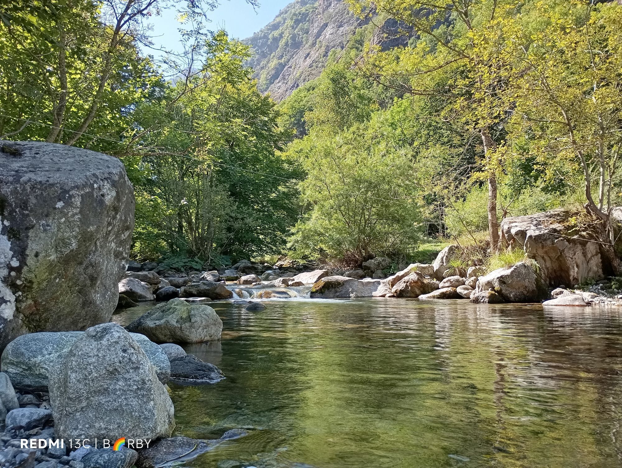
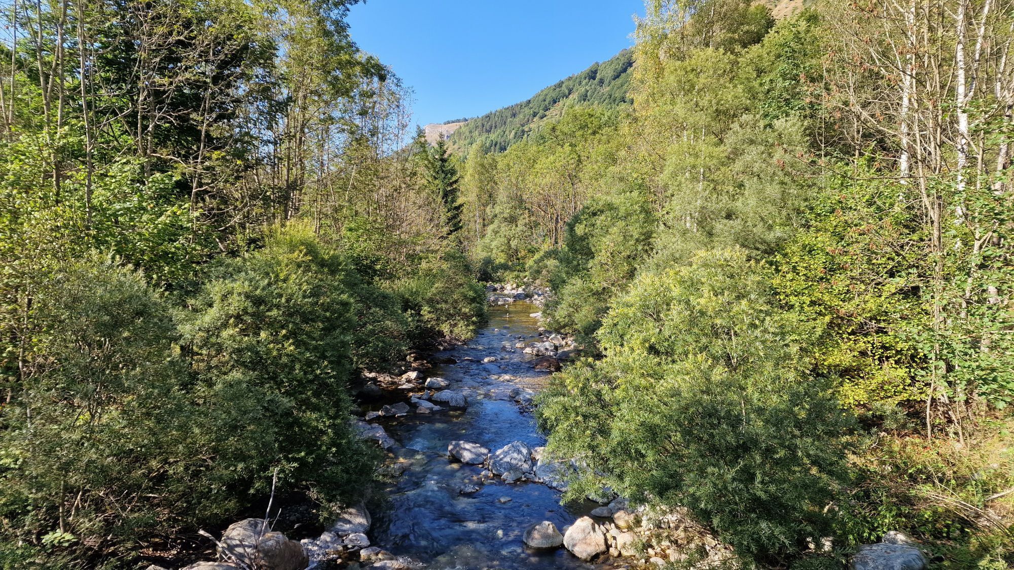
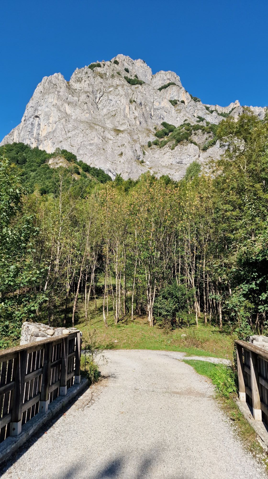

The lane is the most convenient way to access the Valley of Wonders, an ancient passage and home to over thirty-five thousand prehistoric rock carvings from the Copper Age and the ancient Bronze Age. Along...
The lane is the most convenient way to access the Valley of Wonders, an ancient passage and home to over thirty-five thousand prehistoric rock carvings from the Copper Age and the ancient Bronze Age. Along the route there are ruins of fortresses built mostly in the late nineteenth century and partly in the 1930s, partly built by the military for surveillance. The upper part of the Vallone del Sabbione was donated in 1857 to the Savoy royals who made it their hunting reserve, a territory now protected by the Maritime Alps Park.


The main dirt road goes up to cross the Vallone della Rua stream, always in a fresh mixed broad-leaved forest. Having neglected yet another forest track on the right, with a short climb you reach the Souffiet Bridge (1184 m). After passing the bridge, the road continues inside a forest predominantly of beech, alternating short flat stretches with slight climbs. You ignore a crossroads on the right that goes down towards Gias Blin and, a little further on, on the right the short branch to Gias d'Ischietto (1357 m.).
Beyond this last crossroads the road, now a narrow cart track, climbs more steeply into the beech forest and enters the Sabbione Valley, leaving the wide Ischietto Valley in front of it. At a hairpin bend, you ignore the branch that branches off to the right and, when the slope decreases in a narrowing of the valley, the small track reaches the banks of the stream. You soon reach Gias Valera (1540 m), where the valley opens up again and the path now continues on a wide and comfortable mule track. Having reached a crossroads not far from the Gias, ignore the small path that continues straight towards the Mena Pass (trail sign M24), and go down to the right to cross the stream on a large wooden bridge (still signpost M05). Traced between meadows and rocks with stones embedded in the meadow ground, the comfortable mule track effortlessly reaches the Gias dell'Adreit (1643 m.).
Now on the path there is a long traverse on pasture slopes dotted with debris, with always moderate gradients; some hairpin bends go up a meadow ridge and then with a short hill climb you reach the edges of the basin where the ruined Gias della Culatta is located. After crossing a small stream, the path descends towards the center of the valley, crosses the stream that flows in the valley floor and begins a climb with steep hairpin bends on the right orographic side of the valley.Around 2080 m, you ignore a very unclear (and unsignalled) track that branches off to the left towards the Colle Est del Sabbione; it then turns south-west with smaller slopes, at the foot of rocky walls, with a long traverse between shrubby vegetation.
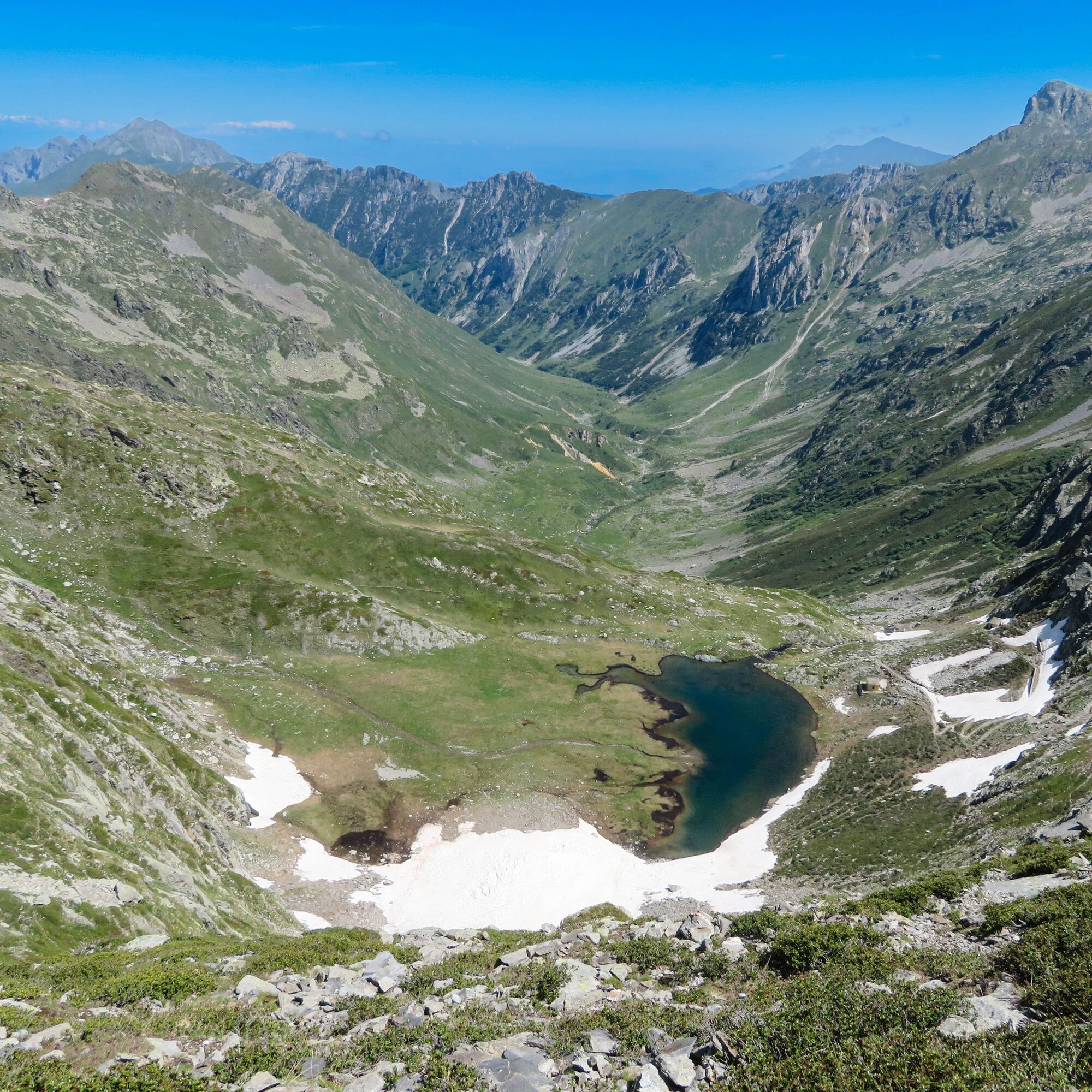
The traverse, interrupted only by a couple of hairpin bends, leads directly to Lago della Vacca (2260 m), nestled in a meadow basin right at the head of the Vallone del Sabbione. Near the outlet of the lake, ignore the branch to the Colle del Vei del Bouc on the right (trail sign M23) and keep to the left: after having reached the recent Speranza bivouac (2268 m), you go up the few comfortable bends that lead to the near Colle Ovest del Sabbione (2328 m.).
Da
Da
The road is closed to vehicular access from the starting point in San Giacomo. In winter, access is prohibited due to snow and access is only possible on foot, skis and snowshoes from the Piastra Dam.
Those travelling on the A6 Torino - Savona motorway can take the Cuneo exit and then follow the signs for Cuneo and Borgo San Dalmazzo.
Distances
25 km from Cuneo, 90 km from Asti, 110 km from Turin, 165 km from Genoa, 120 km from Savona, 240 km from Milan, 90 km from Monaco (Monte Carlo), 130 km from Nice (France) via Ventimiglia - Colle di Tenda (currently closed)
25 km - Stazione FFSS - Cuneo 16 km - Stazione FFSS - Borgo San Dalmazzo; then: car, taxi, scheduled service 'Autolinee Nuova Benese s.r.l.
www.trenitalia.it
By plane
41 km from Cuneo airport (Levaldigi), 141 km from Turin airport (Caselle Torinese), 159 km from Genoa airport - "Cristoforo Colombo", 140 km from Nice airport (F) - "Nice -Côte d'Azur"
By Bus
Autolinee Nuova Benese
www.benese.it
The road is closed to vehicular access from the starting point in San Giacomo. In winter, access is prohibited due to snow and access is only possible on foot, skis and snowshoes from the Piastra Dam.
Remains of military buildings in the vicinity of Lago della Vacca and Colle Ovest del Sabbione.
Tunnels leading to firing stations and caves that housed the troops.
Valley of Wonders with rock engravings


Priljubljeni izleti v okolici
-
The Salt Roads: The Pagarine Route
srednjaPohodništvo v daljavo 159.7 km -
5.0
AVU Alta Via dei Lupi | Stage 7 San Giacomo di Entracque - Ellena-Soria refuge
srednjaPohodništvo 6.15 km -
5.0
AVU Alta Via dei Lupi | Stage 8A Lake Brocan - Terme di Valdieri
srednjaPohodništvo 14.3 km -
The Madonna of Fenestre - San Giacomo di Entracque / Pagarine route (stage 7)
srednjaPohodništvo 13.3 km -
5.0
Goldtoni - Alpenbogen A105 Refuge de la Modena de Fenestre-Refugio Morelli Buzzi
srednjaPohodništvo v daljavo 24.8 km -
5.0
Goldtoni - Alpenbogen A104 Refuge des Merveilles-Refuge de la Modena de Fenestre
srednjaPohodništvo v daljavo 18.6 km -
Historic Mountain Streets | Madonna delle Finestre Road
srednjaMountainbike 10.6 km -
5.0
Historic Mountain Routes | Strada del Pagari
težkoPohodništvo 11.3 km -
San Giacomo di Entracque - Valdieri / Pagarine route (stage 8)
srednjaPohodništvo 19.6 km -
Fontanalbe
srednjaGorski pohodništvo 14.2 km
Pohodništvo in sledenje


Ne zamudite ponudb in navdiha za naslednje počitnice
Vaš e-poštni naslov je bil dodan na poštni seznam.





