






Hiking around Oberhelfenschwil
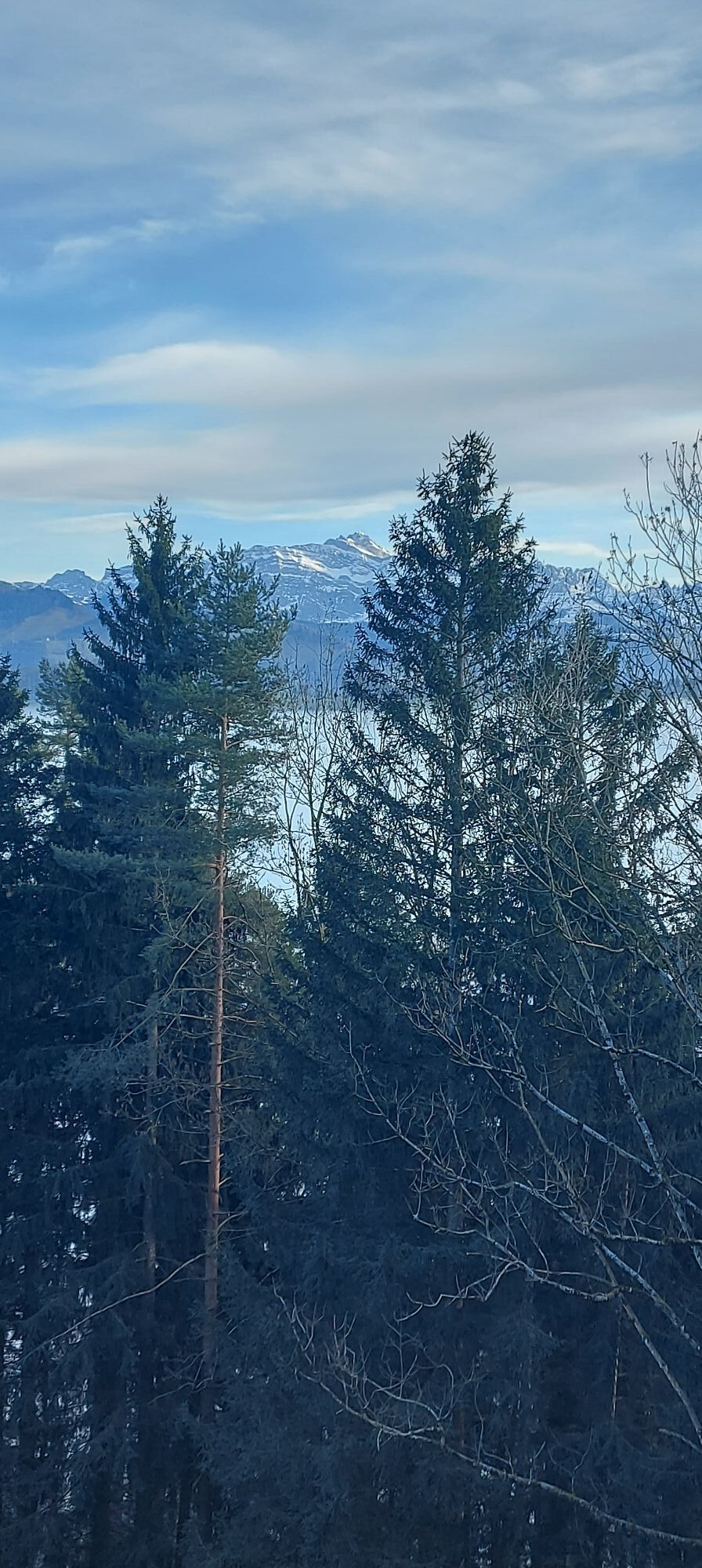
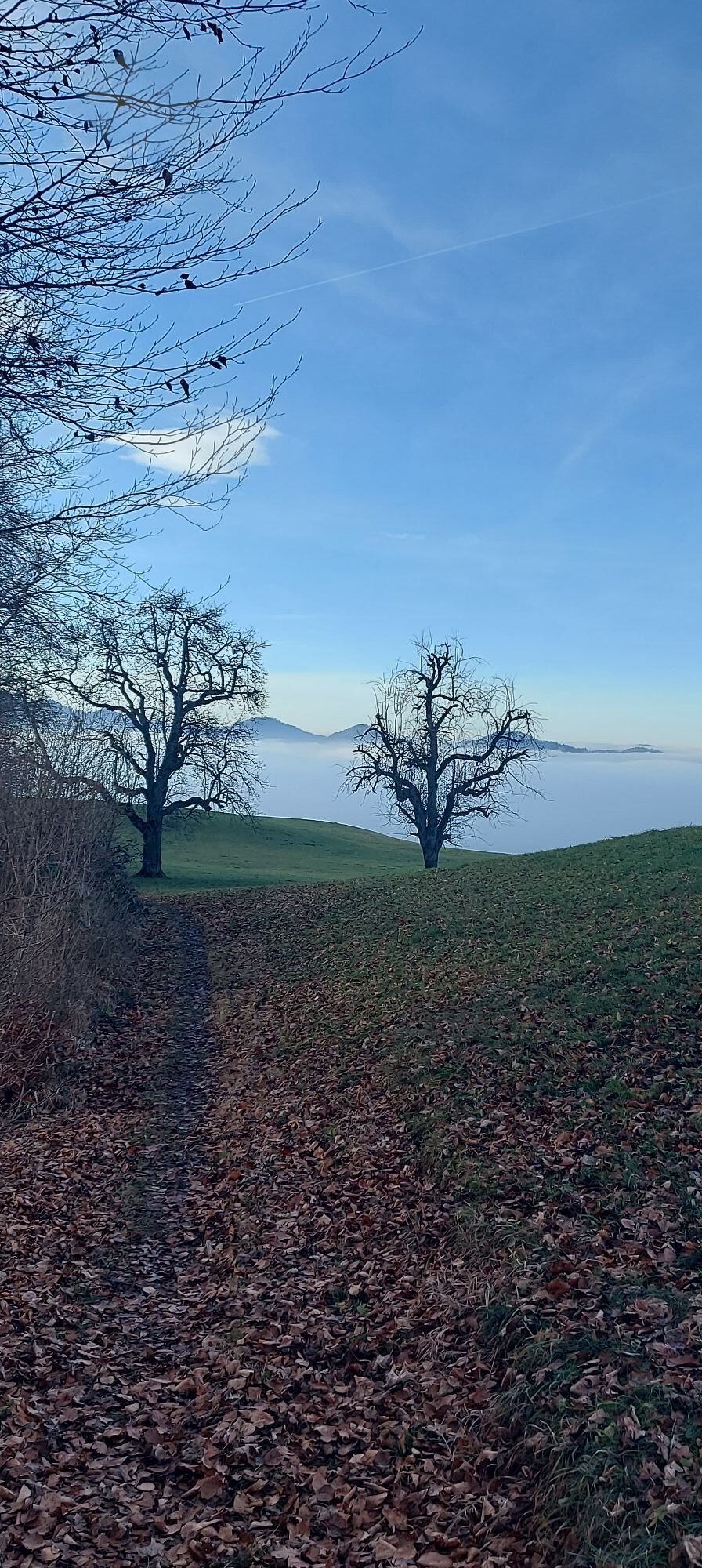
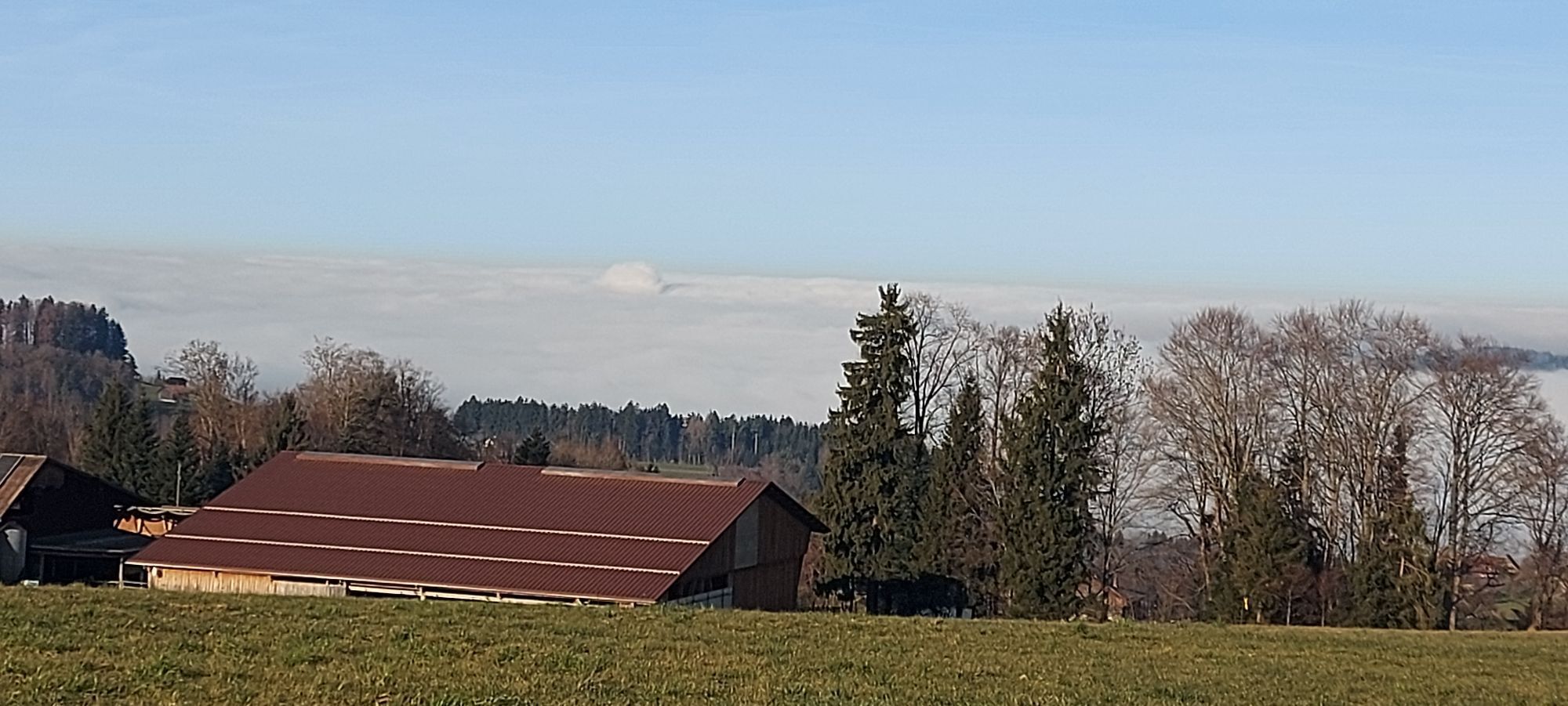
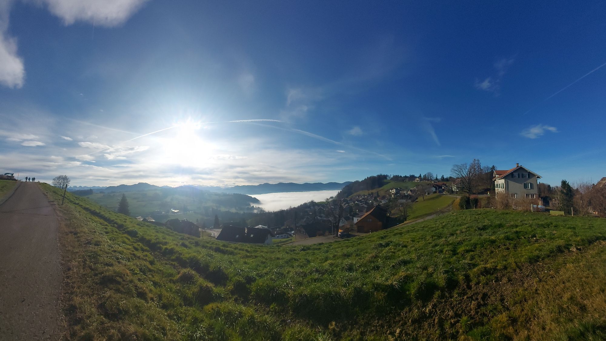
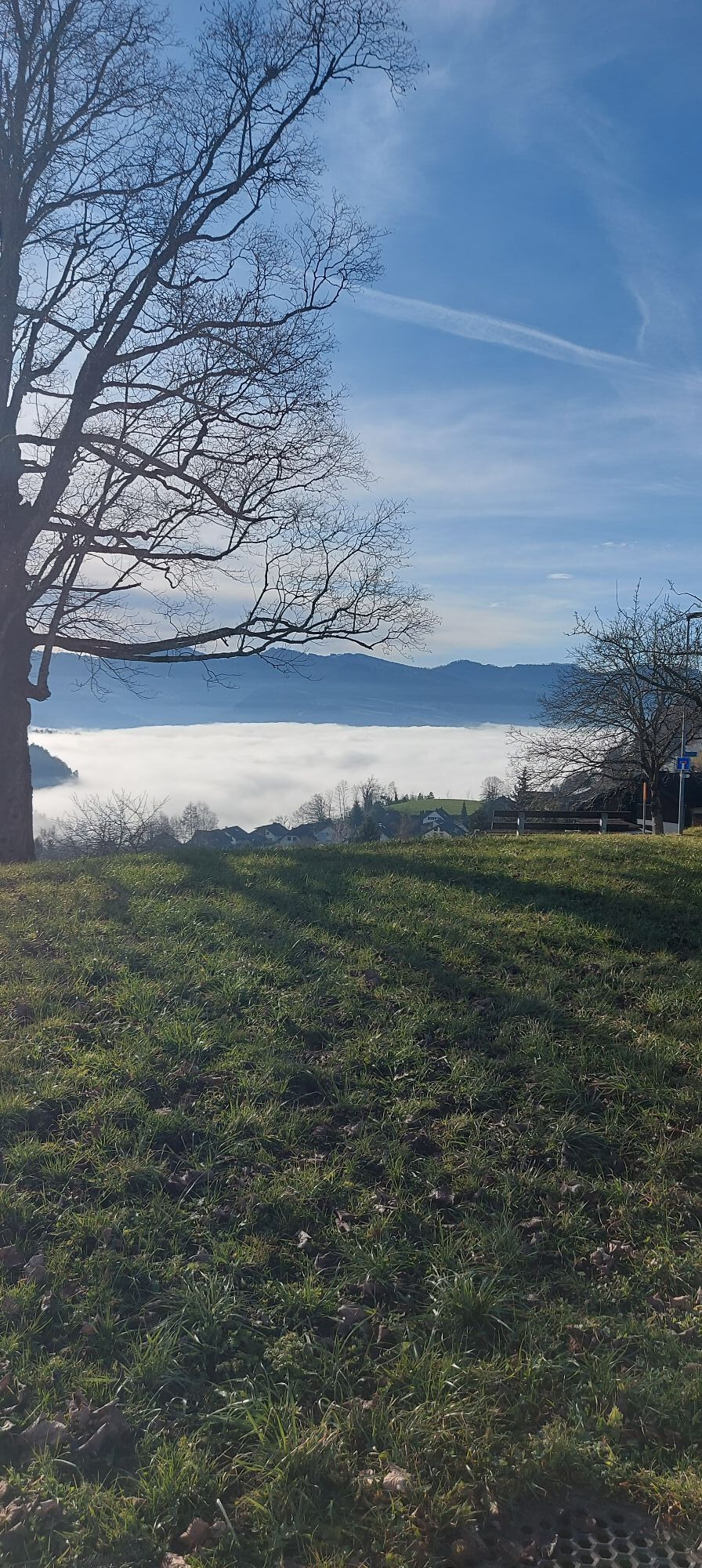
A great hike between meadows and forests awaits you. A wonderful view over the landscape awaits you. For your physical well-being, you will find two different grill areas equipped with everything on the...
A great hike between meadows and forests awaits you. A wonderful view over the landscape awaits you. For your physical well-being, you will find two different grill areas equipped with everything on the way. Or treat yourself to the Restaurant Frohe Aussicht. The highlight is at the Kreuz viewpoint. Its seating areas invite you to linger.
Look forward to a scenic circular hike in Oberhelfenschwil.


The circular hike begins below the village shop Volg in Oberhelfenschwil. The path leads you along the south slope before it gently climbs to Hinterhöög. You then continue following the path past meadows and forests. You walk through the Höggwald until you reach the Restaurant Frohe Aussicht. You continue along the road, discover a wonderful vegetable garden on the right side until you arrive at the Kreuz hill.
From there, the path leads you past the school and through the residential area back to the starting point.
Da
light day backpack (approx. 15 liters) with rain cover, comfortable footwear, weather-appropriate clothing, sun and rain protection, if necessary provisions and drinking water, if necessary city map
From Wil, drive via Lichtensteig and Brunnadern. Continue to the village of Necker, where you take the left turn to Oberhelfenschwil in the center.
From St. Gallen, take the route via Herisau, Schönengrund, and St. Peterzell to Brunnadern. Continue to the village of Necker, where you take the left turn to Oberhelfenschwil in the center.
You take the train connection via St. Gallen or Wil to Brunnadern station. From there, a post bus to Oberhelfenschwil departs hourly. At the Dorf stop, the starting point of the circular hike awaits you.
Across from the Restaurant Dorfplatz on Dorfstrasse, there are enough free parking spaces available for you.
Toggenburg Tourism
Hauptstrasse 104
9658 Wildhaus, Switzerland
+41 71 999 99 11
info@toggenburg.swiss
www.toggenburg.swiss
At the Kreuz viewpoint and Geissberg, two grill areas invite you to linger.
Pridobite vpogled
Vedno v živo na mestu z več kot 9.500 spletnimi kamerami. bergfex Kot uporabnik Pro si lahko zdaj ogledate ustrezne spletne kamere za številne izlete v aplikaciji izleti iz. Tako si lahko neposredno ogledate trenutne razmere.
Priljubljeni izleti v okolici
-
4.3
Schnebelhorn Rundwanderung
srednjaPohodništvo 11.9 km -
3.2
Winter hike at the Hulftegg
svetlobaZimsko pohodništvo 7.39 km -
4.5
Hulftenegg - Hörndli
svetlobaZimsko pohodništvo 6.98 km -
4.5
Hike from Ebnat-Kappel to Tanzboden
srednjaPohodništvo 14.5 km -
Hike from Hemberg to the Ofenloch
srednjaPohodništvo 10.9 km -
4.3
Steg-Schnebelhorn
srednjaPohodništvo 17.9 km -
4.7
Hike at Hulftegg
svetlobaPohodništvo 7.42 km -
4.0
Schönengrund - Hochhamm - Schönengrund
srednjaPohodništvo 9.51 km -
4.0
Ski route to Tanzboden
srednjaSmučarska tura 6.89 km -
4.3
Bauma - Chlihörnli - Hörnli - Steg
srednjaPohodništvo 10.3 km

Pohodništvo in sledenje


Ne zamudite ponudb in navdiha za naslednje počitnice
Vaš e-poštni naslov je bil dodan na poštni seznam.





