


Hike from Ebnat-Kappel to Tanzboden
The route starts at Ebnat-Kappel station and then leads up over Büchel and Nestenberg to Nestel. It continues along a natural path to Tanzboden, where from the summit there is a breathtaking view from...
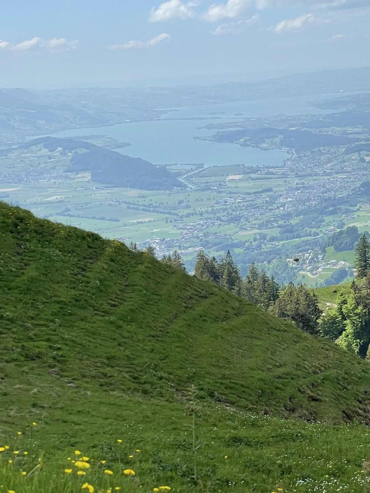
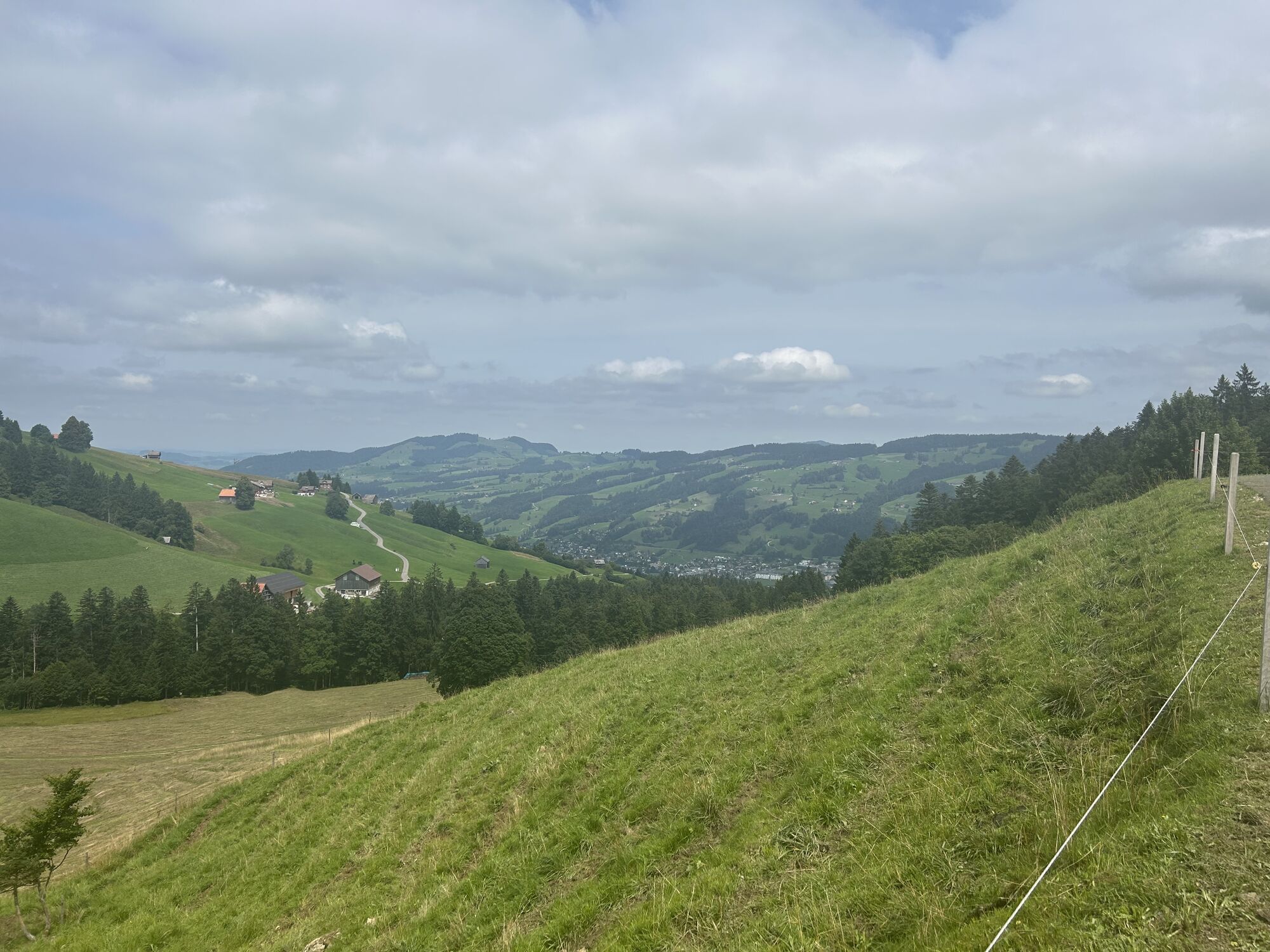
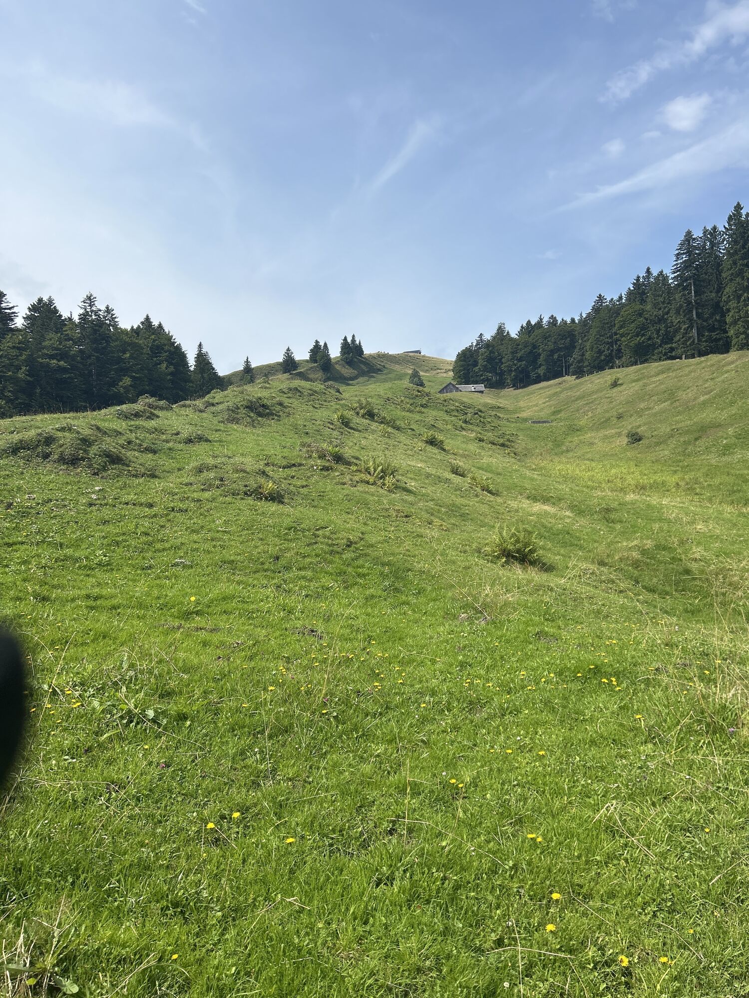
The route starts at Ebnat-Kappel station and then leads up over Büchel and Nestenberg to Nestel. It continues along a natural path to Tanzboden, where from the summit there is a breathtaking view from Lake Zurich over the Churfirsten and the Säntis massif across the entire Toggenburg far into the Alpine foothills. The descent first leads to Chüebodenegg and past Gubelspitz to Stotzweid. From there it goes gently uphill through the Bächen forest to Oberbächen. The hiking trail then passes Unterbächen to Müslen and from there back to the village of Ebnat-Kappel.

Ebnat-Kappel - Büchel - Nestenberg - Nestel - Chüebodenegg - Gubelspitz - Stotzweid - Oberbächen - Unterbächen - Müslen - Ebnat-Kappel
Day hiking backpack (approx. 20 liters) with rain cover, sturdy and comfortable footwear, weather-appropriate and durable clothing in layers, if applicable telescopic poles, sun and rain protection, provisions and drinking water, first aid kit, pocket knife, mobile phone, if applicable headlamp, map material
The path is not specifically signposted. Please follow the general hiking trail signs.
- From the Zurich metropolitan area and central Switzerland:
Take the A3 at Reichenburg towards Rapperswil and then over the Ricken Pass to Ebnat-Kappel.
- From eastern Switzerland:
Drive from St. Gallen on the A1 to Wil, take the Toggenburg exit. Follow the main road to Ebnat-Kappel.
- From southern Germany:
Via Bregenz and St. Margrethen on the A13 to Haag and take the exit towards Toggenburg/Wildhaus. Or via Konstanz to Wil, then take the Toggenburg exit and follow the main road to Ebnat-Kappel.
Take the train to Ebnat-Kappel station.
More detailed information can be found at www.sbb.ch.
Parking spaces are available at the Ebnat-Kappel station.
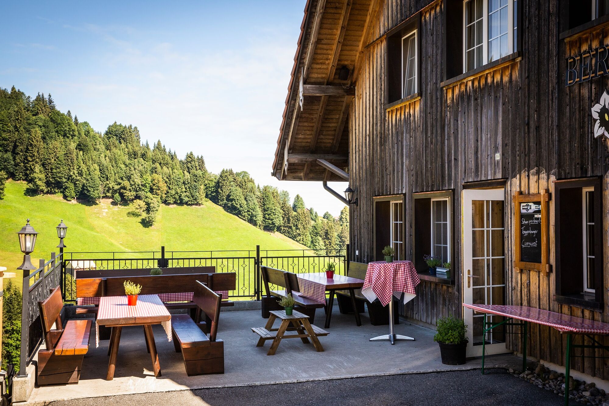
Alpine farm Oberbächen
Toggenburg Tourism
Hauptstrasse 104
9658 Wildhaus
Tel. +41 71 999 99 11
info@toggenburg.swiss
www.toggenburg.swiss
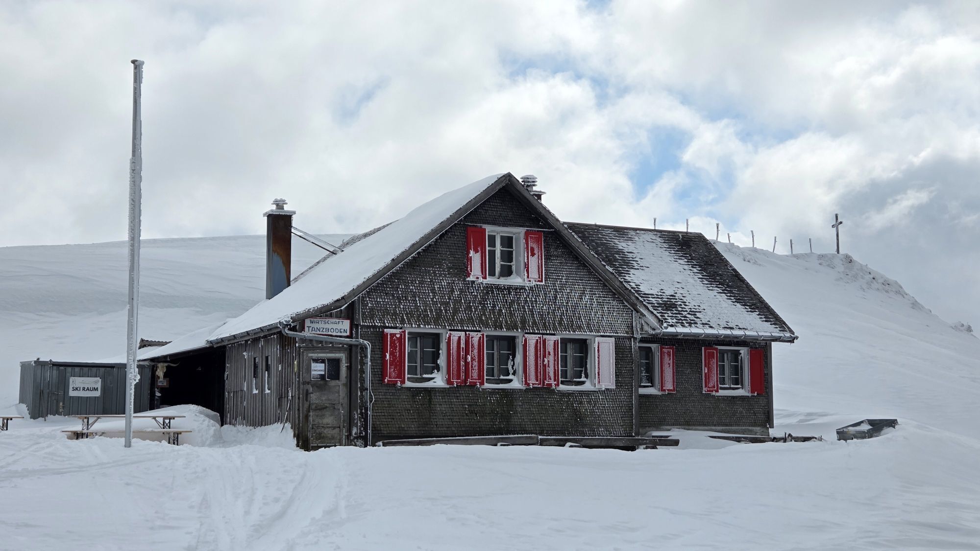
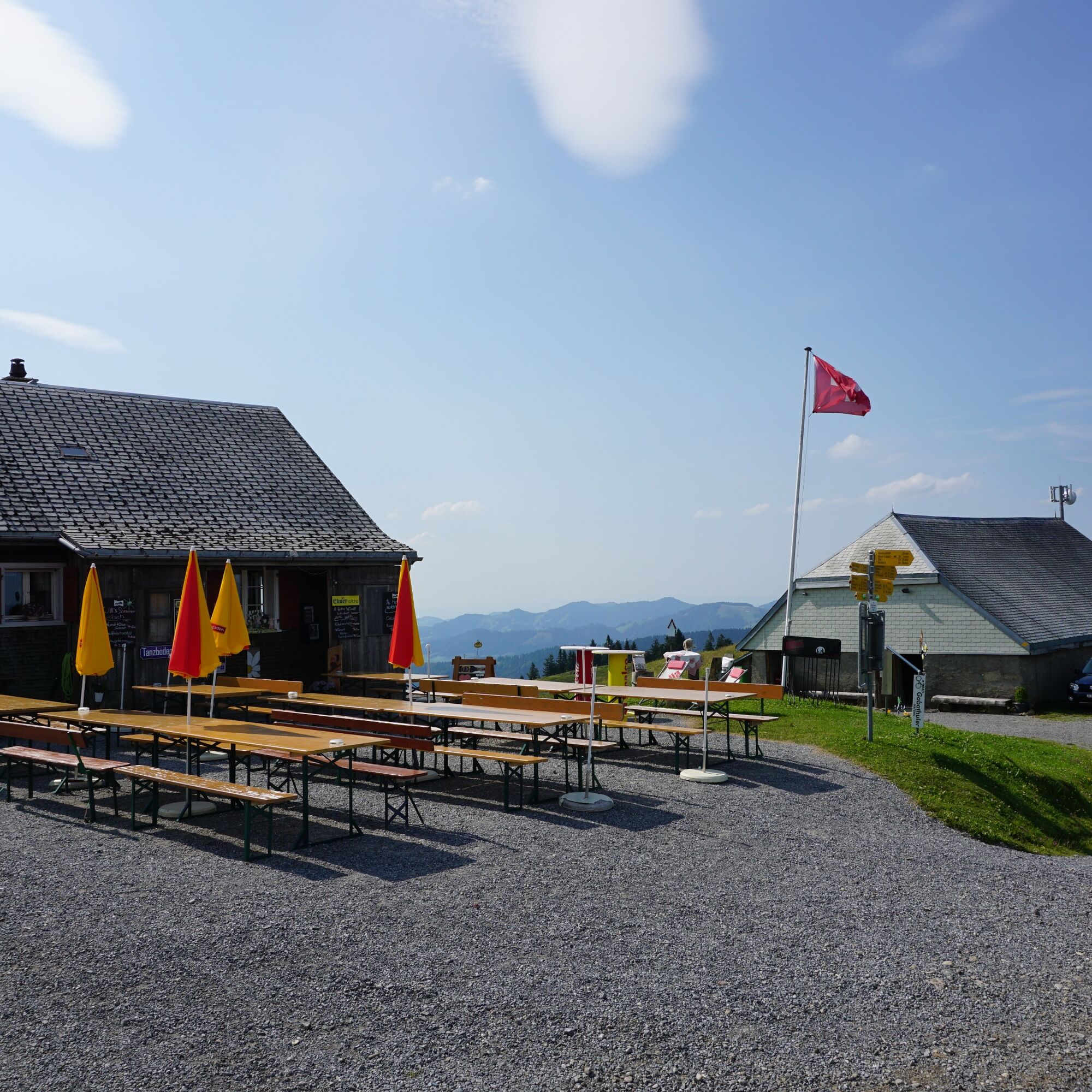
Enjoy a fine brunch with ingredients from the region and many homemade items on the first Sunday of each month at the Berggasthaus Nestel.
Priljubljeni izleti v okolici
-
4.7
Walensee Riviera Weesen - Quinten
srednjaPohodništvo 10.2 km -
4.5
Amden - Speer (Rundkurs)
svetlobaPohodništvo 17.6 km -
4.2
Schnebelhorn Rundwanderung
srednjaPohodništvo 11.9 km -
3.3
Seerenbach waterfalls
svetlobaPohodništvo 4.38 km -
5.0
Ski tour on the Selun
težkoSmučarska tura 11.8 km -
5.0
Chatzenloch hike with suspension bridge
svetlobaPohodništvo 5.91 km -
Walensee - Tour
težkoPohodništvo 26.6 km -
5.0
Hike from Unterwasser via Lake Gräppel to Alt St. Johann
srednjaPohodništvo 7.41 km -
Ski touring on the Stockberg
svetlobaSmučarska tura 6.51 km -
Wanderung von Hemberg zum Ofenloch
srednjaPohodništvo 10.9 km

Pohodništvo in sledenje


Ne zamudite ponudb in navdiha za naslednje počitnice
Vaš e-poštni naslov je bil dodan na poštni seznam.