







Hike from castle to castle in the Neckertal

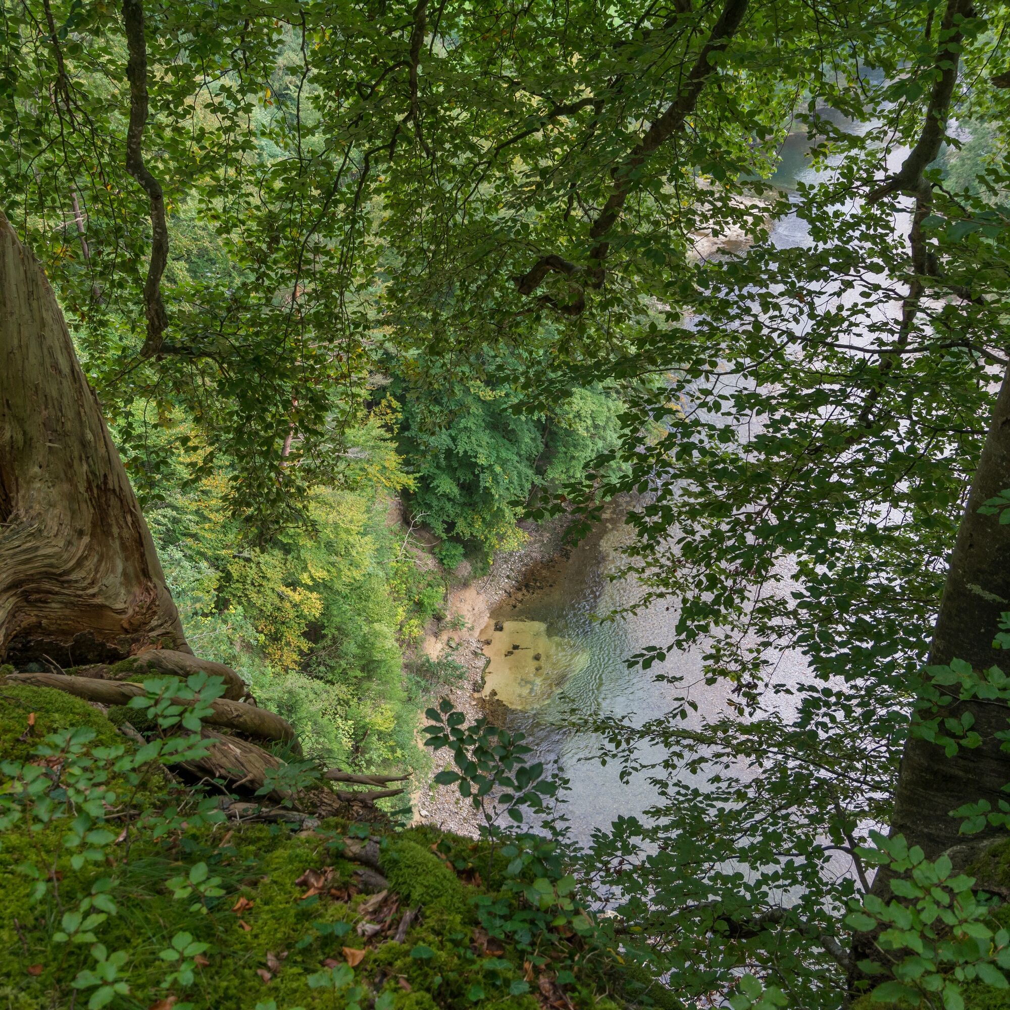
Rüberg lies, protected on three sides by steep slopes, east above the Thur. The castle ruin Rüberg was a castle for St. Gallen servants from the 13th century on a spur above the Thur. The still existing...
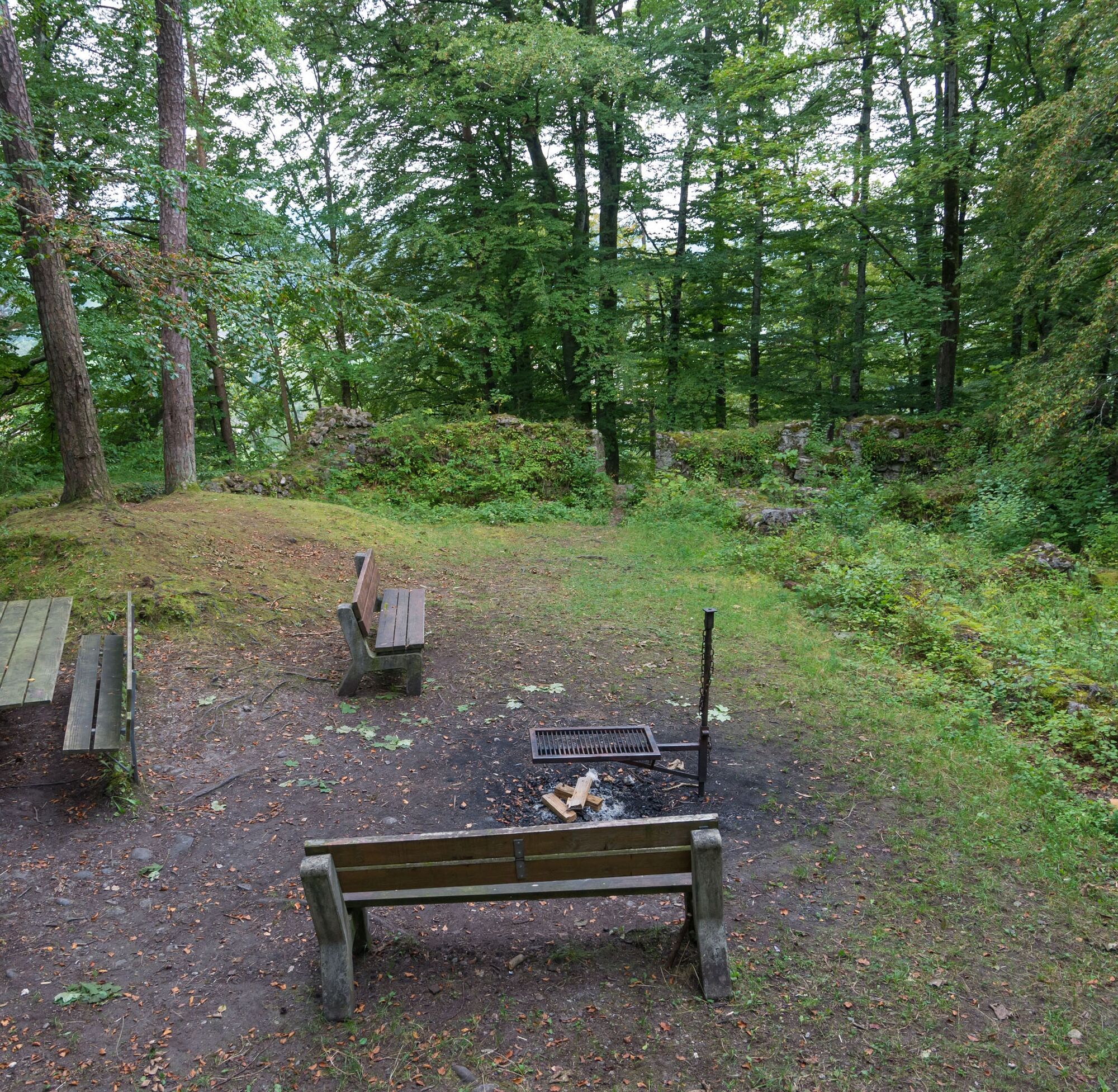
Rüberg lies, protected on three sides by steep slopes, east above the Thur. The castle ruin Rüberg was a castle for St. Gallen servants from the 13th century on a spur above the Thur. The still existing ruins show parts of the curtain wall, a residential wing and the foundations of the castle lined with Truff stone. In the middle of the forest is a fireplace with seating. But the ruin Neutoggenburg also offers interesting information.
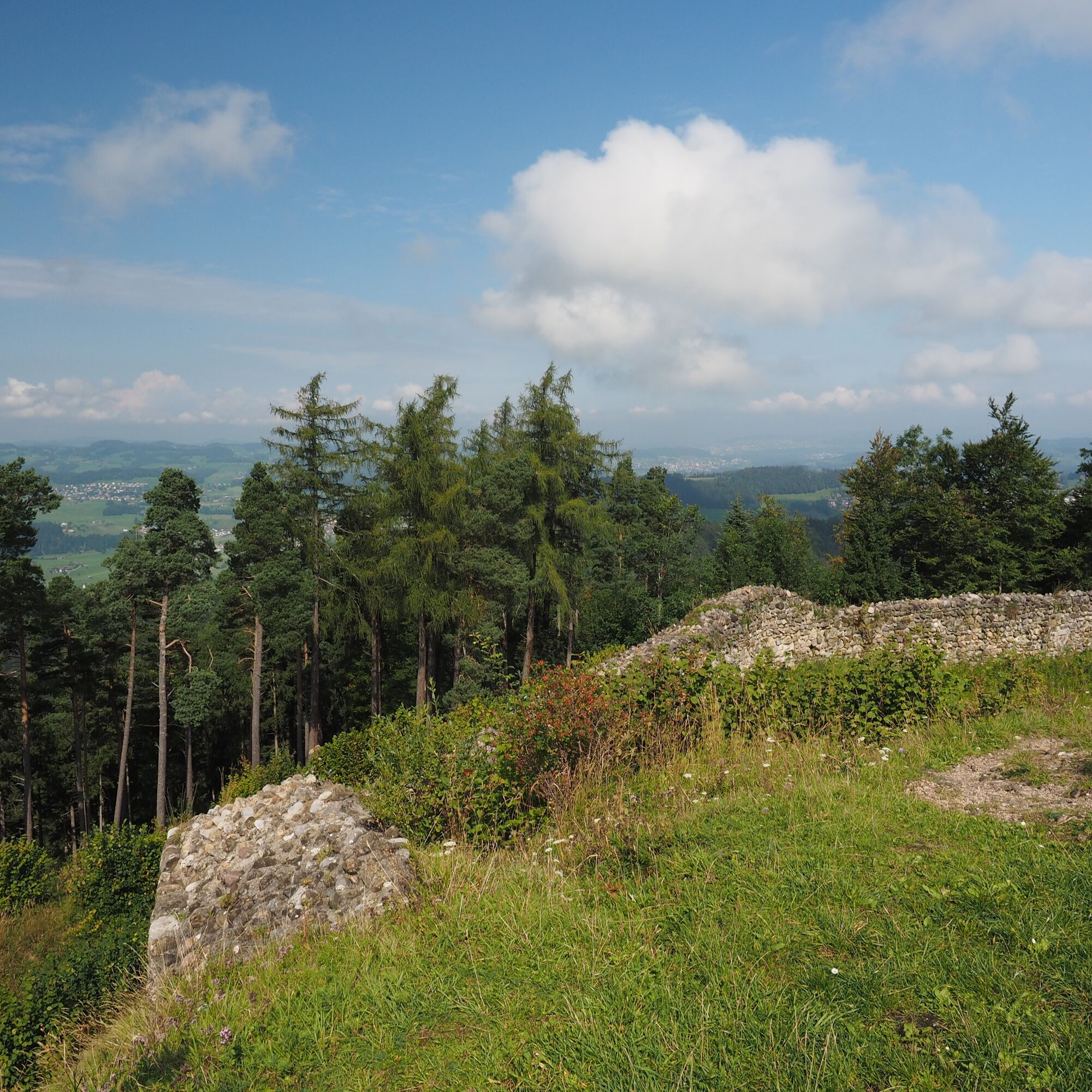
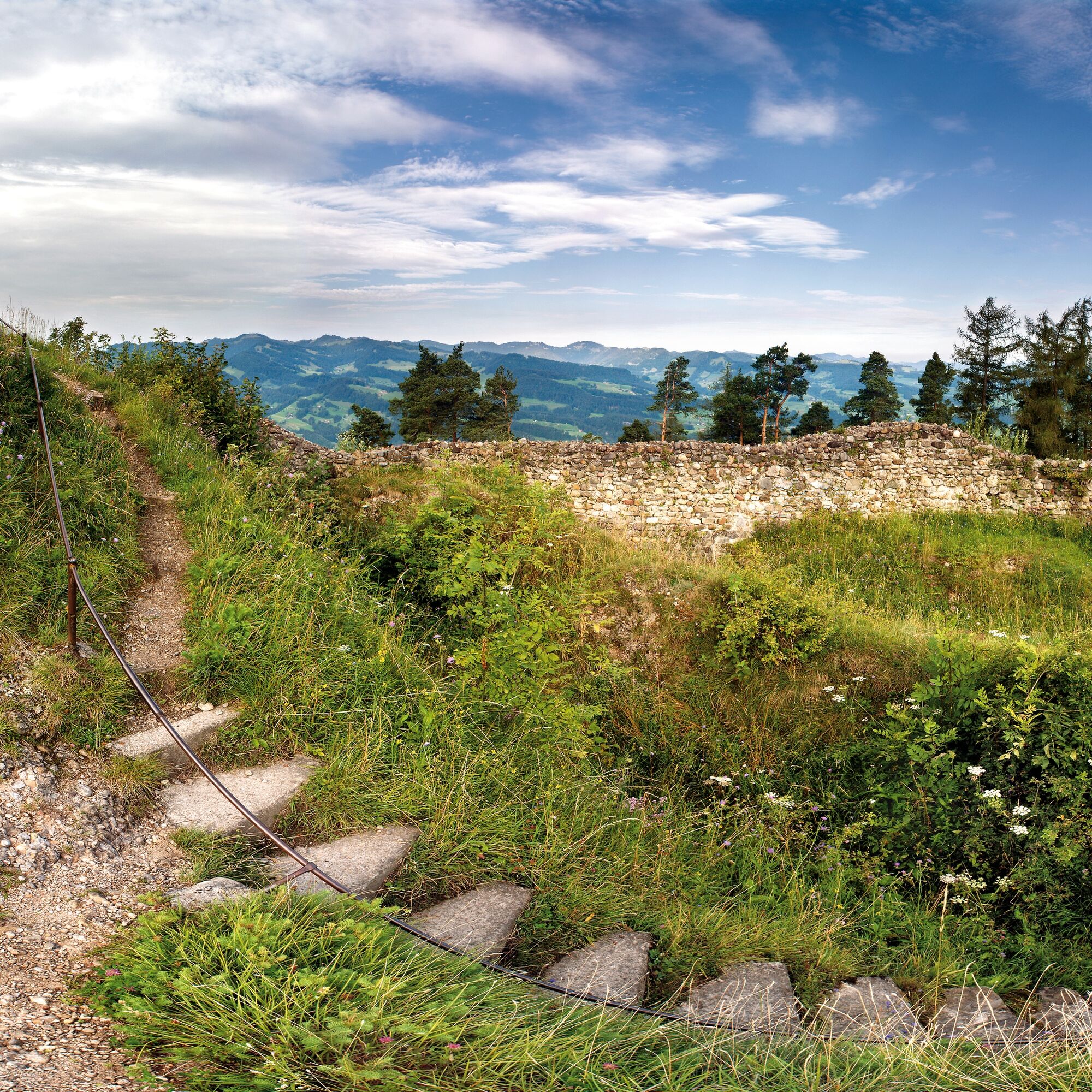
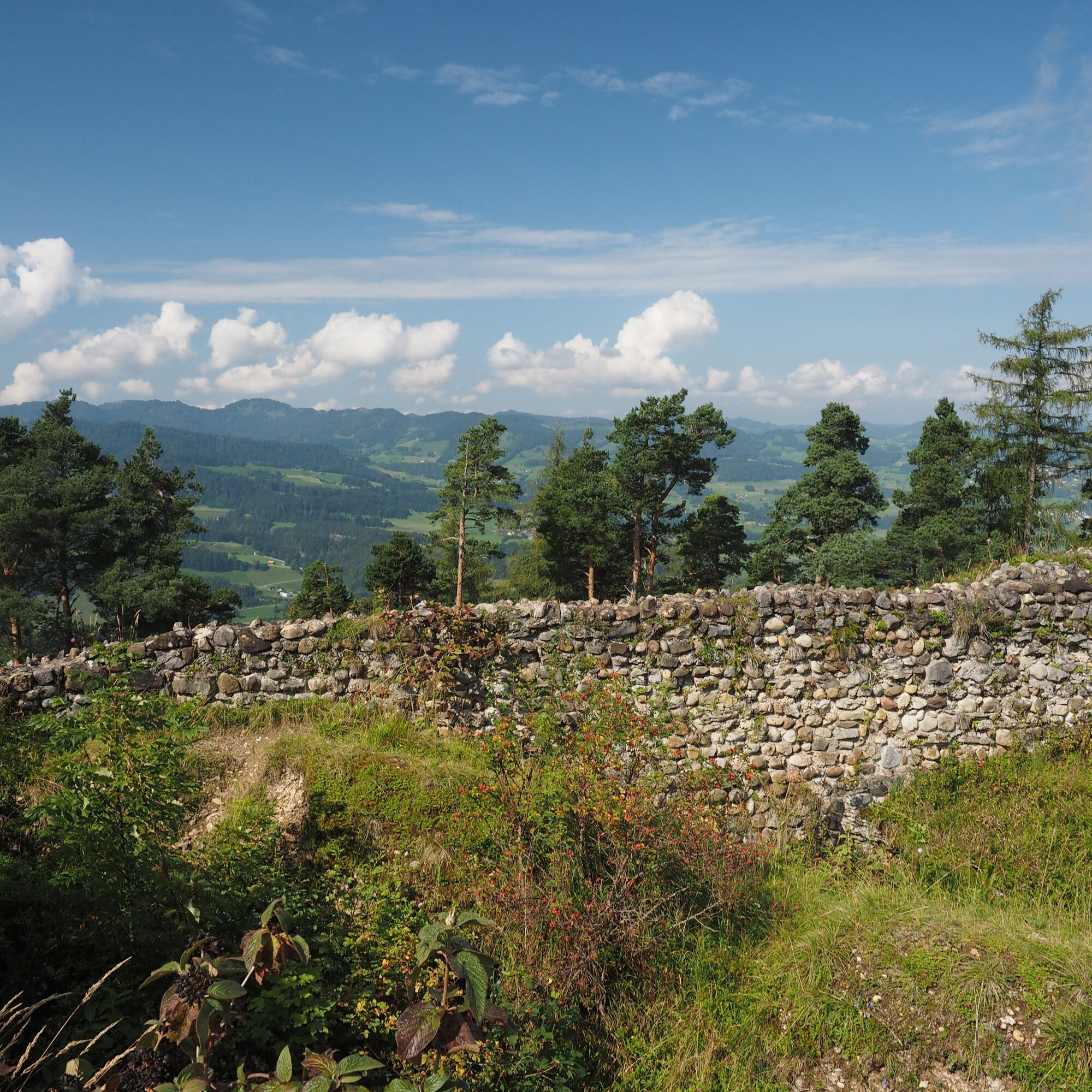
The extensive embankment and ditch system surrounded the ruin Neutoggenburg on the highest point of a mountain spur north of Wasserfluh. The former count’s castle from the late 12th century was excavated and conserved in 1936/37. Visible are the ring wall with the older castle gate, the foundations of the palace and traces of two cisterns. The castle hill hosts a variety of rare plant species and offers a view over the entire Toggenburg.

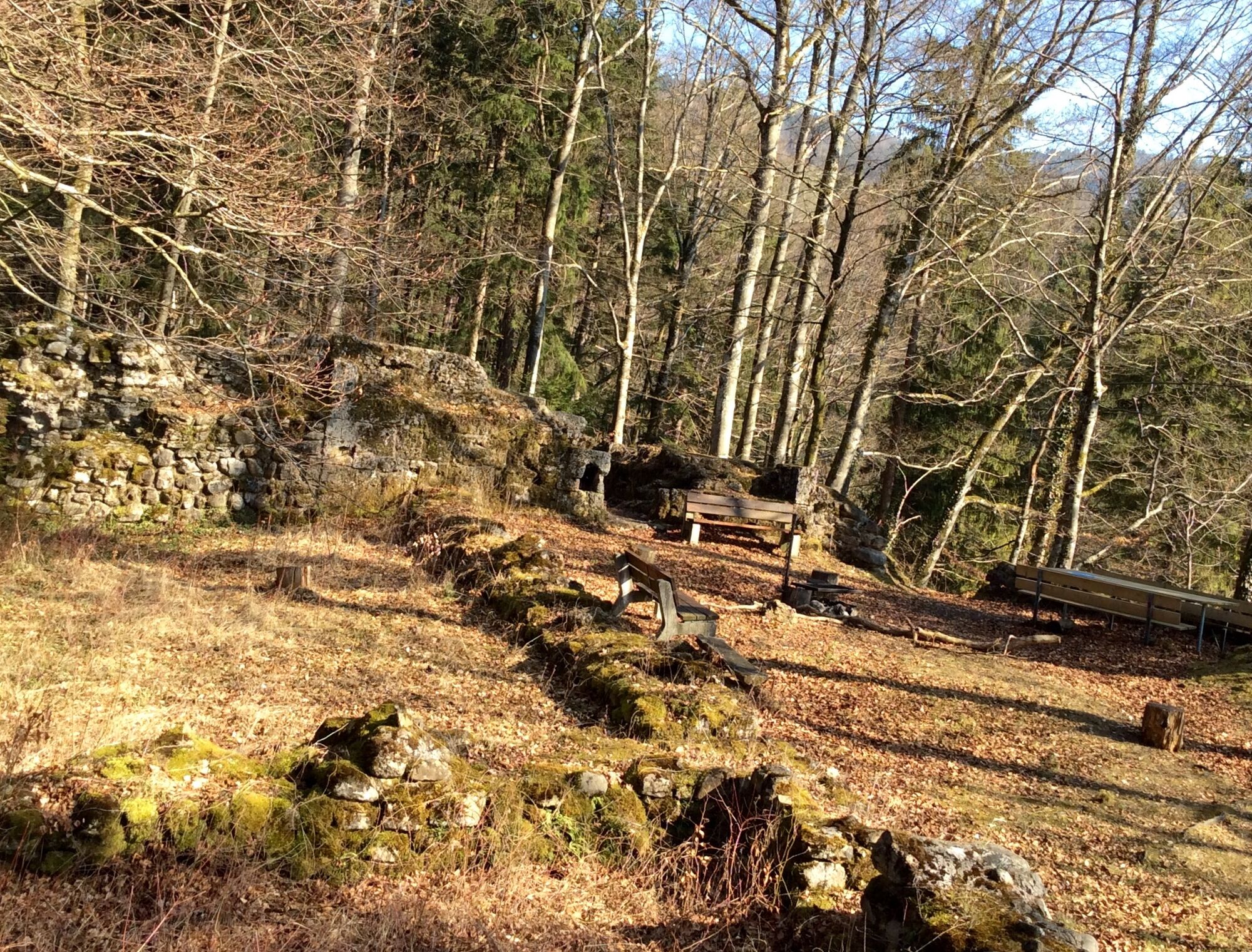

The start to the first ruin Rüberg begins in the village Oberhelfenschwil. The path leads towards Untergeissberg and Dietfurt. Until the path follows the Thur. There the ruin is already located. Further towards Wigetshof and a small ascent back towards the village Oberhelfenschwil, the path goes right towards Schwanden to the restaurant Weid-Hof where a break can be taken. The Weid-Hof is open from Friday at 2:00 pm until Sunday at 6:00 pm.
Now along the forest edge towards Schwanden, the path to the ruin Neutoggenburg is taken in the hamlet. In front of the ruin there is another fireplace. Through the forest, on the ridge in a forest clearing, the ruin Neutoggenburg is reached. A magnificent panoramic view of the Toggenburg awaits until the descent to Wasserfluh via Waldschwil, which leads to the endpoint at Brunnadern station.
Light day backpack (approx. 15 liters) with rain cover, comfortable footwear, weather-appropriate clothing, sun and rain protection, possibly provisions and drinking water, possibly city map
From Wil, the path leads via Lichtensteig and Brunnadern, continuing to the village Necker where you take the turn left in the center to Oberhelfenschwil.
From St. Gallen, the path leads via Herisau, Schönengrund and St. Peterzell to Brunnadern. Continuing to the village Necker where in the center the turn towards Oberhelfenschwil follows.
Oberhelfenschwil can be reached by train via St. Gallen or Wil to the Brunnadern station. There, a PostBus departs hourly to Oberhelfenschwil.
In the village center opposite the Kurhaus Oberhelfenschwil, sufficient parking spaces are available.
Toggenburg Tourism
Hauptstrasse 104
9658 Wildhaus, Switzerland
+41 71 999 99 11
info@toggenburg.swiss
www.toggenburg.swiss
The view from the ruin Neutoggenburg invites to rest and enjoy.


Priljubljeni izleti v okolici
- 4,3
Schnebelhorn Rundwanderung
srednjaPohodništvo 11,9 km - 3,2
Winter hike at the Hulftegg
svetlobaZimsko pohodništvo 7,39 km - 4,5
Hulftenegg - Hörndli
svetlobaZimsko pohodništvo 6,98 km - 4,5
Hike from Ebnat-Kappel to Tanzboden
srednjaPohodništvo 14,5 km Hike from Hemberg to the Ofenloch
srednjaPohodništvo 10,9 km- 4,3
Steg-Schnebelhorn
srednjaPohodništvo 17,9 km - 4,5
Bauma - Chlihörnli - Hörnli - Steg
srednjaPohodništvo 10,3 km - 4,7
Hike at Hulftegg
svetlobaPohodništvo 7,42 km - 4,5
Hike from Ganterschwil to Bruedertöbeli
svetlobaPohodništvo 7,15 km - 4,0
Schönengrund - Hochhamm - Schönengrund
srednjaPohodništvo 9,51 km

Pohodništvo in sledenje


Ne zamudite ponudb in navdiha za naslednje počitnice
Vaš e-poštni naslov je bil dodan na poštni seznam.





