






Lake Walen hut hike
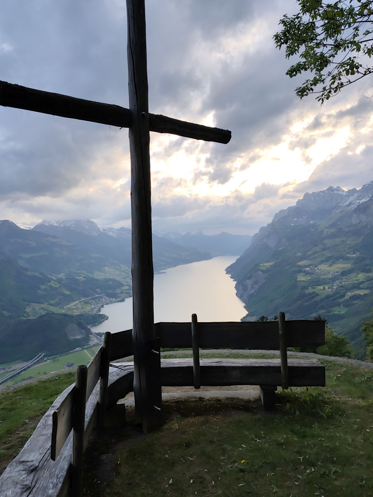
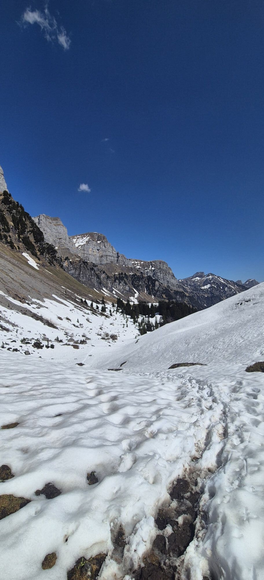
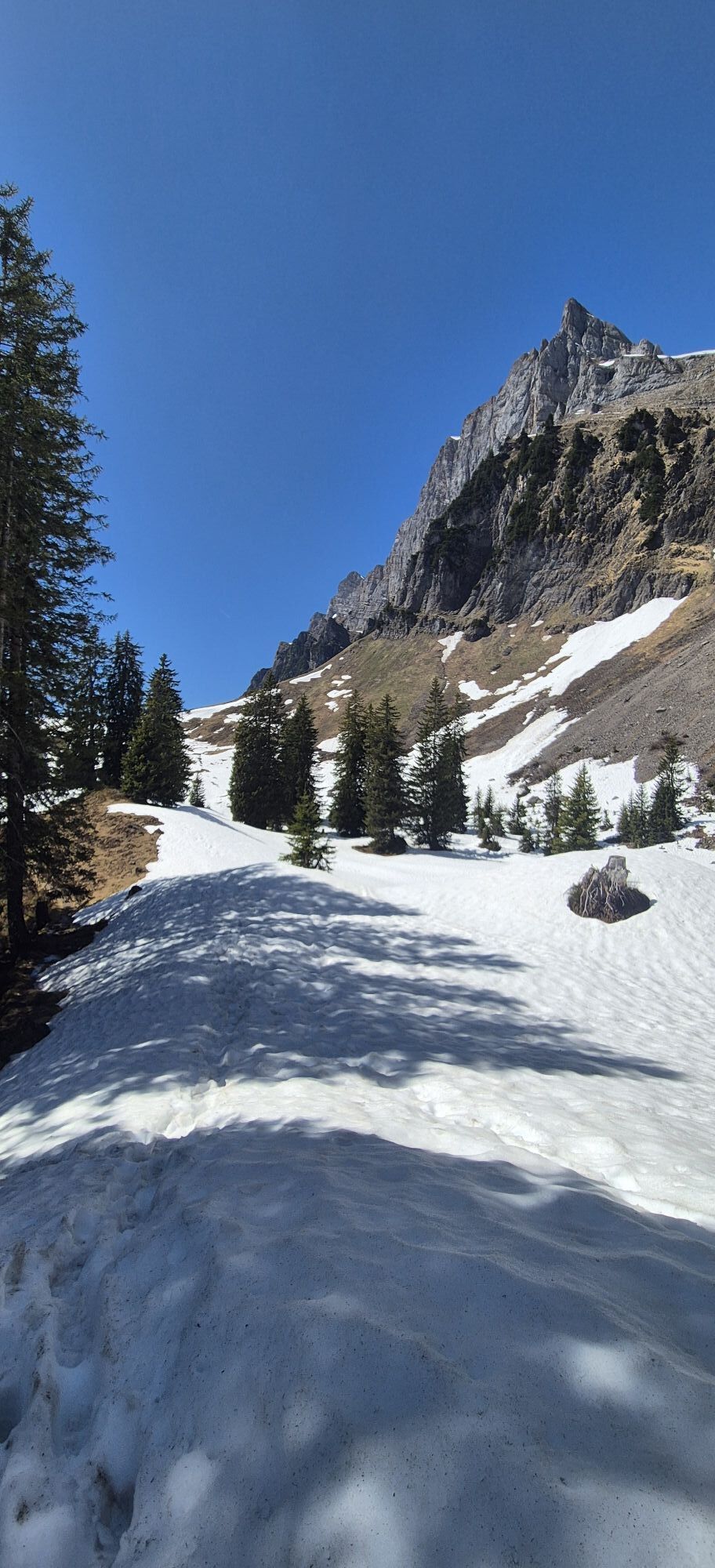
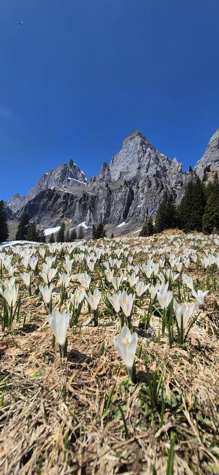
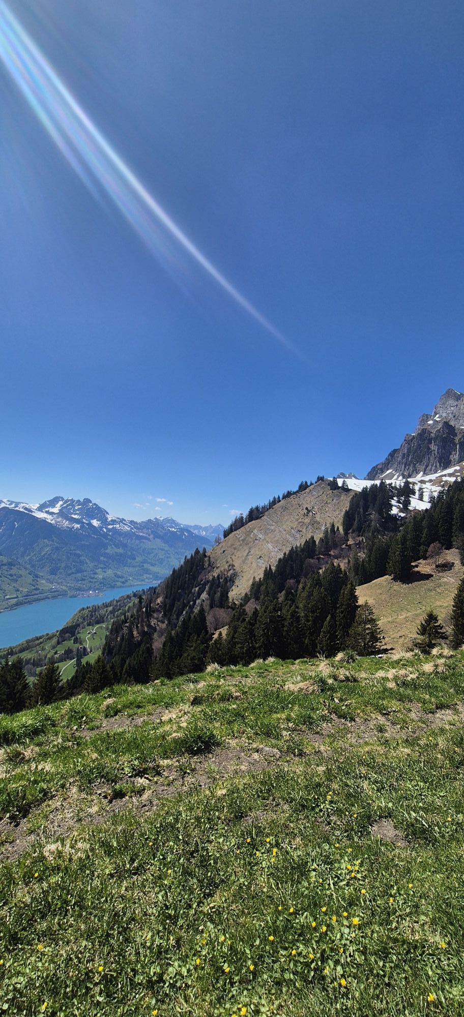
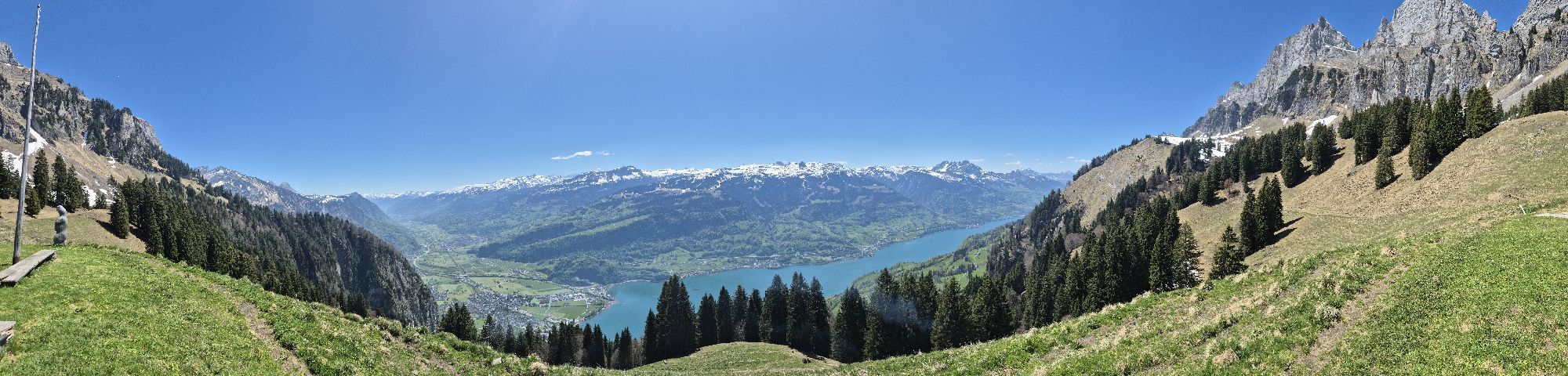
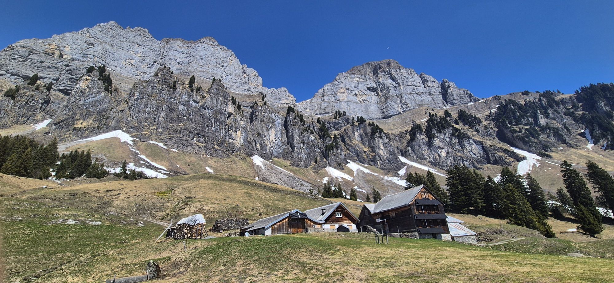
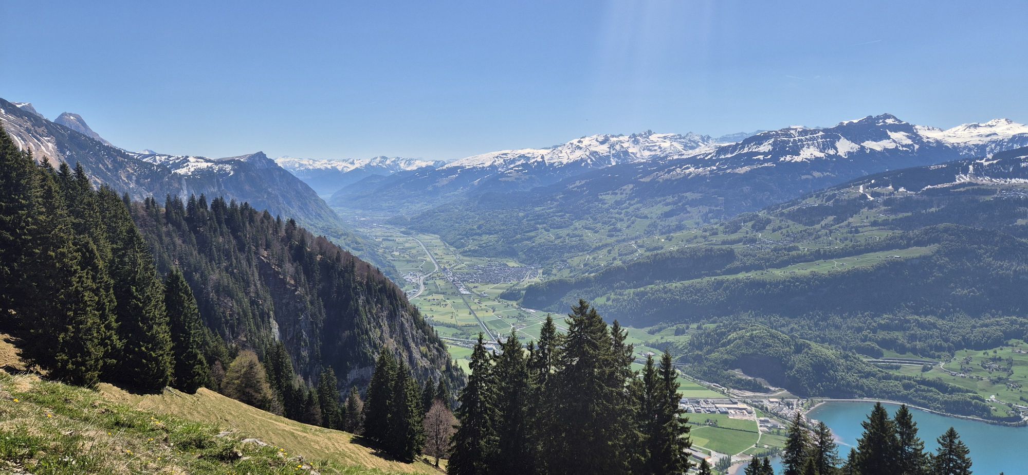
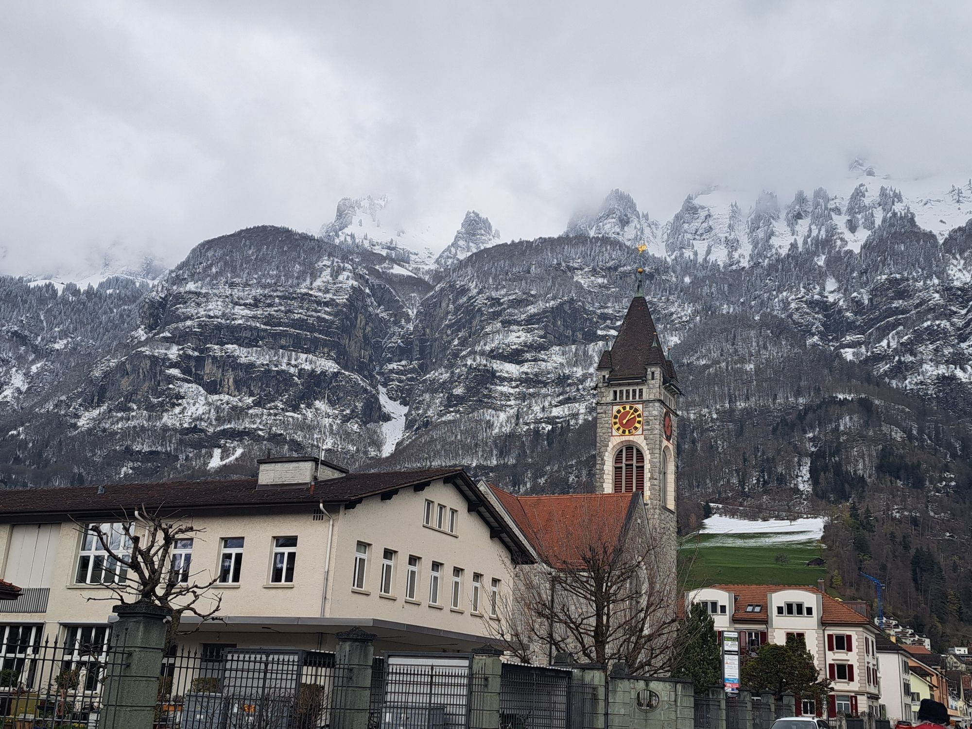
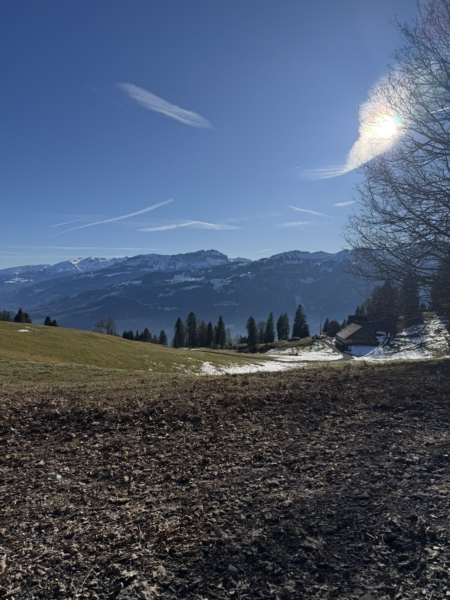
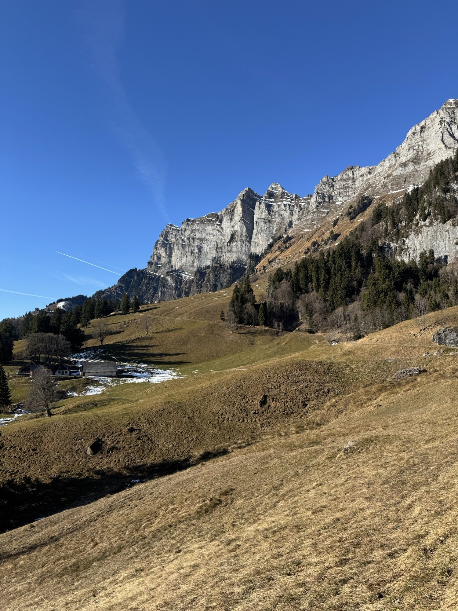
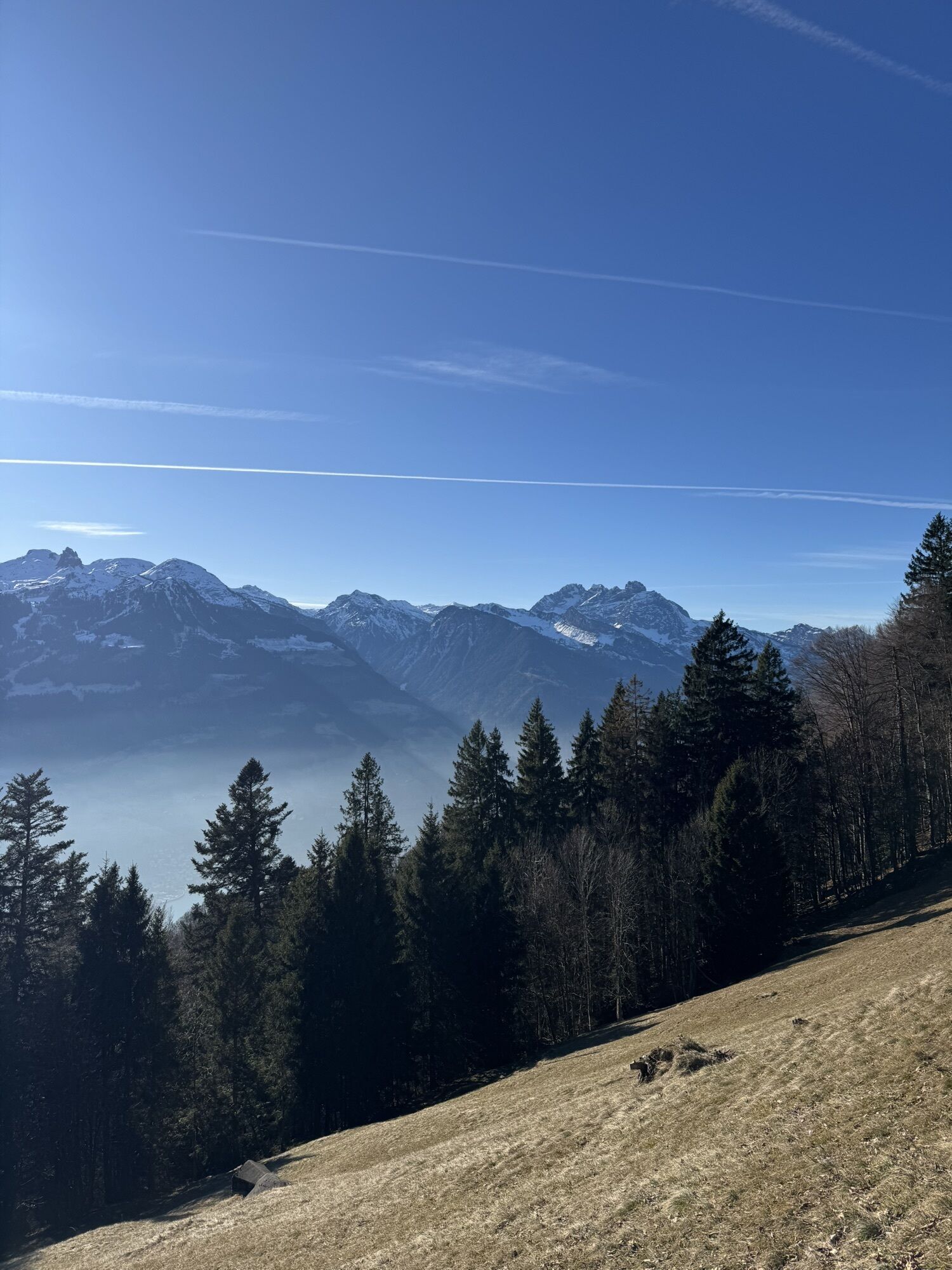
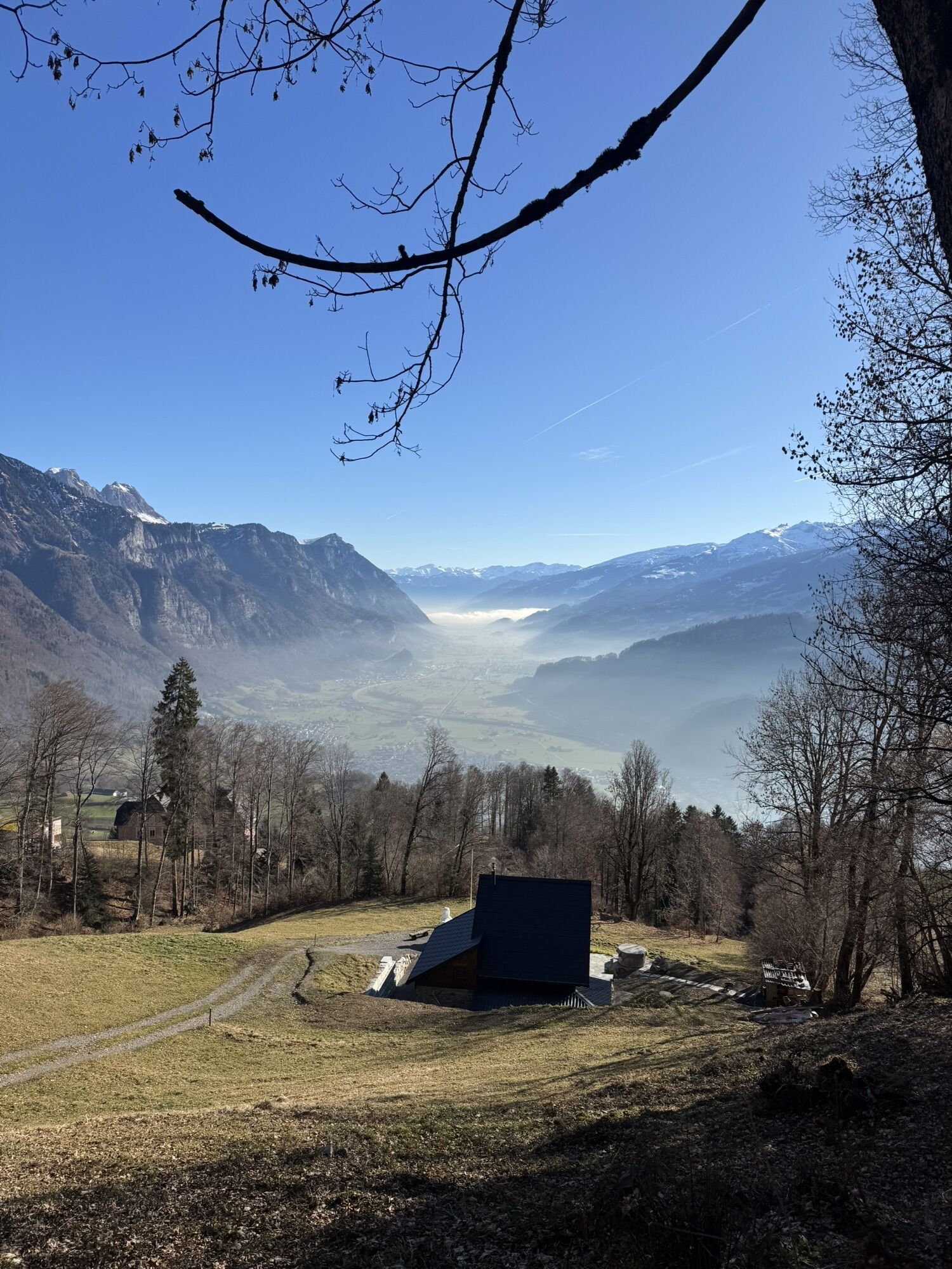
The hut hike on Lake Walen starts in the tranquil settlement of Walenstadtberg, which can be conveniently reached by bus from Walenstadt.
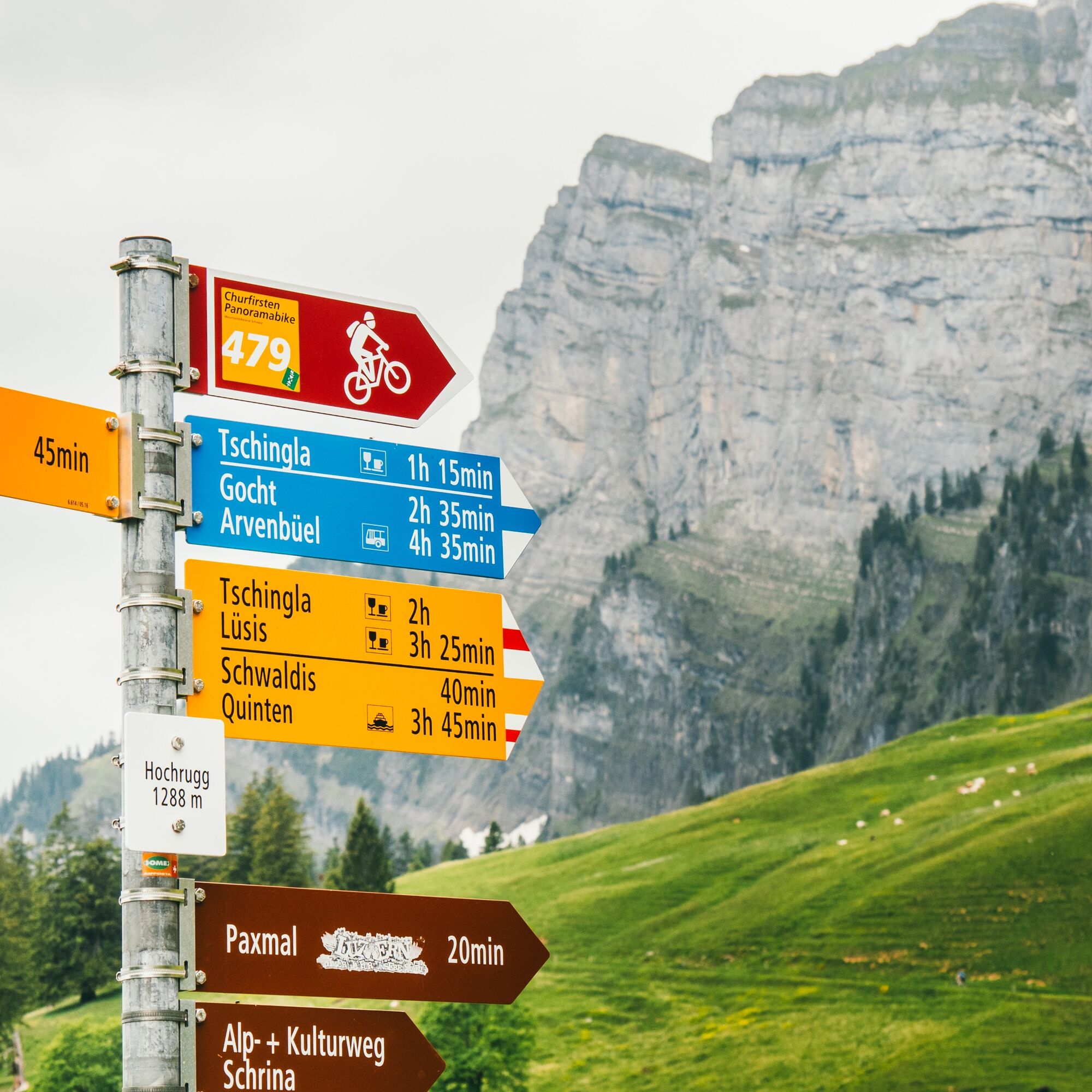
The route begins on a paved road towards Alp Tschingla at 1,528...
The hut hike on Lake Walen starts in the tranquil settlement of Walenstadtberg, which can be conveniently reached by bus from Walenstadt.
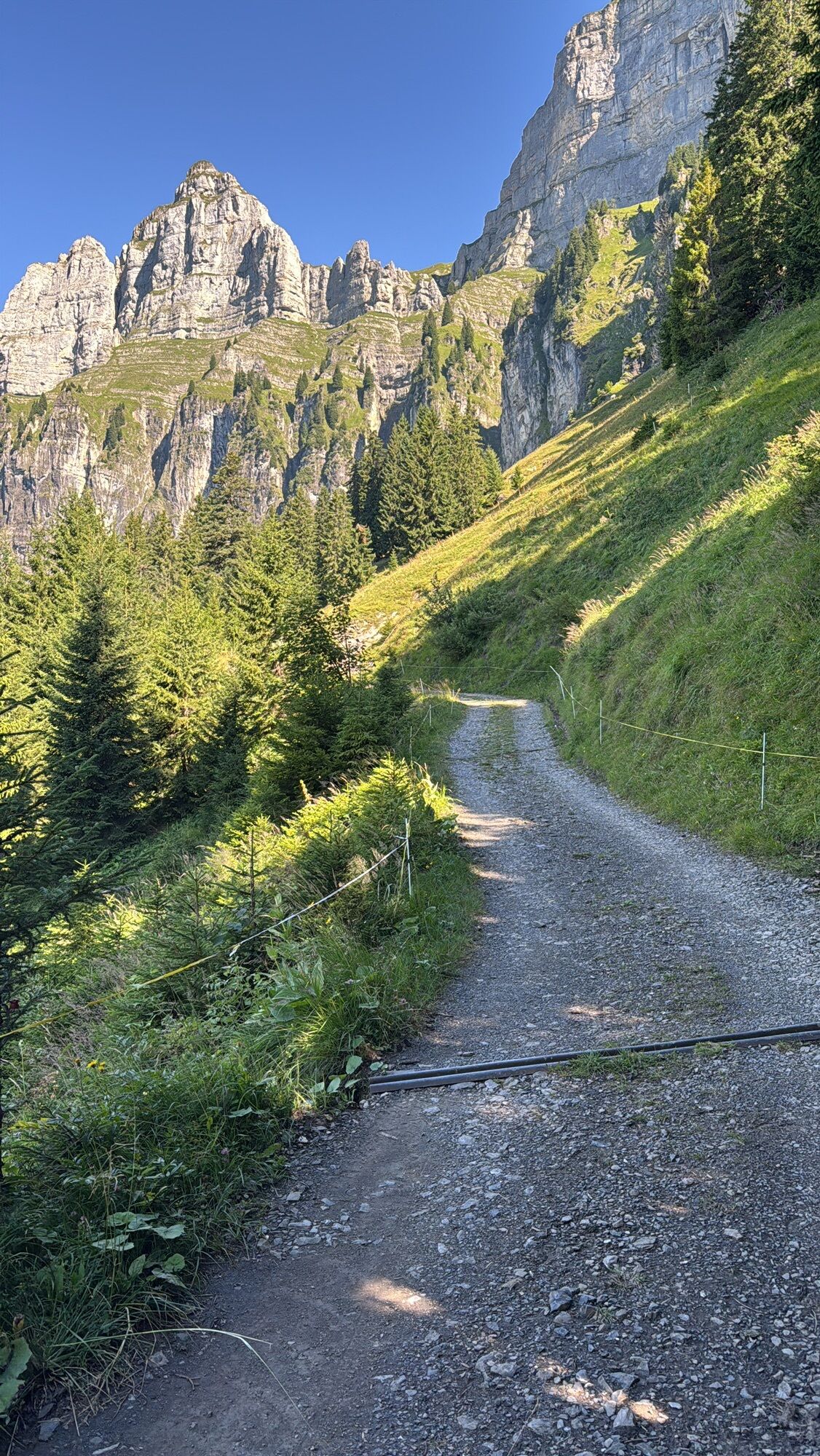
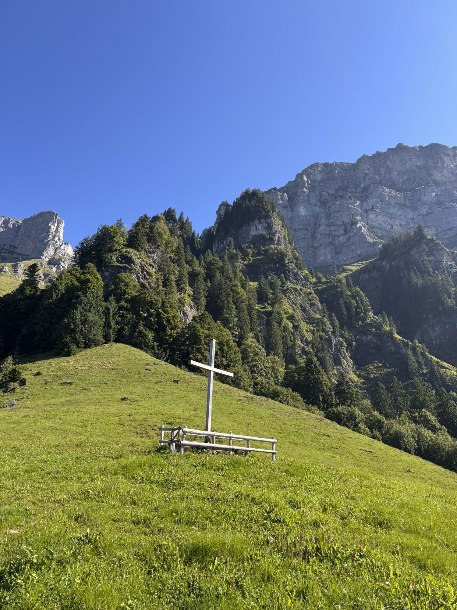
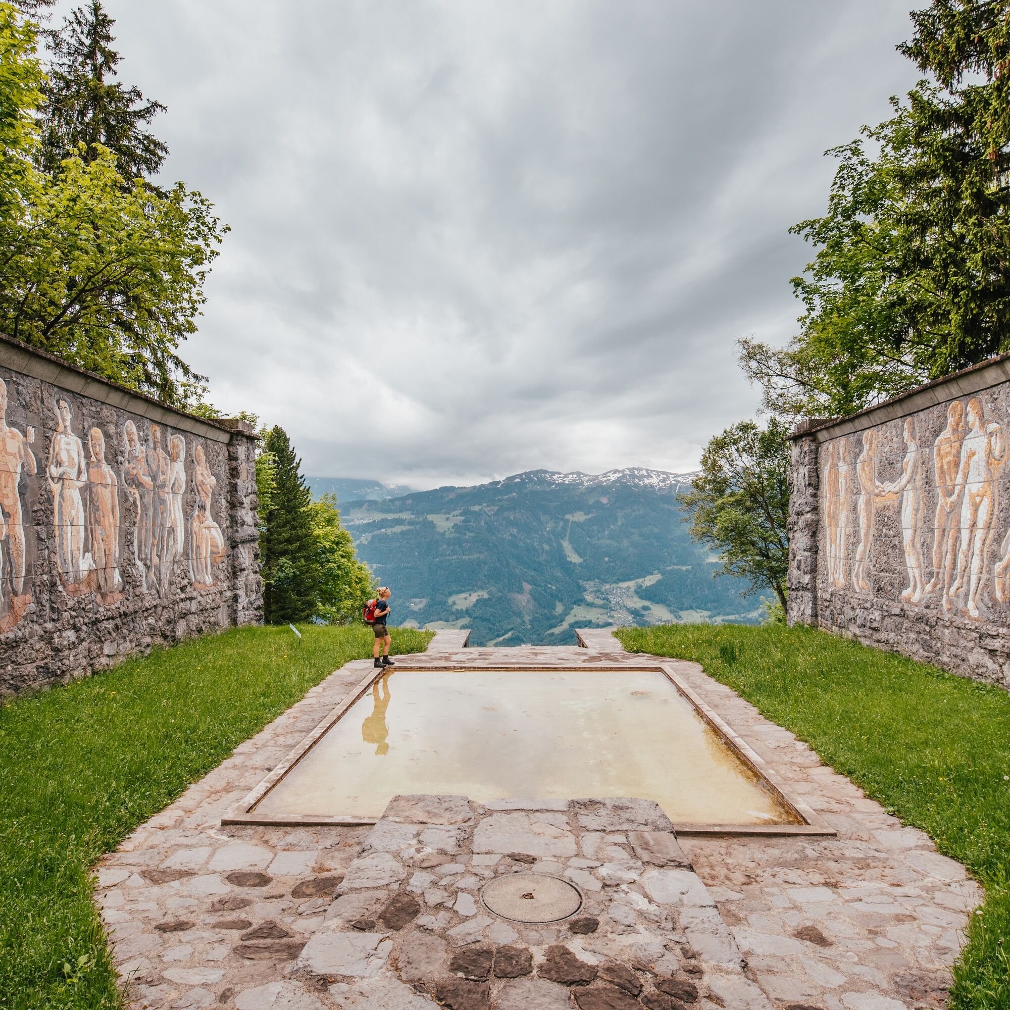
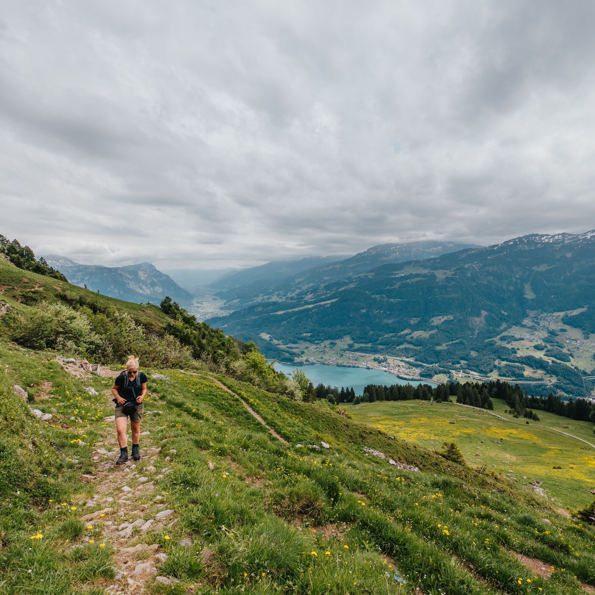
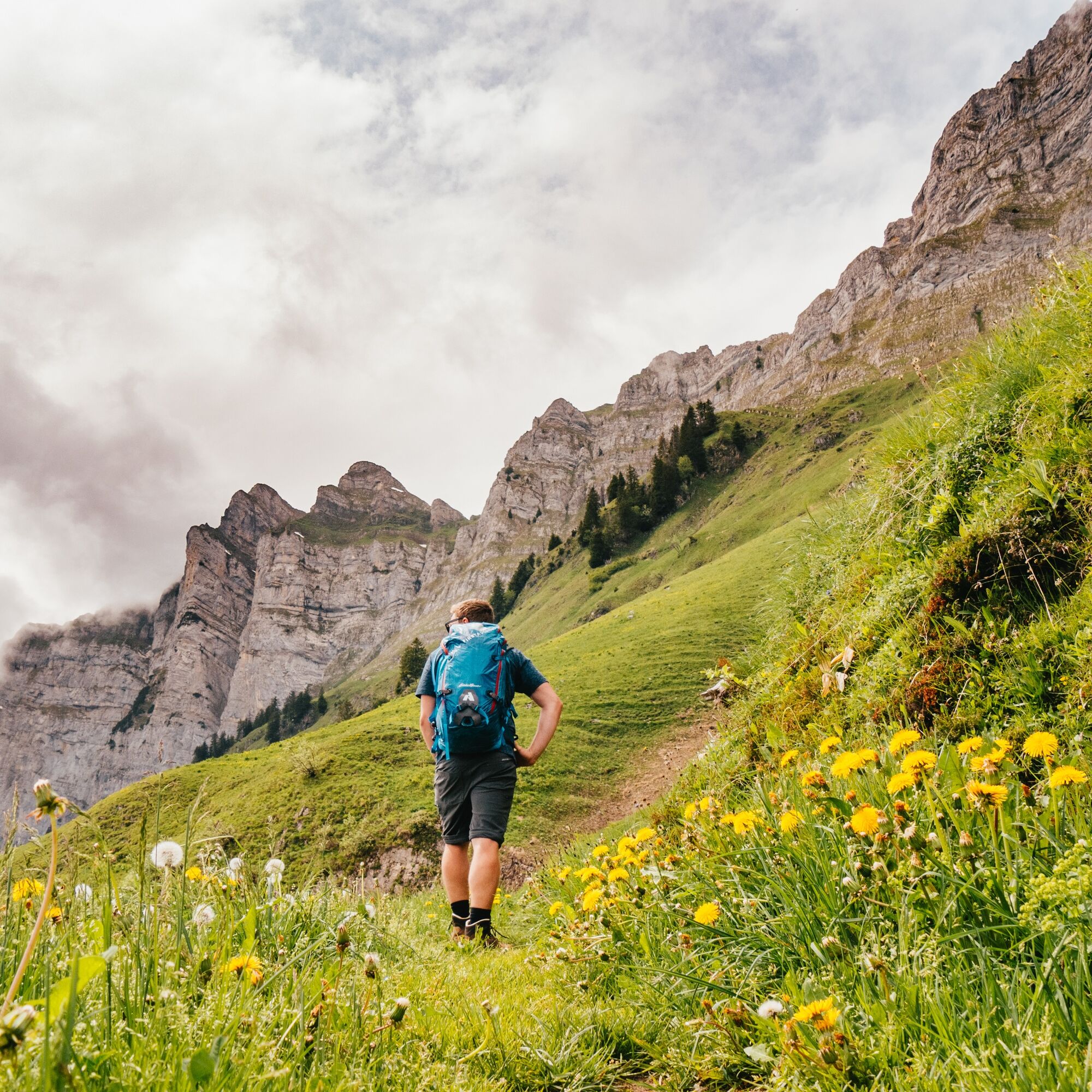
The route begins on a paved road towards Alp Tschingla at 1,528 m above sea level, about four hours away. A highlight of the hike is the peace monument "Paxmal," located among magnificent flower meadows and pasture areas. The Swiss artist Karl Bickel dedicated 25 years to the construction of this monument to create a place of silence and reflection. A good opportunity for a short break before the hike continues to the alp, as the path gradually becomes narrower and rockier.
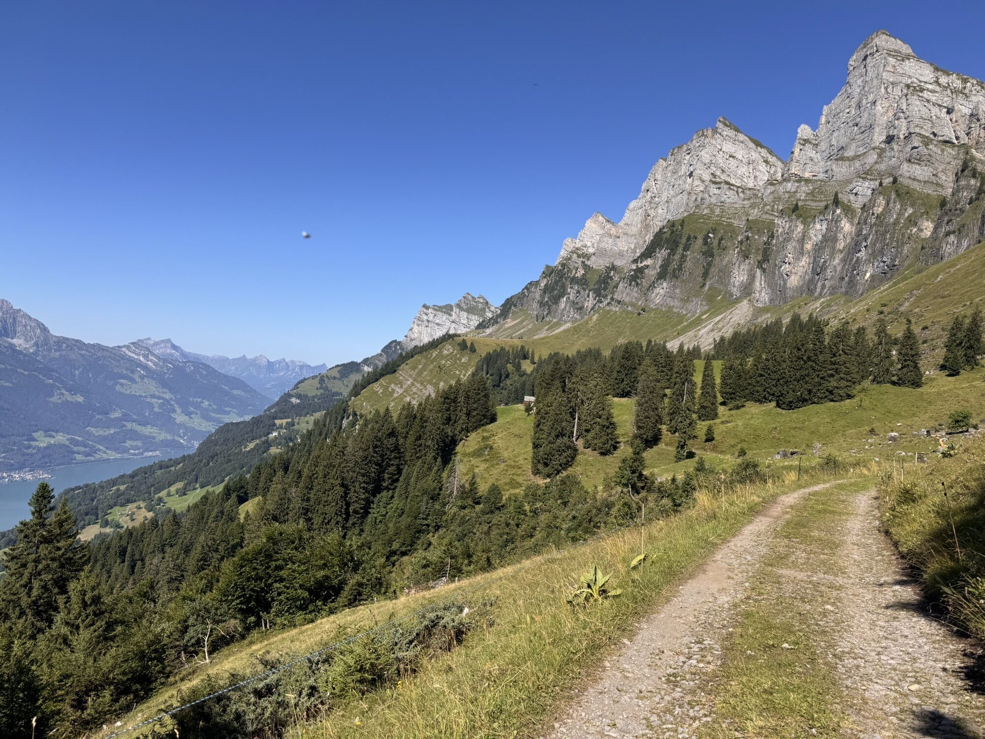
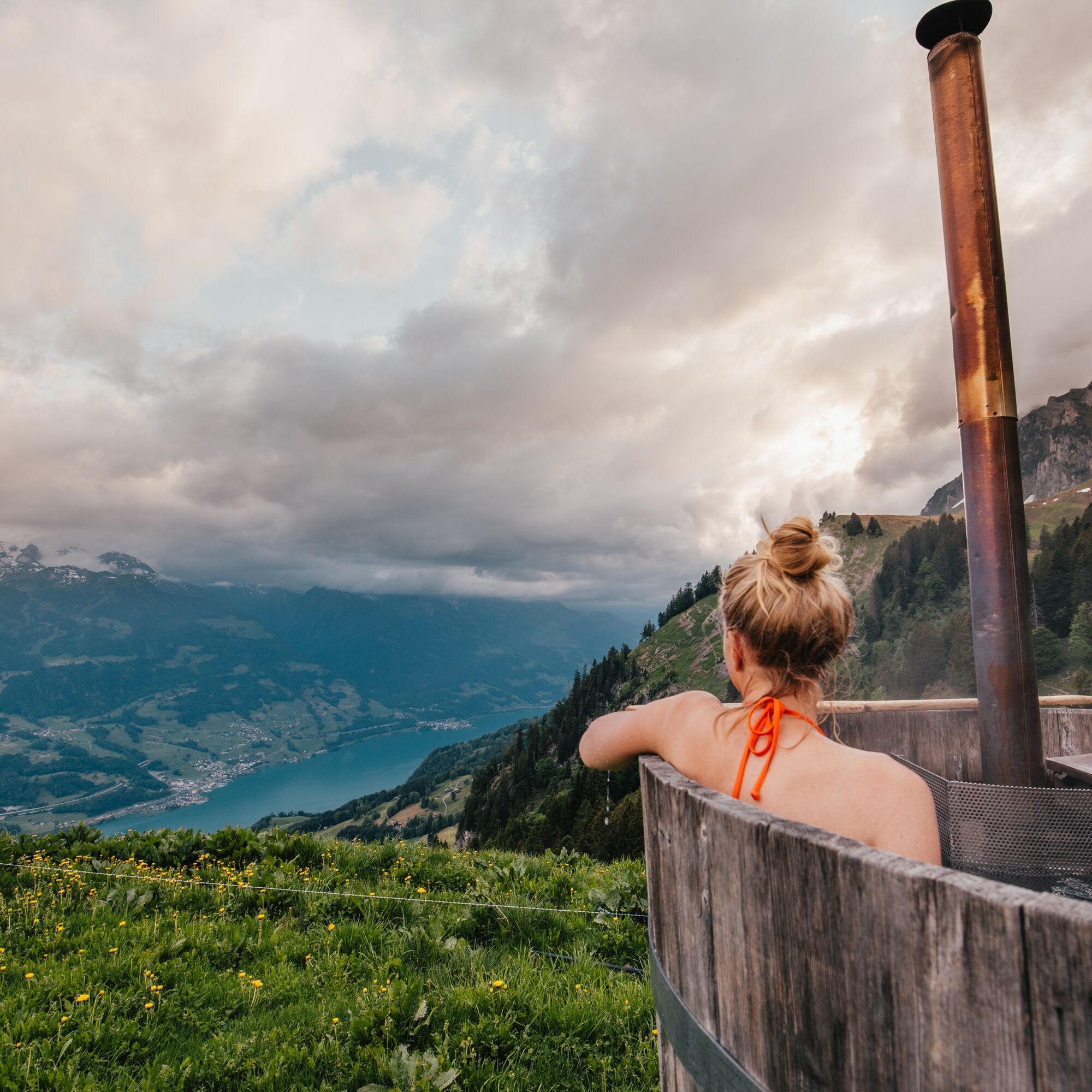
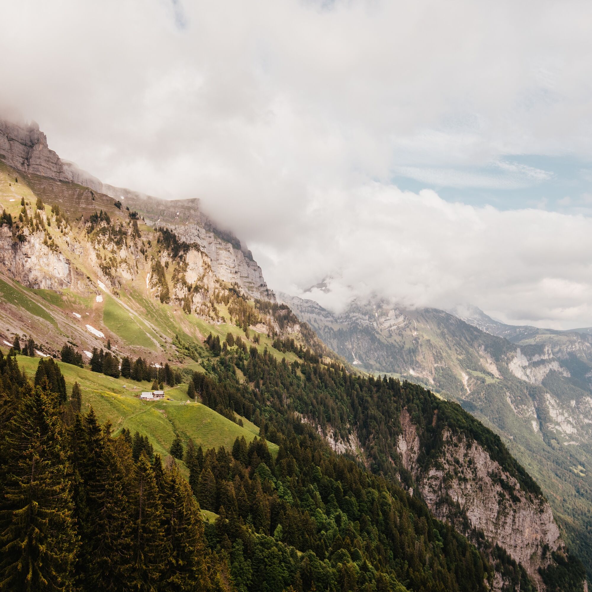
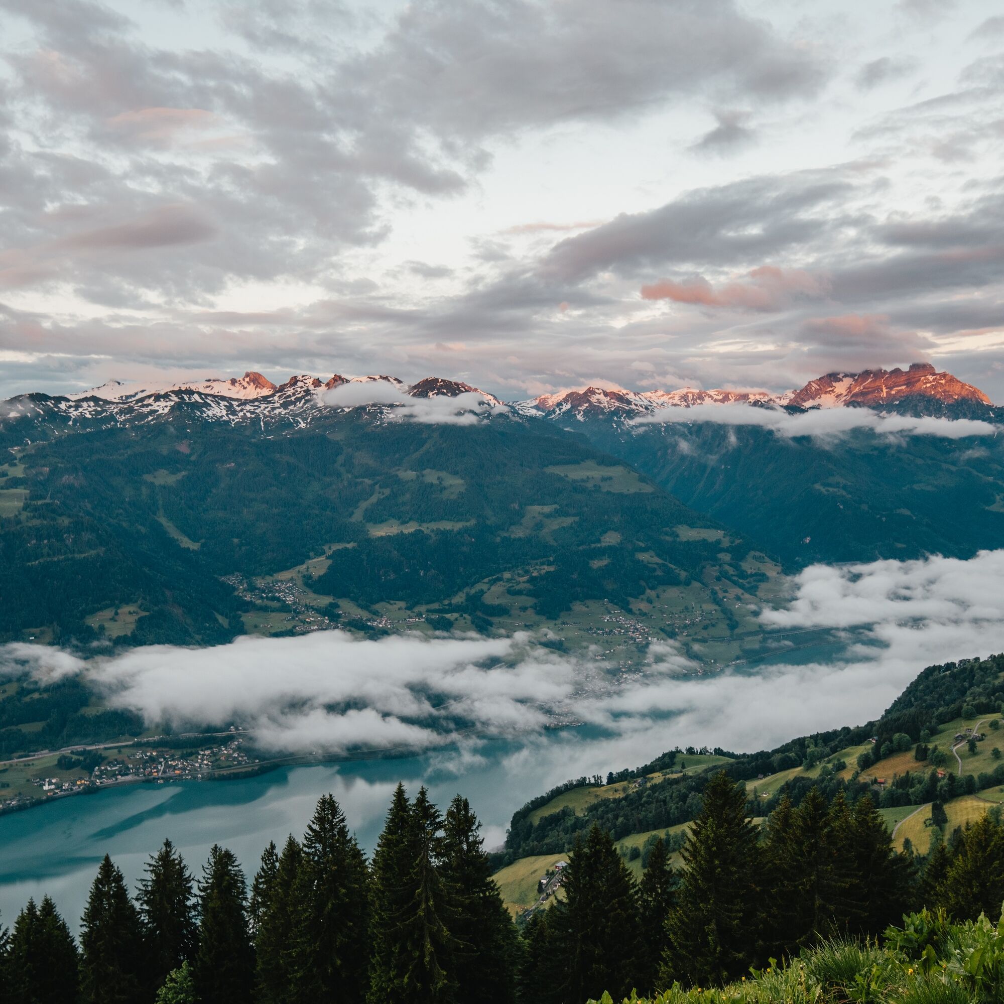
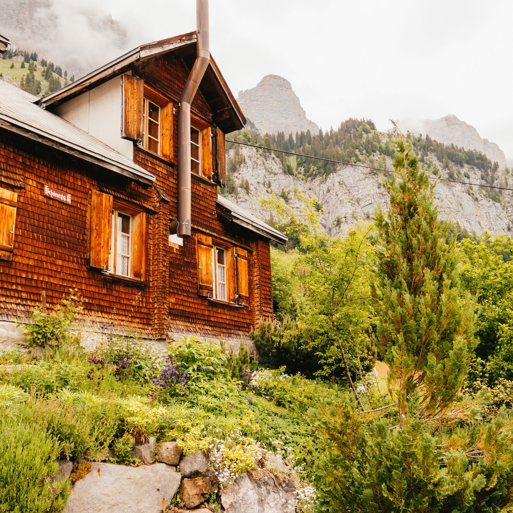
After the overnight stay, there is the opportunity to enjoy an alp hut breakfast with views of Lake Walen and the impressive Churfirsten mountain range. Refreshed, you then embark on the approximately four-hour return journey to Walenstadt, passing through forests, by streams, and alpine pastures.

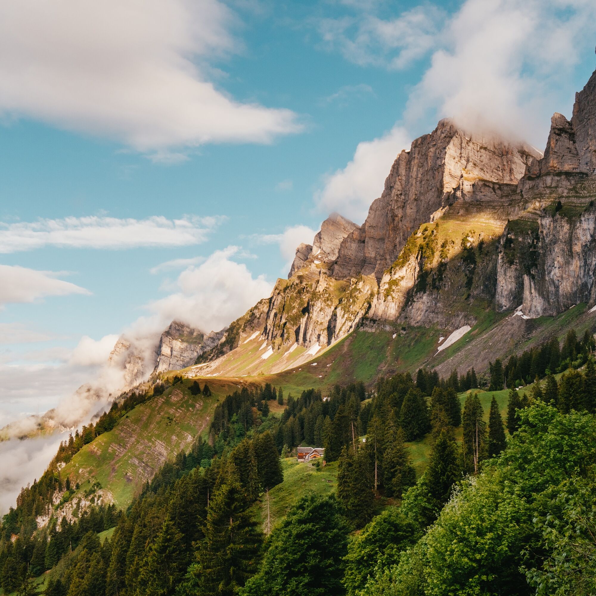
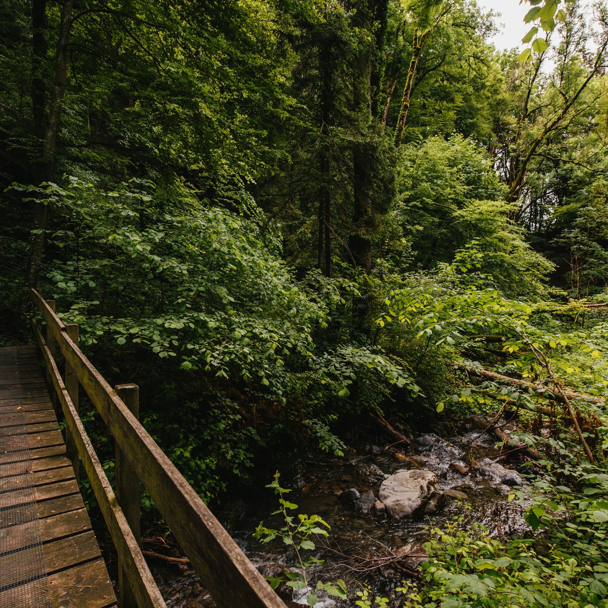

Walenstadtberg - Hochrugg - Obersäss - Alp Tschingla - Hinterbühls - Voderbühls - Brunnen - Lüsis - Verachta - Tscherlach - Walenstadt
Sturdy and well-broken-in footwear and a change of clothes for possible weather changes.
In the area between Obersäss and Paliis, especially in spring, increased caution is advised while hiking (loose stones in the rock walls above the hiking trail).
From Walenstadt station: Bus 443 towards Walenstadtberg, Rehabilitation Clinic
By train to Walenstadt.
Public and paid parking is available directly at Walenstadt train station.
Heidiland Tourismus AG, Flumserberg information office
T +41 81 720 18 18
www.heidiland.com
At Verachta, it is worth readying the camera to capture the unique view of Lake Walen.

Spletne kamere s turneje
Pridobite vpogled
Vedno v živo na mestu z več kot 9.500 spletnimi kamerami. bergfex Kot uporabnik Pro si lahko zdaj ogledate ustrezne spletne kamere za številne izlete v aplikaciji izleti iz. Tako si lahko neposredno ogledate trenutne razmere.
Priljubljeni izleti v okolici
-
4.7
Walensee Riviera Weesen - Quinten
srednjaPohodništvo 10.2 km -
4.7
Riviera Lake Walen Walenstadt-Quinten
srednjaPohodništvo 10.4 km -
4.7
Alvier
srednjaPohodništvo 3.33 km -
4.6
4-Summit-Route Flumserberg
srednjaPohodništvo 8.65 km -
4.6
Schwägalp - Berggasthaus Tierwies - Girenspitz - Säntis
težkoPohodništvo 4.83 km -
5.0
Schrina Alp and Cultural Trail
srednjaTematska pot 11.5 km -
4.9
Quarten - Murgseehütte - Berggasthaus Murgsee - Glarus Nord
srednjaPohodništvo 14.7 km -
4.7
Quinten-Trail 453
srednjaTek 8.97 km -
4.8
Mountain route over Rotsteinpass to Säntis
težkoPohodništvo 8.53 km -
4.7
Mädems Trail
srednjaSnežni čevlji 7.48 km

Pohodništvo in sledenje


Ne zamudite ponudb in navdiha za naslednje počitnice
Vaš e-poštni naslov je bil dodan na poštni seznam.





