






Hike over Iltios-Chäserrugg-Sellamatt to Alt St. Johann
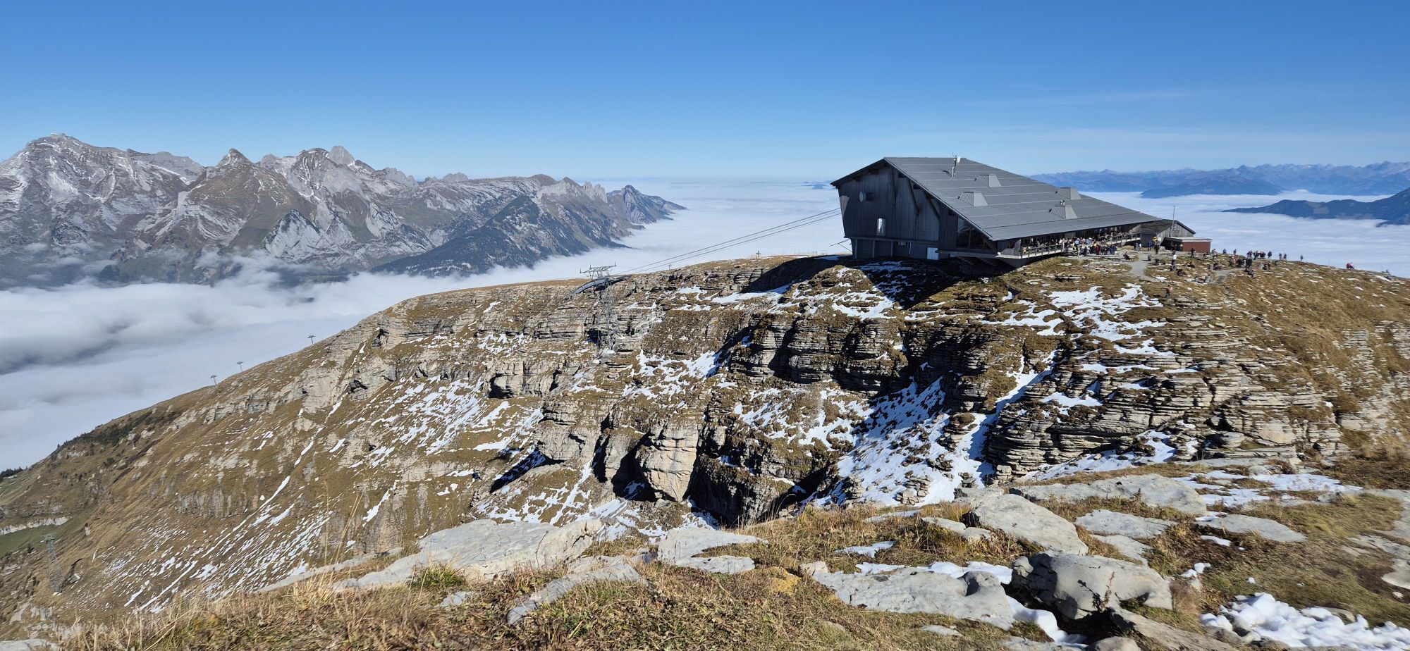

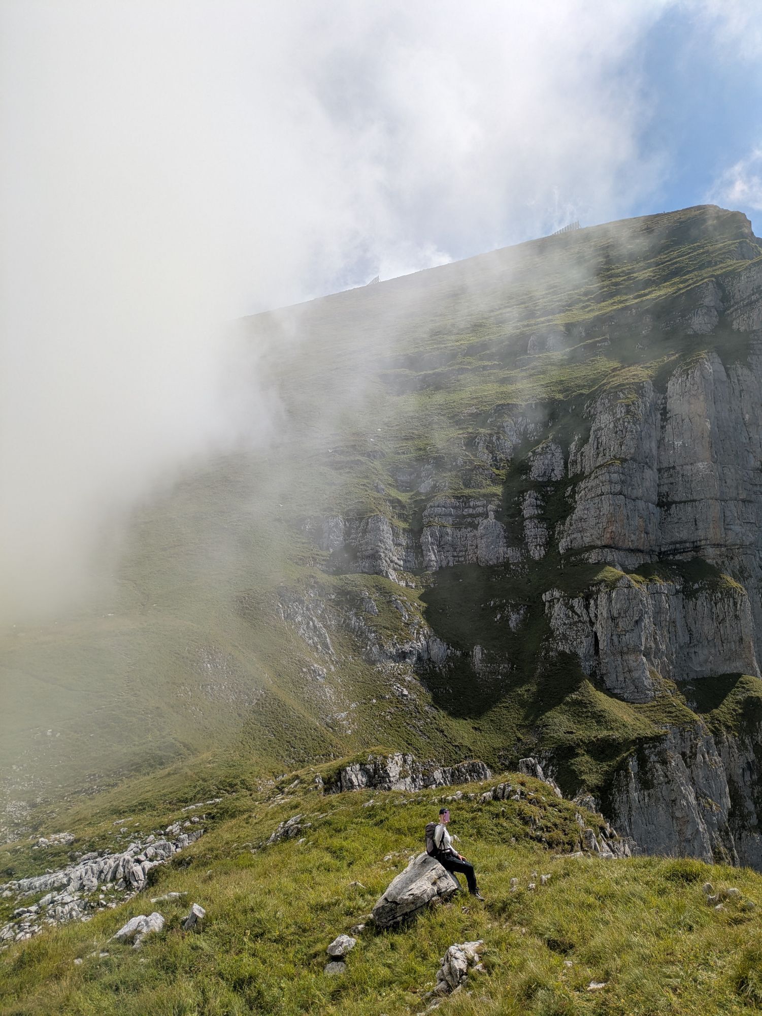
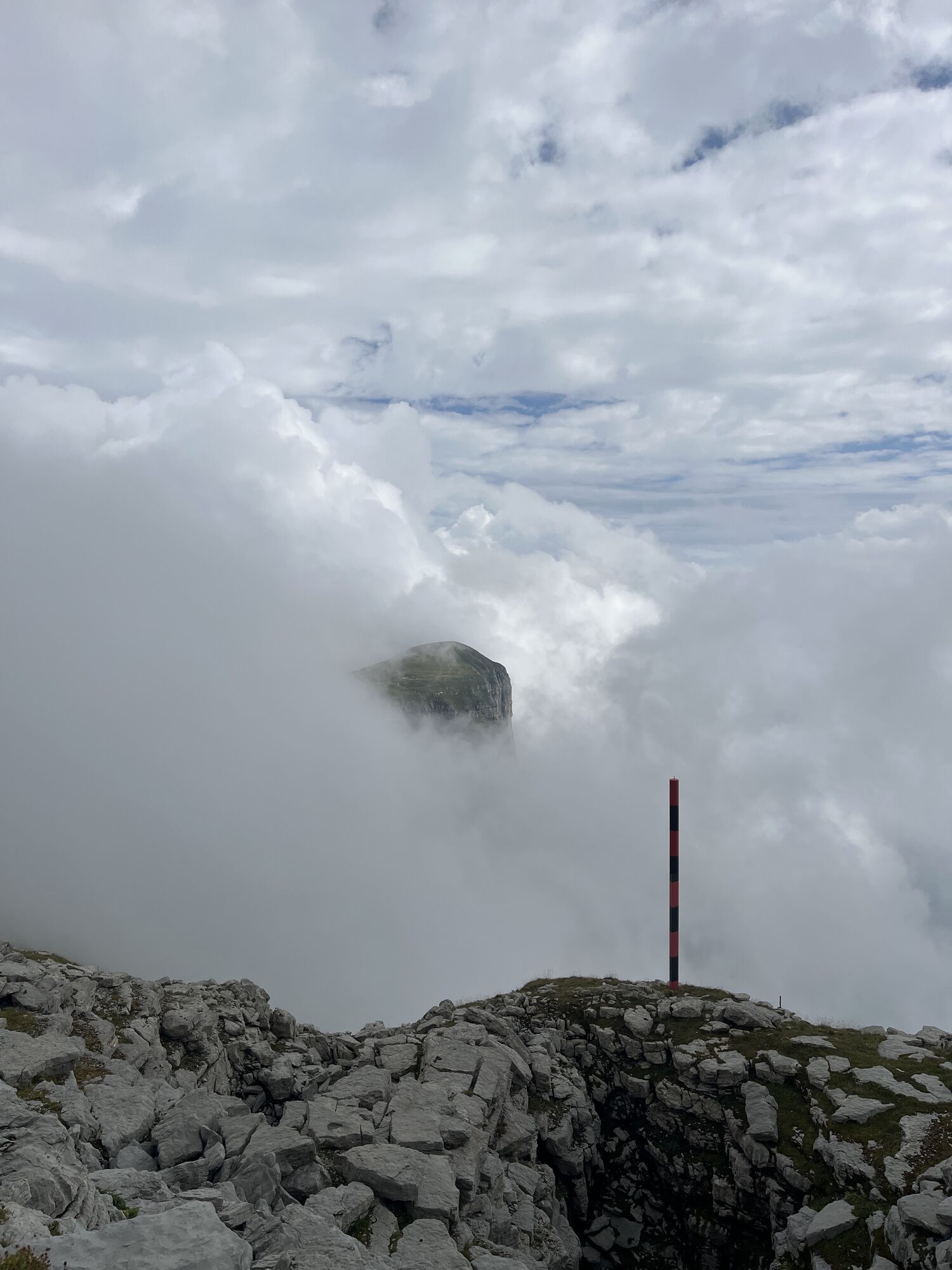
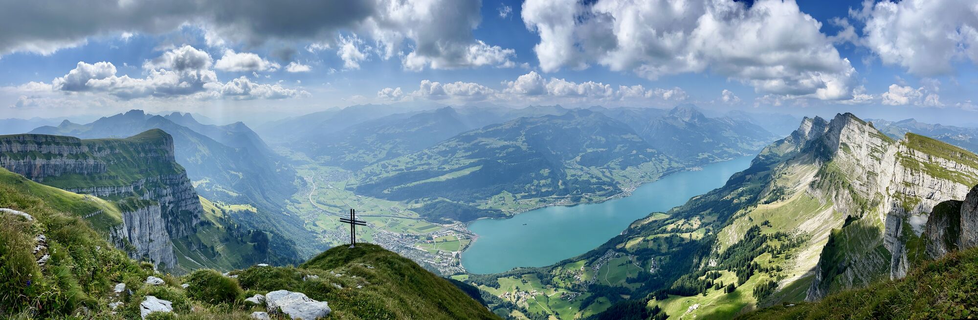
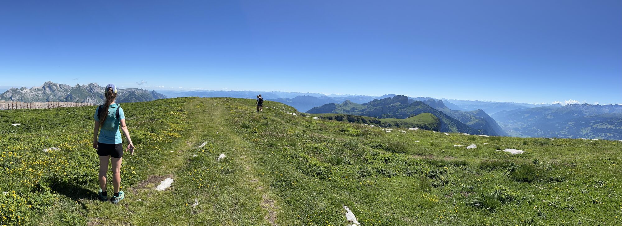
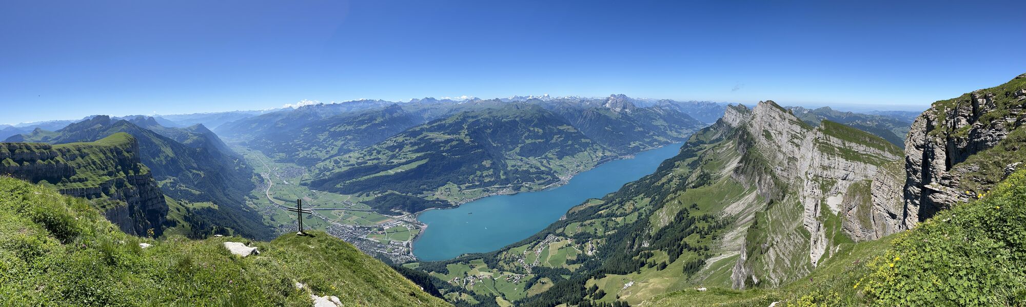
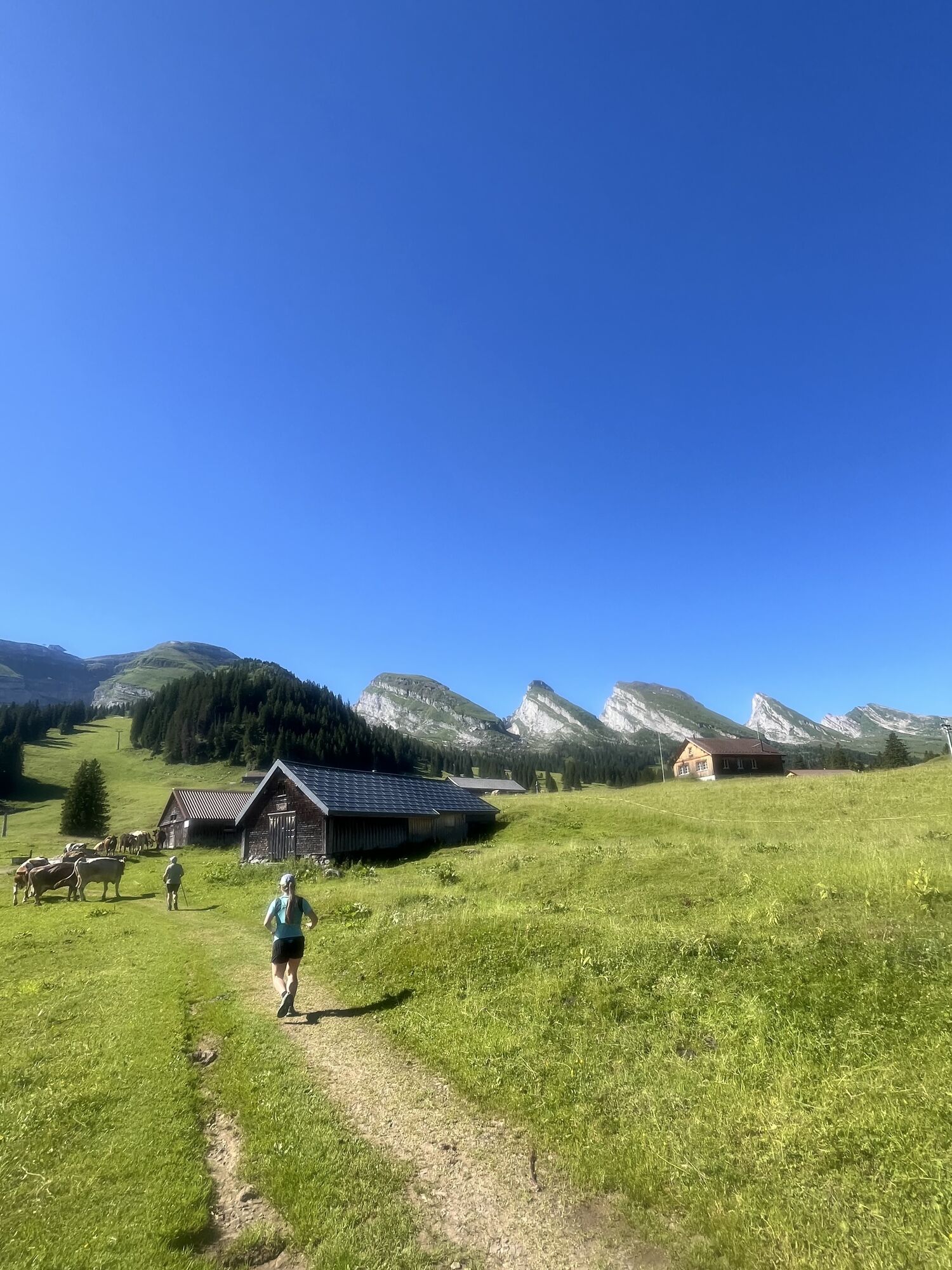

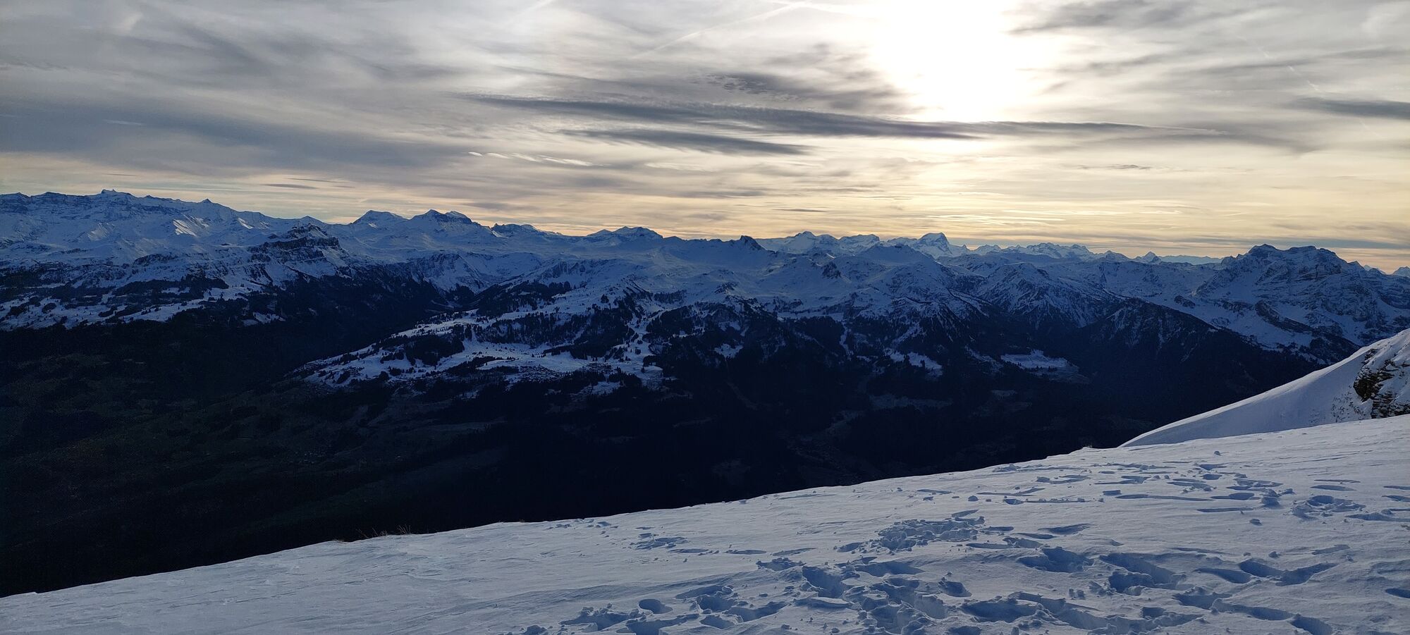
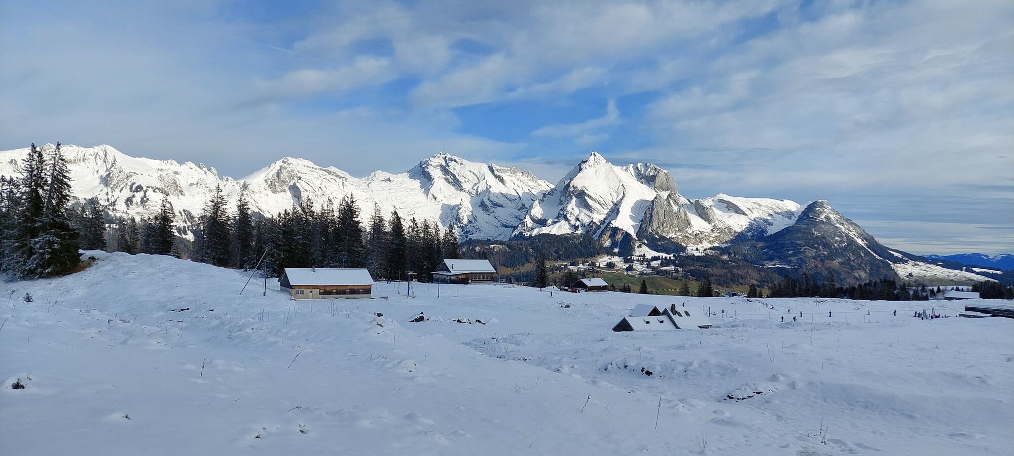
We take the funicular to Iltios. The path leads us past Espel to Hinterrisi and further over Plisen through beautiful alpine flora to the saddle. Over the Schlachtböden - the name goes back to the dispute...
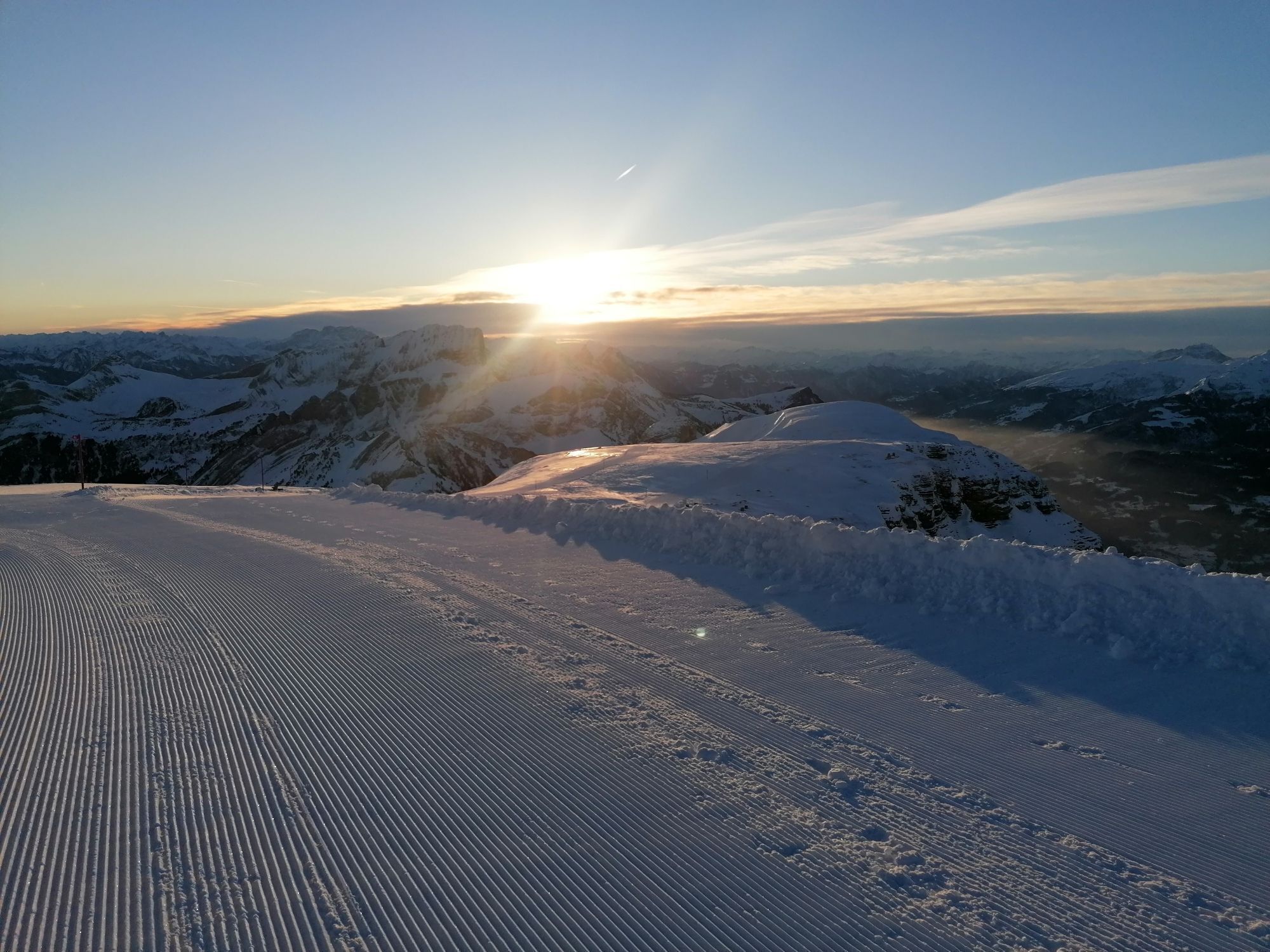
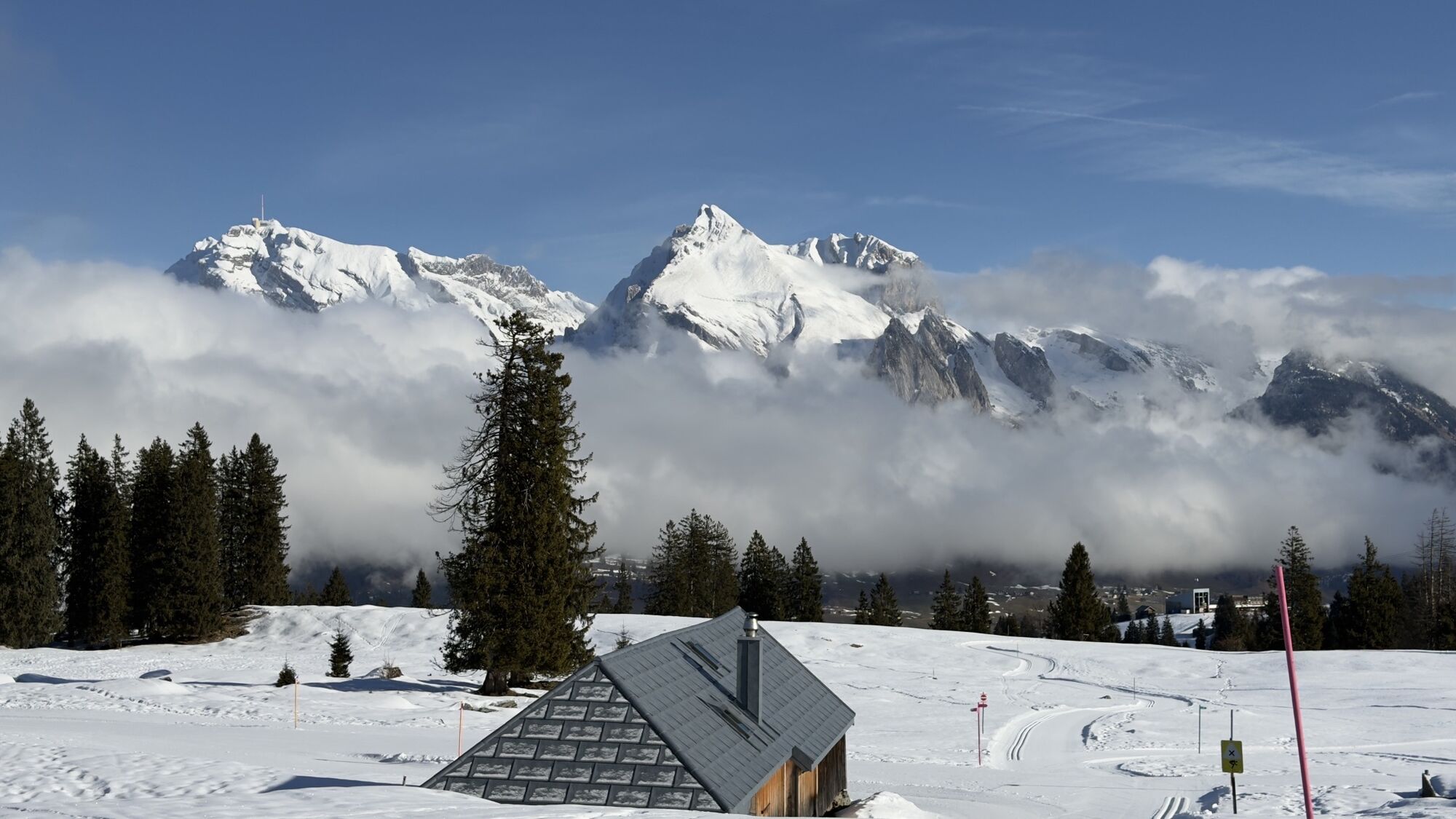
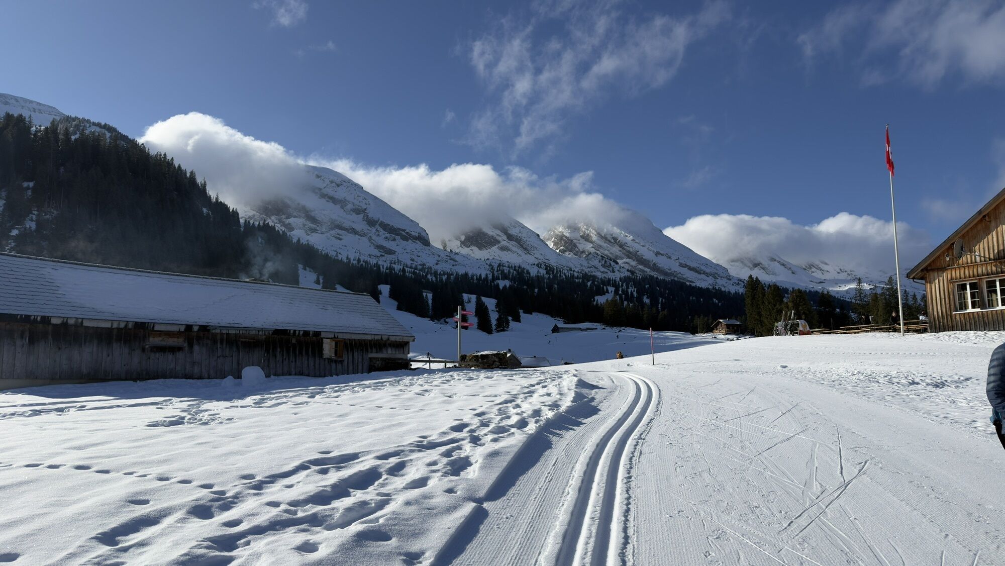
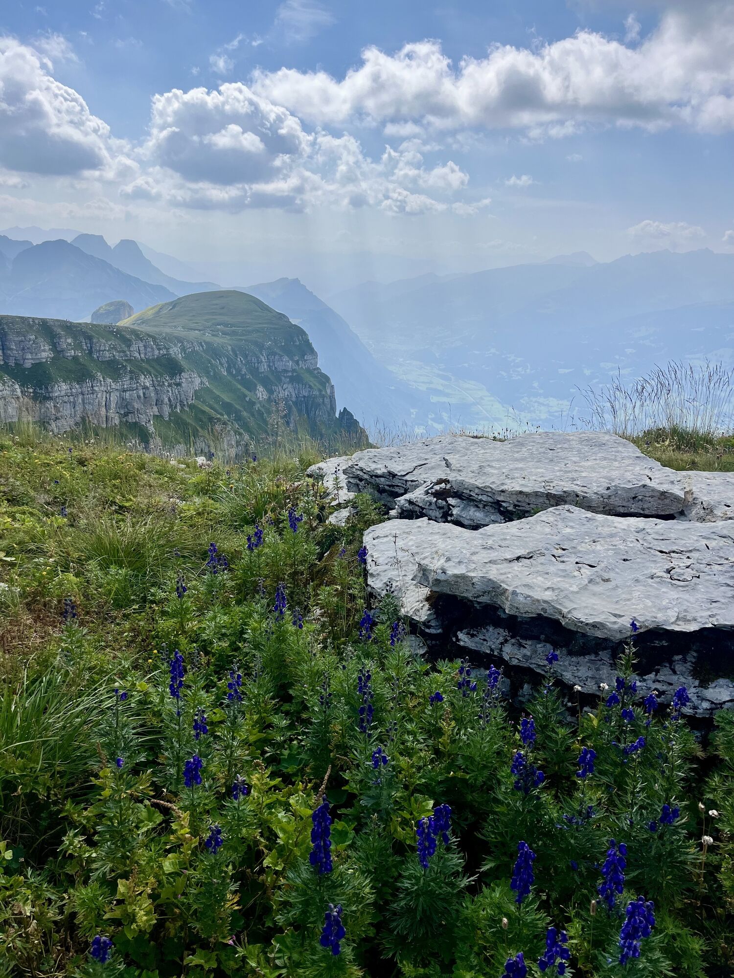
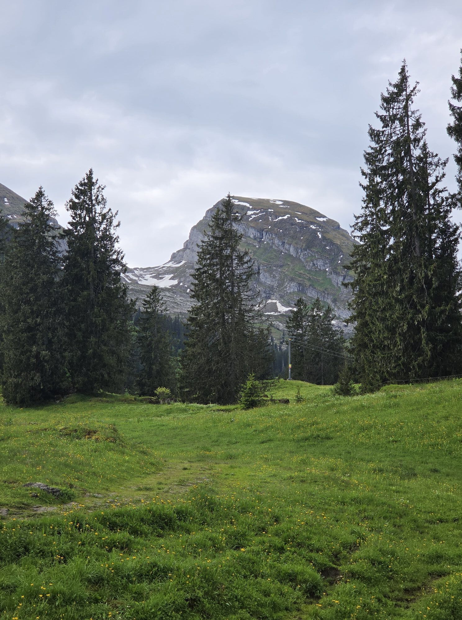
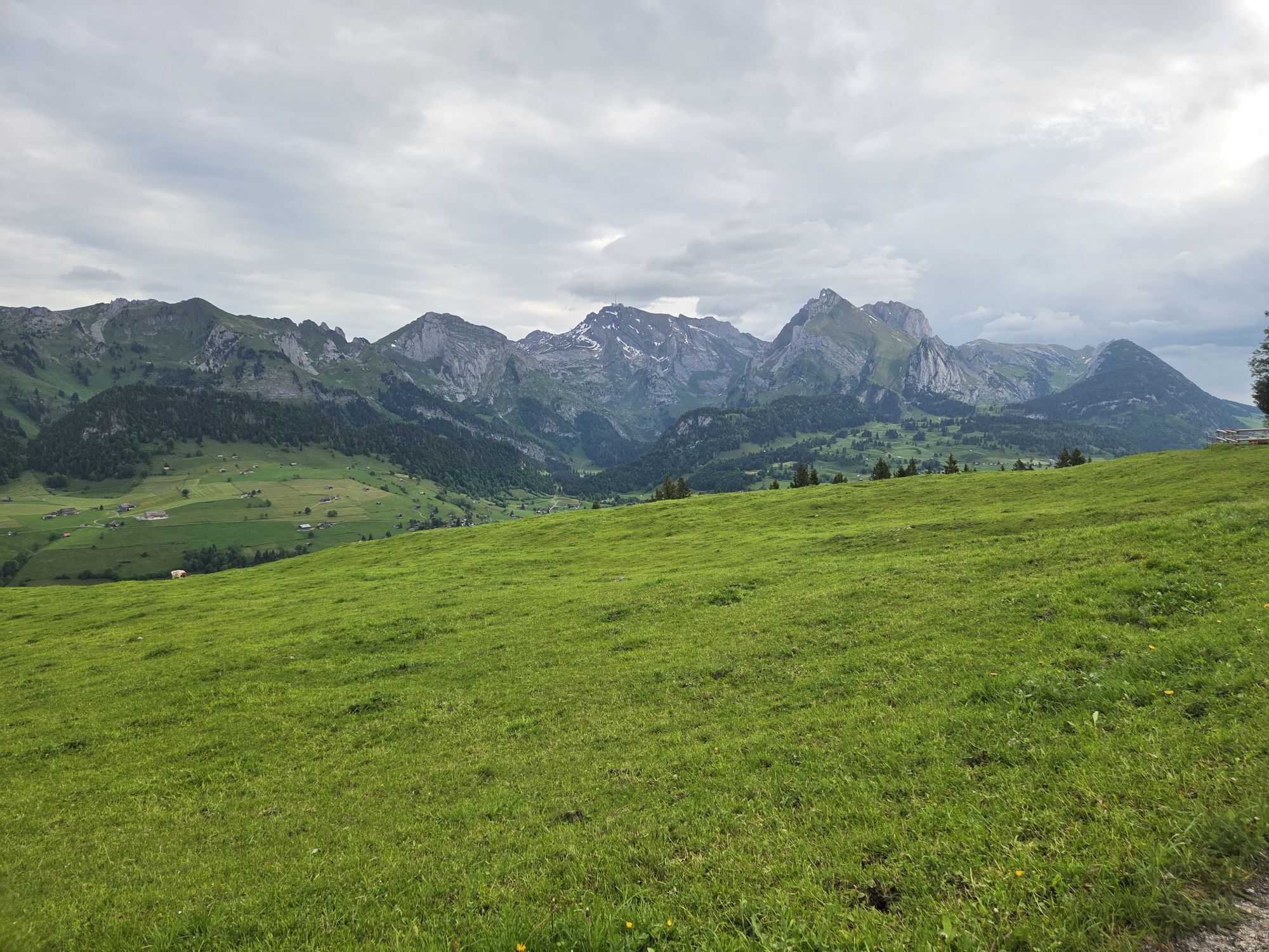
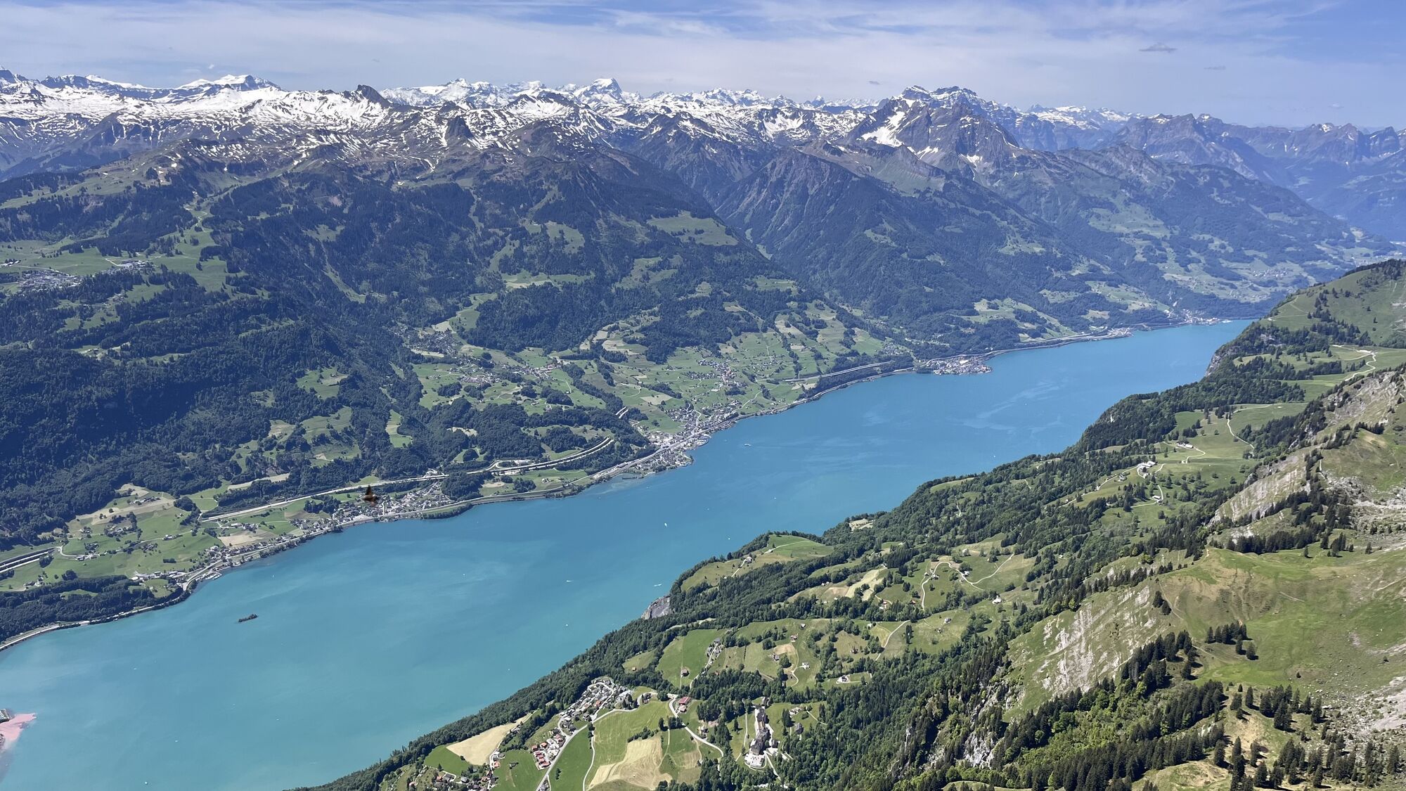
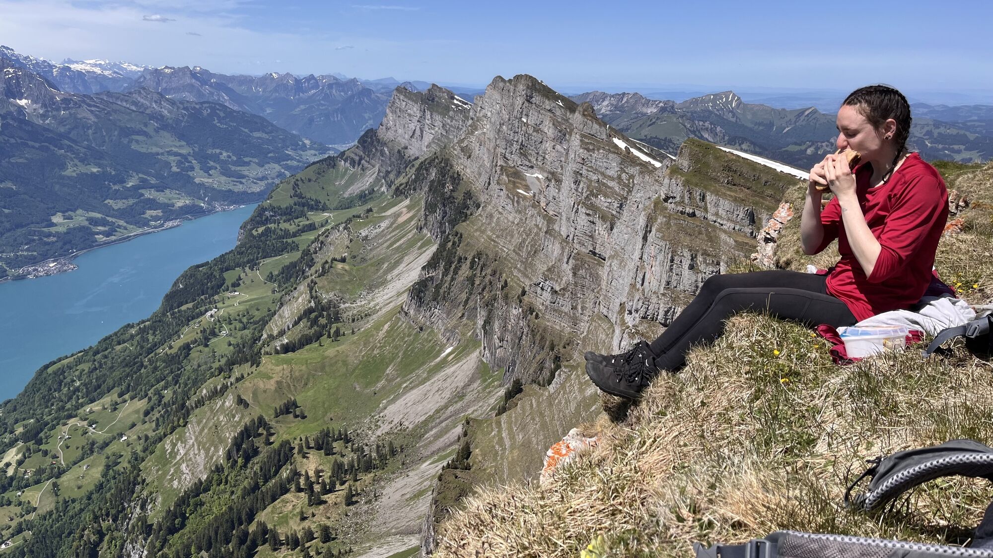
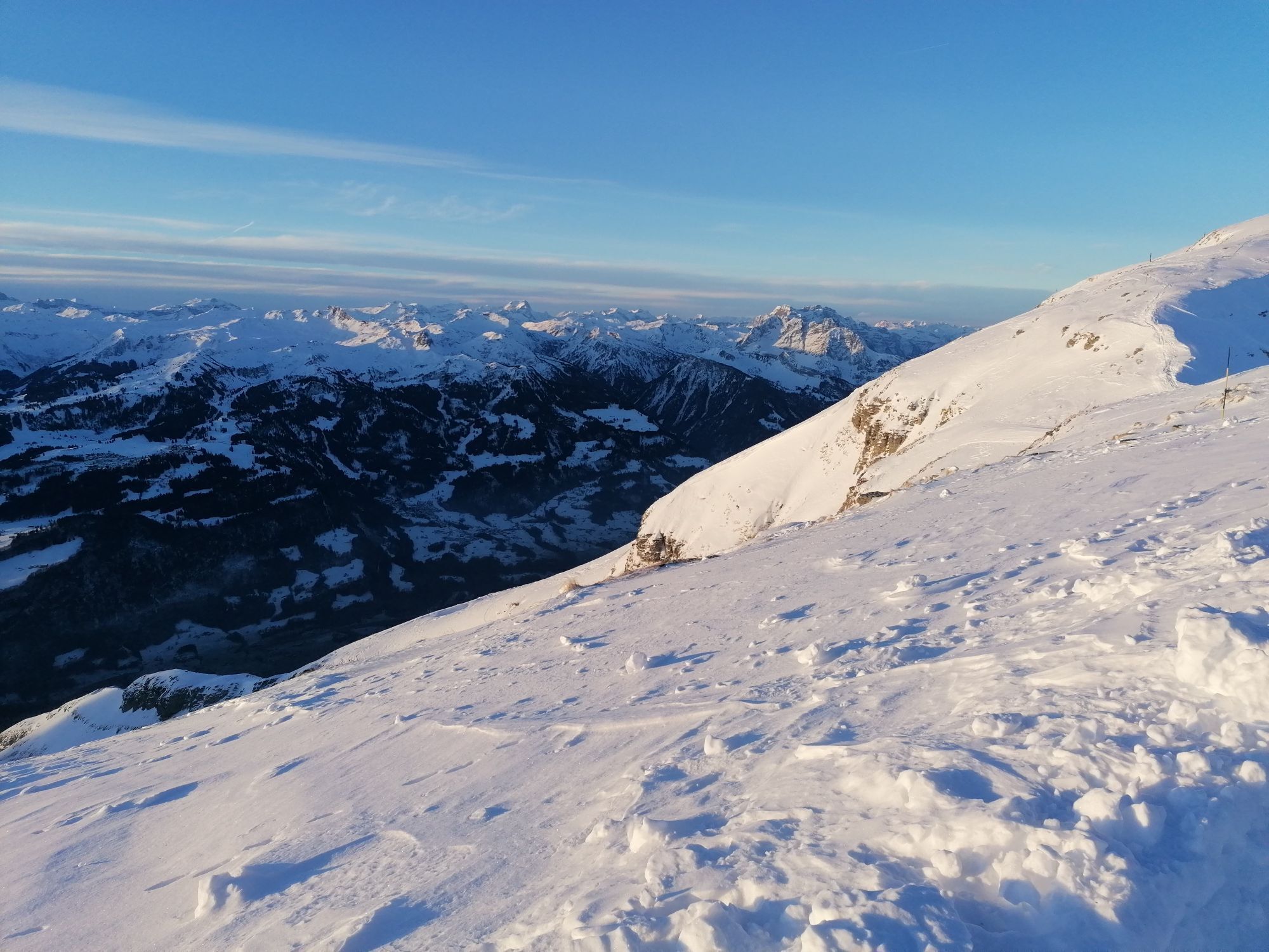
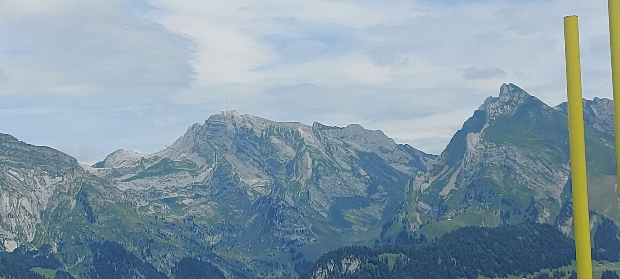
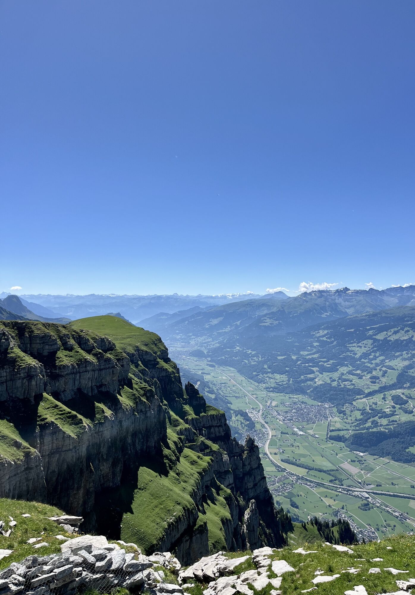
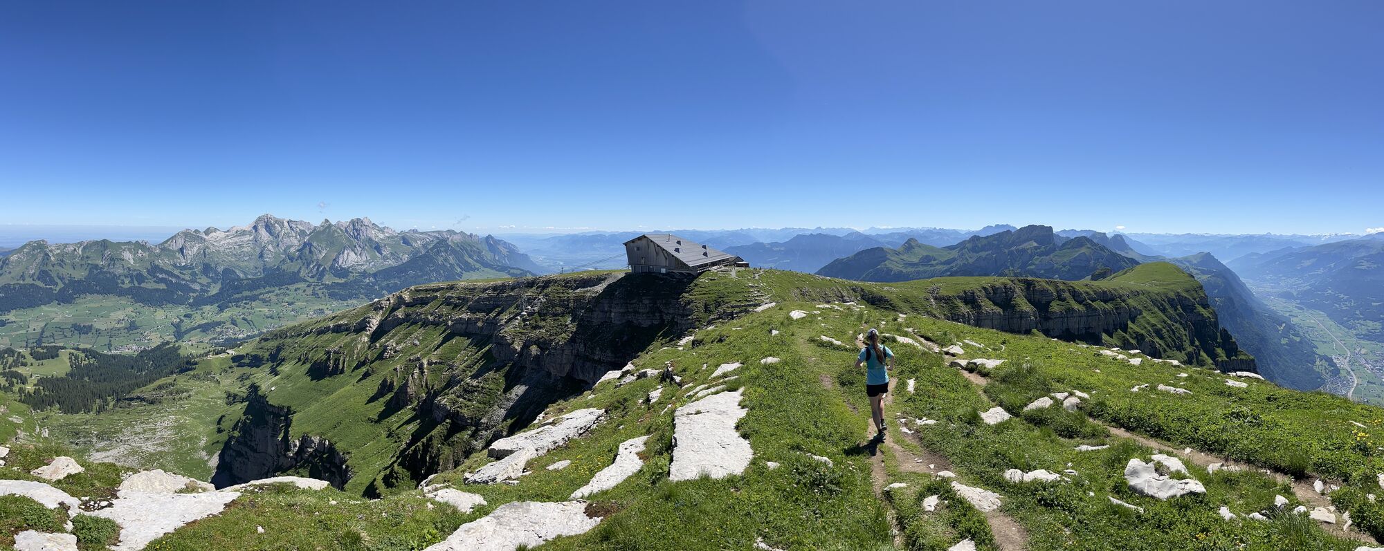
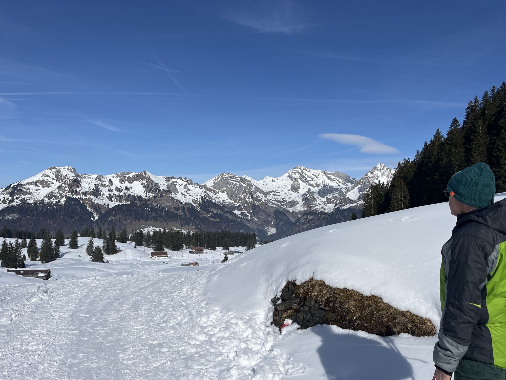
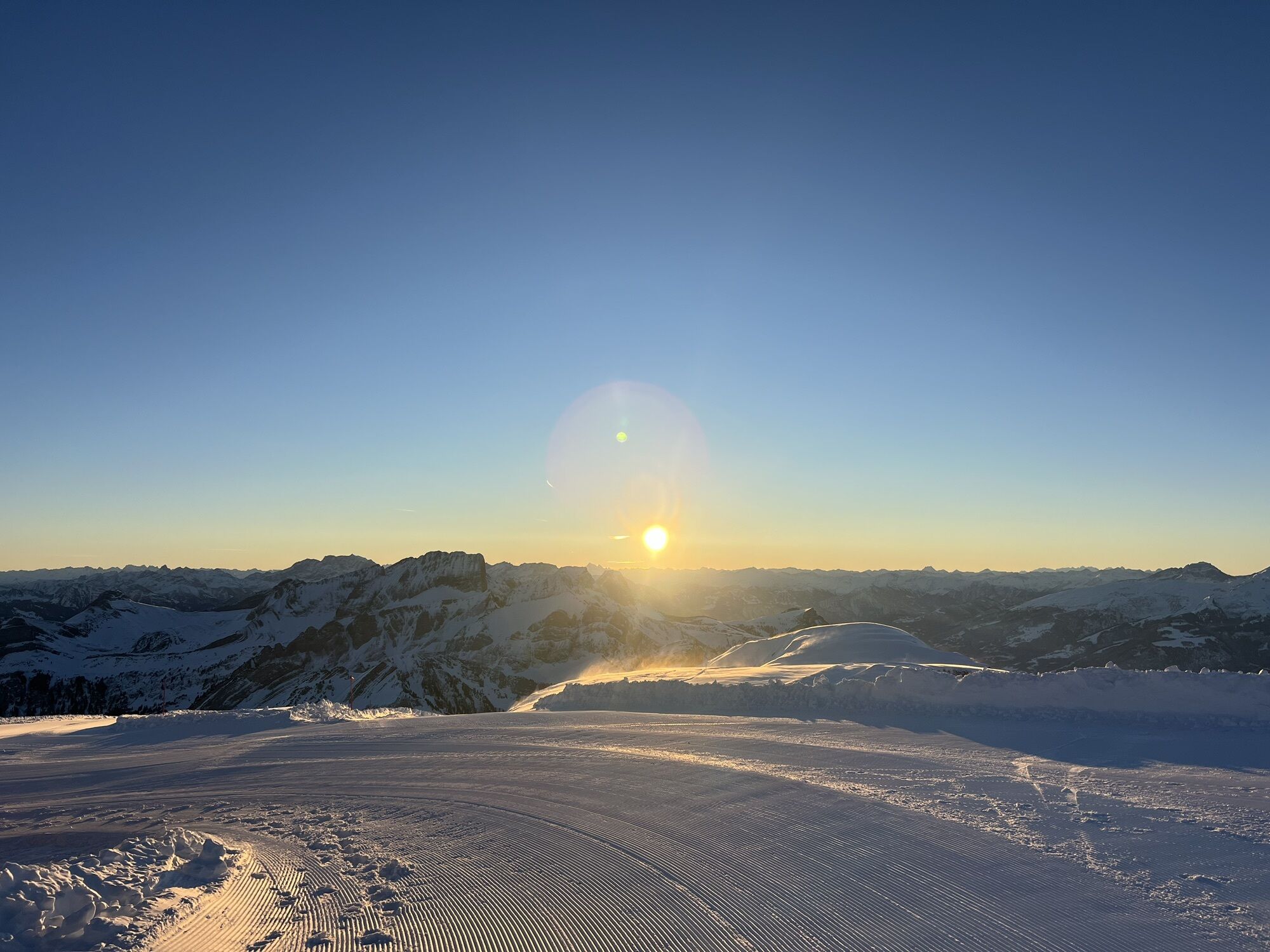
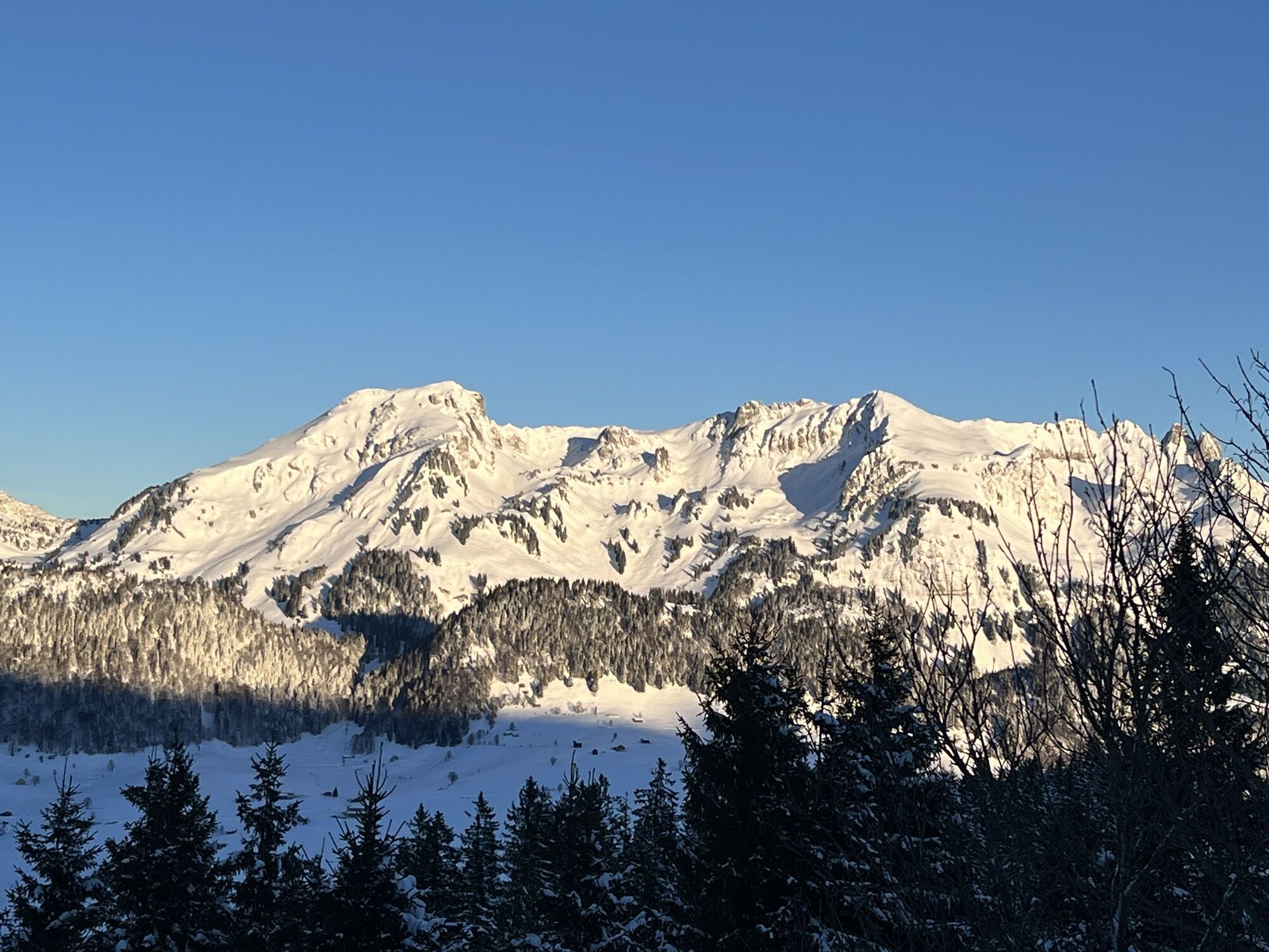
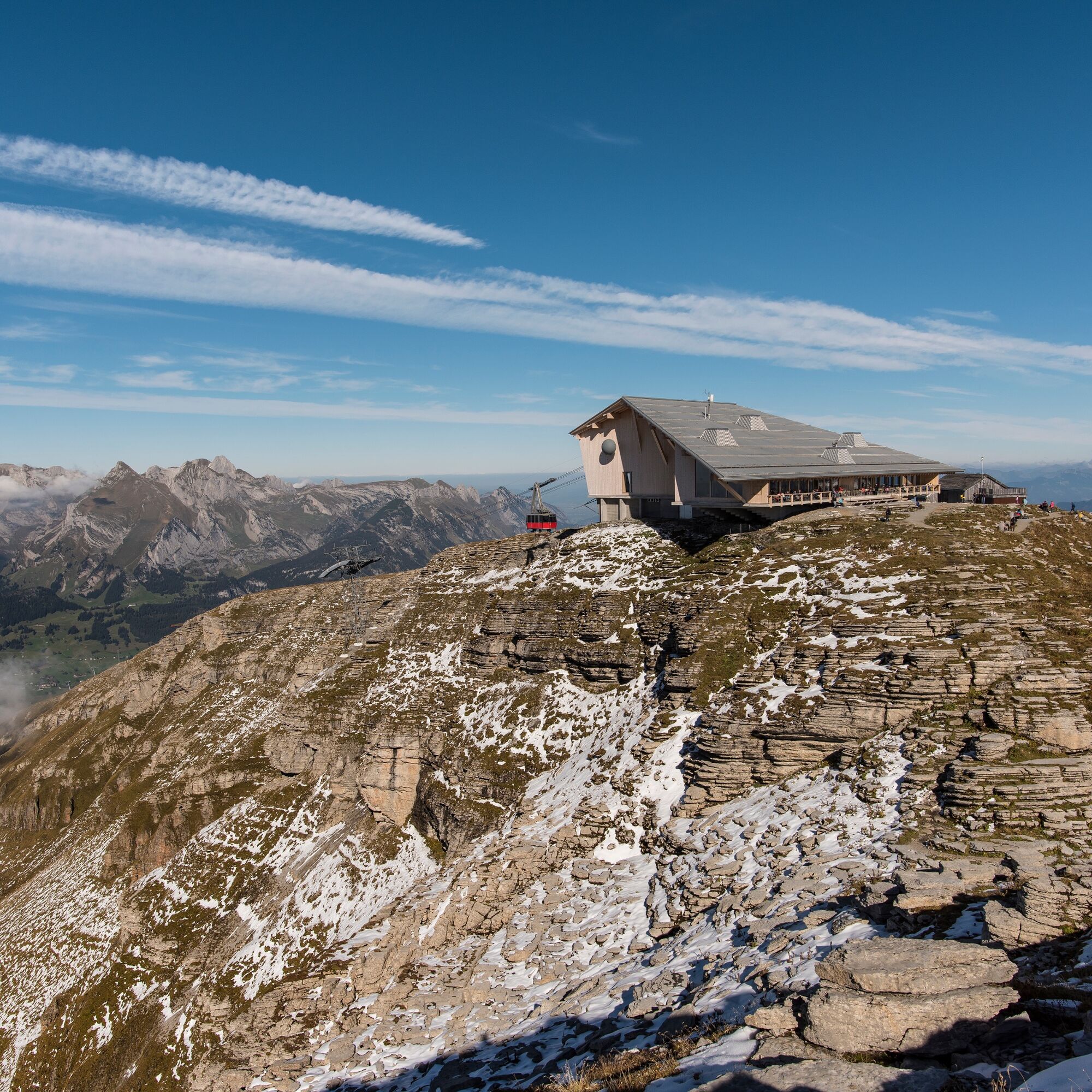
We take the funicular to Iltios. The path leads us past Espel to Hinterrisi and further over Plisen through beautiful alpine flora to the saddle. Over the Schlachtböden - the name goes back to the dispute over this alp - we climb up to Chäserrugg, which has been accessible by aerial cableway since 1972. At the top, we are rewarded with a magnificent view down to Lake Walen and across to the Glarus, Central Swiss, and Grisons Alps.
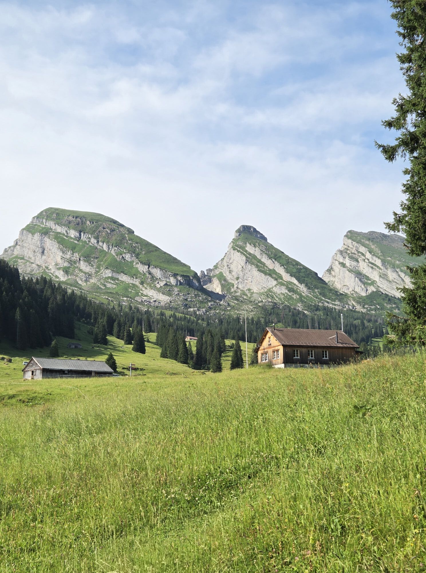
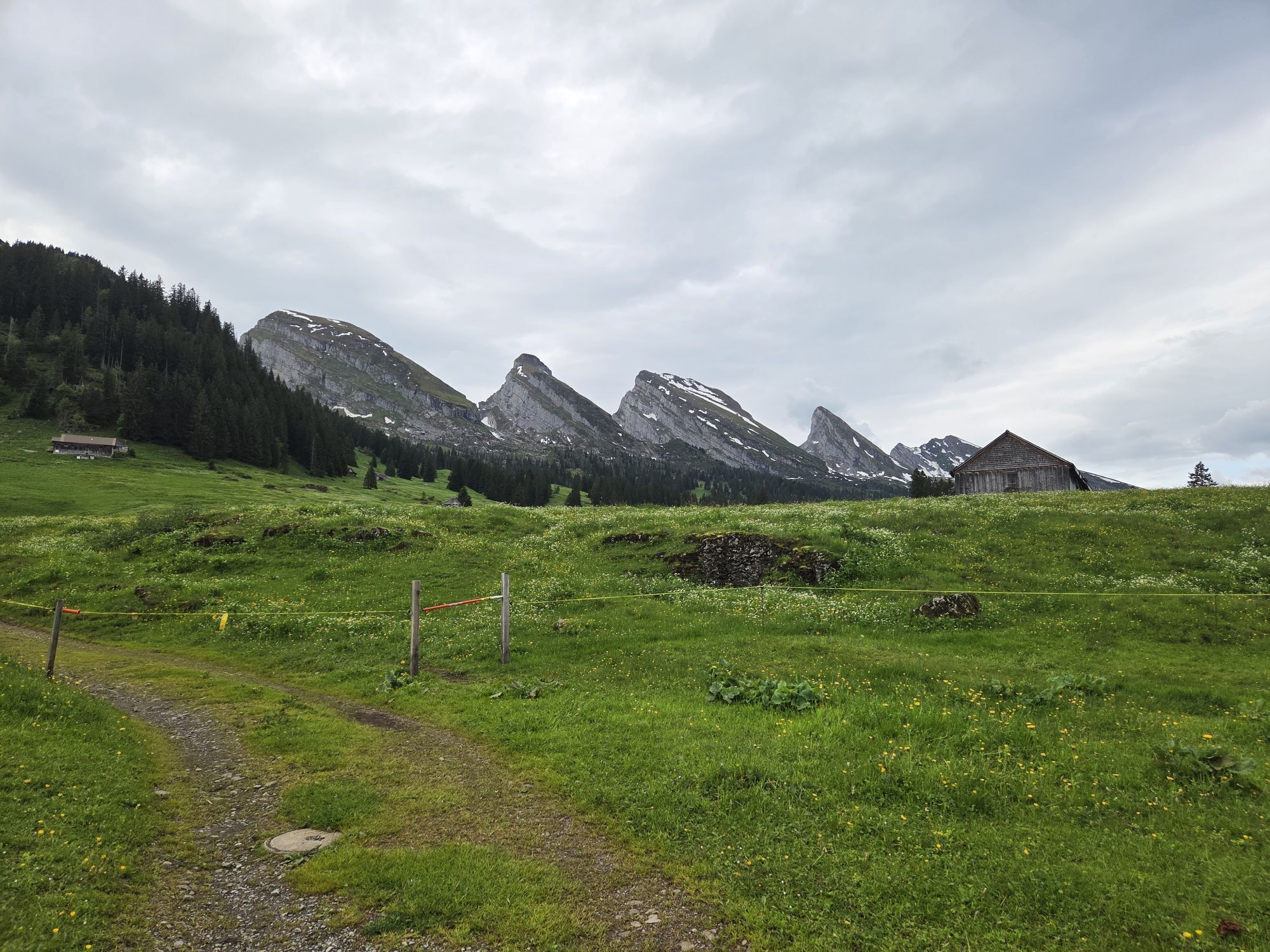
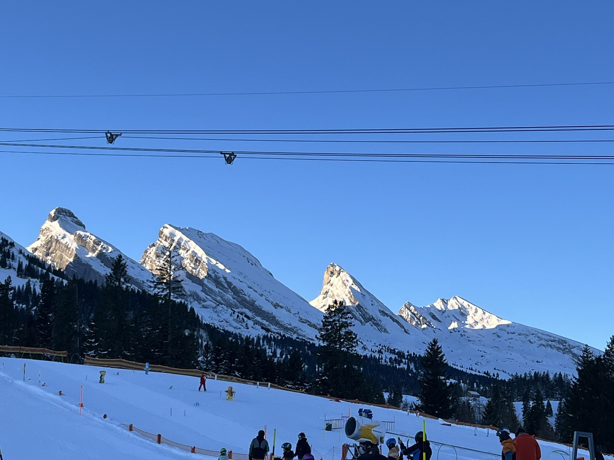
Our path continues to Hinterrugg, the highest of the seven Churfirsten. Here we also have a beautiful view. Over a somewhat steep scree slope, later somewhat gentler, we descend along Hinterrugg via Gluris - Hinterlücheren to Zinggen and Sellamatt. We descend to the valley by chairlift or hike to Alt St. Johann (Variant A).
Note(s)
Inform yourself on the alpine flower educational trail about the alpine flora on the Churfirsten and enrich your knowledge of the splendid and diverse nature. The circular route leads from the Chäserrugg summit to Rosenboden and can be easily completed in 1 ½ hours.
See also
Toggenburg Tourism
Hauptstrasse 104
CH-9658 Wildhaus
Tel: +41 (0)71 999 99 11
E-Mail: info@toggenburg.swiss
Internet: www.toggenburg.swiss
CATERING:
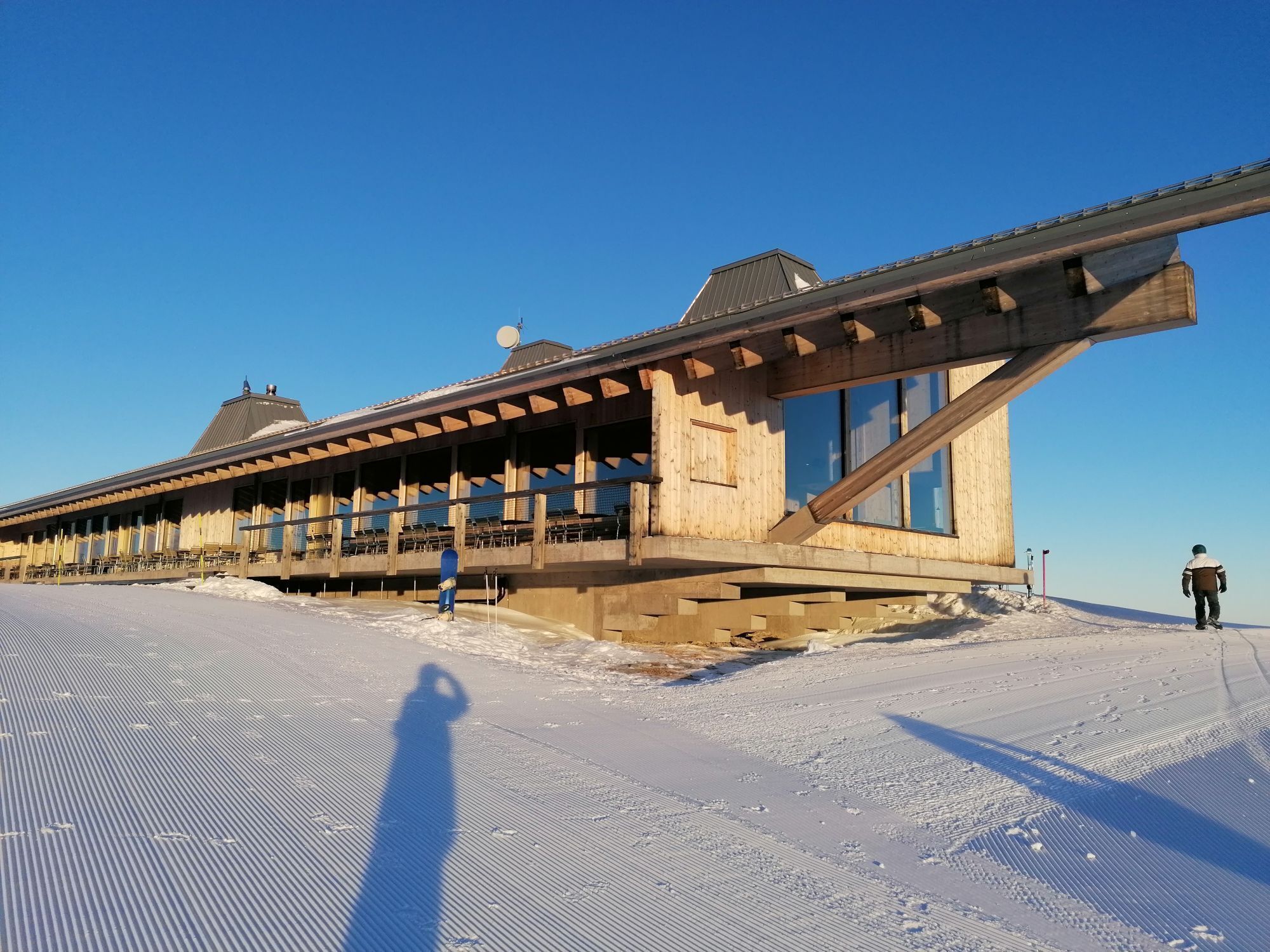
Berghotel Sellamatt, upper station chairlift Alt St. Johann-Selamatt, www.sellamatt.ch
Mountain restaurant Chäserrugg, upper station cableway Chäserrugg, www.chaeserrugg.ch

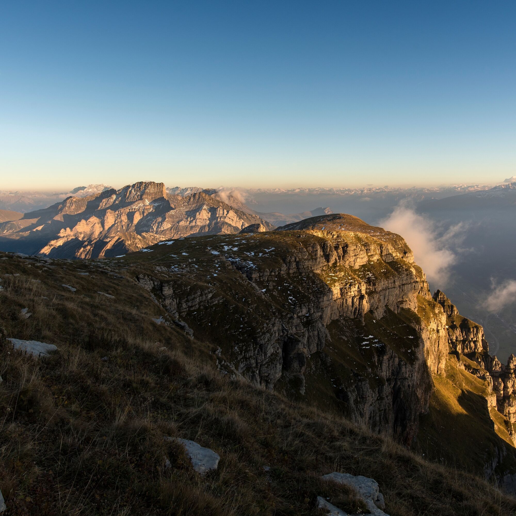

Iltios 1342 m - Hinterrisi 1657 m - Saddle - Schlachtböden 2101 m - Chäserrugg 2262 m - Hinterrugg (2306 m) - Gluristal - Hinterlücheren (1546 m) - Zinggen (1429 m) - Sellamatt (1390) - Alt St. Johann (891 m)
Da
MAPS: www.sg-wanderwege.ch/


Spletne kamere s turneje
Pridobite vpogled
Vedno v živo na mestu z več kot 9.500 spletnimi kamerami. bergfex Kot uporabnik Pro si lahko zdaj ogledate ustrezne spletne kamere za številne izlete v aplikaciji izleti iz. Tako si lahko neposredno ogledate trenutne razmere.

Priljubljeni izleti v okolici
-
4.7
Walensee Riviera Weesen - Quinten
srednjaPohodništvo 10.2 km -
4.7
Riviera Lake Walen Walenstadt-Quinten
srednjaPohodništvo 10.4 km -
4.7
Wasserauen - Seealpsee - Wasserauen
srednjaPohodništvo 7.71 km -
4.9
Säntis-Gipfeltour, Wasserauen / Appenzell Innerrhoden
težkoPohodništvo 21.1 km -
5.0
Staubern-Runde (15.8.2021)
srednjaPohodništvo 8.65 km -
4.7
Alvier
srednjaPohodništvo 3.33 km -
4.6
4-Summit-Route Flumserberg
srednjaPohodništvo 8.65 km -
5.0
Traumhafte 3-Seen/Hütten Runde in Appenzell Schweiz
srednjaVisokogorska tura 19.7 km -
4.6
Schwägalp - Berggasthaus Tierwies - Girenspitz - Säntis
težkoPohodništvo 4.83 km -
5.0
Schrina Alp and Cultural Trail
srednjaTematska pot 11.5 km

Pohodništvo in sledenje


Ne zamudite ponudb in navdiha za naslednje počitnice
Vaš e-poštni naslov je bil dodan na poštni seznam.





