






Hiking from Wolzenalp to Krummenau
Stopnja težavnosti: T1
This hike represents the most direct connection from Wolzenalp to the valley. Along the chairlift, it follows almost the same way as we came up – namely comfortably by the lift – heading back down. It...
This hike represents the most direct connection from Wolzenalp to the valley. Along the chairlift, it follows almost the same way as we came up – namely comfortably by the lift – heading back down. It goes steadily downhill across meadows and grazing land, always sun-drenched, with views over the mountain landscape from Säntis to Churfirsten.

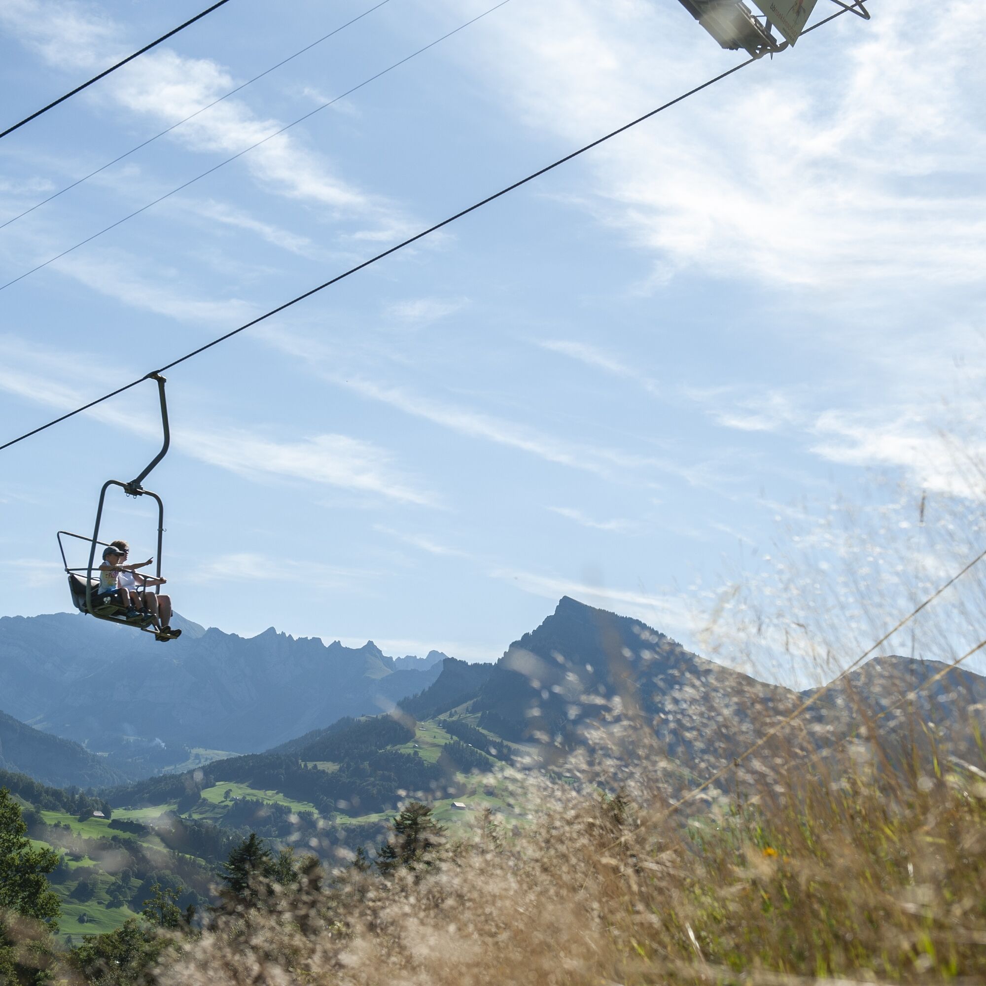
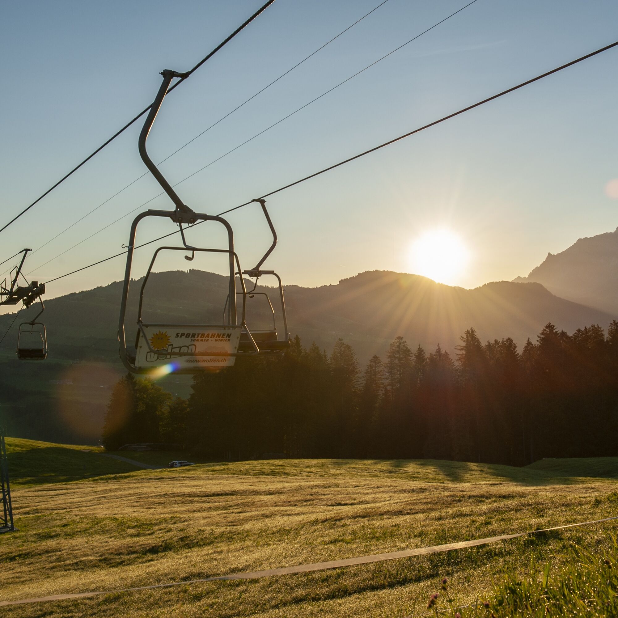
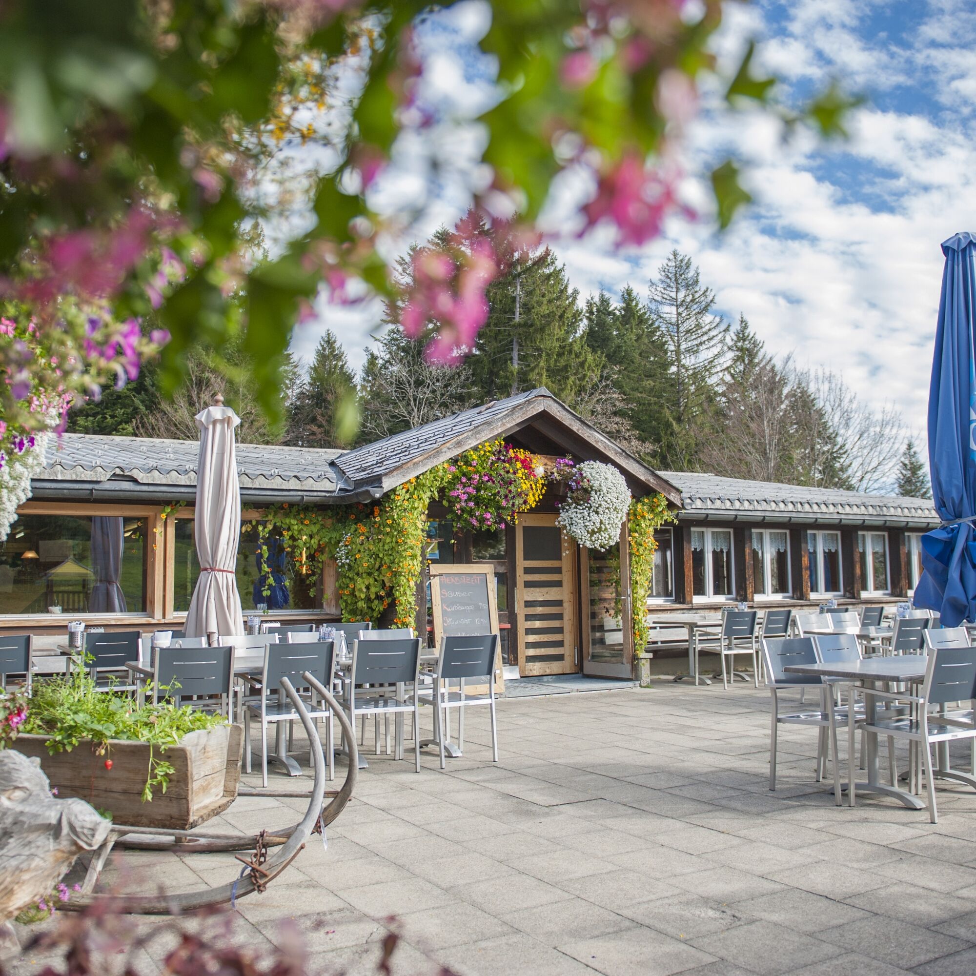
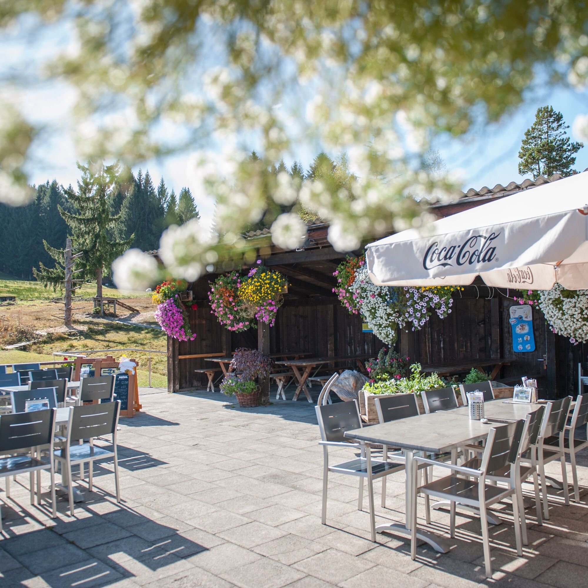
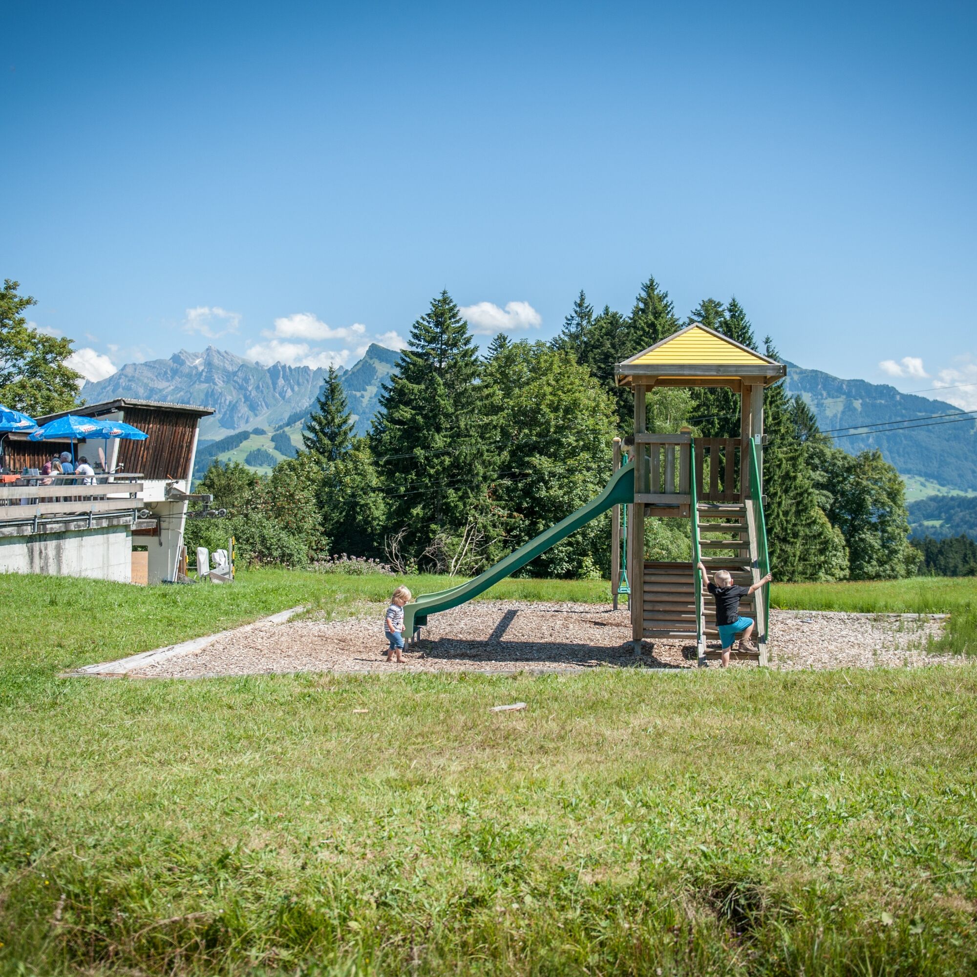
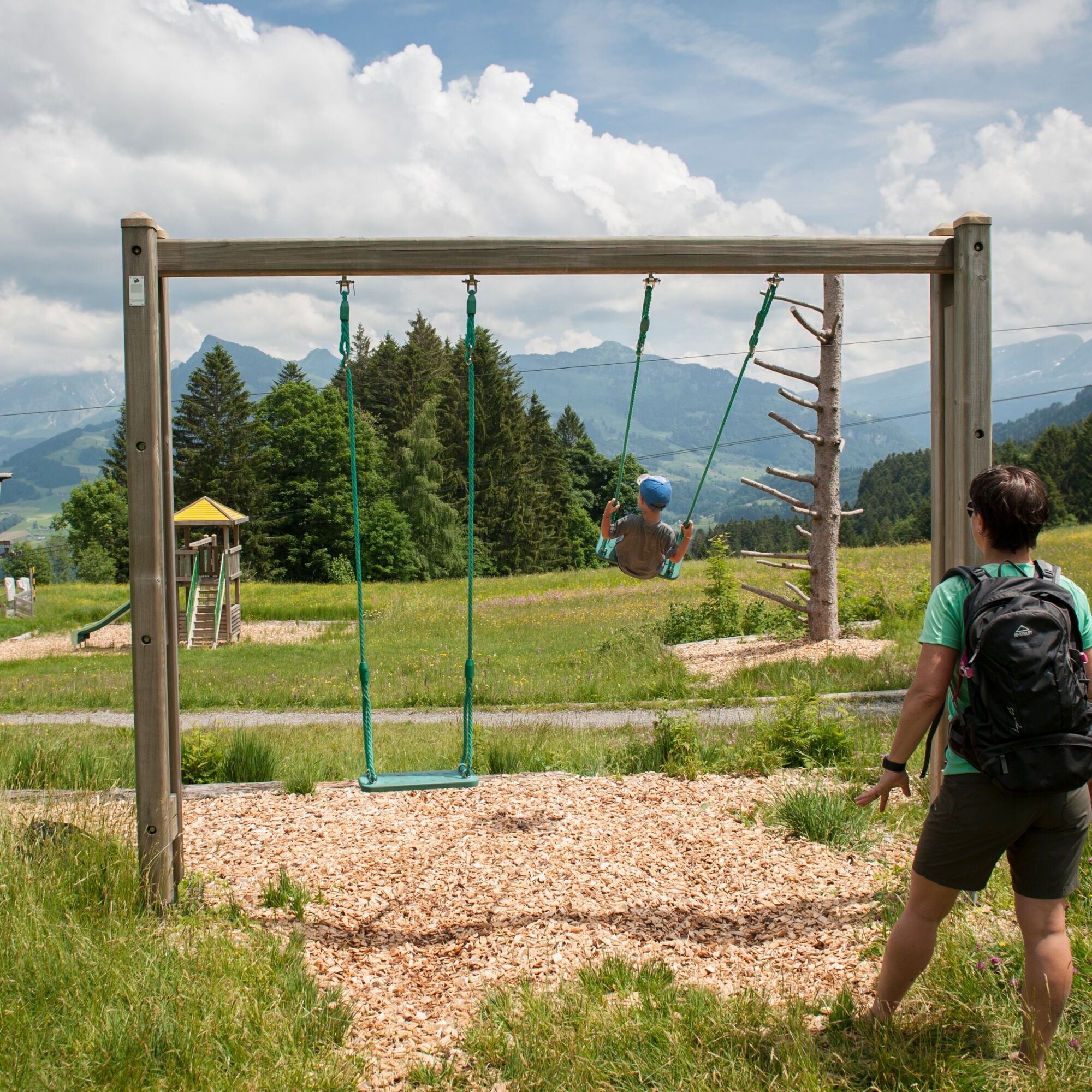
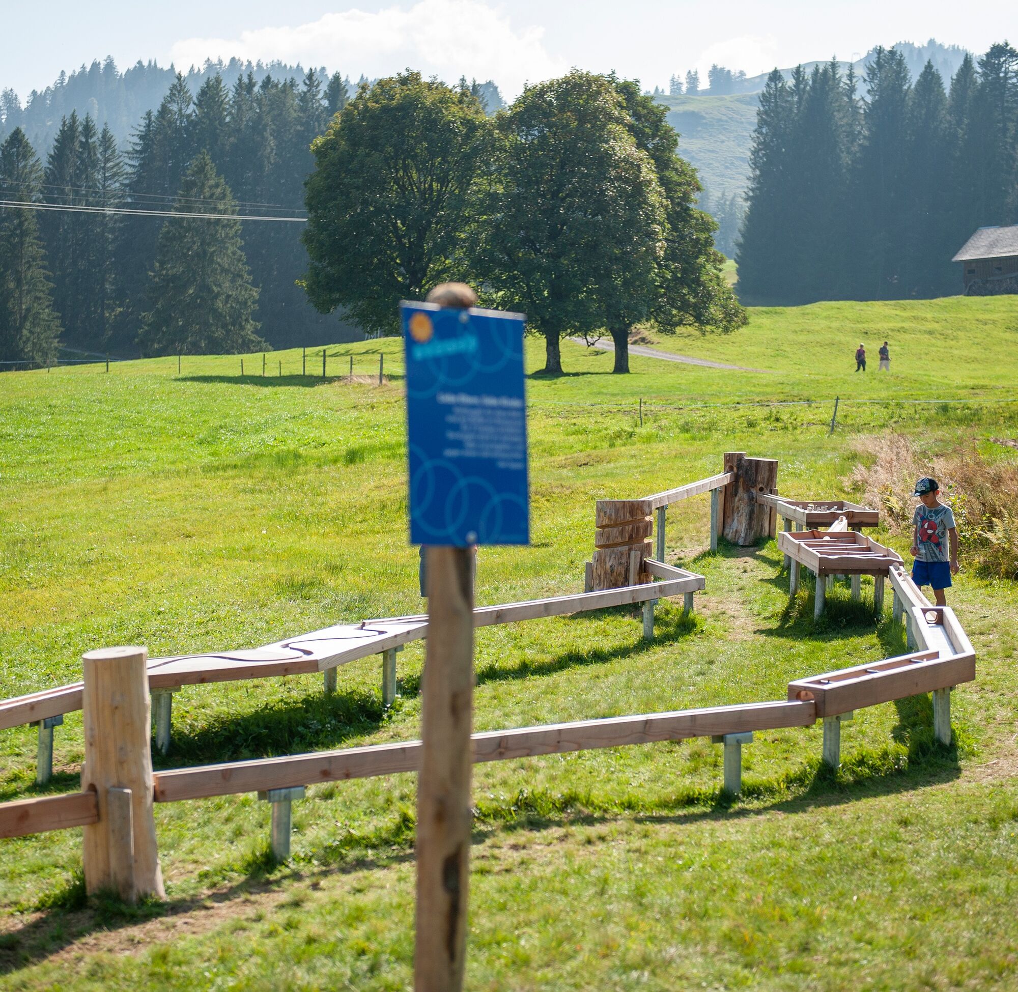
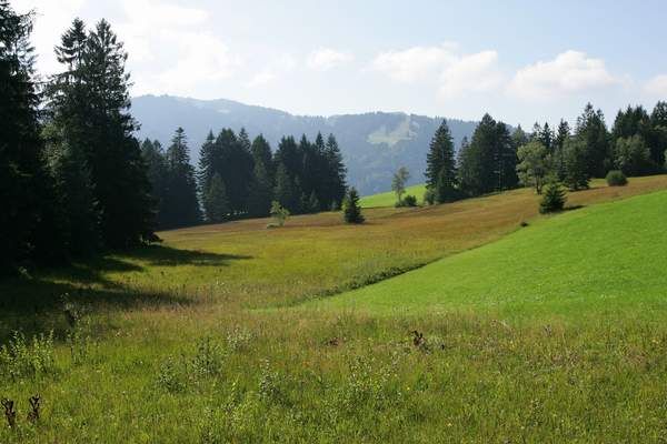

The starting point is the mountain station of the chairlift. The path is well signposted towards Krümmenschwil and Krummenau, the train station, or the parking lot for the sports lifts. You can also follow the signposts with the sticker showing the number 1. First, the path leads over the paved access road to the valley station of the Stalden ski lift. At the first sharp curve, the signpost points straight down the valley over the meadow. The trail comfortably follows a footpath across the meadow and through a small woodland. The path leads across open terrain past farms. The valley station of the chairlift is always in view. It goes under the chairlift across the terrain until the path joins a small street. From there, it is a short walk across the road to the valley station or onward via crossing the Thur to the parking lot of the Krummenau-Wolzenalp sports lift or to the train station or bus stop.
Da
Da
Light day backpack (approx. 15 litres) with rain cover, comfortable footwear, weather-appropriate clothing, sun and rain protection, possibly provisions and drinking water, possibly a city map
The path is signposted throughout.
From the greater Zurich area and Central Switzerland:
Take the A3 at Reichenburg towards Rapperswil and then over the Ricken Pass to Krummenau.
From Eastern Switzerland:
Drive from St. Gallen on the A1 to Wil, take the Toggenburg exit. Follow the main road to Krummenau.
From southern Germany:
Via Bregenz and St. Margrethen on the A13 to Haag and take the exit towards Toggenburg/Wildhaus. Or via Konstanz to Wil, then take the Toggenburg exit and follow the main road to Krummenau.
By train or post bus to Krummenau. Exact details can be found at www.sbb.ch.
Then take the chairlift to Wolzenalp.
There is a large parking lot below the valley station.
T1
Toggenburg Tourism
Hauptstrasse 104
CH-9658 Wildhaus
Tel: +41 (0)71 999 99 11
info@toggenburg.swiss
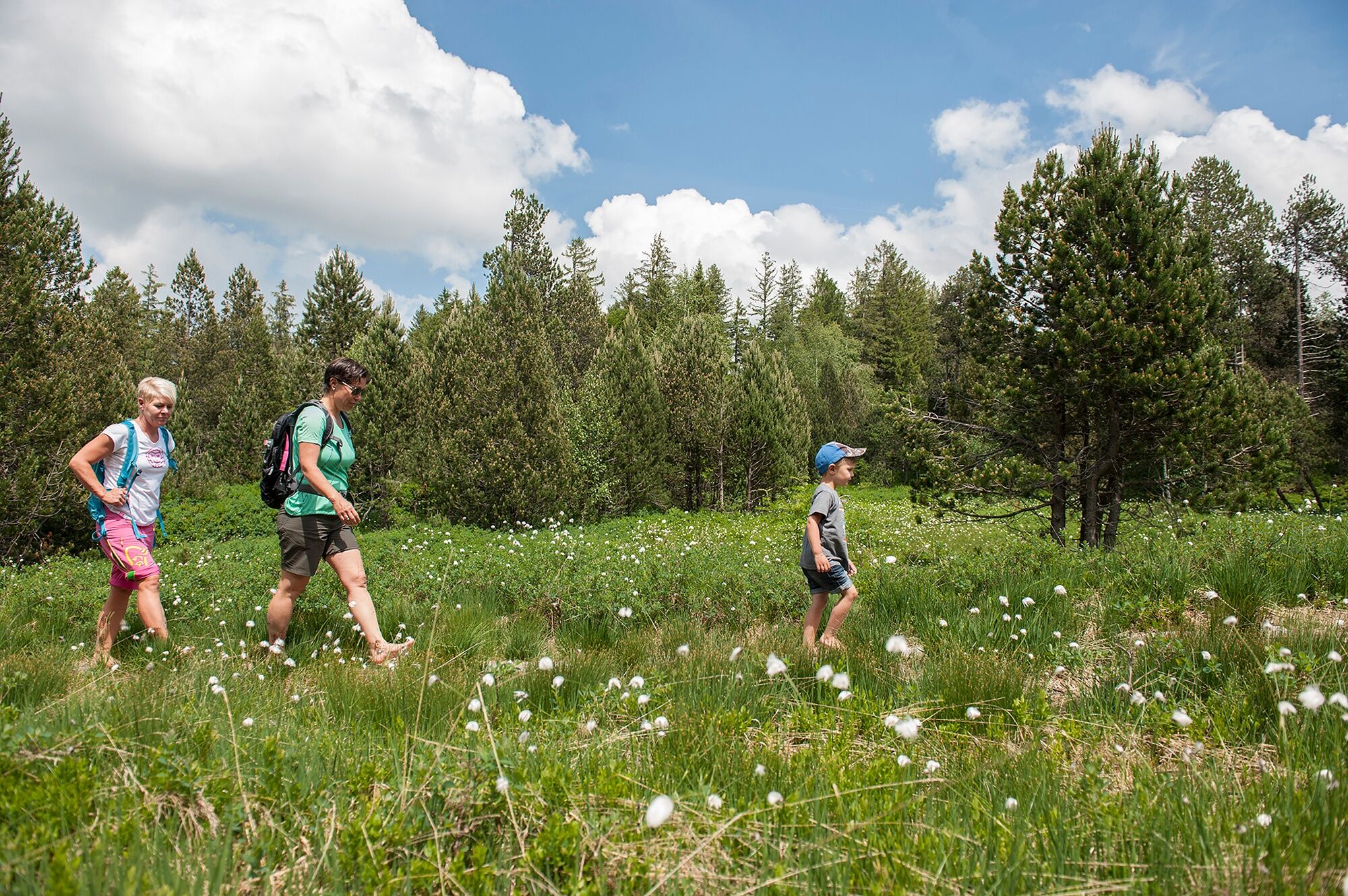
It is worth exploring the peatland circular trail on Wolzenalp barefoot.
Pridobite vpogled
Vedno v živo na mestu z več kot 9.500 spletnimi kamerami. bergfex Kot uporabnik Pro si lahko zdaj ogledate ustrezne spletne kamere za številne izlete v aplikaciji izleti iz. Tako si lahko neposredno ogledate trenutne razmere.
Priljubljeni izleti v okolici
-
4.8
Walensee Riviera Weesen - Quinten
srednjaPohodništvo 10.2 km -
4.7
Riviera Lake Walen Walenstadt-Quinten
srednjaPohodništvo 10.4 km -
4.6
Weesen - Quinten - Walenstadt
težkoPohodništvo 20.6 km -
4.9
Säntis-Gipfeltour, Wasserauen / Appenzell Innerrhoden
težkoPohodništvo 21.1 km -
4.6
Säntis
srednjaGorski pohodništvo 17.5 km -
5.0
Schrina Alp and Cultural Trail
srednjaTematska pot 11.5 km -
4.6
Schwägalp - Berggasthaus Tierwies - Girenspitz - Säntis
težkoPohodništvo 4.83 km -
4.6
Amden - Speer (Rundkurs)
svetlobaPohodništvo 17.6 km -
4.7
Quinten-Trail 453
srednjaTek 8.97 km -
4.8
Mountain route over Rotsteinpass to Säntis
težkoPohodništvo 8.53 km

Pohodništvo in sledenje


Ne zamudite ponudb in navdiha za naslednje počitnice
Vaš e-poštni naslov je bil dodan na poštni seznam.





