







Ski tour on the Gulmen near Vorder Höhi
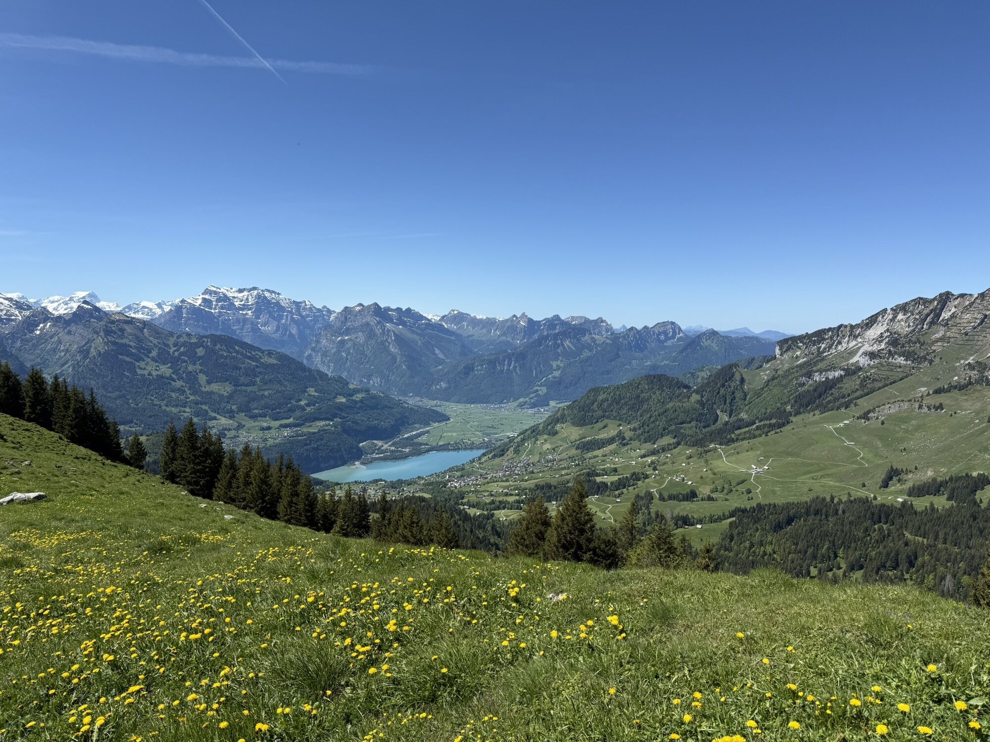
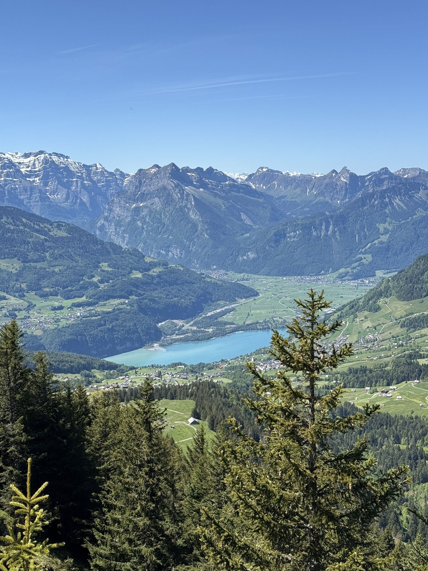
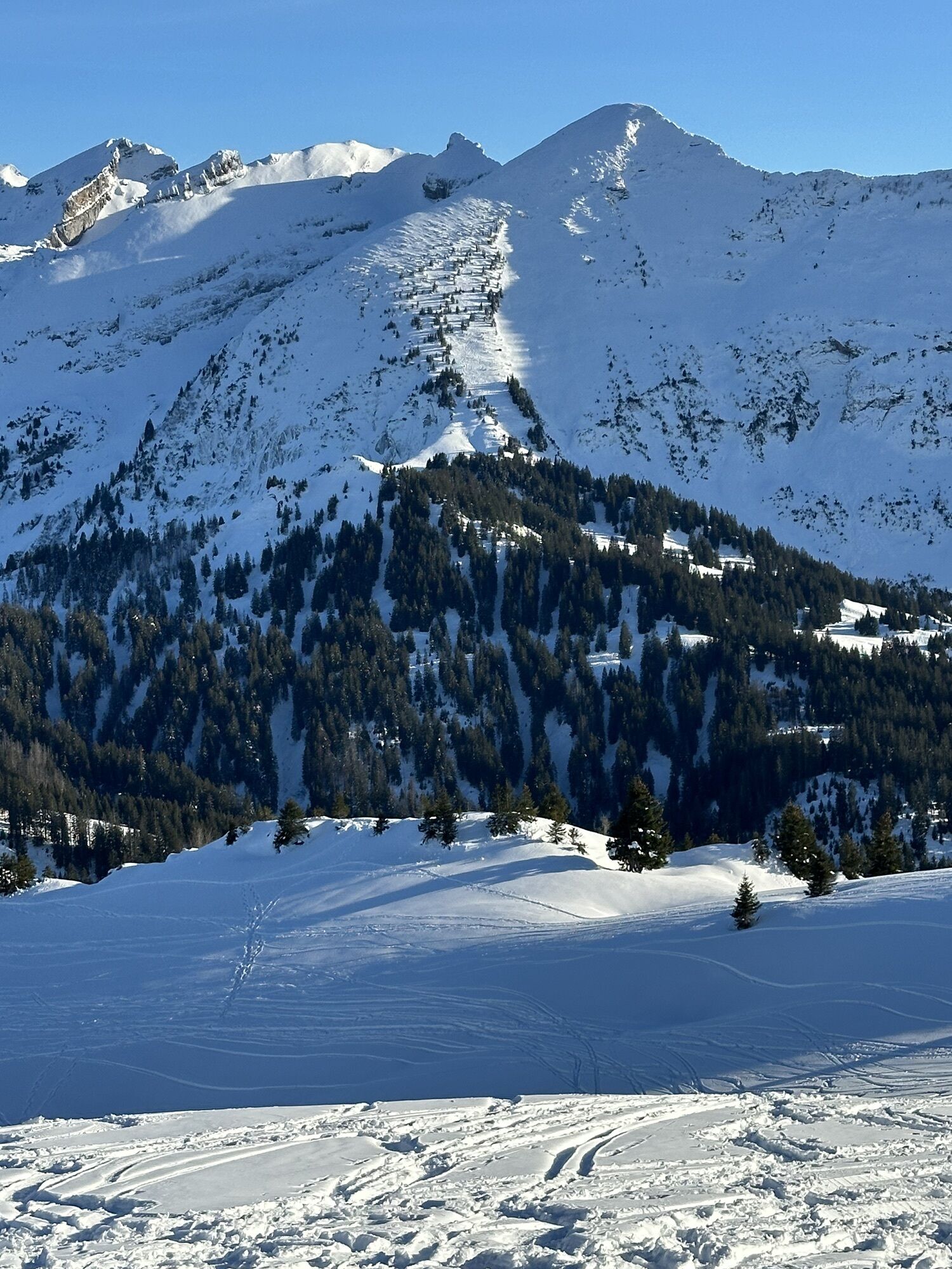
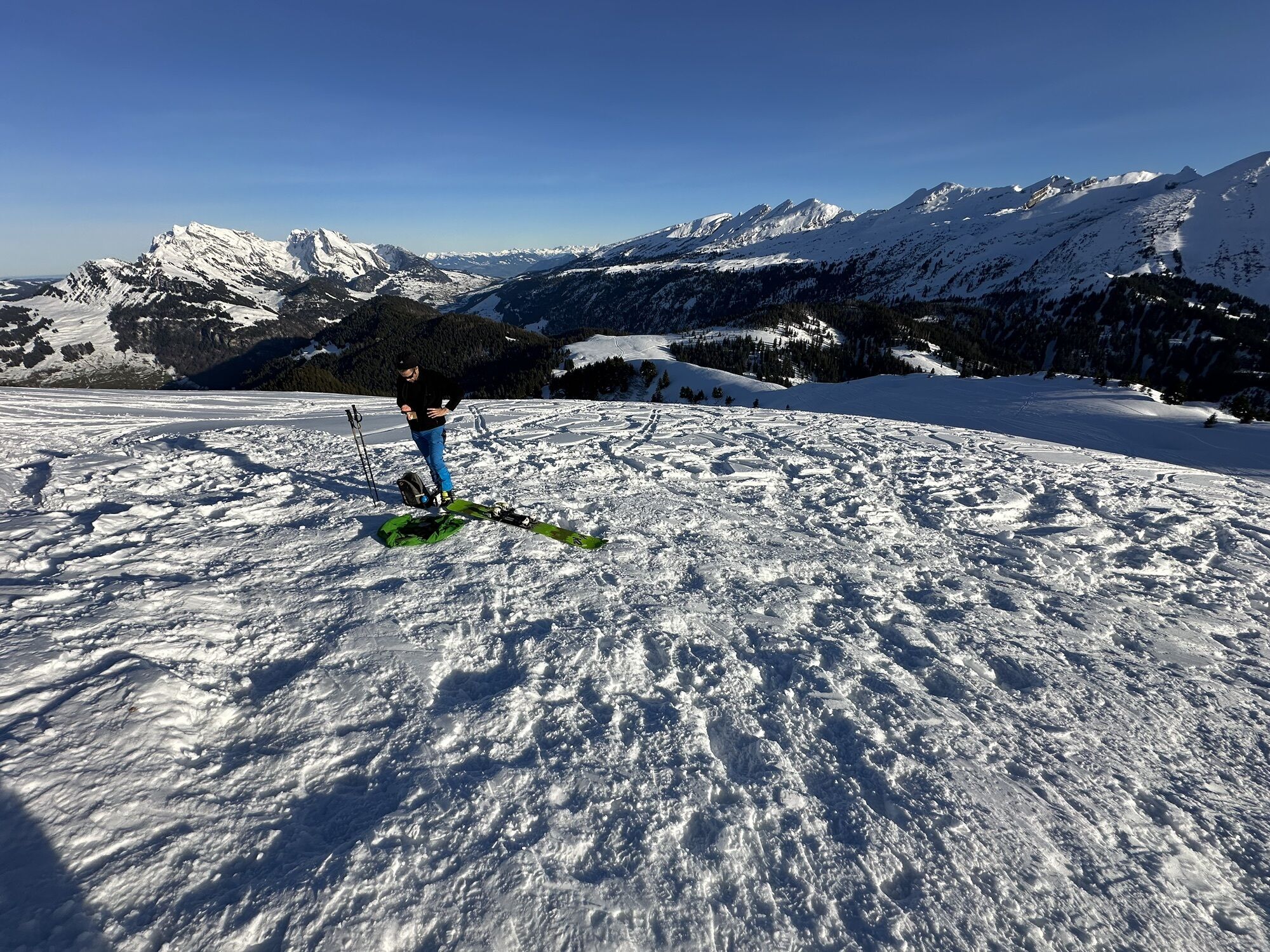
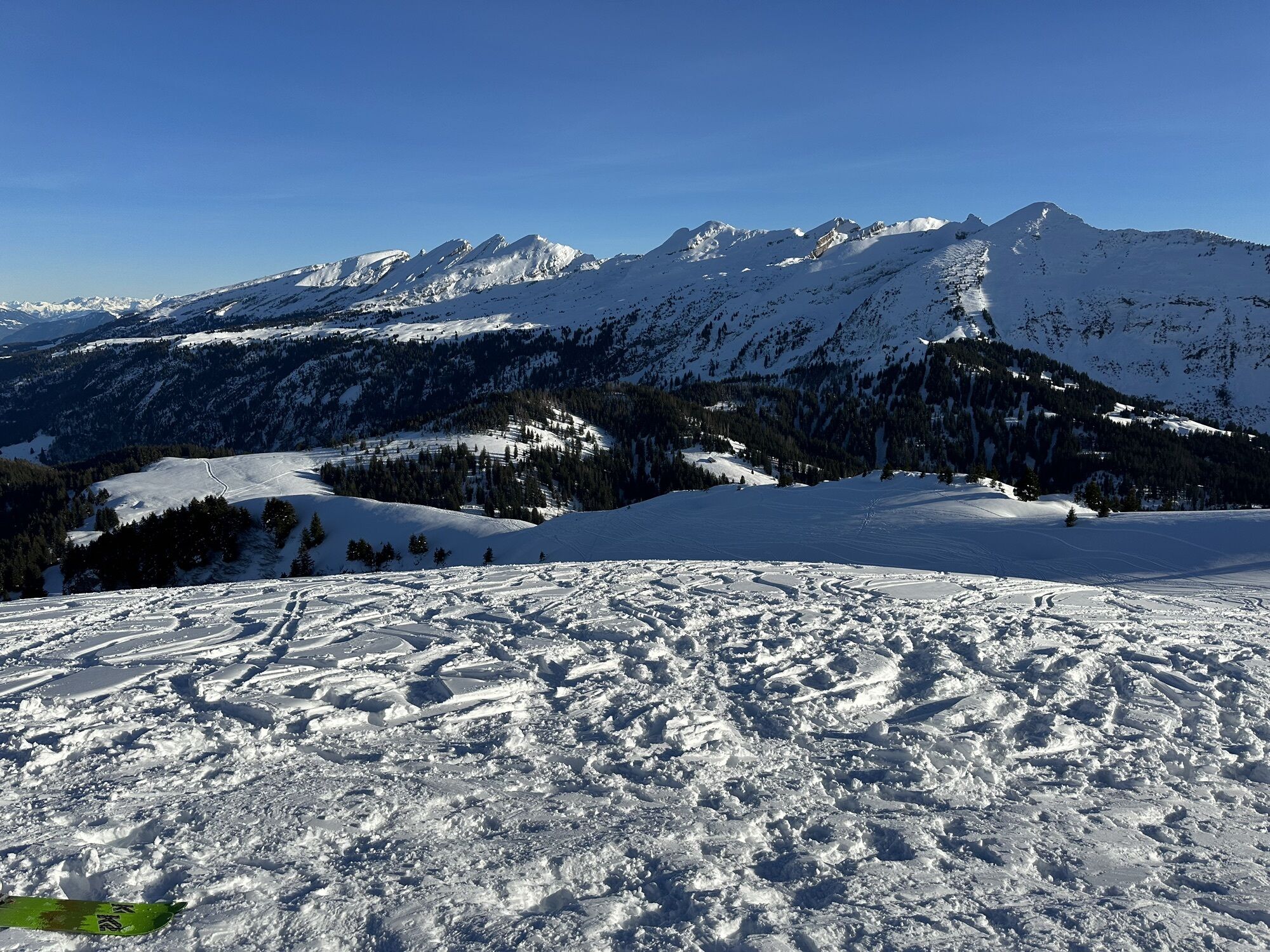
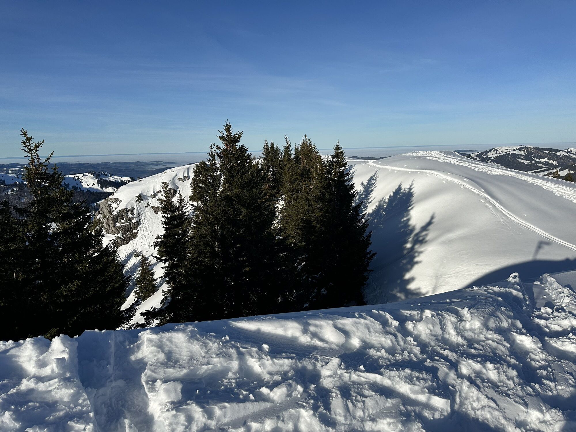
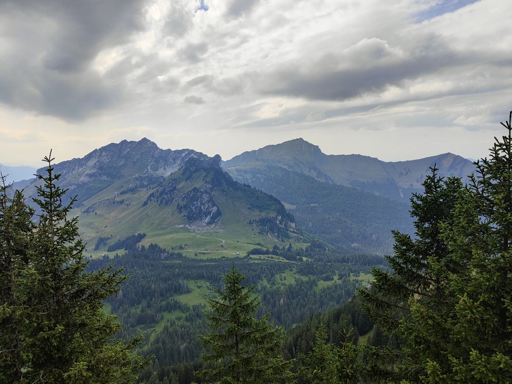
From the old ski lift parking lot, first go over Eggli to Wier. Then we skin through the winter landscape over the Vorder Höhi up to the Gulme. But the best is yet to come: the descent through the forests...
From the old ski lift parking lot, first go over Eggli to Wier. Then we skin through the winter landscape over the Vorder Höhi up to the Gulme. But the best is yet to come: the descent through the forests and snow-covered meadows back to the starting point.

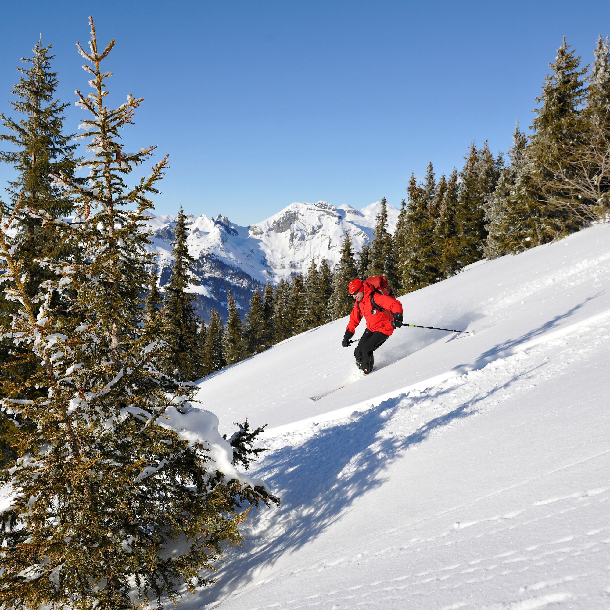

From the Stein SG, Dorf bus stop (838 m) southwards on the main road over the Thur and then southwestwards to Eggli (910 m). Continue in the same direction directly over the meadows past Stigenrain onto the mountain road and along it to its end at about 1200 m. Now continue climbing through the Dürrenbach forest in the area of the summer path and eastwards around the Farestöggli to the Vorderhöhi (1533 m). From the pass westwards over the ridge to the Gulme. The short steep slope is climbed along the ridge.
Da
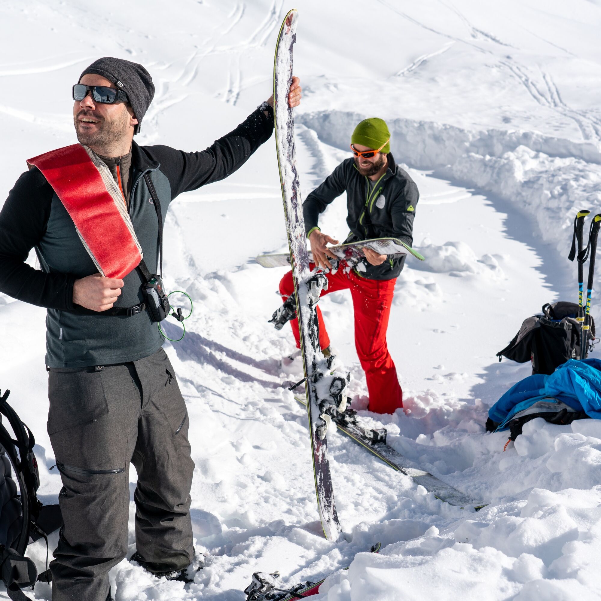
Ski touring skis, skins, possibly crampons, ski poles, ski helmet, avalanche equipment with avalanche transceiver, probe, and shovel, ski touring backpack (about 30 liters) with avalanche airbag and rain cover, ski touring boots, ski socks, warm and durable layered clothing, ski touring jacket and pants, light gloves for the ascent, warm gloves for the descent, hat/headband, possibly ski goggles, sun and rain protection, provisions and drinking water, thermos with hot drink, first aid kit, pocket knife, mobile phone, headlamp and reflectors, maps, bivy sack and rescue blanket
Note the avalanche situation.
Take the A3 at Reichenburg towards Rapperswil and then over the Ricken Pass to Wattwil. Then go up Toggenburg to Stein. From Eastern Switzerland:
From St. Gallen to Herisau and onward via Wasserfluh to Lichtensteig. Or drive from St. Gallen to Wil, take the Toggenburg exit. Follow the main road to Stein. From the southern German region:
Via Bregenz and St. Margrethen on the A13 to Haag and take the exit towards Toggenburg/Wildhaus. Or via Konstanz to Wil, then take the Toggenburg exit and follow the main road to Stein.
By train to Nesslau Neu St. Johann station and then by bus to Stein Dorf.
From the Rhine Valley by train to Buchs SG station and then by bus to Stein Dorf.
Parking is available at the old ski lift parking lot in Stein towards Laad.
Note adjoining wildlife protection zones.
Toggenburg Tourism
Hauptstrasse 104
9658 Wildhaus
+41 71 999 99 11
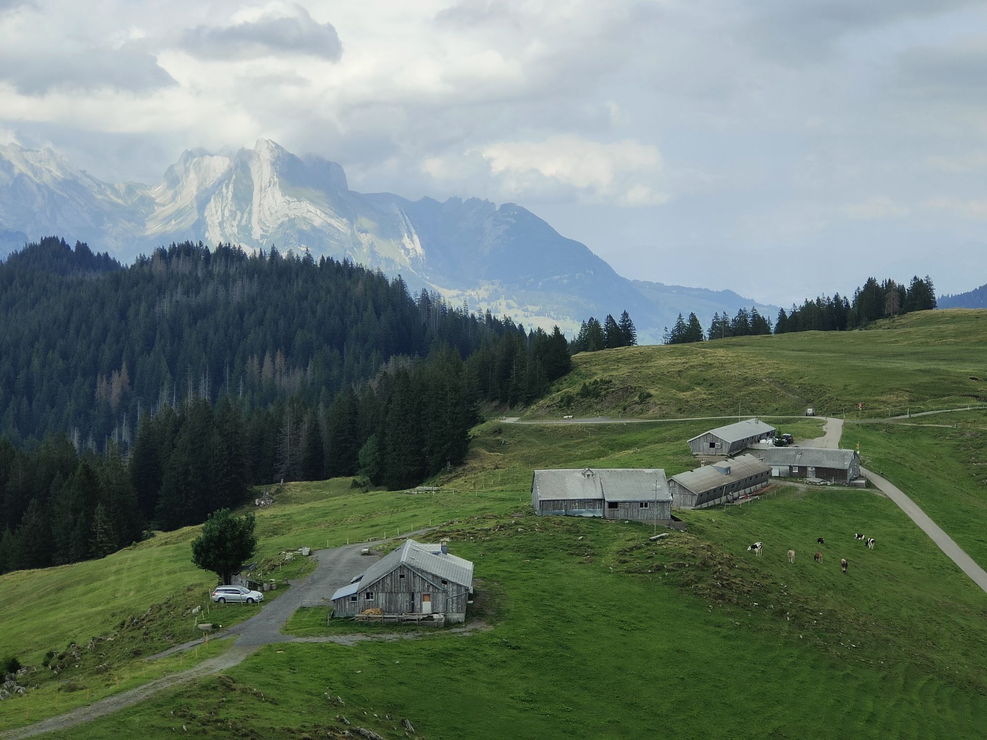
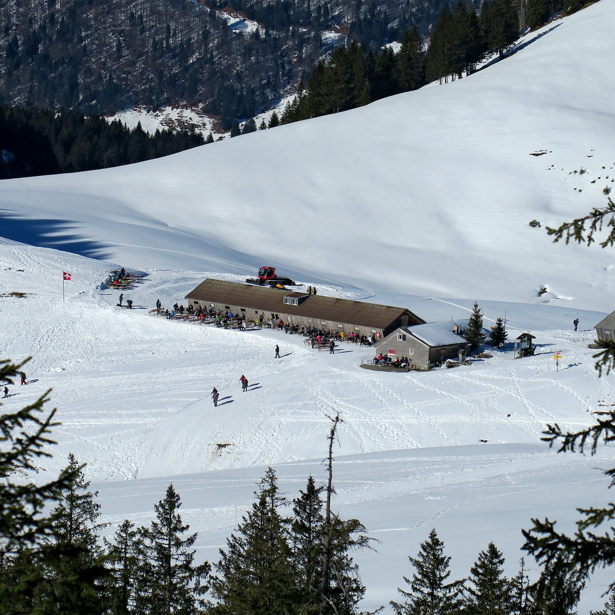
The Alpwirtschaft Vorder Höhi invites you to a well-deserved break.

Spletne kamere s turneje
Pridobite vpogled Vedno v živo na mestu z več kot 9.500 spletnimi kamerami. bergfex Kot uporabnik Pro si lahko zdaj ogledate ustrezne spletne kamere za številne izlete v aplikaciji izleti iz. Tako si lahko neposredno ogledate trenutne razmere. Priljubljeni izleti v okolici
- 4.8
Walensee Riviera Weesen - Quinten
srednjaPohodništvo 10.2 km - 4.7
Riviera Lake Walen Walenstadt-Quinten
srednjaPohodništvo 10.4 km - 4.6
Weesen - Quinten - Walenstadt
težkoPohodništvo 20.6 km - 4.9
Säntis-Gipfeltour, Wasserauen / Appenzell Innerrhoden
težkoPohodništvo 21.1 km - 4.5
7-Peak Tour Flumserberg
težkoPohodništvo 15.0 km - 4.6
Säntis
srednjaGorski pohodništvo 17.5 km - 5.0
Schrina Alp and Cultural Trail
srednjaTematska pot 11.5 km - 4.5
4-Summit-Route Flumserberg
srednjaPohodništvo 8.65 km - 4.9
Fronalpstock GL
srednjaPohodništvo 7.84 km - 4.6
Schwägalp - Berggasthaus Tierwies - Girenspitz - Säntis
težkoPohodništvo 4.83 km
Pohodništvo in sledenje


Ne zamudite ponudb in navdiha za naslednje počitnice
Vaš e-poštni naslov je bil dodan na poštni seznam.





