


Forests of the Randen
The beautiful and hilly landscape of the Klettgau in northern Switzerland invites you to wonderful trail rides. Numerous provision and accommodation options are available to you as a trail rider. Experienced...
The beautiful and hilly landscape of the Klettgau in northern Switzerland invites you to wonderful trail rides. Numerous provision and accommodation options are available to you as a trail rider. Experienced riders from the region offer guided rides and look forward to showing you the most beautiful riding paths right on your doorstep. Experience the beautiful forests of the Randen on the plateau-like ridge from the back of the horse.

Helmet, functional riding equipment, provisions.
The route can be started from various locations.
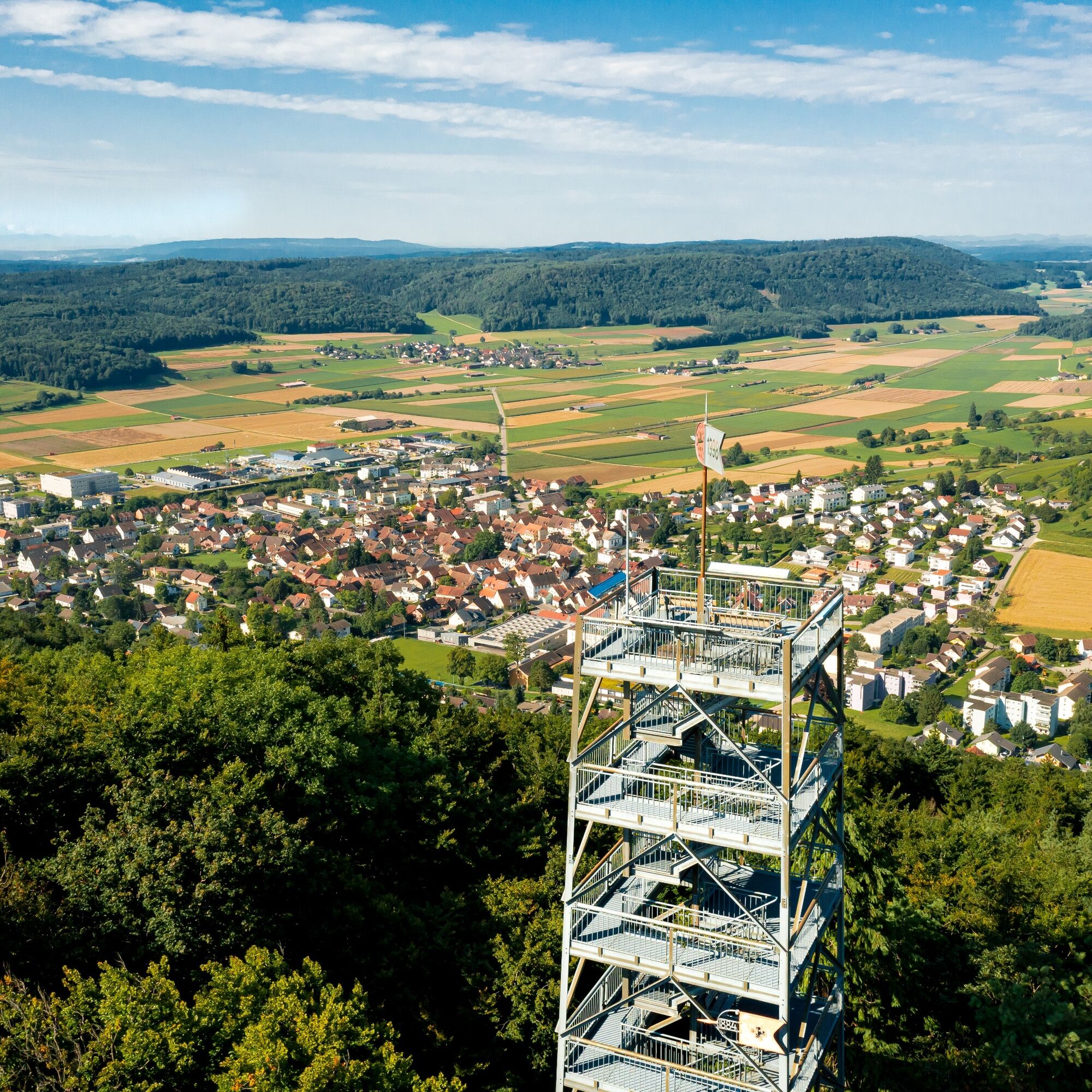
Beringer Randenturm, Beringen
Restaurant Eschheimertal
Restaurant Babental, Schleitheim
Priljubljeni izleti v okolici
-
4.6
Small Rheinfall Circular Route
svetlobaPohodništvo 3.48 km -
4.8
Rundwanderweg Rheinau
svetlobaPohodništvo 6.85 km -
5.0
Circular hike over the Hinterranden
srednjaPohodništvo 11.0 km -
4.5
Nature trail Merishausen: Brown route
srednjaTematska pot 11.4 km -
Circular hike Schaffhausen - Rhine Falls - Schaffhausen
srednjaPohodništvo 10.0 km -
4.5
SchweizMobil 593: Nordspitze Panoramaweg
srednjaPohodništvo 13.7 km -
SwitzerlandMobility 896: Rhine Falls Circular Route
srednjaPohodništvo 7.12 km -
5.0
Circular hike to the Judenlöcher at Hohenlupfen Castle
srednjaPohodništvo 7.26 km -
5.0
Hegau Waterfall Route
srednjaPohodništvo 9.28 km -
Castle trail 1 - From Tengen via Blumenfeld and back via Büßlingen
srednjaPohodništvo 10.1 km

Pohodništvo in sledenje


Ne zamudite ponudb in navdiha za naslednje počitnice
Vaš e-poštni naslov je bil dodan na poštni seznam.