


E-Bike & Hike Spitzmeilenhütte SAC
Stopnja težavnosti: 2
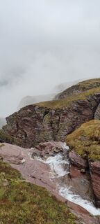
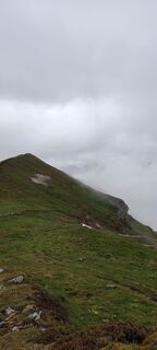
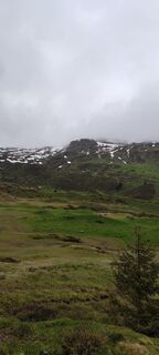
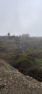
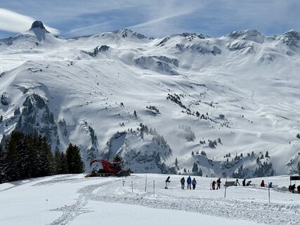
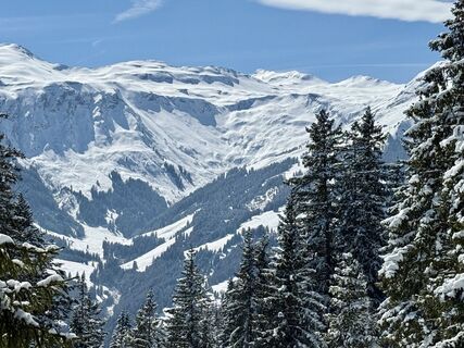
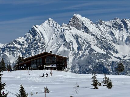
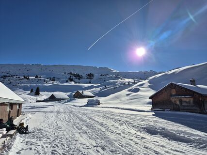
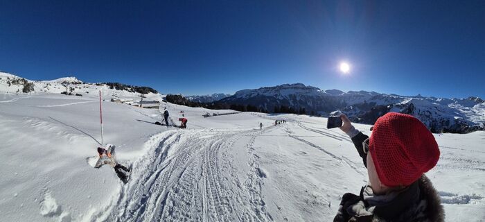
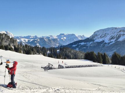
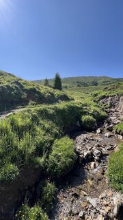
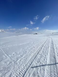
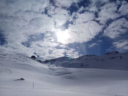
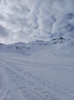
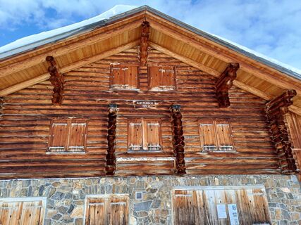
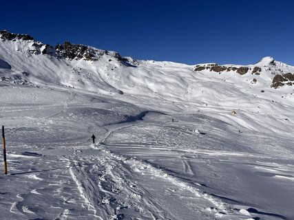
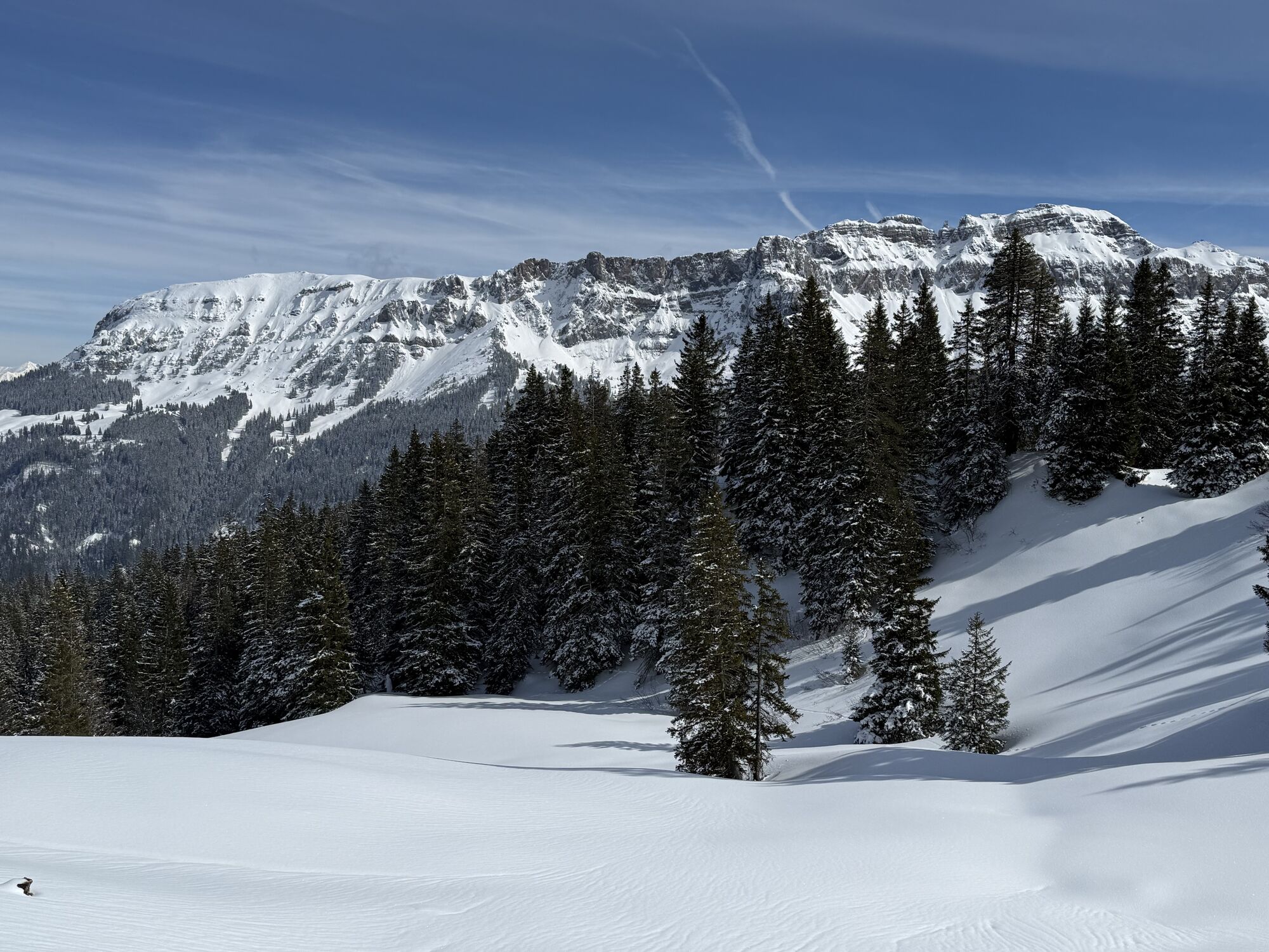
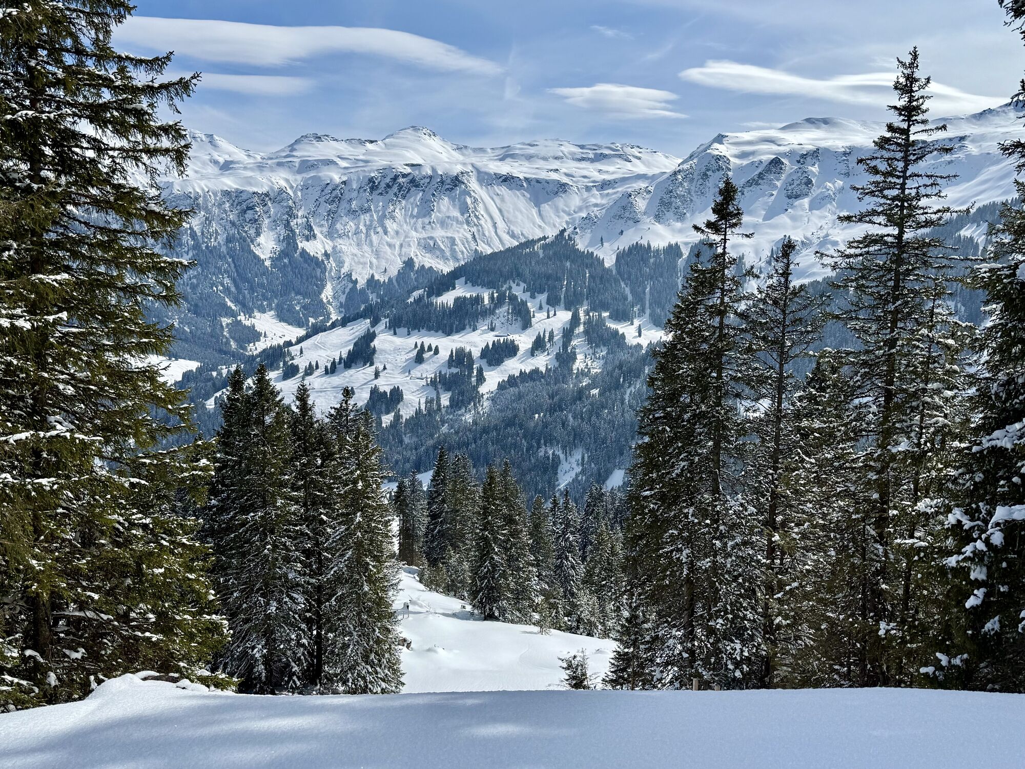
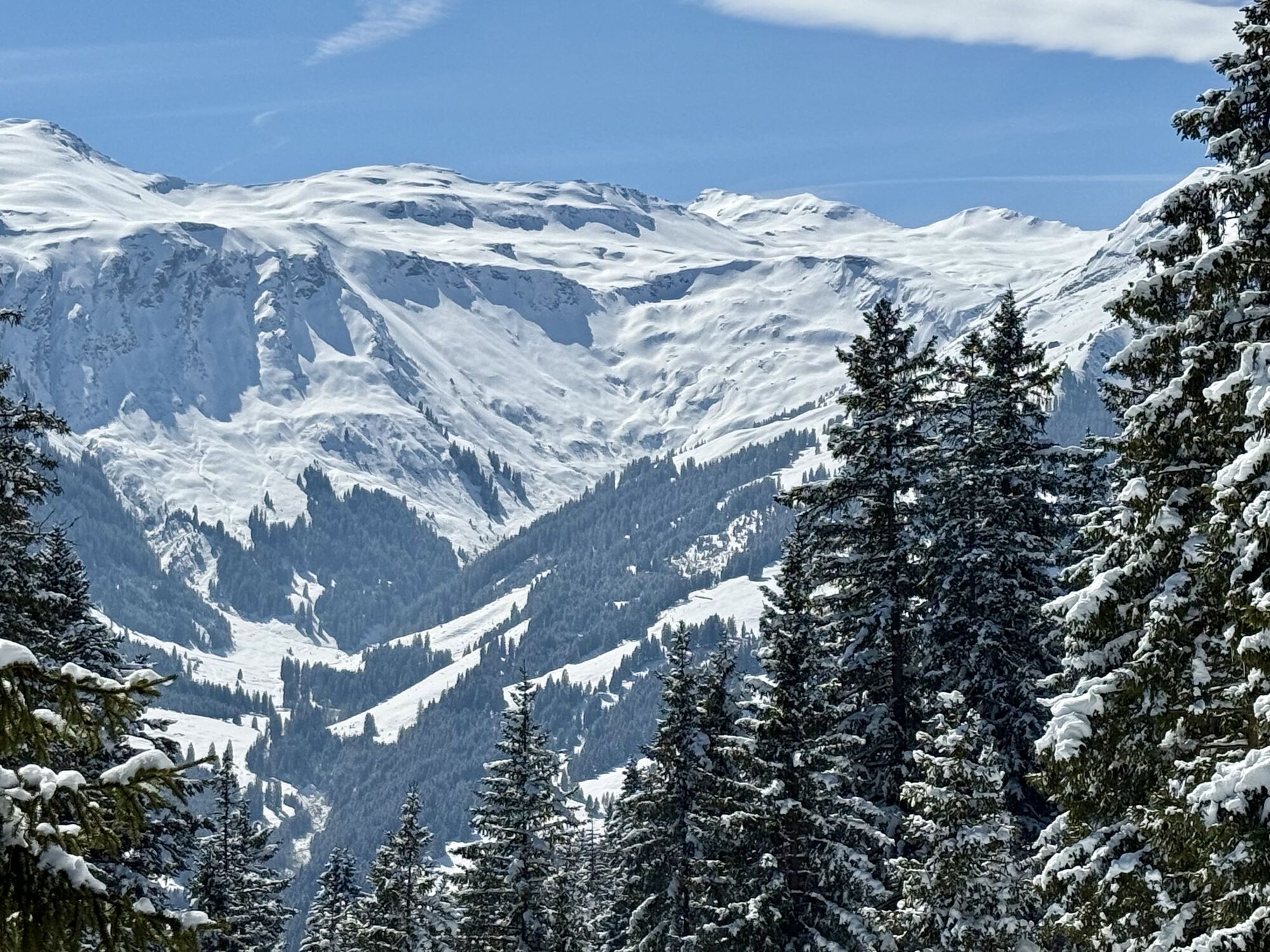
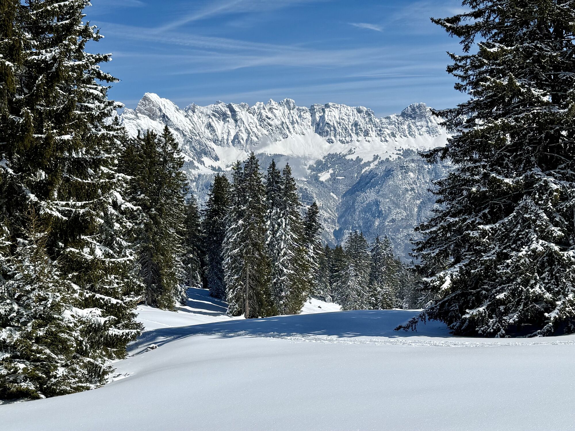
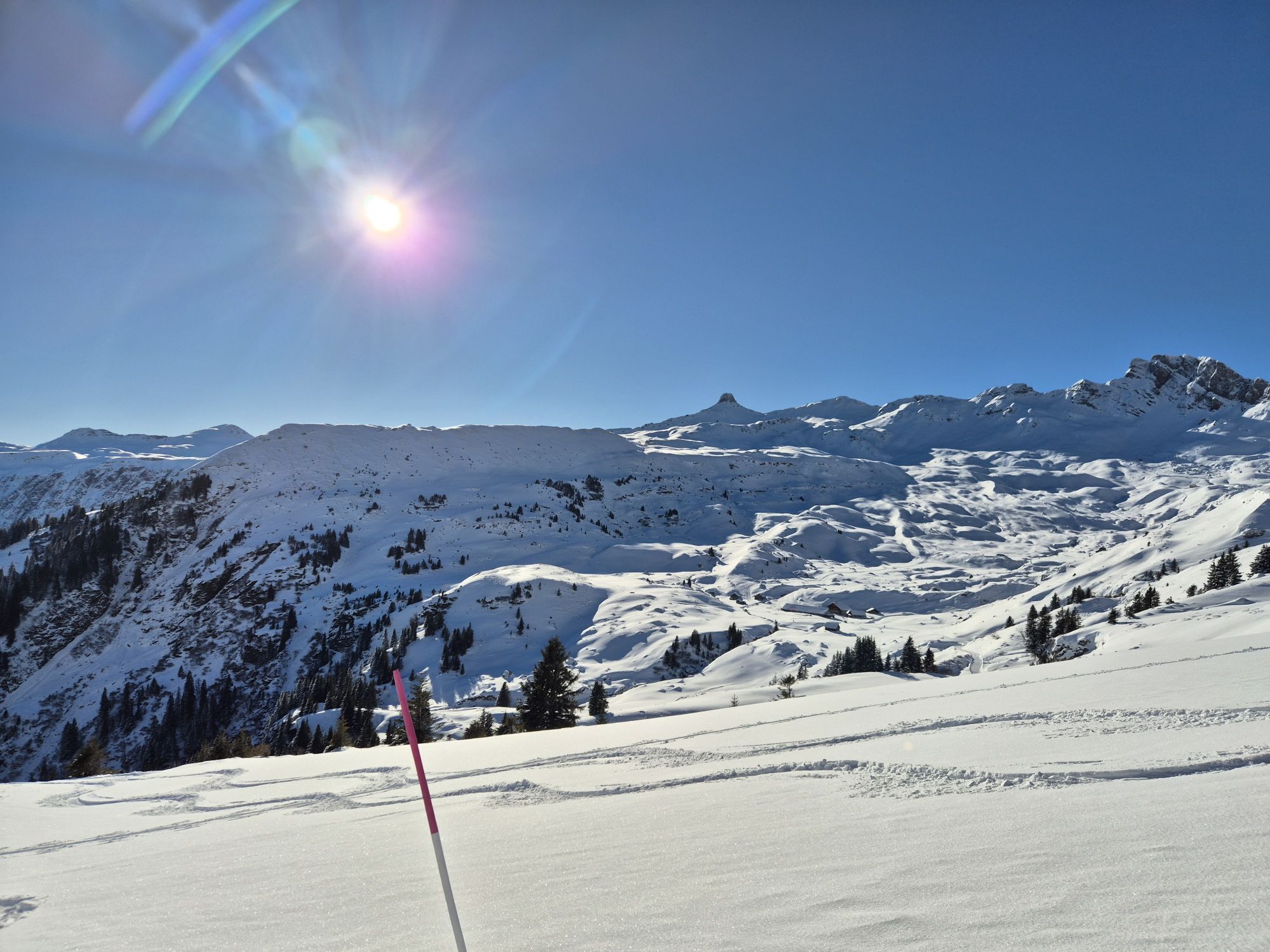
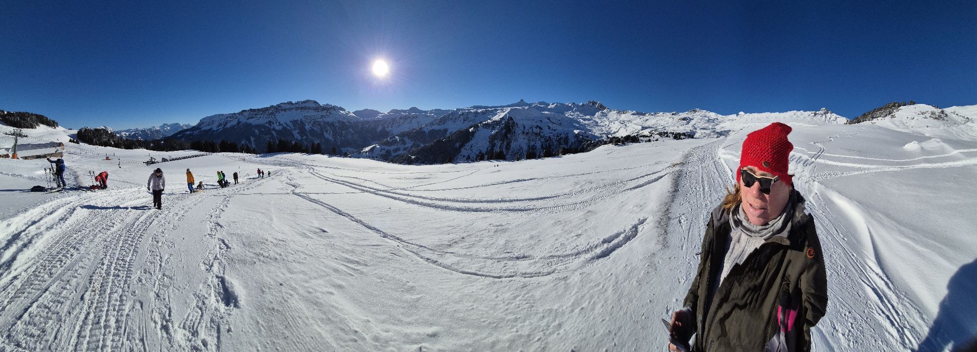
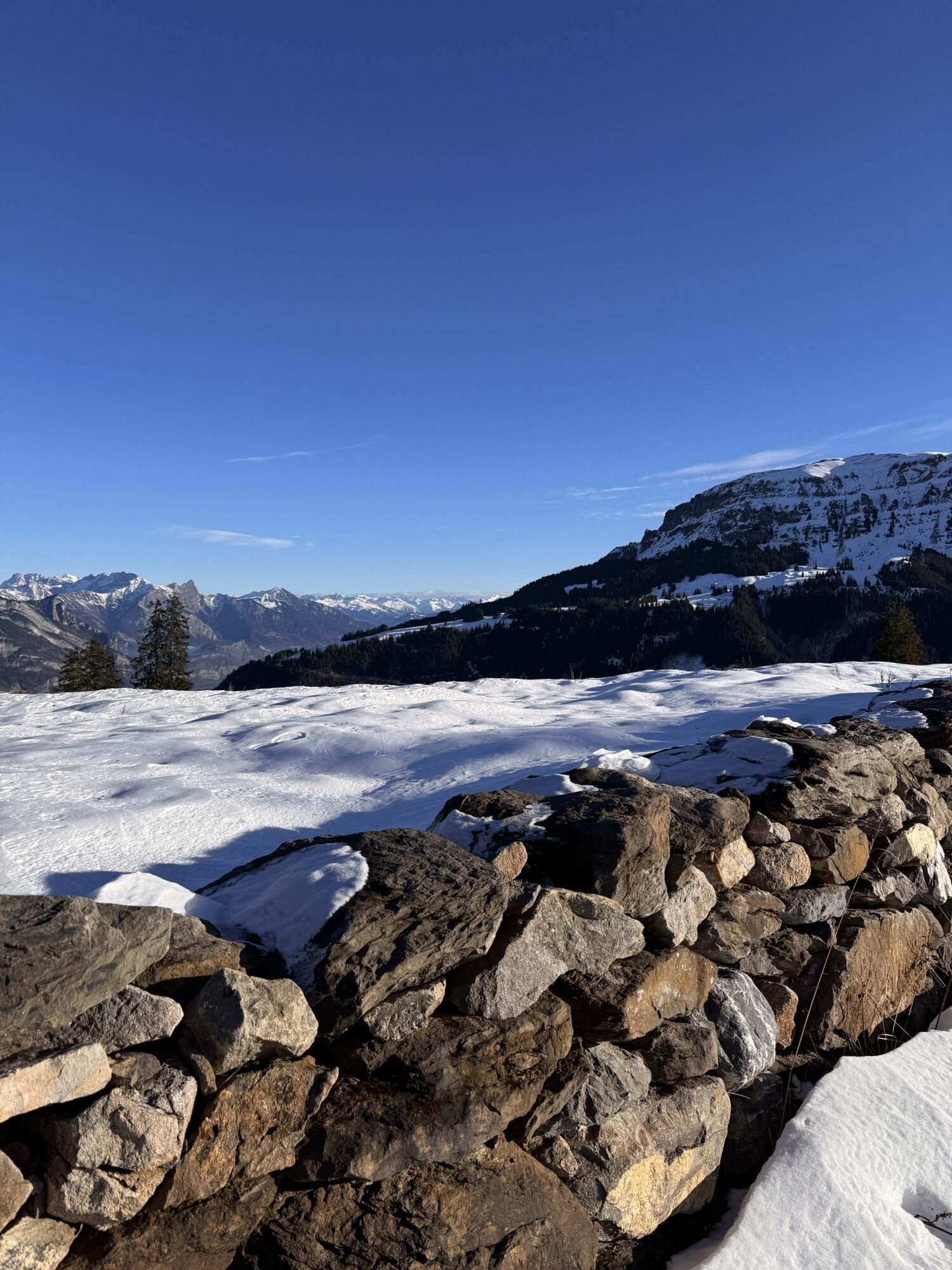
Fotografije naših uporabnikov
-

 © ZellwegerrogerUstvarjeno na 07.09.2025
 -

 © mosi mönäUstvarjeno na 07.09.2025
 -
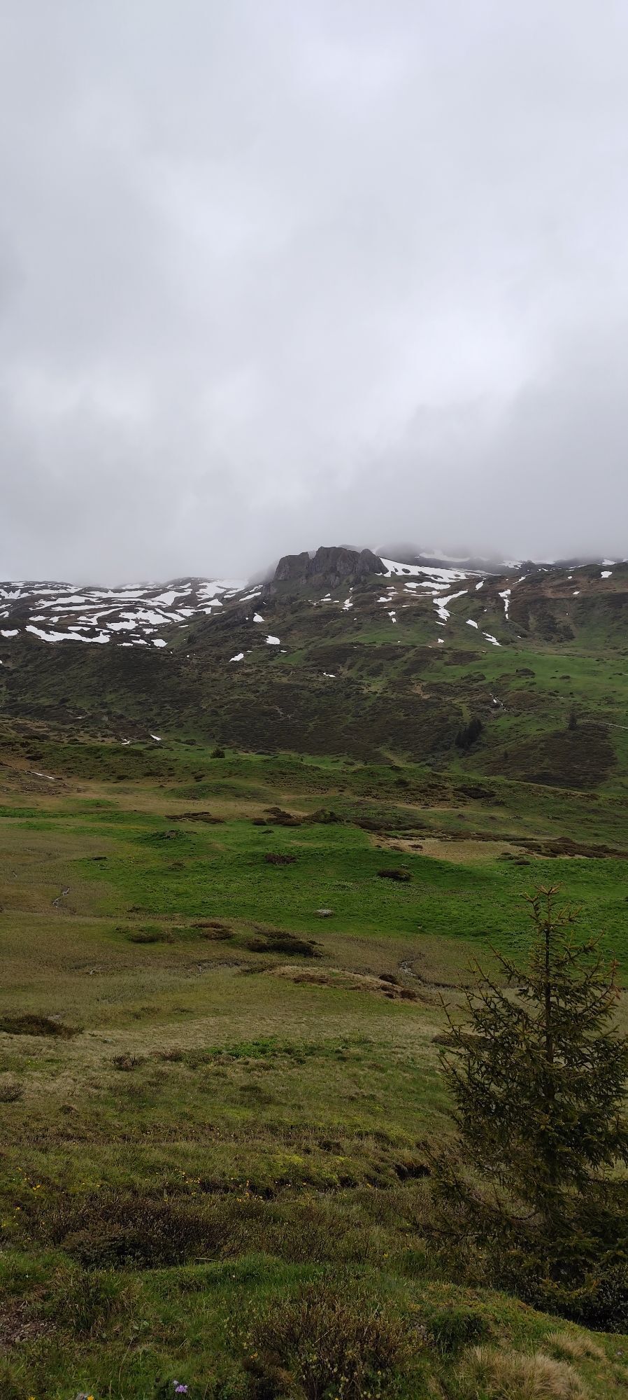
 © Joe TäschlerUstvarjeno na 27.05.2025
 -
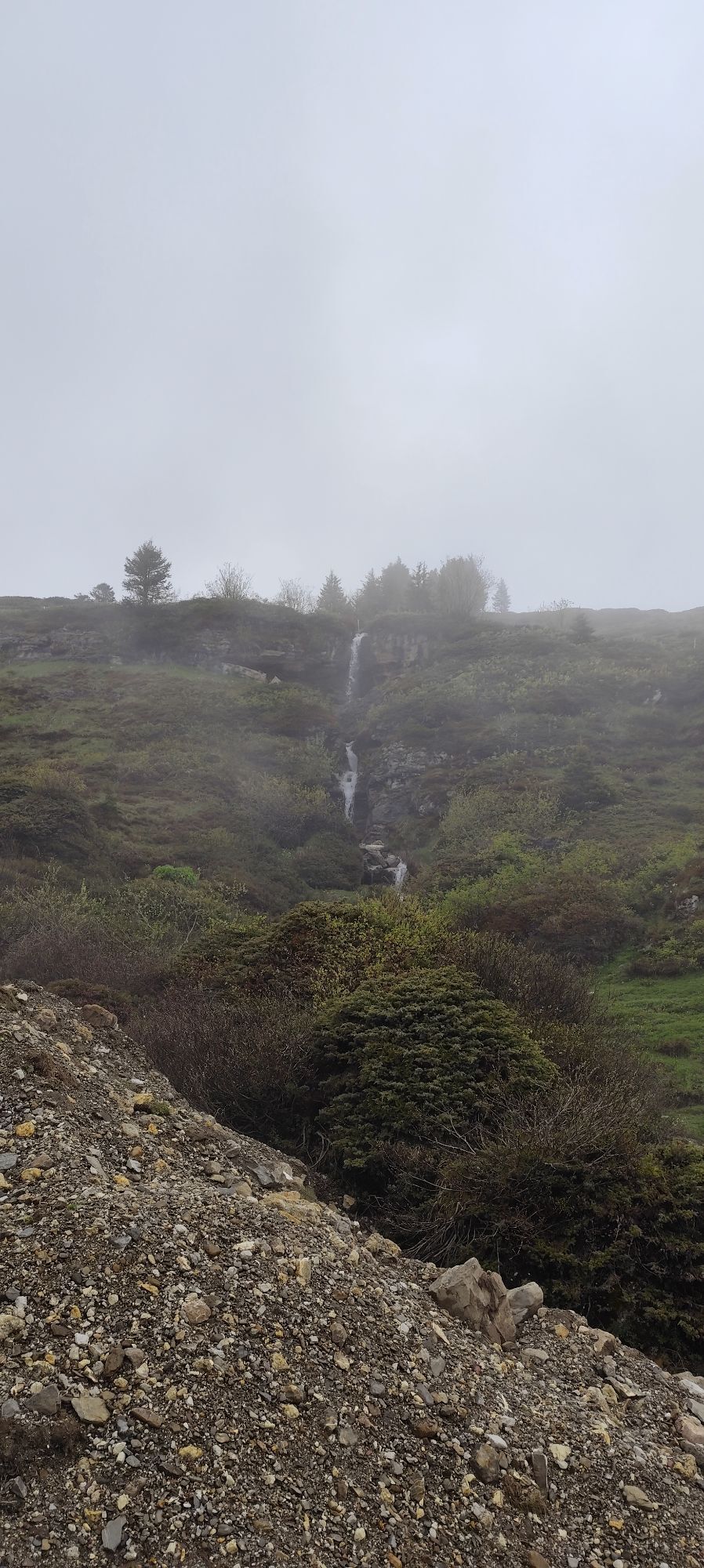
 © Joe TäschlerUstvarjeno na 27.05.2025
 -
 © Joe TäschlerUstvarjeno na 27.05.2025
 -
 © Joe TäschlerUstvarjeno na 27.05.2025
 -
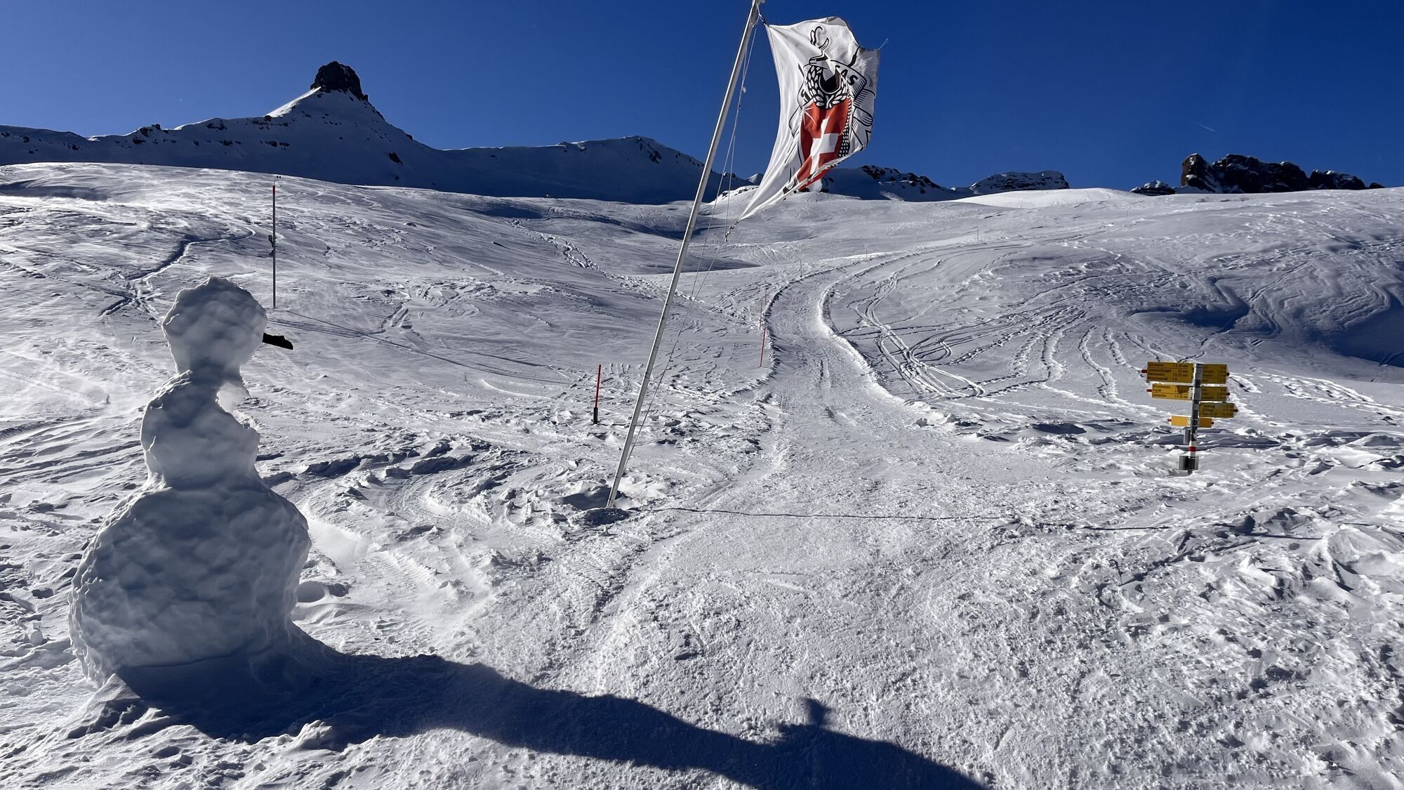
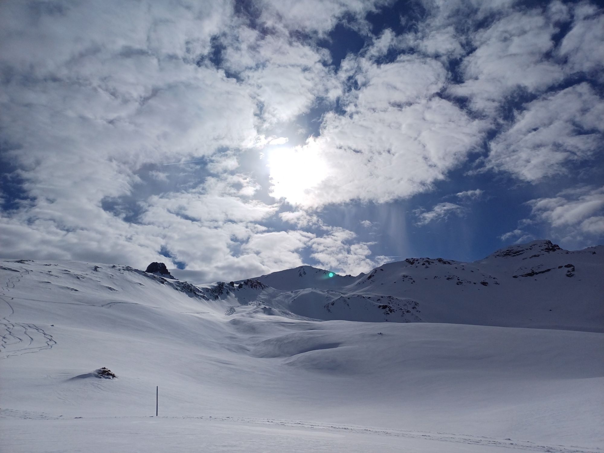
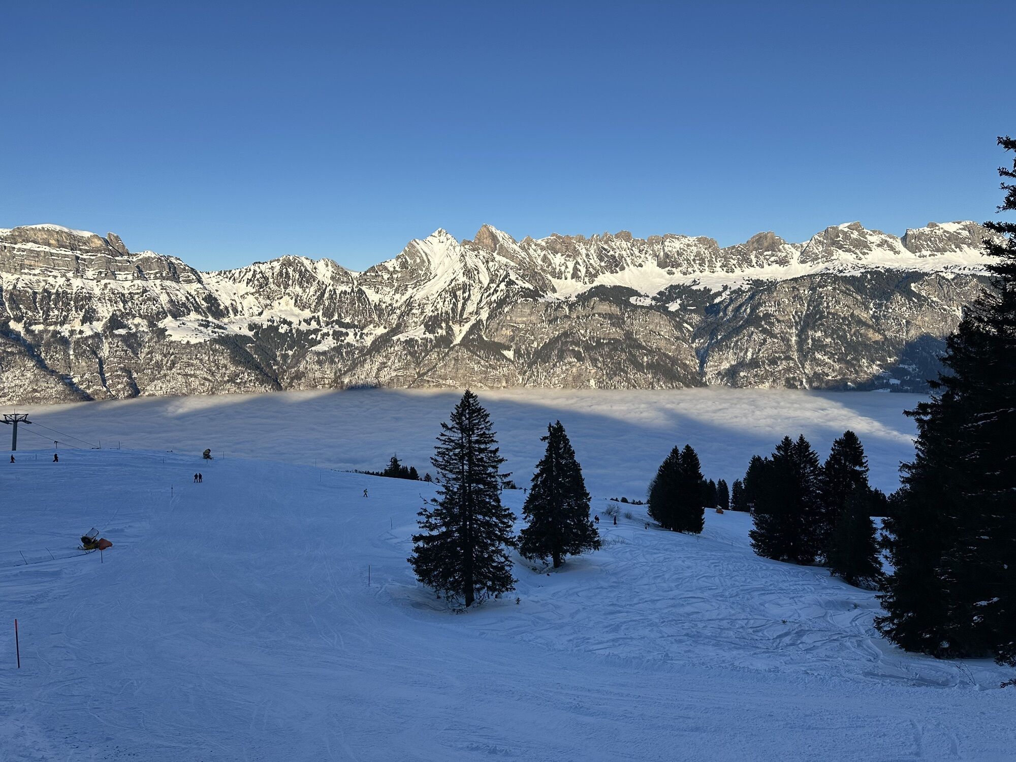
 © Erich Graf 2Ustvarjeno na 18.01.2025
 -
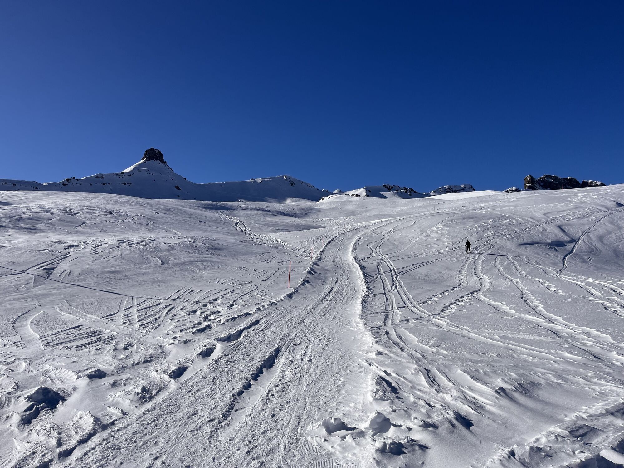
 © Erich Graf 2Ustvarjeno na 18.01.2025
 -
 © Erich Graf 2Ustvarjeno na 18.01.2025
 -
 © Erich Graf 2Ustvarjeno na 18.01.2025
 -

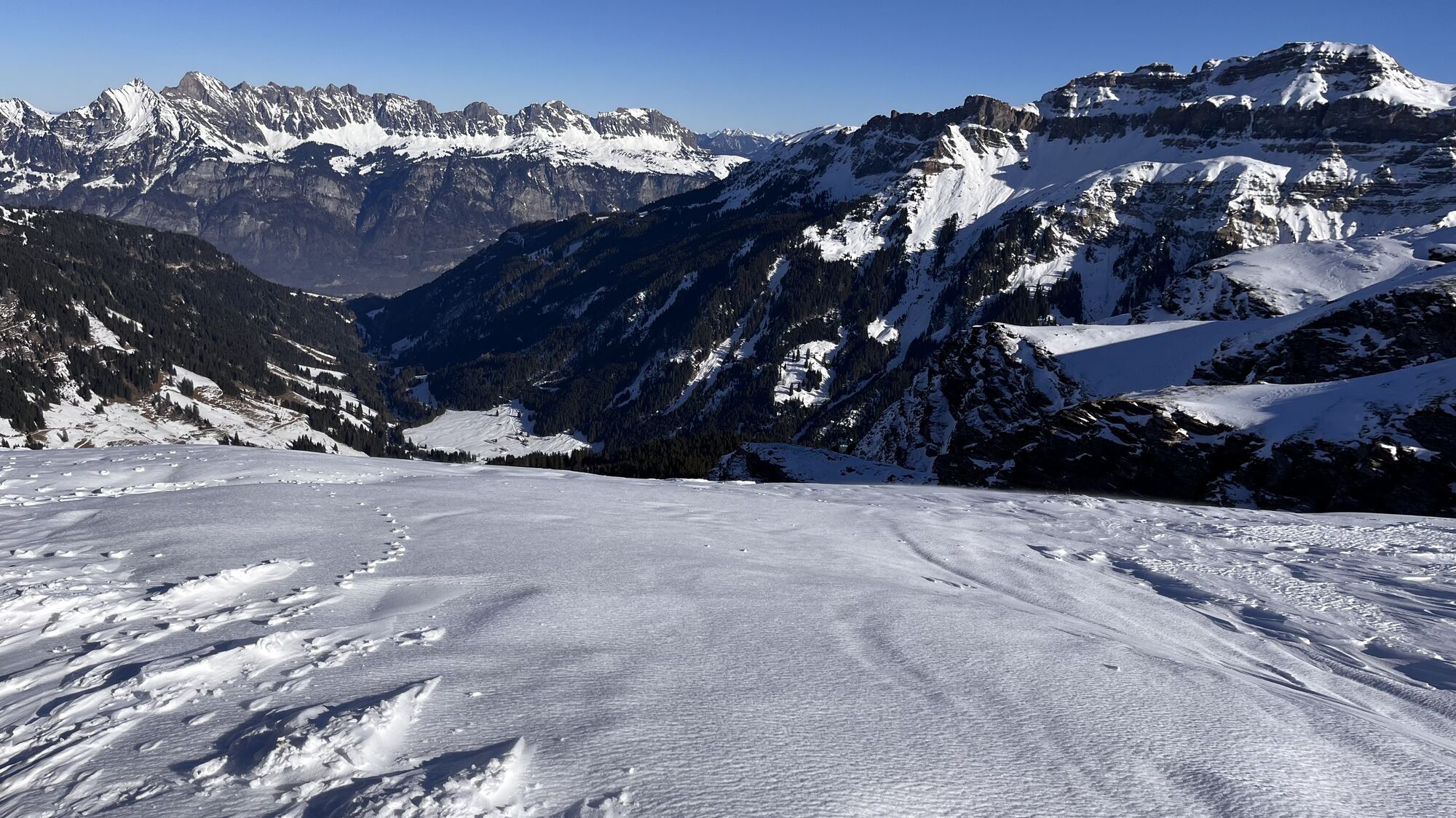
 © Daniel HerzUstvarjeno na 28.03.2026
 -
 © Daniel HerzUstvarjeno na 28.03.2026
 -
 © Daniel HerzUstvarjeno na 28.03.2026
 -
 © Daniel HerzUstvarjeno na 28.03.2026
 -
 © Daniel HerzUstvarjeno na 28.03.2026
 -
 © Daniel HerzUstvarjeno na 28.03.2026
 -
 © Daniel HerzUstvarjeno na 28.03.2026
 -
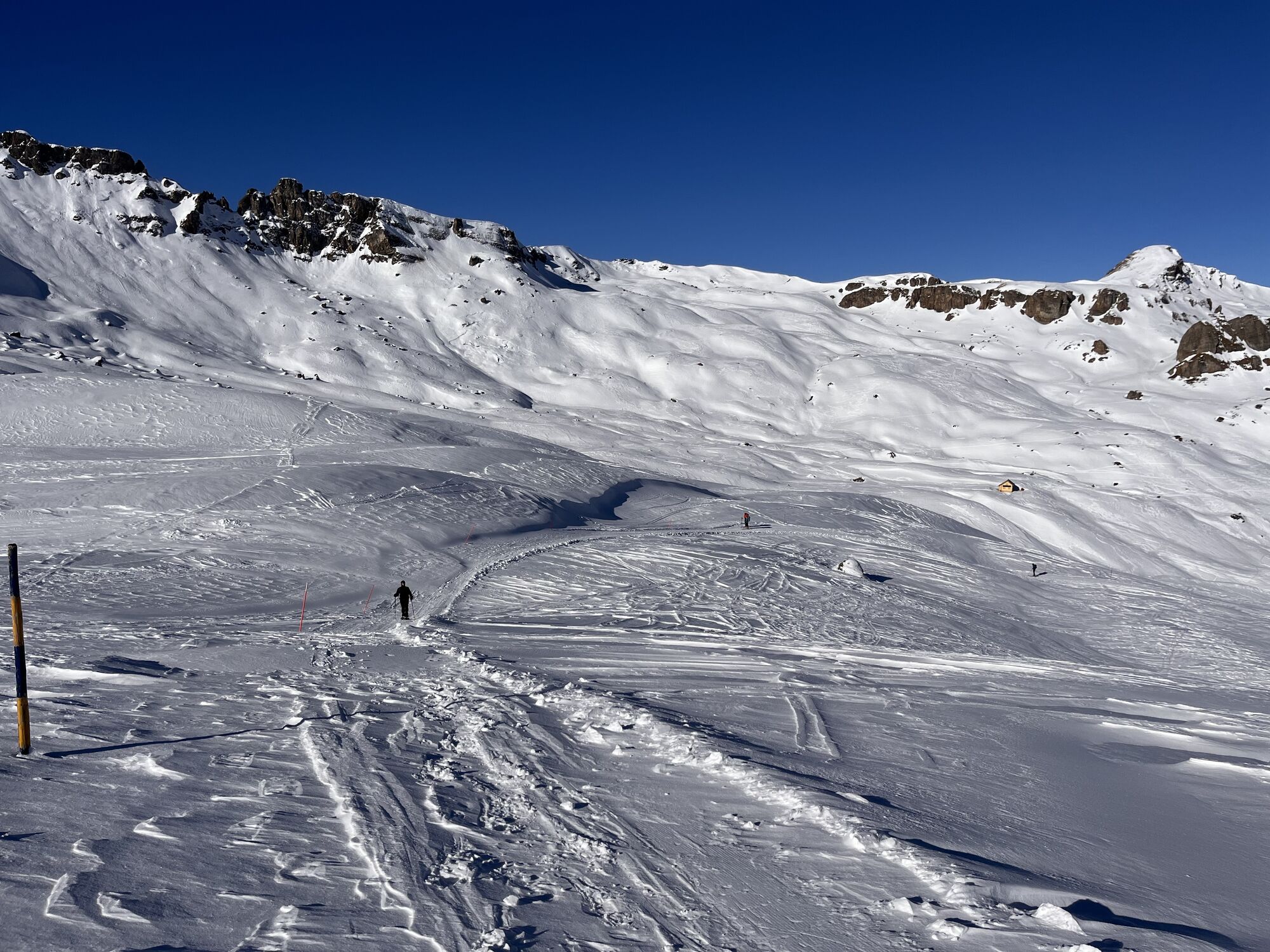
 © cgassUstvarjeno na 04.01.2026
 -
 © cgassUstvarjeno na 04.01.2026
 -
 © cgassUstvarjeno na 04.01.2026
 -
 © cgassUstvarjeno na 04.01.2026
 -
 © cgassUstvarjeno na 04.01.2026
 -
 © Dennis StengelUstvarjeno na 25.12.2025
 -
 © Dennis StengelUstvarjeno na 25.12.2025
 -
 © Dennis StengelUstvarjeno na 25.12.2025
 -
 © PezzottaUstvarjeno na 22.06.2025
 -
 © PezzottaUstvarjeno na 22.06.2025
 -
 © ruoss thomasUstvarjeno na 06.04.2025
 -
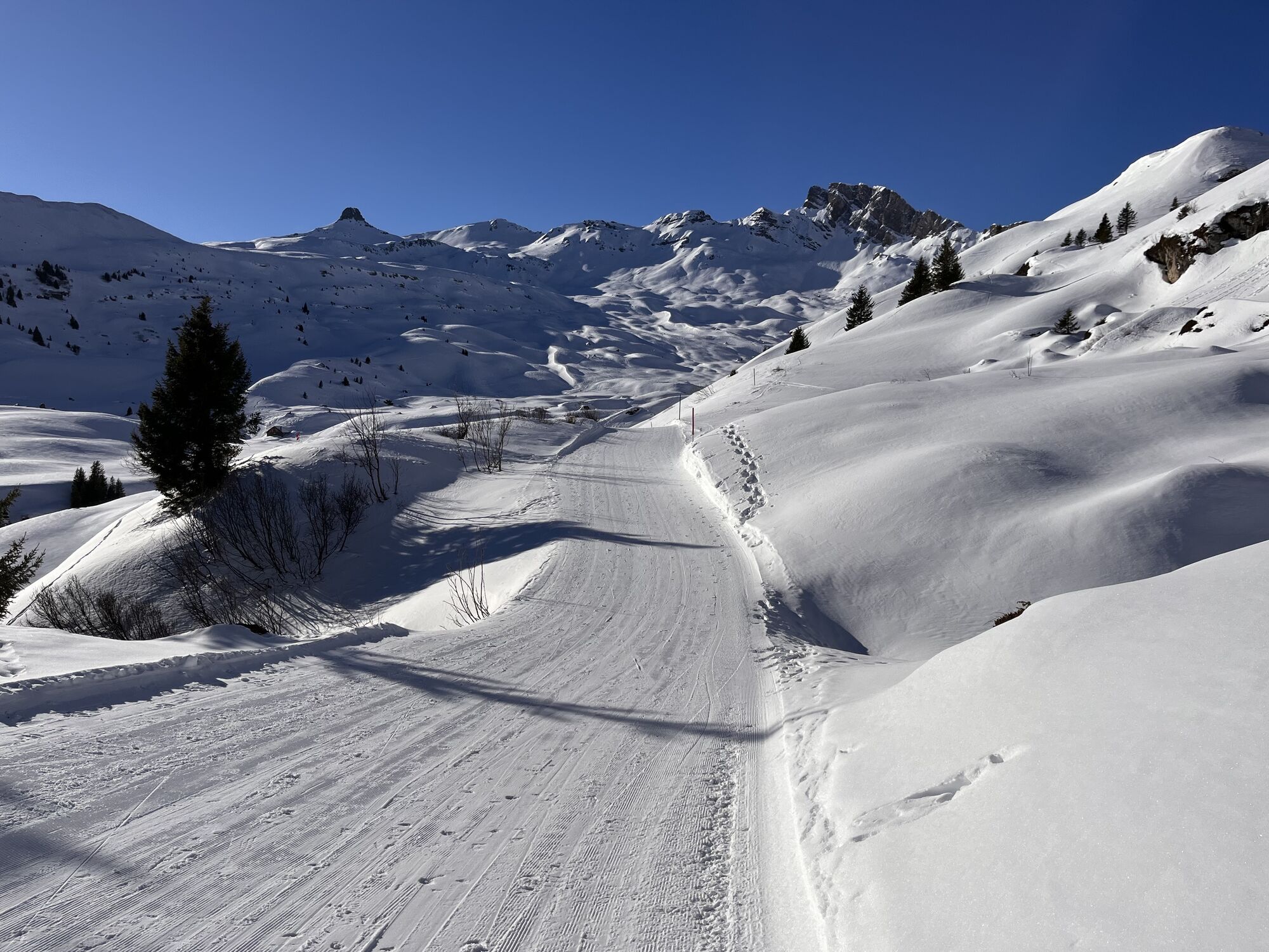
 © Marlyse LeuUstvarjeno na 16.02.2025
 -
 © Marlyse LeuUstvarjeno na 16.02.2025
 -
 © Marlyse LeuUstvarjeno na 16.02.2025
 -
 © Erich Graf 2Ustvarjeno na 18.01.2025
 -
 © Erich Graf 2Ustvarjeno na 18.01.2025
 -
 © Erich Graf 2Ustvarjeno na 18.01.2025
 -
 © Erich Graf 2Ustvarjeno na 18.01.2025
 -
 © Basil von MentlenUstvarjeno na 27.12.2024
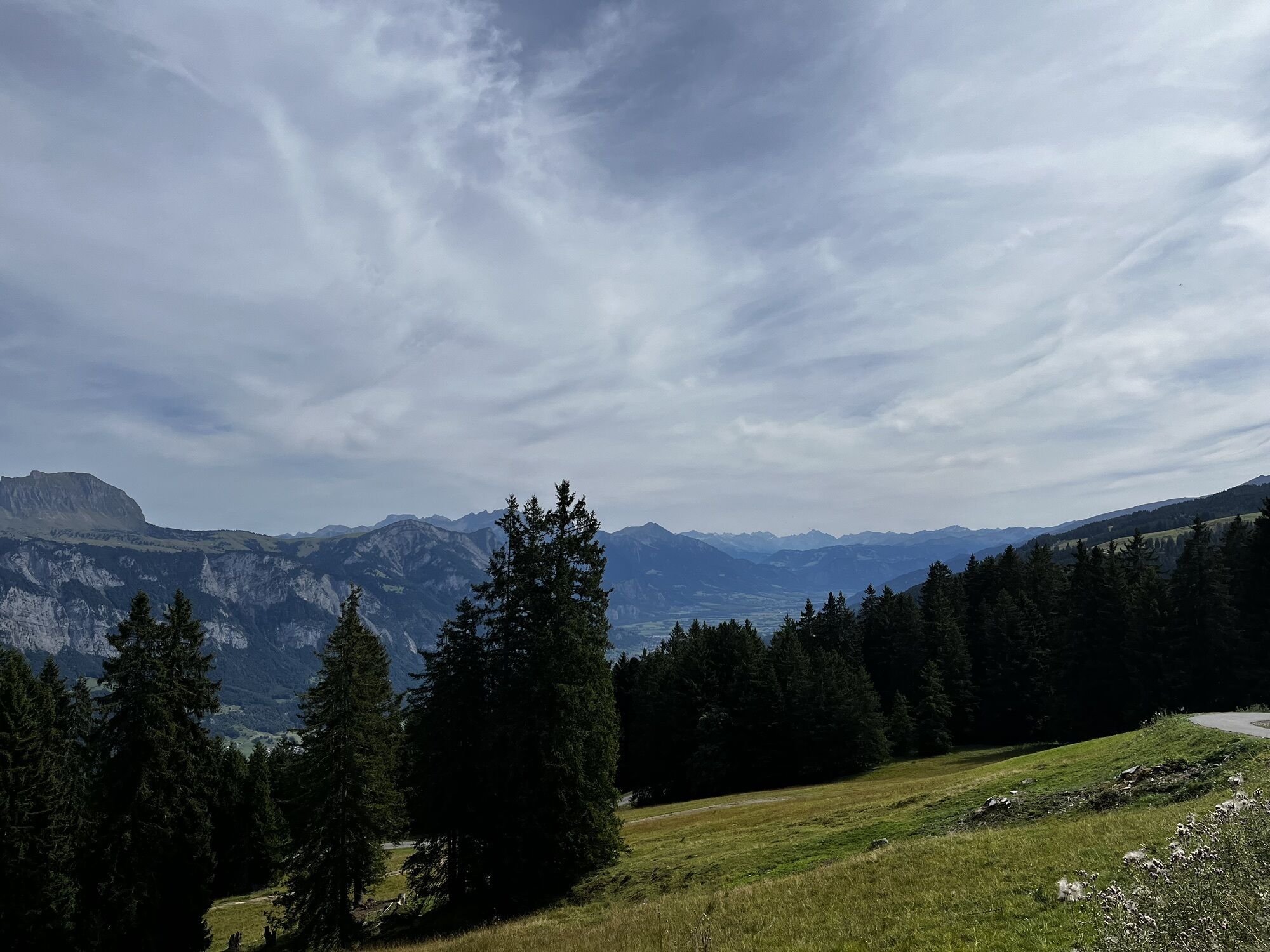


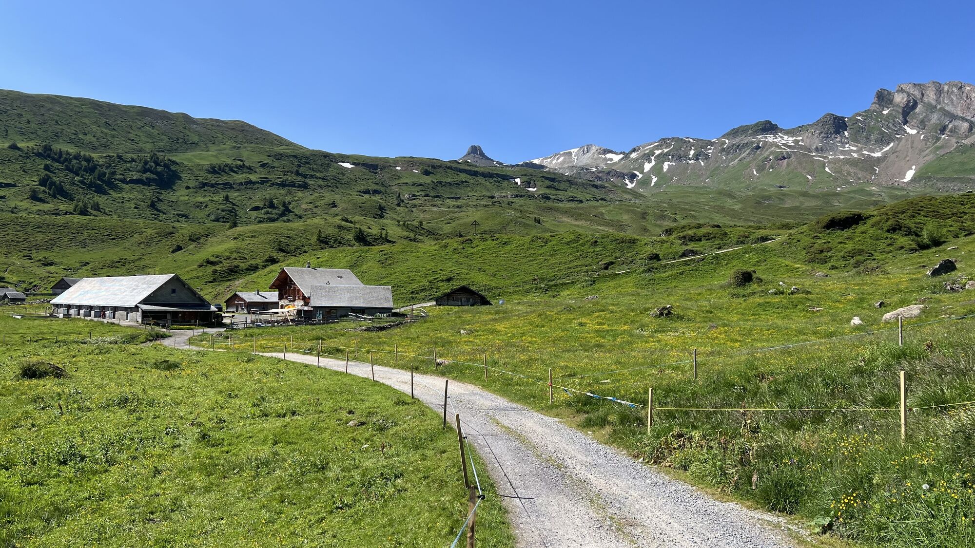


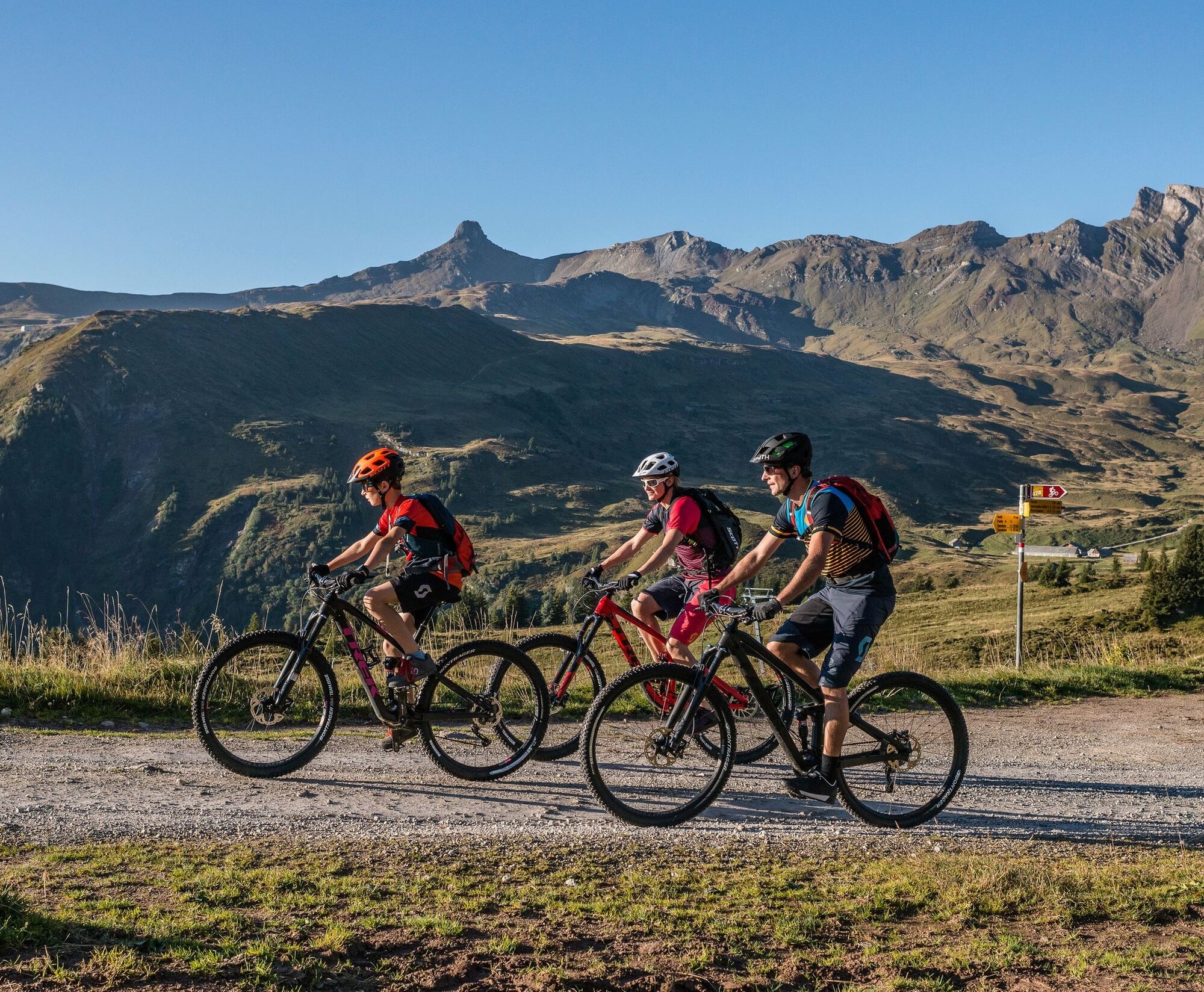
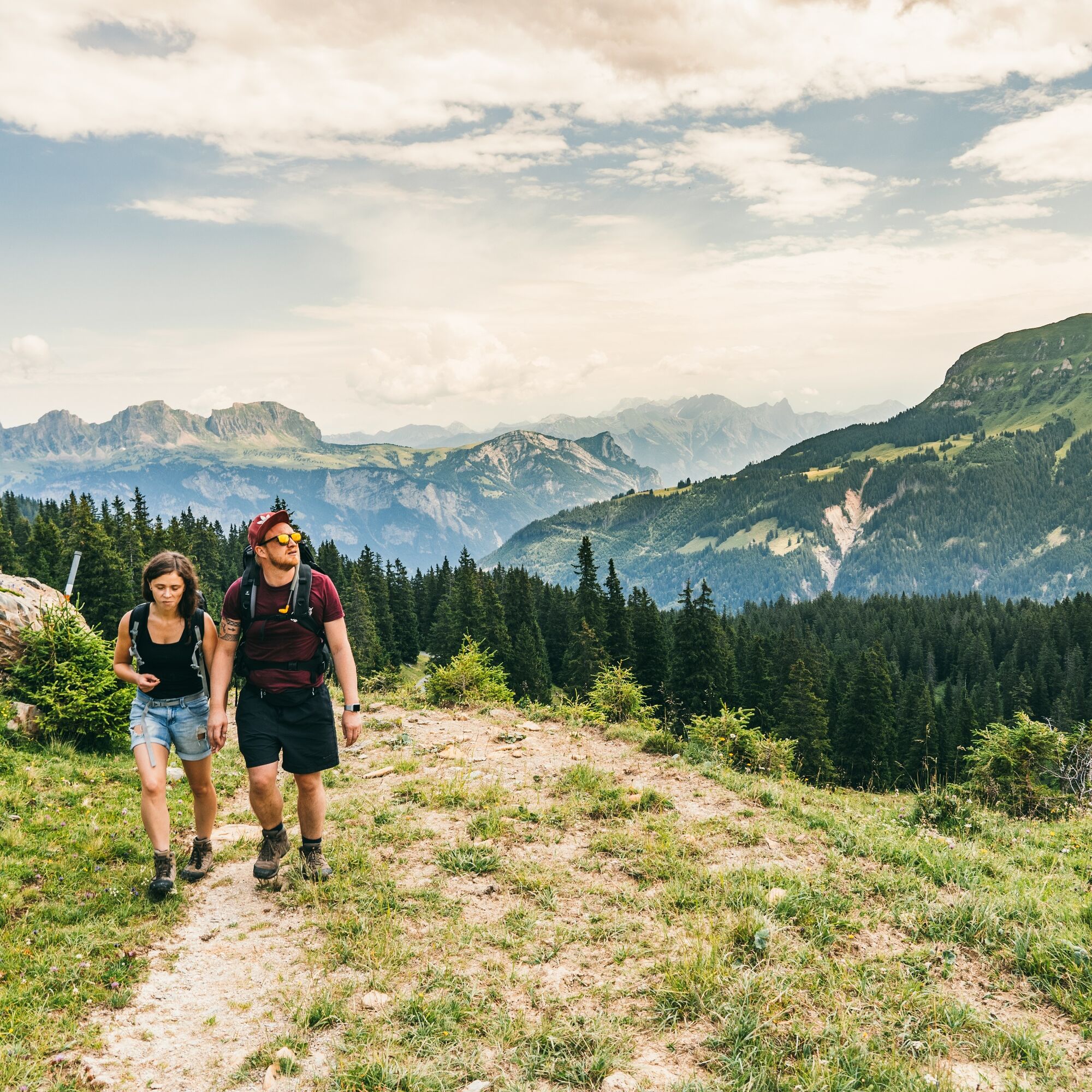
E-Bike tour to Alp Fursch (19.3 km, 1h 45min)
The e-bike tour starts at Flumserberg in Tannenbodenalp. The route runs with a gentle ascent and excellent view of the Churfirsten to Prodalp. Slowly but steadily...
E-Bike tour to Alp Fursch (19.3 km, 1h 45min)
The e-bike tour starts at Flumserberg in Tannenbodenalp. The route runs with a gentle ascent and excellent view of the Churfirsten to Prodalp. Slowly but steadily it becomes quieter. The first flat moors of the area appear at the roadside. Upon arrival at Panüöl, the tour continues on gravel in accordance with the SwitzerlandMobility Alp Fursch Bike route 478. The return route is the same as the outward route.
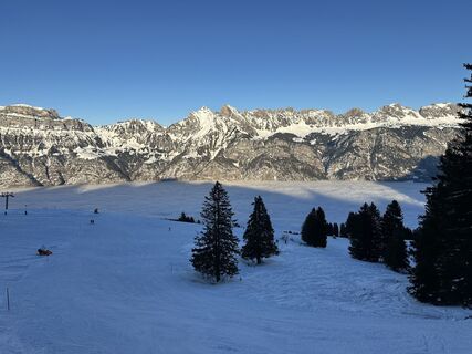
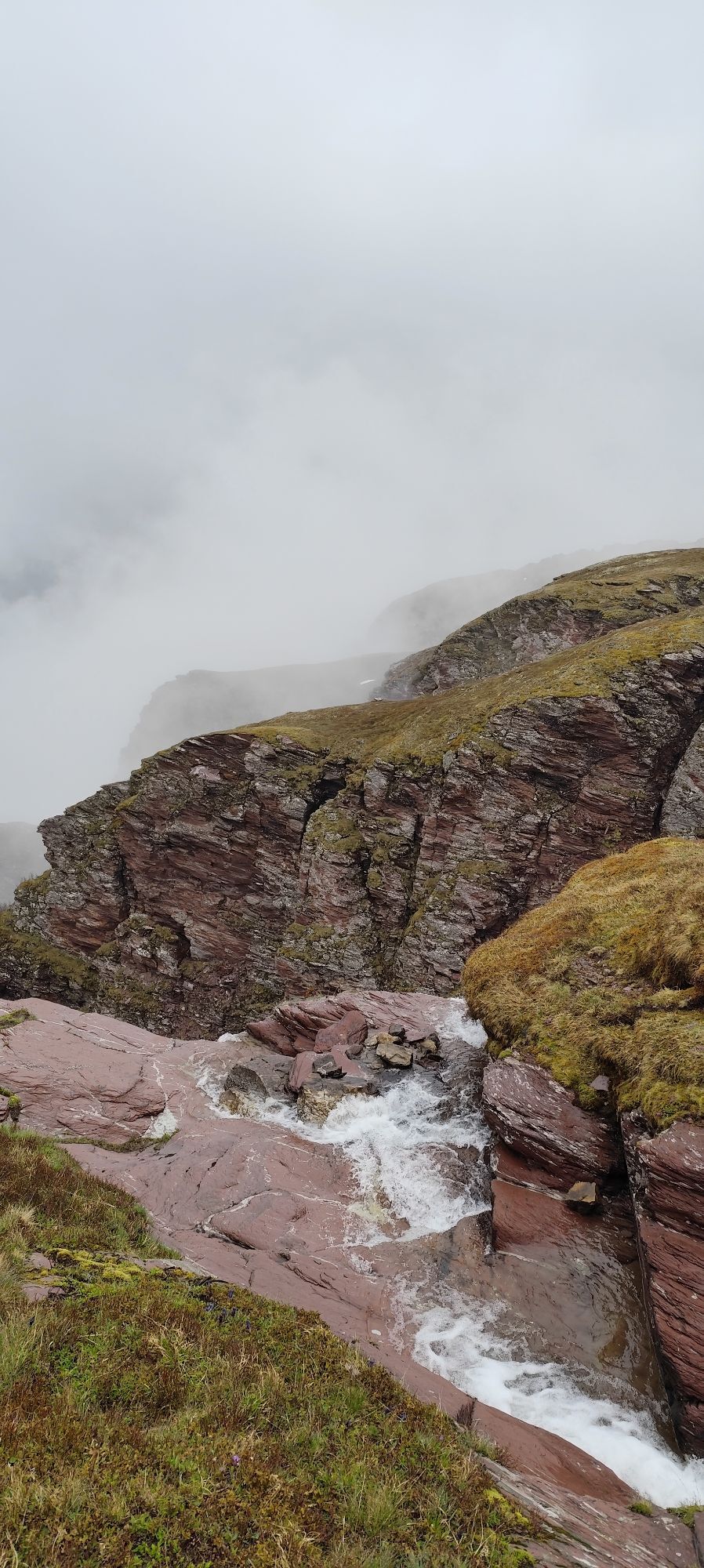
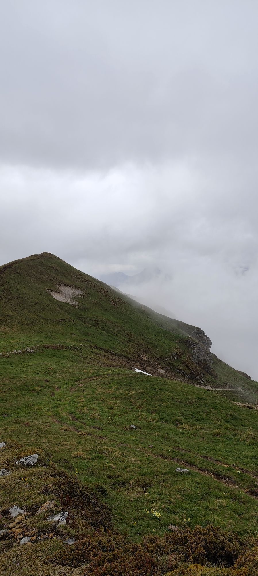
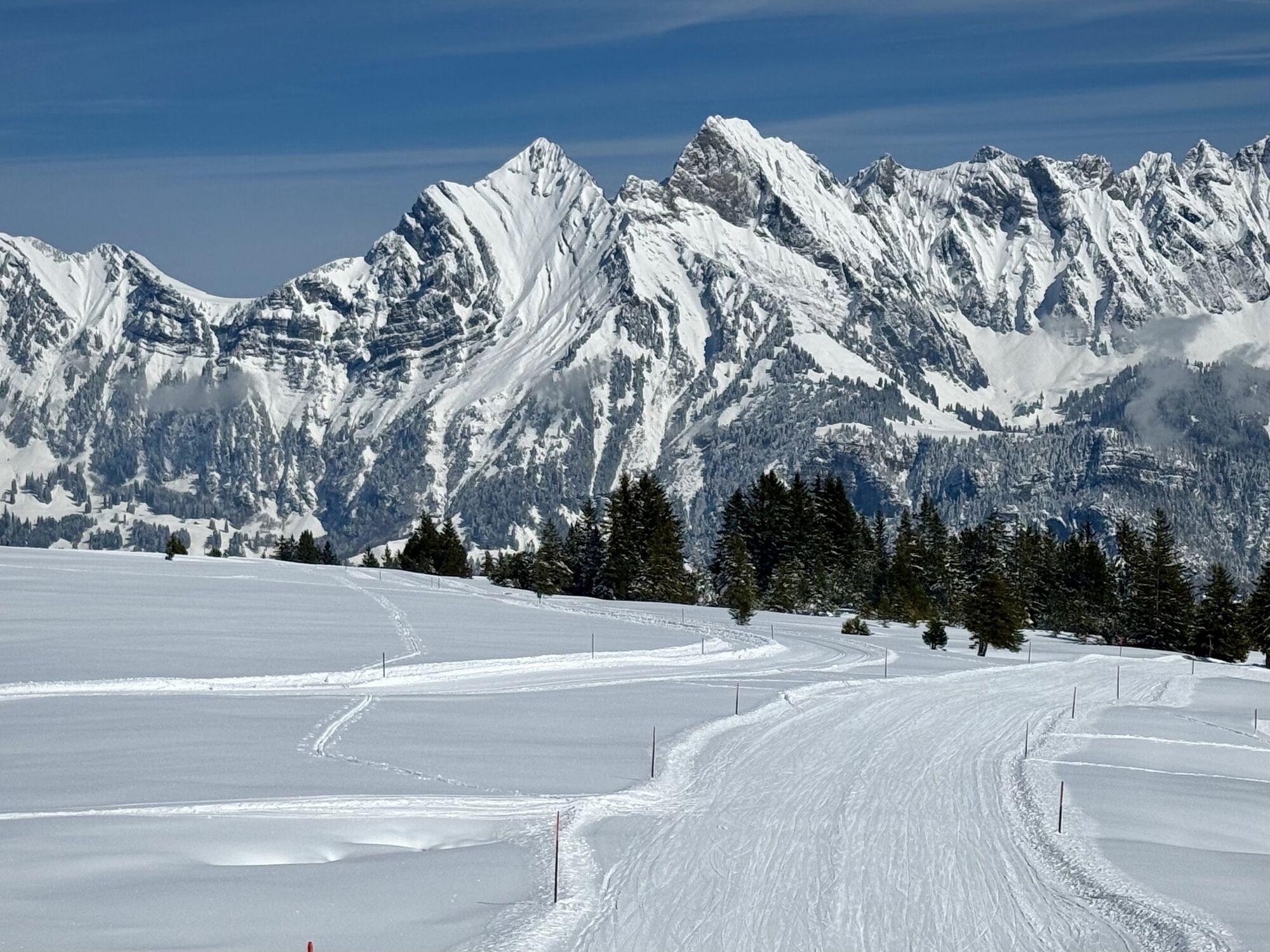
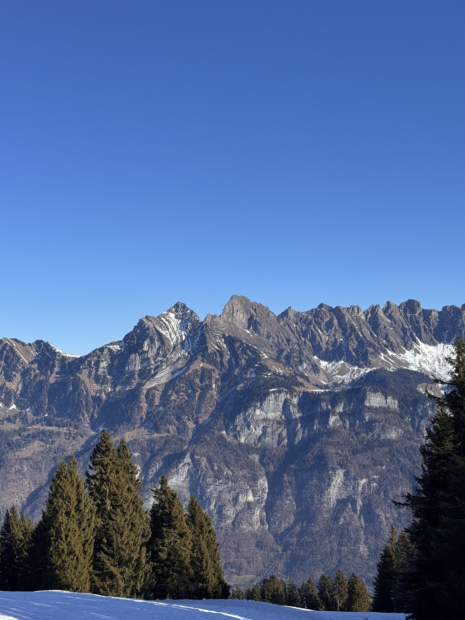
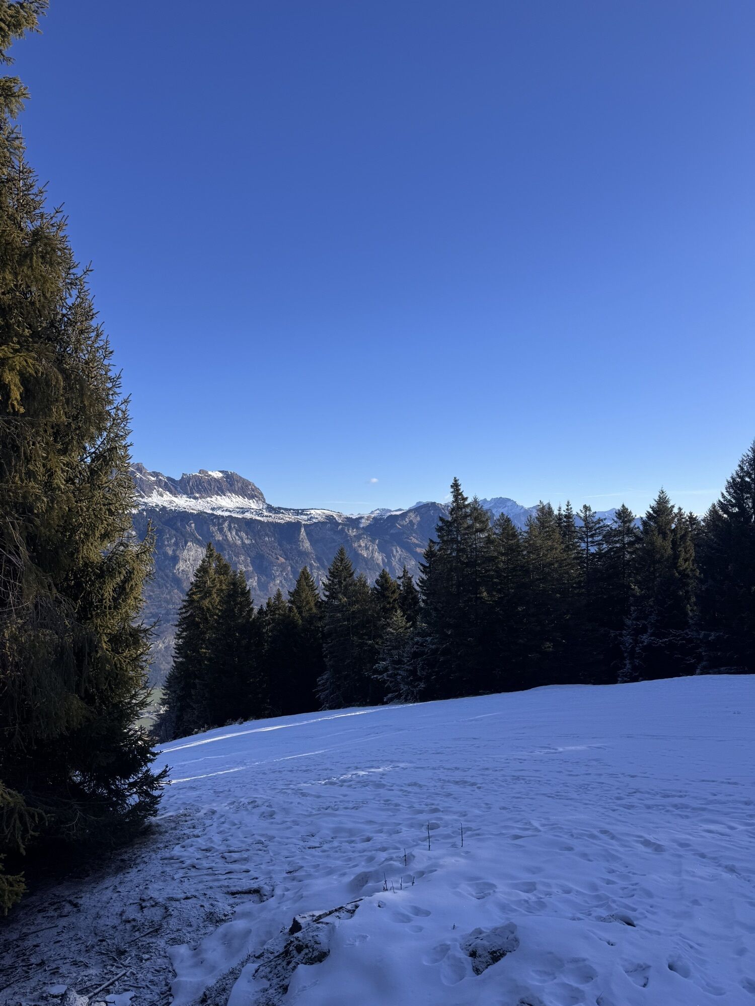
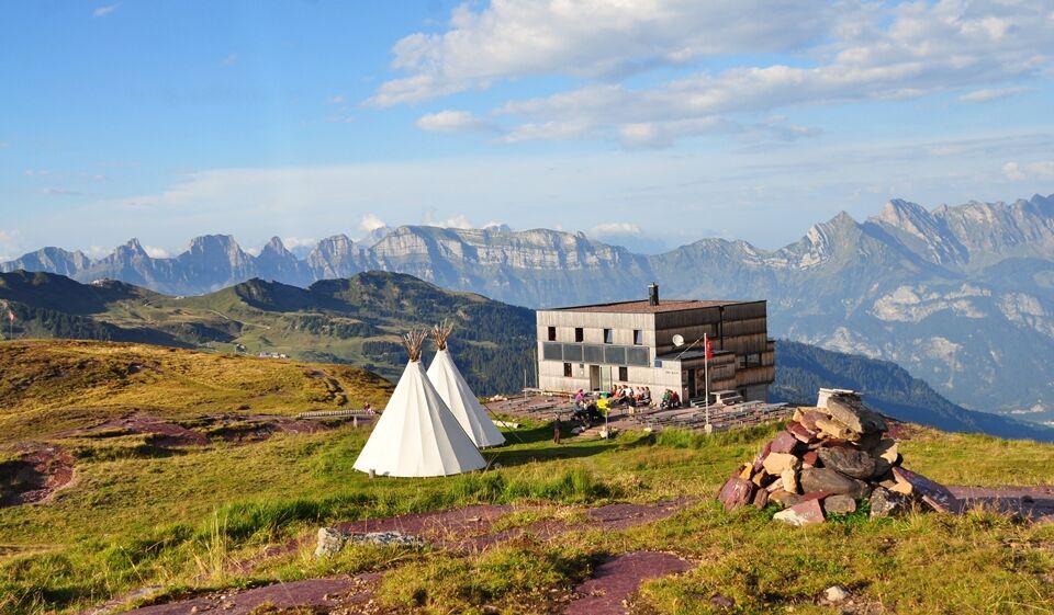
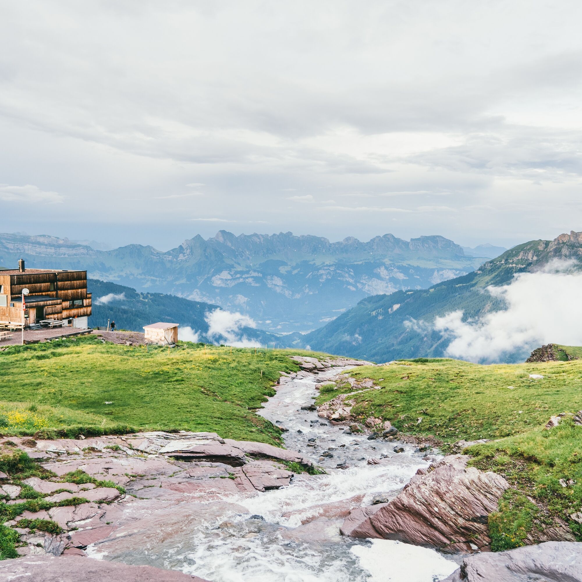
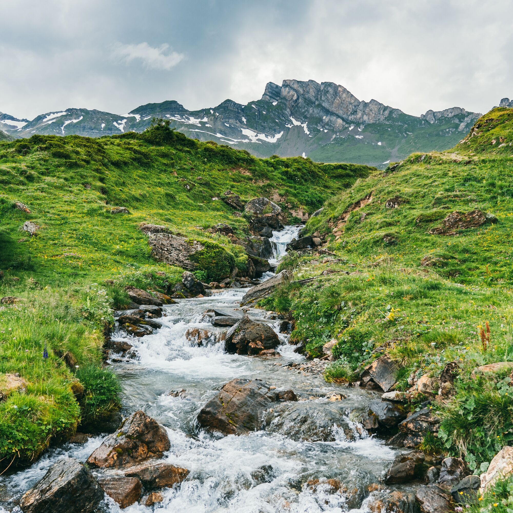
Circular hike over the Spitzmeilenhütte SAC (7.3 km, 2h 30min)
After parking the e-bikes at Alp Fursch, the hike to the SAC hut starts. Over running floors, the last altitude meters to the Spitzmeilenhütte have to be mastered. A magnificent view awaits. The return route to Alp Fursch runs via the Calanshüttli.

E-Bike: Tannenbodenalp - Prodalp - Panüöl - Alp Fursch
Hike: Alp Fursch - Spitzmeilenhütte SAC - Alp Fursch
E-Bike: Alp Fursch - Panüöl - Prodalp - Tannenbodenalp
Da
Da
Da
Normal bike equipment, hiking shoes. Functional clothing is advantageous, as after a longer ascent, there follows an equally long descent.
Bring a lock to secure your e-bike during the hike.
Ride with foresight and behave respectfully towards other recreation seekers and traffic participants.
Follow the signs from the Flums motorway exit to Flumserberg Tannenheim or Flumserberg Tannenbodenalp.
You can reach Tannenheim, respectively Tannenbodenalp, from Zurich in about one and a half hours by public transport.
Parking at Tannenheim or Tannenbodenalp (paid)
The parking lots are paid from 07:00 to 17:00. From 17:00 to 02:00, the car can be parked free of charge.
From 02:00 to 07:00, there is a night parking ban. There are sufficient night parking spaces in the Tannenboden parking garage or in Tannenheim.
The night parking lot can be used for a fee, but camping is prohibited.
2
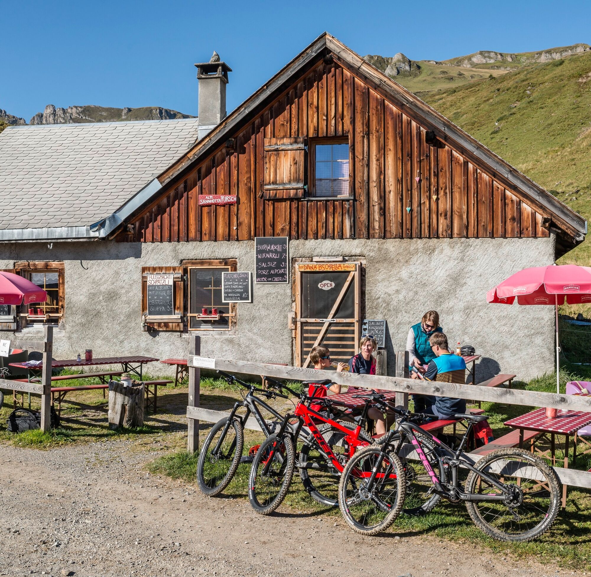
Park the e-bike at Alp Fursch and enjoy a light snack.
From Alp Fursch, continue on foot.
Heidiland Tourism
Information office Bad Ragaz
T +41 81 300 40 20
www.heidiland.com
Visit the traditional cheese dairy Tannenboden or enjoy some food at Alp Fursch.
Spletne kamere s turneje
Priljubljeni izleti v okolici
-
4.7
Walensee Riviera Weesen - Quinten
srednjaPohodništvo 10.2 km -
4.7
Riviera Lake Walen Walenstadt-Quinten
srednjaPohodništvo 10.4 km -
3.7
5-Seen-Wanderung - DER KLASSIKER
težkoPohodništvo 9.70 km -
4.7
Alvier
srednjaPohodništvo 3.33 km -
4.6
4-Summit-Route Flumserberg
srednjaPohodništvo 8.65 km -
5.0
Schrina Alp and Cultural Trail
srednjaTematska pot 11.5 km -
4.7
Mädems Trail
srednjaSnežni čevlji 7.48 km -
4.7
Quinten-Trail 453
srednjaTek 8.97 km -
3.2
Route of amazement Flumserberg
svetlobaPohodništvo 8.03 km -
3.7
Winter hike on the Rosenboden panoramic circular route
svetlobaZimsko pohodništvo 2.95 km
Pohodništvo in sledenje


Ne zamudite ponudb in navdiha za naslednje počitnice
Vaš e-poštni naslov je bil dodan na poštni seznam.