







Culinary Route Walensee (E-Bike)

Stopnja težavnosti: 1
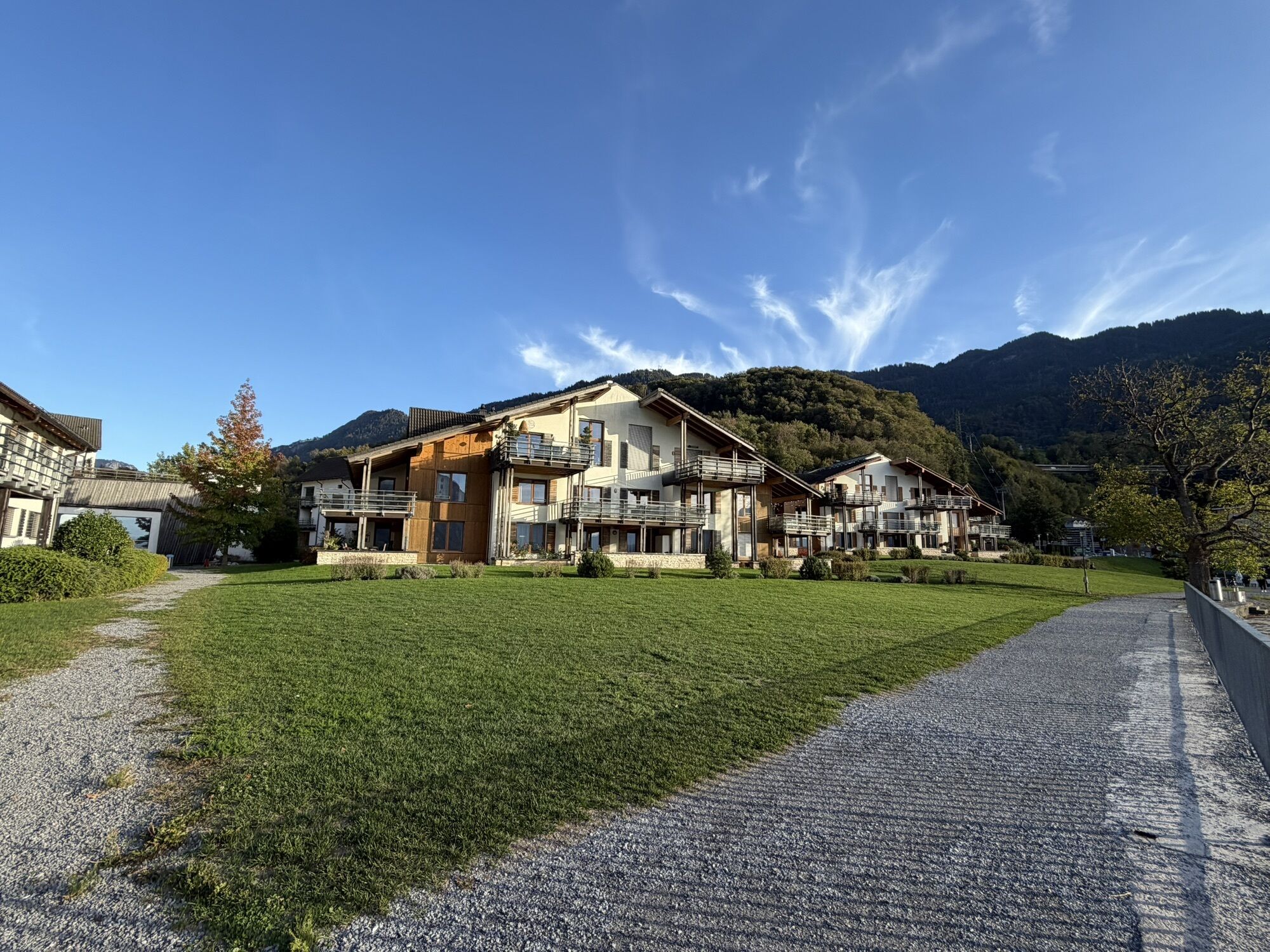
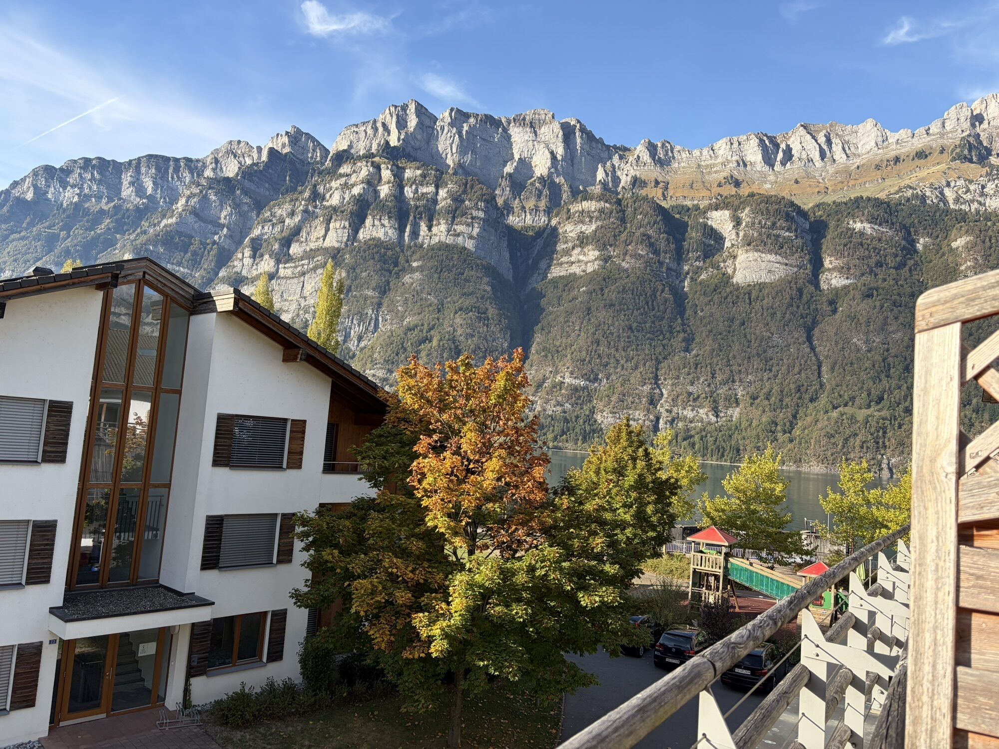
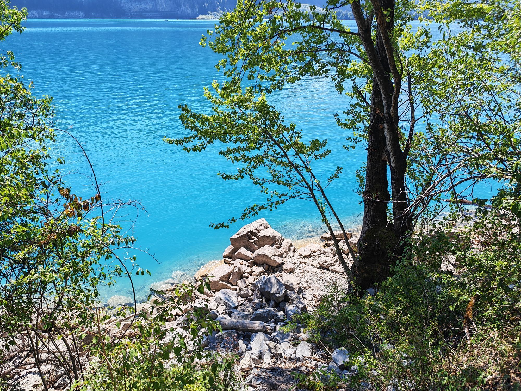
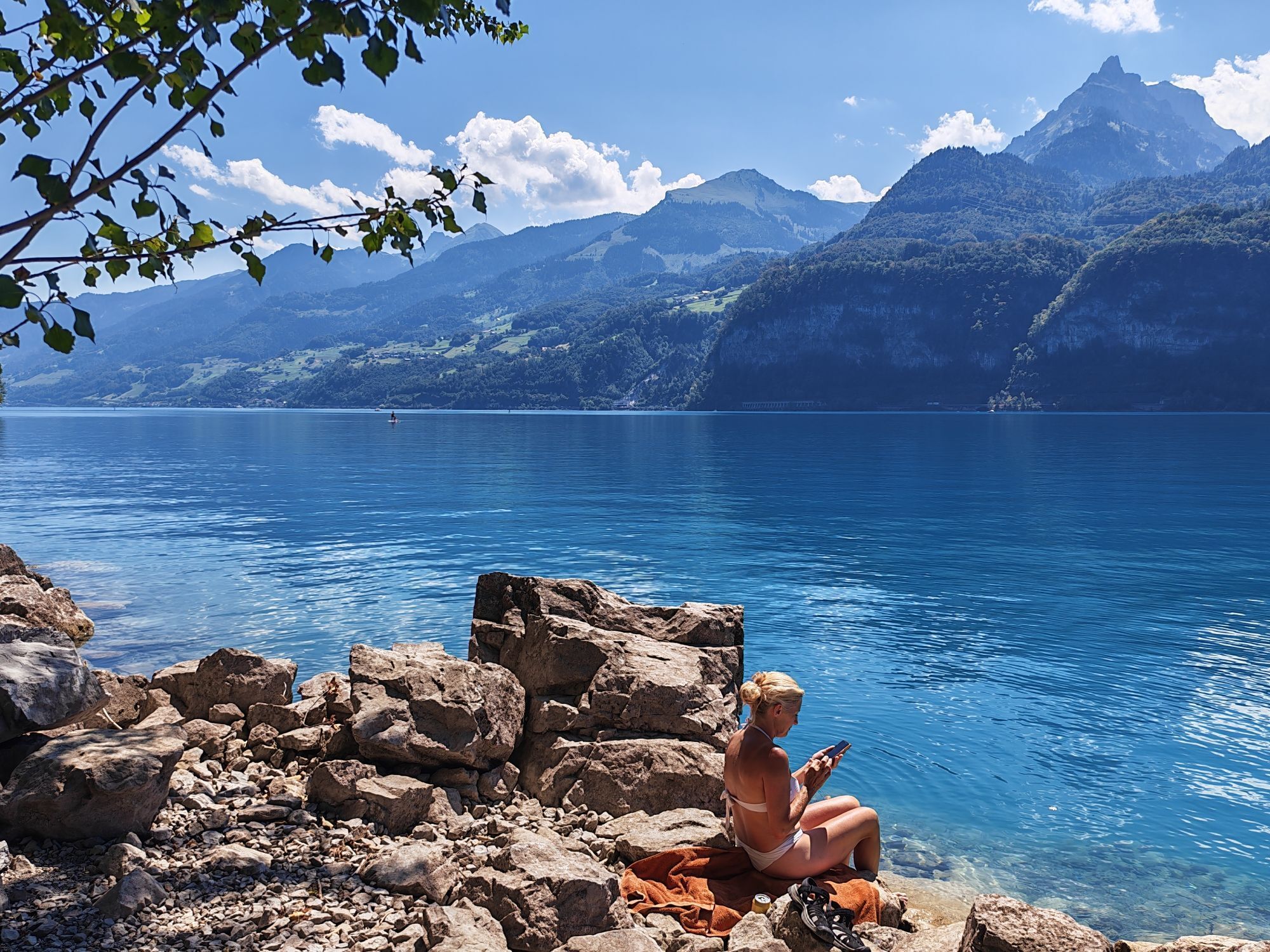
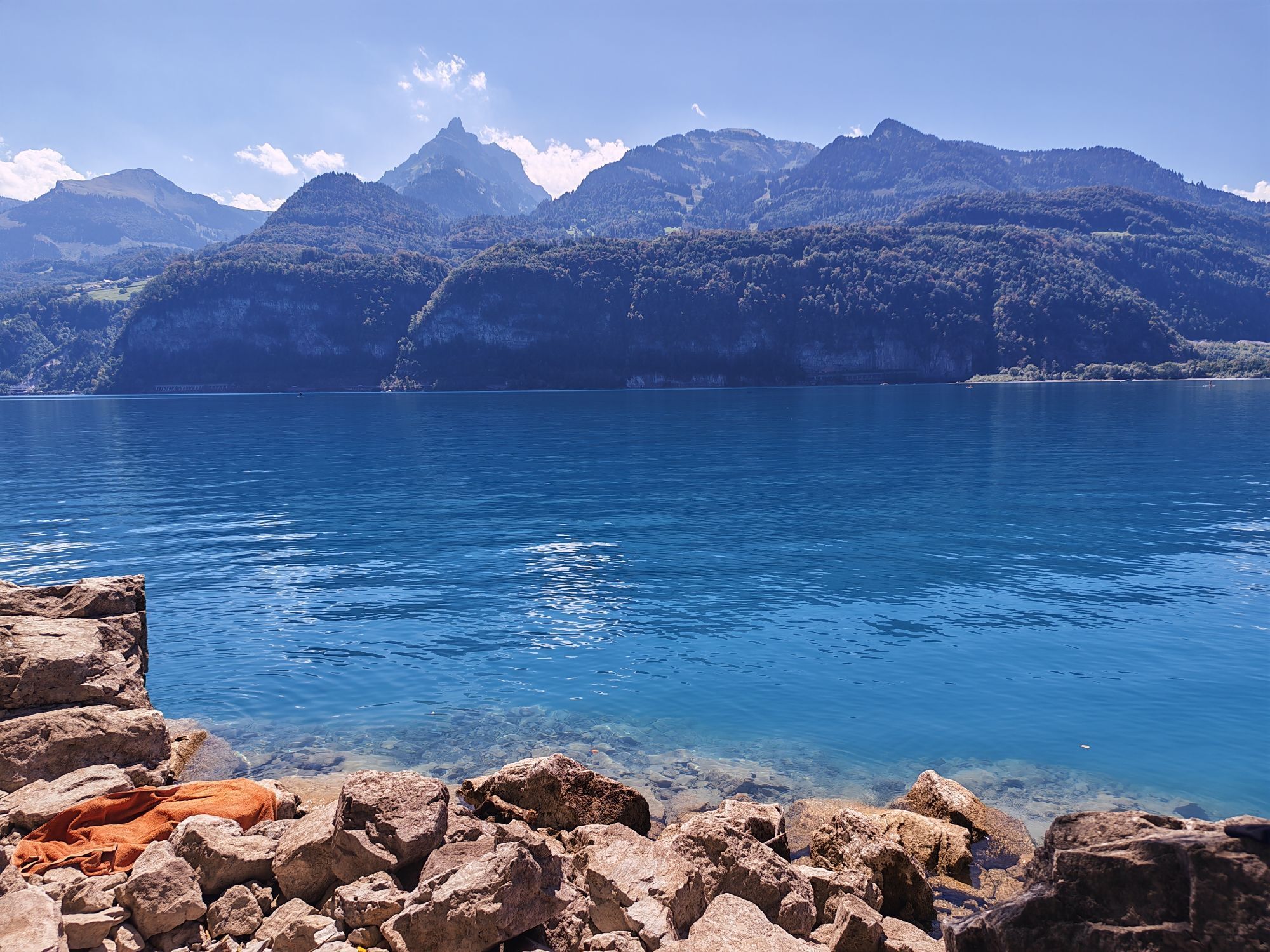
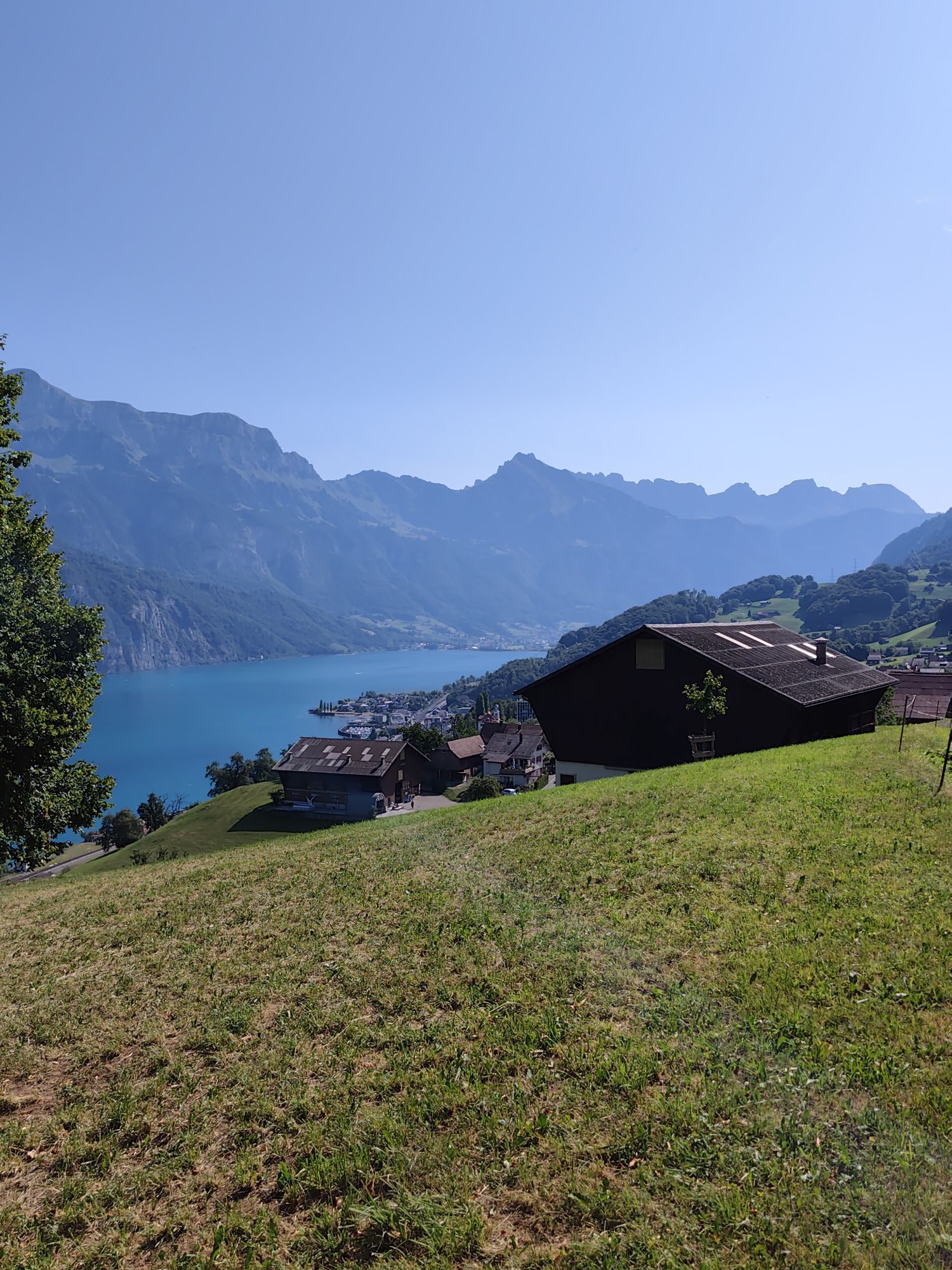
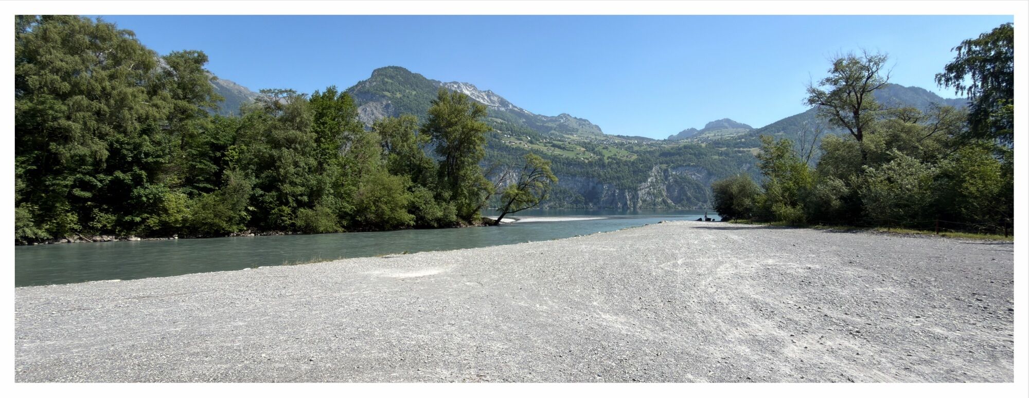
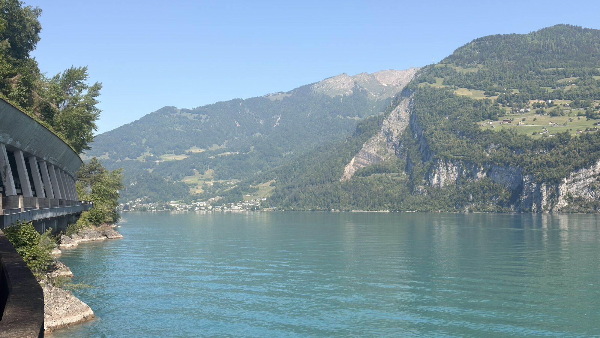
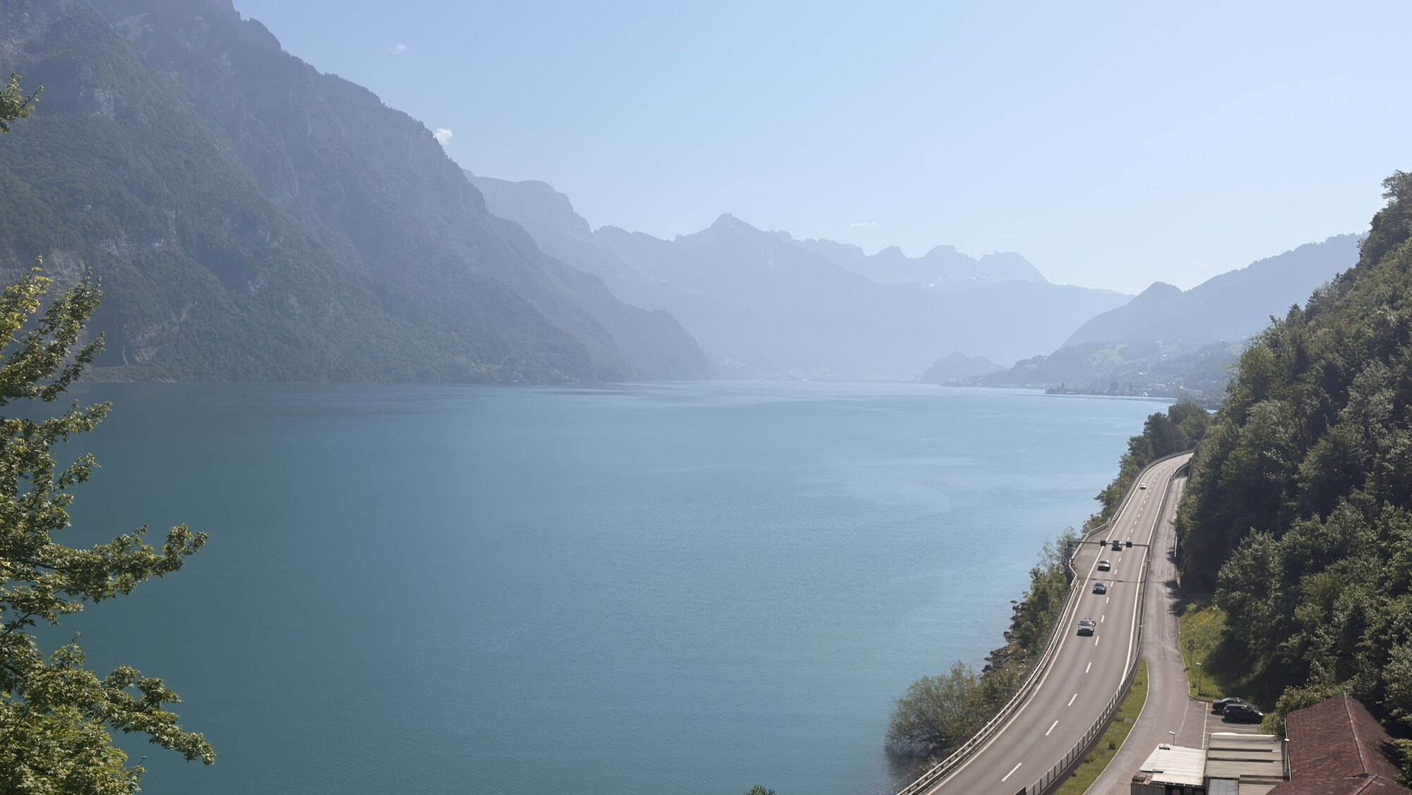
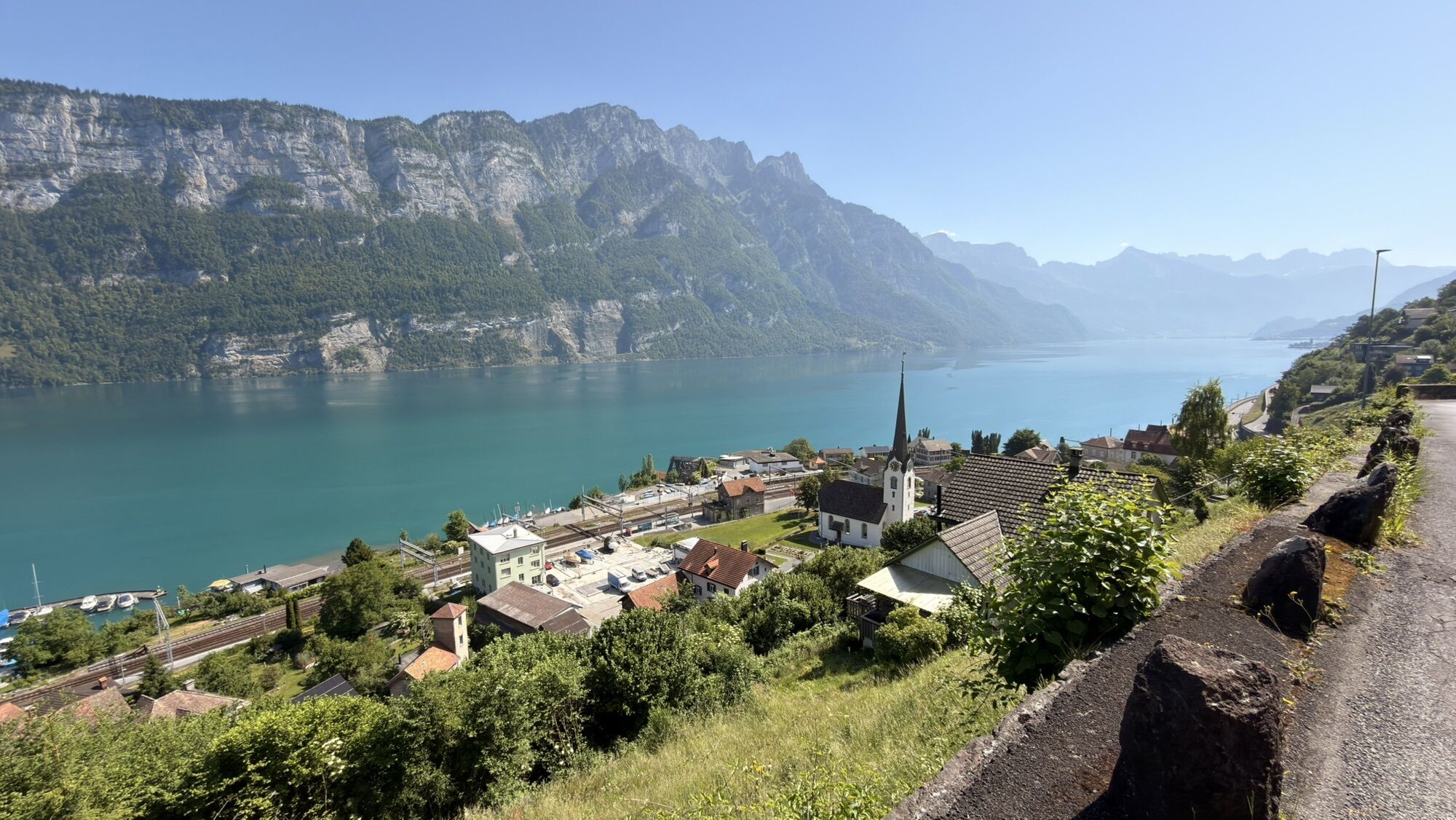
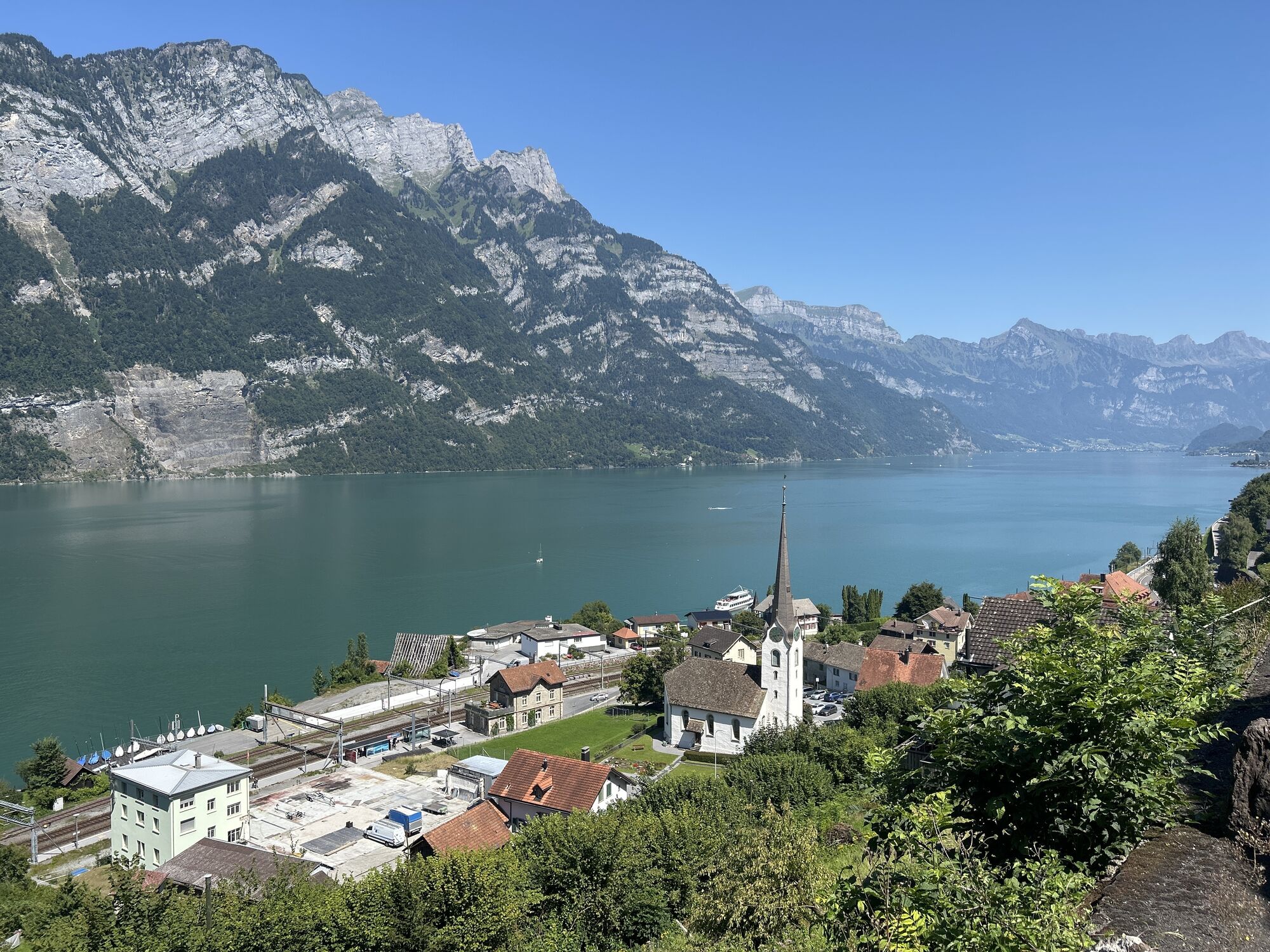
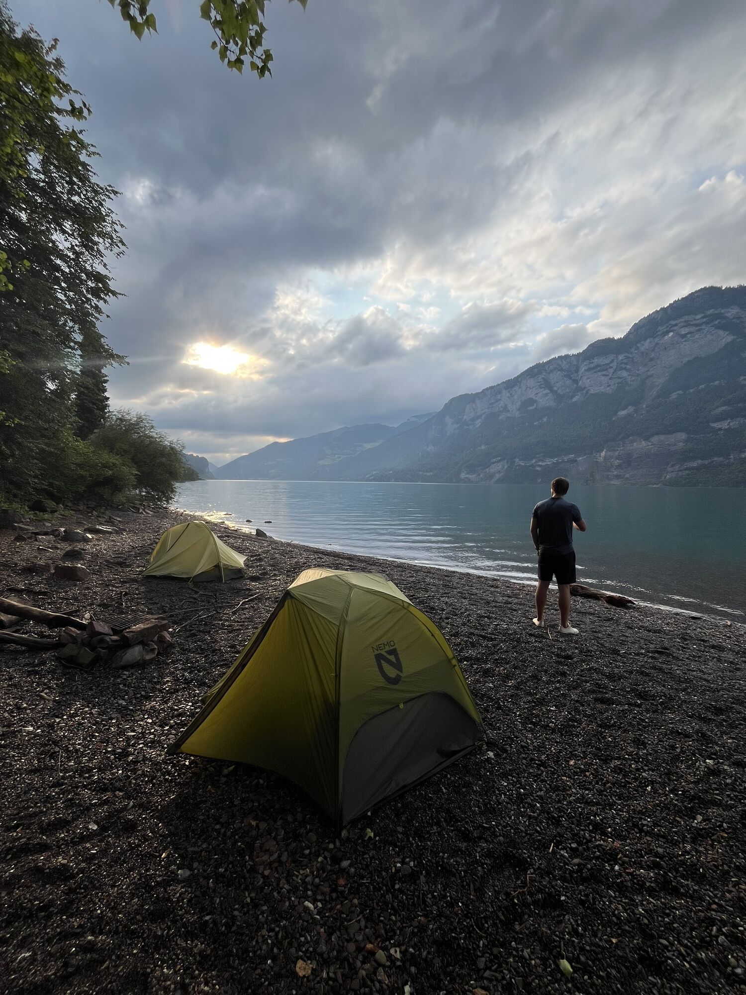
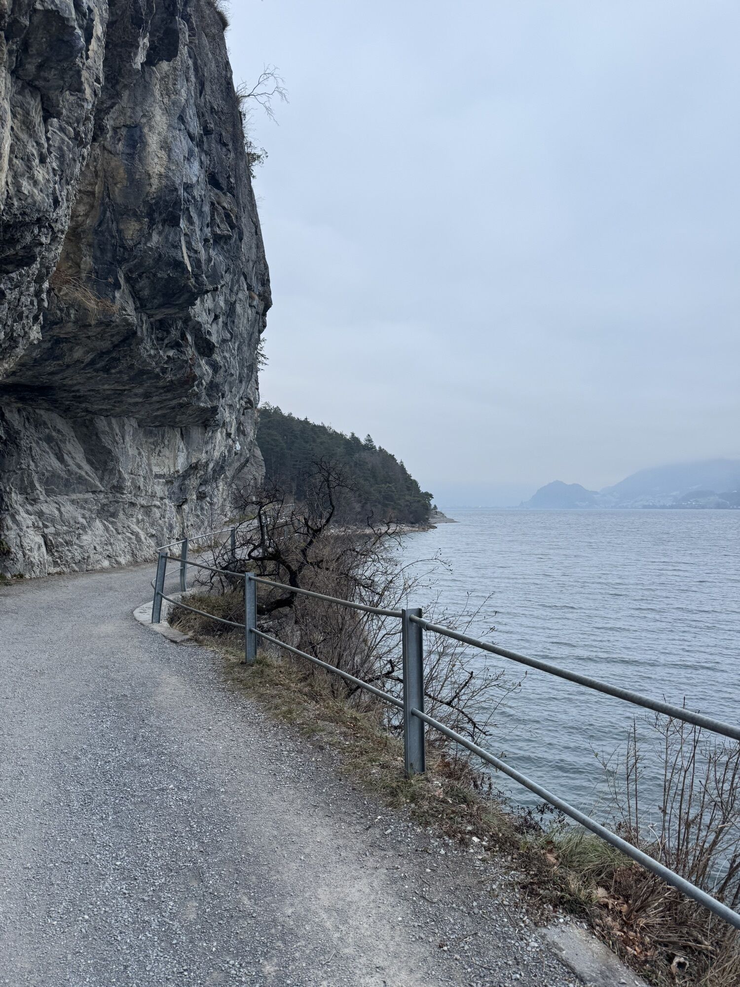
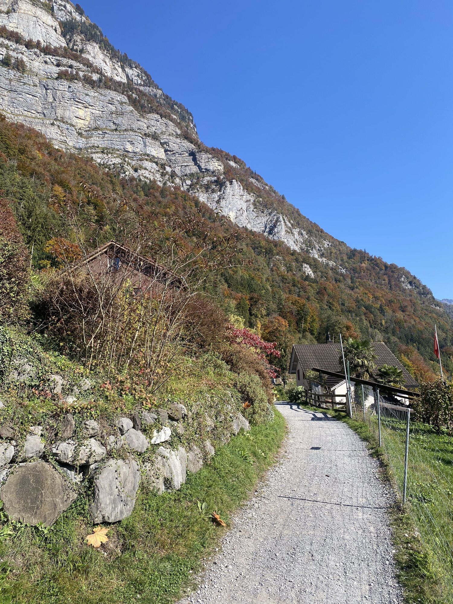
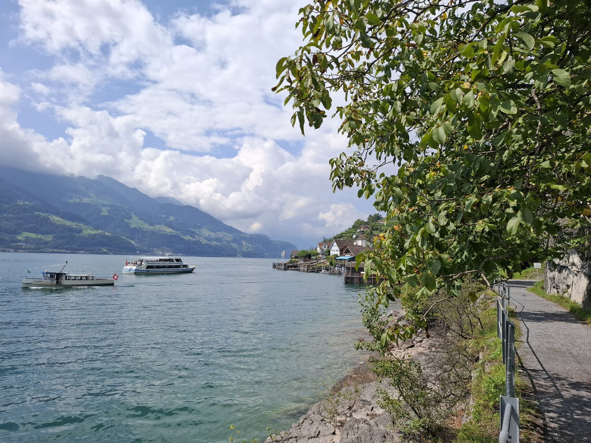
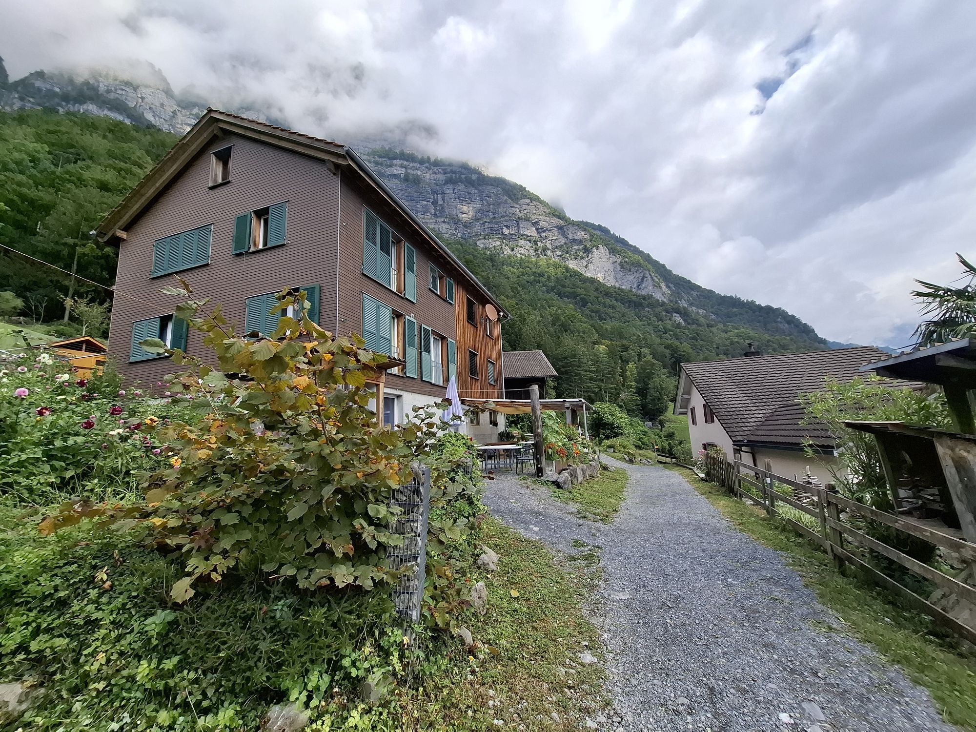
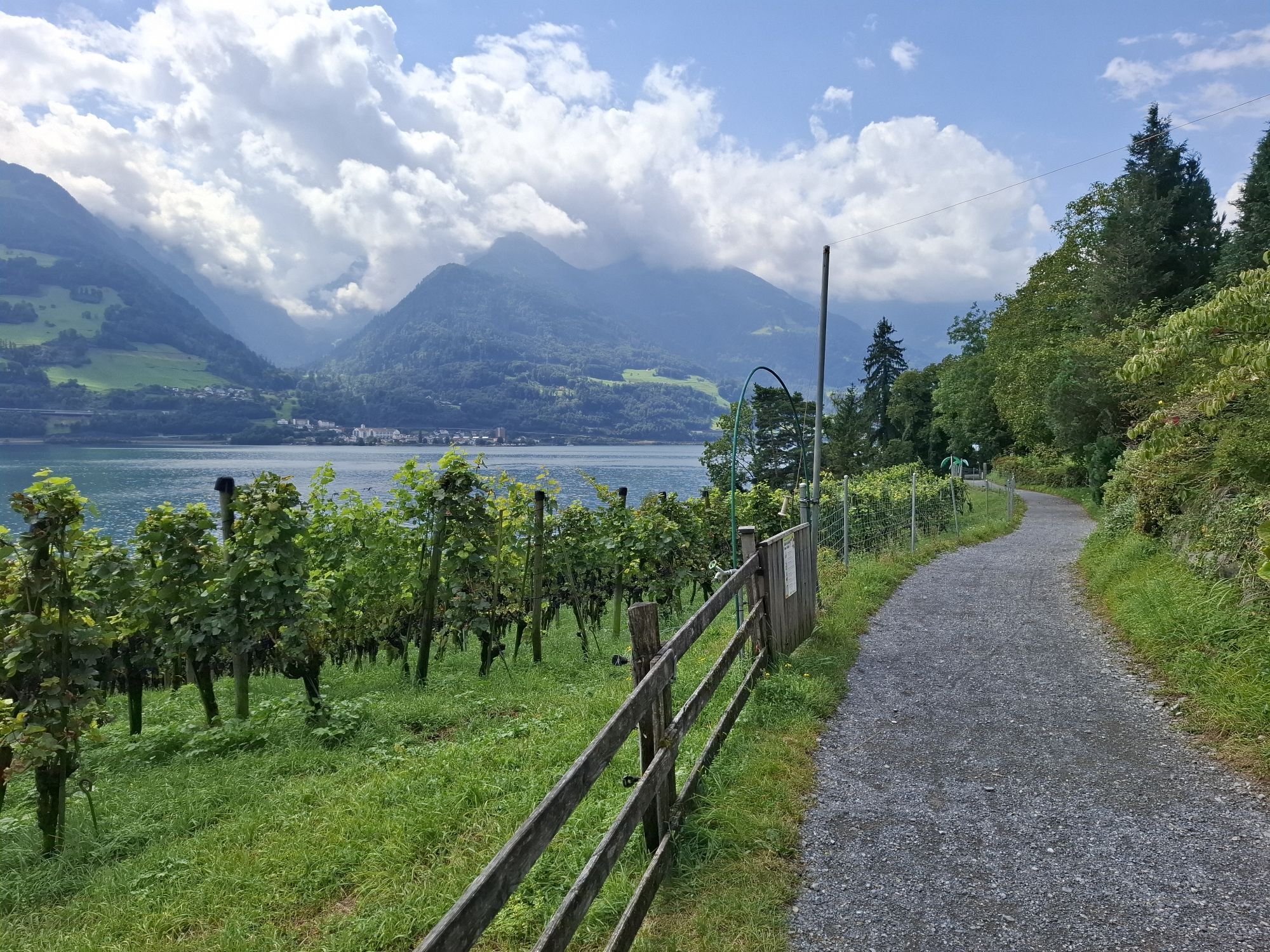
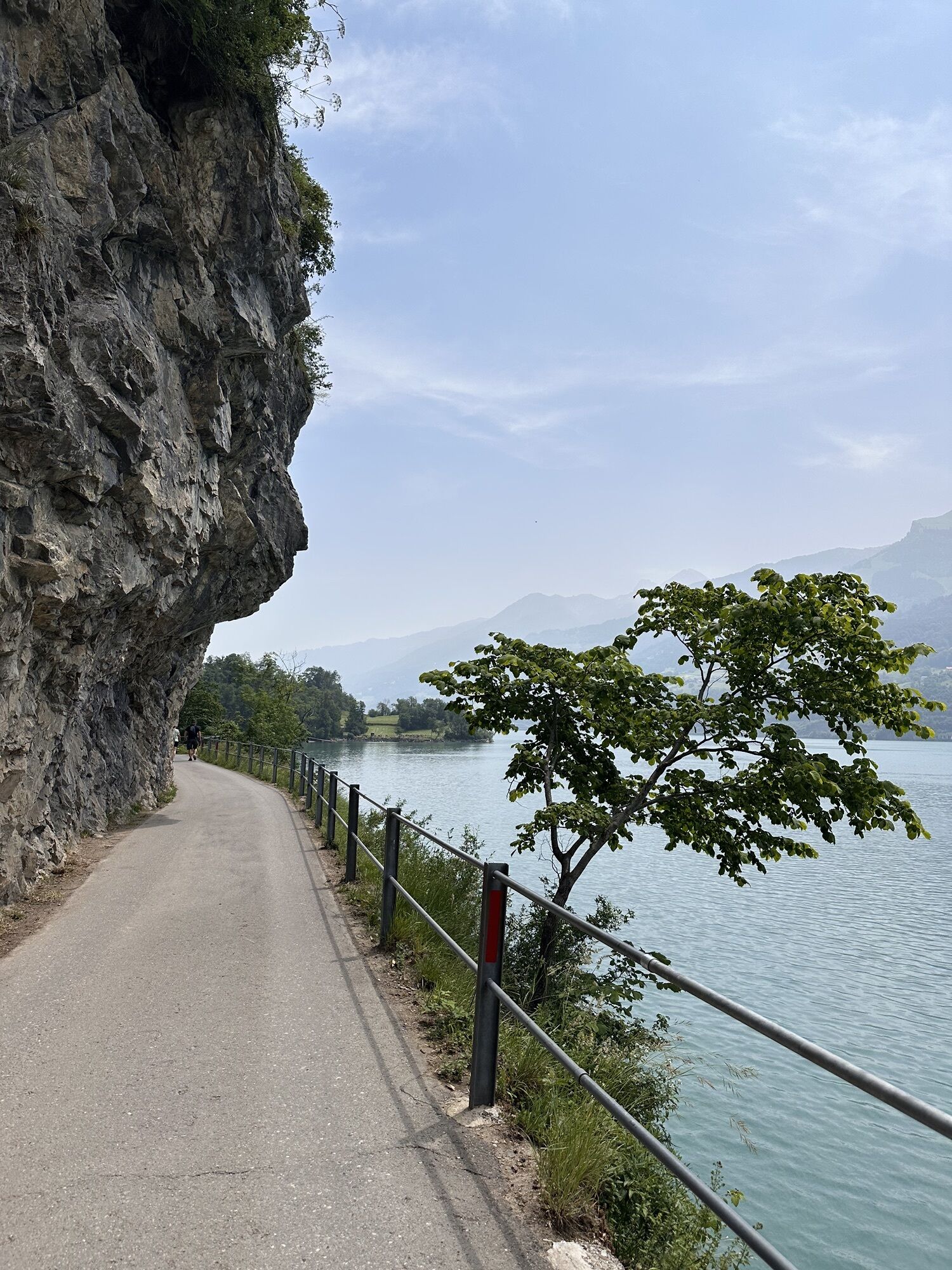
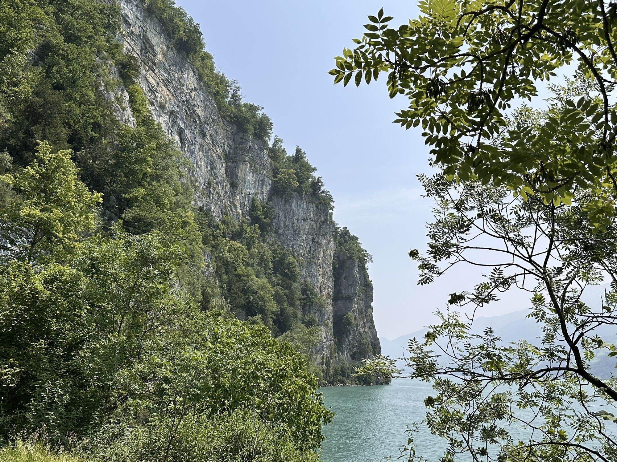
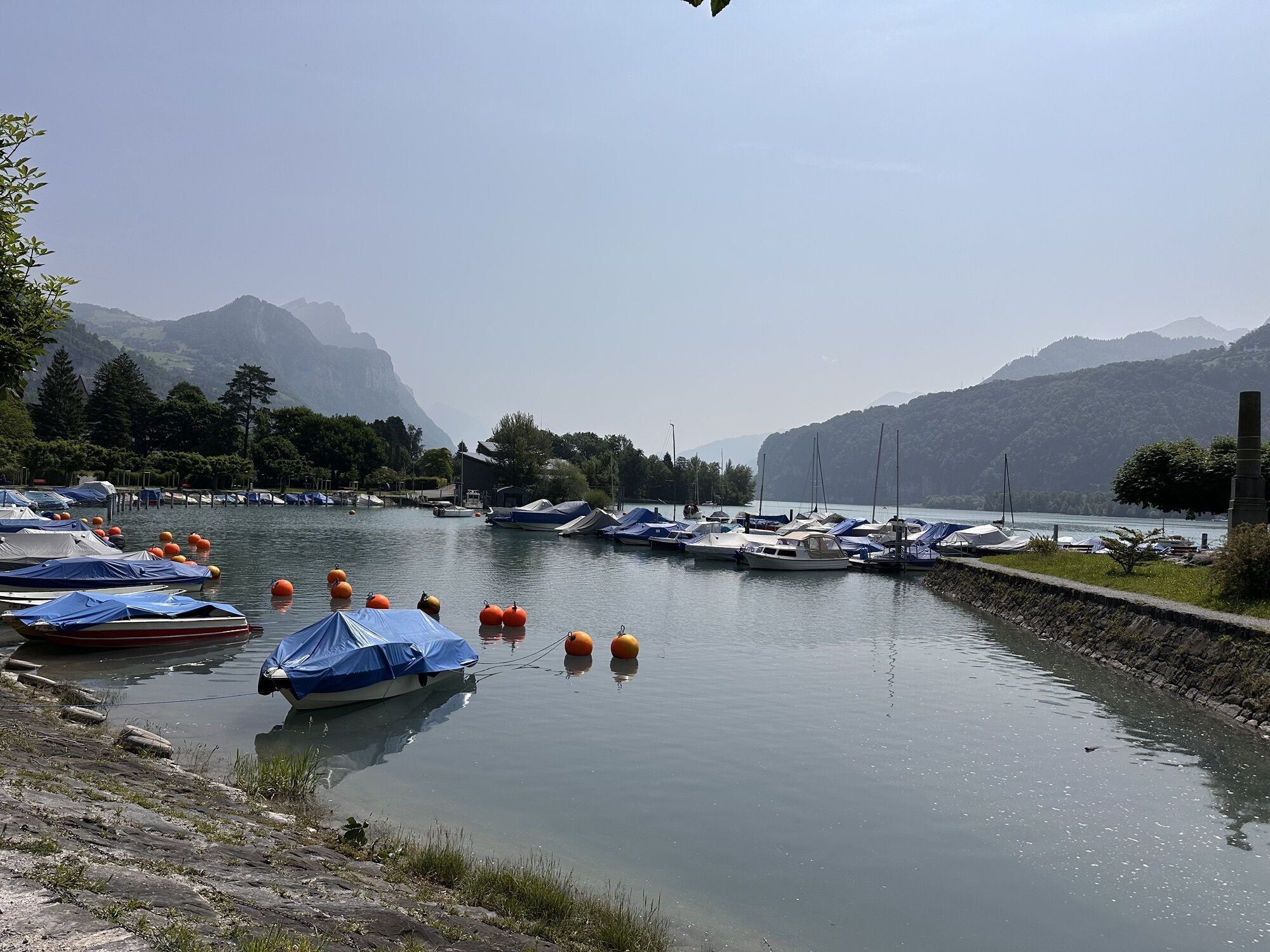
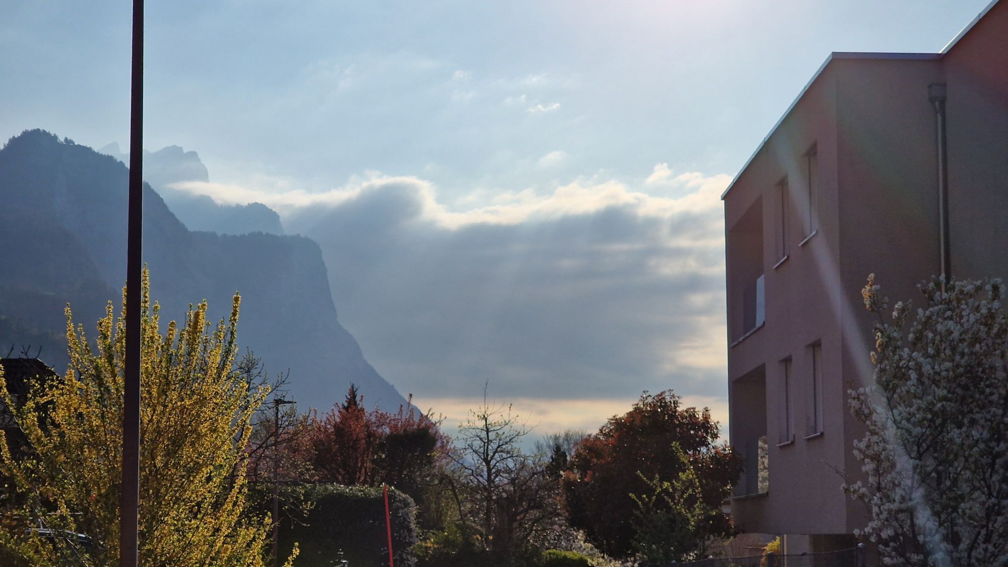
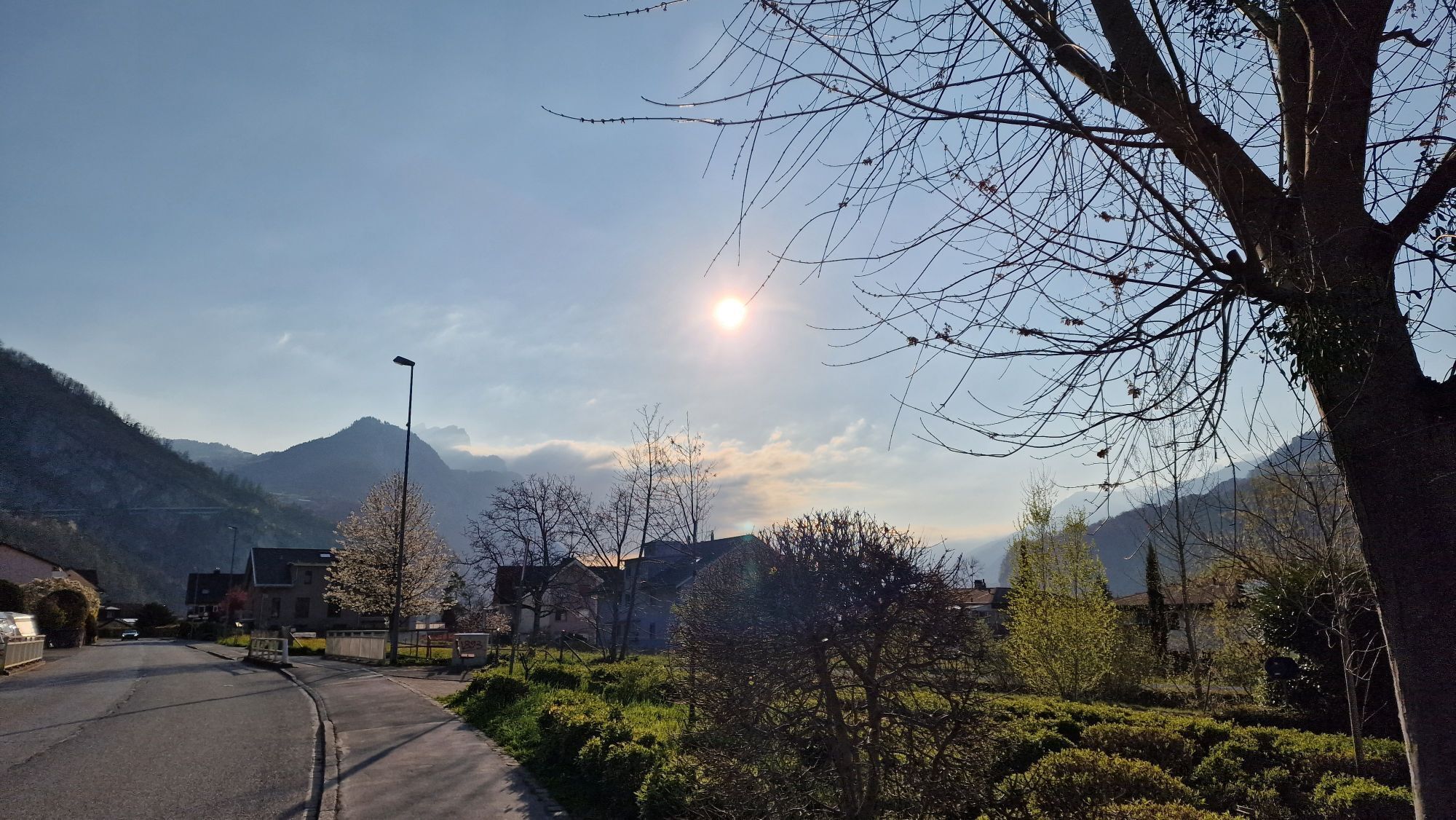
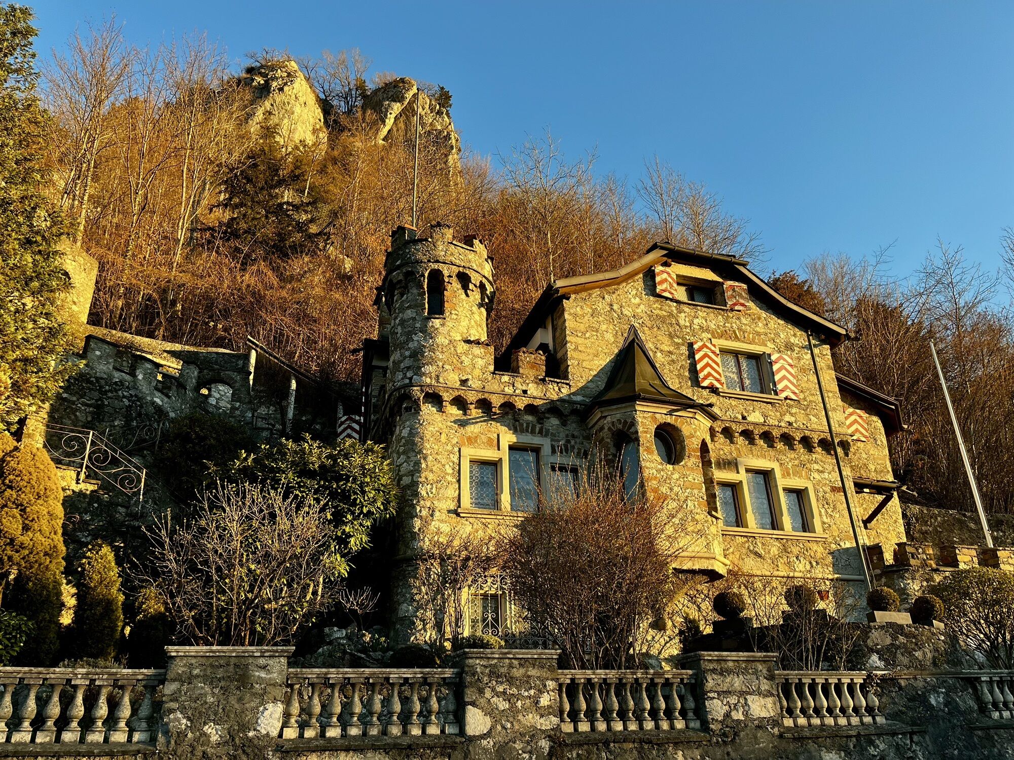
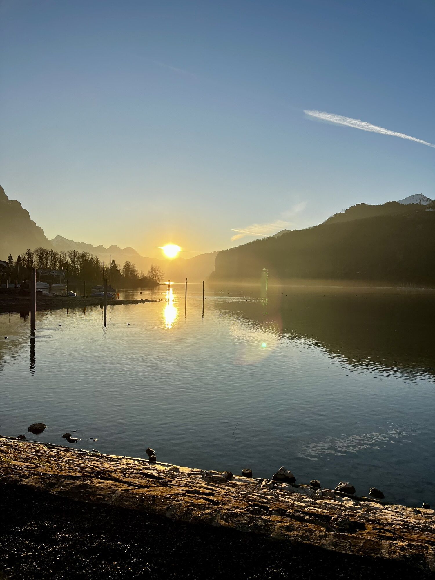

The route starts at Intersport Network in Unterterzen. There you will receive expert guidance from the employees of the sports specialty store Intersport Network. Whether leisurely on an e-bike or a bit...
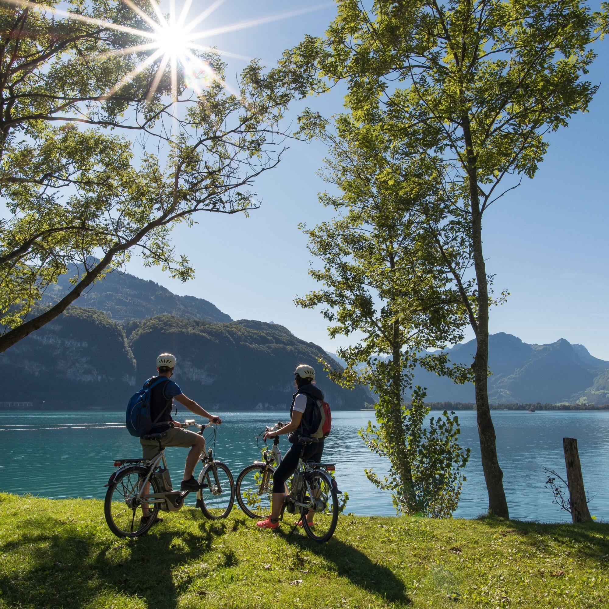
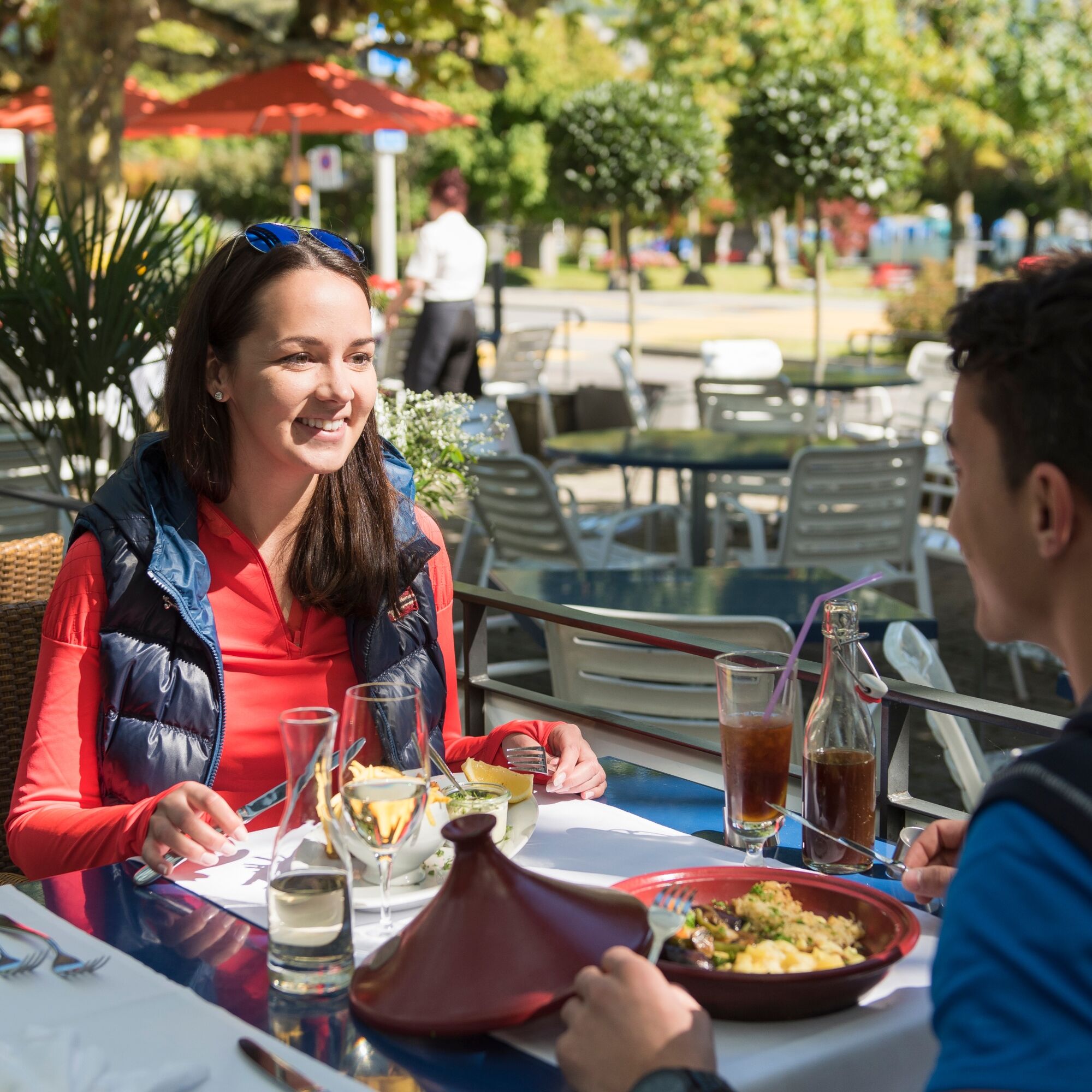
The route starts at Intersport Network in Unterterzen. There you will receive expert guidance from the employees of the sports specialty store Intersport Network. Whether leisurely on an e-bike or a bit more sporty on a non-motorized bicycle, you proceed via the beach path to Mühlehorn for the starter. At the lake restaurant Zur Brauerei, you can choose from three fresh dishes. After the refreshment, the route continues along Lake Walensee. Through cool forests and tunnels, the route leads to Weesen. Once there, the main course awaits you at Restaurant Flyhof. Afterwards: All aboard! Enjoy an approx. 1-hour boat trip. Alternatively: If you still have some time, an excursion to the impressive Seerenbach Falls is worthwhile, after which you travel from Betlis to the harbor. Upon arrival in Unterterzen, the bikes are handed in and a sweet finale awaits you at Restaurant Marina Walensee.
Time required: 5-6 hours (pure riding time: approx. 3 hours)
Distance: 24 km
Elevation difference: +370 m / -372 m
Difficulty level: easy

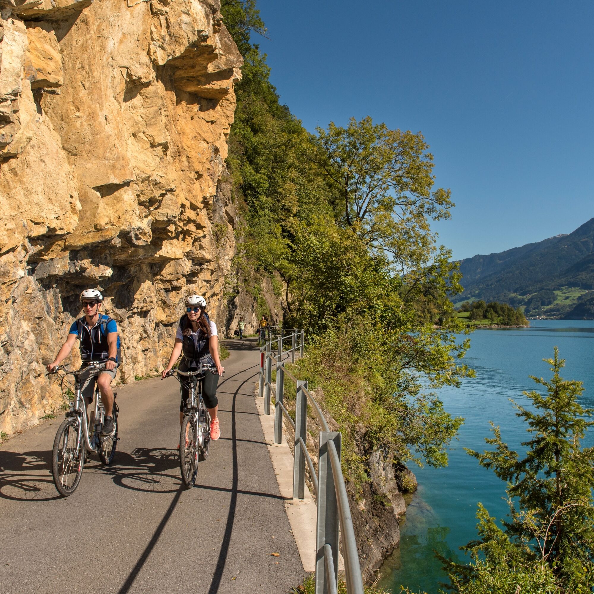
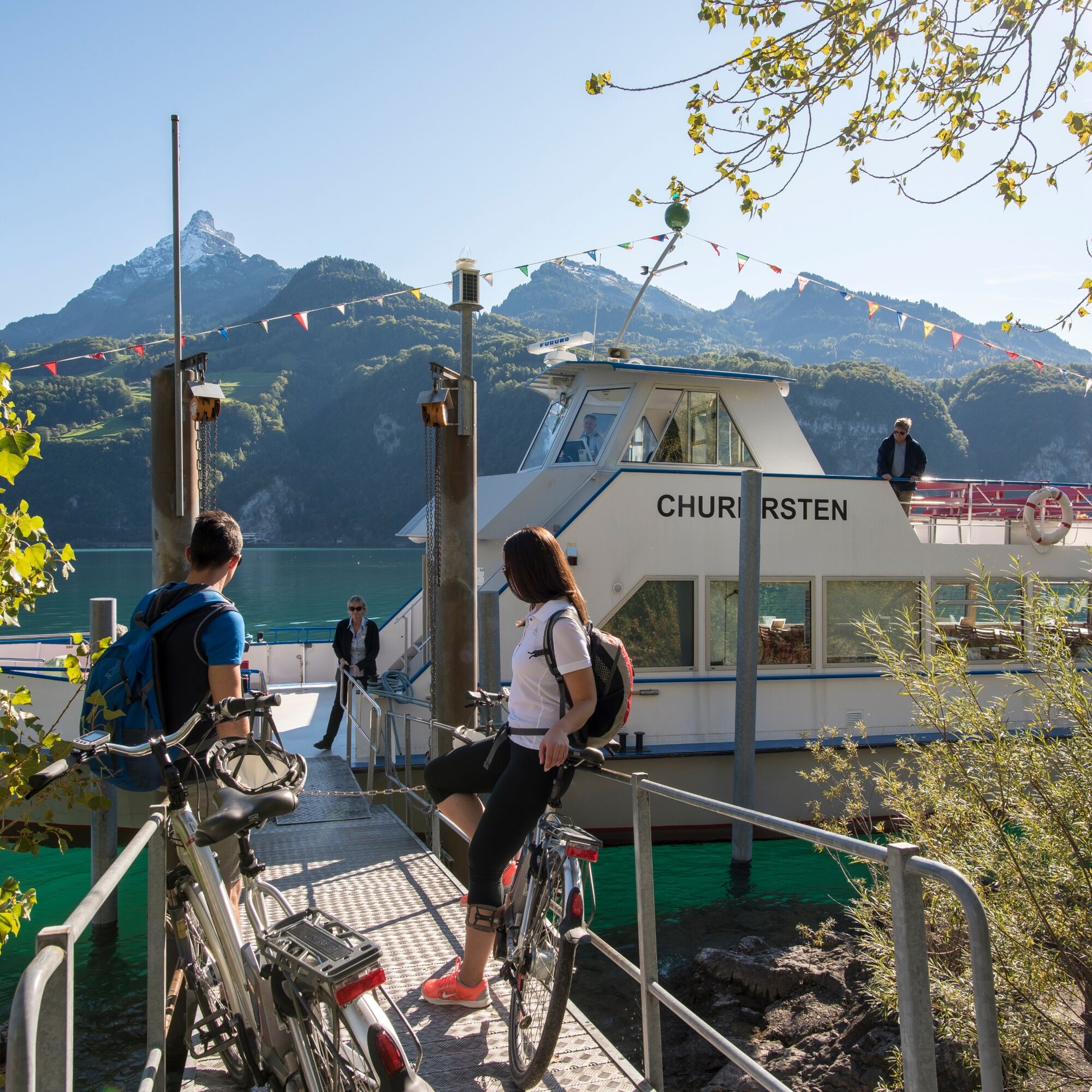
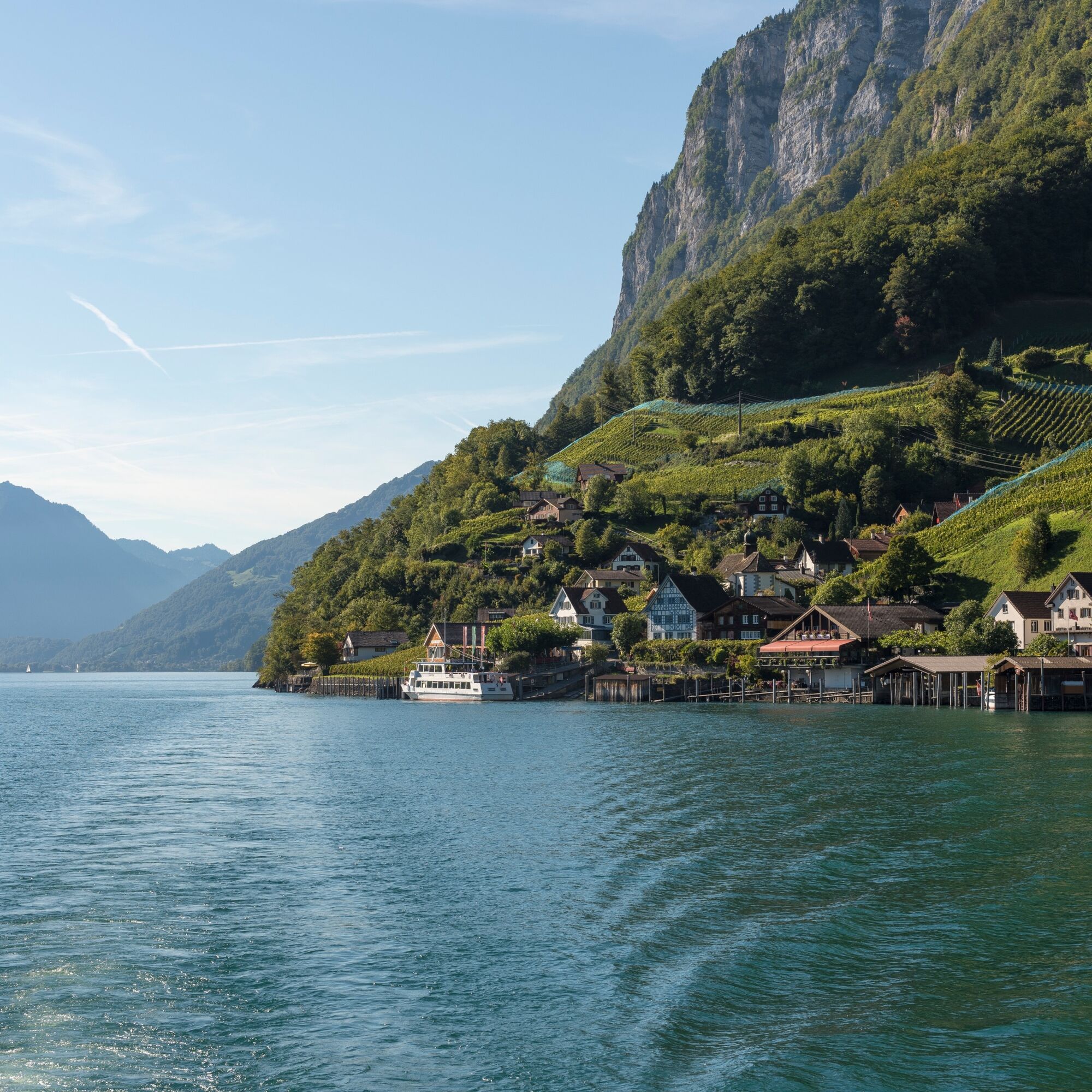
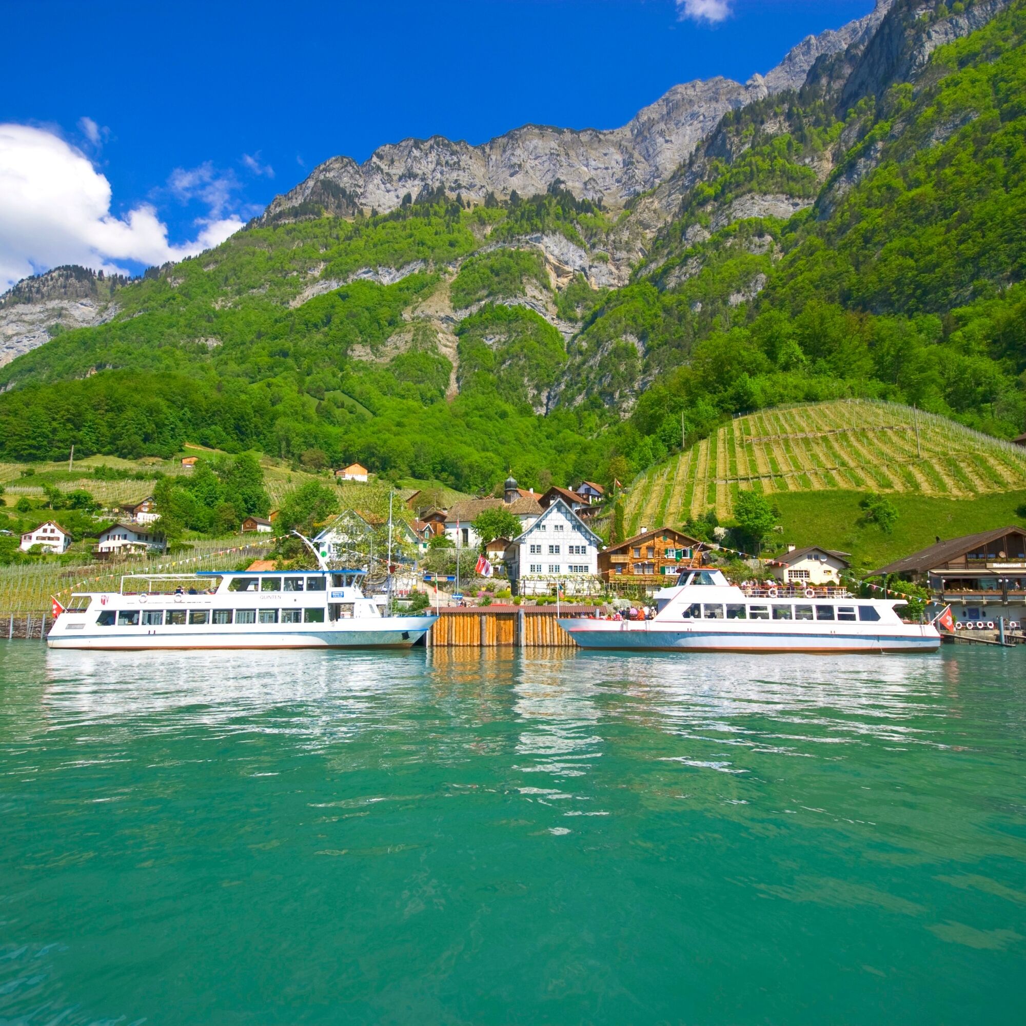
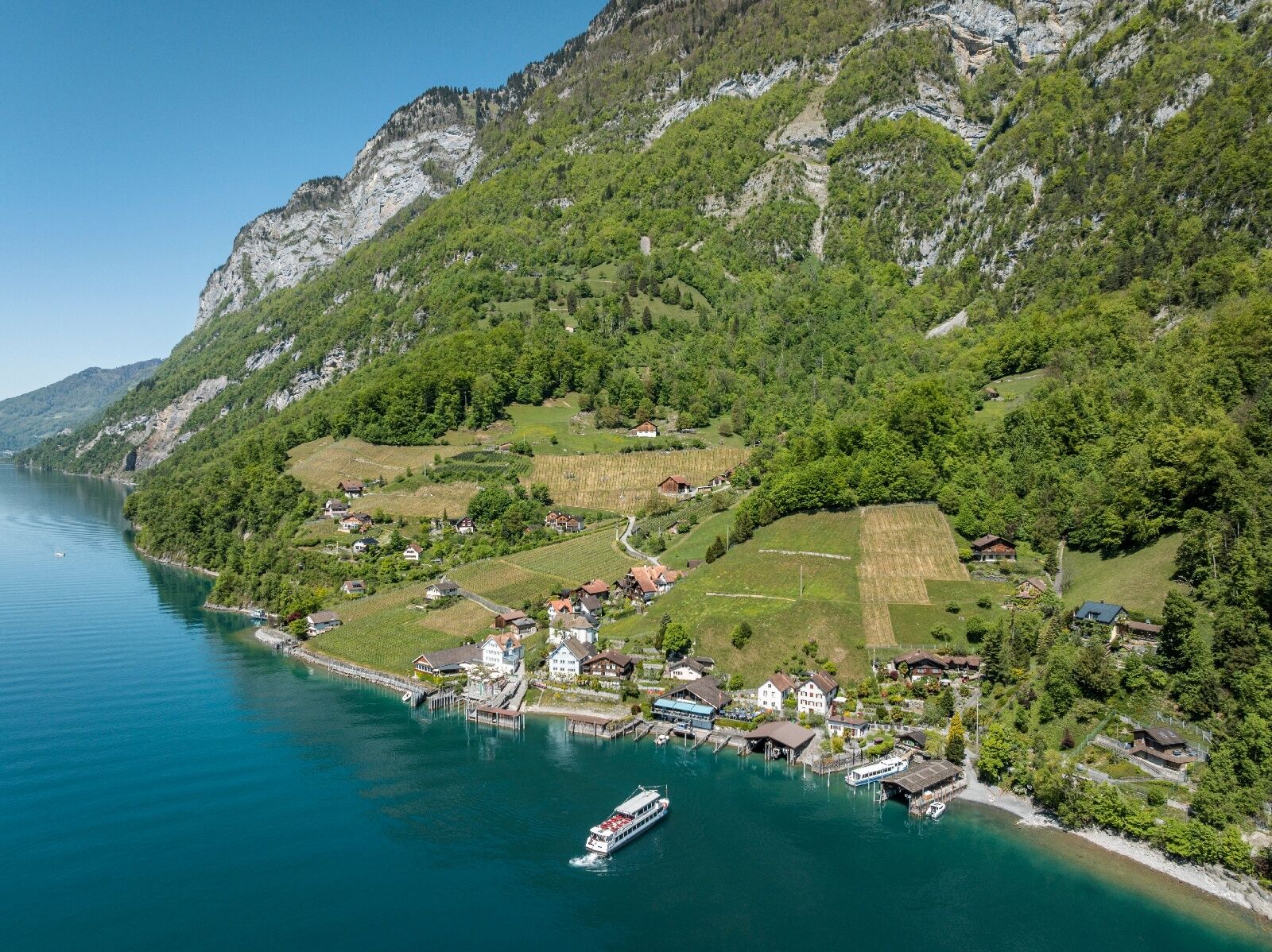

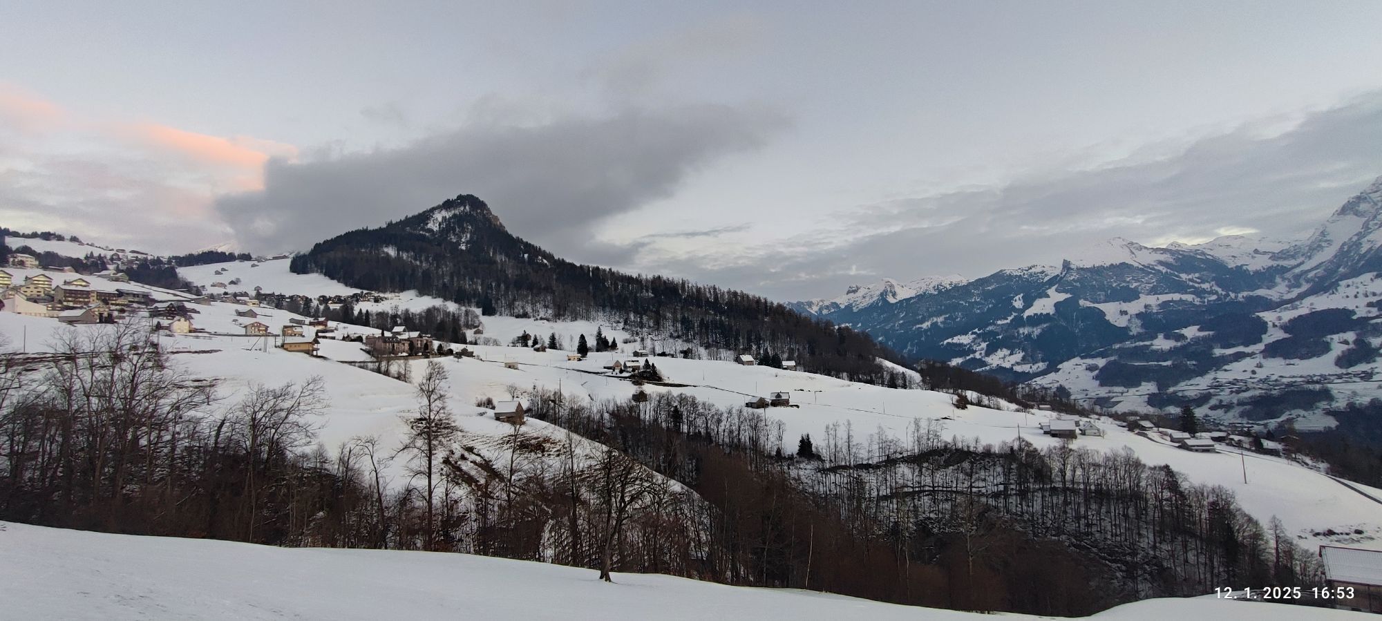
The route starts at Intersport Network in Unterterzen. You leave the lakeshore and ride up to Quarten. Here you reach the highest point of this route. The path then leads down to Murg. You have a constant view of Lake Walensee. Upon arrival in Murg, the route follows along the lake to Weesen. Once in Weesen, you load your bike onto the boat, which takes you back to Unterterzen with some stops. Once ashore again, you cycle back to Intersport Network.
Normal cycling equipment. Functional clothing is an advantage as climbs and descents alternate.
The beach path from Unterterzen to Mühlehorn is reserved for pedestrians on Saturday afternoon and Sunday.
Motorway exit Flums, then on the main road to Unterterzen.
By train to Unterterzen, then on foot to the sports specialty store Intersport Walensee.
Public parking spaces available at the Walensee Resort (paid).
1
Heidiland Tourism, Information Office Bad Ragaz
T +41 81 300 40 20
www.heidiland.com
Betliserstrasse is single-lane only. The following times apply: Direction Betlis: hourly xx:00 to xx:05 and xx:30 to xx:35
Direction Weesen: hourly xx:15 to xx:20 and xx:45 to xx:50
Excursion to the Seerenbach Falls (approx. plus 1 hour). At 305 meters, the Seerenbach Fall in Betlis is one of the highest waterfalls in Switzerland.
Spletne kamere s turneje
-
Prodalp
-
Maschgenkamm - Flumserberg
-
Quarten / Walensee
-
Maschgenkamm - Flumserberg
-
Maschgenkamm - Flumserberg
-
Maschgenkamm - Flumserberg
-
Maschgenkamm - Flumserberg
-
Maschgenkamm - Flumserberg
-
Maschgenkamm - Flumserberg
-
Prodalp
-
Prodalp
-
Prodalp
-
Prodalp
-
Prodalp
-
Arvenbüel, Monte Mio
-
Amden, Sesselbahn Mattstock Bergstation
-
Näfels - Café Konditorei Müller
-
Kerenzerberg
-
Flugplatz Schänis
-
Leist
-
Prodkamm
-
Stelligrat

Priljubljeni izleti v okolici
-
4.8
Walensee Riviera Weesen - Quinten
srednjaPohodništvo 10.2 km -
4.7
Riviera Lake Walen Walenstadt-Quinten
srednjaPohodništvo 10.4 km -
4.6
Weesen - Quinten - Walenstadt
težkoPohodništvo 20.6 km -
4.5
7-Peak Tour Flumserberg
težkoPohodništvo 15.0 km -
4.9
Fronalpstock GL
srednjaPohodništvo 7.84 km -
4.6
4-Summit-Route Flumserberg
srednjaPohodništvo 8.65 km -
4.6
Amden - Speer (Rundkurs)
svetlobaPohodništvo 17.6 km -
4.9
Quarten - Murgseehütte - Berggasthaus Murgsee - Glarus Nord
srednjaPohodništvo 14.7 km -
4.8
Arvenbüel - Egg - Alp Looch - Leistchamm
srednjaPohodništvo 11.4 km -
4.7
Obersee Rundwanderung
srednjaPohodništvo 11.2 km
Pohodništvo in sledenje


Ne zamudite ponudb in navdiha za naslednje počitnice
Vaš e-poštni naslov je bil dodan na poštni seznam.





