


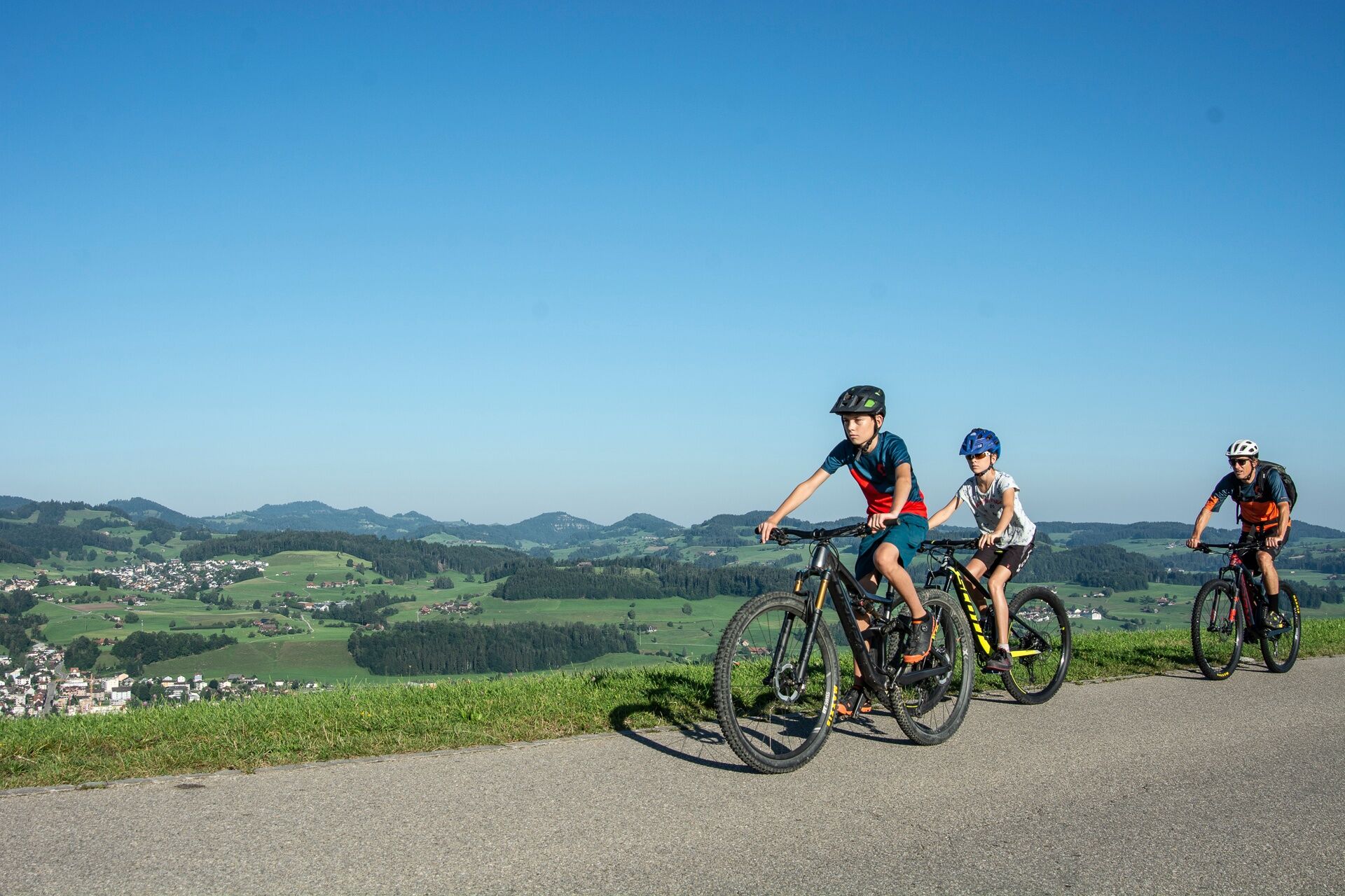
Mountain bike route to Äwil
You roll easily down from Bütschwil station to the covered Thur bridge. You already spot one or another swimming and barbecue spot on both sides of the river, but it is still too early for that.
First,...
You roll easily down from Bütschwil station to the covered Thur bridge. You already spot one or another swimming and barbecue spot on both sides of the river, but it is still too early for that.
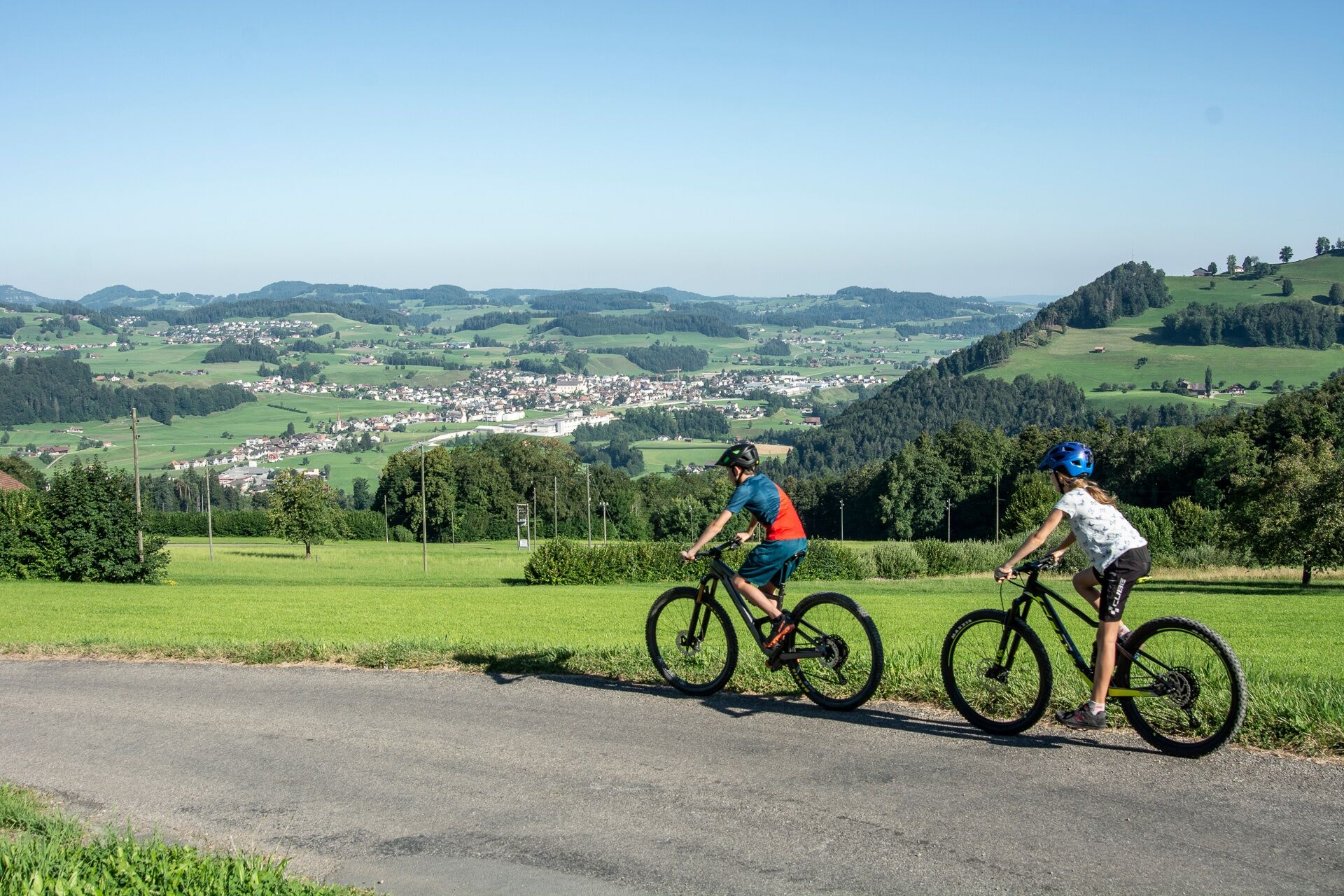
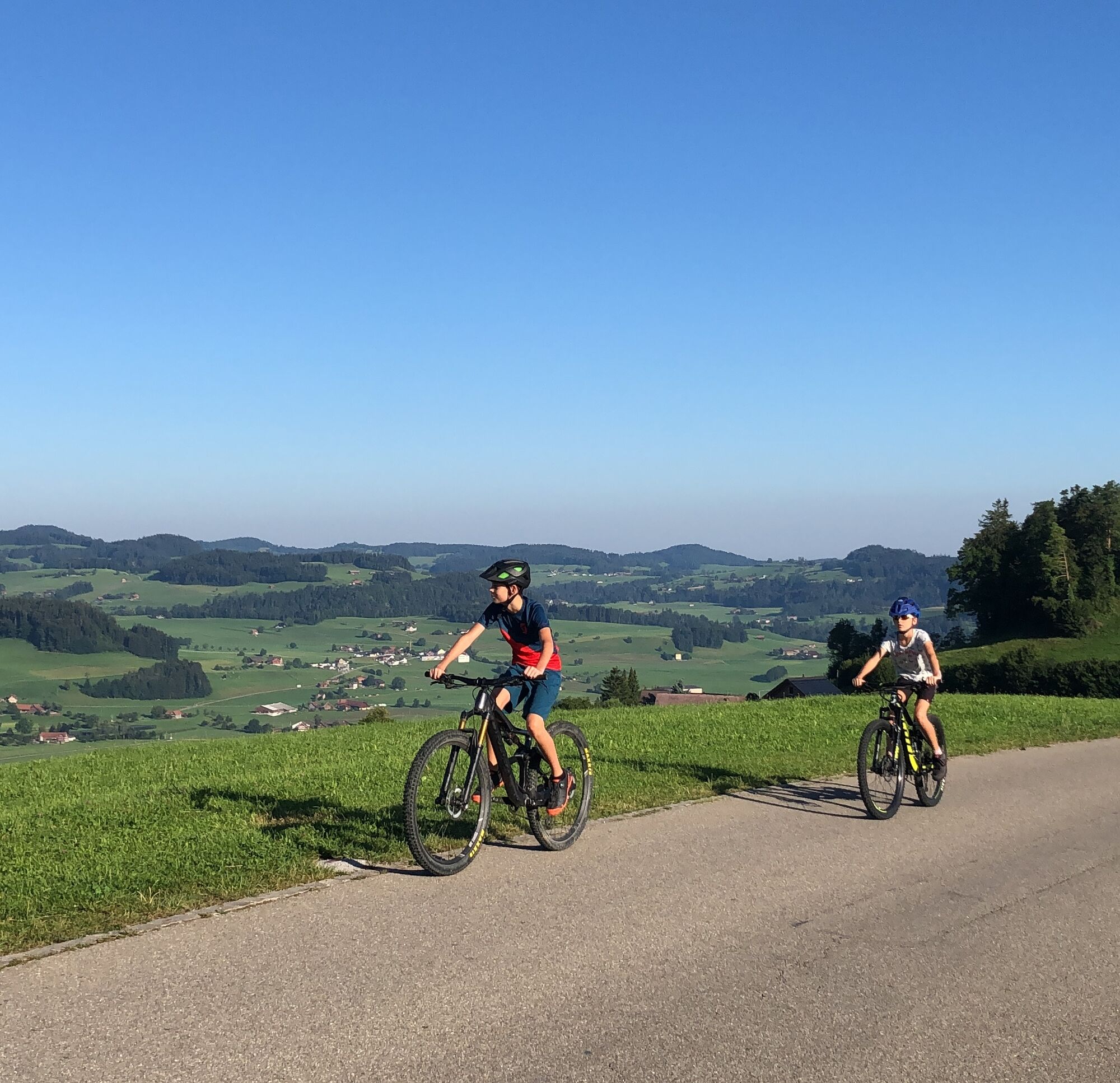
First, the family-friendly route climbs moderately up to Ganterschwil. From here, you shift to a lower gear for the section to Äwil, where half of the total 360 meters of elevation gain have already been covered. Those who wish can take the first break on the viewing terrace of the Berghof restaurant and try one of the various organic cheeses from their own dairy farm. Between Äwil and Bild, the asphalt road relaxes pleasantly and there is enough time to enjoy the panoramic view over Lower Toggenburg. Finally, a steeply ascending gravel road leads to the highest point of this circular route, the Geissberg (841 m). The well water of the farm is ice cold, perfect for refreshing yourself before a rapid descent down to Oberhelfenschwil.
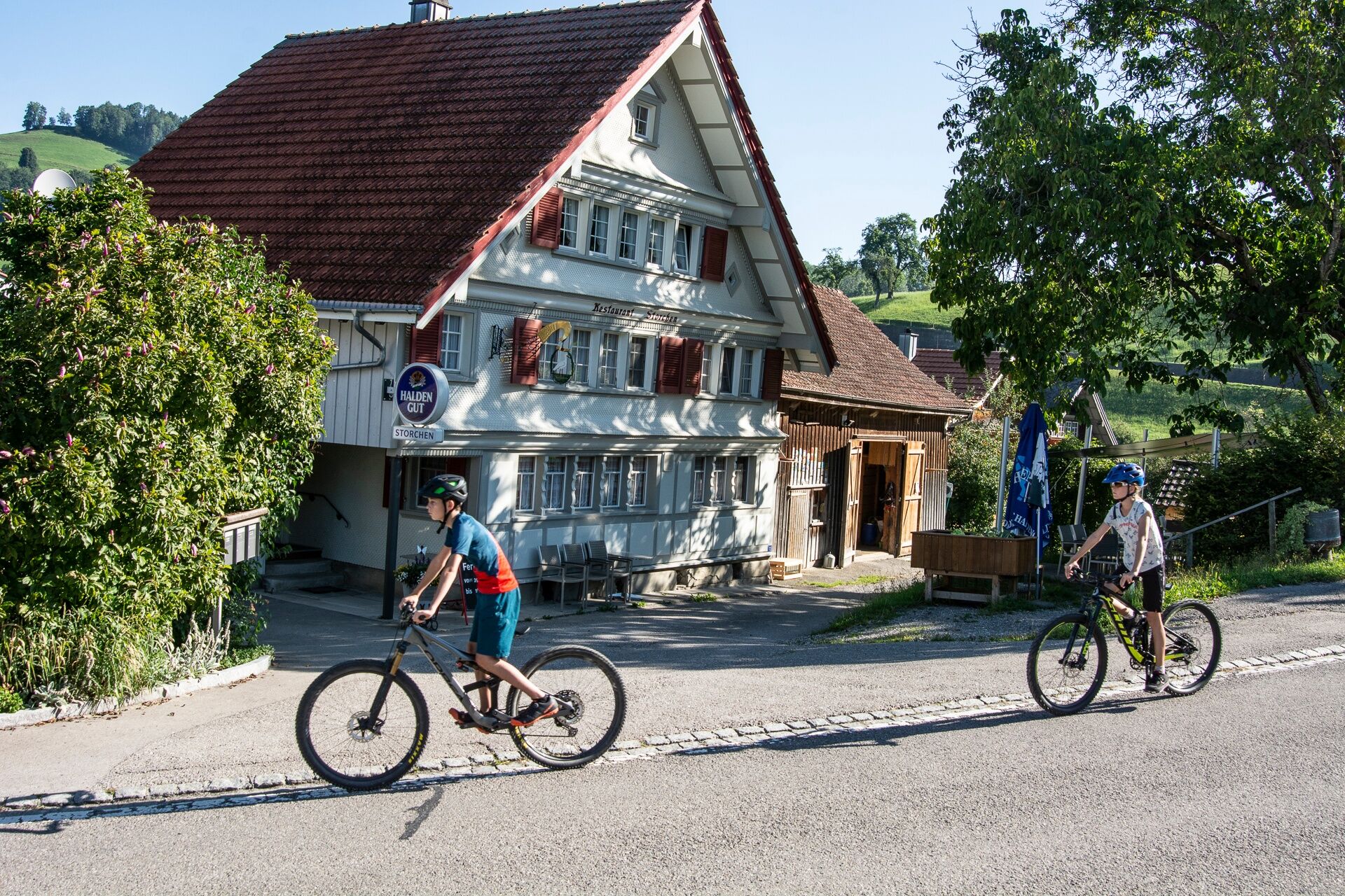
Almost done! From Oberwil, a short climb is followed by a swift descent to Dietfurt. From here, traffic noticeably increases and the road is shared with motor vehicles. For safety, children up to 12 years ride on the sidewalk. From the bridge, you can once again see some inviting swimming spots with wide gravel banks that you can descend to. You have definitely earned this.
Note(s)
The route is marked only in the direction recommended by cyclists.

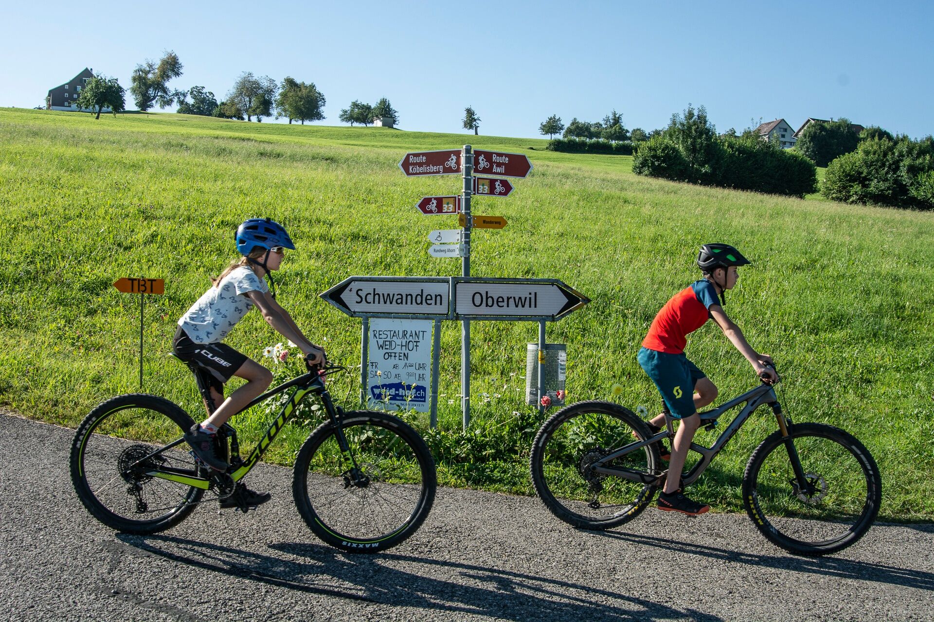
Bütschwil - Thur at Soor - Oetschwil - Ganterschwil - Aewil - Radio mast - Oberhelfenschwil - Oberwil - Wigetshof - Dietfurt - Bächli - Soor - Bütschwil
Da
Priljubljeni izleti v okolici
-
3.2
Winter hike at the Hulftegg
svetlobaZimsko pohodništvo 7.39 km -
4.2
Schnebelhorn Rundwanderung
srednjaPohodništvo 11.9 km -
4.5
Hulftenegg - Hörndli
svetlobaZimsko pohodništvo 6.98 km -
Wanderung von Hemberg zum Ofenloch
srednjaPohodništvo 10.9 km -
4.5
Hike from Ebnat-Kappel to Tanzboden
srednjaPohodništvo 14.5 km -
4.0
Schönengrund - Hochhamm - Schönengrund
srednjaPohodništvo 9.51 km -
4.7
Hike at Hulftegg
svetlobaPohodništvo 7.42 km -
4.0
Ski route to Tanzboden
srednjaSmučarska tura 6.89 km -
4.3
Bauma - Chlihörnli - Hörnli - Steg
srednjaPohodništvo 10.3 km -
2.6
Snowshoe hike to Tanzboden
srednjaSnežni čevlji 11.6 km

Pohodništvo in sledenje


Ne zamudite ponudb in navdiha za naslednje počitnice
Vaš e-poštni naslov je bil dodan na poštni seznam.