





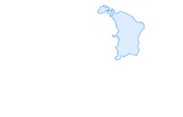

Mountain bike route on the Amdnerhöhi
Stopnja težavnosti: S1
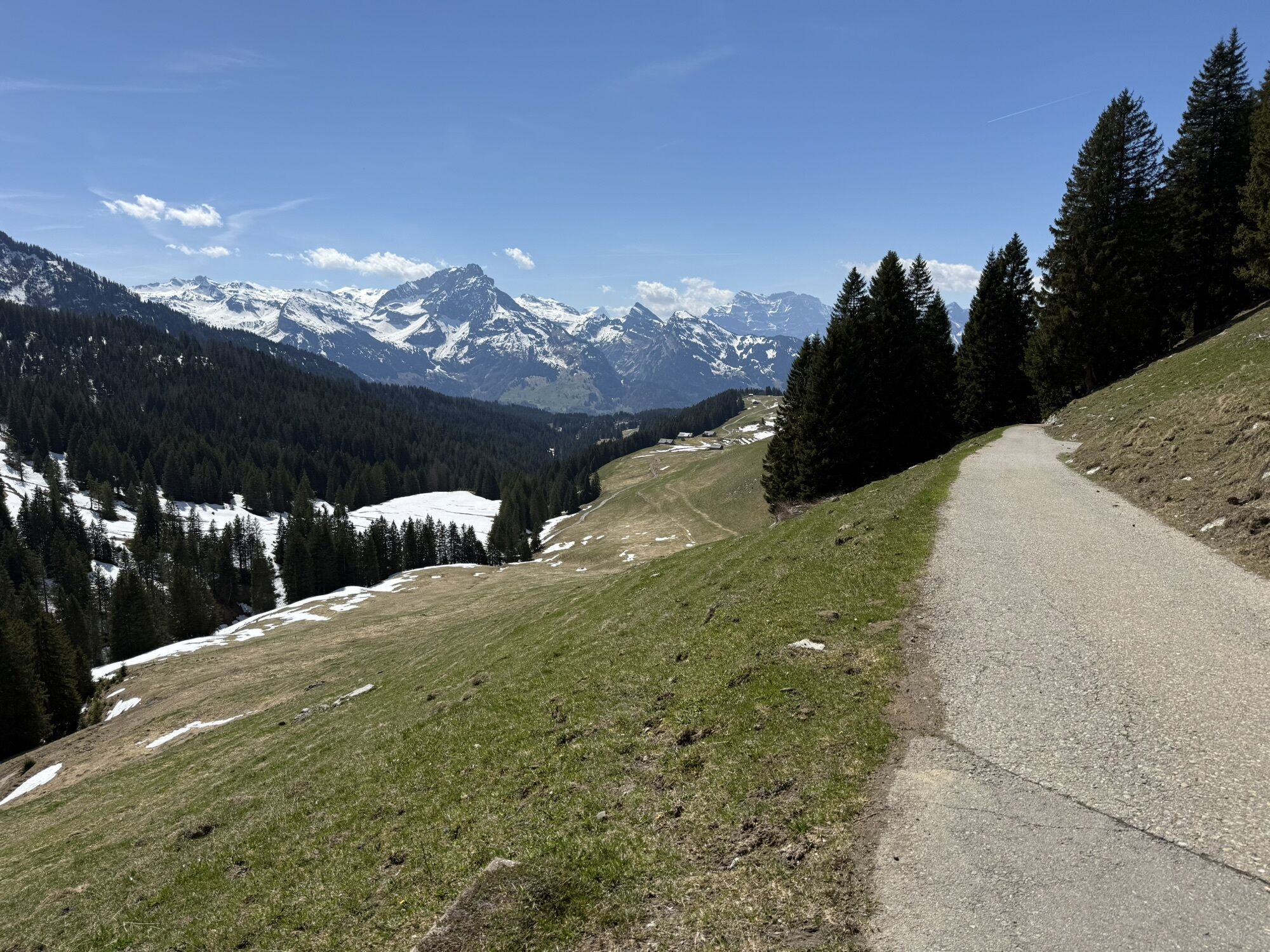
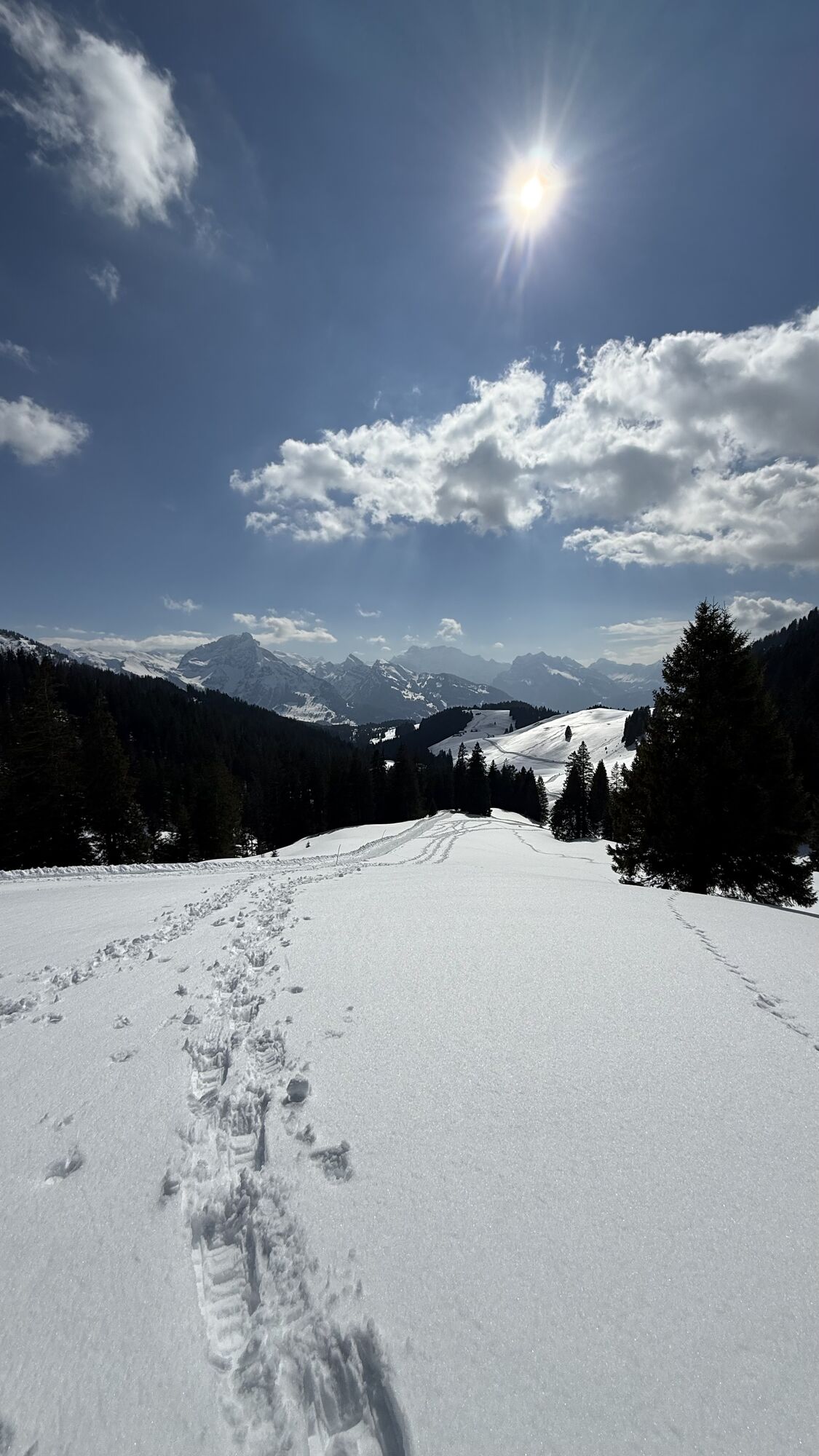


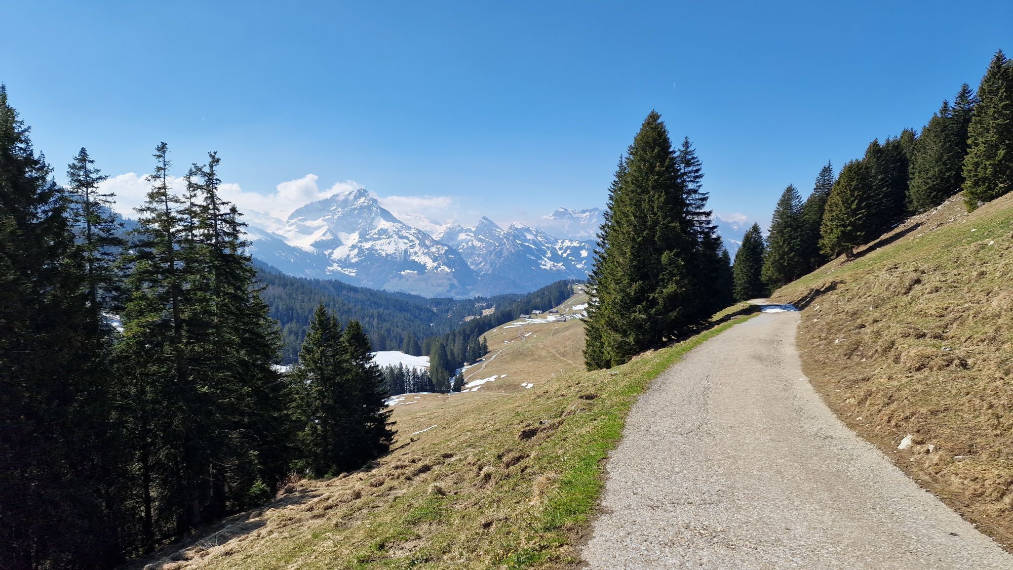
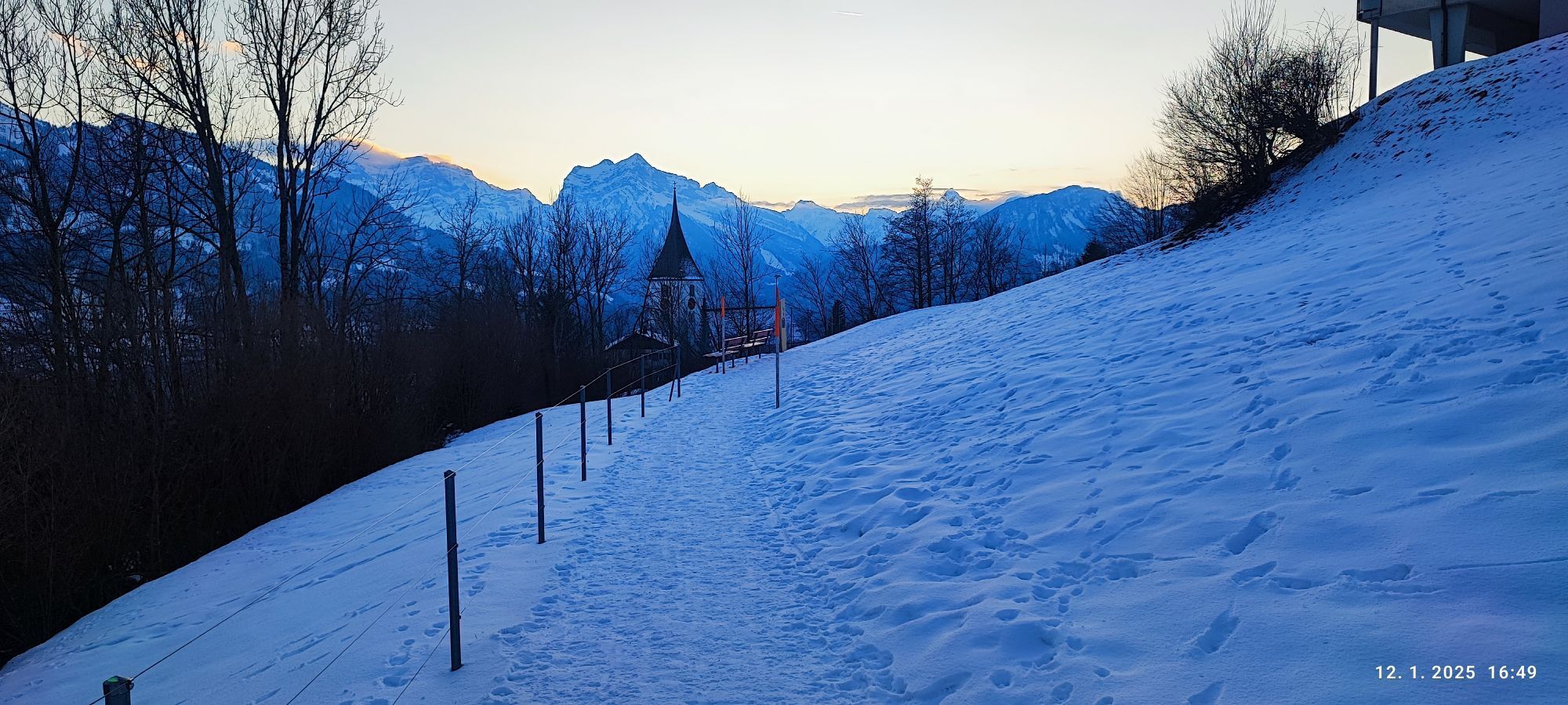
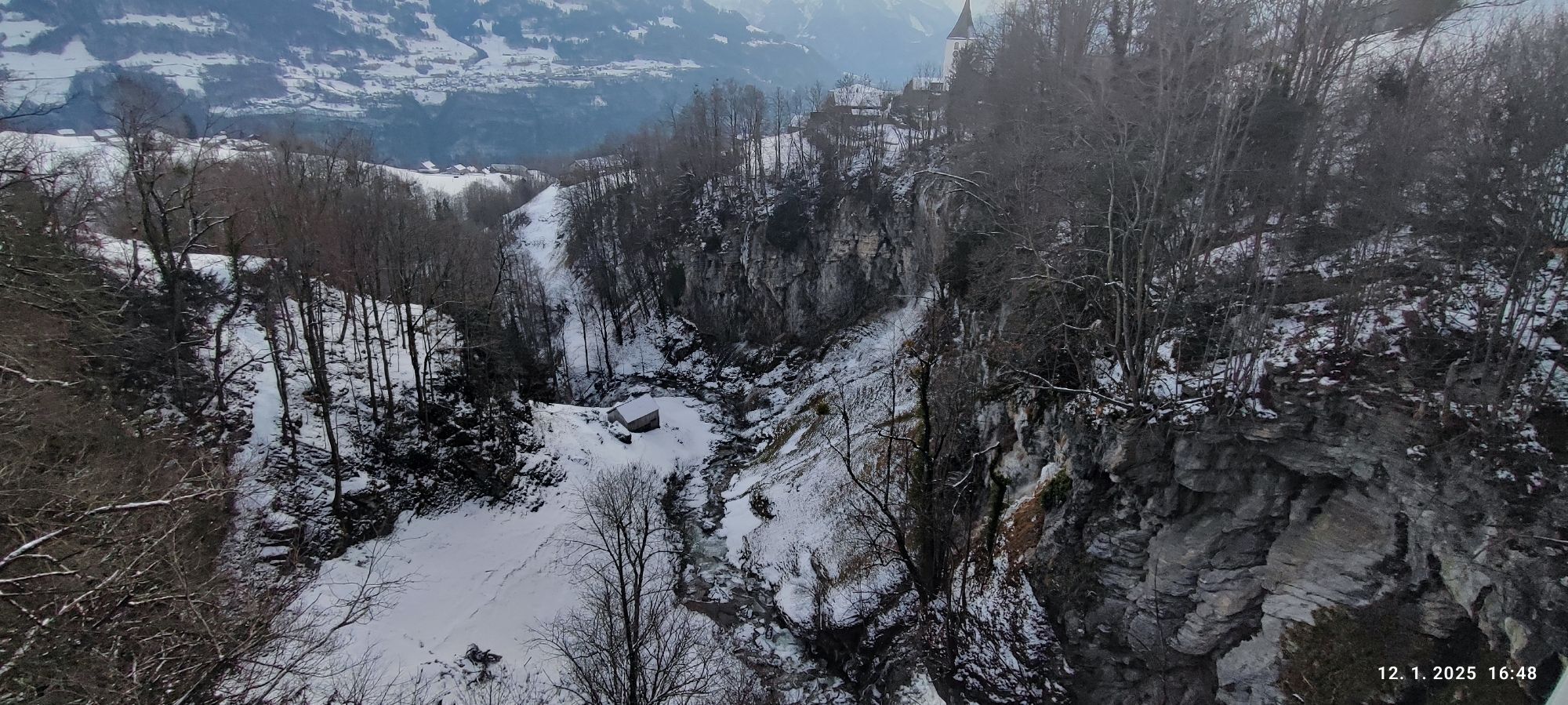
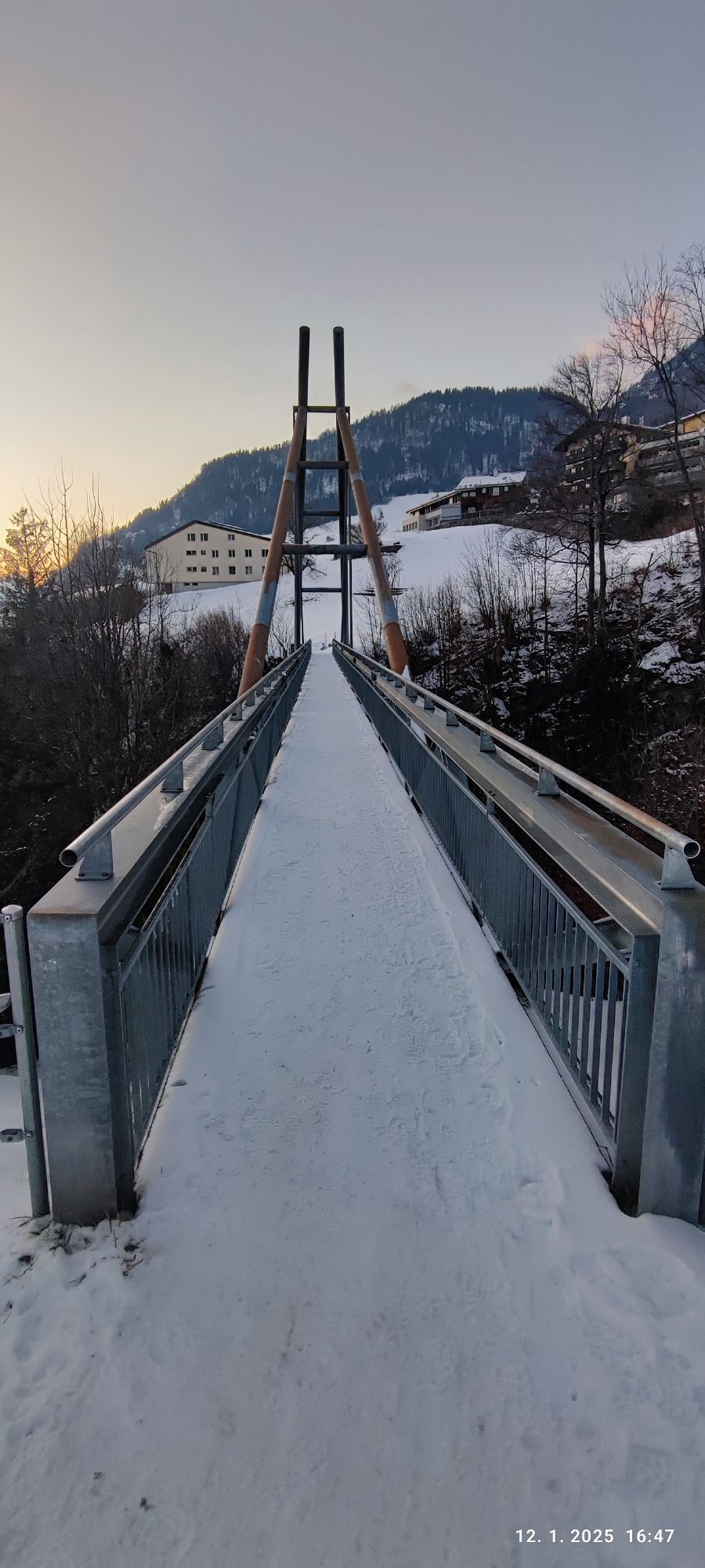
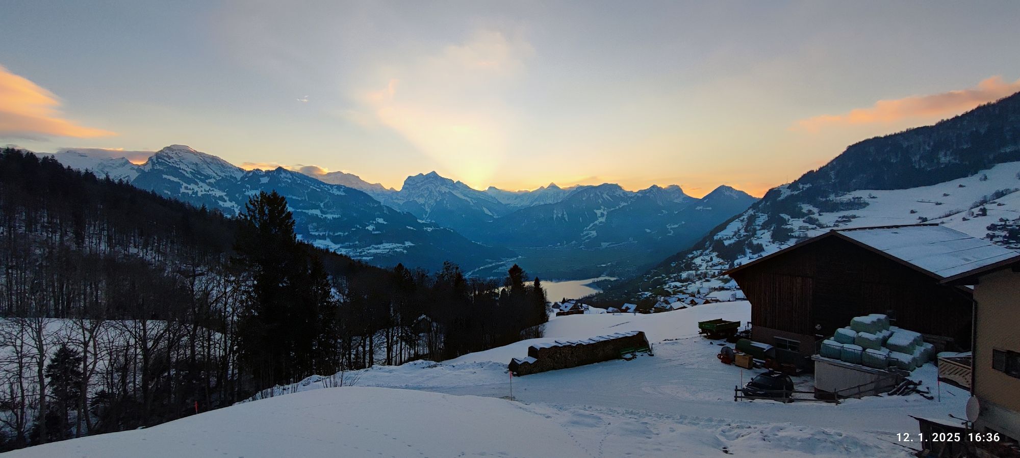
The route starts at the Alt. St. Johann post office, very close to the former monastery of the St. Gallen monks before they moved to Neu St. Johann. On the right side of the Thur, you first ride gently...
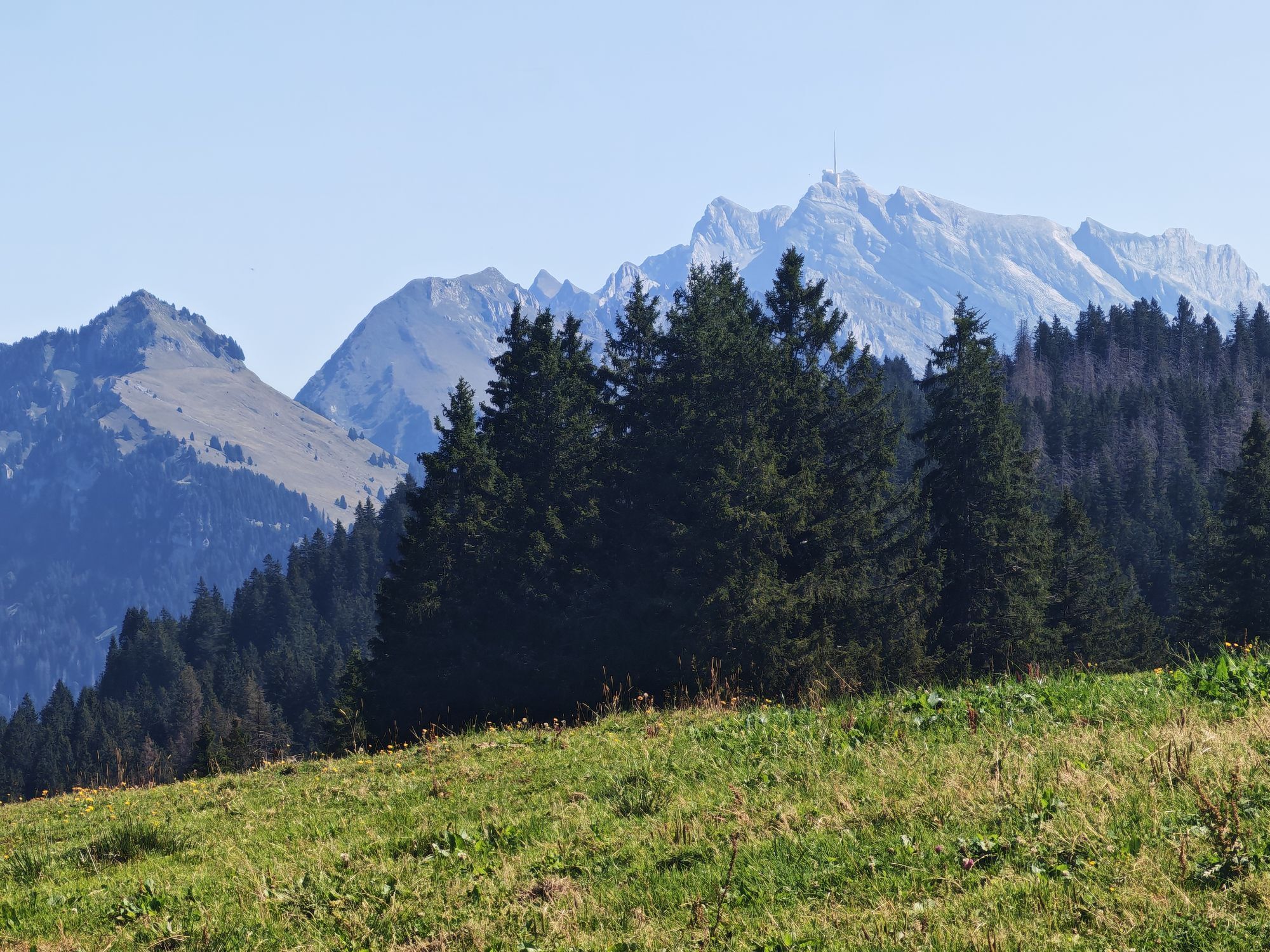
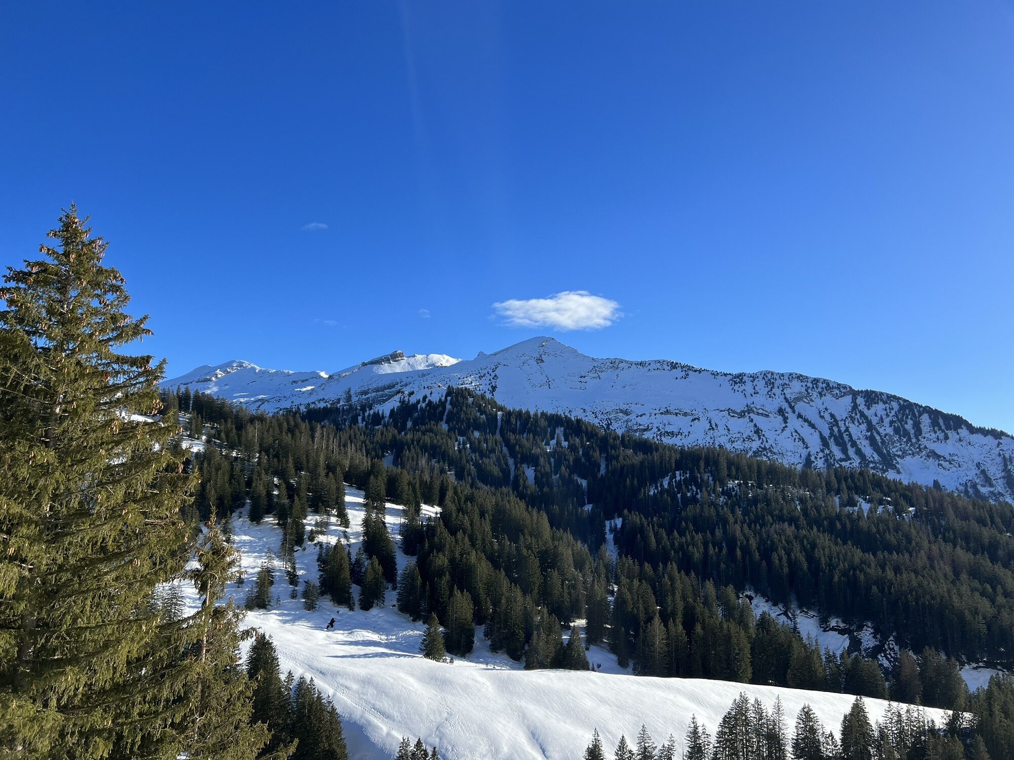
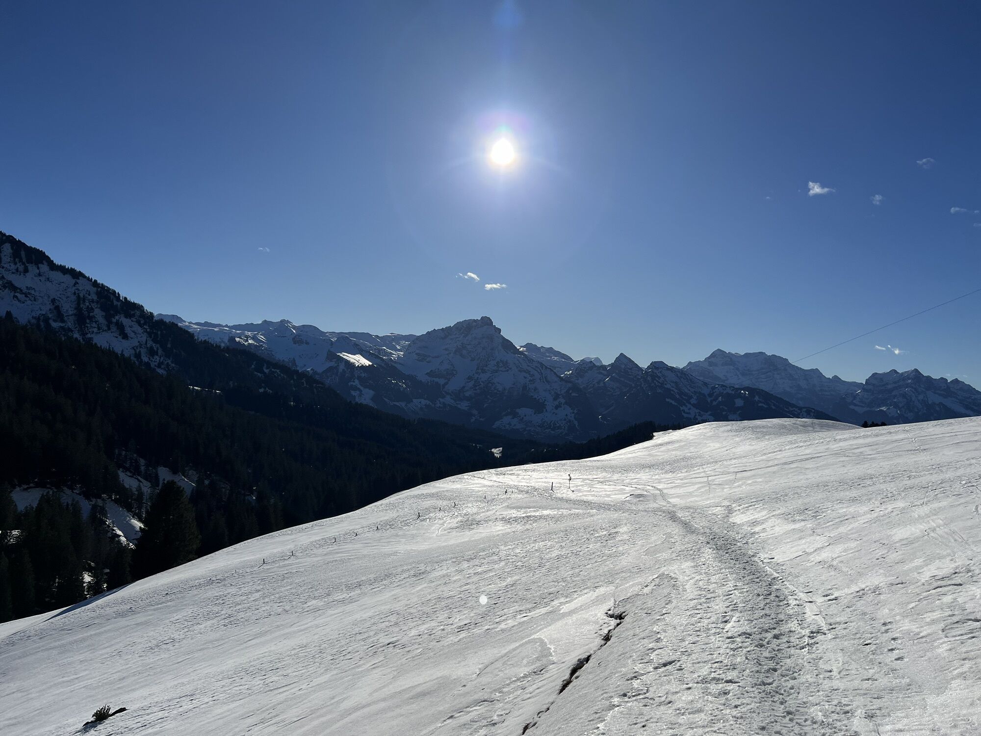
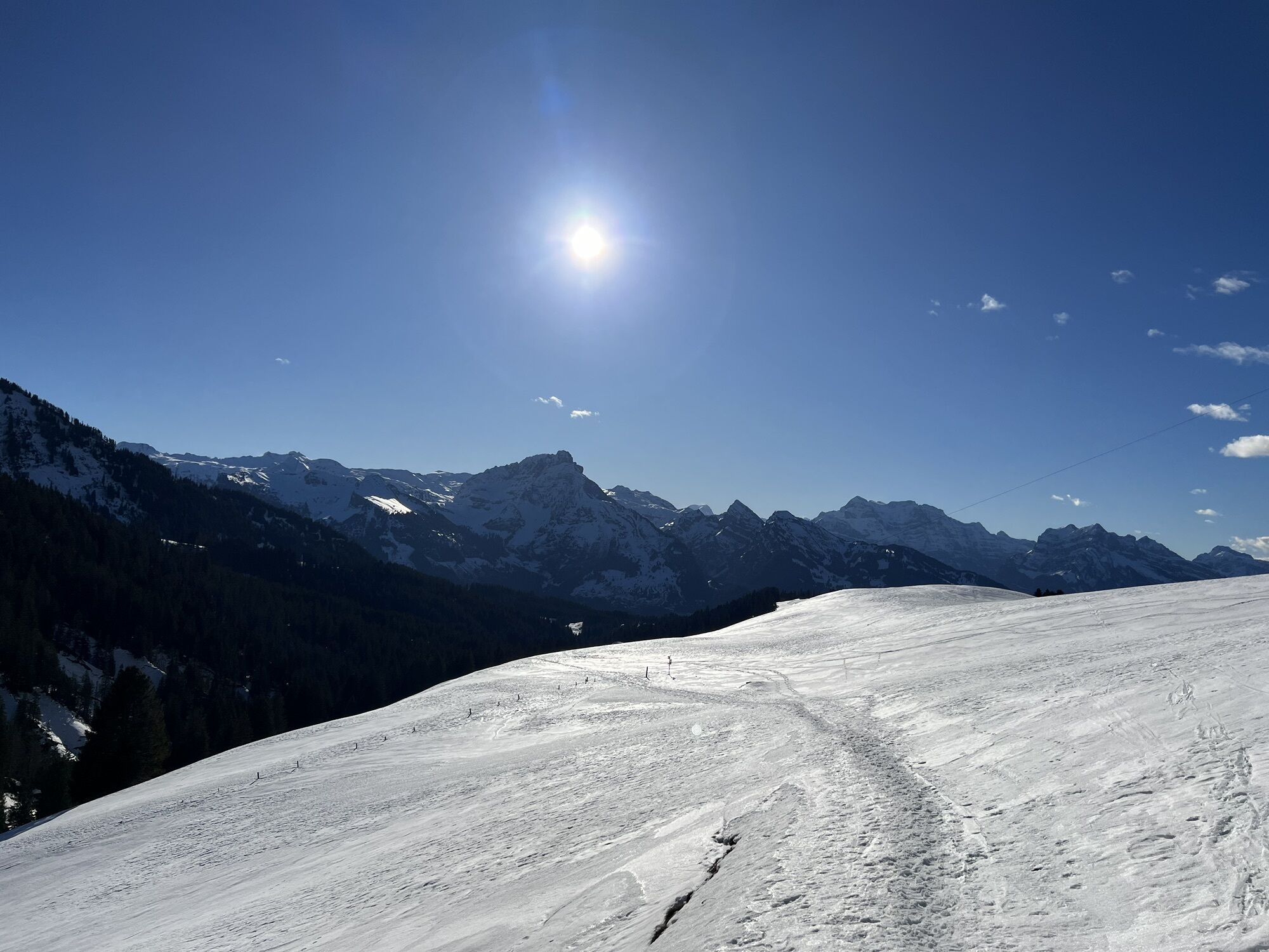
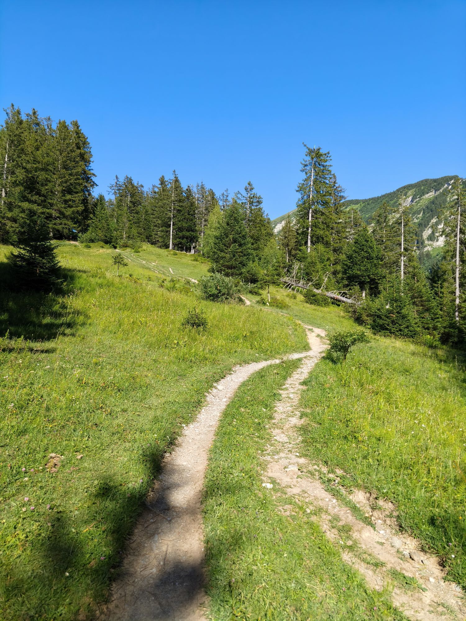
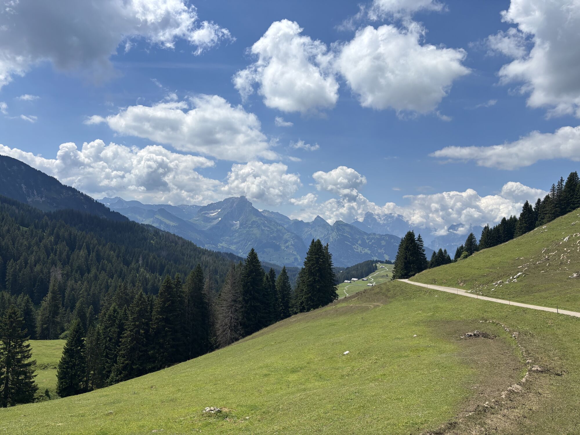
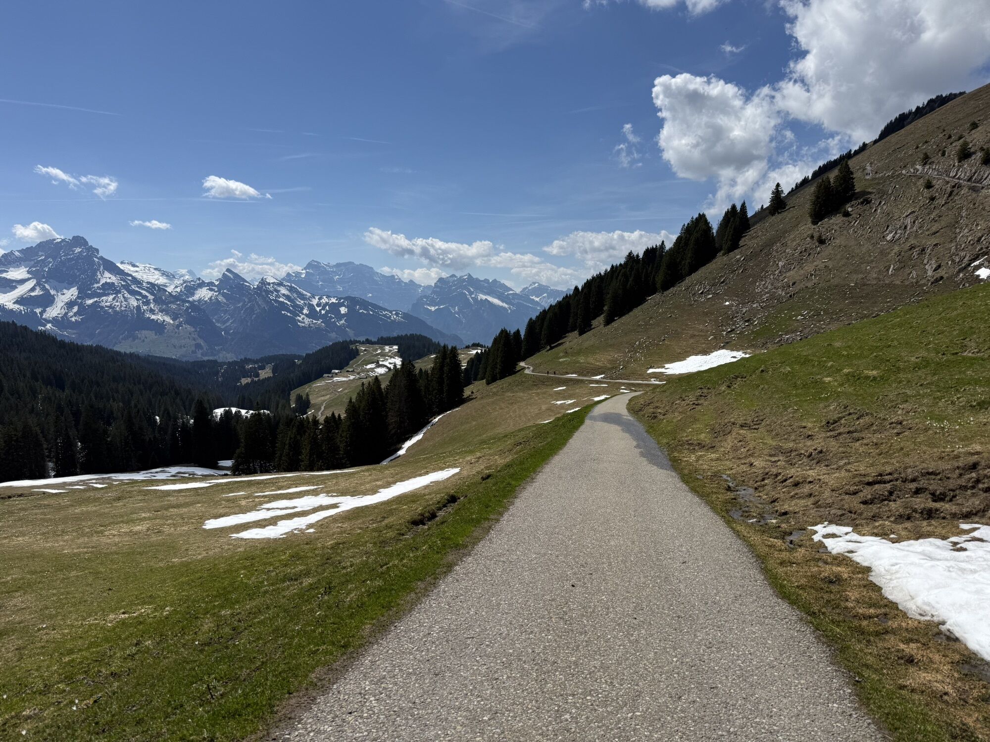
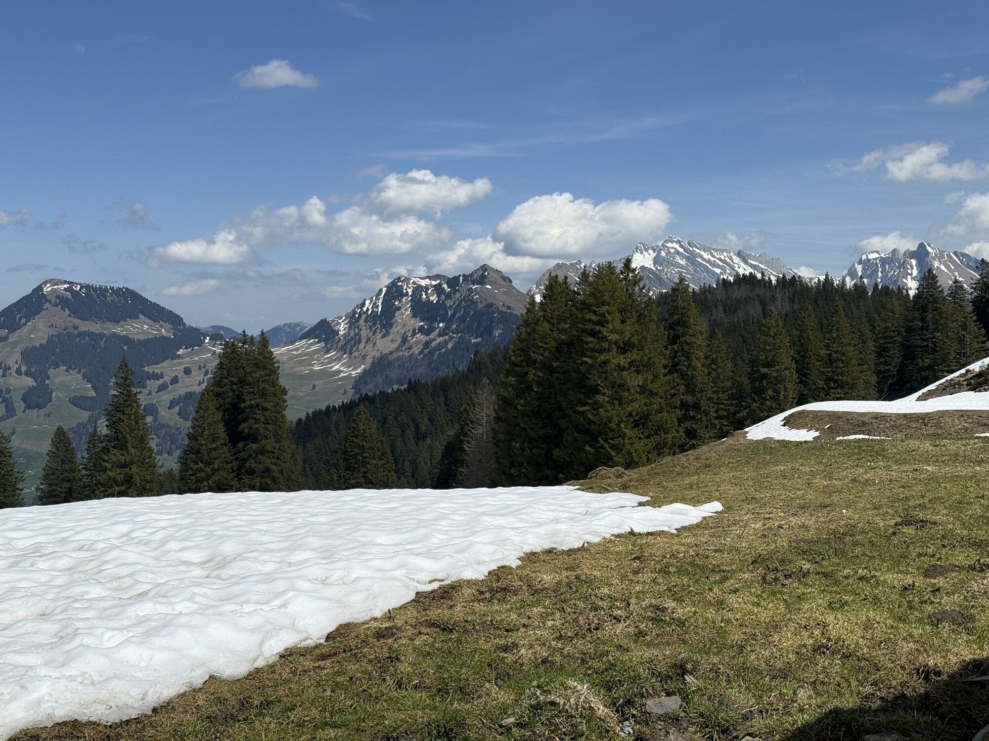
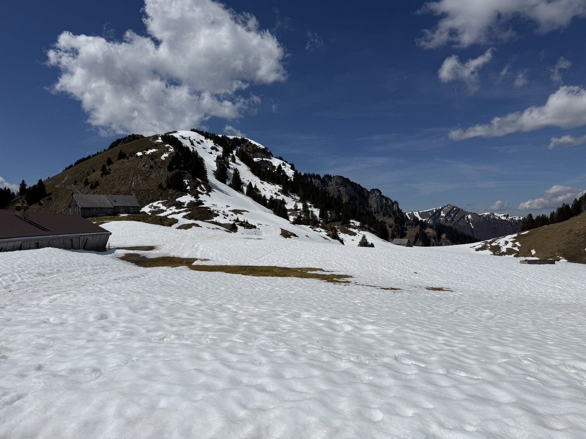
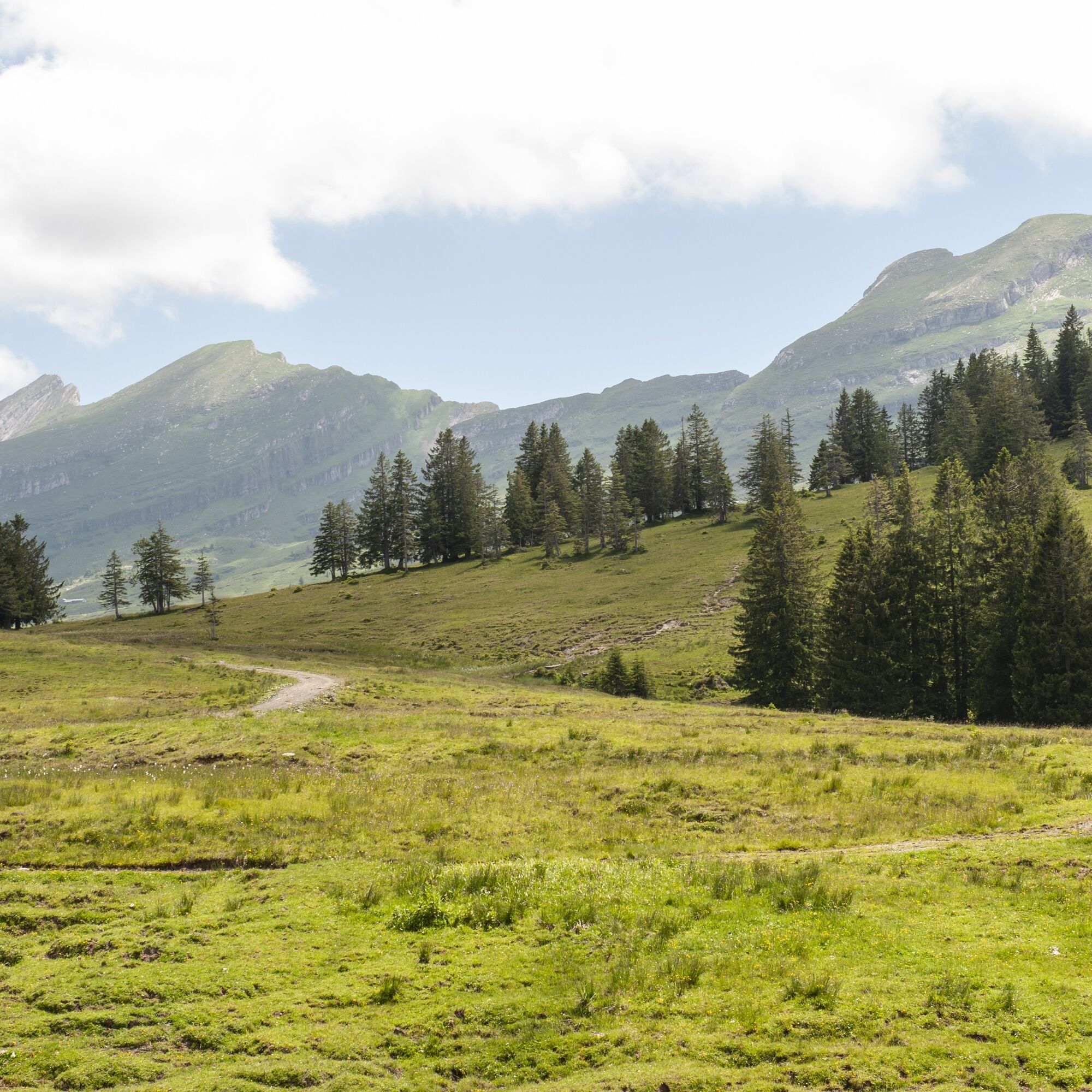
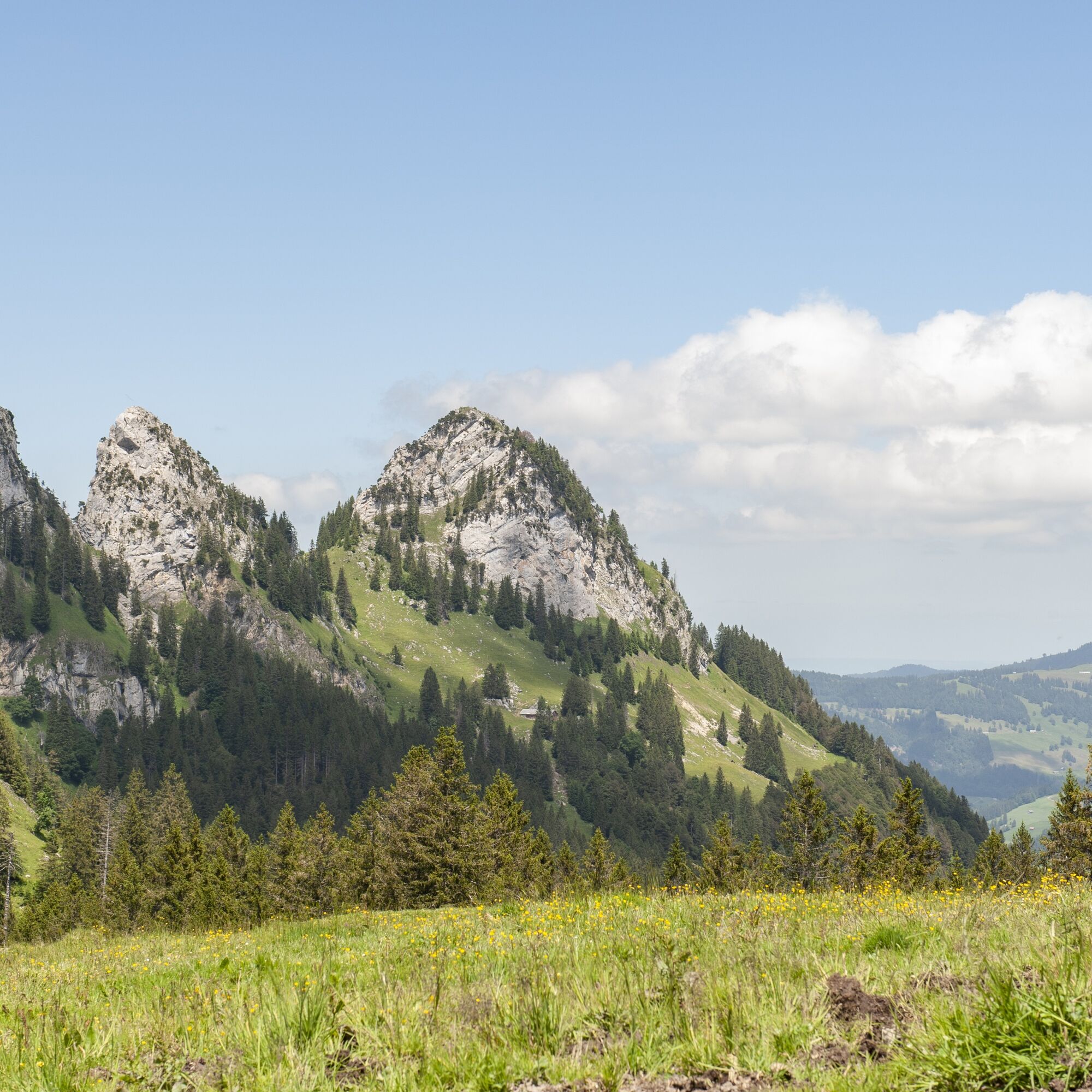
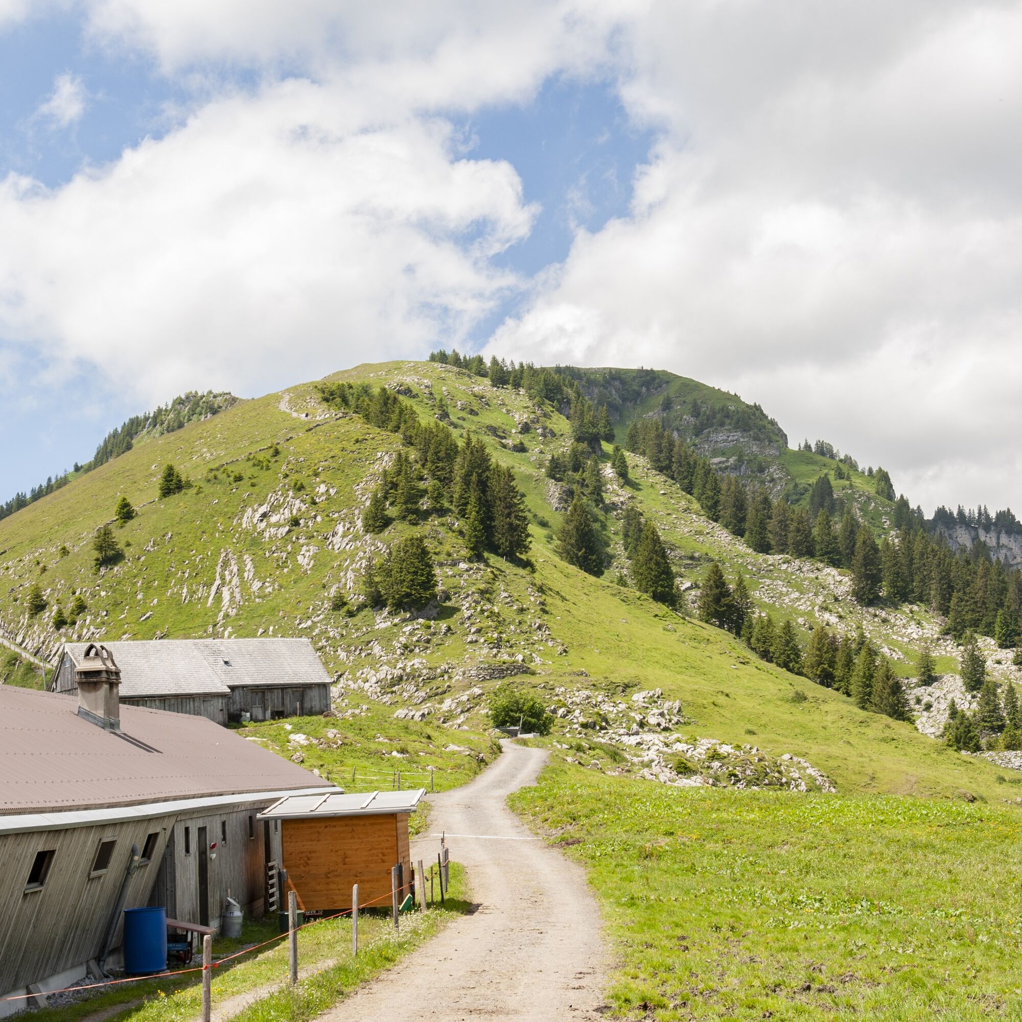
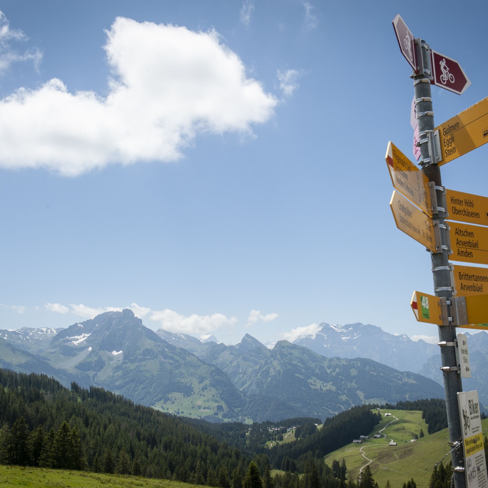
The route starts at the Alt. St. Johann post office, very close to the former monastery of the St. Gallen monks before they moved to Neu St. Johann. On the right side of the Thur, you first ride gently to warm up towards Starkenbach. At the Churfirsten restaurant, the tough ascent begins past the cable car on a partly bumpy concrete track up to Vorder Höhi. After these well over 600 meters of elevation gain, you have completed half of your daily quota! Recover on the descent to the village of Amden, which clings with its houses to the steep slope high above Lake Walensee. Here you have enough opportunity to satisfy your hunger and thirst. You guess it, after the magnificent descent follows another ascent, another test of your fitness. First, return on the same path over Hinterstein - Sell to Altschen. Here a rest break is called for, and while quenching your thirst, you can enjoy the entire panorama. To your left stands Gulmen, a well-known ski touring mountain; to the south, you can see the wide plains of the Gaster and See districts, and further back the Glarus region with its three-thousand-meter peaks Tödi and Glärnisch. To the east stand the majestic seven Churfirsten, and to the north, the Alpstein massif closes the circuit with Säntis and Schafberg. Nearby, you will also discover extensive moor areas, which regulate the water balance, allow many rare flowers to bloom, and are protected.
After this extensive rest, you need full concentration for the descent down into the Toggenburg. Braking and skillful handling of your bike are required!
Back down in the valley, the last four kilometers along the Thur remain to return to Alt St. Johann to the starting point.


Alt St. Johann - Starkenbach - Vorder Höhi - Altschen - Sell - Hinterstein - Amden - Hinterstein - Sell - Altschen - Vorder Höhi - Starkenbach - Alt St. Johann
Traffic-safe mountain bike with suspension, bike helmet, elbow and knee protectors if necessary, back and shin guards if needed, day bike backpack (approx. 20 liters) with rain cover, mountain bike shoes with ankle protection, weather-appropriate and durable clothing in layers (e.g., functional shirt, cycling jersey, bib shorts, arm and leg warmers), shatterproof bike glasses, full-finger gloves, pump, bike tools, sun and rain protection, provisions and drinking water, water bottle and suitable holder, first aid kit, pocket knife, mobile phone, mobile phone holder for the handlebar if needed, headlamp and reflectors if necessary, map material
The routes are only signposted in the direction recommended by bikers.
- From the greater Zurich area and central Switzerland: On the A3 at Reichenburg towards Rapperswil and then over the Ricken Pass to Wattwil. Then up the Toggenburg to Alt St. Johann.
- From eastern Switzerland: From St. Gallen to Herisau and further via Wasserfluh to Lichtensteig. Or from St. Gallen to Wil, take the Toggenburg exit. Follow the main road to Alt St. Johann.
- From southern Germany: Via Bregenz and St. Margrethen on the A13 to Haag and take the exit towards Toggenburg/Wildhaus. Or via Konstanz to Wil, then take the Toggenburg exit and follow the main road to Alt St. Johann.
By train to Nesslau-Neu St. Johann or Buchs SG, then by post bus to the stop Alt St. Johann, village. Exact information can be found at www.sbb.ch.
A large parking lot is available at the valley station of the Sellamatt cable car.
S1
Toggenburg Tourism
Main Street 104
CH-9658 Wildhaus
Tel: +41 (0)71 999 99 11
info@toggenburg.swiss
Alpine farms / mountain restaurants may not be open daily. Check before the route.
Pridobite vpogled
Vedno v živo na mestu z več kot 9.500 spletnimi kamerami. bergfex Kot uporabnik Pro si lahko zdaj ogledate ustrezne spletne kamere za številne izlete v aplikaciji izleti iz. Tako si lahko neposredno ogledate trenutne razmere.
Priljubljeni izleti v okolici
-
4.8
Walensee Riviera Weesen - Quinten
srednjaPohodništvo 10.2 km -
4.7
Riviera Lake Walen Walenstadt-Quinten
srednjaPohodništvo 10.4 km -
4.6
Weesen - Quinten - Walenstadt
težkoPohodništvo 20.6 km -
4.9
Säntis-Gipfeltour, Wasserauen / Appenzell Innerrhoden
težkoPohodništvo 21.1 km -
4.6
Säntis
srednjaGorski pohodništvo 17.5 km -
4.5
7-Peak Tour Flumserberg
težkoPohodništvo 15.0 km -
5.0
Schrina Alp and Cultural Trail
srednjaTematska pot 11.5 km -
4.5
4-Summit-Route Flumserberg
srednjaPohodništvo 8.65 km -
4.9
Fronalpstock GL
srednjaPohodništvo 7.84 km -
4.6
Schwägalp - Berggasthaus Tierwies - Girenspitz - Säntis
težkoPohodništvo 4.83 km

Pohodništvo in sledenje


Ne zamudite ponudb in navdiha za naslednje počitnice
Vaš e-poštni naslov je bil dodan na poštni seznam.





