







Mountain bike route Köbelisberg

Stopnja težavnosti: S1
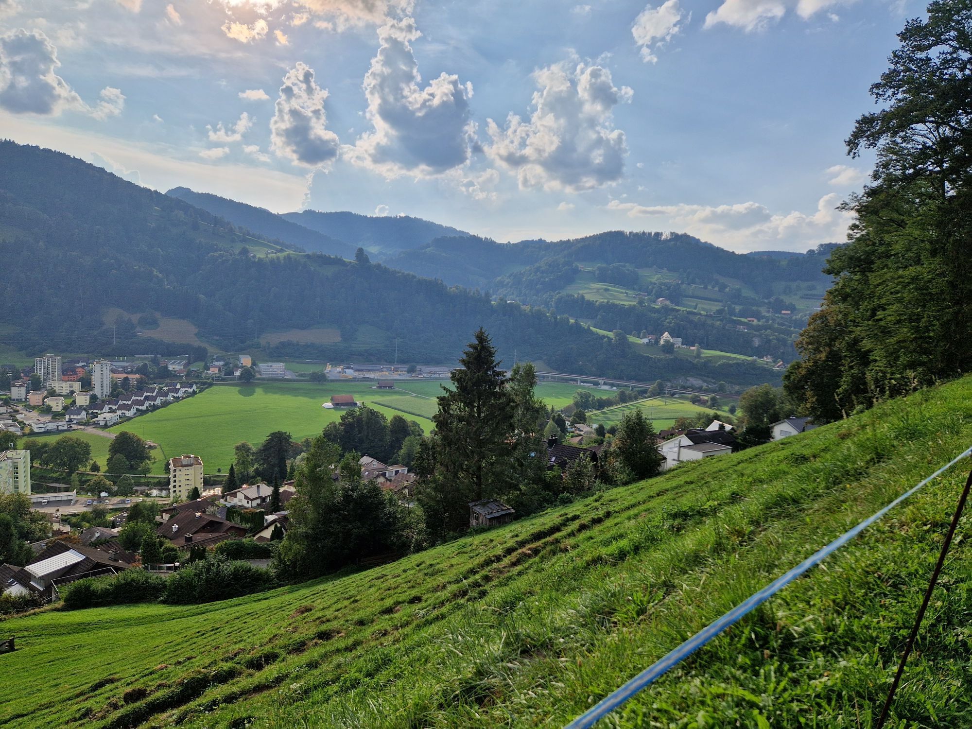
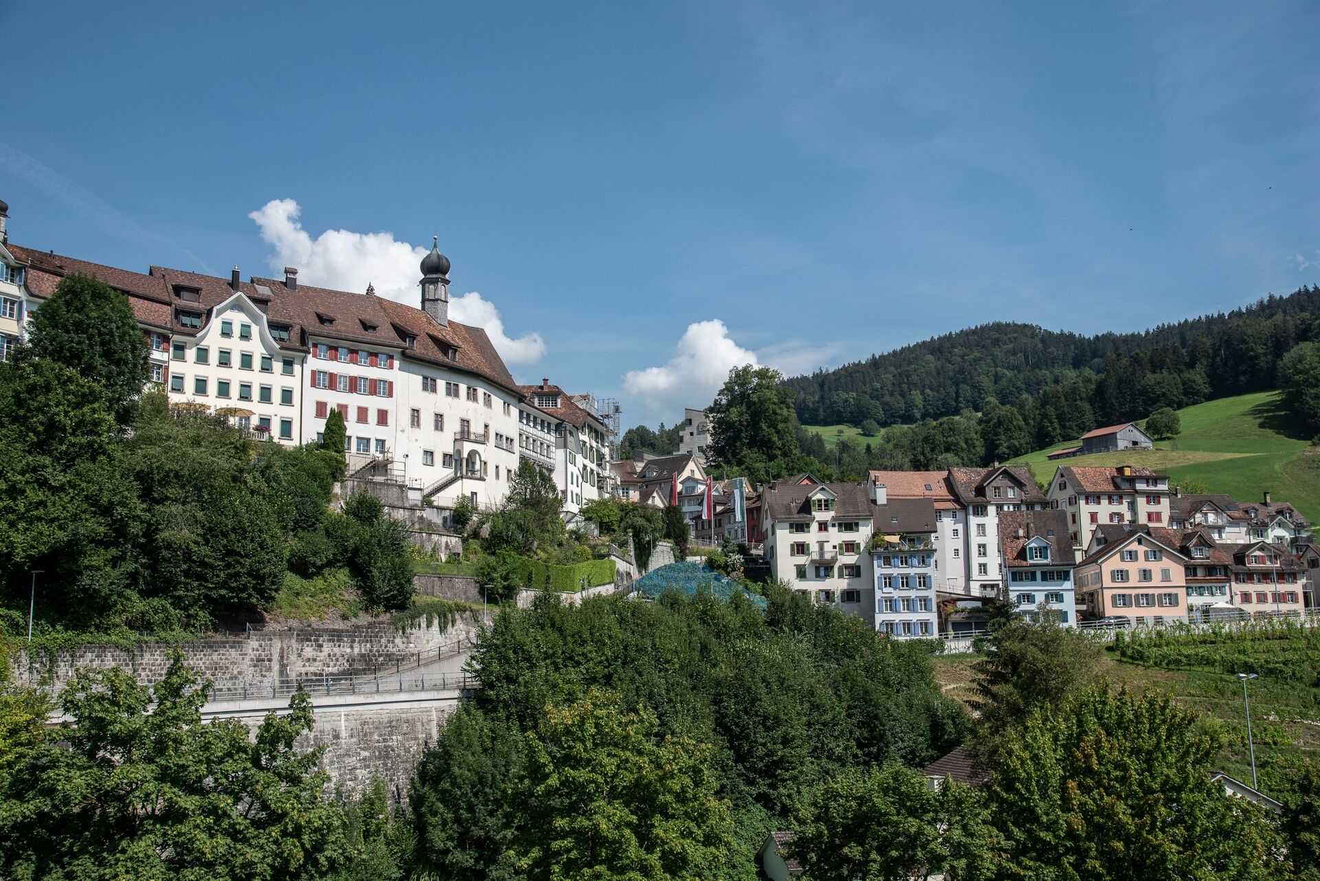
The starting point of this route already offers a real highlight. The old town of Lichtensteig exudes medieval charm with its alleys, arcades, and its stately «skyline».
The route begins at the Lichtensteig...
The starting point of this route already offers a real highlight. The old town of Lichtensteig exudes medieval charm with its alleys, arcades, and its stately «skyline».
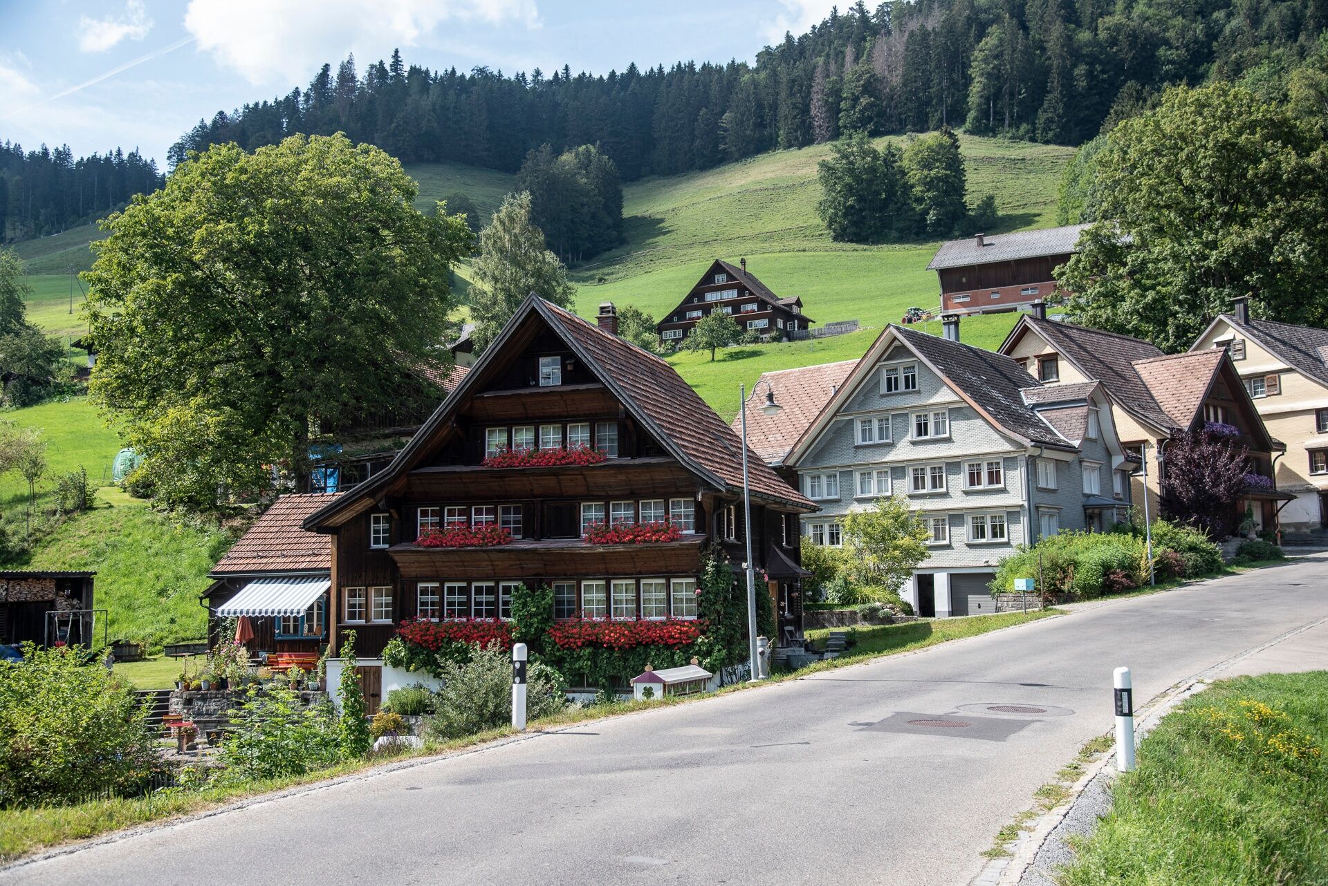
The route begins at the Lichtensteig train station and from there leads up a steadily ascending asphalt road to the picturesque village of Krinau. From this first turnaround point of the route, the path continues over a flat field path to Kengelbach. There begins an initially steep descent over a gravel path into the picturesque valley of the Dietfurterbach, lined with Nagelfluh rocks.
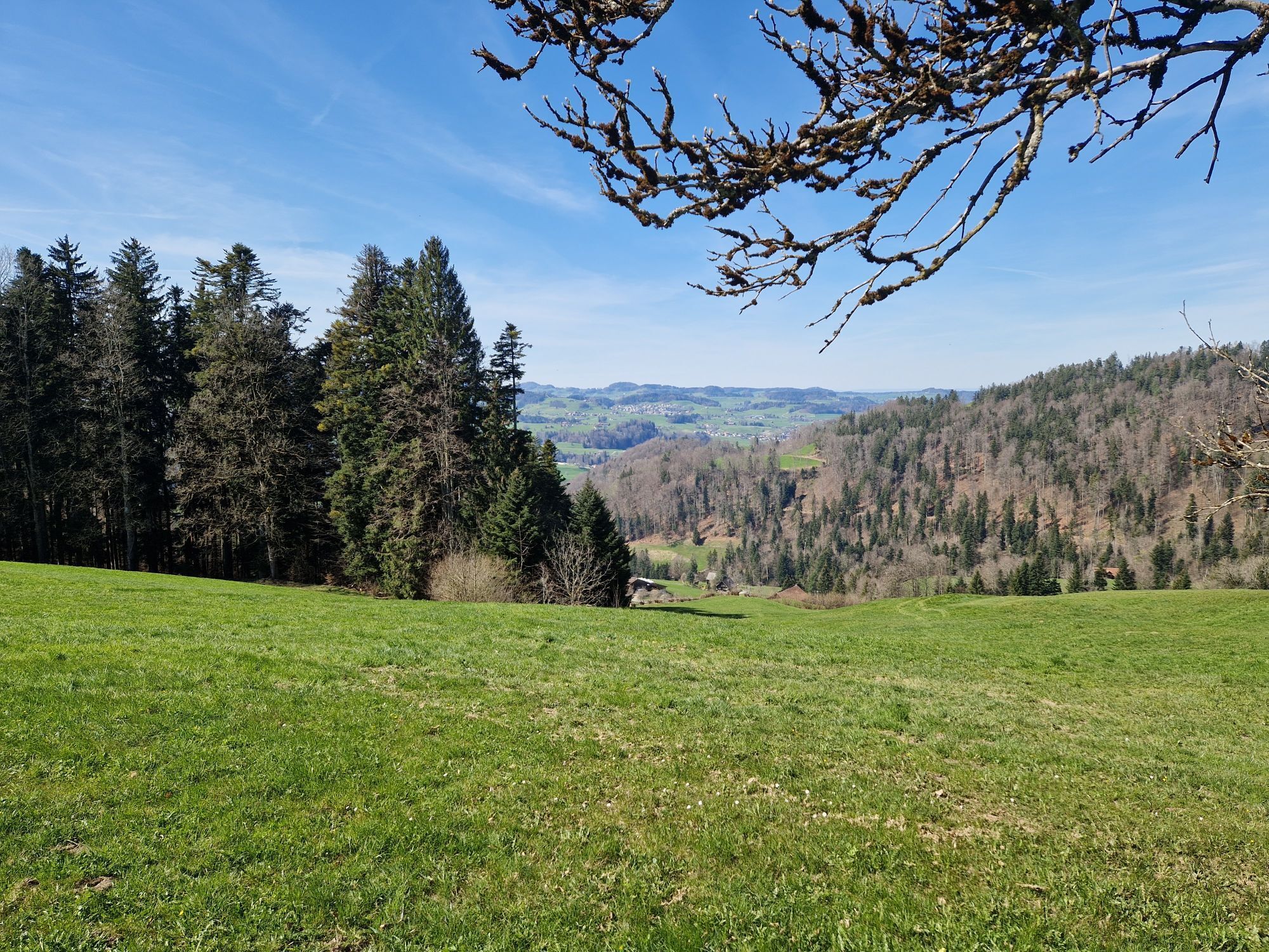
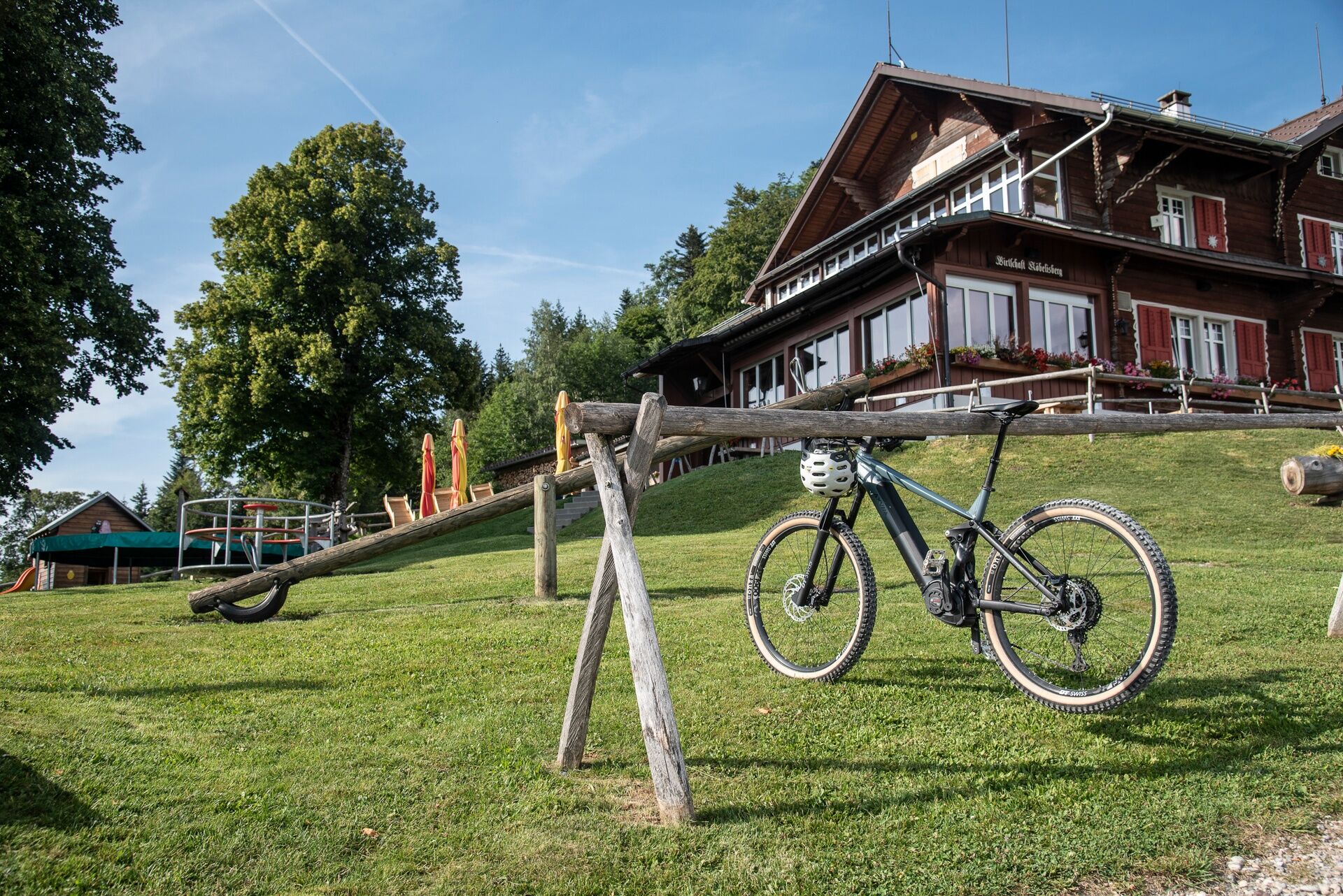
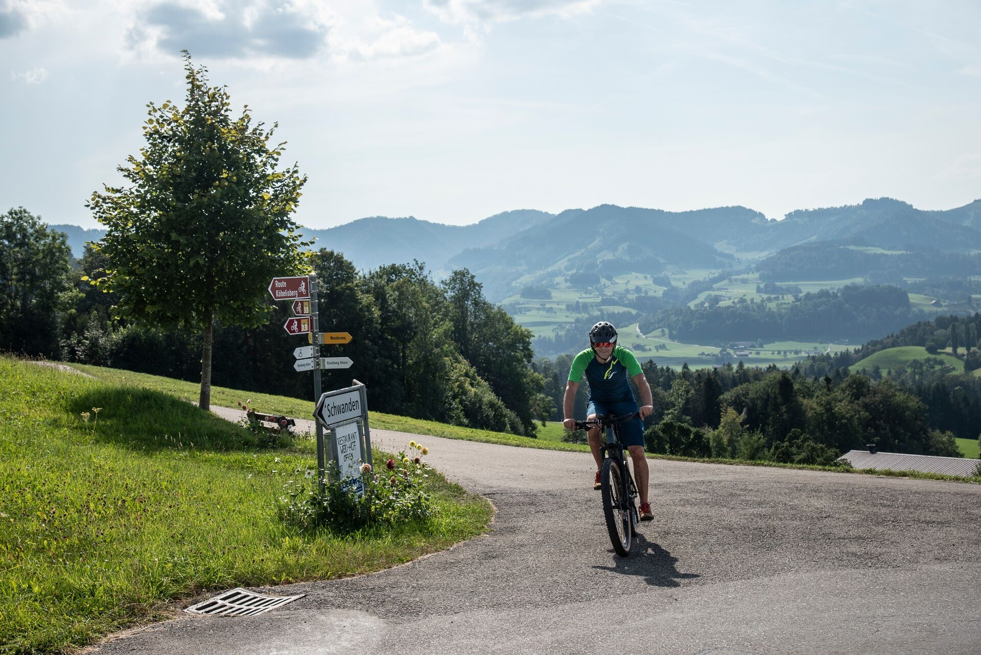
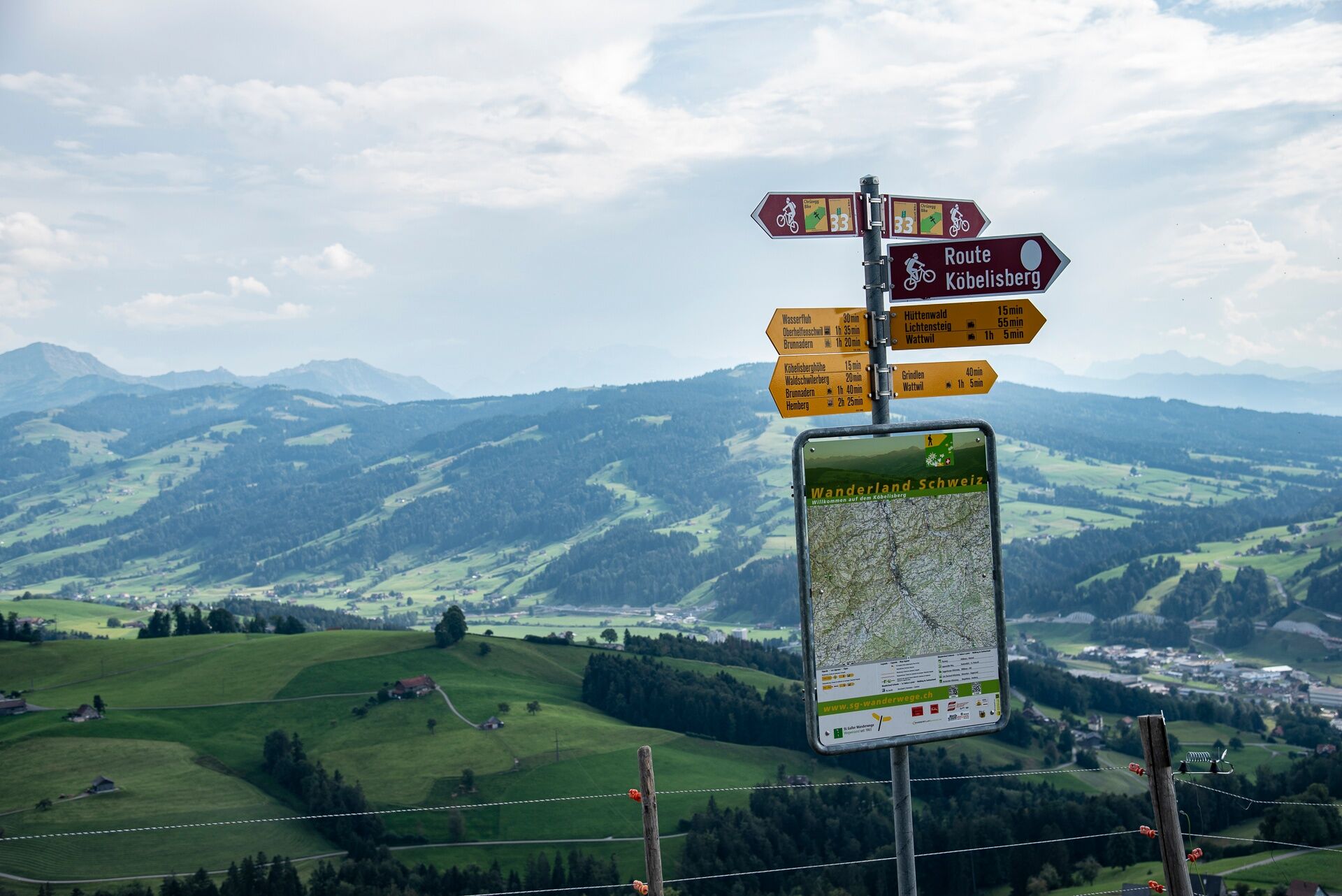
Arriving in the village of Dietfurt, the route takes on the opposite valley side via a steadily ascending paved road. The road is initially quite wide. From the village of Wigetshof, however, the route runs over narrow, paved alpine roads. There, beautiful views open up again and again over the landscape of Toggenburg. Not far from the water pass summit of Wasserfluh, the paving ends quite soon and the route continues over a gravel road through shady forests upwards. Soon, the highest point of the route is reached. There, the mountain inn Köbelisberg (closed Monday/Tuesday) offers, besides an e-bike charging station, great views of the Säntis massif up to the Churfirsten peaks.
After enjoying the views and a meal, the final descent of the route first leads about one kilometer downhill over the gravel road of the ascent. On a larger clearing, a small single trail then sharply branches off to the left. Here, fans of technical challenges get their full money's worth. In the first 50 meters of altitude, the trail demands with tight, steep hairpin bends as well as root and stone passages. Less experienced riders should dismount briefly here and push the bike downhill. After this key section, the trail then leads downhill again, rideable for all, through lush green deciduous forest. Thus, the outskirts of the village Wattwil are reached quite quickly. Once in the valley floor, you now follow the bike path along the Thur back to the starting point.
E-bike charging facility:
Mountain inn Köbelisberg
Note(s)
The routes are only marked in the direction recommended by bikers.
Alpine inns/mountain restaurants may not be open daily. Check before the tour.

Lichtensteig - Krinau - Kengelbach - Dietfurt - Oberhelfenschwil - Schwanden - Wasserfluh - Köbelisberg - Lichtensteig
Da
S1
Köbelisberg: Tel: +41 (0)71 988 15 01, www.koebelisberg.ch


Priljubljeni izleti v okolici
- 4.3
Schnebelhorn Rundwanderung
srednjaPohodništvo 11.9 km - 3.2
Winter hike at the Hulftegg
svetlobaZimsko pohodništvo 7.39 km - 4.5
Hulftenegg - Hörndli
svetlobaZimsko pohodništvo 6.98 km - 4.5
Hike from Ebnat-Kappel to Tanzboden
srednjaPohodništvo 14.5 km Hike from Hemberg to the Ofenloch
srednjaPohodništvo 10.9 km- 4.3
Steg-Schnebelhorn
srednjaPohodništvo 17.9 km - 4.5
Bauma - Chlihörnli - Hörnli - Steg
srednjaPohodništvo 10.3 km - 4.7
Hike at Hulftegg
svetlobaPohodništvo 7.42 km - 4.5
Hike from Ganterschwil to Bruedertöbeli
svetlobaPohodništvo 7.15 km - 4.0
Schönengrund - Hochhamm - Schönengrund
srednjaPohodništvo 9.51 km

Pohodništvo in sledenje


Ne zamudite ponudb in navdiha za naslednje počitnice
Vaš e-poštni naslov je bil dodan na poštni seznam.





