






Mountain bike route to Wolzenalp
Stopnja težavnosti: S1
After starting at Krummenau station, the route leads in a steady up and down on an asphalt road towards Neu St. Johann. At the exit of Nesslau, the first climb begins. Shortly after, the asphalt ends and...
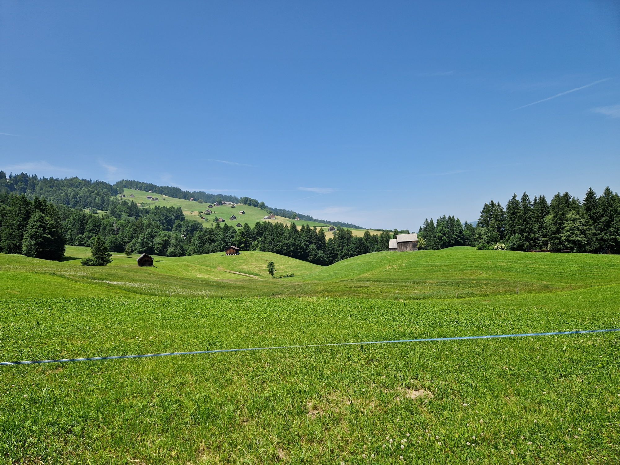
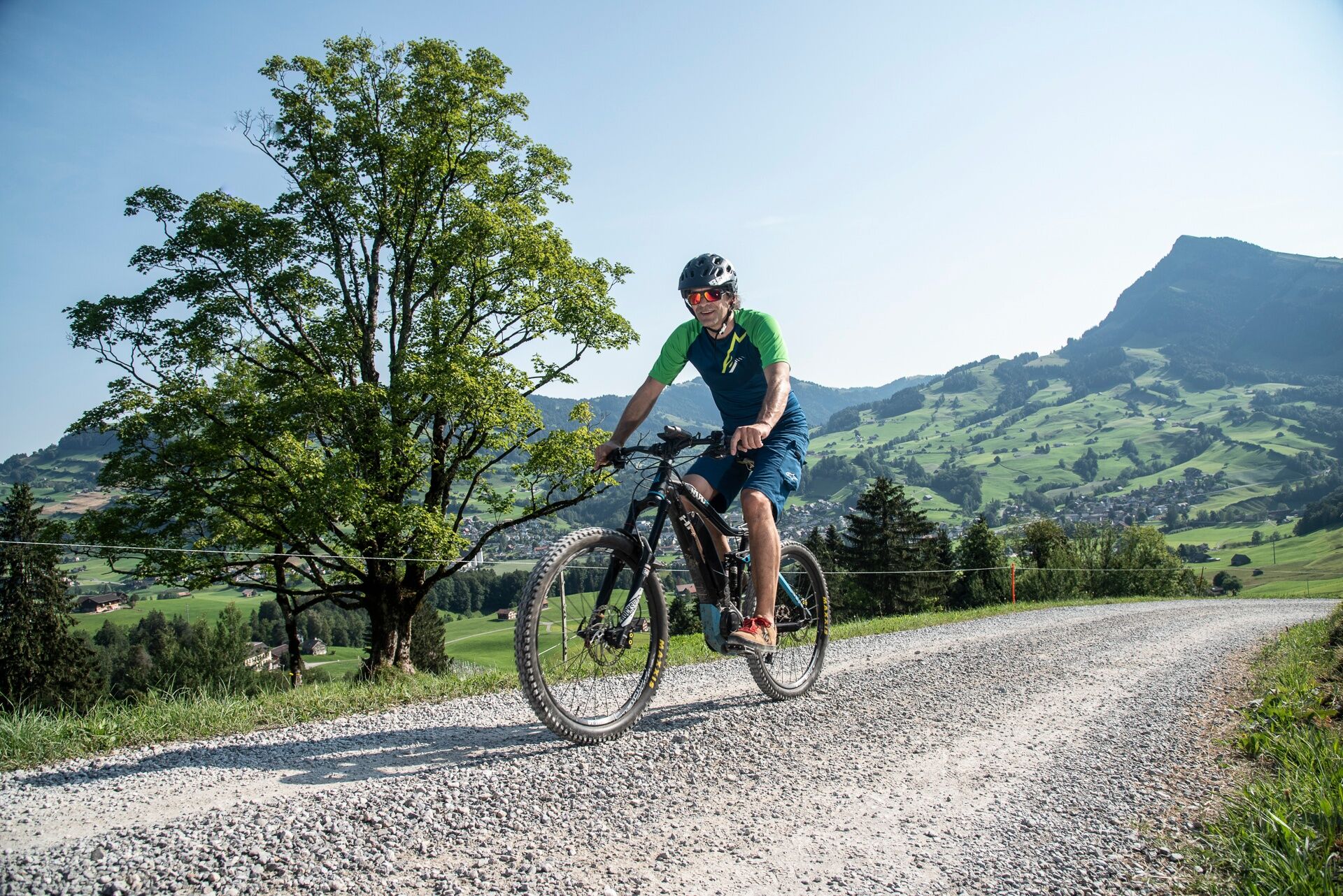
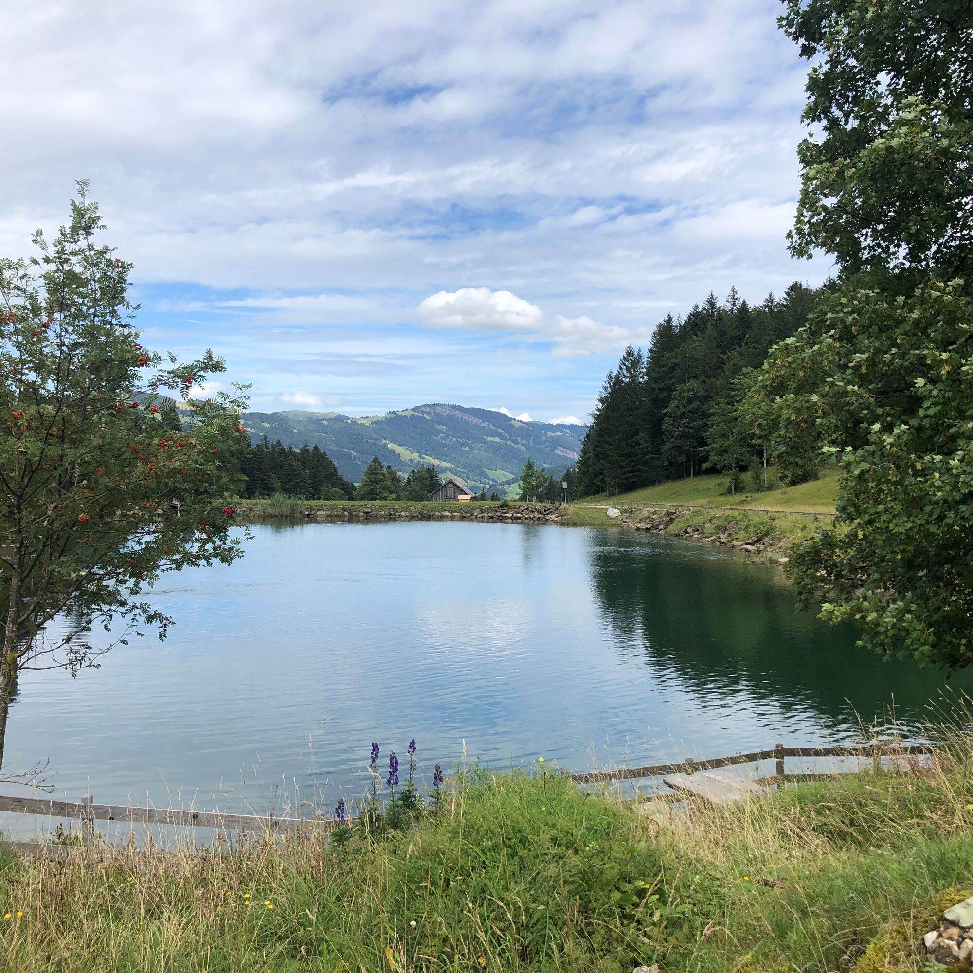
After starting at Krummenau station, the route leads in a steady up and down on an asphalt road towards Neu St. Johann. At the exit of Nesslau, the first climb begins. Shortly after, the asphalt ends and you gain altitude on an initially steep, well-compacted alpine path. At the forest boundary, the slope eases off a bit. This leaves enough time to enjoy the landscape of the Ijental and the views of the peak of Speermürli (1746 m). At the small reservoir, the route turns right and leads on a now somewhat steeper gravel road through the shady forest upwards. After 60 meters of altitude, this last mountain challenge is also mastered and the first high point of the tour is reached.
On an open alpine meadow, the route now turns right onto an initially indistinct singletrail, which goes slightly downhill over a cattle pasture towards the forest. After overcoming a fence, the descent begins. This is neither particularly steep nor narrow nor technically challenging. However, it offers a short but quite eroded and therefore rocky section. Here an eye for the right line choice is required. Soon this first key section is also mastered, and the tour leads down on an asphalted alpine road.
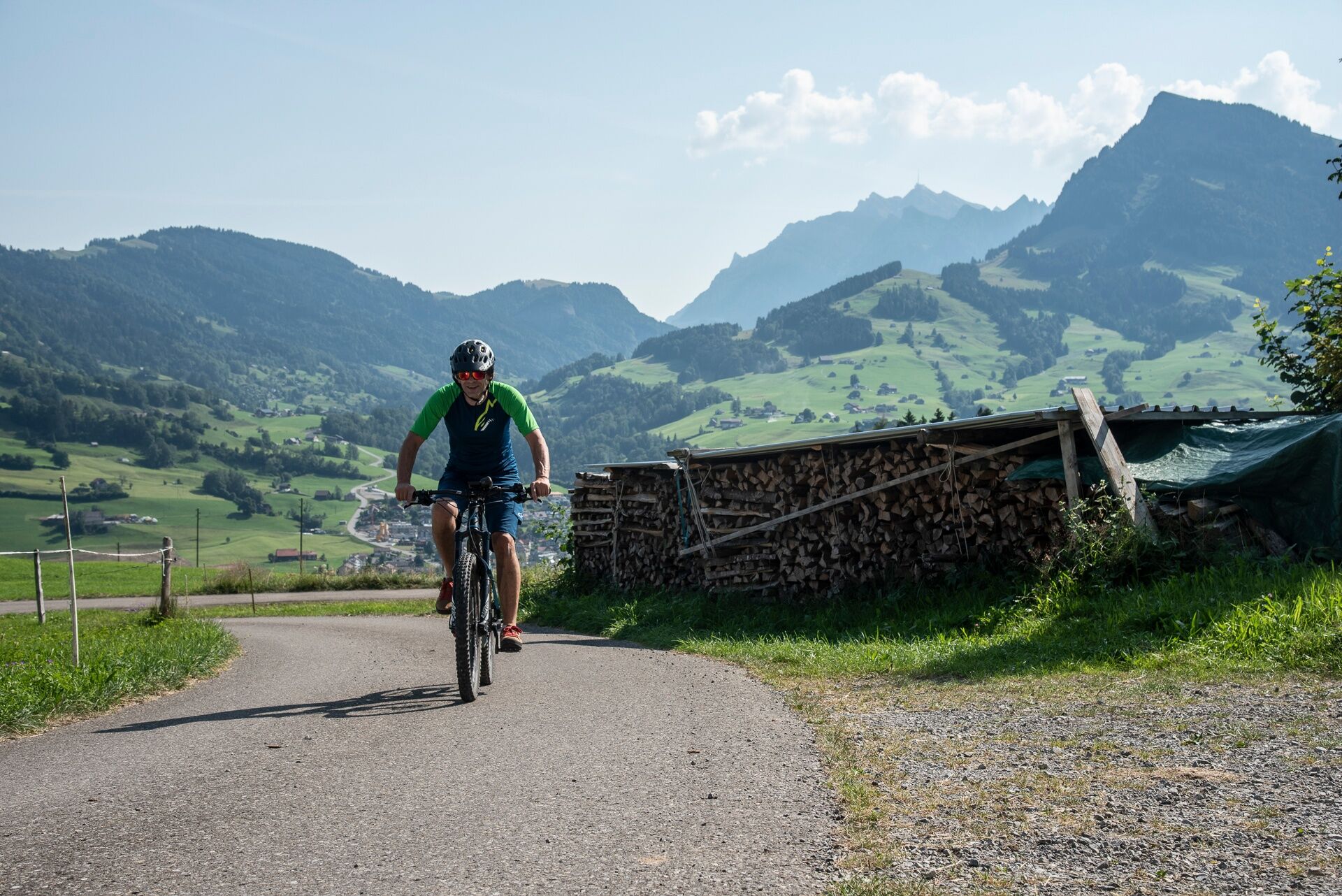
Shortly before the small village of Bühl, the second climb of the day begins. Still on asphalt, you climb moderately over 240 meters of altitude. Only shortly before the mountain station of the Krümmenschwil-Rietbach chairlift does the tarmac end. In a few minutes, the highest point of the tour is reached via a wide, gravelled alpine road. Here the mountain restaurant Wolzenalp (e-bike charging available) invites you to a cozy stop.
As a finale, the tour now offers a fast, technically undemanding descent on a very rewarding singletrail. This leads with some bends through a shady and steep mountain forest down. Here again, some short, more demanding sections await, which can be easily tackled with the right line choice. After a few minutes, this difficulty is also overcome and the tour leads on asphalt through the Steintal valley downwards. At its exit, only a short counter climb waits, then after a descent on the asphalt road the end of the tour is reached.
E-bike charging opportunity:
Mountain restaurant Wolzenalp
Note(s)
The route is currently only partially rideable. The section from Rietbach to Steintal is only partially passable with a bike due to storm damage.
The routes are only signposted in the direction recommended by bikers.
Alpine farms / mountain restaurants may not be open daily. Inquire before the tour.
Wolzenalp: Tel: +41 (0)71 994 11 81
Speer, Steintal: Tel: +41 (0)71 993 18 13


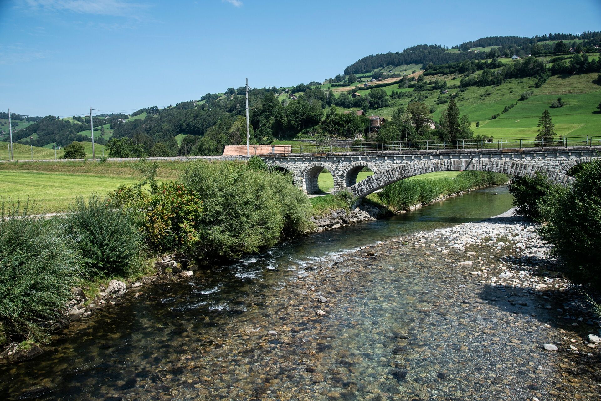
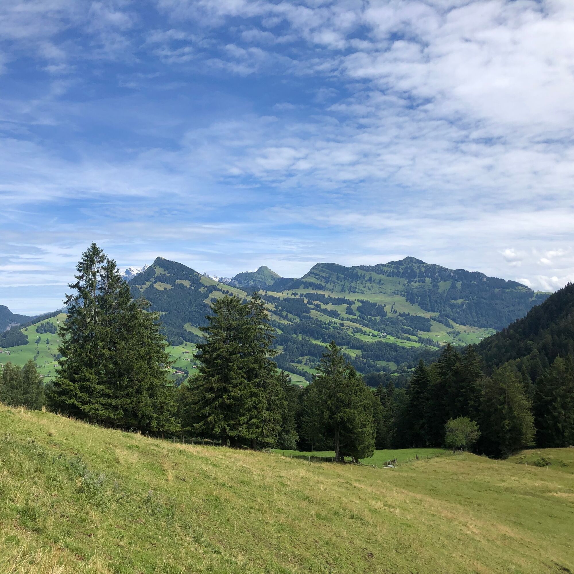
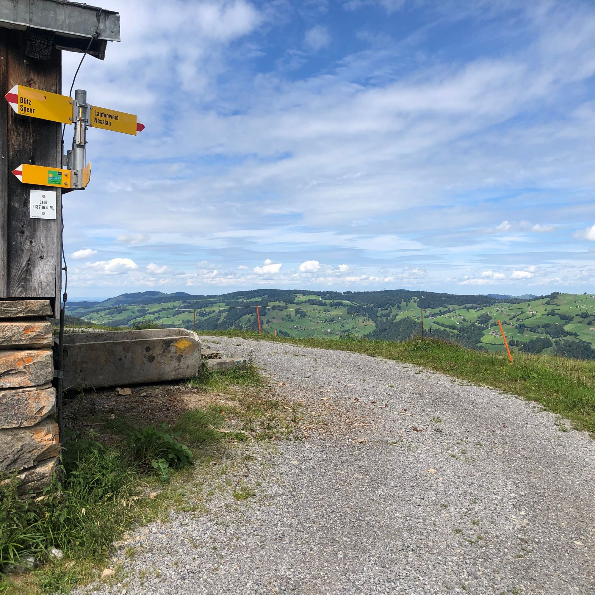
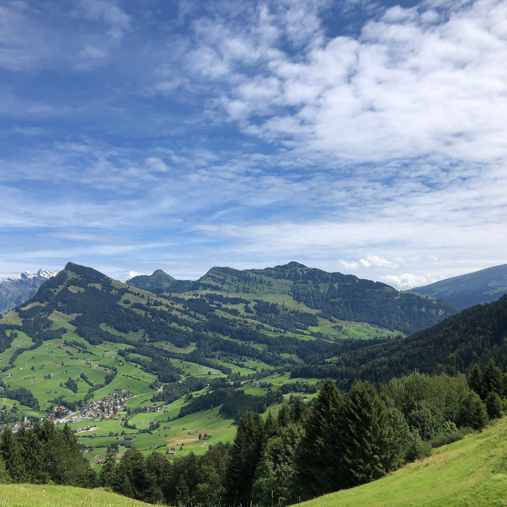

Krummenau - Thurrain - Bühlerbrücke - Nesslau - Ijental - Schönenboden - Eggli - Oberfeld Bühl - Wolzenalp - Zuu - Steintal - Schorüti - Blomberg - Krummenau
Roadworthy mountain bike with suspension, bicycle helmet, optionally elbow and knee protectors, optionally back and shin guards, day cycling backpack (approx. 20 liters) with rain cover, mountain bike shoes with ankle protection, weather-appropriate and durable clothing in a layering system (e.g. functional shirt, cycling jersey, bib shorts, arm and leg warmers), shatterproof cycling glasses, full-finger gloves, pump, bike tools, sun and rain protection, provisions and drinking water, water bottle and suitable holder, first aid kit, pocket knife, mobile phone, optionally mobile holder for the handlebar, optionally headlamp and reflectors, map material
The route is signposted.
From the Greater Zurich area and Central Switzerland:
Take the A3 at Reichenburg towards Rapperswil and then over the Ricken Pass to Wattwil. Then go up Toggenburg to Krummenau.
From Eastern Switzerland:
From St. Gallen to Herisau and further over Wasserfluh to Lichtensteig. Or drive from St. Gallen to Wil, take the Toggenburg exit. Follow the main road to Krummenau.
From southern Germany:
Via Bregenz and St. Margrethen on the A13 to Haag and take the exit towards Toggenburg/Wildhaus. Or via Konstanz to Wil, then take the Toggenburg exit and follow the main road to Krummenau.
By train or bus to Krummenau. The current timetable can be found at www.sbb.ch.
Free parking is available at Krummenau station.
S1
After the refreshment at the mountain restaurant Wolzenalp, a walk along the moor path into the adjacent raised bog with its rich flora is worthwhile.
 Pridobite vpogled
Vedno v živo na mestu z več kot 9.500 spletnimi kamerami. bergfex Kot uporabnik Pro si lahko zdaj ogledate ustrezne spletne kamere za številne izlete v aplikaciji izleti iz. Tako si lahko neposredno ogledate trenutne razmere.
Pridobite vpogled
Vedno v živo na mestu z več kot 9.500 spletnimi kamerami. bergfex Kot uporabnik Pro si lahko zdaj ogledate ustrezne spletne kamere za številne izlete v aplikaciji izleti iz. Tako si lahko neposredno ogledate trenutne razmere.
Priljubljeni izleti v okolici
-
4.7
Walensee Riviera Weesen - Quinten
srednjaPohodništvo 10.2 km -
4.7
Riviera Lake Walen Walenstadt-Quinten
srednjaPohodništvo 10.4 km -
4.6
Schwägalp - Berggasthaus Tierwies - Girenspitz - Säntis
težkoPohodništvo 4.83 km -
5.0
Schrina Alp and Cultural Trail
srednjaTematska pot 11.5 km -
4.7
Quinten-Trail 453
srednjaTek 8.97 km -
4.8
Mountain route over Rotsteinpass to Säntis
težkoPohodništvo 8.53 km -
4.5
Amden - Speer (Rundkurs)
svetlobaPohodništvo 17.6 km -
4.6
Säntis
srednjaGorski pohodništvo 17.5 km -
3.3
Winter hiking Wildhaus-Gamplüt circular route
srednjaZimsko pohodništvo 7.73 km -
3.7
Winter hike on the Rosenboden panoramic circular route
svetlobaZimsko pohodništvo 2.95 km

Pohodništvo in sledenje


Ne zamudite ponudb in navdiha za naslednje počitnice
Vaš e-poštni naslov je bil dodan na poštni seznam.





