
Woad Path
svetloba
Pridobite to turo v svoj mobilni telefon
Woad Path
svetloba
Pohodništvo
6.84
km
Skenirajte kodo QR in začnite navigacijo v aplikaciji bergfex.


Pohodništvo in sledenje





Woad Path
svetloba
Razdalja
6.84
km
Trajanje
02:30
h
Ascent
60
hm
Morska gladina
275 -
331
m
Prenos skladbe
Woad Path
svetloba
Pohodništvo
6.84
km
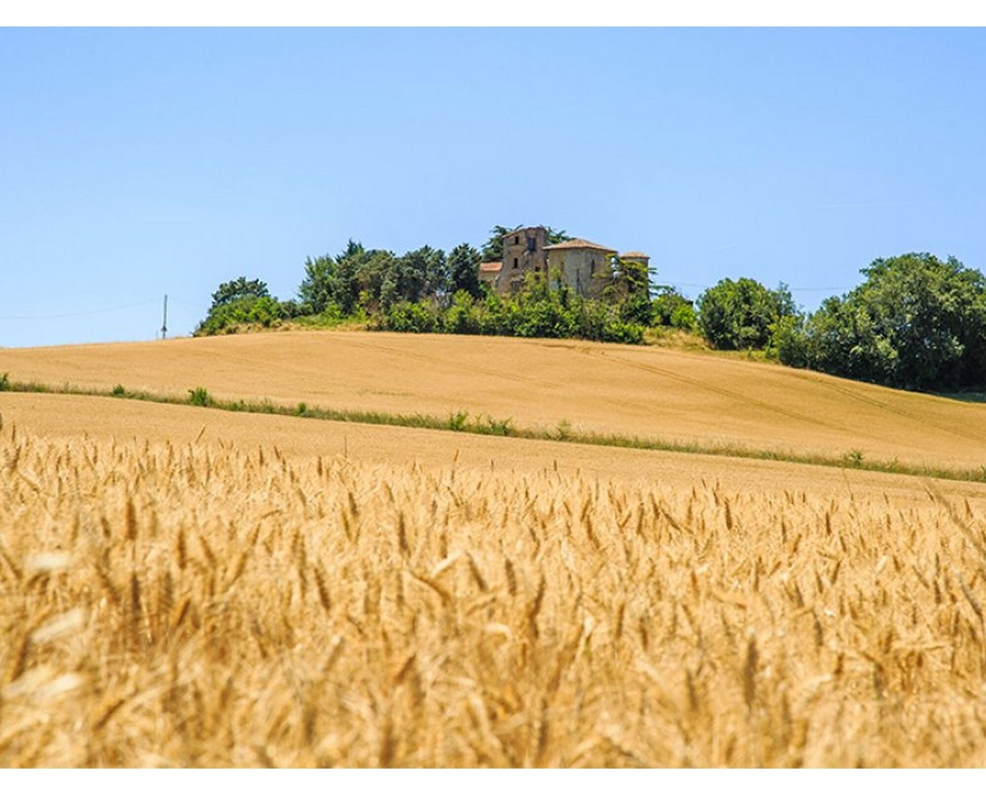
Woad, also called dyer's woad or Isatis tinctoria, is a plant with yellow flowers like rapeseed and leaves with an incredible ability: they produce blue dye. Once harvested and dried, the leaves are formed...
Opis
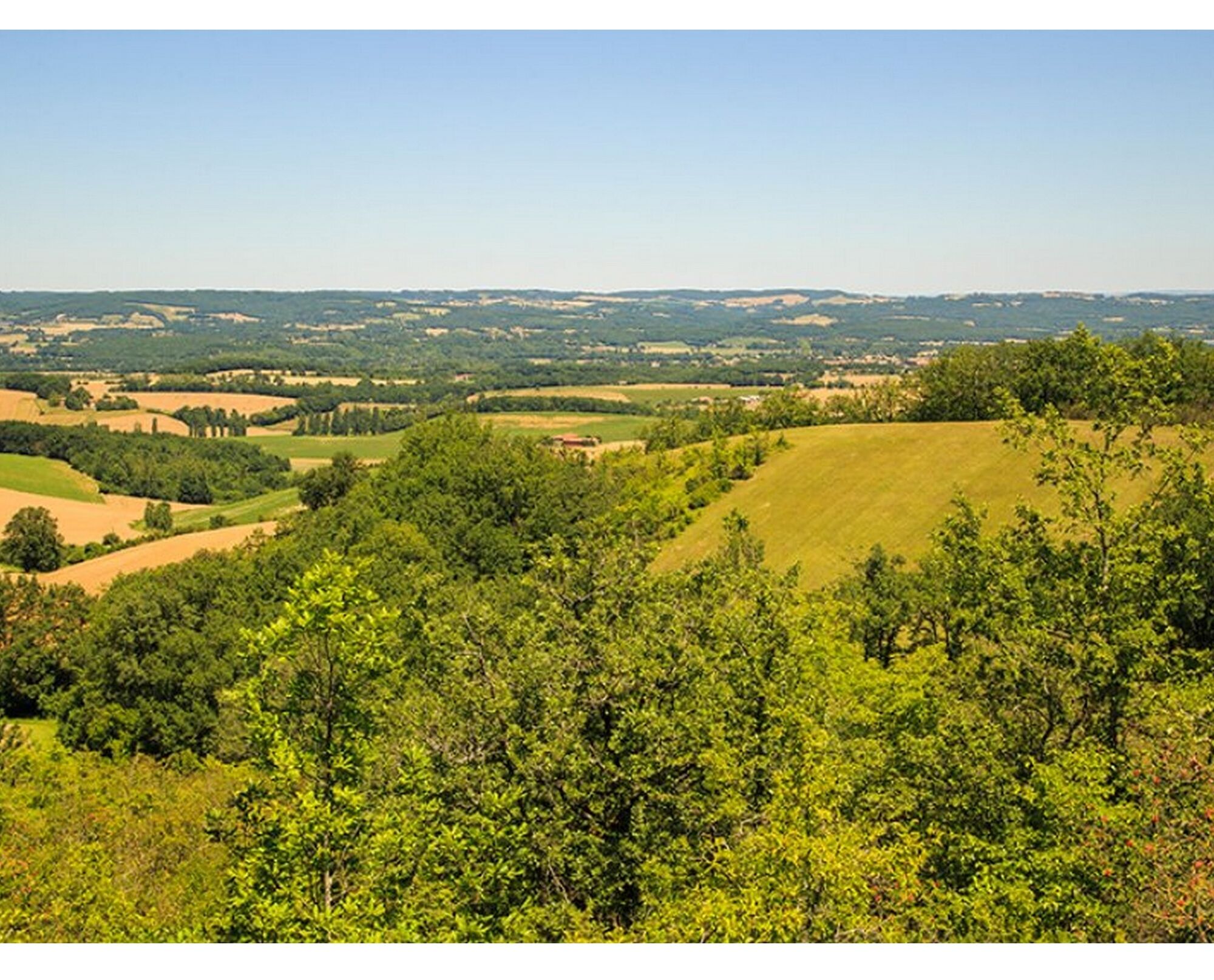
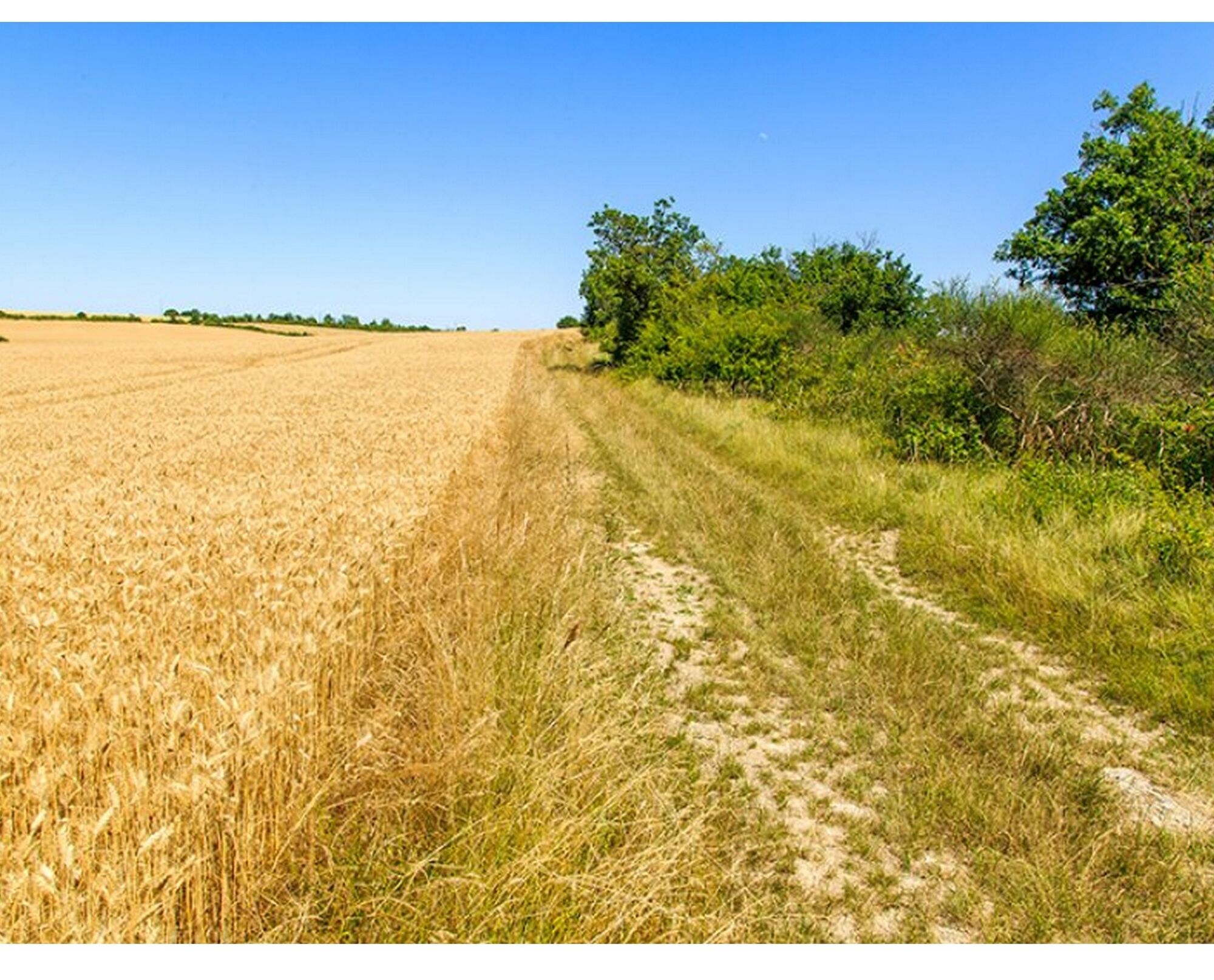
Woad, also called dyer's woad or Isatis tinctoria, is a plant with yellow flowers like rapeseed and leaves with an incredible ability: they produce blue dye. Once harvested and dried, the leaves are formed into a ball: the cocagne, which gave its name to our beautiful region. Woad was cultivated within a triangle
Toulouse– Albi – Castelnaudary. Woad blue was the only dye in the medieval era to withstand repeated washings. This made it commercially successful and brought wealth to the region.
Classified as French Intangible Cultural Heritage, the expertise of woad dyeing in Pays de Cocagne remains alive. You can meet artisans and try dyeing in a discovery workshop (information on the website www.lepaysdecocagne.fr).
Toulouse– Albi – Castelnaudary. Woad blue was the only dye in the medieval era to withstand repeated washings. This made it commercially successful and brought wealth to the region.
Classified as French Intangible Cultural Heritage, the expertise of woad dyeing in Pays de Cocagne remains alive. You can meet artisans and try dyeing in a discovery workshop (information on the website www.lepaysdecocagne.fr).


Informacije o poti
Pot
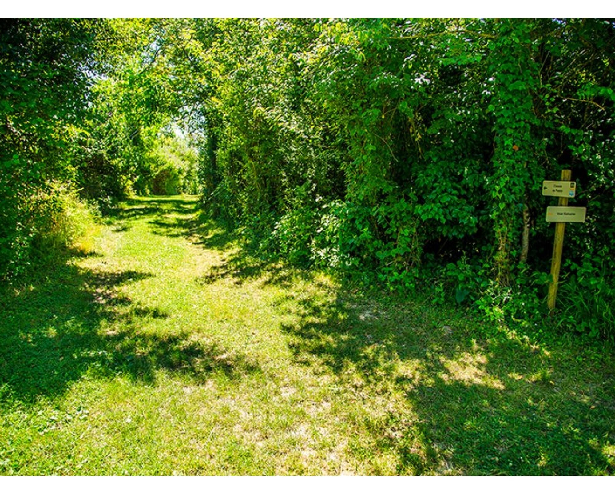
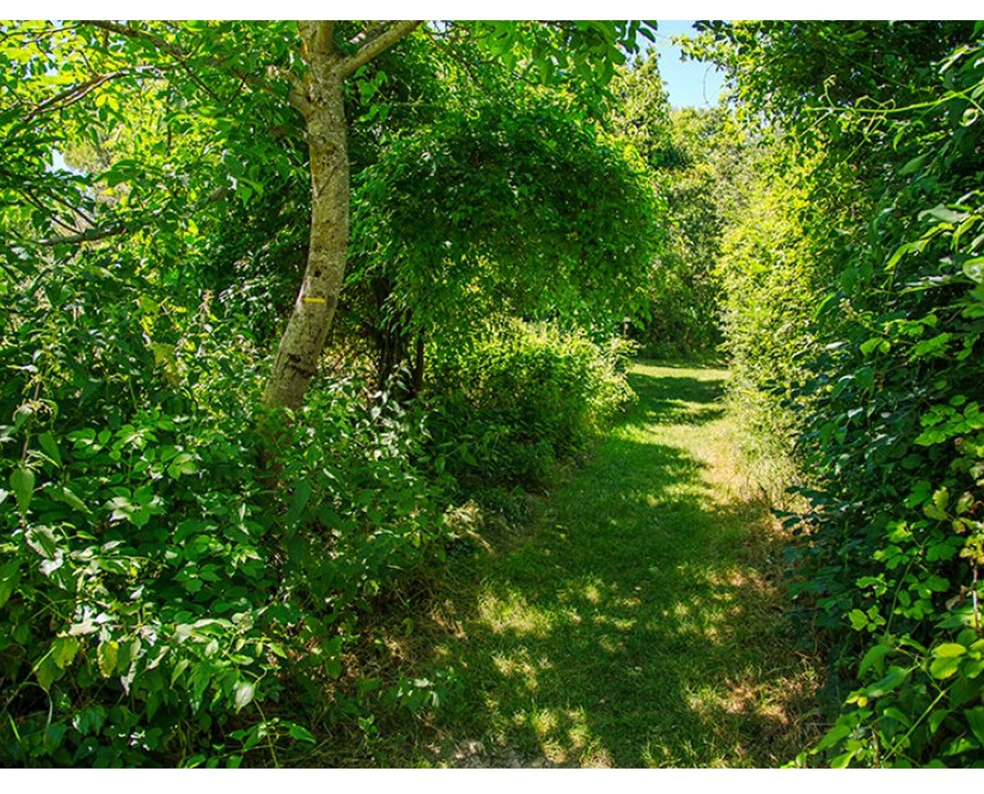
Yellow waymarking
Oprema
Clothing suitable for the season and conditions (cold, hot, humid…)
Hiking shoes suitable for the terrain (even for children!)
Hiking poles (useful for stability and to relieve joints)
Mobile phone and spare battery
Varnostna navodila
Before setting off:
Check the general and local weather ensuring there is no precipitation Get information about the approach walk, height of the route, duration, possible escape routes (IGN map, GPS, topo guide, etc…) Assess possible risks by consulting mountain professionals, refuges, lodges Inform a close person of your objective and contact them in case of any change: departure and return times, number of participants with each telephone number, vehicle(s), parking Avoid setting off alone, use equipment suitable for the activity, adjusted and in good condition, headlamp, complete first aid kit, survival blanket, etc.In case of emergency, call 112 (European emergency number)
Informacije o prihodu
Parkirišče
Parking near the starting point
Dodatne informacije in nasveti
Dodatne informacije
APIDAE Tourism data updated on 18/04/2023 by "Tourism Office of Lautrecois - Pays d'Agout".
An error on this sheet? Write to the owner quoting these references:
Sheet name: Chemin du Pastel | Sheet ID: 4593714 | URL (link) of this Outdooractive page.
An error on this sheet? Write to the owner quoting these references:
Sheet name: Chemin du Pastel | Sheet ID: 4593714 | URL (link) of this Outdooractive page.
Še ni pregledov
Priljubljeni izleti v okolici
-
5.0
Three Lakes Trail - Sentier des trois lacs
svetlobaPohodništvo 8.22 km -
Le circuit du pas du Loup
svetlobaPohodništvo 9.89 km -
La voie romaine
težkoPohodništvo 28.5 km -
Sentier de la retenue de Briax
srednjaPohodništvo 9.53 km -
Oenorando® La Birado
svetlobaPohodništvo 7.76 km -
Le chemin de l'eau
svetlobaPohodništvo 9.16 km -
Le circuit des Devèzes
svetlobaPohodništvo 9.99 km -
Le circuit boisé de la Capelle
težkoPohodništvo 18.6 km -
5.0
Sentier des crêtes
srednjaPohodništvo 11.3 km -
Le sentier de Saint-Sébastien
srednjaPohodništvo 12.3 km
Pohodništvo in sledenje

Zaradi več kot 550.000 predlogov izletov, podrobnih zemljevidov in intuitivnega načrtovanja poti je aplikacija obvezna oprema za vse ljubitelje narave.

Ne zamudite ponudb in navdiha za naslednje počitnice
Naročite se na novice
Napaka
Zgodila se je napaka. Prosimo, poskusite znova.
Zahvaljujemo se vam za prijavo
Vaš e-poštni naslov je bil dodan na poštni seznam.
Izleti po vsej Evropi
Avstrija
Švica
Nemčija
Italija
Slovenija
Francija
Nizozemska
Belgija
Poljska
Lihtenštajn
Češka
Slovaška
Španija
Chorvátsko
Bosna in Hercegovina
Luksemburg
Andora
පෘතුගාලය
අයිස්ලන්තය
එක්සත් රාජධානිය
අයර්ලන්තය
ග්රීසිය
ඇල්බේනියාව
North Macedonia
Malta
Norway
Montenegro
Moldova
කොසෝවො
හන්ගේරියානු සමුහාණ්ඩුව
San Marino
රුමේනියාව
එස්ටෝනියා
ලැට්වියාව
බෙලාරස්
සයිප්රස්
Lithuania
Serbia
බල්ගේරියාව
Monaco
ඩෙන්මාර්කය
Sweden
ෆින්ලන්තය





