


Three Lakes Trail - Sentier des trois lacs
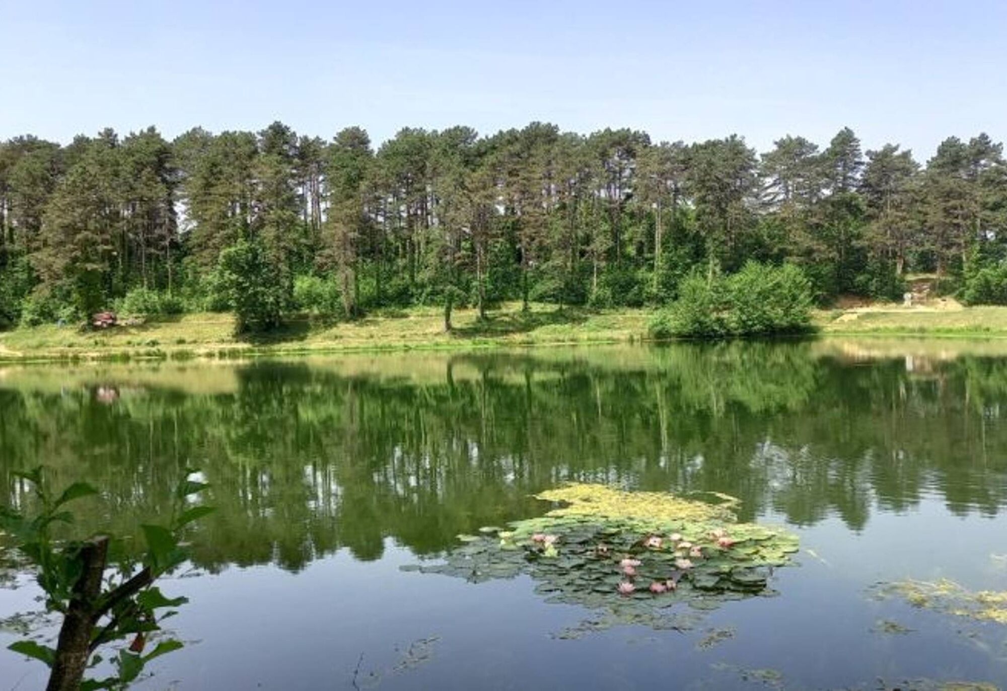
Lake Nabeillou, nestled in its green setting, is a delightful recreational area recently developed. In addition to hiking, other activities can be enjoyed here: BMX track, bike-cross, mountain biking,...
Swimming is prohibited.
1. From the parking lot, follow the gravel path up to a farm. Pass in front of the farm, then turn right into the housing development. Continue uphill for about 200 meters, then turn left towards the Notre-Dame-des-Vignes chapel. Facing the cemetery wall, turn left, then right at the corner. Pass to the left of the monument. Descend via a small road. At the road junction, turn right and reach an intersection.
2. Turn left into a downhill alley and reach a crossroads of paths. Ascend right on a gravel path. A lake is on the left. Reach a road and turn left until you reach a crossroads.
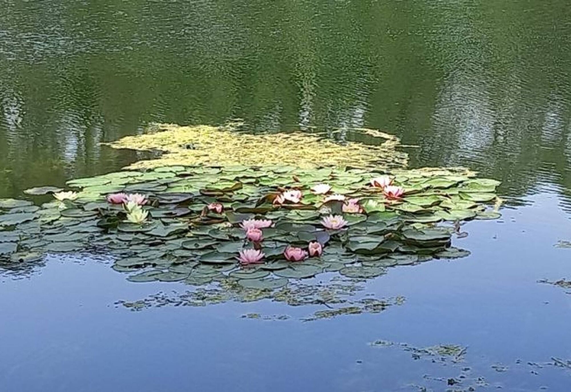
3. Turn left towards Souque and Vivier. Walk for about 150 meters, then turn right onto a grassy path towards Vivier. Reach a road and turn right for about 80 meters. -> To the right, off the trail, there is an option to visit Lake Miquelou (a 2.5 km round trip).
4. Turn left at Capelette, then left again at a road intersection. At the first crossroads, continue straight towards Saint-Paules and Les Escudiés. At the second crossroads, descend straight on a gravel path. Ascend straight on the path you took earlier. Continue straight to a road intersection.
5. Turn right. Pass Pradarié, then turn right onto a grassy path. Pass beside an orchard, then immediately turn left. Walk along the edge of fields and descend through a woodland.
6. At the bottom of the wood, on a path, turn left. At a crossroads under poplars, turn right. Follow along the right side of Lake Nabeillou and return to the starting point by crossing the dam.
Easy
Priljubljeni izleti v okolici
Garlic Trail
svetlobaPohodništvo 7,07 km- 5,0
Sentier des crêtes
srednjaPohodništvo 11,3 km Sentier des coteaux
svetlobaPohodništvo 10,0 kmLe circuit du pas du Loup
svetlobaPohodništvo 9,89 kmLa voie romaine
težkoPohodništvo 28,5 kmBoucle des crêtes
svetlobaPohodništvo 5,69 kmSentier urbain de Lavaur
svetlobaPohodništvo 2,58 kmOenorando® La Birado
svetlobaPohodništvo 7,76 kmLe circuit des Devèzes
svetlobaPohodništvo 9,99 kmLe circuit boisé de la Capelle
težkoPohodništvo 18,6 km
Pohodništvo in sledenje


Ne zamudite ponudb in navdiha za naslednje počitnice
Vaš e-poštni naslov je bil dodan na poštni seznam.