


ITINERARY ON GR®7 CAROUX-ESPINOUSE
ATTENTION (Information dated February 13, 2026): for your safety, due to recent bad weather, this route is closed until further notice.
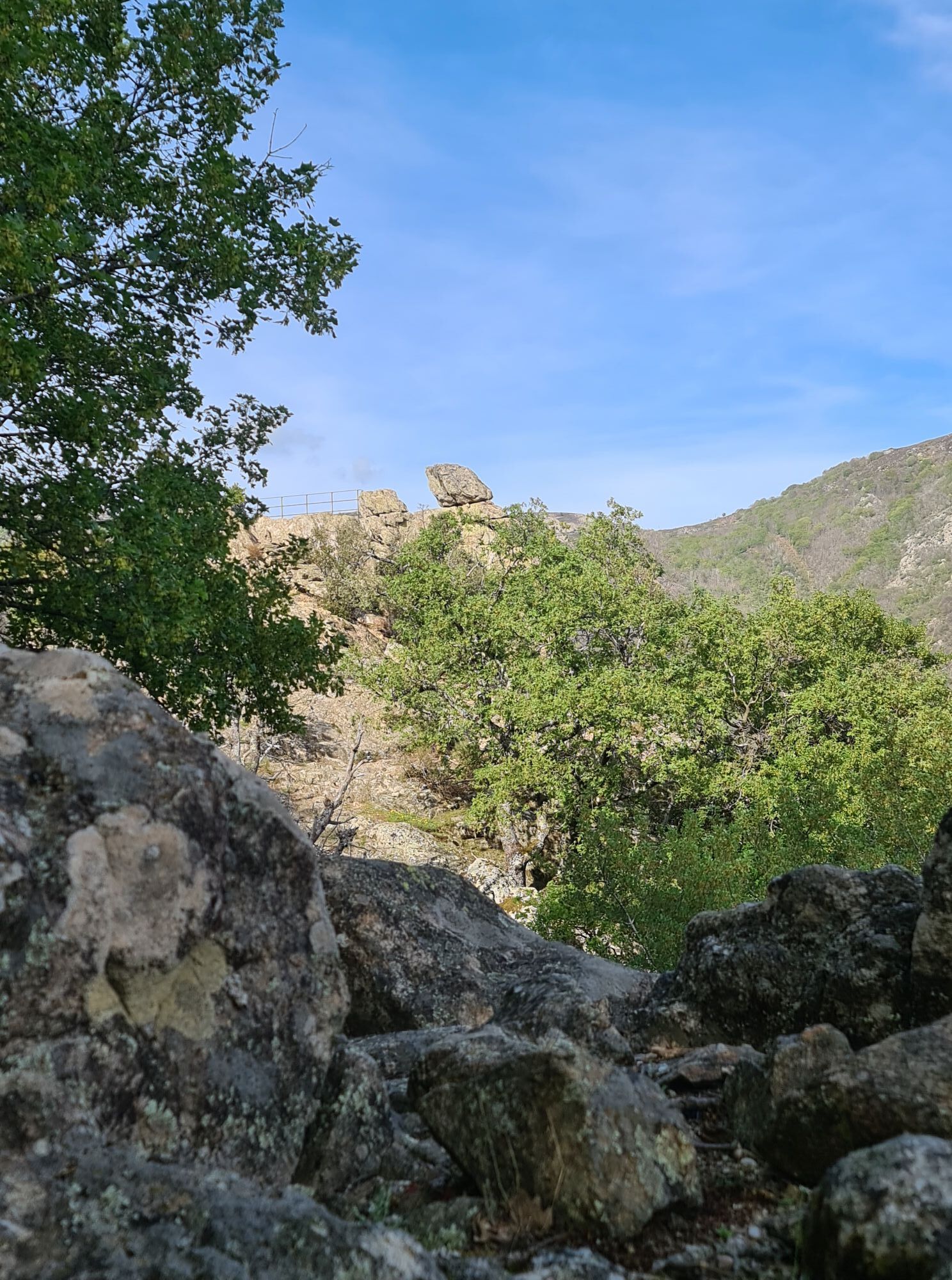
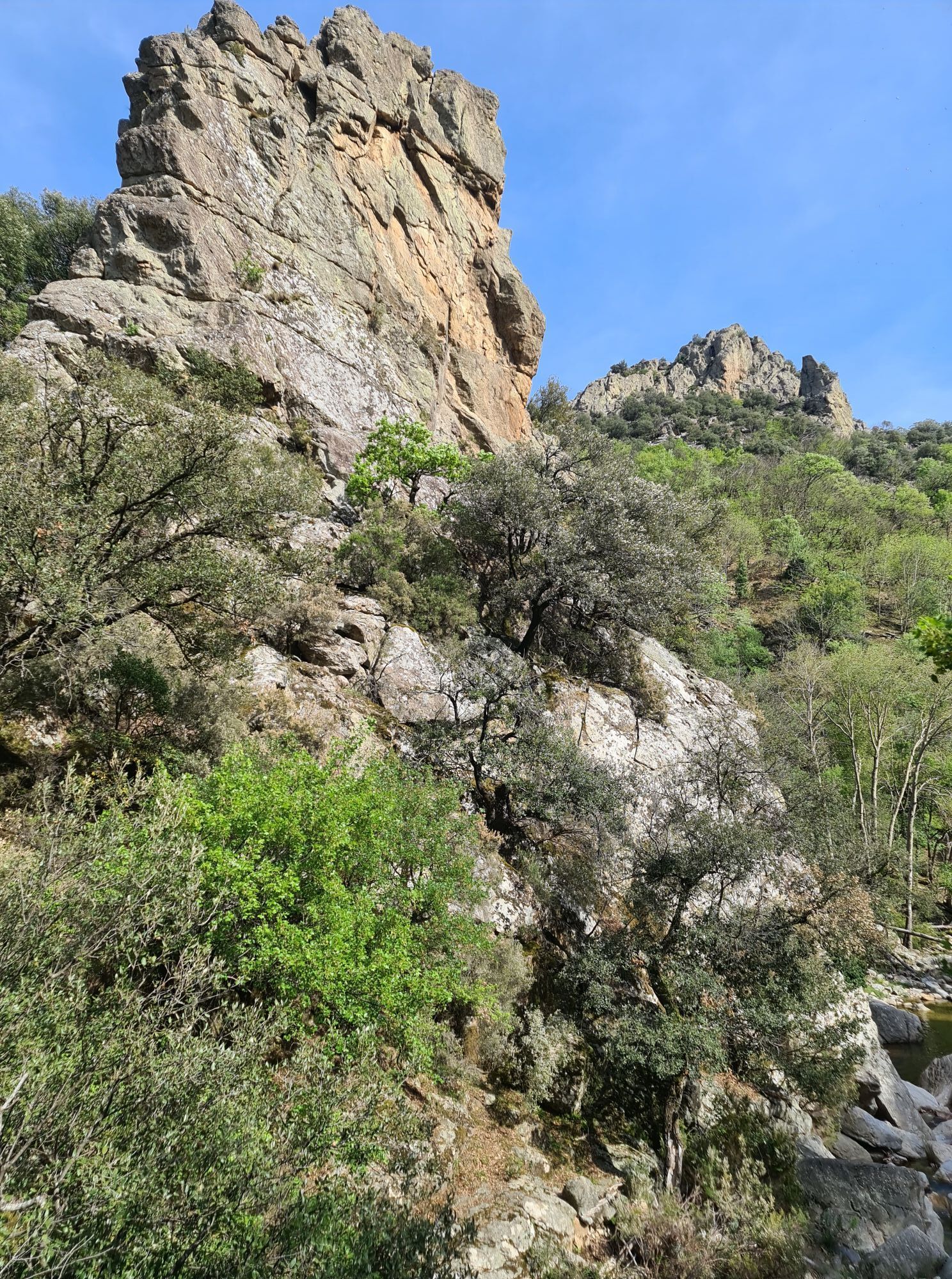
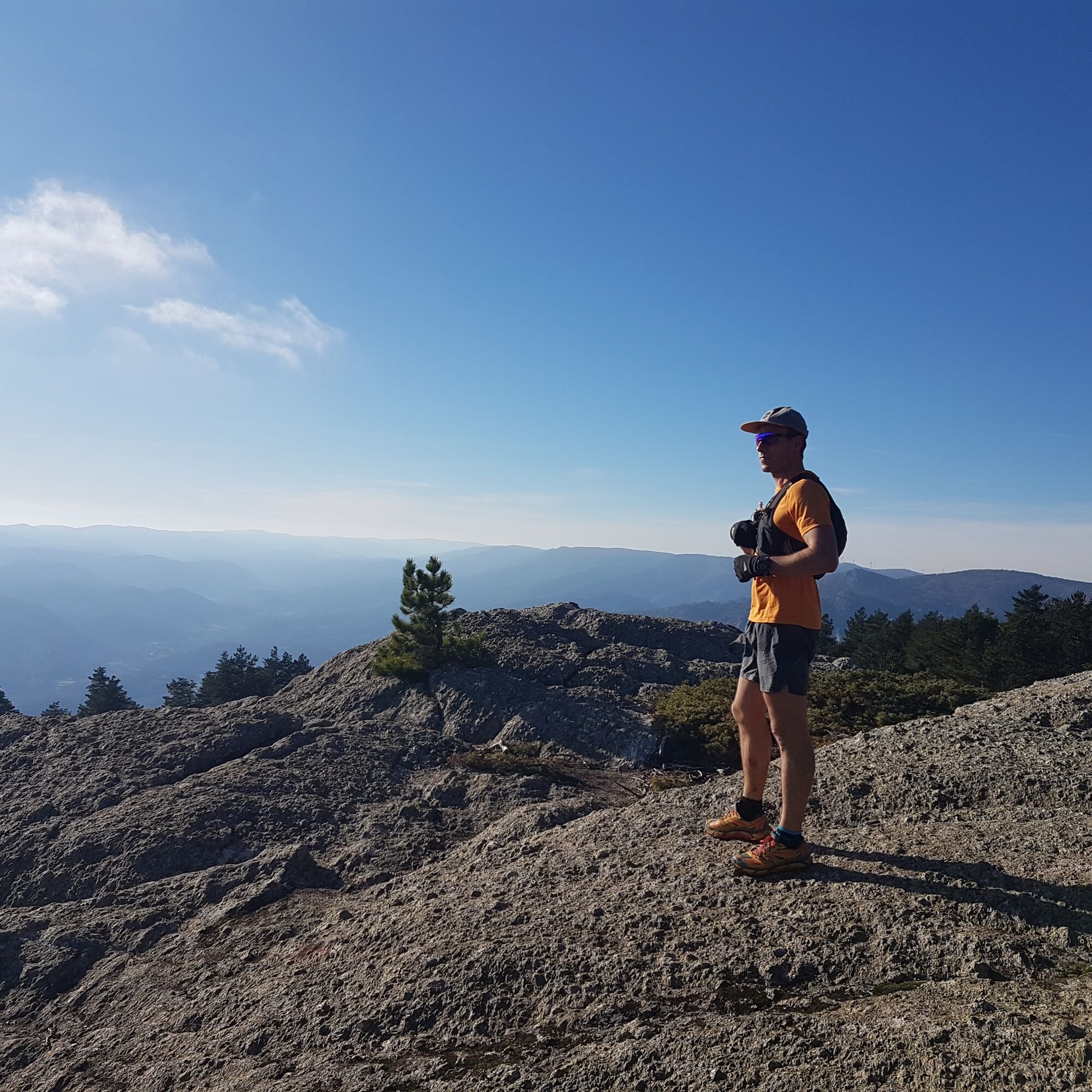
The Espinouse and Caroux massifs reveal steep relief with Corsican...
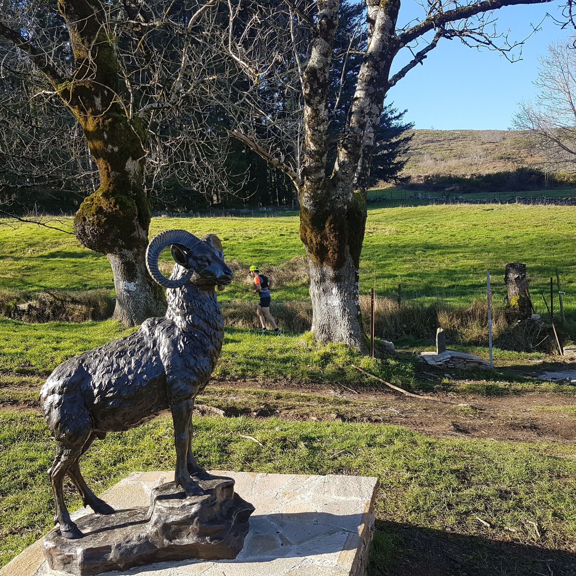
The Espinouse and Caroux massifs reveal steep relief with Corsican accents. Here, hikers with mountain feet have to earn their stride. The reward is immense: a breathtaking panorama from the Pyrenees to the Mediterranean. In this sanctuary where the mouflon reigns, nature is vulnerable. Respecting the trails and the silence is the best way to pay tribute to this fragile nature.

1
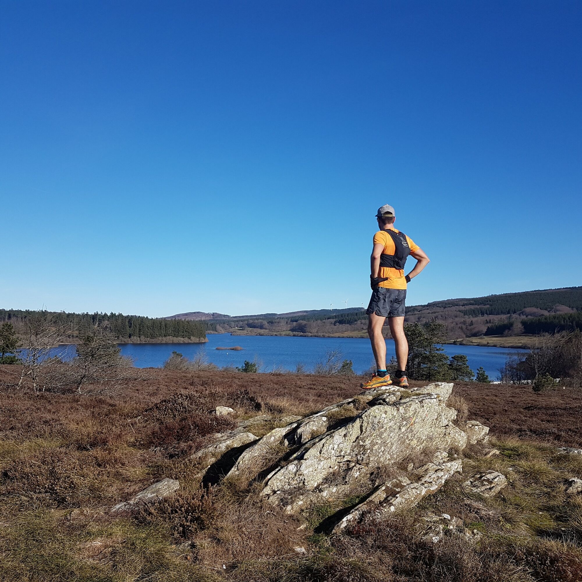
The Caroux is a mountainous massif with steep, uneven slopes. This first stage immediately gets to the heart of the matter, with a trip along the "Chemin des légendes" (or "1000 steps", a historic path) that quickly takes you to the Vezoles lake (km 8) and its mountain atmosphere. The remainder of the route crosses the Somail and Espinouse plateaus, and takes on a less rugged profile, with forests, moorlands and balconies offering incredible views of the valleys below and the other peaks of the Haut-Languedoc. Other accommodation on the way: (Km11) Refuge de campblanc au lac de Vesoles https://refuge-campblanc-hautlanguedoc.com/ (Km19 - 1.5km off GR) Gîte Le Jougnier https://www.equipagesdujougnier.fr/
2
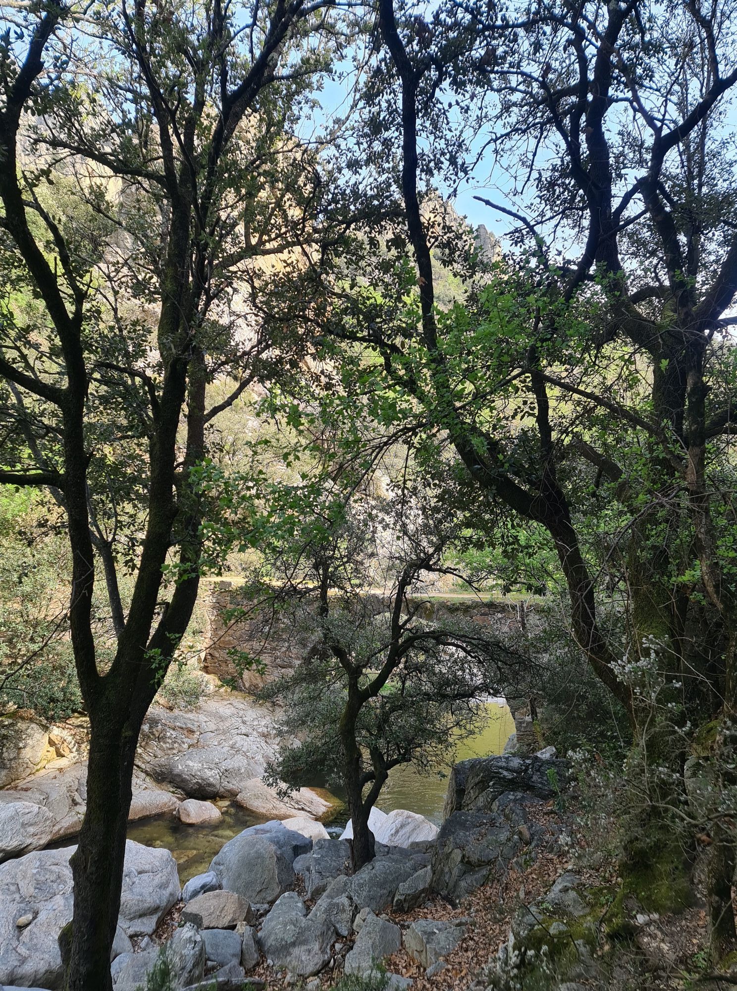
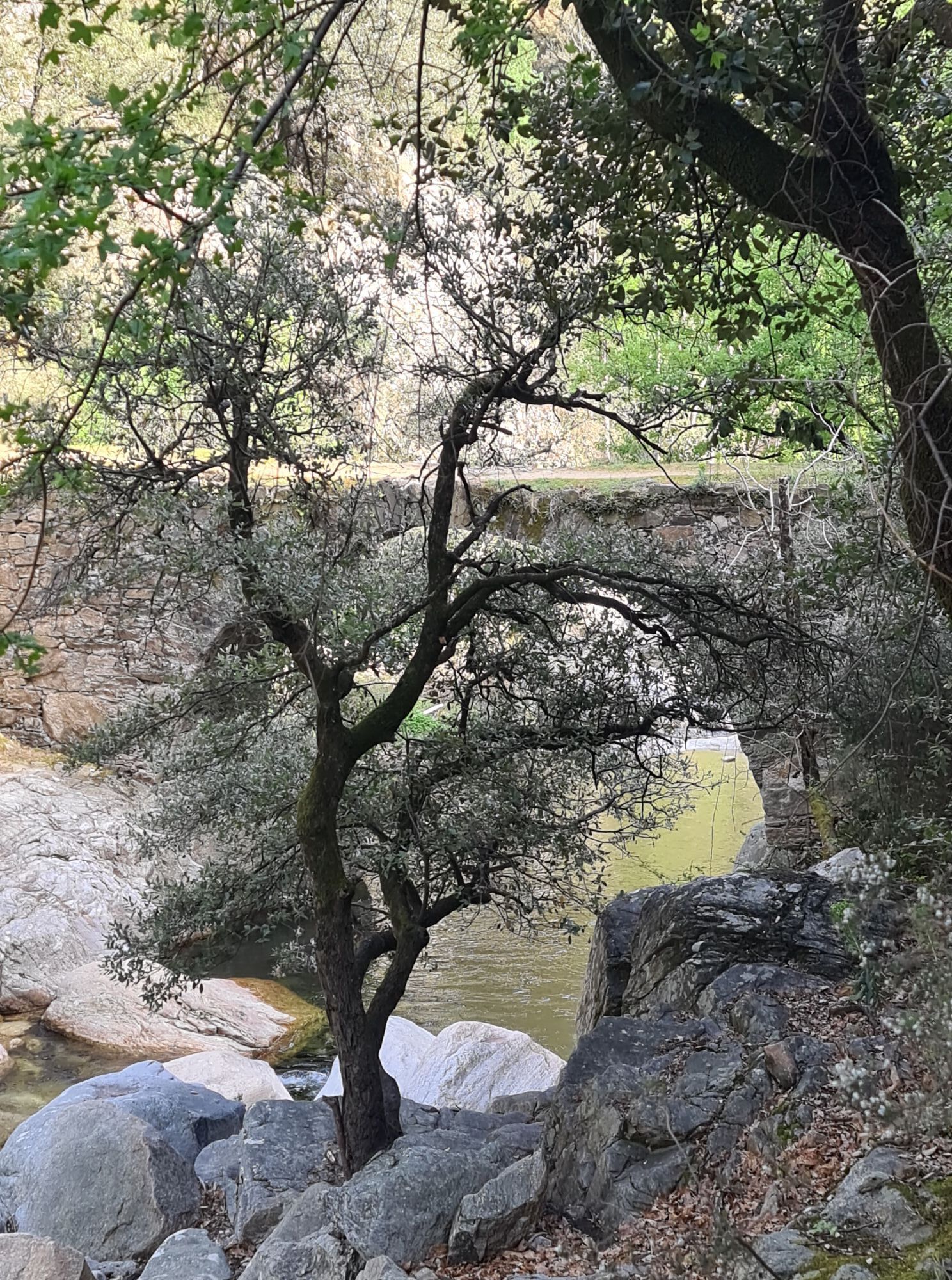
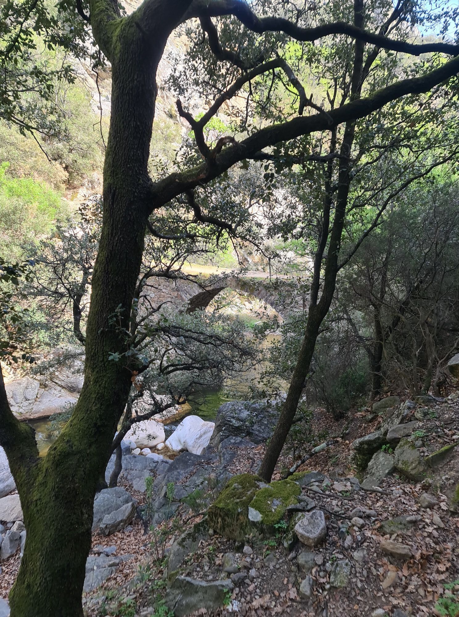
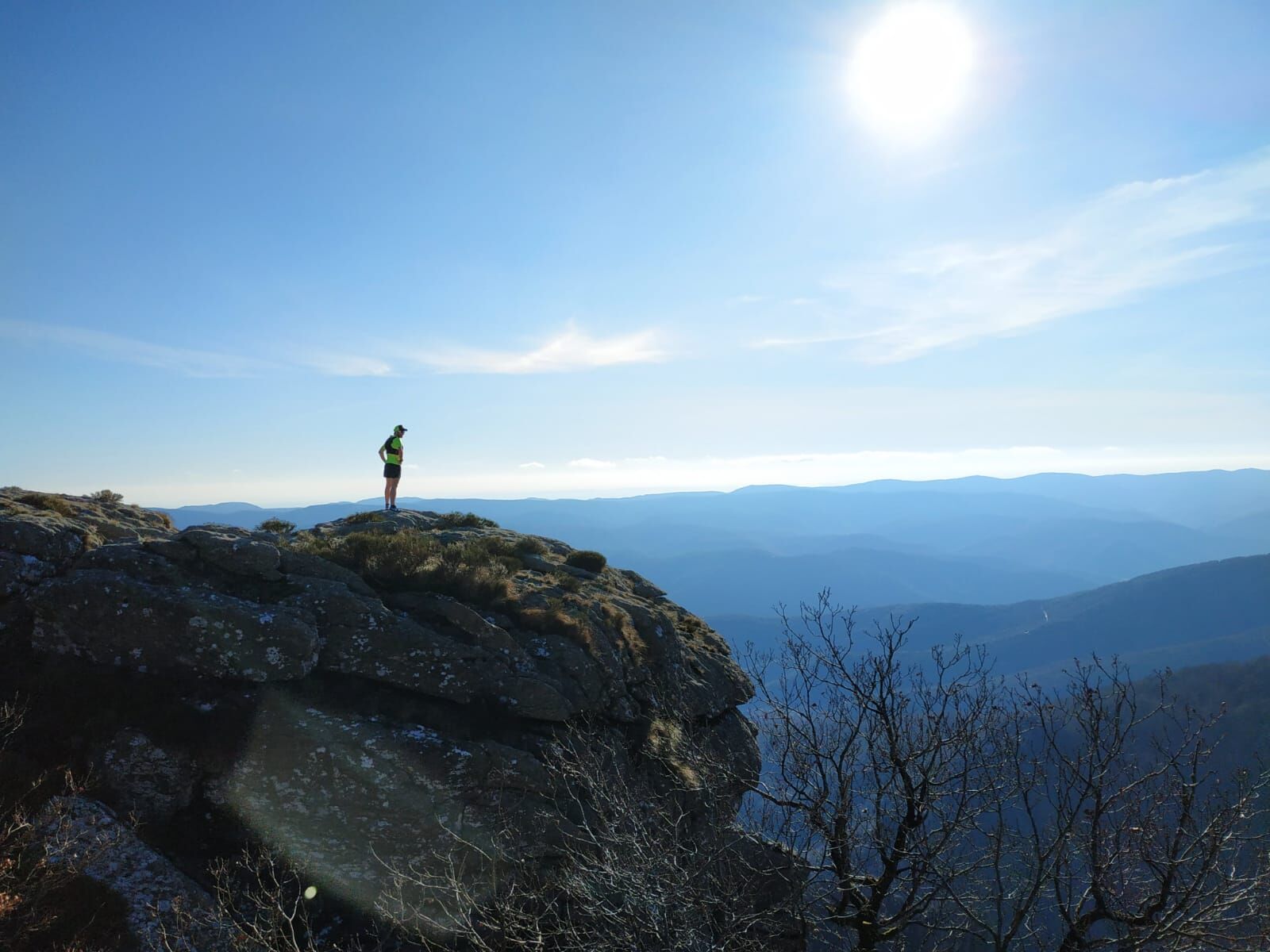
The route quickly leaves the plateaus to return to the steep valleys on technical, challenging trails. The Col de Bardou pass (km 33) marks the entrance to the Gorges d'Héric, the heart of the Caroux massif and a popular spot for traditional climbing. After the hamlet of Héric, the slope rises again to reach the hamlet of Douch (km 37) and then the Caroux plateau at over 1000m altitude. The orientation table (km 40) offers a breathtaking view, with glimpses of the Mediterranean Sea and the Pyrenees. A few kilometers more on this high-altitude plateau, before descending into the upper reaches of the Colombières gorges and gradually losing altitude to reach Lamalou-les-Bains, renowned for its thermal cures (km 55). Accommodation on the route: (Km 25) Les Bourdils 06.15.97.90.28 (Km 37) Gîtes Marcel Cèbe et René Magnaldi in Douch (Rosis) https://rosis-languedoc.fr/ (Km 42)Gîte Hameau de La Fage (Rosis) https://hameau-la-fage.fr/ (Km48) Gîte Le Serpent d'Etoile (Combes) 06.27.15.46.55
Lines 661/663 then 682
GR® and GR® de Pays are registered trademarks of the FFRandonnée, and designate the itineraries identified under the name "GR®", marked with white-red markings; and under the name "GR® de Pays", marked with yellow-red markings. These routes are the creations of FFRandonnée. Their unauthorized reproduction, as well as the GR® and GR® de Pays trademarks, constitutes an infringement liable to prosecution. Find all GR® routes on mongr.fr
White and red GR
https://www.parc-haut-languedoc.fr/
Haut-Languedoc Regional Nature Park
GR - FFR
Priljubljeni izleti v okolici
-
4.0
GORGES DE COLOMBIERES HIKE
srednjaPohodništvo 12.0 km -
5.0
HIKING OF THE HÉRIC GORGES VIA THE ORIENTATION TABLE
srednjaPohodništvo 16.3 km -
5.0
HIKING ROUTE OF THE TERRASSES DE L'ESPINOUSE
srednjaPohodništvo 16.8 km -
4.0
LEGENDS TRAIL HIKE
srednjaPohodništvo 11.4 km -
3.0
CYCLE LOOP No. 29 - FROM THE VALLEYS TO THE PEAKS OF HAUT-LANGUEDOC
srednjaKolesarjenje 64.3 km -
CAROUX SUMMIT HIKE
srednjaPohodništvo 7.94 km -
TOUR DE LAC DE VESOLES HIKE
svetlobaPohodništvo 6.27 km -
HIKING OF THE UPPER VALLEY OF THE MARE
srednjaPohodništvo 16.2 km -
HIKING OF THE ROQUANDOUIRE GATEWAY
srednjaPohodništvo 10.5 km -
RANDONNEE L'AYROLLE
srednjaPohodništvo 8.13 km

Pohodništvo in sledenje


Ne zamudite ponudb in navdiha za naslednje počitnice
Vaš e-poštni naslov je bil dodan na poštni seznam.