






HIKING OF THE UPPER VALLEY OF THE MARE
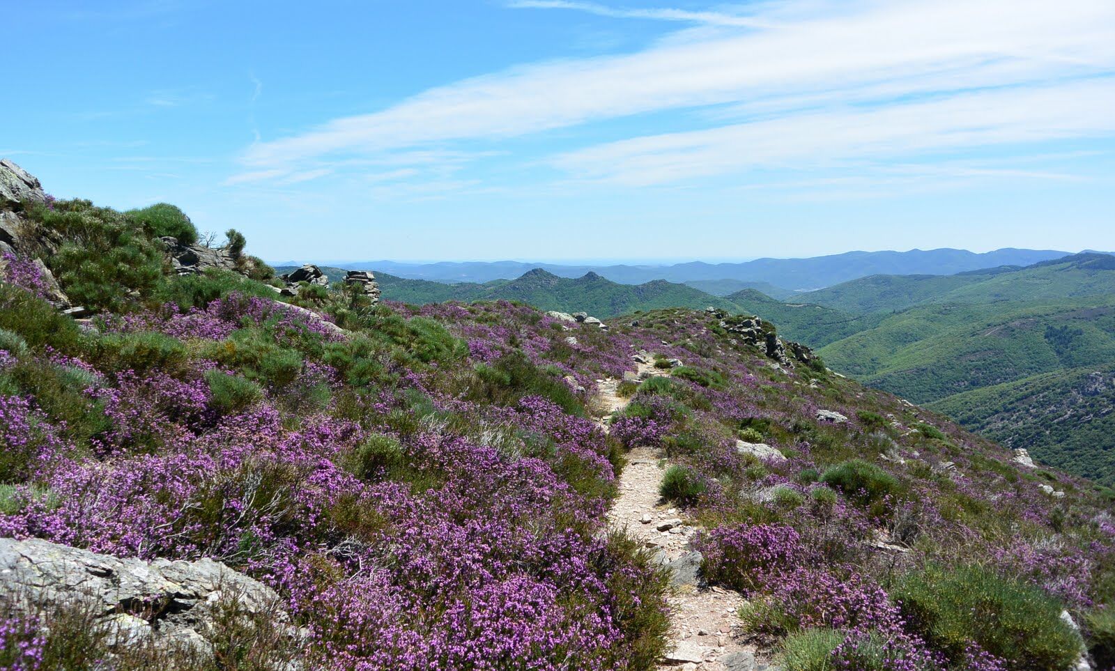
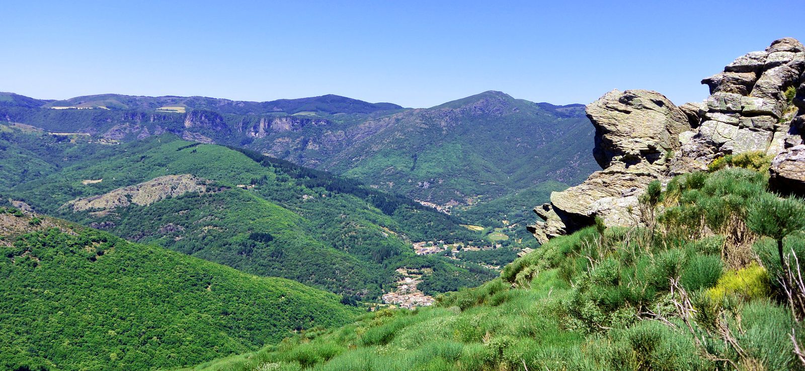
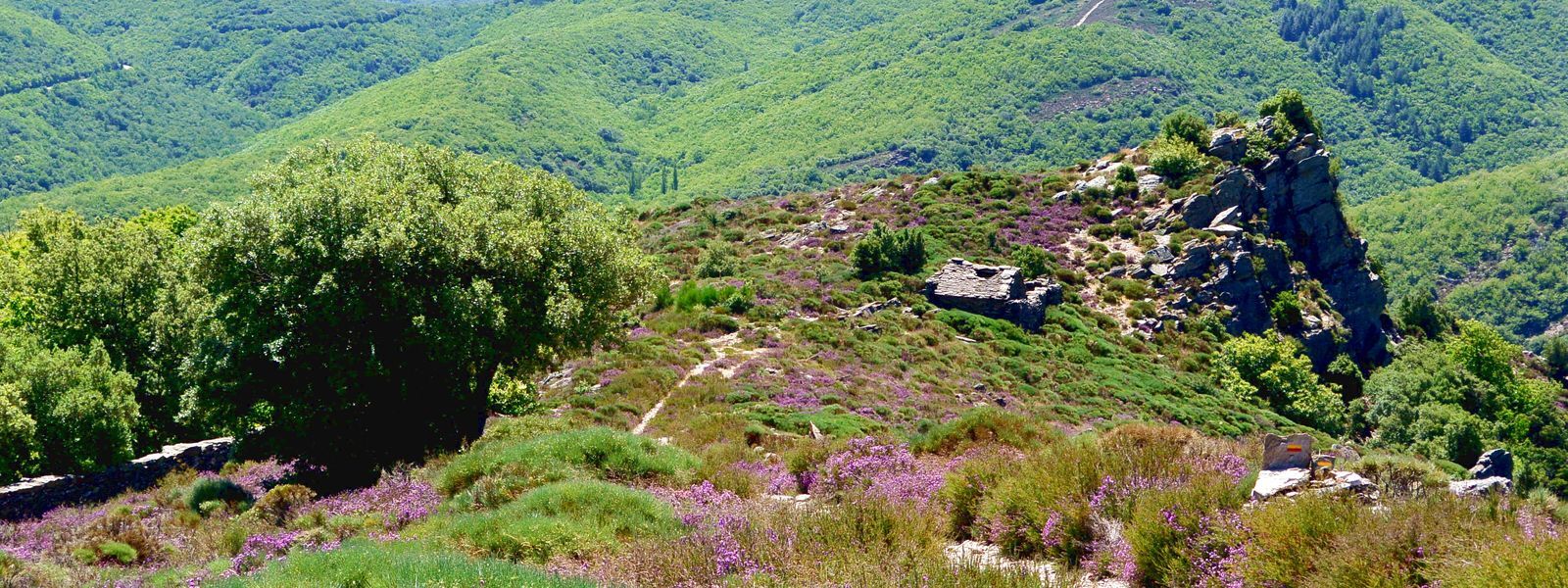
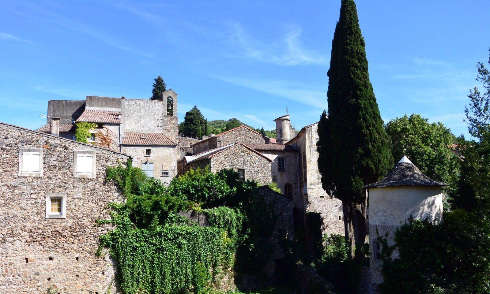
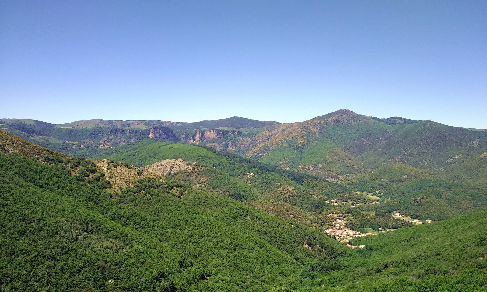
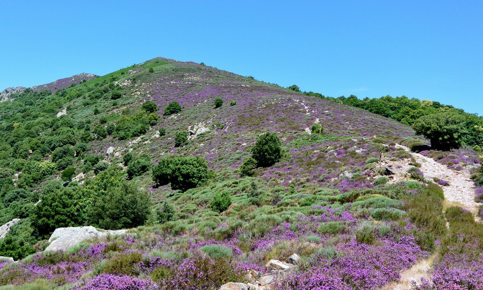
At the eastern gate of the Caroux massif, this sporty route offers spectacular views of the Mare valley and the Orb mountains, the Orque cliffs, the More ridge and the Roquandouire portal.


1
From the entrance of the parking lot, go left to the church square. On the way back, continue along avenue des Treilles to the parking lot.
2
Follow the direction "Cours-le-Bas." Pass the Pénitents church and cross the Casselouvre bridge on the right to go up to Compeyre.
3
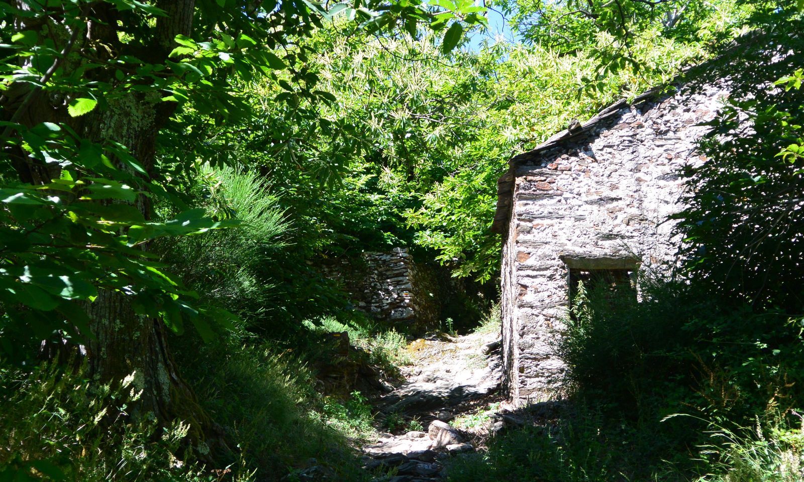
Take the stairs on the right, continue and climb into the chestnut grove. Pass in front of sécadous. Reach a turning area (PR Les Banissous separation).
4
Climb the ridge of the More ridge. Descend, cross the Roquandouire portal. Immediately go down the path to the right, through the brooms. Reach a concrete track and, further ahead, pass the hamlet of La Combe.
5
Short variant of the circuit (10 km – 3 h 30): to the right, climb through the chestnut grove. Continue for about 2 km and reach a track. Descend for 300 m, leave the track to the right by a path. Further ahead, cross the track, go down straight ahead to Saint-Gervais. 4. Continue along a small road, cross the Mare. Go right and cross Andabre. Cross the D 922 and continue to Plaisance.
6
Leave the road to the right, cross the square and cross a bridge. Climb on the track, further on pass a col and go down to the left to a road. Cross the Combals, continue and, on an incline, leave the road to the left. Climb a steep slope by steps and reach an intersection (PR Le Marcou separation).
7
Descend to the right along a track to the road. Go left. At a house, go down to the left along a track. Turn right at a walnut orchard. Leave the path to the left, bypass a meadow on the right then cross a stream. Climb by a path, cross a grassy track and to the right reach the Mècle pass. Descend to the church.
8
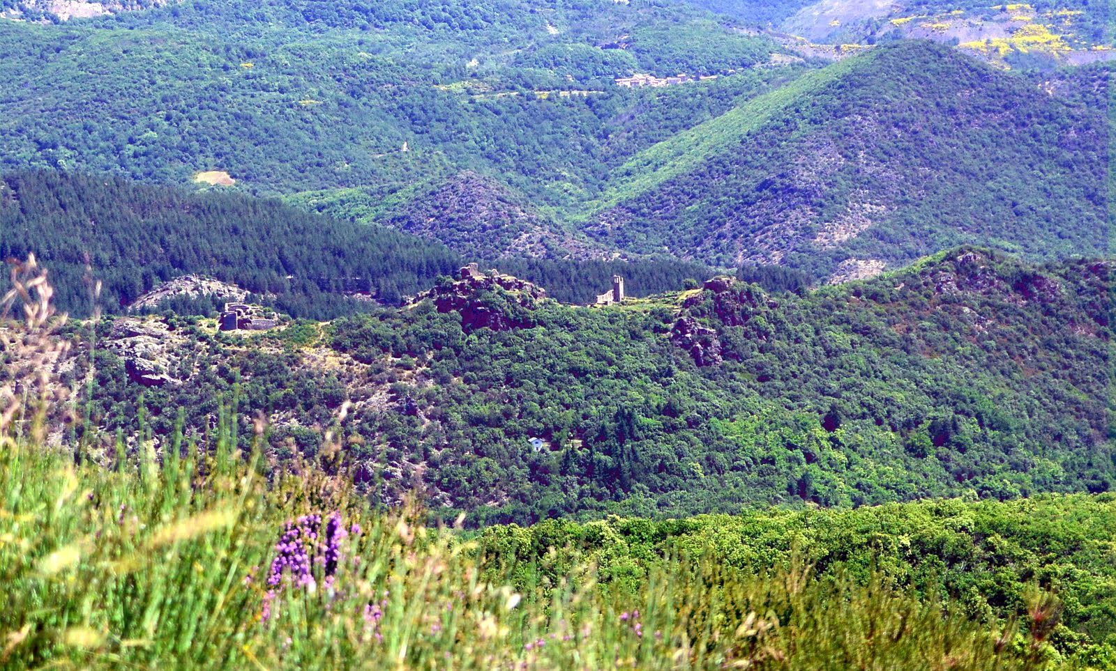
Cross the hamlet, cross a bridge and climb to the right along a track. Enter straight ahead into the forest, to the Las Couchas pass. Take the path on the left. Reach a small pass, continue along the ridge. Before the ruins of Nayran castle, go down to the right by a paved path and cross the bridge over the Mare. Go left, cross the D 922, continue on rue du Docteur Pauzier then, left on the main street, return to the parking lot.
Yellow PR
+33 4 67 95 70 91
BIT Lamalou les Bains
PDESI
Priljubljeni izleti v okolici
-
4.0
GORGES DE COLOMBIERES HIKE
srednjaPohodništvo 12.0 km -
5.0
HIKING OF THE HÉRIC GORGES VIA THE ORIENTATION TABLE
srednjaPohodništvo 16.3 km -
5.0
HIKING OF THE L'ESPAZE ARBORETUM
srednjaPohodništvo 12.3 km -
4.0
CAROUX SUMMIT HIKE
srednjaPohodništvo 7.94 km -
5.0
HIKING ROUTE OF THE TERRASSES DE L'ESPINOUSE
srednjaPohodništvo 16.8 km -
5.0
HIKING THE RED ROCK
srednjaPohodništvo 7.01 km -
5.0
OENORANDO® THE VALLEY OF AROMAS
srednjaPohodništvo 13.7 km -
3.0
CYCLE LOOP No. 29 - FROM THE VALLEYS TO THE PEAKS OF HAUT-LANGUEDOC
srednjaKolesarjenje 64.3 km -
HIKING THE MONTs D’ORB LAKE TOUR - GR® DE PAYS BETWEEN 2 LAKES AVÈNE – SALAGOU
srednjaPohodništvo 33.6 km -
HERIC GORGES ROAD - MONS LA TRIVALLE
srednjaPohodništvo 9.38 km
Pohodništvo in sledenje


Ne zamudite ponudb in navdiha za naslednje počitnice
Vaš e-poštni naslov je bil dodan na poštni seznam.





