







Le sentier des trois ruisseaux
From these flat areas, exceptional panoramas open up on the relief. The landscapes are pleasant, you ride the streams that feed the cultivated fields.
Once you arrive at the hamlet of Montagnarié, you enter...
Once you arrive at the hamlet of Montagnarié, you enter the forest by the path of Baylou. At the top of this shaded slope, you can reach the chapel of Our Lady of Fatima, and its spring with supposed medicinal virtues. The place is very pleasant in summer, and you can picnic on the tables of the area provided for this purpose.
You then return to the village by a long descent that takes you near the limestone quarry of Saint-Chipoli.

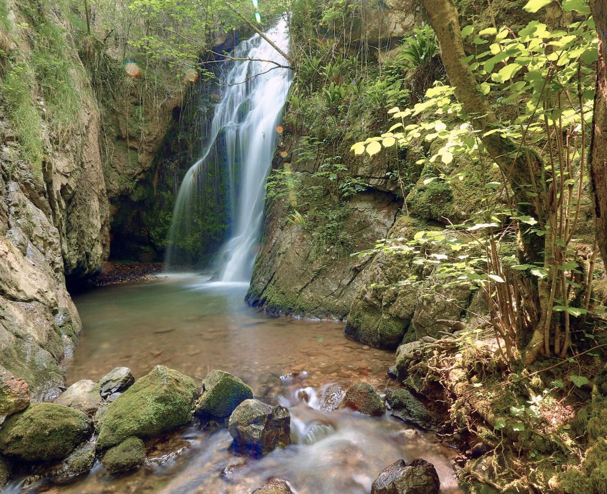
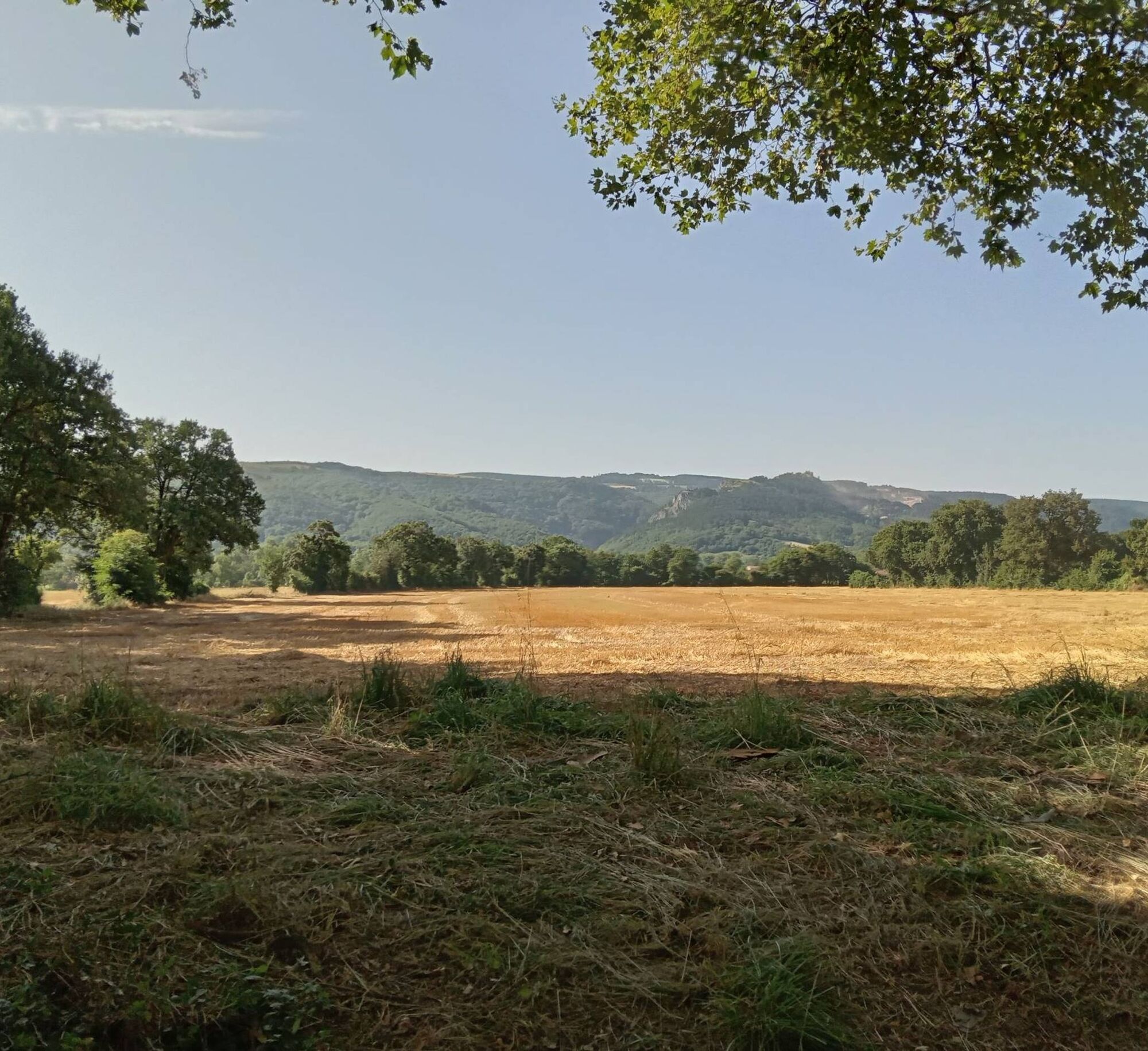
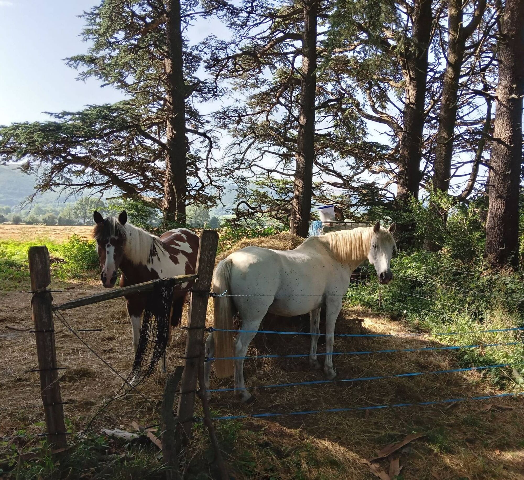

1. Take the alley that goes down to the left of the church and follow the slope crossing the first Taurou stream. At the "Y" intersection, turn right towards the gas station crossing the departmental road. Follow the markings as you advance into the plain to arrive at a section of the GR653.
2. Turn left into a large avenue of plane trees. At the end of the alley, turn right onto the road. Cross the Taurou again then walk through the fields towards the west, until the crossroads of 4 paths.
3. Turn left towards the hamlet of Gascarié, visible at the end of the path. After the old bread oven, the path becomes tarmac, turn right and cross the second Malric stream. Further along the road, turn right towards the new farmhouse by taking the path of En Séguier, shared with the GR.
4. Continue on this path to cross the third Melzic stream, and continue until the D85. Cross the road with great caution and join the track opposite marked "Tarsicoy" which goes towards the mountain and will take you to Montagnarié.
5. Arrive at the center of the hamlet of Montagnarié and turn right towards Baylou. Cross the Melzic again and continue straight on along the path that rises in the forest.
6. Possibility of reaching the chapel of Our Lady of Fatima a few meters higher by continuing straight. Take the path on the left between the rocks which returns towards Dourgne passing under the large quarry.
7. Cross the D12 to take a path which cuts the bends and finds the road lower down just before the entrance to the village. Return straight to your starting point.
Easy
Priljubljeni izleti v okolici
-
La Capelette de Saint-Ferréol
težkoPohodništvo 10.8 km -
Le Carbonéral
težkoPohodništvo 18.3 km -
GR7® Montagne Noire
težkoPohodništvo 73.5 km -
La boucle de l'Agout à Fréjeville
svetlobaPohodništvo 14.6 km -
Le chemin des oiseaux
svetlobaPohodništvo 5.65 km -
Horseback Tour of the Tarn: Escoussens / Dourgne
težkoJahanje 21.3 km -
Grand Avaris hiking trail
svetlobaPohodništvo 11.4 km -
Sentier des Pigeonniers
srednjaPohodništvo 12.2 km -
Horseback Tour of the Tarn: Les Montagnès / Escoussens
srednjaJahanje 10.7 km -
Horseback Tour of the Tarn: Dourgne / Serviès
težkoJahanje 39.2 km
Pohodništvo in sledenje


Ne zamudite ponudb in navdiha za naslednje počitnice
Vaš e-poštni naslov je bil dodan na poštni seznam.





