


LE CHEMIN DE L'EAU - THE LOOP
Discover La Vacquerie's rich hydraulic heritage on a 9 km loop hike. The signposted trail takes you from the village to the astonishing Source du Goutal, its natural water tower, via the Cantercel experimental...
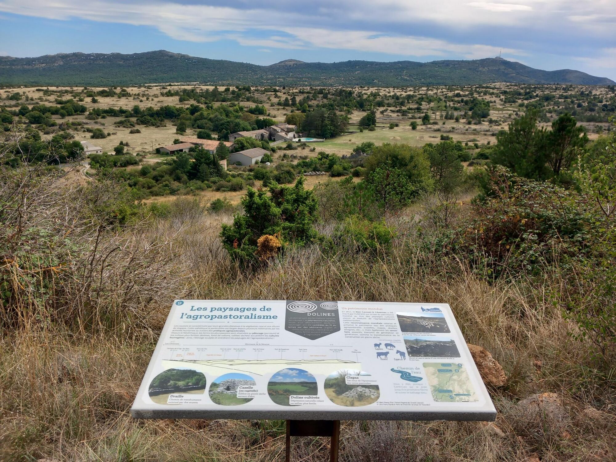
Inhabitants have always sought to harness spring water while protecting themselves from flooding. This is what you'll learn as you follow the Water Trail, which leads you to the discovery of unusual hydraulic structures (catchments, pipes, cisterns, etc.). These relics bear witness to the ingenuity of rural communities, faced with both water scarcity and the risks associated with sudden, sometimes violent floods.
The itinerary, accessible to all, is punctuated by interpretation panels, the fruit of the research work of Marc Leblanc, a former researcher at the CNRS.

1
At the end of the parking lot, turn right along the dry-stone wall (behind the tennis court). Cross with the Saint-Maurice-Navacelles road. Go straight ahead, slightly uphill.
2
At the well-tank, turn left to the mare-lavagne.
3
At the pond, turn left and then left again to find the original path and go right down towards the Saint-Maurice-Navacelles road. Then turn left towards the village center.
4
Follow the Saint-Maurice-Navacelles road to Place de l'Ormeau. Continue straight ahead on the Grand'Rue towards La Trivalle. At the end of the village, turn right into rue de la Digue.
5
Continue straight ahead in the riverbed...
6
Climb left along the meadow parallel to the stream.
7
Continue straight ahead, the path climbs up to the Trivalle reservoir.
8
At the reservoir, turn right and stay on the winding track for approx. 500 m.
9
Leave the track on the left and take the narrow path that winds up to the Observatoire de la faune. Immediately afterwards, take the left-hand path down to the track. Continue downhill for 30 metres and turn left at the wild pear tree. Keep to the path for about 20 metres, then turn left again. The path winds through the pine forest to the Goutal spring.
10
Arrive at the spring. Retrace your steps or continue for about 100 m to join the track. Descend for about 200 m, then turn right to rejoin the GRP Tour du Larzac Méridional heading north. Before the Col du Jouquet, turn right towards La Vacquerie-et-Saint-Martin-de-Castries, following the GR7.
11
Pick up the track and turn right towards La Vacquerie-et-Saint-Martin-de-Castries (4km), following the Passa Meridia, before rejoining the GR7.
12
Bergerie de Tédenat. Leave the track on the left through the gate. Be sure to close it. Continue downhill following the red and white GR7 signs to La Vacquerie-et-Saint-Martin-de-Castries.
A75 exit 52 from Béziers
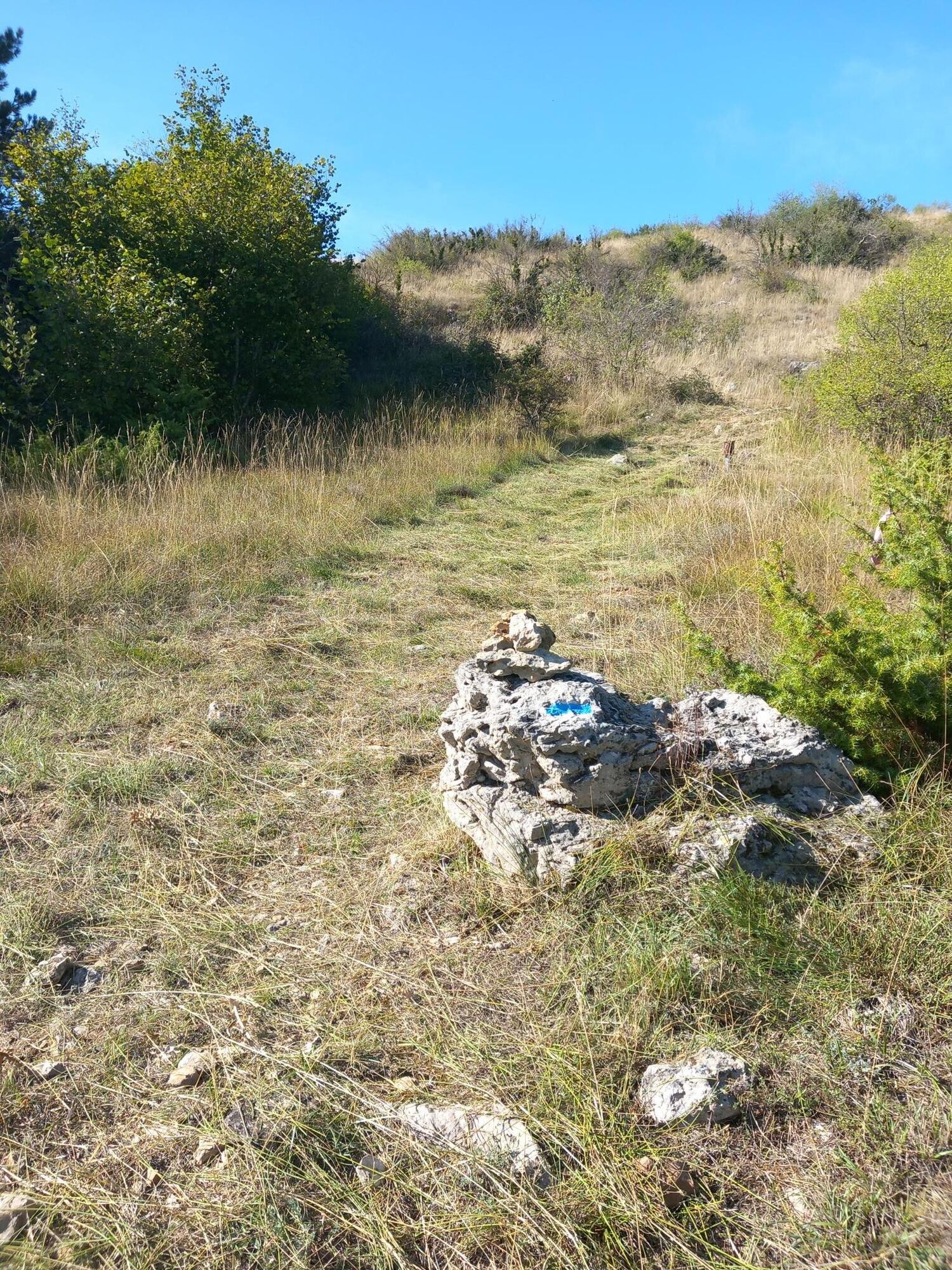
White and red GR
Blue local interest trails
Yellow PR
https://www.tourisme-lodevois-larzac.fr/
Priljubljeni izleti v okolici
- 5,0
LES VAILHÉS HIKING TRAIL
srednjaPohodništvo 9,28 km - 4,0
CYCLE LOOP No.4 - THE HÉRAULT GORGES AND THE COL DES LAVAGNES
srednjaKolesarjenje 53,3 km CIRQUE DE NAVACELLES AND MOULINS DE LA FOUX HIKING TRAILS
srednjaPohodništvo 9,73 km- 4,0
HIKE OF THE GRÉZAC PLATEAU
srednjaPohodništvo 14,0 km RANDONNEE DE PEYRE MARTINE
srednjaPohodništvo 15,4 kmHIKING OF THE FENESTRETTES
srednjaPohodništvo 10,4 kmNAVACELLES HIKE - CAUSSE AND VIS GORGES
srednjaPohodništvo 19,6 kmHIKE FROM DRY VALLEYS TO SOTCHS
srednjaPohodništvo 11,5 kmHIKING TOUR IN THE HEART OF THE CAUSSE - GR® DE PAYS TOUR DU LARZAC MÉRIDIONAL
srednjaPohodništvo 56,7 kmHIKING OF THE BALCONIES OF THE HERAULT
srednjaPohodništvo 17,9 km
Pohodništvo in sledenje


Ne zamudite ponudb in navdiha za naslednje počitnice
Vaš e-poštni naslov je bil dodan na poštni seznam.