
GR®10 - The great crossing of the Pyrenees
težko
Pridobite to turo v svoj mobilni telefon
GR®10 - The great crossing of the Pyrenees
težko
Pohodništvo
278.29
km
Skenirajte kodo QR in začnite navigacijo v aplikaciji bergfex.


Pohodništvo in sledenje





GR®10 - The great crossing of the Pyrenees
težko
Razdalja
278.3
km
Trajanje
07:30
h
Ascent
16,439
hm
Morska gladina
530 -
2,481
m

V aplikaciji si oglej pot
Brezplačno namestite aplikacijo in spremljajte pot z GPS-navigacijo in sledenjem.
bergfex zdaj uporabljaj v aplikaciji
S kamero poskeniraj QR-kodo
Ko je aplikacija nameščena, se vsebina odpre takoj. Če aplikacije še nimaš, te bo preusmerila na stran za brezplačen prenos.
Prenos skladbe
GR®10 - The great crossing of the Pyrenees
težko
Pohodništvo
278.29
km
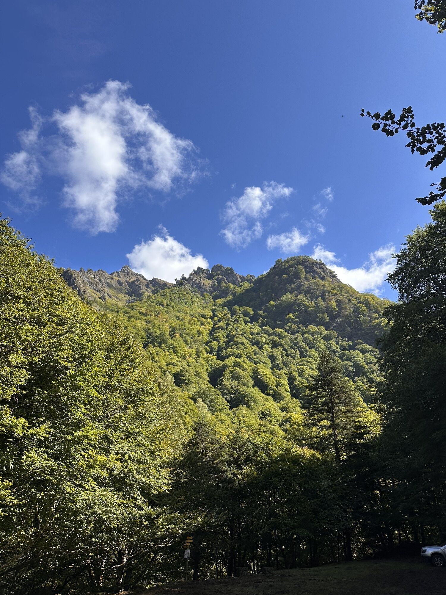
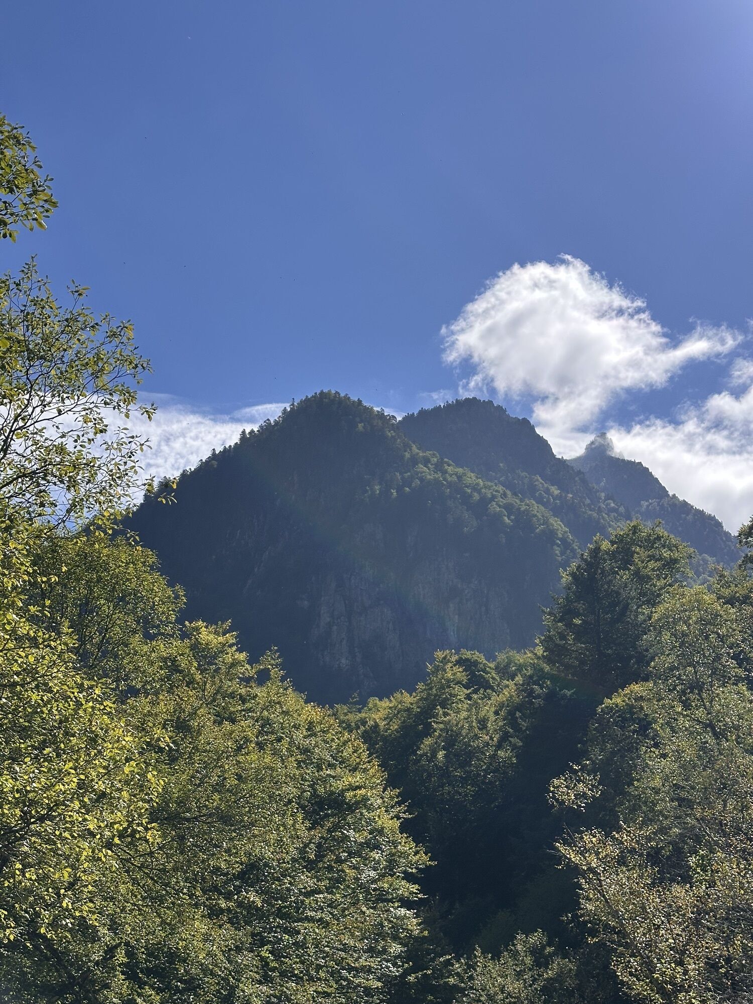
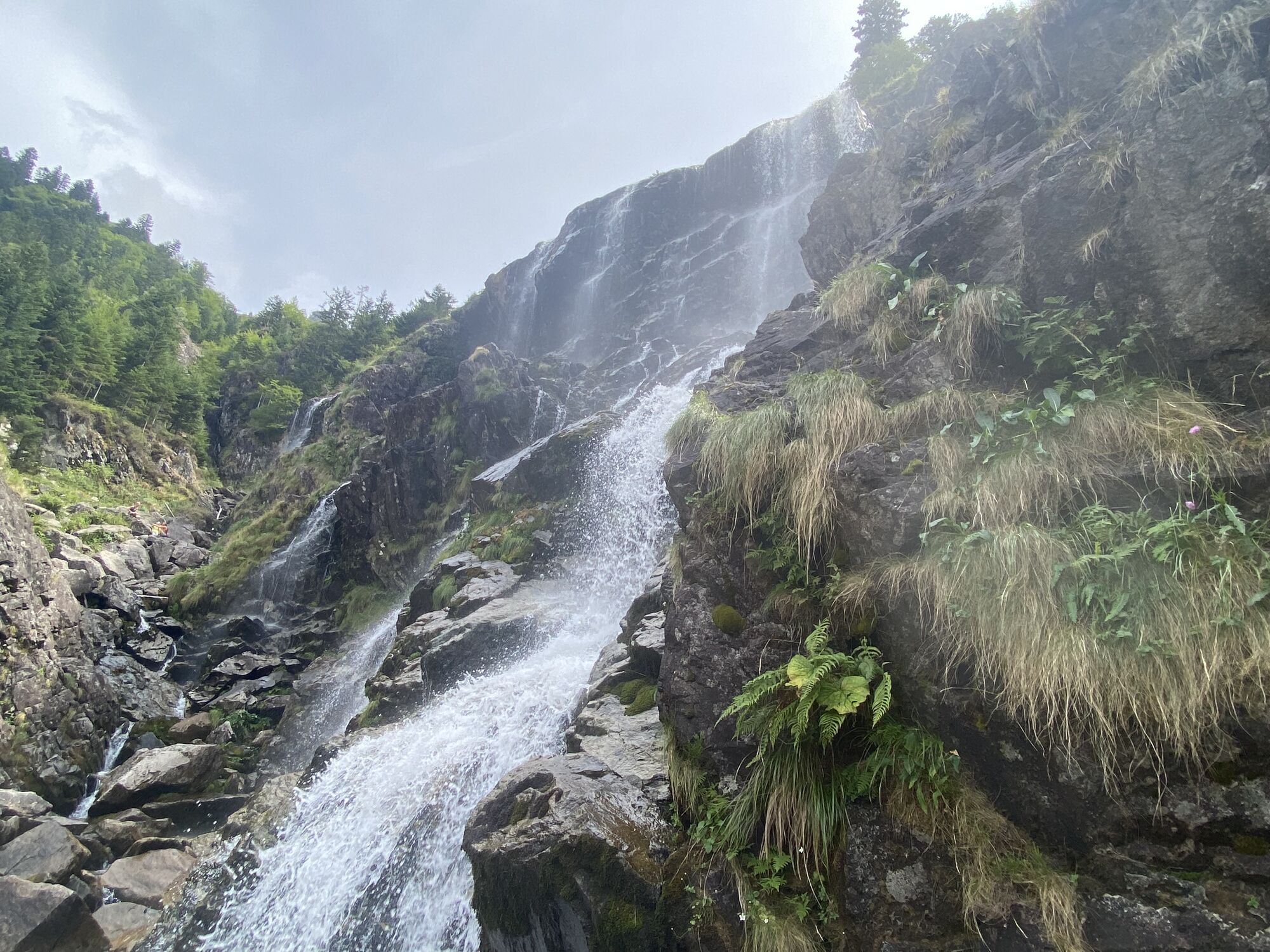
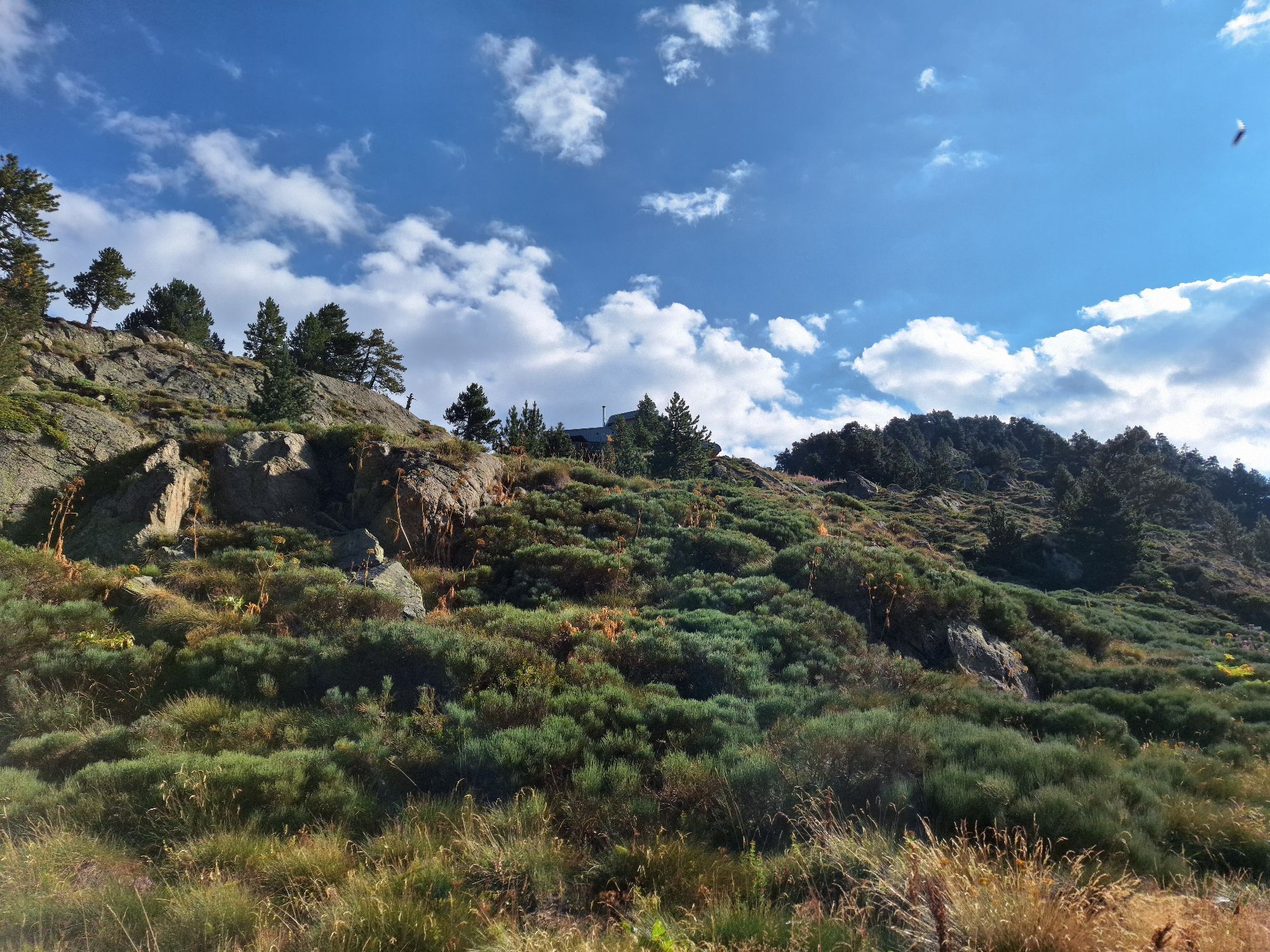
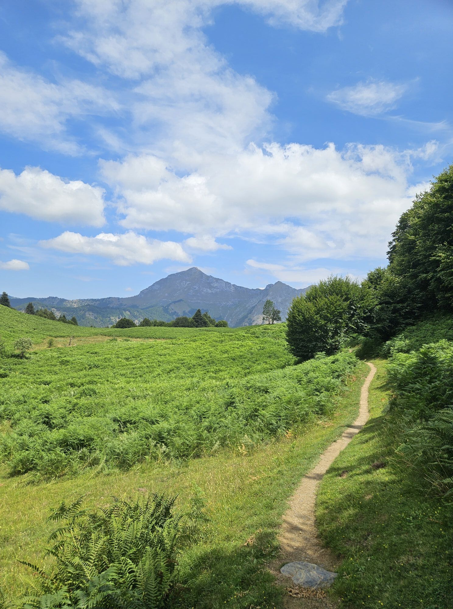
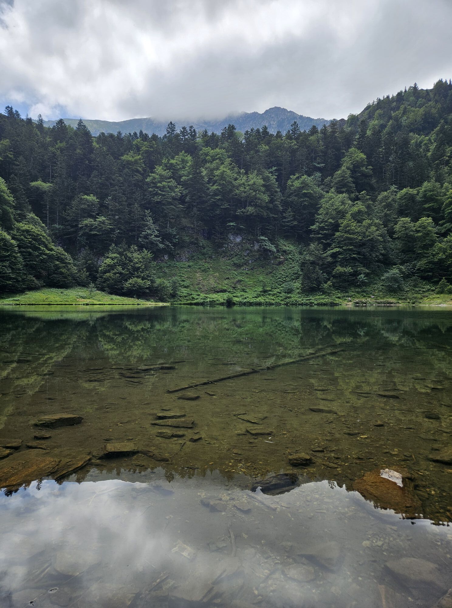
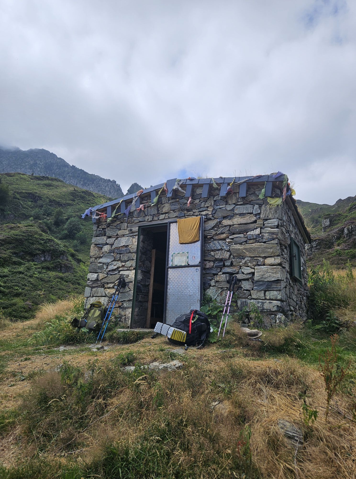
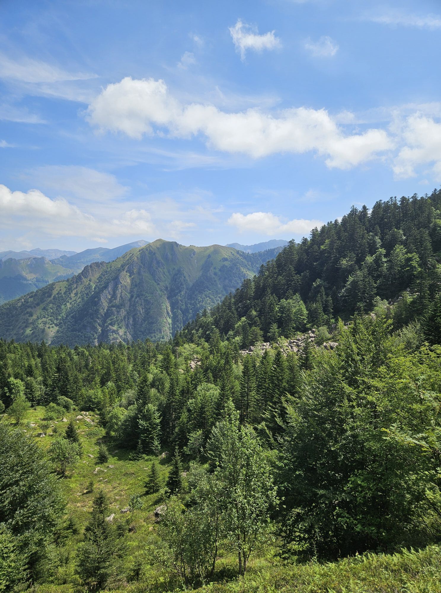
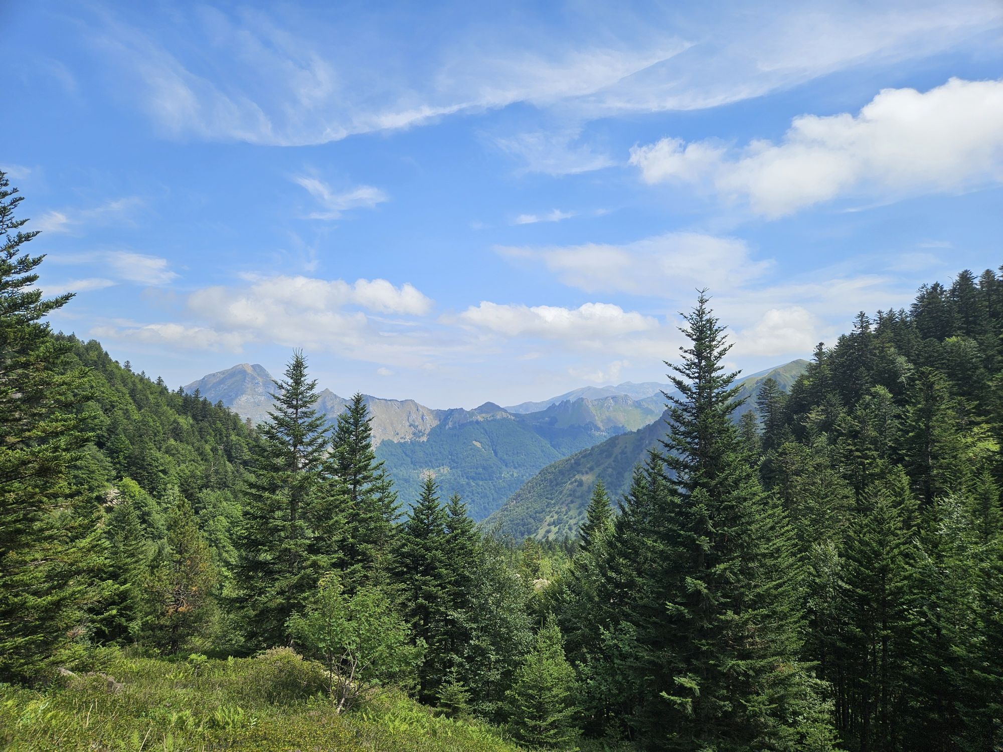
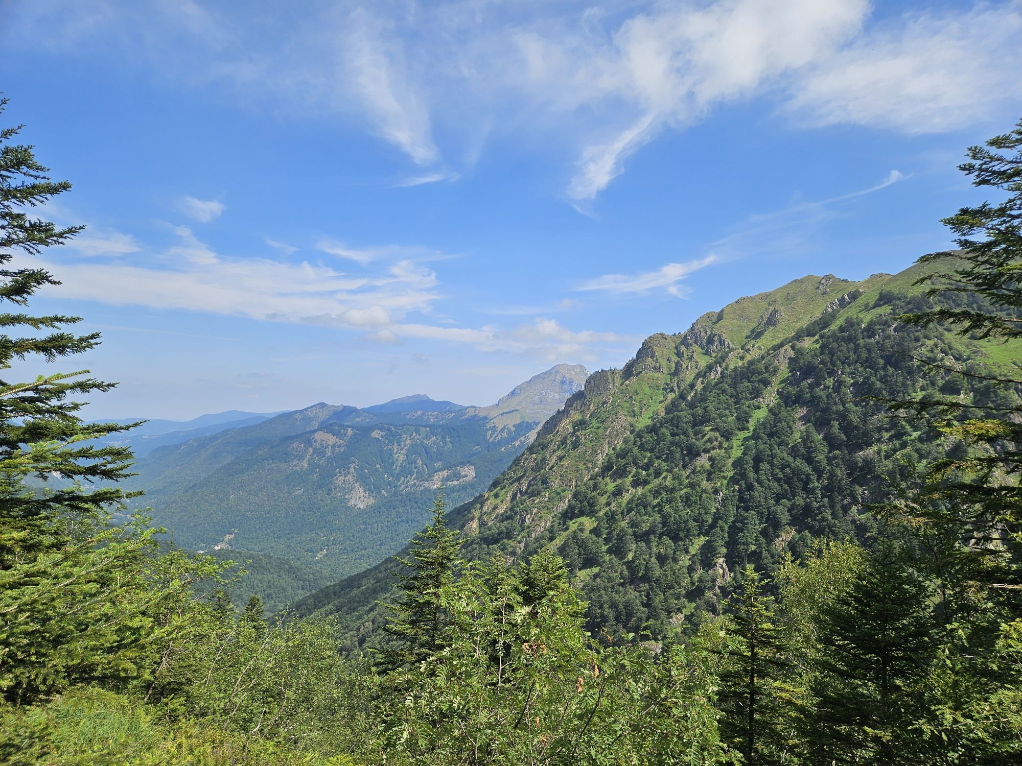
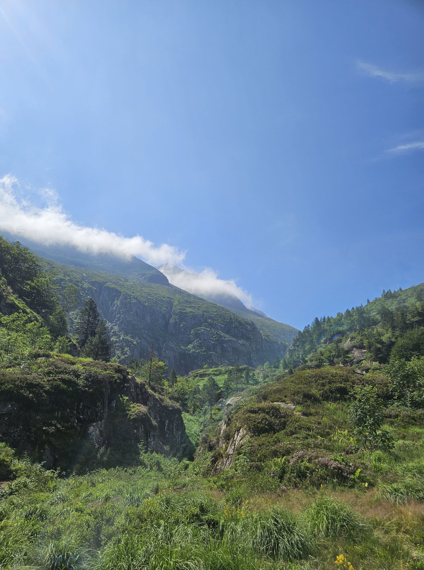
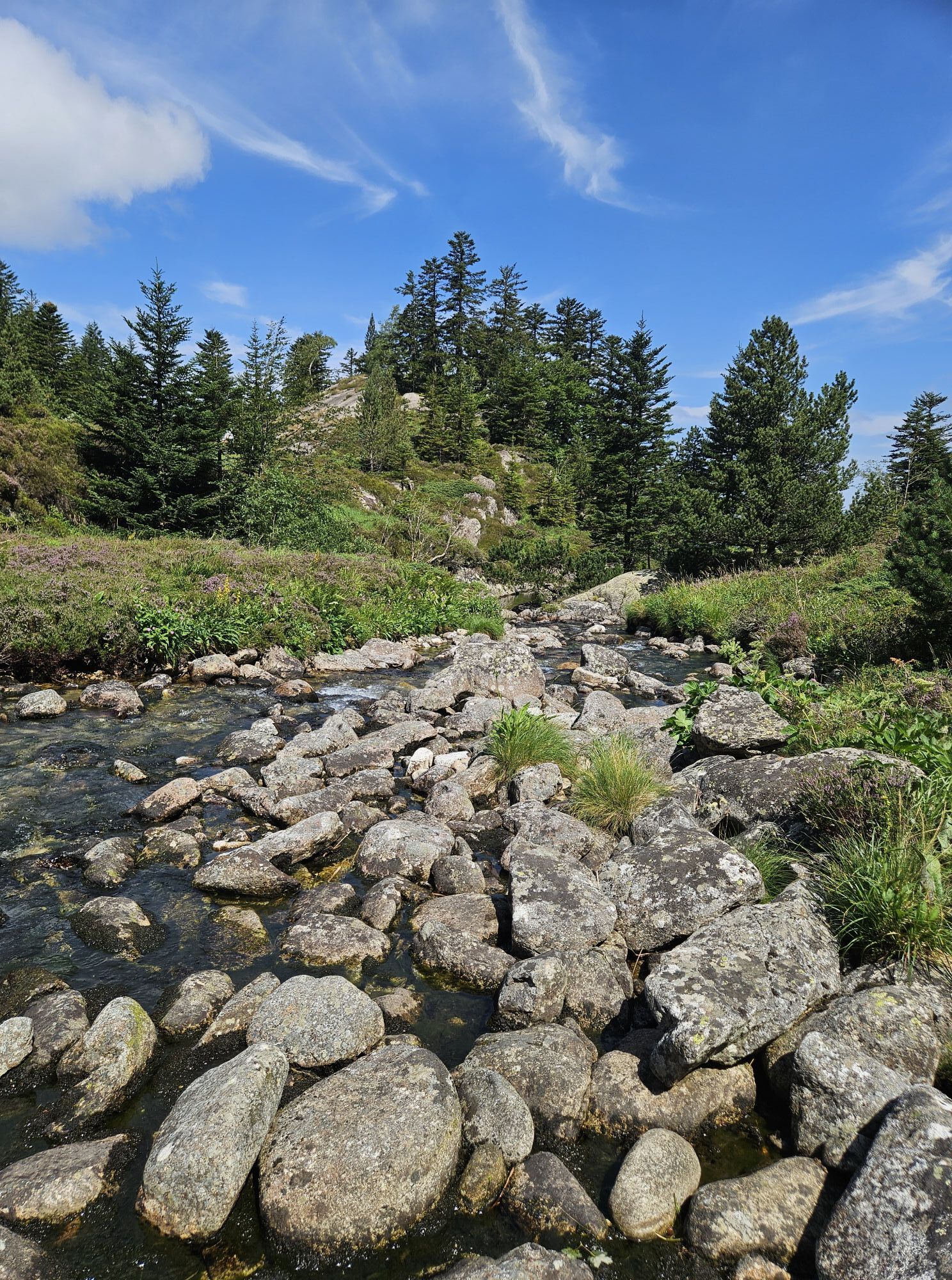
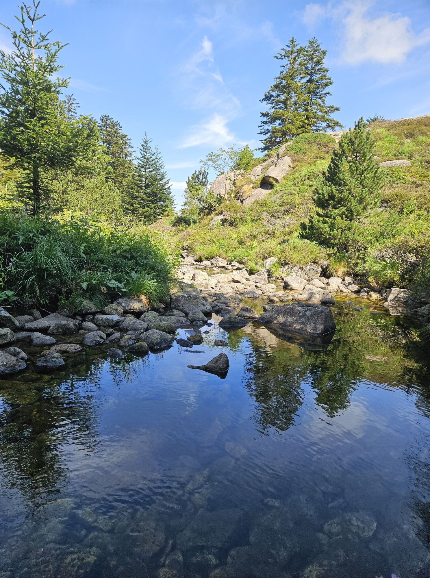
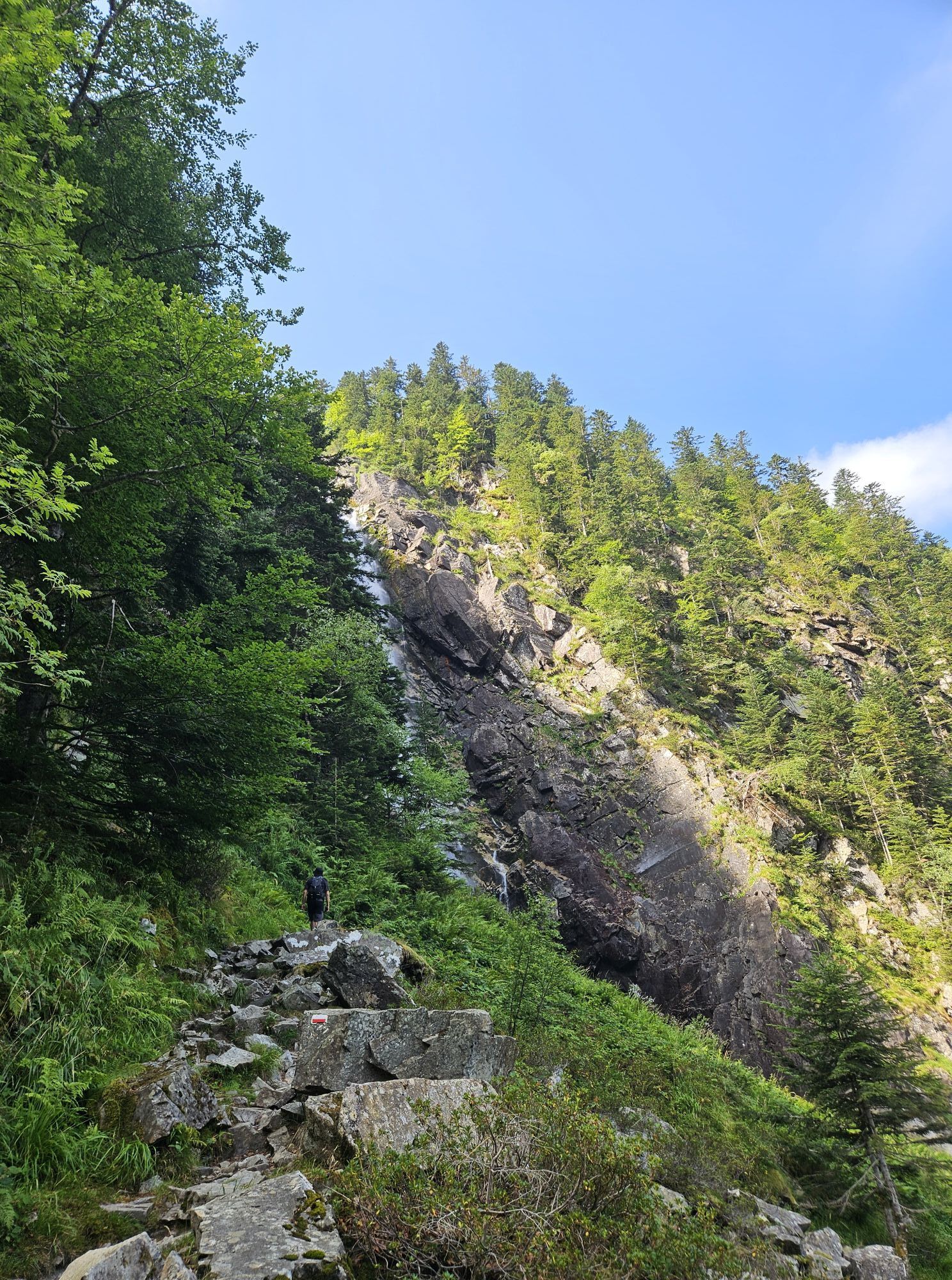
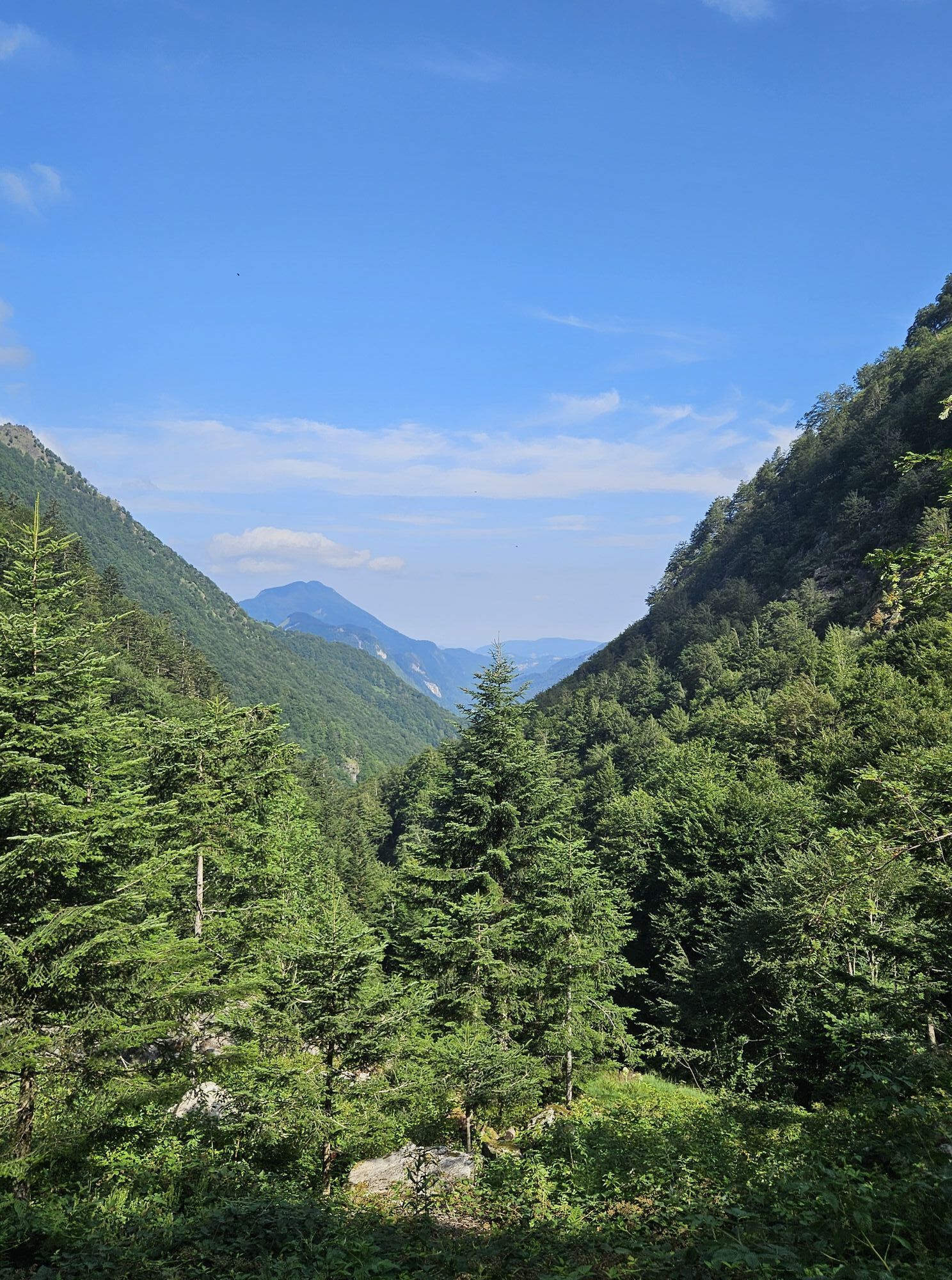
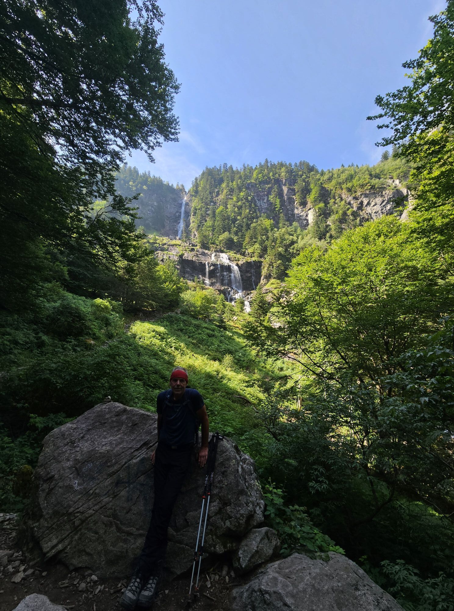
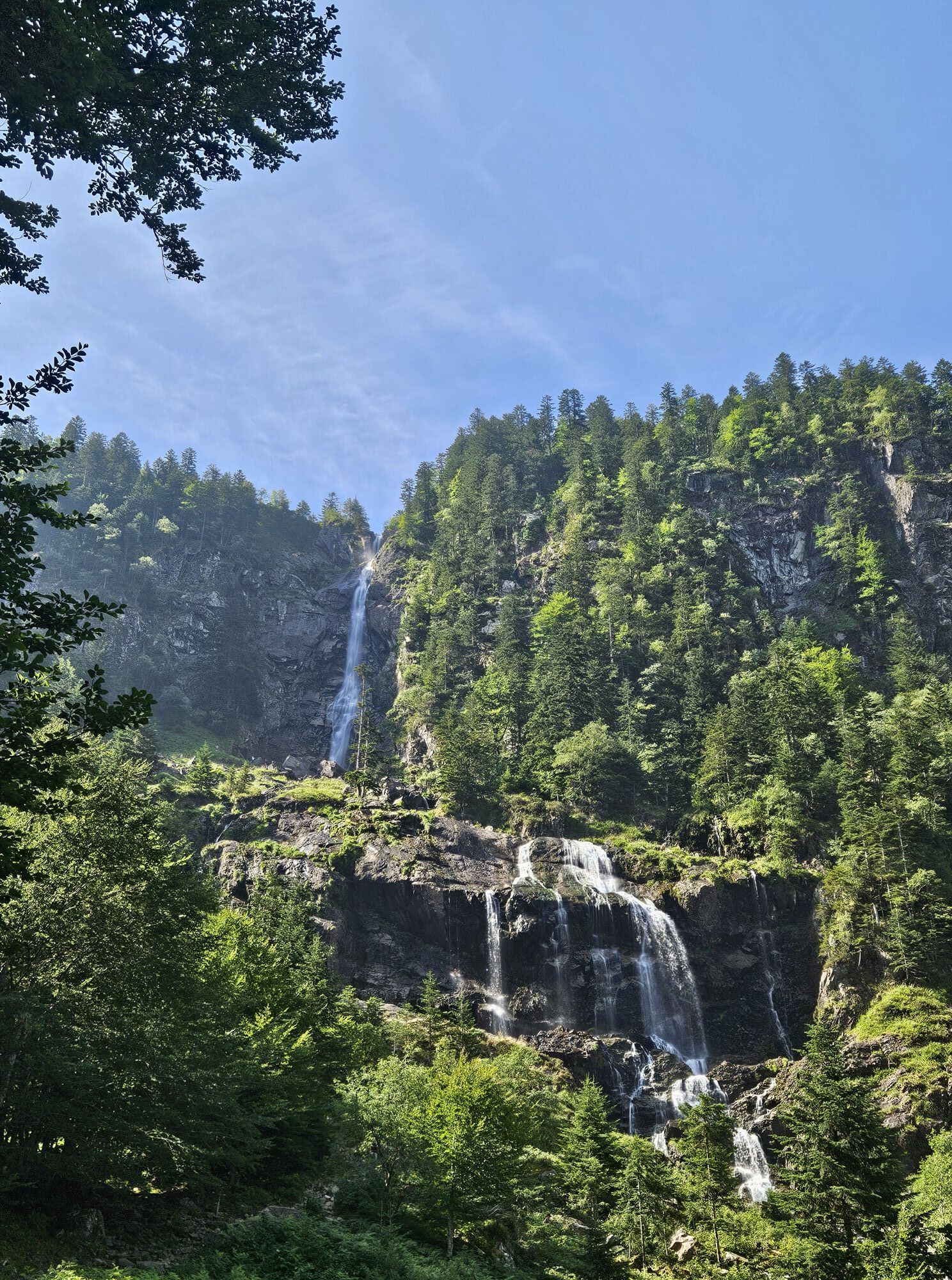
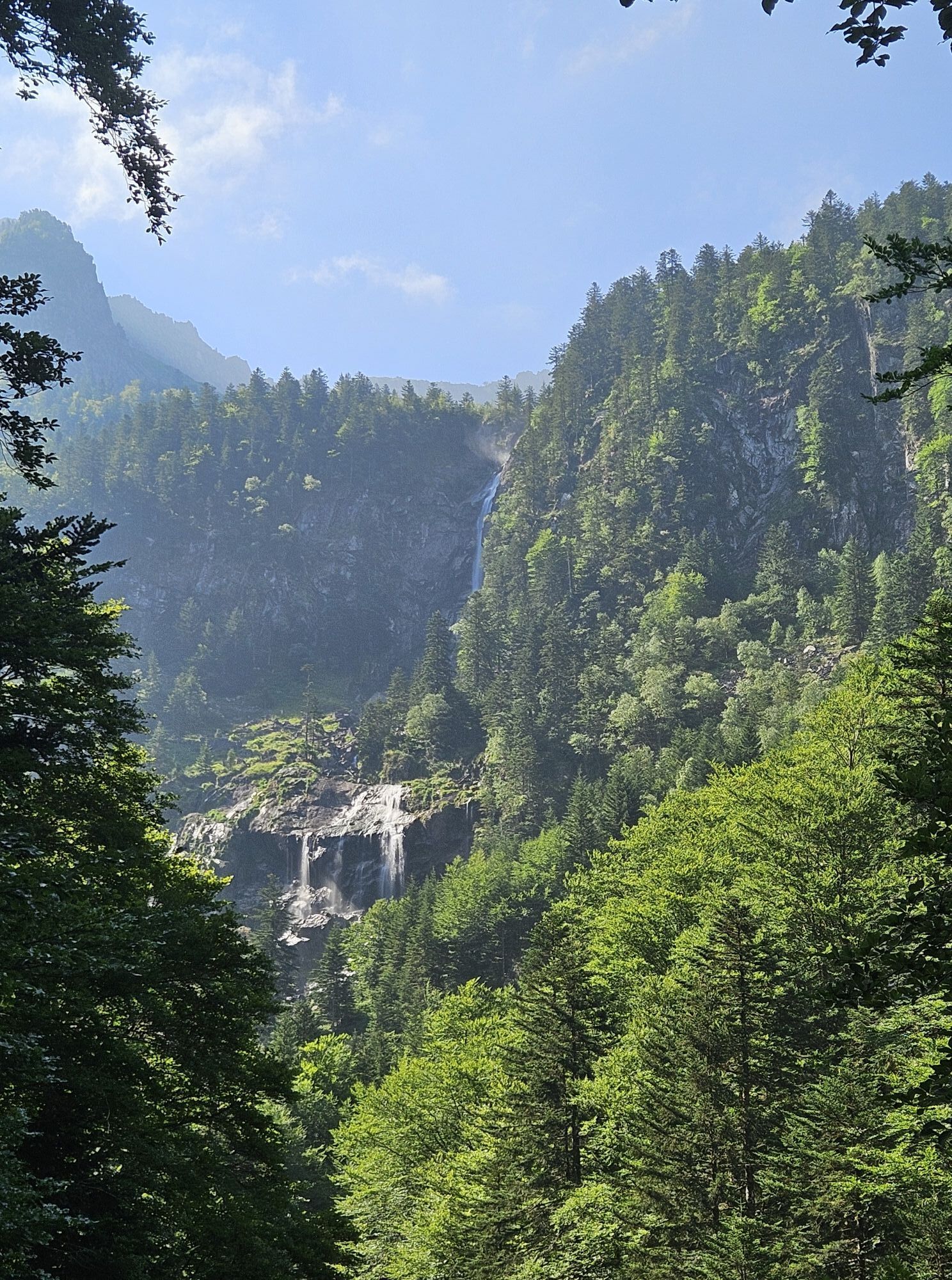
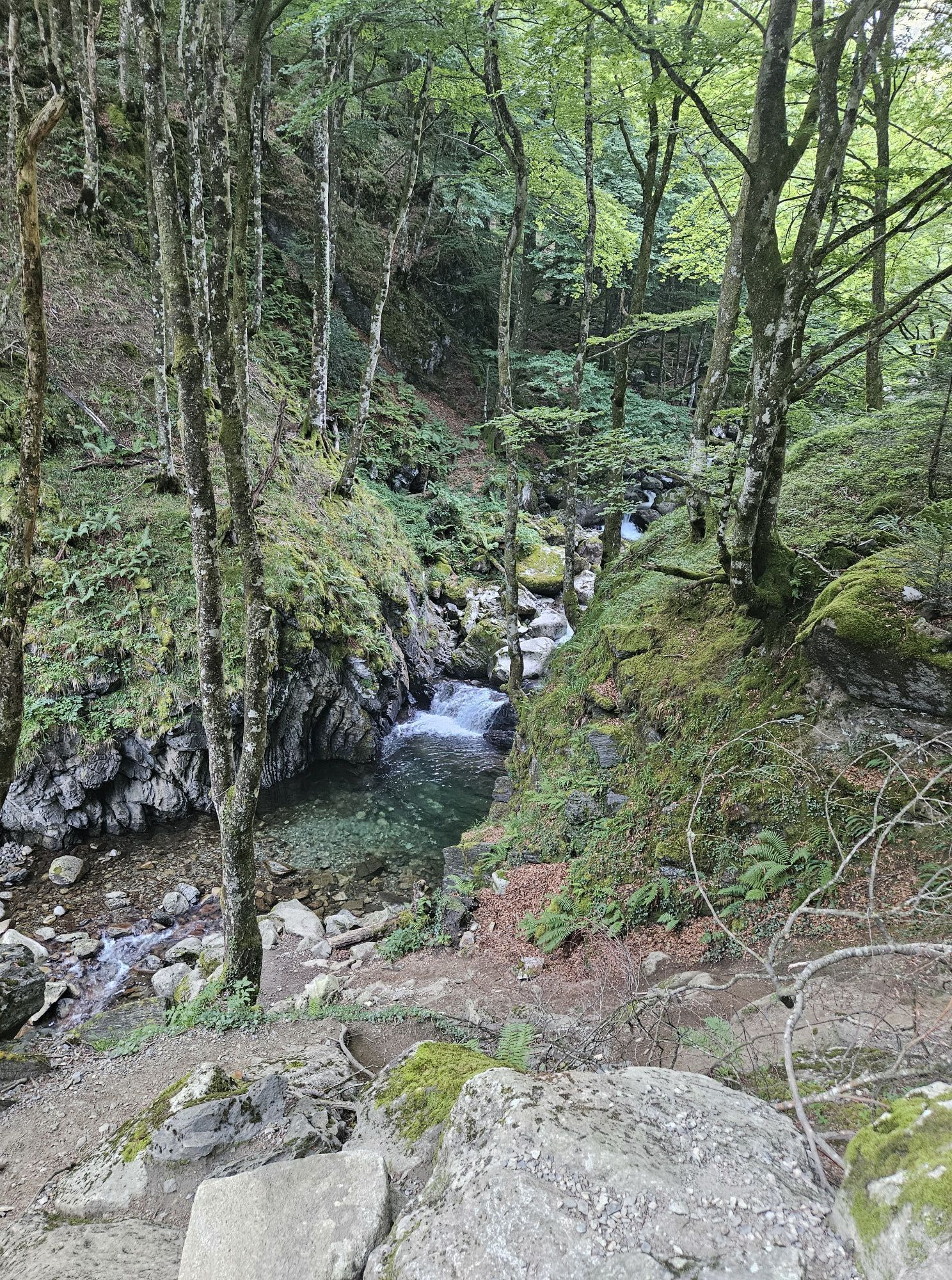
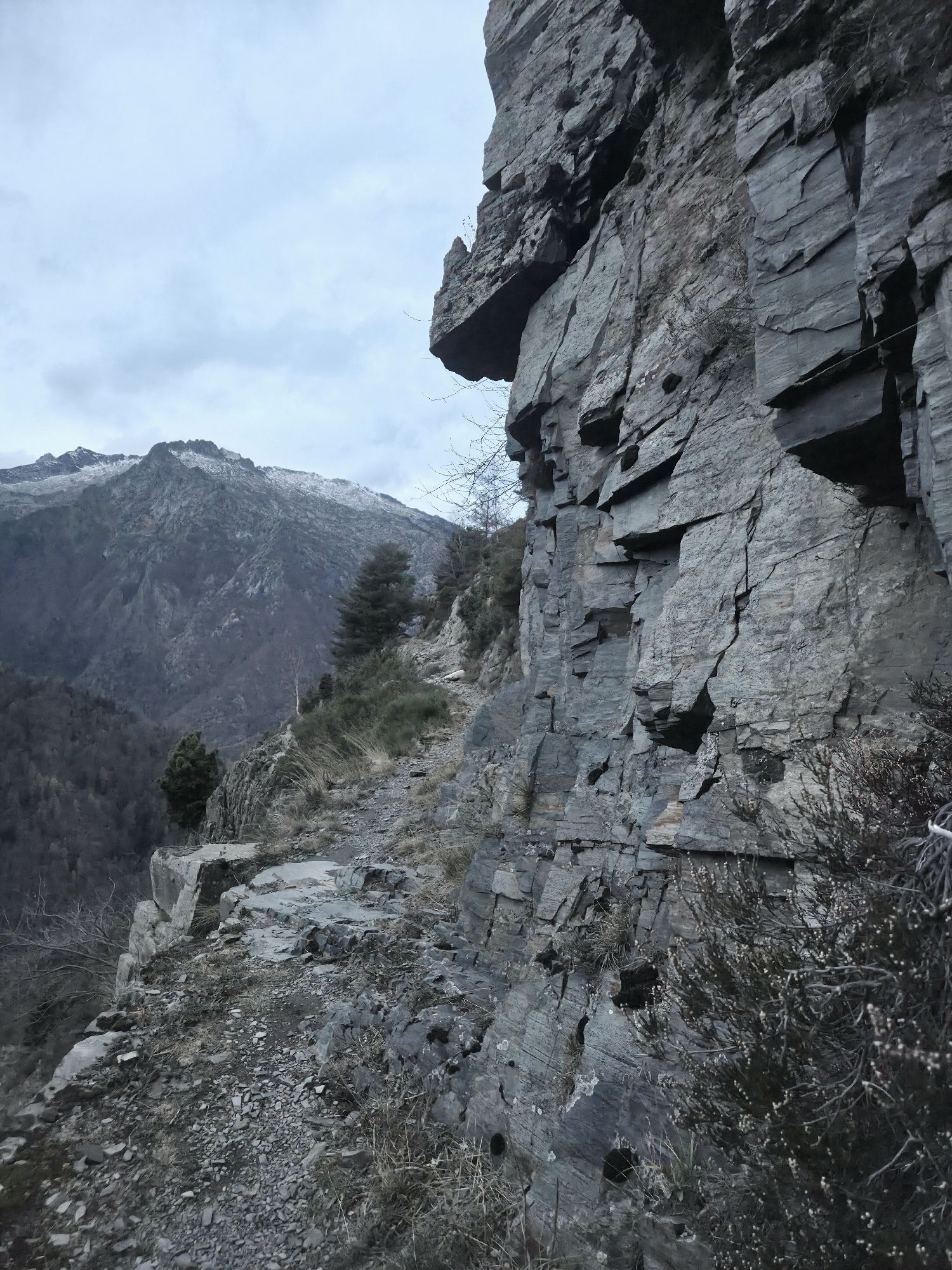
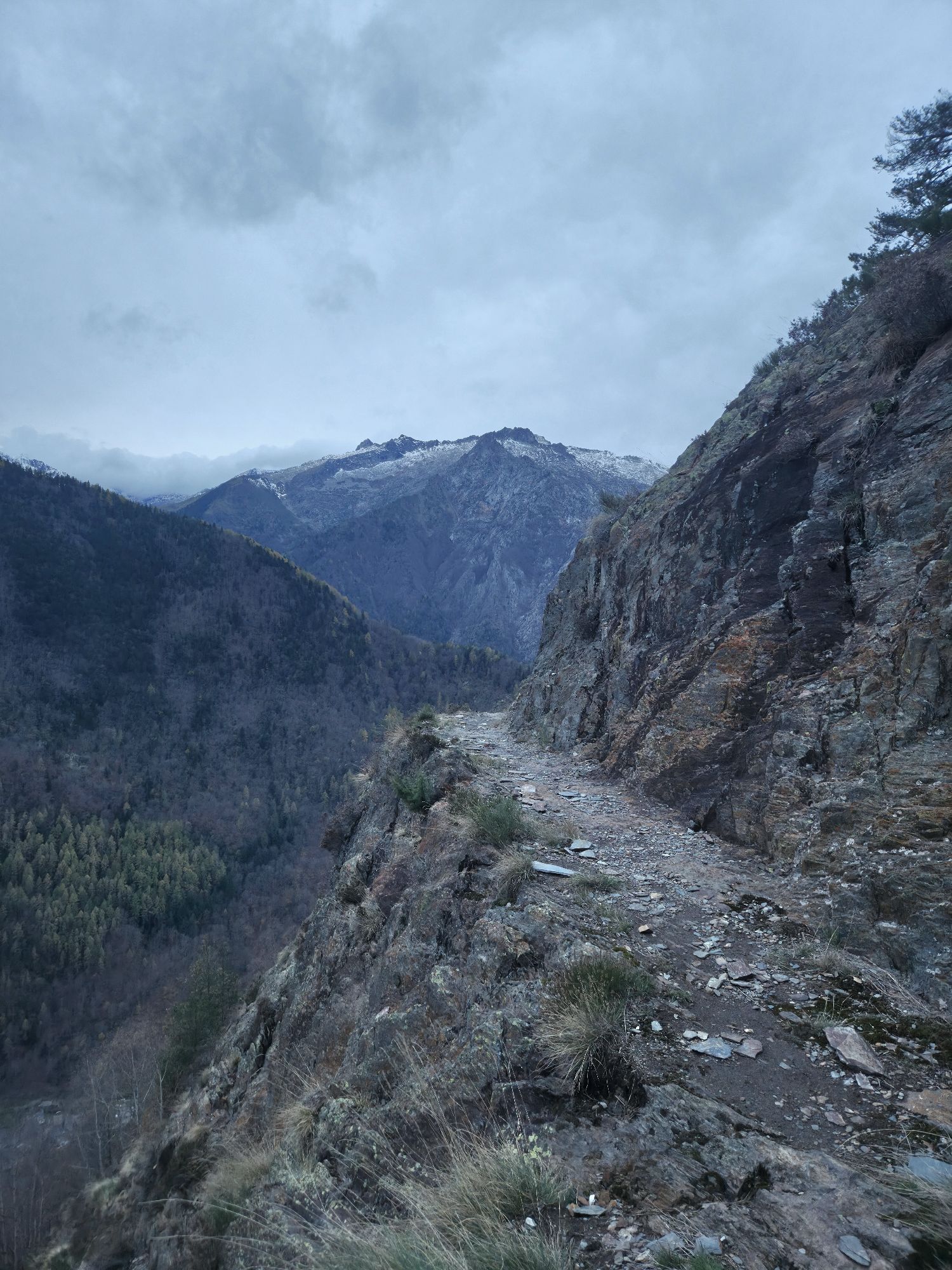
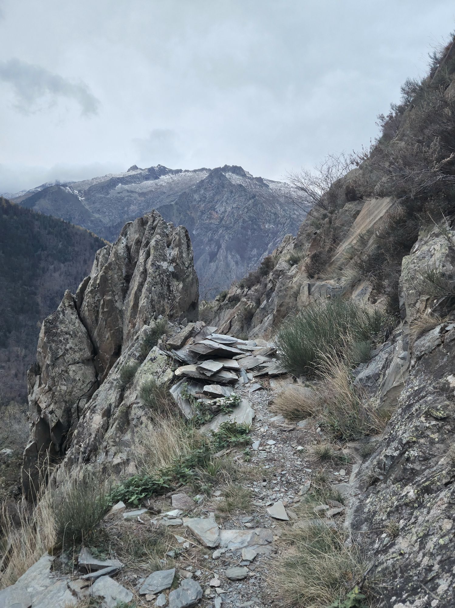
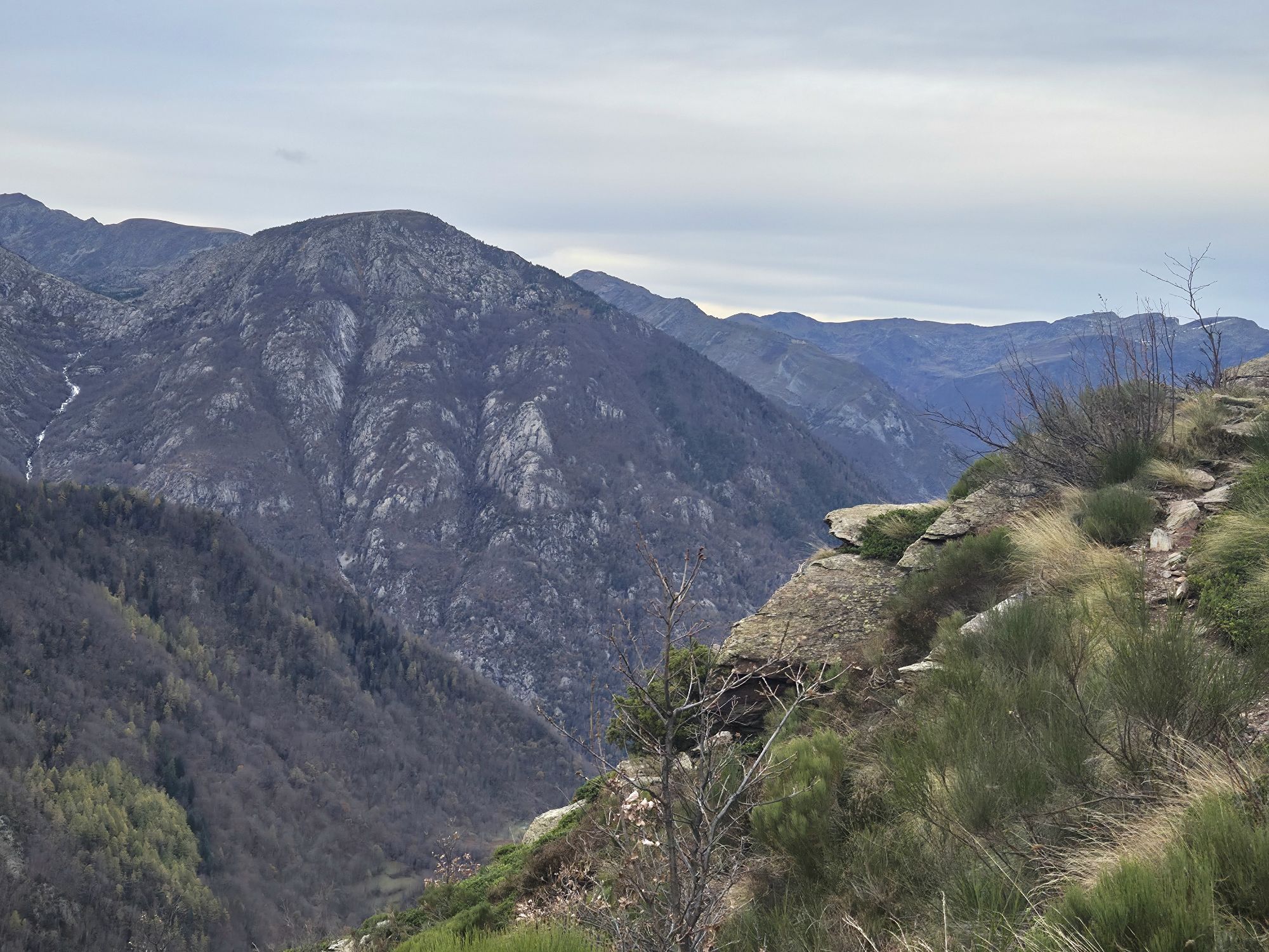
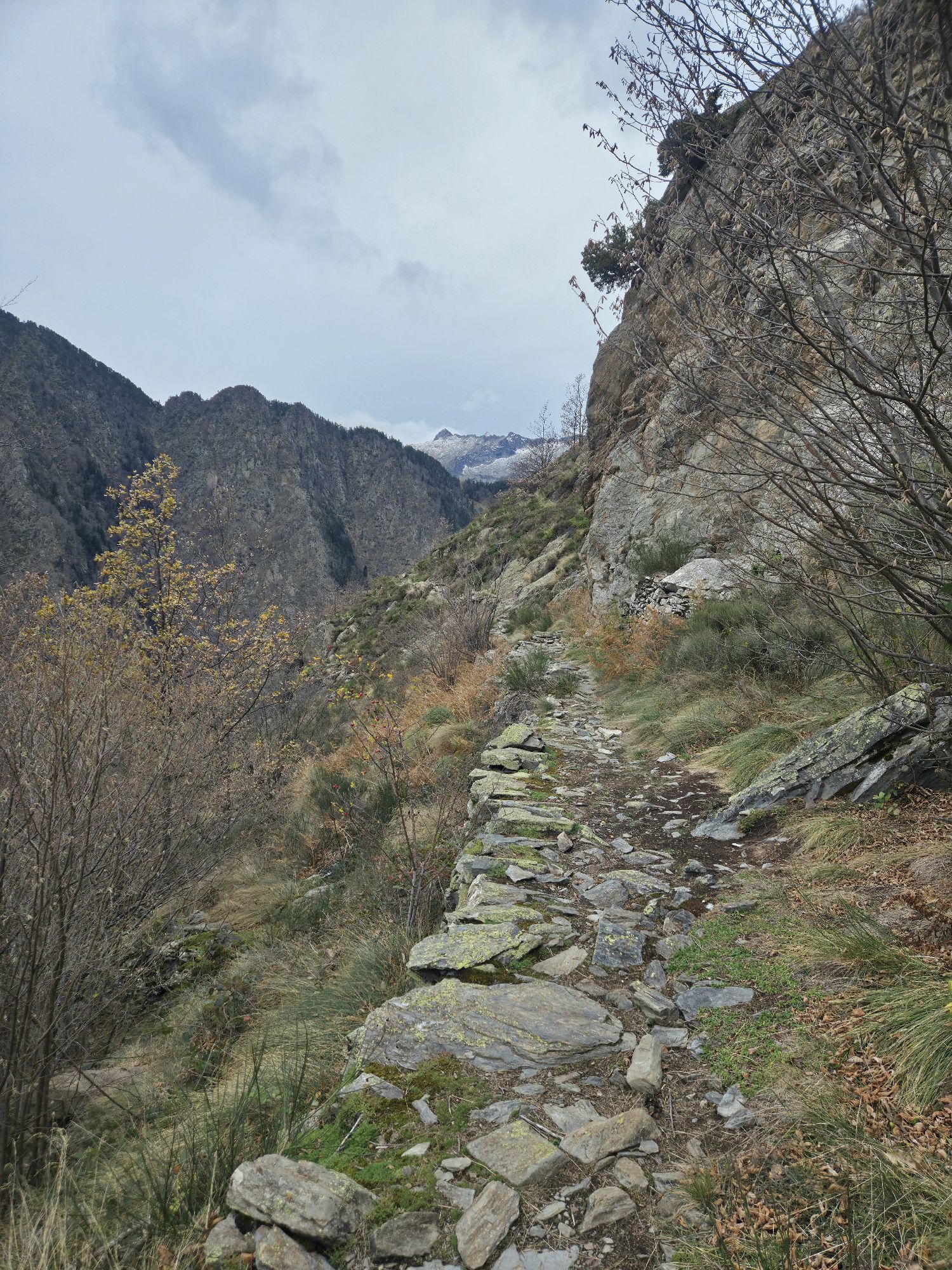
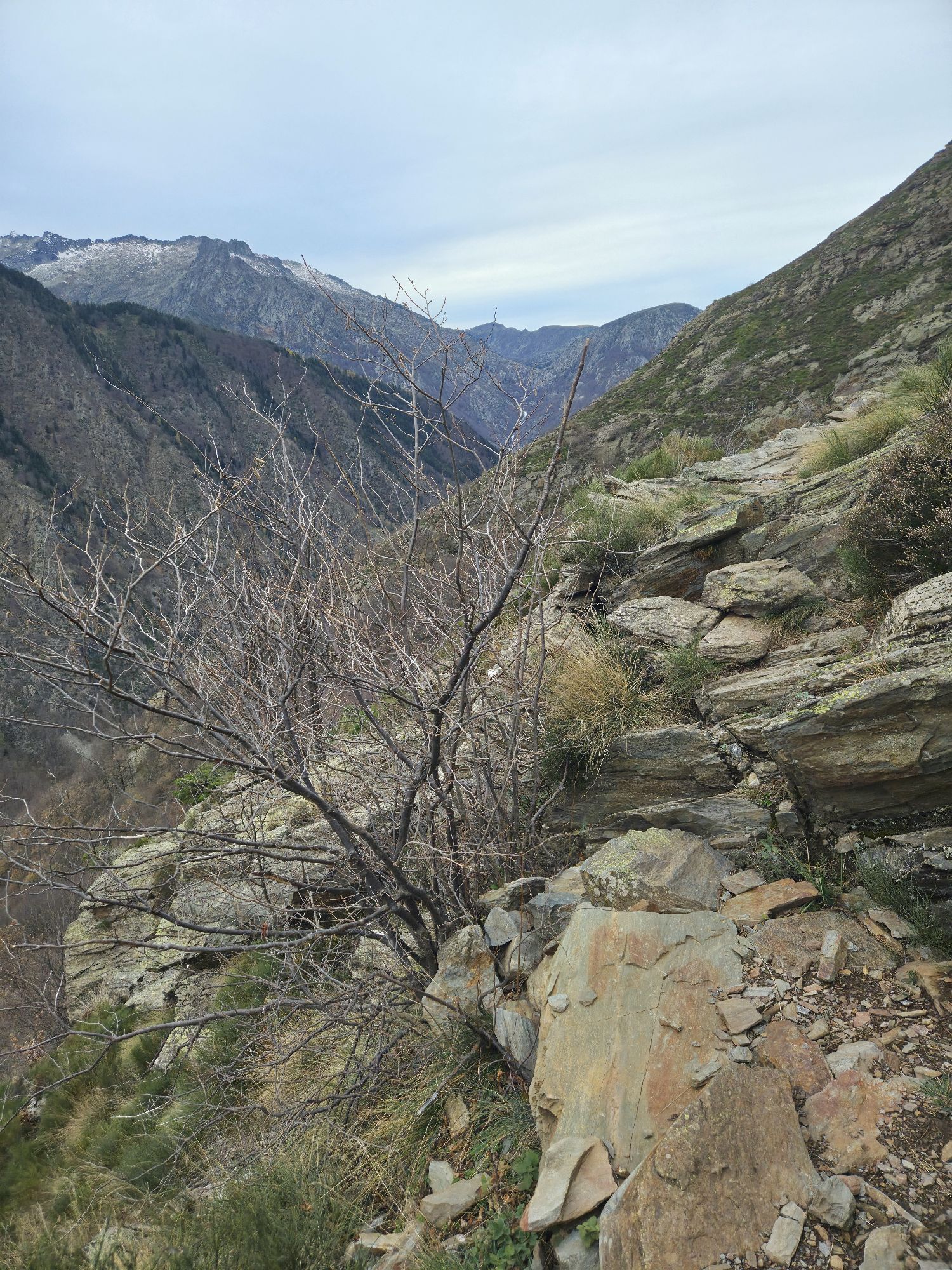
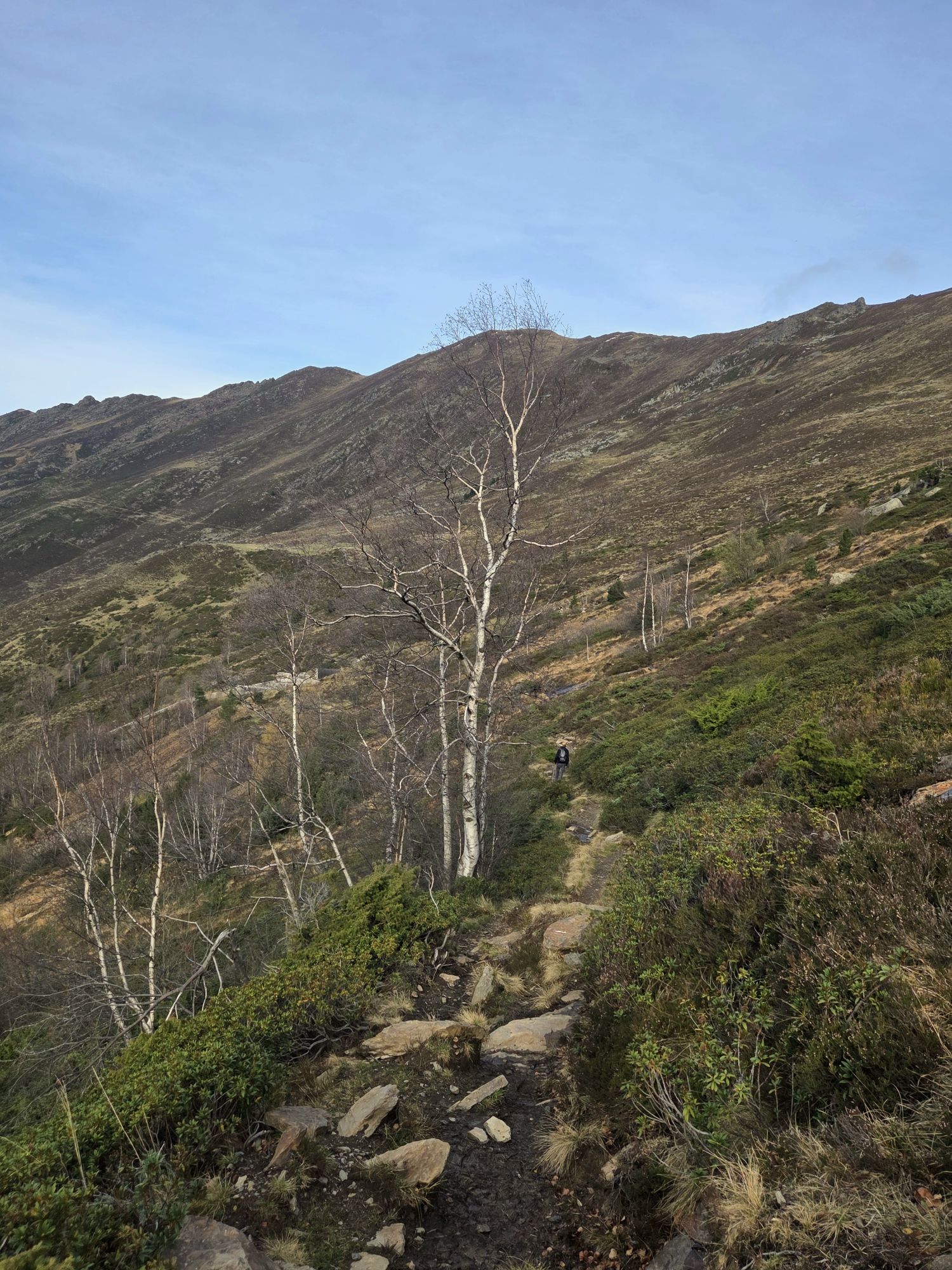
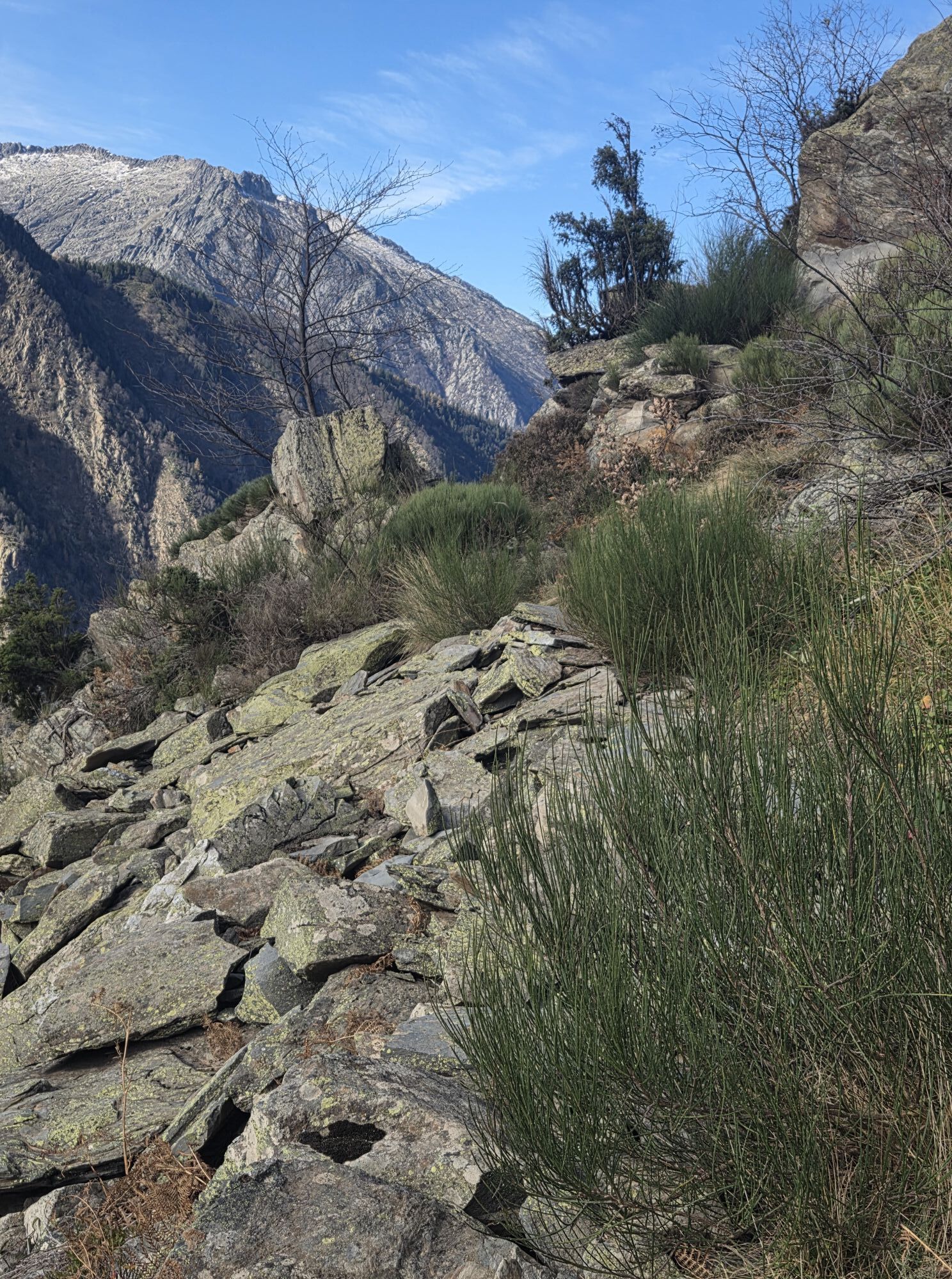
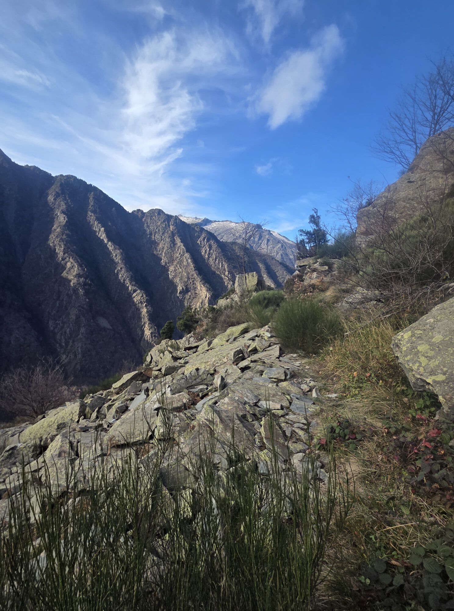
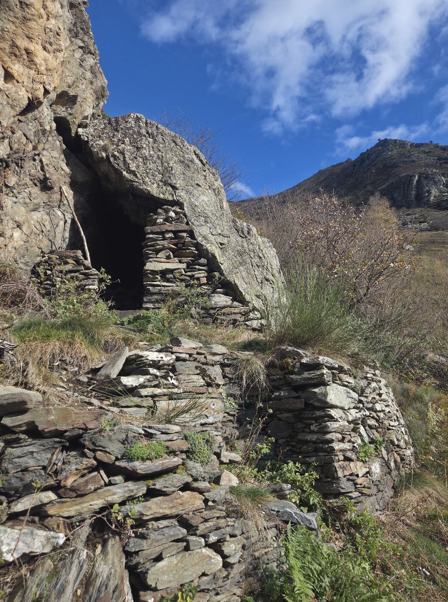
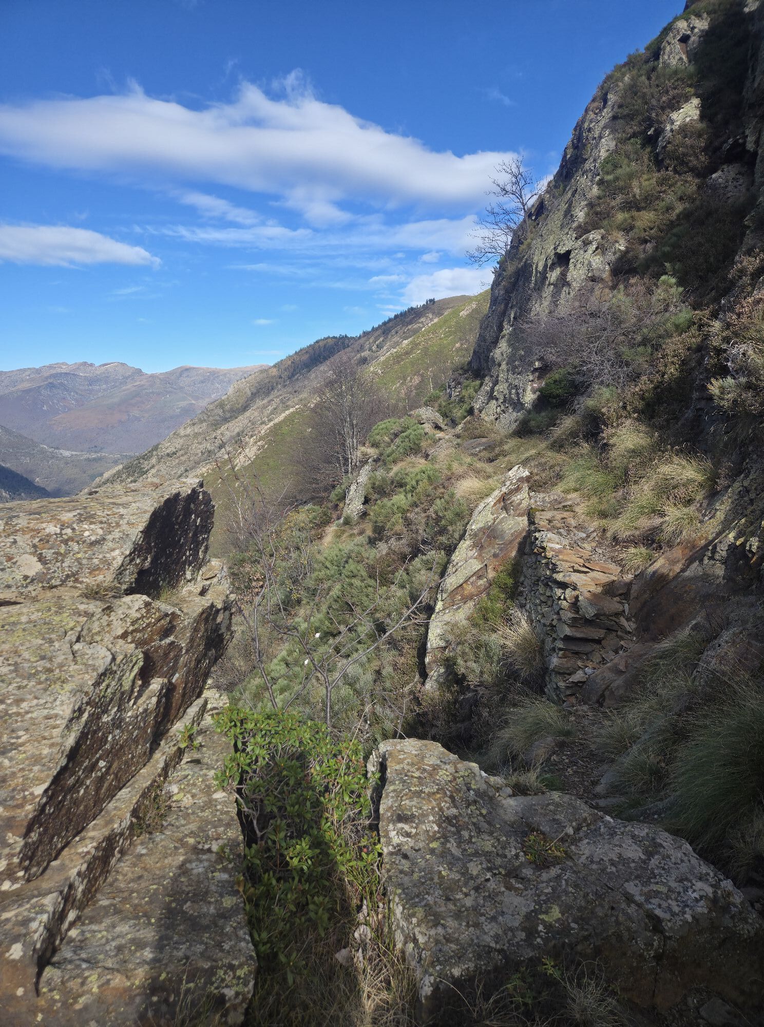
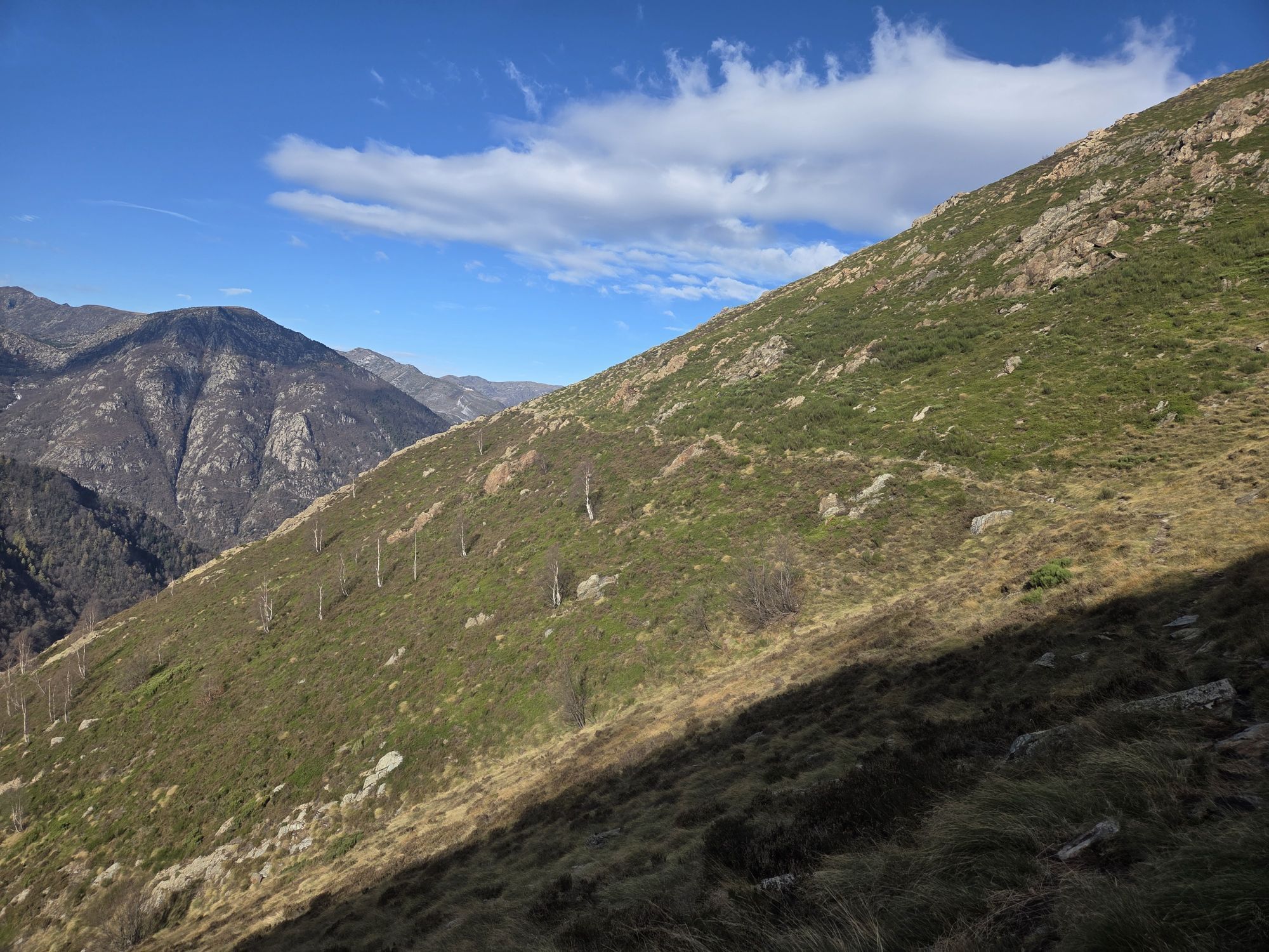
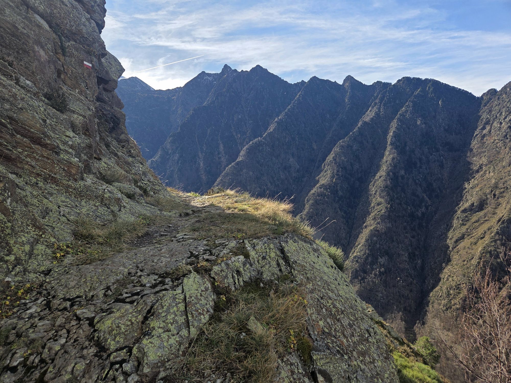
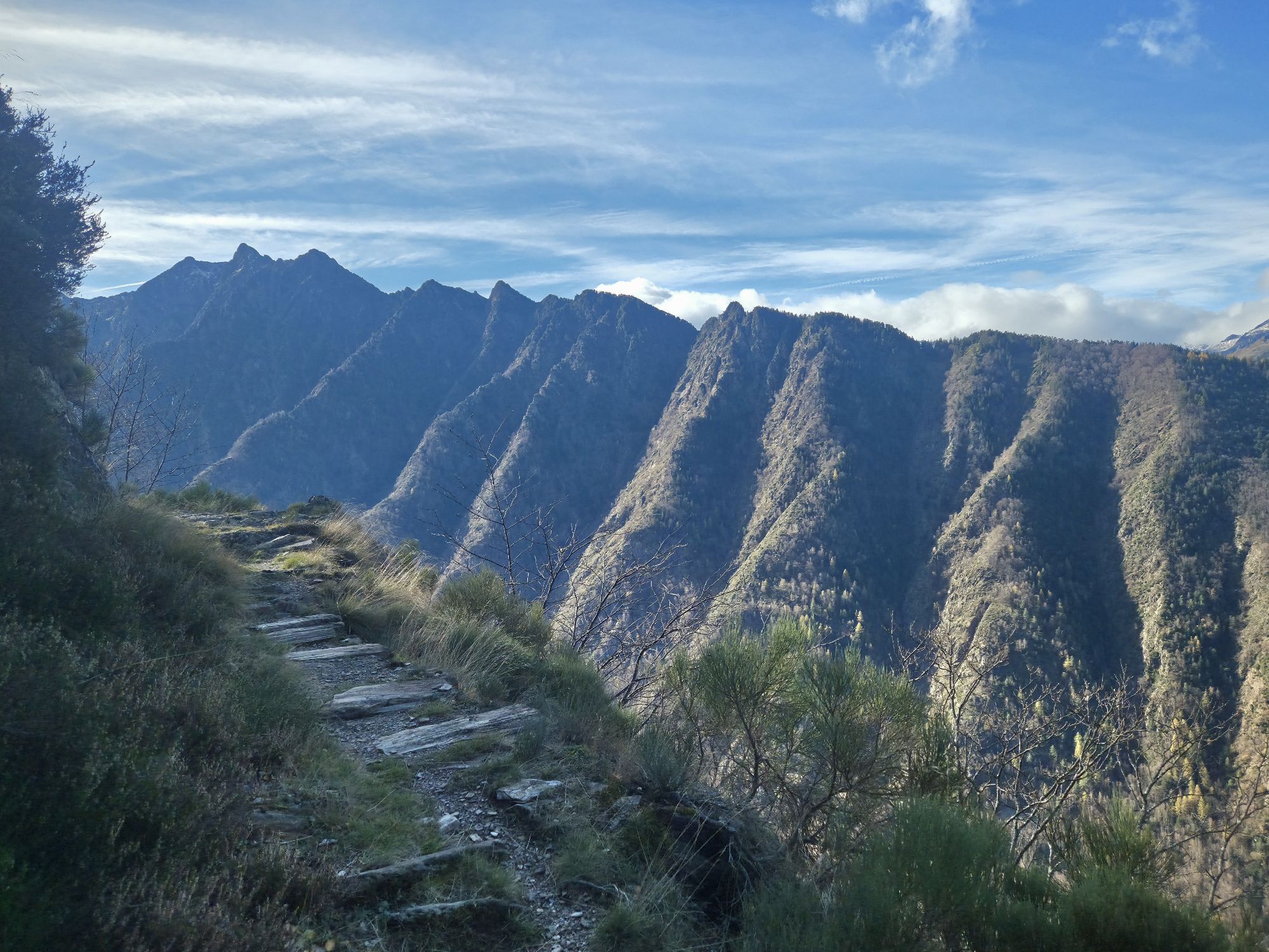
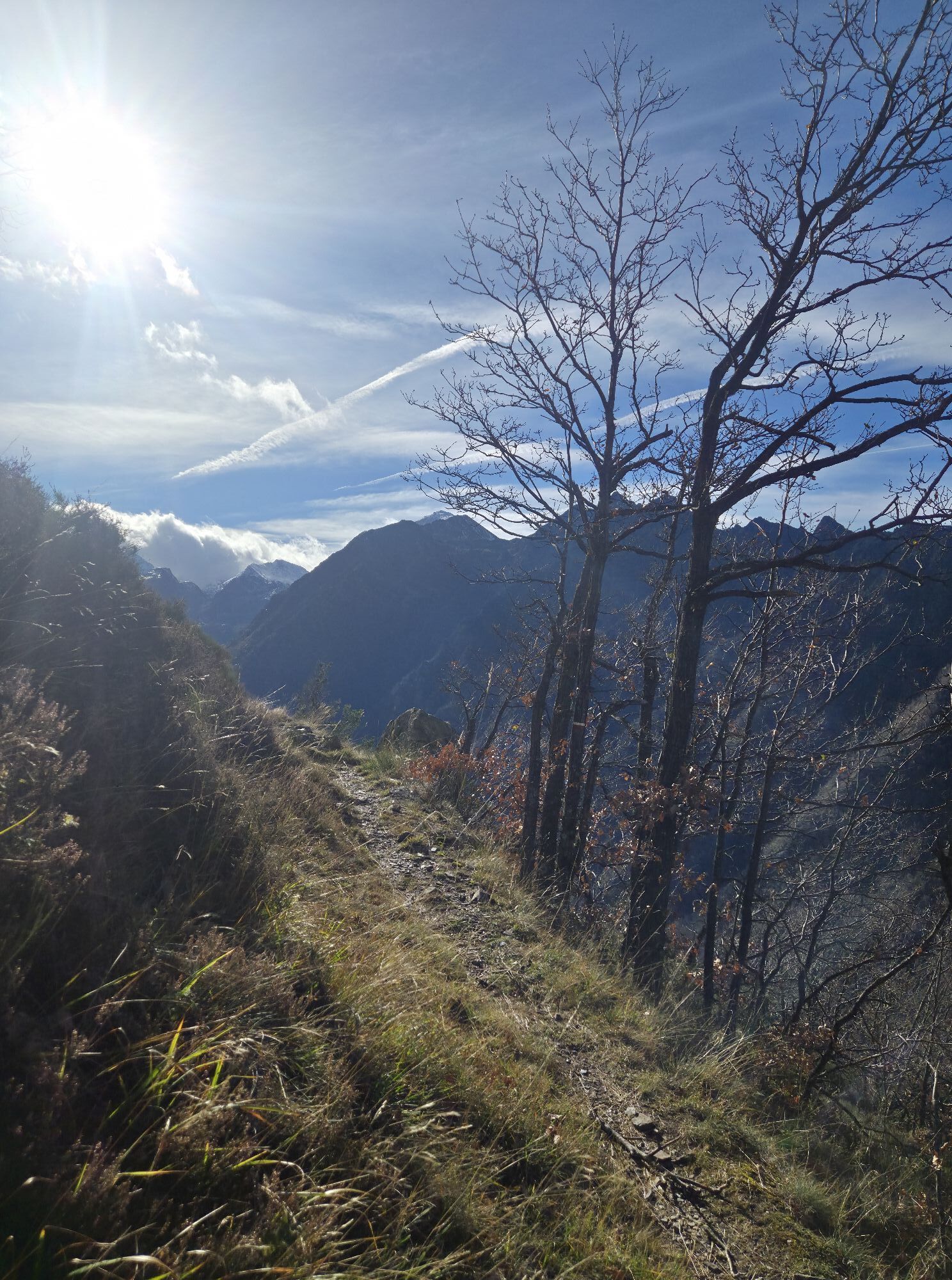
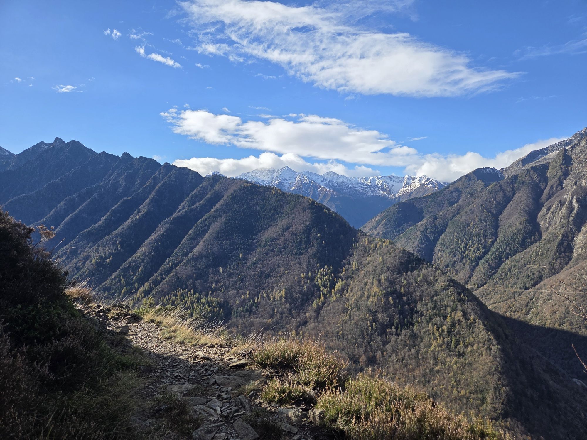
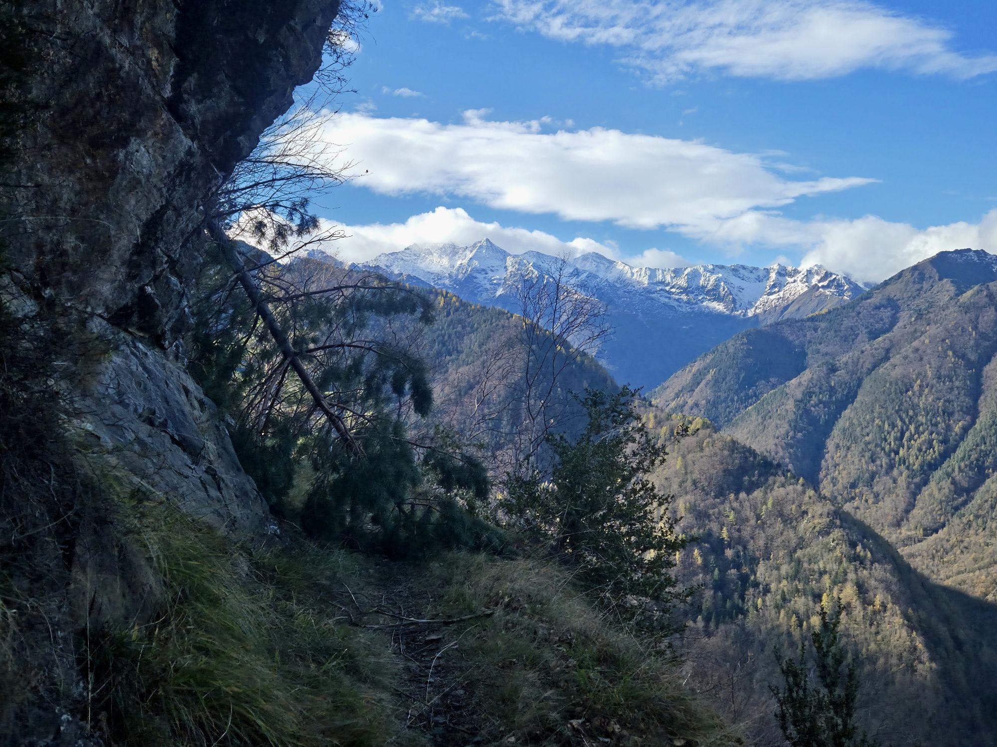
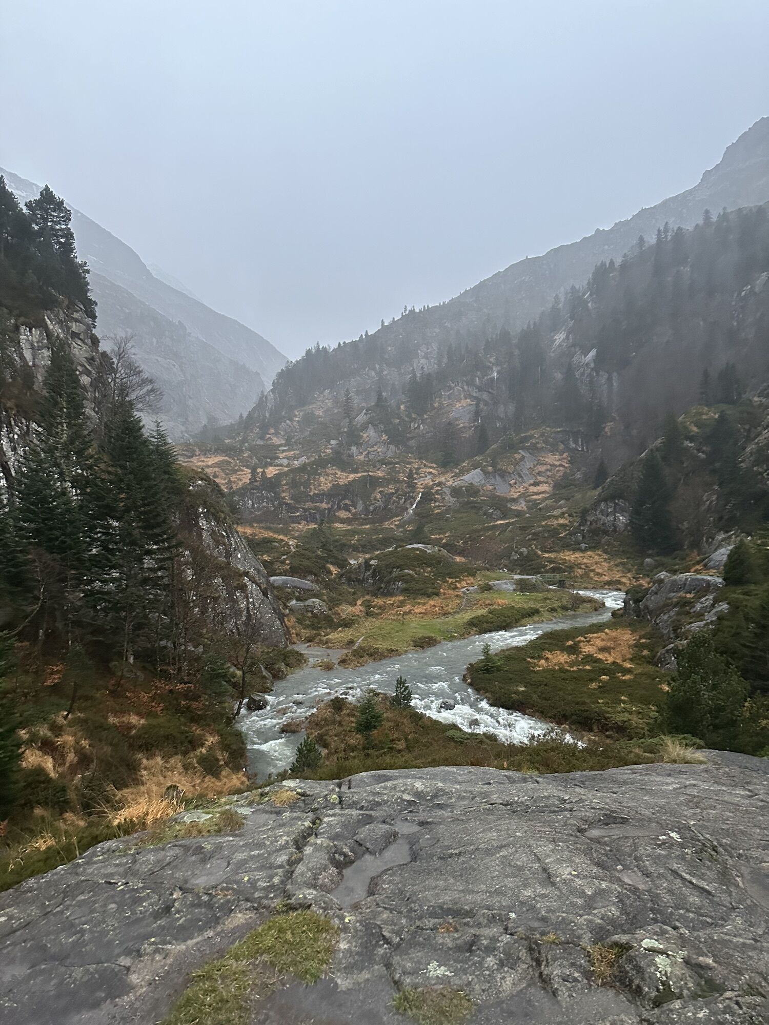
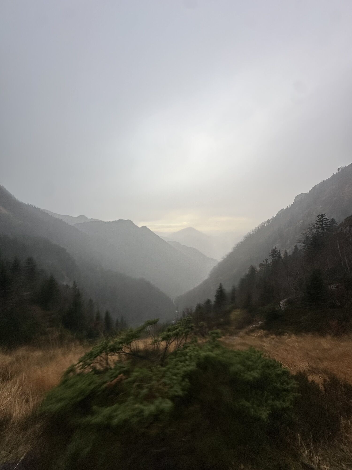
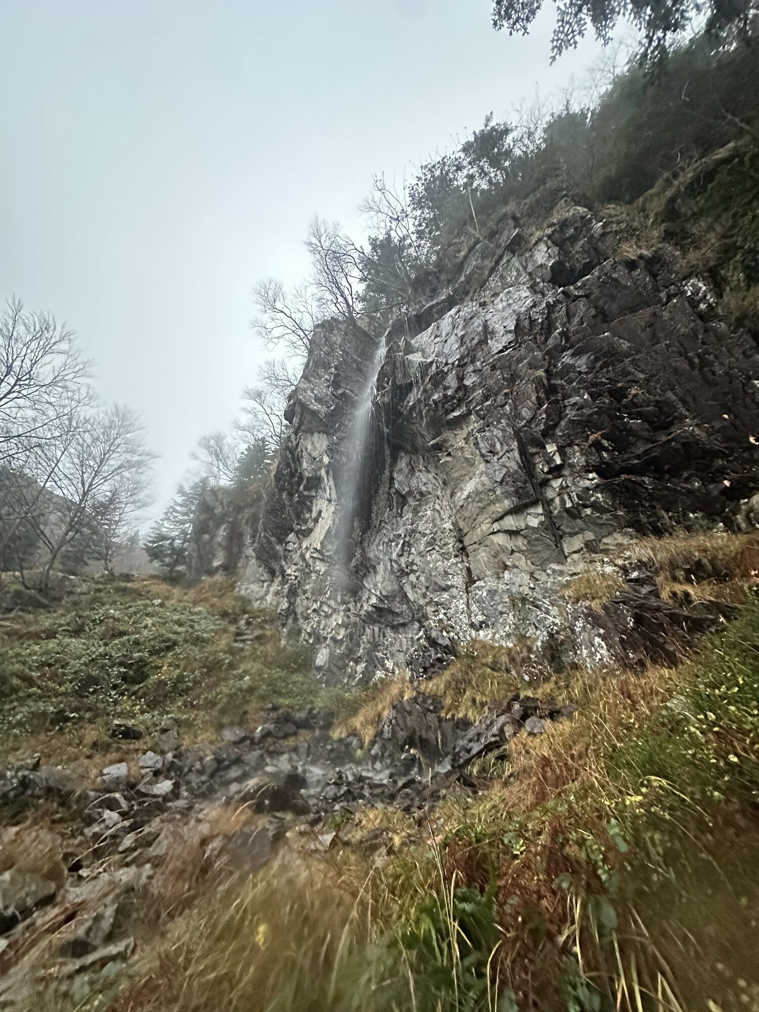
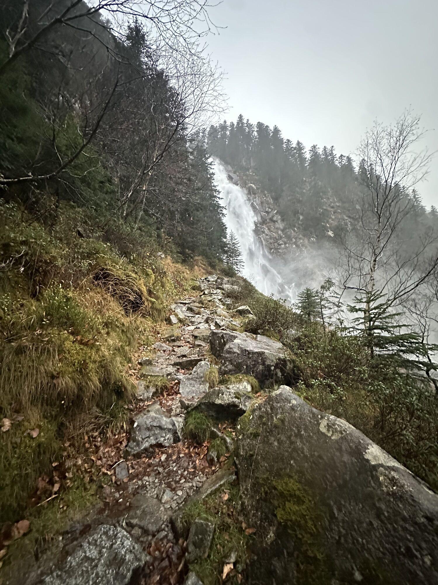
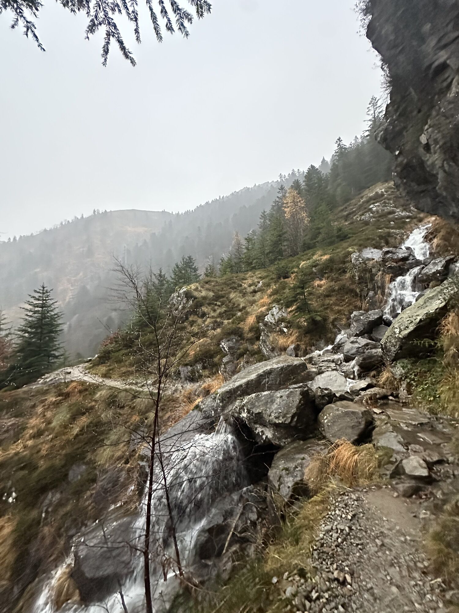
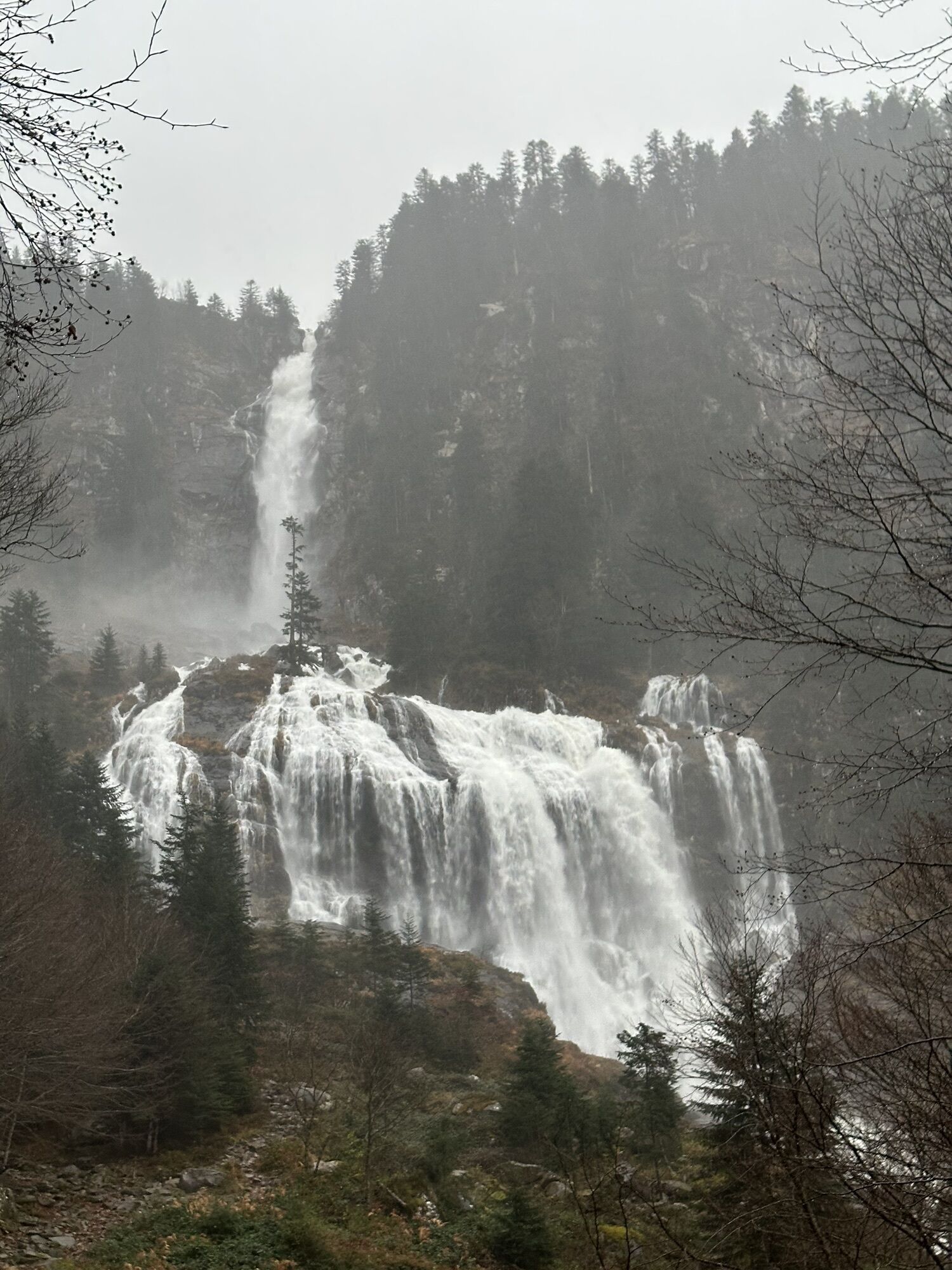
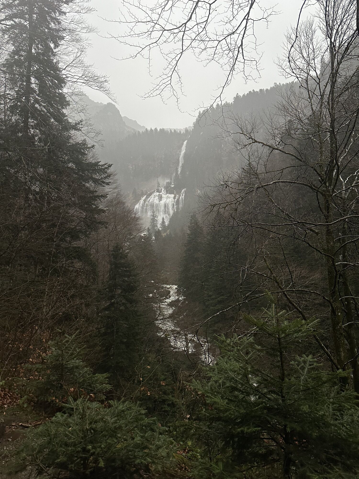
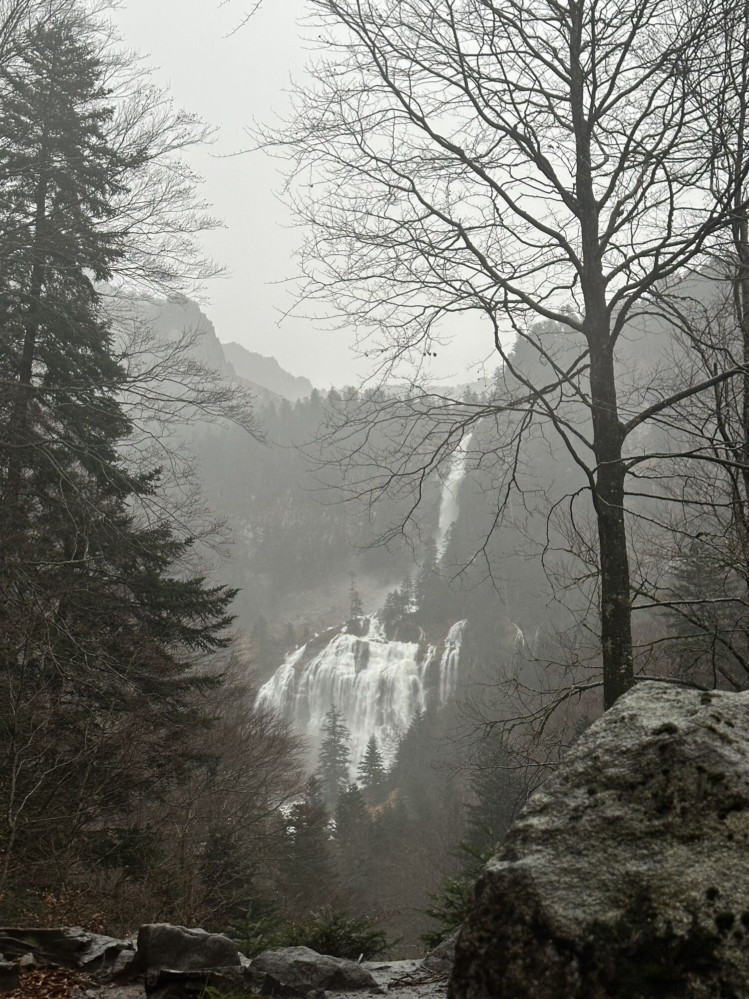
The great crossing of the Pyrenees (GR®10) is surprising and remarkable, both in the variety of landscapes, the most beautiful viewpoints, the most beautiful valleys and villages of the Pyrenees. This...
Opis
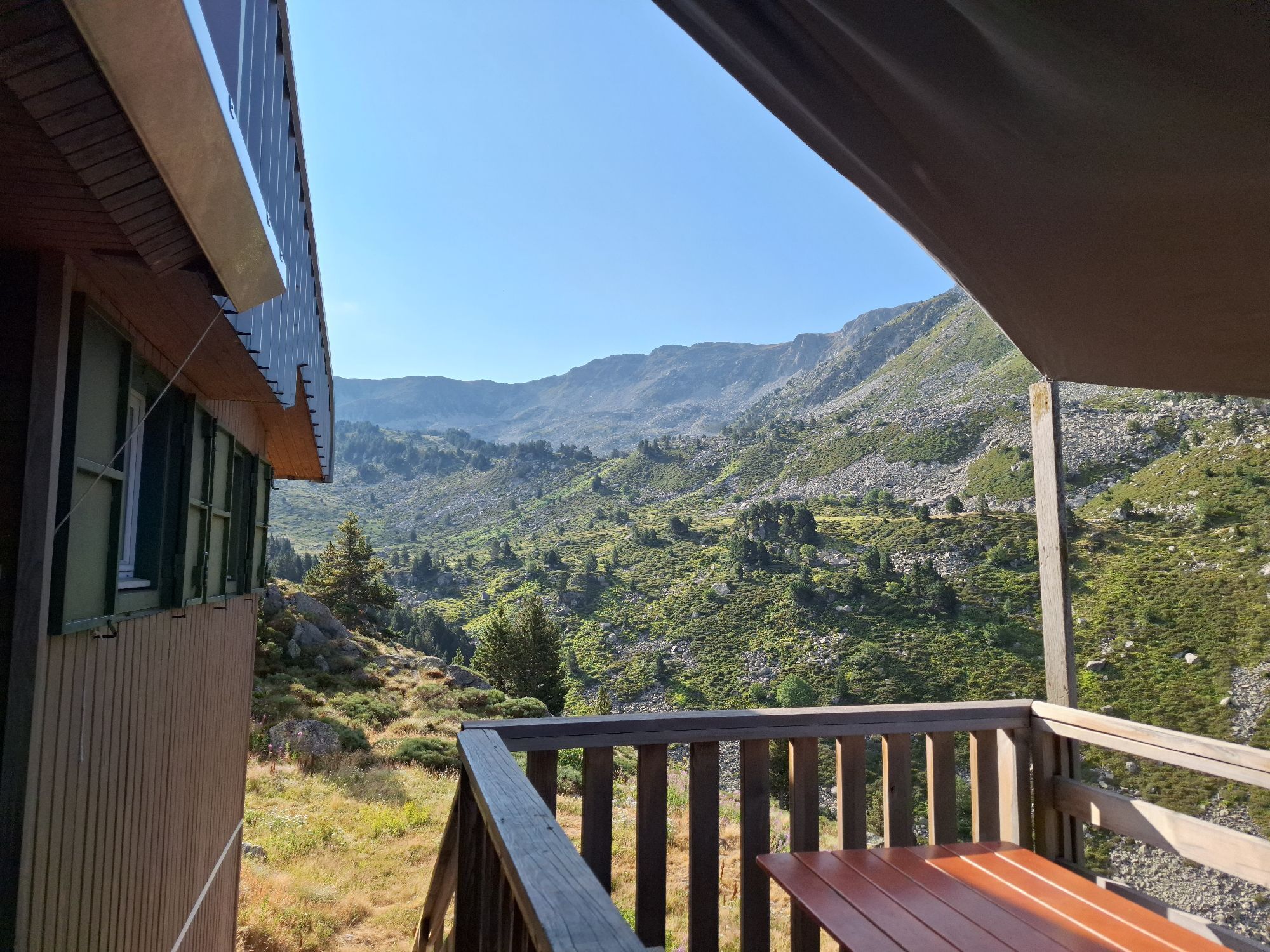
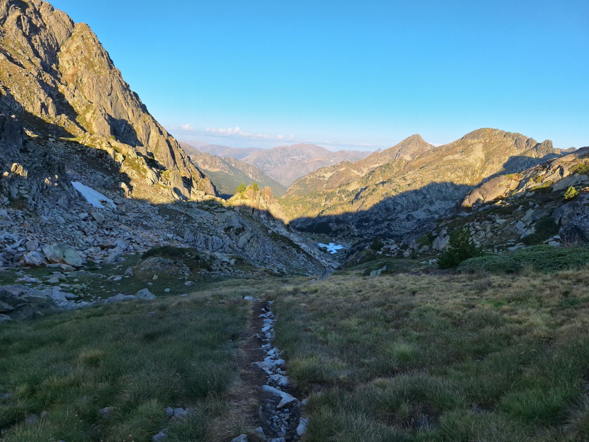
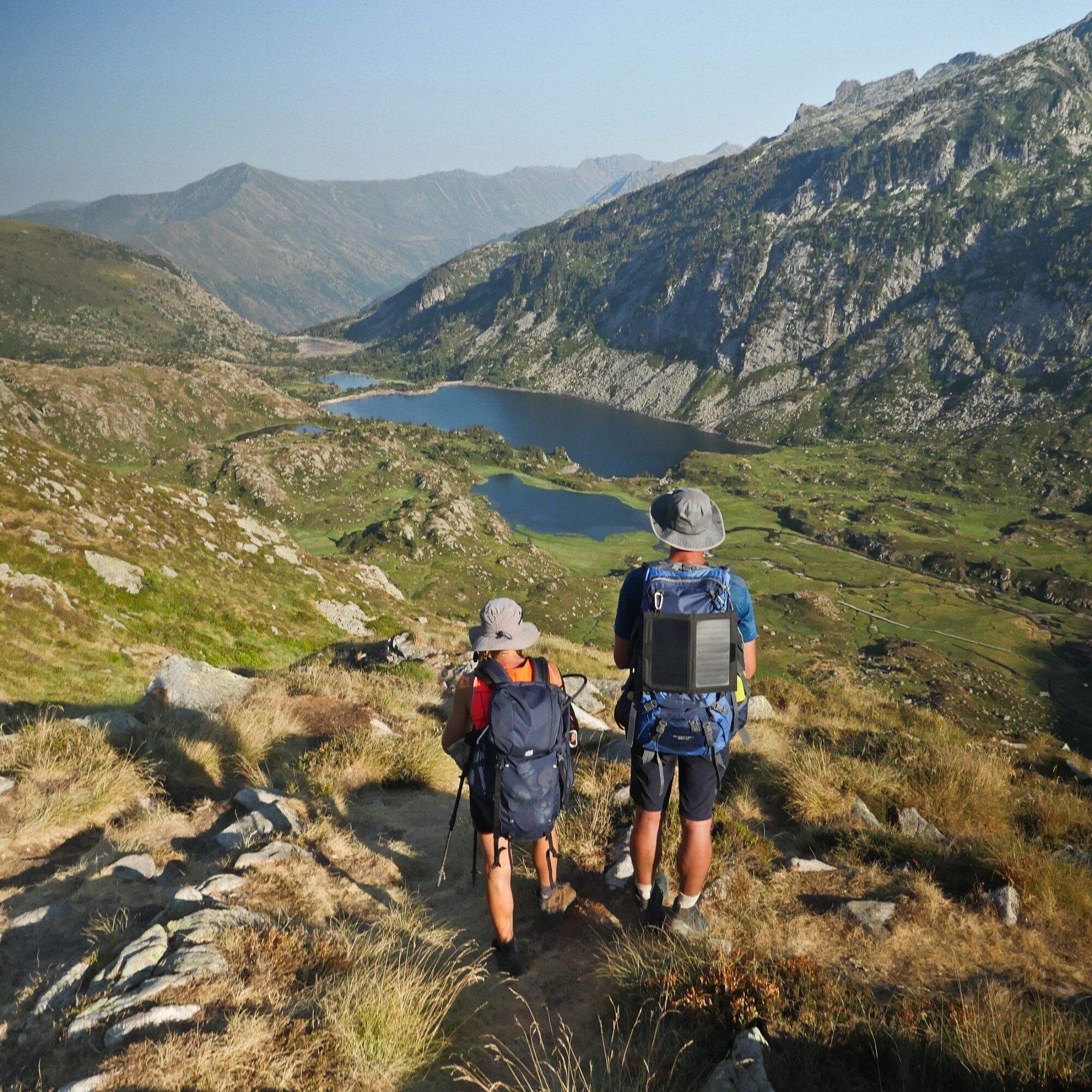
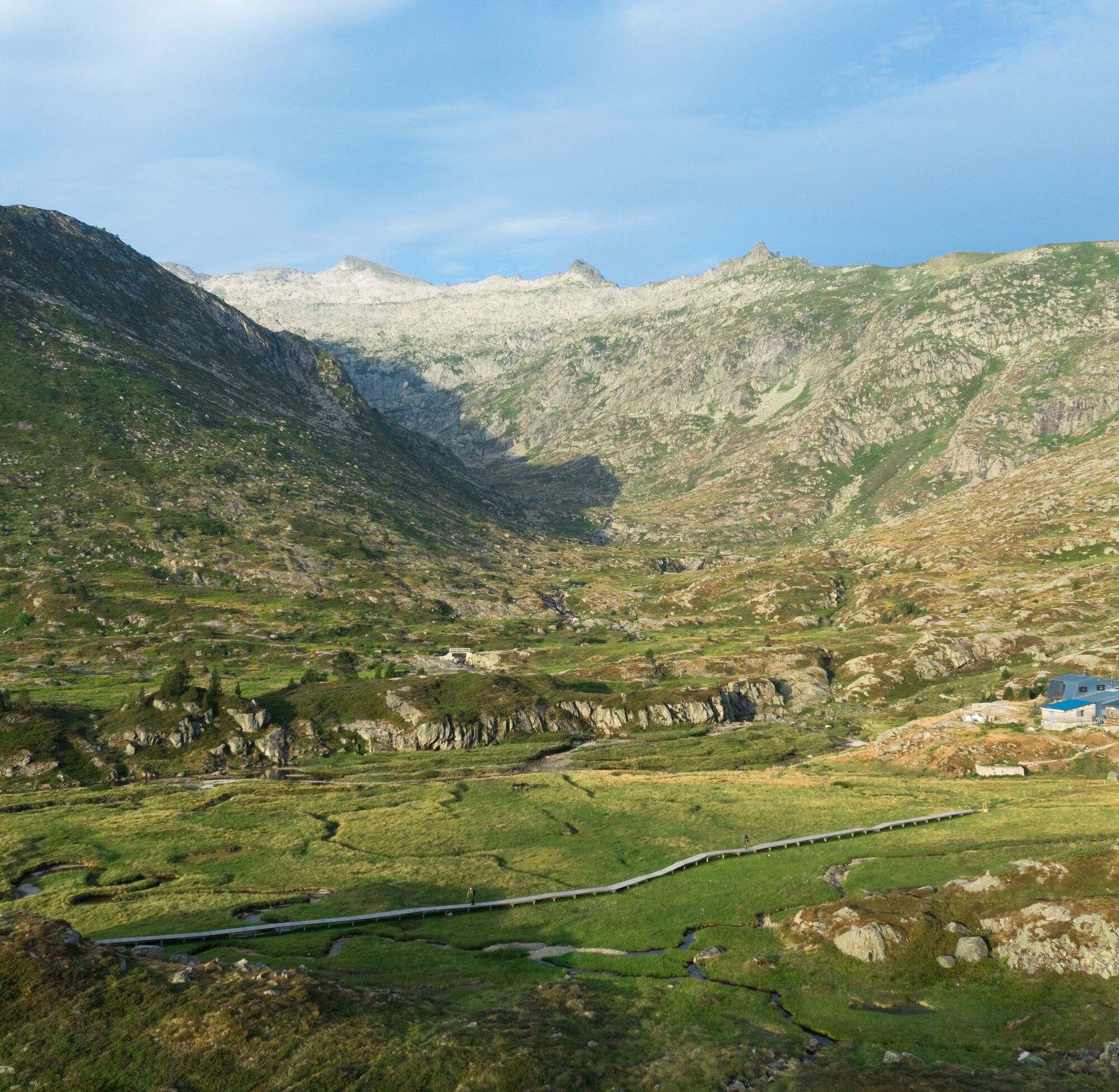
The great crossing of the Pyrenees (GR®10) is surprising and remarkable, both in the variety of landscapes, the most beautiful viewpoints, the most beautiful valleys and villages of the Pyrenees. This east-west route represents a duration of 45 to 60 days.
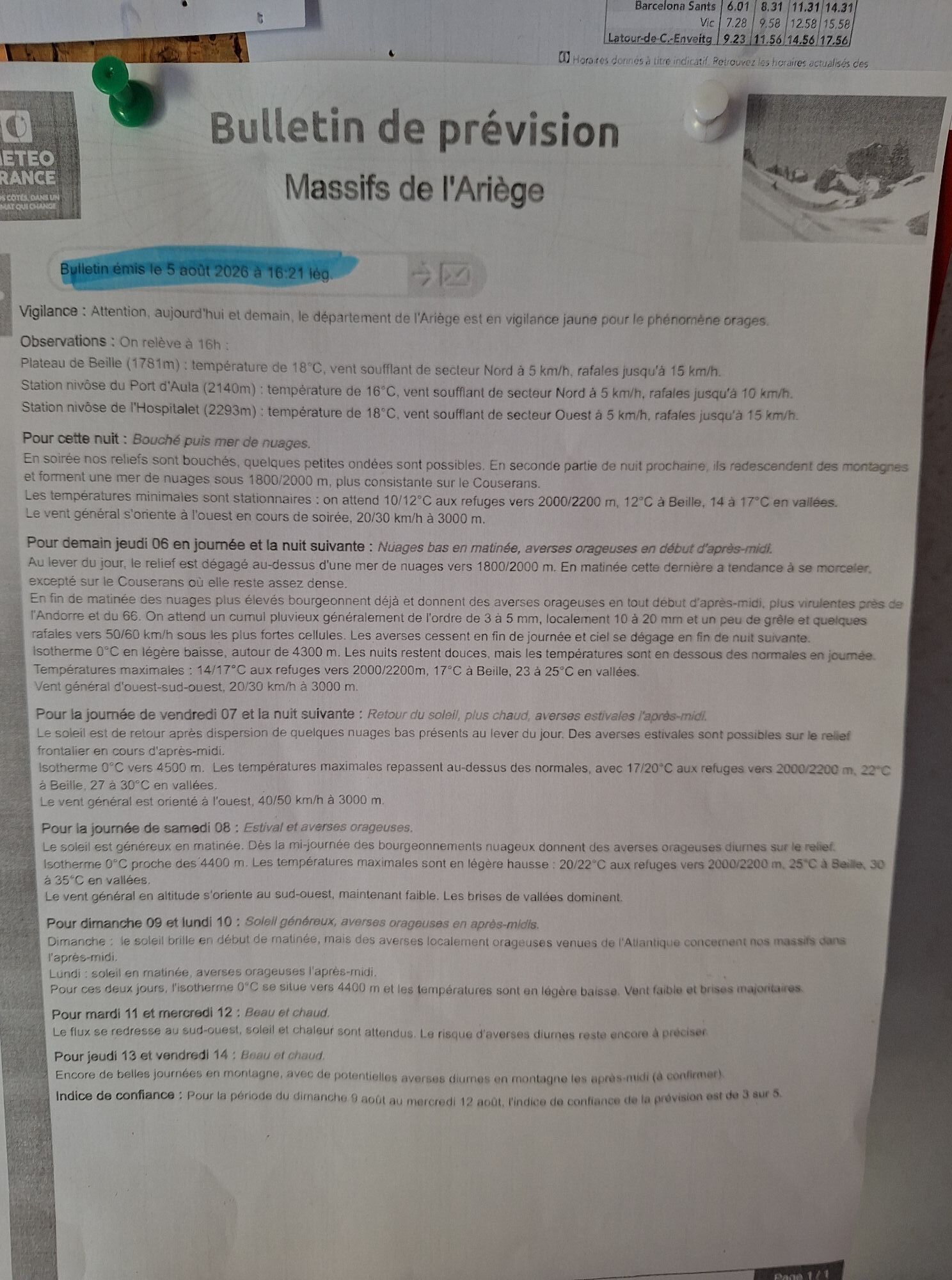
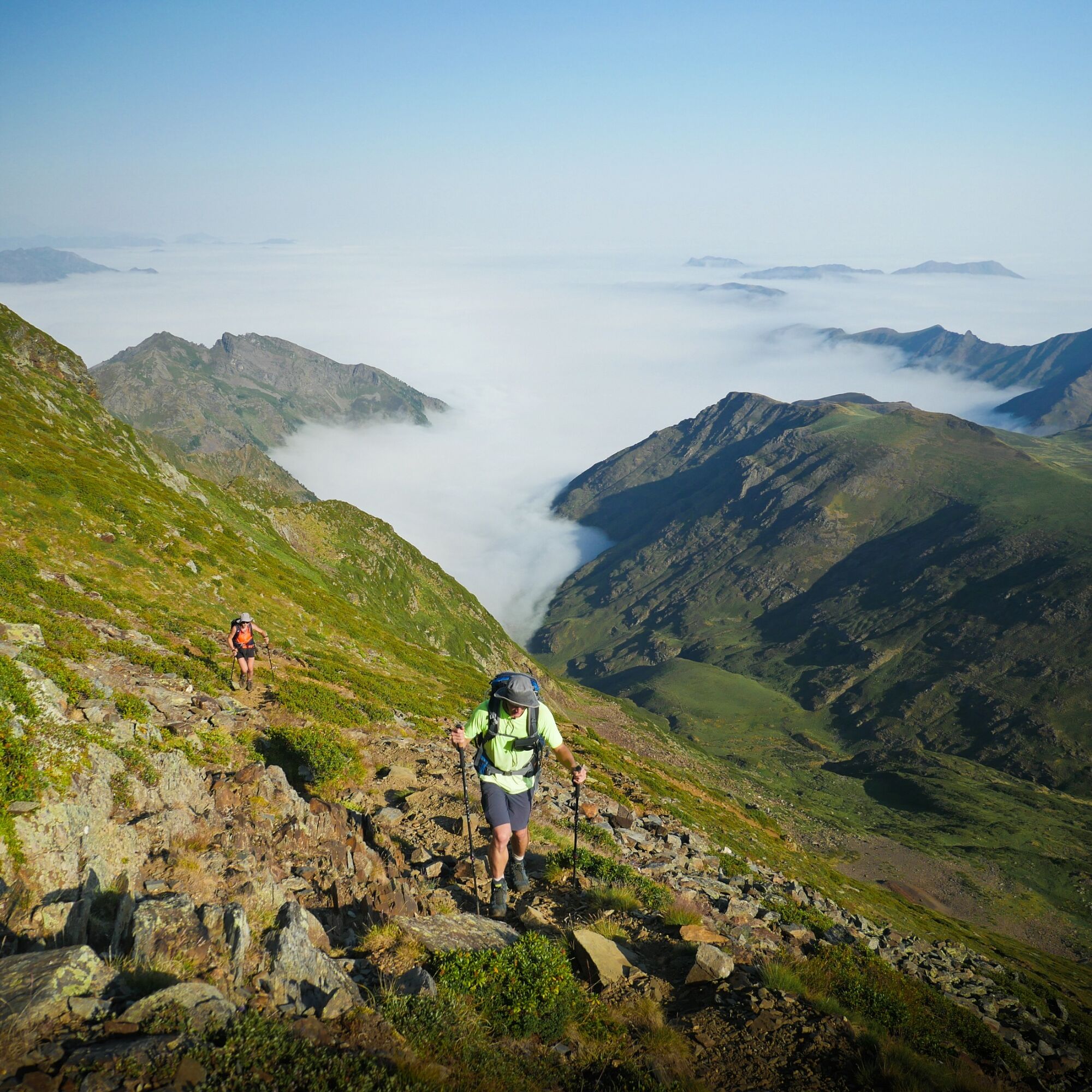
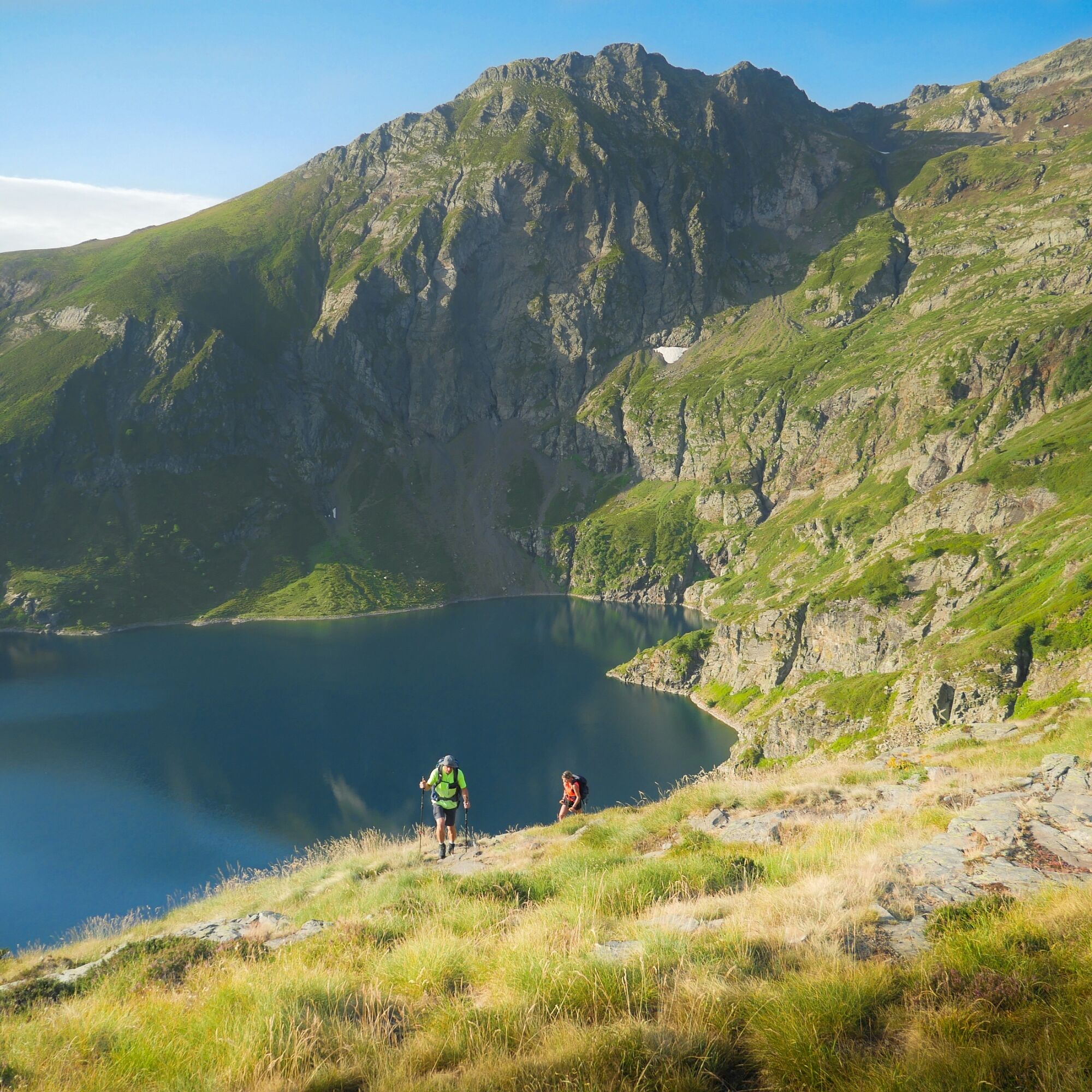
The Ariège section, which covers 25% of the GR10, is often considered the most difficult, the most isolated, and the wildest. It represents about 15 days of walking for 225 km.
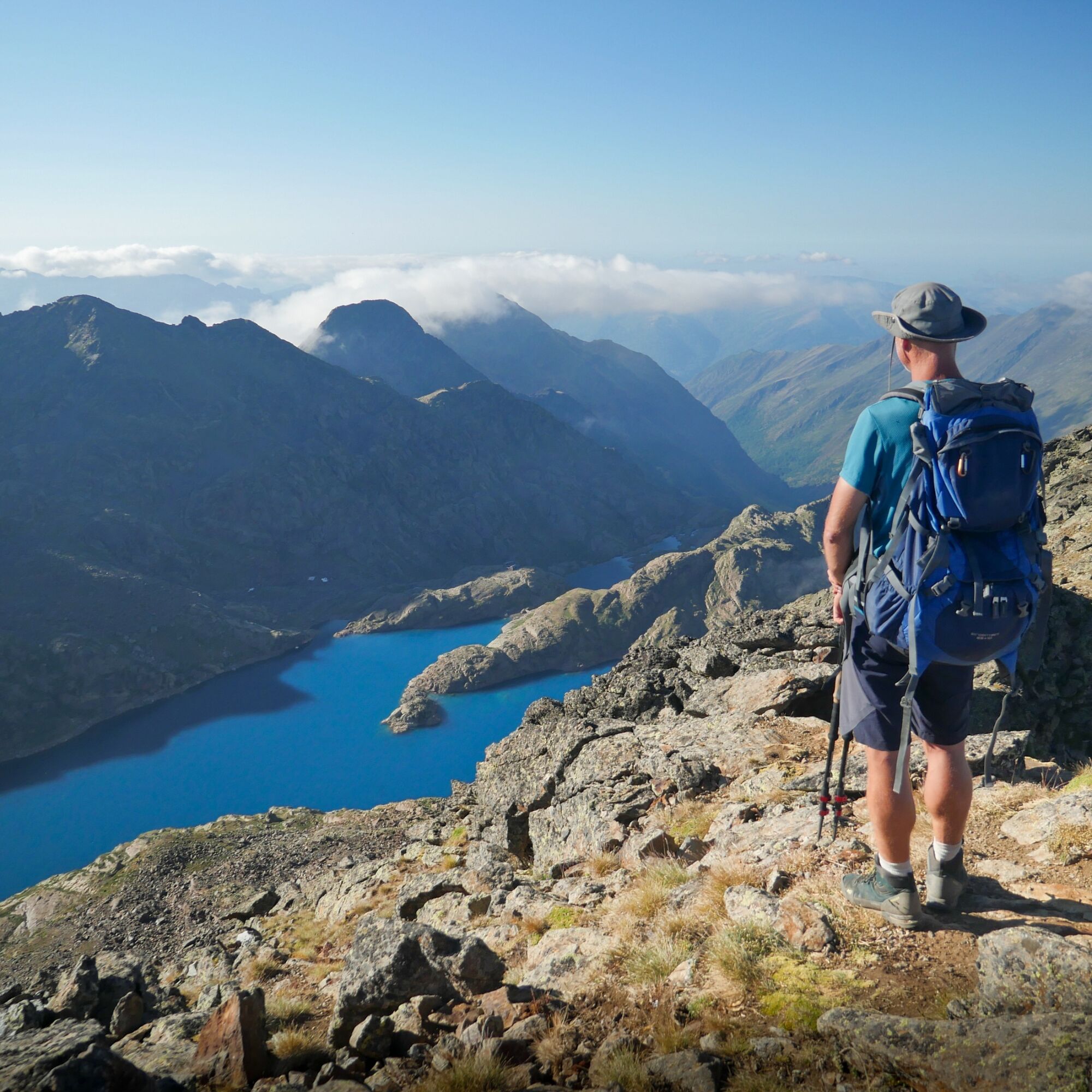
It requires being self-sufficient. But isn’t that what makes its charm? From Fos in Haute-Garonne, the route winds through the forest, from cabin to cabin, before arriving here, in Ariège, where the border ridge reaches 3,143 m with the Pique d’Estats and where the terrain is cut by deep valleys.
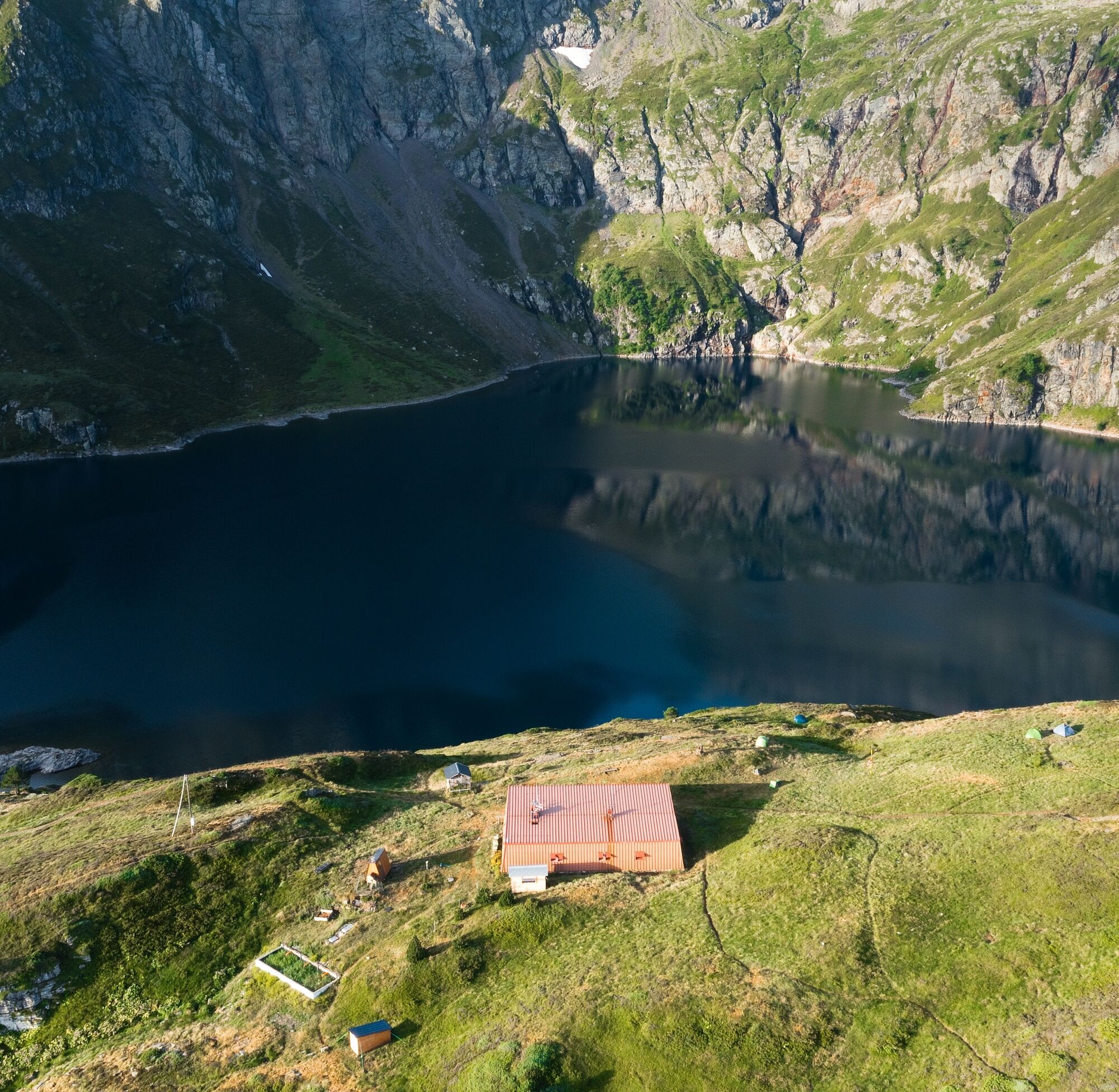
The Ariège part is the one that requires the best organization, planning several days of autonomy in water and food, and nights in cabin or tent. You can also plan taxi transfers.
And if you do not wish to be self-sufficient, local trekking agencies can offer this route with the required comfort (transfers, accommodation bookings...).
The Ariège section, which covers 25% of the GR10, is often considered the most difficult, the most isolated, and the wildest. It represents about 15 days of walking for 225 km.
It requires being self-sufficient. But isn’t that what makes its charm? From Fos in Haute-Garonne, the route winds through the forest, from cabin to cabin, before arriving here, in Ariège, where the border ridge reaches 3,143 m with the Pique d’Estats and where the terrain is cut by deep valleys.
The Ariège part is the one that requires the best organization, planning several days of autonomy in water and food, and nights in cabin or tent. You can also plan taxi transfers.
And if you do not wish to be self-sufficient, local trekking agencies can offer this route with the required comfort (transfers, accommodation bookings...).
Avtor
Zagotavlja Ariège Pyrénées Tourismus
Za ogled GR®10 - The great crossing of the Pyrenees poskrbi outdooractive.com.


Informacije o poti
Pot
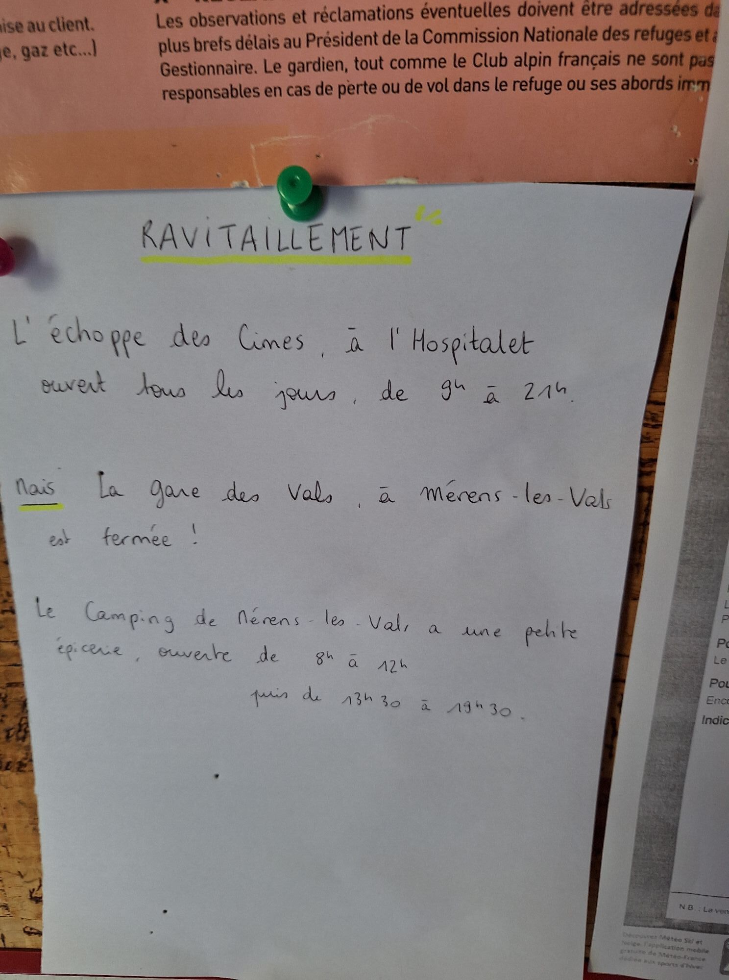
STEP 1: Bagnères-de-Luchon - Artigue Walking time: 3h00 - Distance: 7.7 km - Elevation gain +/-: 620 m / 50 m
STEP 2: Artigue - Artigue cabin Walking time: 6h00 - Distance: 12.6 km - Elevation gain +/-: 970 m / 800 m
STEP 3: Artigue cabin - Fos Walking time: 2h45 - Distance: 7.0 km - Elevation gain +/-: 10 m / 830 m
STEP 4: Fos - Uls cabin Walking time: 5h45 - Distance: 13.5 km - Elevation gain +/-: 1380 m / 60 m
STEP 5: Uls cabin - Araing pond refuge Walking time: 2h15 - Distance: 4.5 km - Elevation gain +/-: 310 m / 240 m
STEP 6: Araing pond refuge - Upper Eylie Walking time: 4h15 - Distance: 8.0 km - Elevation gain +/-: 330 m / 1260 m
STEP 7: Upper Eylie - Lasplanous cabin Walking time: 3h09 - Distance: 5.7 km - Elevation gain +/-: 870 m / 50 m
STEP 8: Lasplanous cabin - Clot du lac cabin Walking time: 4h50 - Distance: 9.5 km - Elevation gain +/-: 790 m / 780 m
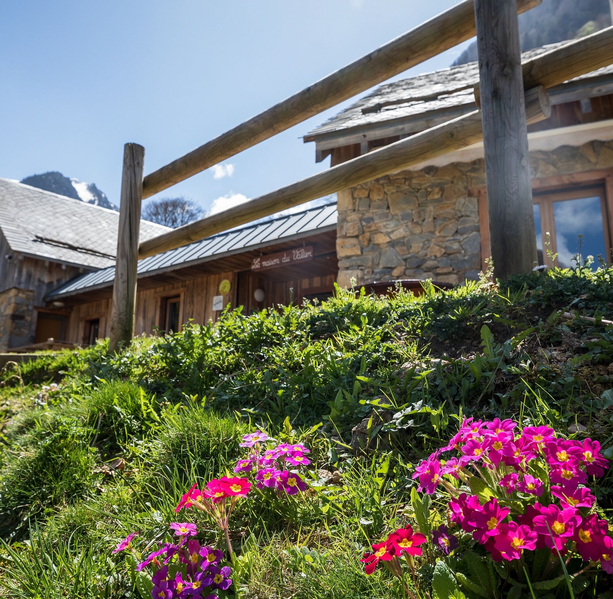
STEP 9: Clot du lac cabin - La Maison du Valier Walking time: 2h30 - Distance: 5.3 km - Elevation gain +/-: 790 m / 780 m
STEP 10: La Maison du Valier - Esbintz Walking time: 7h30 - Distance: 18.3 km - Elevation gain +/-: 1180 m / 1300 m
STEP 11: Esbintz - Betmajou Lauga mill Walking time: 2h05 - Distance: 6.9 km - Elevation gain +/-: 110 m / 390 m
STEP 12: Betmajou Lauga mill - Aula cabin Walking time: 5h05 - Distance: 12.6 km - Elevation gain +/-: 1010 m / 20 m
STEP 13: Aula cabin - Les Bouriès Walking time: 4h33 - Distance: 11.4 km - Elevation gain +/-: 470 m / 1180 m
STEP 14: Les Bouriès - Saint-Lizier-d'Ustou Walking time: 5h13 - Distance: 12.3 km - Elevation gain +/-: 840 m / 930 m
STEP 15: Saint-Lizier-d'Ustou - Aulus-les-Bains Walking time: 4h50 - Distance: 12.7 km - Elevation gain +/-: 900 m / 900 m
STEP 16: Aulus-les-Bains - Bassiès refuge Walking time: 4h59 - Distance: 9.7 km - Elevation gain +/-: 1180 m / 280 m
STEP 17: Bassiès refuge - Marc (Auzat) Walking time: 3h50 - Distance: 10 km - Elevation gain +/-: 120 m / 740 m
STEP 18: Marc - Prunadière refuge Walking time: 2h10 - Distance: 4.6 km - Elevation gain +/-: 580 m / 0 m
STEP 19: Marc - Prunadière refuge Walking time: 2h10 - Distance: 4.6 km - Elevation gain +/-: 580 m / 0 m
STEP 19: Prunadière refuge - Izourt pond refuge Walking time: 4h05 - Distance: 10 km - Elevation gain +/-: 700 m / 640 m
STEP 20: Izourt pond refuge - Auzat Walking time: 4h55 - Distance: 14 km - Elevation gain +/-: 170 m / 1100 m
STEP 21: Auzat - Siguer Walking time: 4h15 - Distance: 11.2 km - Elevation gain +/-: 660 m / 640 m
STEP 22: Siguer - Courtal-Marti cabin Walking time: 4h15 - Distance: 8.38 km - Elevation gain +/-: 1220 m / 170 m
STEP 23: Courtal-Marti cabin - Beille Plateau Walking time: 6h55 - Distance: 13.8 km - Elevation gain +/-: 1210 m / 1070 m
STEP 24: Beille Plateau - Rulhe refuge Walking time: 4h10 - Distance: 10.7 km - Elevation gain +/-: 640 m / 400 m
STEP 25: Rulhe refuge - Merens-les-Vals Walking time: 5h28 - Distance: 12.6 km - Elevation gain +/-: 310 m / 1430 m
STEP 2: Artigue - Artigue cabin Walking time: 6h00 - Distance: 12.6 km - Elevation gain +/-: 970 m / 800 m
STEP 3: Artigue cabin - Fos Walking time: 2h45 - Distance: 7.0 km - Elevation gain +/-: 10 m / 830 m
STEP 4: Fos - Uls cabin Walking time: 5h45 - Distance: 13.5 km - Elevation gain +/-: 1380 m / 60 m
STEP 5: Uls cabin - Araing pond refuge Walking time: 2h15 - Distance: 4.5 km - Elevation gain +/-: 310 m / 240 m
STEP 6: Araing pond refuge - Upper Eylie Walking time: 4h15 - Distance: 8.0 km - Elevation gain +/-: 330 m / 1260 m
STEP 7: Upper Eylie - Lasplanous cabin Walking time: 3h09 - Distance: 5.7 km - Elevation gain +/-: 870 m / 50 m
STEP 8: Lasplanous cabin - Clot du lac cabin Walking time: 4h50 - Distance: 9.5 km - Elevation gain +/-: 790 m / 780 m
STEP 9: Clot du lac cabin - La Maison du Valier Walking time: 2h30 - Distance: 5.3 km - Elevation gain +/-: 790 m / 780 m
STEP 10: La Maison du Valier - Esbintz Walking time: 7h30 - Distance: 18.3 km - Elevation gain +/-: 1180 m / 1300 m
STEP 11: Esbintz - Betmajou Lauga mill Walking time: 2h05 - Distance: 6.9 km - Elevation gain +/-: 110 m / 390 m
STEP 12: Betmajou Lauga mill - Aula cabin Walking time: 5h05 - Distance: 12.6 km - Elevation gain +/-: 1010 m / 20 m
STEP 13: Aula cabin - Les Bouriès Walking time: 4h33 - Distance: 11.4 km - Elevation gain +/-: 470 m / 1180 m
STEP 14: Les Bouriès - Saint-Lizier-d'Ustou Walking time: 5h13 - Distance: 12.3 km - Elevation gain +/-: 840 m / 930 m
STEP 15: Saint-Lizier-d'Ustou - Aulus-les-Bains Walking time: 4h50 - Distance: 12.7 km - Elevation gain +/-: 900 m / 900 m
STEP 16: Aulus-les-Bains - Bassiès refuge Walking time: 4h59 - Distance: 9.7 km - Elevation gain +/-: 1180 m / 280 m
STEP 17: Bassiès refuge - Marc (Auzat) Walking time: 3h50 - Distance: 10 km - Elevation gain +/-: 120 m / 740 m
STEP 18: Marc - Prunadière refuge Walking time: 2h10 - Distance: 4.6 km - Elevation gain +/-: 580 m / 0 m
STEP 19: Marc - Prunadière refuge Walking time: 2h10 - Distance: 4.6 km - Elevation gain +/-: 580 m / 0 m
STEP 19: Prunadière refuge - Izourt pond refuge Walking time: 4h05 - Distance: 10 km - Elevation gain +/-: 700 m / 640 m
STEP 20: Izourt pond refuge - Auzat Walking time: 4h55 - Distance: 14 km - Elevation gain +/-: 170 m / 1100 m
STEP 21: Auzat - Siguer Walking time: 4h15 - Distance: 11.2 km - Elevation gain +/-: 660 m / 640 m
STEP 22: Siguer - Courtal-Marti cabin Walking time: 4h15 - Distance: 8.38 km - Elevation gain +/-: 1220 m / 170 m
STEP 23: Courtal-Marti cabin - Beille Plateau Walking time: 6h55 - Distance: 13.8 km - Elevation gain +/-: 1210 m / 1070 m
STEP 24: Beille Plateau - Rulhe refuge Walking time: 4h10 - Distance: 10.7 km - Elevation gain +/-: 640 m / 400 m
STEP 25: Rulhe refuge - Merens-les-Vals Walking time: 5h28 - Distance: 12.6 km - Elevation gain +/-: 310 m / 1430 m
Dodatne informacije in nasveti
Dodatne informacije
Difficulty level: 4/5 You have good physical condition and are prepared for multi-day hiking in mountain and even high mountain.
Leave no trace of your passage.
Find information and advice on how to behave in the mountains: https://www.ariegepyrenees.com/preparer/randonner/montagne-mode-demploi/
Also information on the art of sleeping in the mountains: https://www.ariegepyrenees.com/preparer/randonner/lart-de-dormir-en-montagne/
Leave no trace of your passage.
Find information and advice on how to behave in the mountains: https://www.ariegepyrenees.com/preparer/randonner/montagne-mode-demploi/
Also information on the art of sleeping in the mountains: https://www.ariegepyrenees.com/preparer/randonner/lart-de-dormir-en-montagne/
Še ni pregledov
Spletne kamere s turneje

Vse spletne kamere na zemljevidu
Brezplačno namesti aplikacijo in primerjaj slike v živo z več lokacij, preden se odpraviš na pot.
bergfex zdaj uporabljaj v aplikaciji
S kamero poskeniraj QR-kodo
Ko je aplikacija nameščena, se vsebina odpre takoj. Če aplikacije še nimaš, te bo preusmerila na stran za brezplačen prenos.
Priljubljeni izleti v okolici
- 4.5
Soldeu - Vall d'Incles - Picnic - Cami de l'Obac
svetlobaPohodništvo 10.8 km Chemin de la Transhumance Plateau de Beille - Val d'Incles
težkoPohodništvo 37.2 kmSoldeu - Estany de Querol - Basses de les Salamandres - near Estany Cabana Sorda
težkoPohodništvo 11.1 km- 5.0
Soldeu - Estanys Siscaro - Soldeu
srednjaPohodništvo 14.3 km Cyclosport route 11 - The Ariège cyclotour - Stage 5: from Ax-les-Thermes to Foix
težkoCestno kolo 93.0 kmFontargente ponds
svetlobaPohodništvo 7.78 kmRefuge du Rulhe via Le Rieutort
svetlobaPohodništvo 13.2 kmSoldeu - Estany Querol - Estanys Salamandre - Cabana Sorda
srednjaPohodništvo 13.8 kmÉtangs du Fourcat and the refuge
težkoPohodništvo 17.6 kmD 4. Etappe Tarascon-sur-Ariège-Vicdessos, Okzitanien/Frankreich
svetlobaKolesarjenje 15.4 km
Pohodništvo in sledenje

Zaradi več kot 550.000 predlogov izletov, podrobnih zemljevidov in intuitivnega načrtovanja poti je aplikacija obvezna oprema za vse ljubitelje narave.

Ne zamudite ponudb in navdiha za naslednje počitnice
Naročite se na novice
Napaka
Zgodila se je napaka. Prosimo, poskusite znova.Zahvaljujemo se vam za prijavo
Vaš e-poštni naslov je bil dodan na poštni seznam.
Izleti po vsej Evropi
Avstrija Švica Nemčija Italija Slovenija Francija Nizozemska Belgija Poljska Lihtenštajn Češka Slovaška Španija Chorvátsko Bosna in Hercegovina Luksemburg Andora පෘතුගාලය අයිස්ලන්තය එක්සත් රාජධානිය අයර්ලන්තය ග්රීසිය ඇල්බේනියාව North Macedonia Malta Norway Montenegro Moldova කොසෝවො හන්ගේරියානු සමුහාණ්ඩුව San Marino රුමේනියාව එස්ටෝනියා ලැට්වියාව බෙලාරස් සයිප්රස් Lithuania Serbia බල්ගේරියාව Monaco ඩෙන්මාර්කය Sweden ෆින්ලන්තය





