






HIKING THE TOUR DES VILLAGES DU PIC - GR® DE PAYS TOURS IN GRAND PIC SAINT-LOUP

A route to go back in time, to the medieval era. Secret castles to glimpse, churches and chapels to visit, remains of ramparts to discover…
The Tour des Villages du Pic is part of the GR® de Pays Tours...
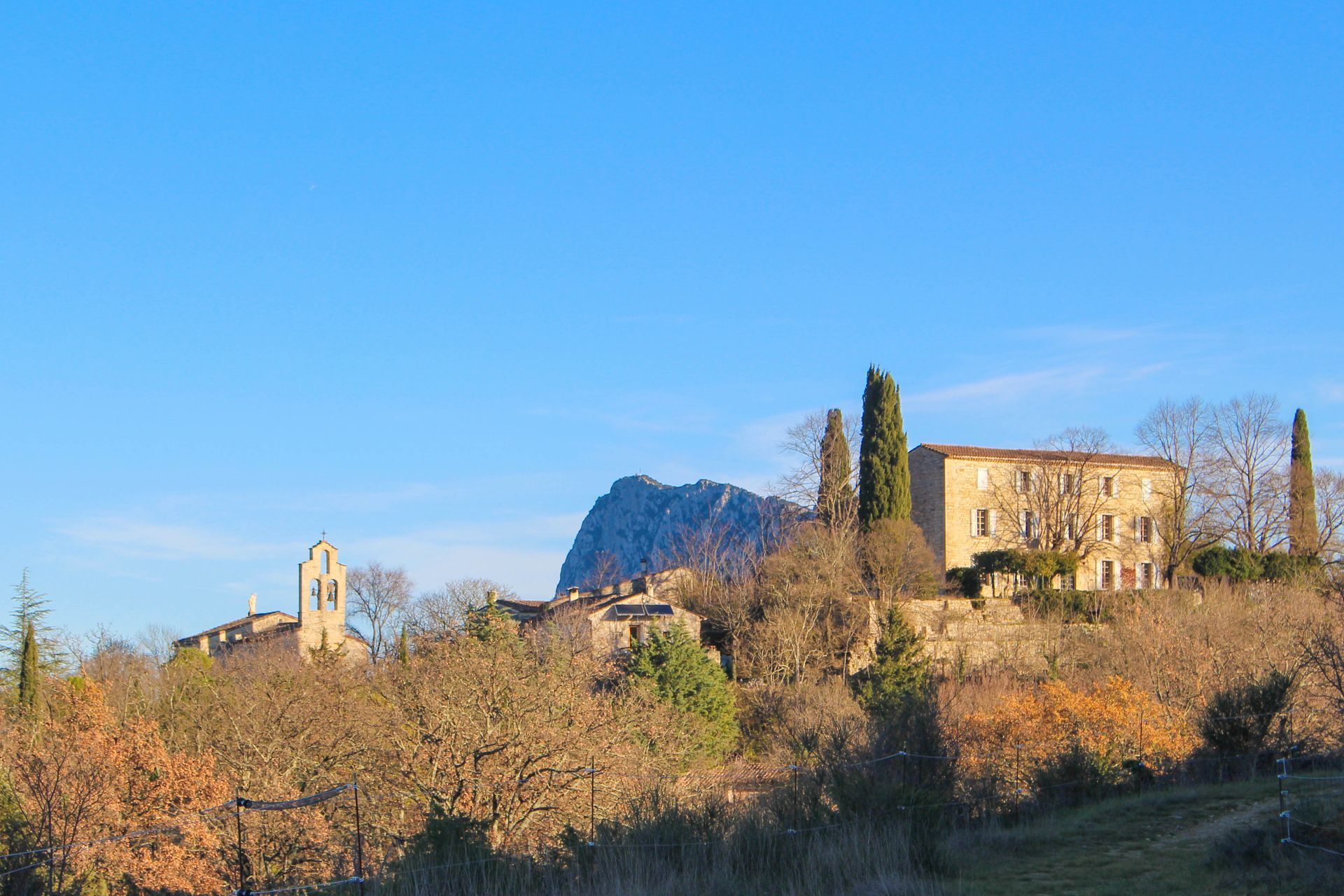
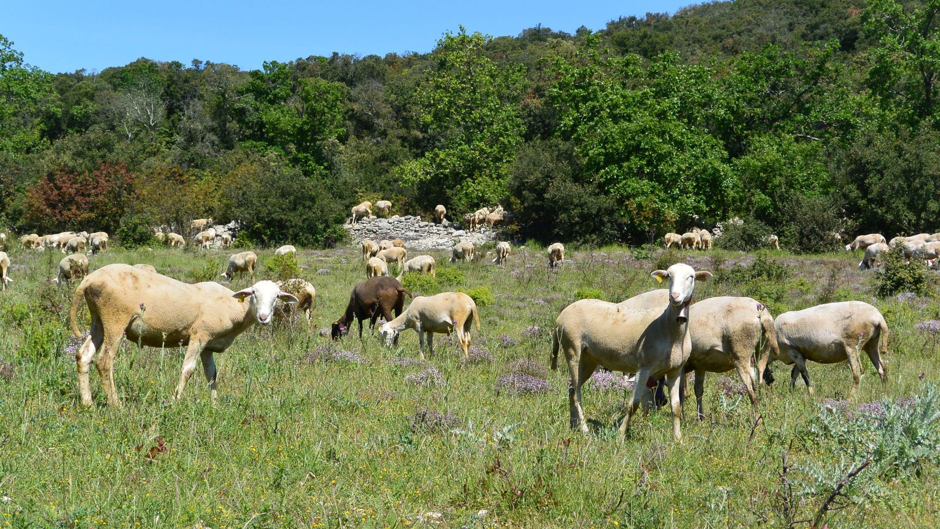
The Tour des Villages du Pic is part of the GR® de Pays Tours in the Grand Pic Saint-Loup, voted the French people's favorite GR® in 2021. North of Montpellier, at the foot of Pic Saint-Loup (658 m), dominate the vineyards and scrubland, holm oaks and pasture meadows, scattered with villages with stone alleys. The city is just a few kilometers away but feels very far. Further north, the causses, gorges, and the wild ridge of the Séranne (942 m) unfold. Thanks to a dense network of old cattle trails, vineyard paths, or trails, several loops allow you to explore these landscapes of ever-renewed beauty in all seasons.


1
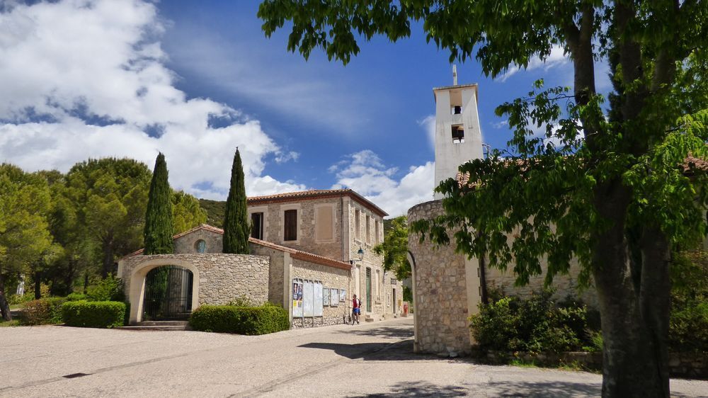
From Les Matelles to St-Martin-de-Londres Start from the Les Matelles parking, behind the town hall, head straight along rue du Jeu de Ballon. Leave the road and climb left towards the Bois de Lecques. Reach Saint-Jean-de-Cuculles, named after the “cuculle,” a hood worn in the Middle Ages by peasants and monks. Leave the village and at the calvary, join the D 113. In Saint-Mathieu-de-Tréviers, head towards Montferrand castle and climb a rocky path (view of Pic Saint-Loup) to the Croisette crossroads (538 m) then descend to Cazevieille. Pass Mas-de-Londres and continue to Saint-Martin-de-Londres. 21.5 km / 5h25 / +618 m / -527 m
2
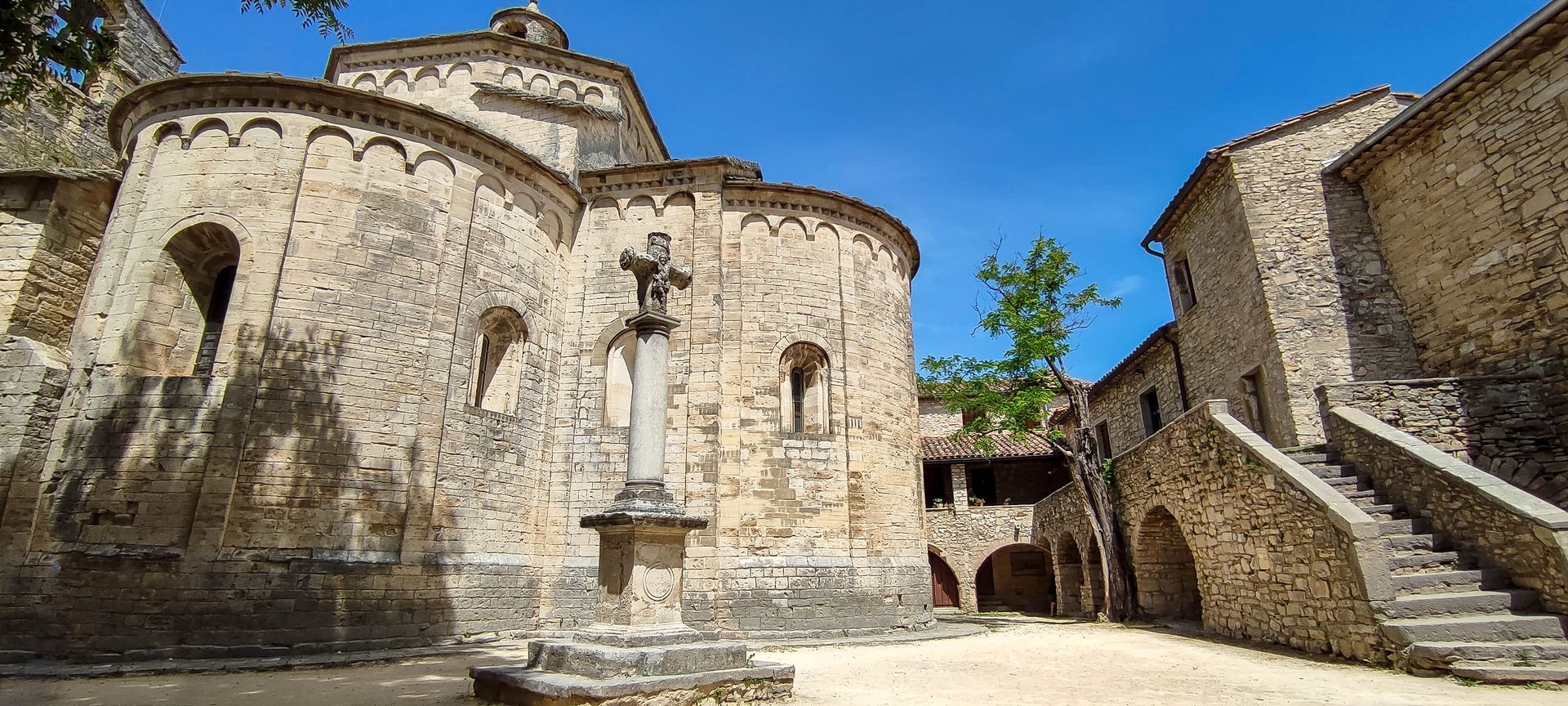
From St-Martin-de-Londres to Saugras Visiting the village center and church of Saint-Martin-de-Londres is a must before leaving. Marked at its entrance by centennial plane trees, the village has preserved much of its heritage. Its jewel is a Romanesque church that stands as one of the finest examples of late 11th-century Languedoc Romanesque art. It was reportedly built between 1025 and 1030 by monks from the Gellone Abbey in Saint-Guilhem-le-Désert. The church, remarkable for a clover-shaped plan with Lombard inspiration unique in Languedoc, consists of a choir and two transept arms ending in apses. Facing the clock tower, turn left onto rue de l’Ayet. Leave the village and take the cattle path. On the right, pass a Neolithic dolmen. Cross the wide path on the left for 25 m. Head south, take the road, and emerge onto the D 32. Reach the center of Viols-le-Fort. At the calvary, turn left and pass the church. Cross the access road to the quarry and follow it alongside. At the crossroads, take the left track, descend into a valley, continue, and arrive in front of the Saugras inn. 13 km / 3h10 / +161 m / -188 m
3
From Saugras to Les Matelles Take the road to the right, cut the bend, and take the track opposite for 20 m. Continue left and cross the Truc Peyrols valley. Reach the Passière crossroads. Descend left along the wide DFCI track (Forest Fire Defense). Take the road to the left, then the street to the left. It climbs towards the village center. Pass through the old village of Murles. At Plan de Jeanne, descend to the town hall. Take the D 127 for 40 m, then continue on the ascending DFCI track (view of Pic Saint-Loup). Reach the Roquet houses. Continue until the village of Les Matelles. 14.5 km / 4h / +356 m / - 422 m
4
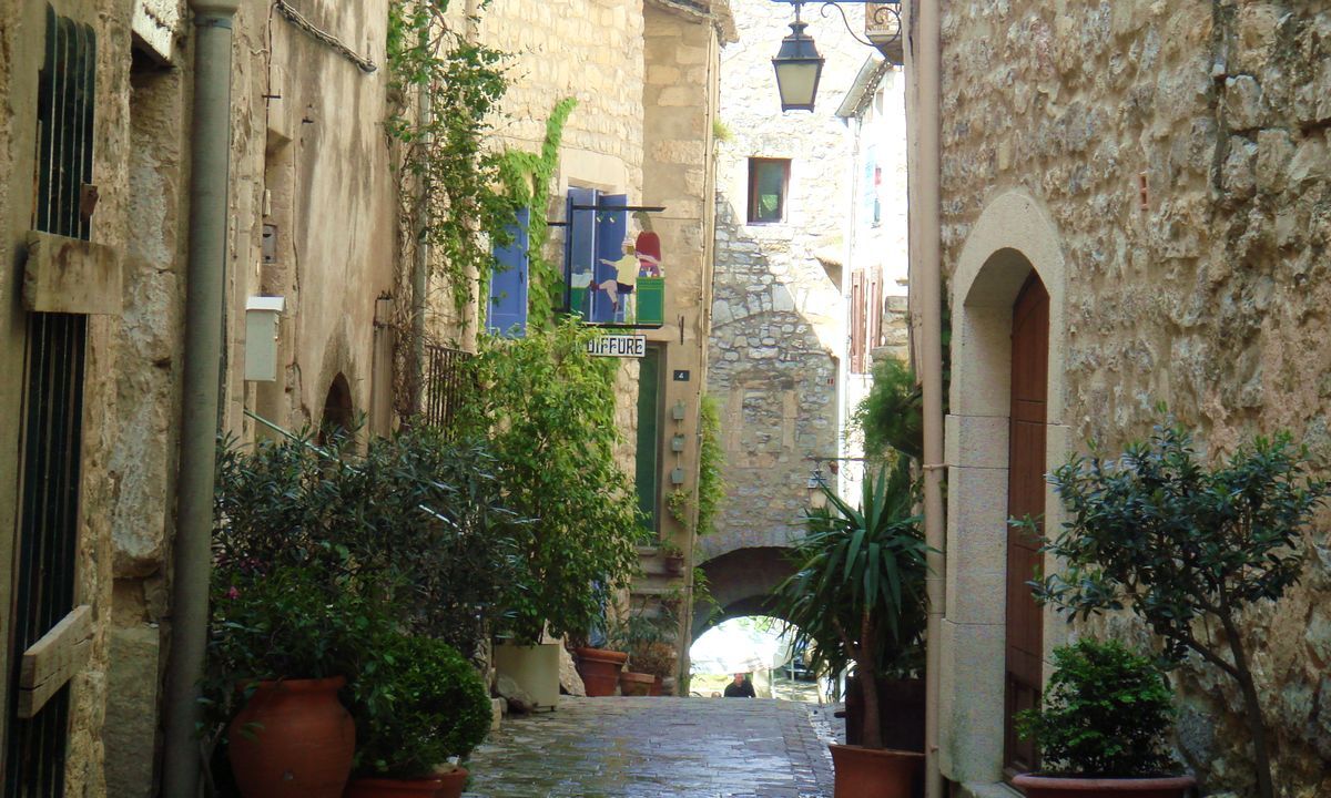
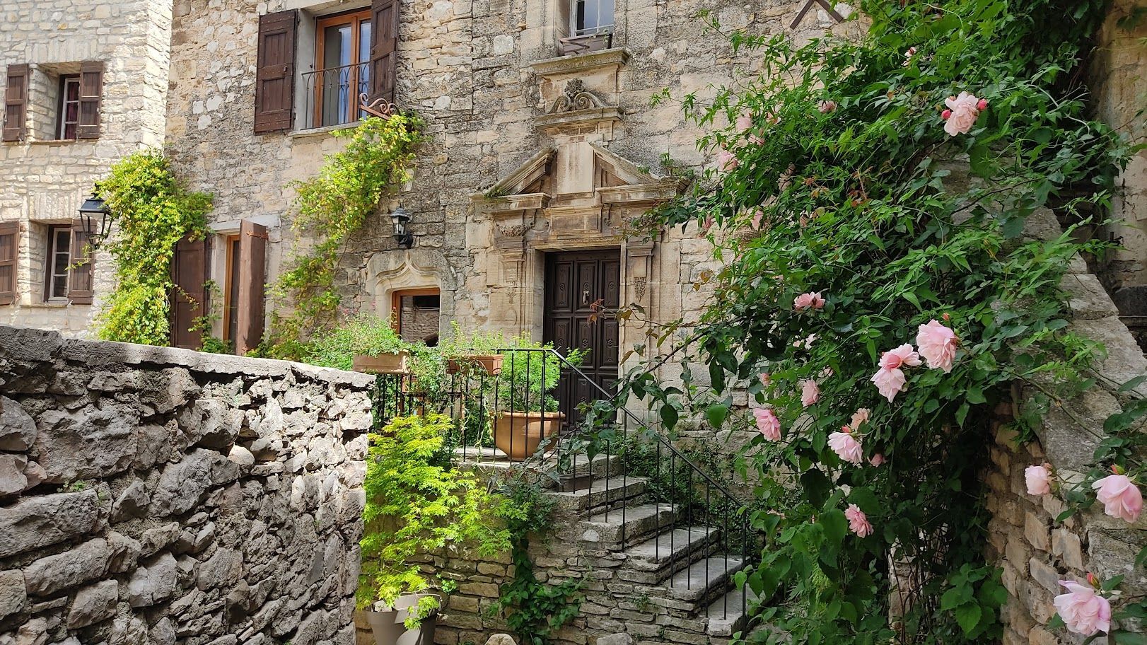
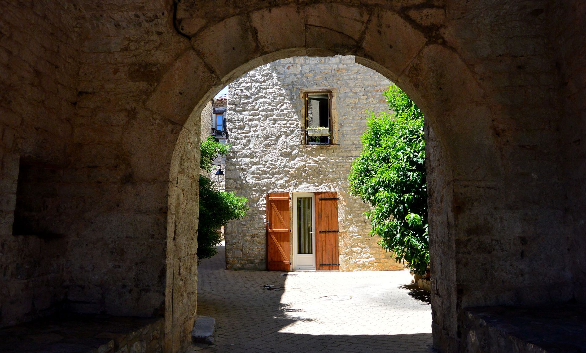
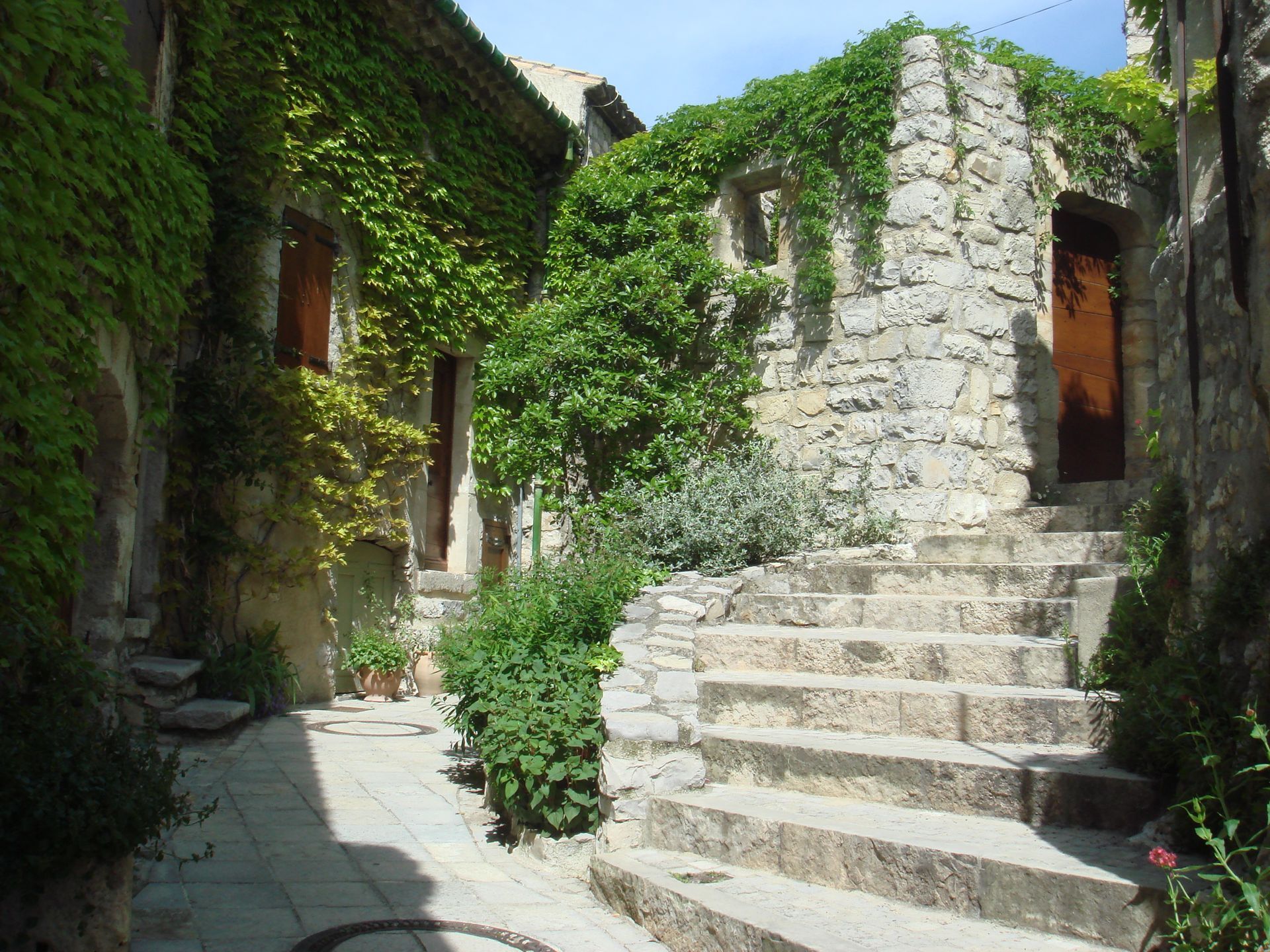
Les Matelles The historic center of Les Matelles, with its medieval streets, charms with its authenticity while the Maison des Consuls houses beautiful pieces from nearby prehistoric sites. The village's life is punctuated by events: notably its creation market and potters' market. Former capital of the Val de Montferrand — a territory that benefited from special privileges granted by the bishops of Maguelone — the old village is built on the left bank of the Lirou, sheltered by ramparts erected in the 15th century. Behind, the alleys, which sometimes connect through covered passages, offer a real change of scenery; the facades are adorned with very beautiful external staircases and decorated with interesting architectural details.
The paths used are often rocky (old cattle paths, passage through limestone areas, heavy erosion), suitable shoes are essential.
In summer, access to the Pic Saint-Loup massif may be prohibited in case of high fire risk. More generally, access to wooded and scrubland areas is strongly discouraged in case of fire alert 'Red' or 'Orange'. Be sure to consult the summer alert map on the Hérault prefecture website.
GR® and GR® de Pays are registered trademarks of FFRandonnée, they designate the routes identified by the name «GR®», marked with white-red marks; and under the name «GR® de Pays», marked with yellow-red marks. These routes are creations of FFRandonnée. Unauthorized reproduction, as well as GR® and GR® de Pays marks, constitute counterfeiting liable to prosecution. Find all the GR® on mongr.fr
Yellow and red GR de Pays
https://www.grandpicsaintloup-tourisme.fr/
Grand Pic Saint-Loup Tourist Office
GRP - FFR
Priljubljeni izleti v okolici
- 4.0
PIC SAINT LOUP HIKE
srednjaPohodništvo 2.64 km - 5.0
DRAILLES HIKE
svetlobaPohodništvo 7.16 km RAVIN DES ARCS HIKE
srednjaPohodništvo 3.83 km- 4.0
CYCLE LOOP No.4 - THE HÉRAULT GORGES AND THE COL DES LAVAGNES
srednjaKolesarjenje 53.3 km RANDONNEE DE PEYRE MARTINE
srednjaPohodništvo 15.4 kmHIKE OF THE CHÂTEAU DE RESTINCLIERES
svetlobaPohodništvo 7.86 kmFROM MONTPELLIER TO SAINT-GUILHEM-LE-DÉSERT ON THE GR®653 ARLES WAY TO COMPOSTELA
srednjaPohodništvo 42.7 km- 4.0
BOIS DE LÈQUE HIKE
svetlobaPohodništvo 9.34 km OENORANDO® BETWEEN GRÉS DE MONTPELLIER AND PIC SAINT-LOUP
srednjaPohodništvo 15.0 kmHIKE OF NOTRE-DAME-DU-LIEU-PLAISANT
srednjaPohodništvo 11.1 km
Pohodništvo in sledenje


Ne zamudite ponudb in navdiha za naslednje počitnice
Vaš e-poštni naslov je bil dodan na poštni seznam.





