


TOUR EN FAUGERES - GR® DE PAYS MINERVOIS, SAINT-CHINIAN, FAUGÈRES
Departing from villages accessible by bus, the new GR® de Pays Tours en Minervois Saint-Chinian Faugères consists of 5 2- to 3-day loops in the heart of the Minervois, Saint-Chinian and Faugères appellations....
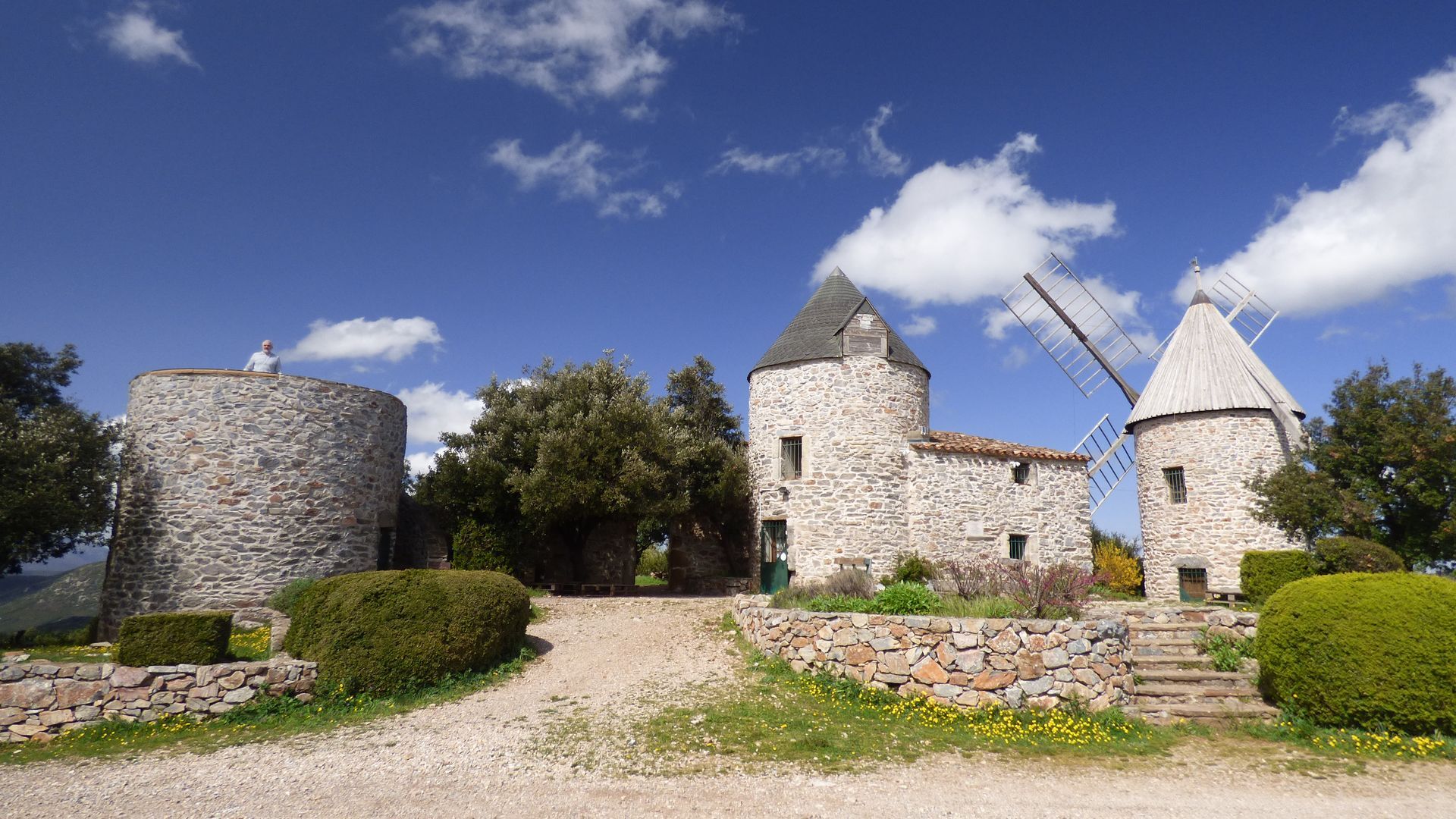
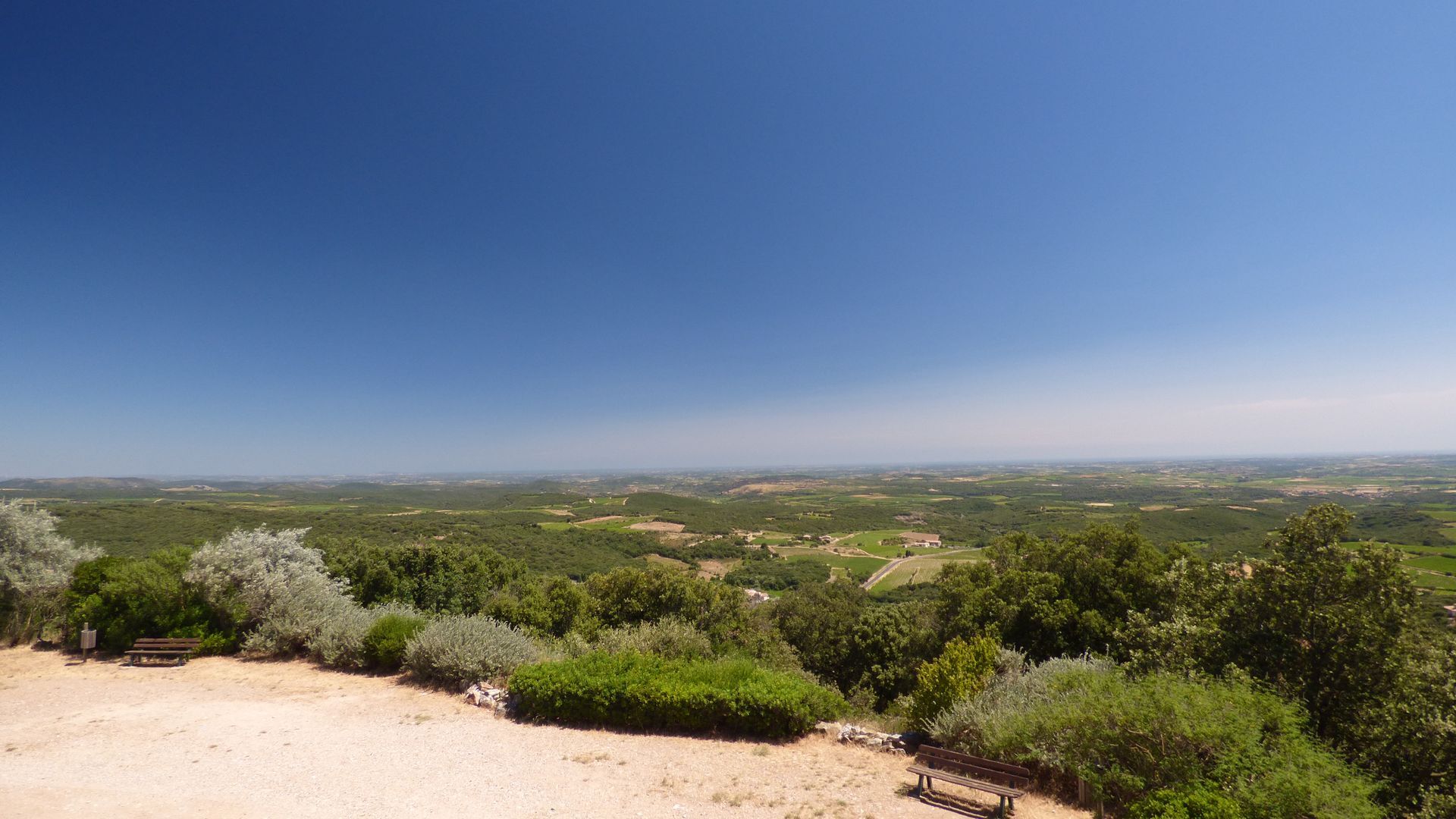
On the Tour en Faugères, between hills and puechs, the vineyards of the Faugères appellation are omnipresent, giving hikers the scent of thyme, rosemary and lavender, which they'll find again during tastings at the winegrowers'. From villages to châteaux, the surprises are there every time...

1
Go down the street alongside the town hall. After 80 m, turn right. At the fork, turn left. Cross the D154 and follow the path below the Mas Oliviers winery. Pass under a viaduct, then turn right and continue straight ahead. Pass the Faugères wine cellar on the left.
2
At the T junction, turn right towards Les Mattes Basses and stay on the main track until you reach a road (monument de Bel-Air); turn left.
3
At a hairpin bend, follow the DFCI-AVF7 track to the left. Stay on this main track, which winds through the woods (picnic area, view of the wine-growing plain and the sea). At the fork, take the track on the right and continue to Caussiniojouls.
4
Turn right up the Tour de Ronde ramp, then rue du Carcan. Pass Château Chénaie (cellar). Go down rue du Coulas and turn right into rue de l'Aire. As you leave the village, follow the DFCI-AVF 6 track for 500 m.
5
At a bend in the road, leave the Réseau Vert and continue left on the main track. After 200 m, turn left and then right on a path lined with low walls. The path descends into a talweg, crosses a dry stream and climbs uphill. Continue on, ignoring the right and left starts. Cross another stream and climb uphill. Join a path.
6
Keep right and, staying on the main path, reach a road. Turn right to reach a pass.
7
Go left down the track for 50 m, then fork left onto a path. At the talweg, go back up to the Château de Cabrerolles. Descend to the right along the concrete path that runs alongside the ruins, passing under a surrounding wall.
8
Cross the Place du Château, go down an alleyway to Rue du Château. Take the road to the right towards the church, passing the gîte d'étape. Turn right onto the D154, then immediately follow the D136E4 towards Aigues Vives for 200 m (vineyard). (Separation from the GR de Pays Haut Languedoc et Vignobles, tour de Bédarieux. Junction with the Du Saint-Chinian au Faugères loop).
9
At the calvary, go straight ahead. Walk 1 km (on the right, Trou de Météore). Turn left and go down to a road. Cross the road and follow a downhill path through the woods. Cross a stream and turn left at a road. Turn right onto the D154 in the hamlet of La Liquière (Château de la Liquière, winery), walk approx. 150 m.
10
Go right downhill. At the crossroads, go right, then follow a track for 600 m. At the end, go straight ahead through the vineyards to reach a road (D 136). Cross the road and head downhill. Follow the main track for 1.2 km, then turn left. Walk 100 m, then cross a ford. Follow the path for 1 km as it winds through the vineyards (watch for signs).
11
Go left downhill towards a dam, cross a ford, then start the ascent. At the intersection, take the road to the right. Follow this road for 300 m. At the end, climb the Chemin de Ronde and turn left into Rue du Stade. (Separation from the Du Saint-Chinian au Faugères loop).
12
Take rue du Stade past the stadium and water tower, then exit the village. At a crossroads, join the D154; turn left for 70 m, then right (bel olivier). Stay on the main track for about 800 m. At a crow's-foot, go left, passing a left-hand bend.
13
Leave the track and descend to the right along a plot of land. Cross a stream and go up through the vines to find a track; turn right and stay on it for almost 1 km. After the waste disposal site, turn right onto the side of the D136.
14
At the first pylon, cross over and take the downhill track. Pass through the underpass, under the D909, and climb back up to the road in the village of Laurens. Cross over to the right at the crosswalk, then go right. Turn left into chemin du Terras. At the end, turn left into chemin du Moulin to a parking lot, and arrive at Place des Anciens Combattants.
15
Go straight ahead into Rue Sauvanès, built into the Libron riverbed, then pass under a bridge. Go right over a footbridge into Rue de la Passerelle. At the end, go straight on into rue des Granges to leave the village. Walk about 500 m along the main road to a crossroads. Turn right and, at the second ford, climb towards the pine trees between the vines for about 800 m.
16
At a building, turn left and cross the bridge over the railroad. Walk for approx. 180 m and, at the intersection, in a hairpin bend, turn right through vineyards. Turn left alongside a mazet and continue along the track to the road. Turn left and immediately take a left downhill to access a tunnel (impossible to pass after heavy rain; in this case, stay on the road, cross the D13 and enter Castelsec). Take the tunnel.
17
At the entrance to Castelsec, turn right into an alleyway and rejoin the road at the end. Turn right and, at the D136, go left. Before a bridge, turn left, cross the Pas-de-Lièvre stream and continue as far as a mazet. Go left up a small road. Join the D136E8 at a bend; go left as far as Roquessels.
18
At the hairpin bend, take the stairs on the right and turn right onto Chemin des Serres. Turn left into a lane leading up the stairs, then right into chemin des Lierres. Turn right under the road and take the stairs on the left. Cross the rue des Lierres and climb the stairs opposite, then a steep slope (Roquessels medieval castle and its 12th-century chapel). From the belvedere (viewpoint, picnic tables), continue straight ahead, skirting the cliff on the path. Continue along a vineyard to reach a road; turn right. At the next intersection, keep left until you reach a T-junction.
19
Turn left and immediately right along a plot of land. Then descend slightly to the left into a wood. Turn right onto a rising path (ruins of the Saint-Étienne-de-Frontignan chapel). Cross a road and climb between vineyards to skirt capitelles (dry-stone buildings). Climb to the right through the evergreen oaks and, at the trail, descend to the left at a capitelle (viewpoint over Faugères). At the road, turn right, then right again on a track that crosses the road, and continues until you reach the village entrance. Turn right onto the D13 and return to the starting point.
In case of emergency, call 112.
Other suggestions: - in 2 days: Faugères - Autignac (21.6 km) / Autignac - Faugères (15.6 km) - 2 days: Faugères - La Liquière (15.9 km) / La Liquière - Faugères (21.3 km)
GR® and GR® de Pays are registered trademarks of the FFRandonnée, designating routes identified as "GR®", marked with white-red markings; and as "GR® de Pays", marked with yellow-red markings. These routes are the creations of FFRandonnée. Their unauthorized reproduction, as well as the GR® and GR® de Pays trademarks, constitutes an infringement liable to prosecution. Find all GR® routes on mongr.fr
Yellow and red GR de pays
+33 4 67 36 67 13
Les Avants Monts Tourist Office
GRP - FFR
Priljubljeni izleti v okolici
-
4.0
GORGES DE COLOMBIERES HIKE
srednjaPohodništvo 12.0 km -
5.0
PECH BELET HIKE
svetlobaPohodništvo 4.41 km -
5.0
HIKING THE RED ROCK
srednjaPohodništvo 7.01 km -
5.0
OENORANDO® THE VALLEY OF AROMAS
srednjaPohodništvo 13.7 km -
HIKE OF SAINT MICHEL DE MOURCAIROL
srednjaPohodništvo 11.7 km -
BEALS TRAIL HIKE
srednjaPohodništvo 4.51 km -
TRAIL ITINERARY ON THE GR®7 CAROUX MOUNTAINS
srednjaTrailrunning 96.2 km -
CABREROLLES HIKE THE PIC DE LA COQUILLADE
srednjaPohodništvo 8.45 km -
ESTABEL TRAIL
srednjaTrailrunning 28.7 km -
OENORANDO® LA THONGUE ET SES COTEAUX
srednjaPohodništvo 14.7 km
Pohodništvo in sledenje


Ne zamudite ponudb in navdiha za naslednje počitnice
Vaš e-poštni naslov je bil dodan na poštni seznam.