







HAUTE VALLEE DE L'AGOUT HIKE
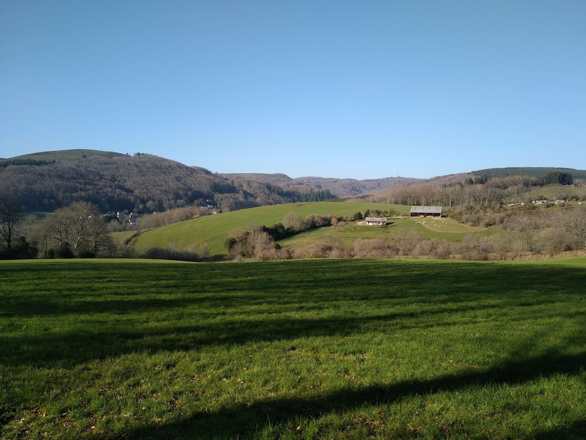
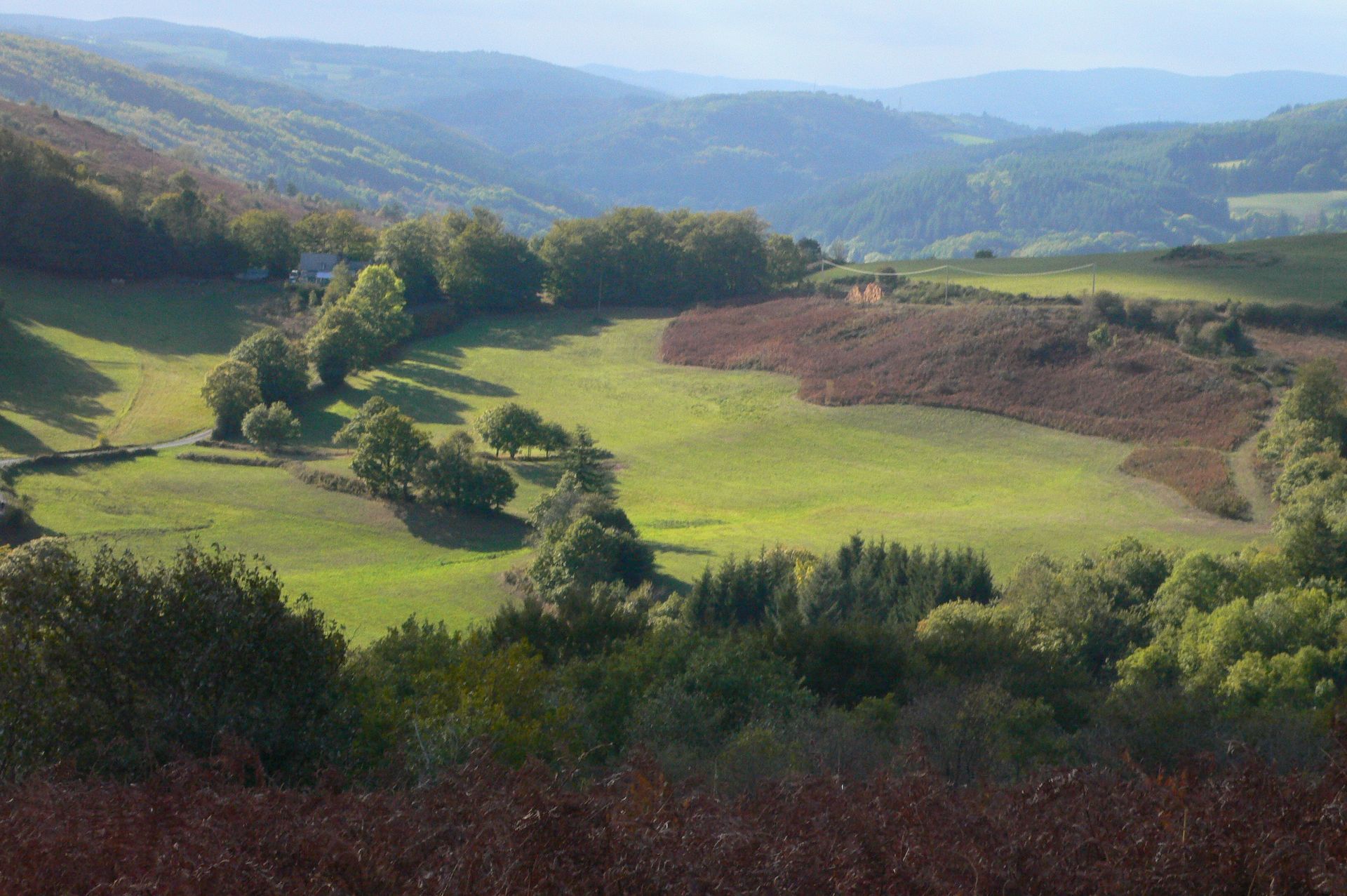
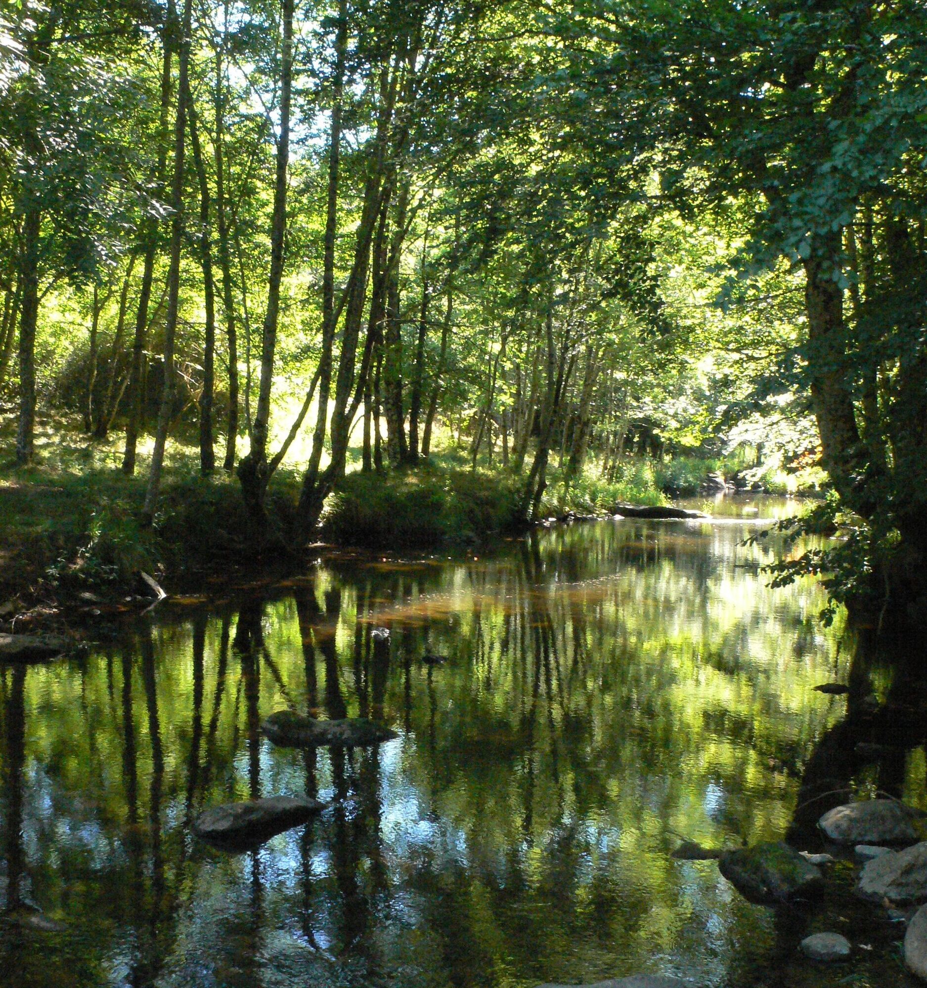
From the crests of the Espinouse to the deep undergrowth of the Agout valley, via the Prat d'Allaric pailler, this itinerary
discover the diversity of the Languedoc's landscapes and heritage.


1
From the parking lot, climb up to the D53, follow it to the right for 100 m, then fork left towards Cambounet. Pass two buildings and continue on the main road to reach a crossroads of tracks at a cistern.
2
Opposite, go down a fireguard. At the bottom, turn right to reach the Col de Fontfroide. Turn right 100 m onto the D14.
3
A path on the left leads down through the beech forest to a small road; turn left and cross La Montaudarié, then Le Fau. At the last houses, turn right up a path. At the road, turn left to the recycling bins at Col de Triby.
4
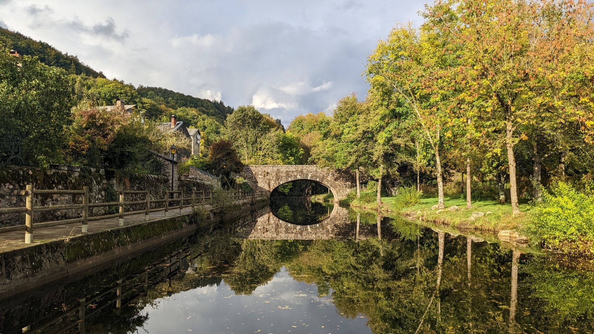
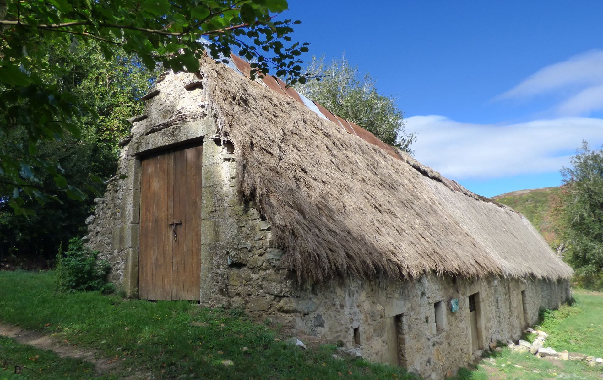
Turn right onto a path through the ferns. Descend and join the D169. Cross the road to the Prat d'Alaric farm. In front of the straw barn, turn left, then right, down a tree-lined path. At the bottom, turn right, then left onto the D169. After the stadium, fork left into Fraïsse. Cross the bridge, turn left, then right to the hotel. Continue right towards Murat-sur-Vèbre for 1 km.
5
5 After the second left-hand bend, go right down a path towards the Agout river. At the crossroads, turn right and cross a stream, then go uphill. Cross a concrete track and continue on a path. Pass a house, then cross a road and continue straight ahead. Ignore two switchbacks to reach Les Hers.
6
Continue past the houses, crossing two fences. Stay on the main path, turn left onto a track. Go right twice, then left.
7
Before the Rieugrand stream, turn right downhill. Go left twice, past two fences on steps, then cross a stream and follow it for a few metres. Continue on a track and cross the bridge to Pont d'Agout. Turn left onto the D53. Go downhill to the left on a footpath, cross a stream and return to the parking lot.
In an emergency, call 112
Jaune PR
+33 5 32 11 09 45
Monts & Lacs en Haut-Languedoc Tourist Office
PR - FFR
Priljubljeni izleti v okolici
-
5.0
HIKING OF THE HÉRIC GORGES VIA THE ORIENTATION TABLE
srednjaPohodništvo 16.3 km -
4.0
CAROUX SUMMIT HIKE
srednjaPohodništvo 7.94 km -
5.0
HIKING ROUTE OF THE TERRASSES DE L'ESPINOUSE
srednjaPohodništvo 16.8 km -
4.0
LEGENDS TRAIL HIKE
srednjaPohodništvo 11.4 km -
4.0
LAUZE HIKE
srednjaPohodništvo 9.41 km -
3.0
CYCLE LOOP No. 29 - FROM THE VALLEYS TO THE PEAKS OF HAUT-LANGUEDOC
srednjaKolesarjenje 64.3 km -
HERIC GORGES ROAD - MONS LA TRIVALLE
srednjaPohodništvo 9.38 km -
TOUR DE LAC DE VESOLES HIKE
svetlobaPohodništvo 6.27 km -
HIKING OF THE HÉRIC GORGES VIA THE COL DE BARDOU
srednjaPohodništvo 12.4 km -
VIALAIS HIKE
srednjaPohodništvo 13.4 km

Pohodništvo in sledenje


Ne zamudite ponudb in navdiha za naslednje počitnice
Vaš e-poštni naslov je bil dodan na poštni seznam.





